


Panüöl - Fursch
Úroveň obtížnosti: 1
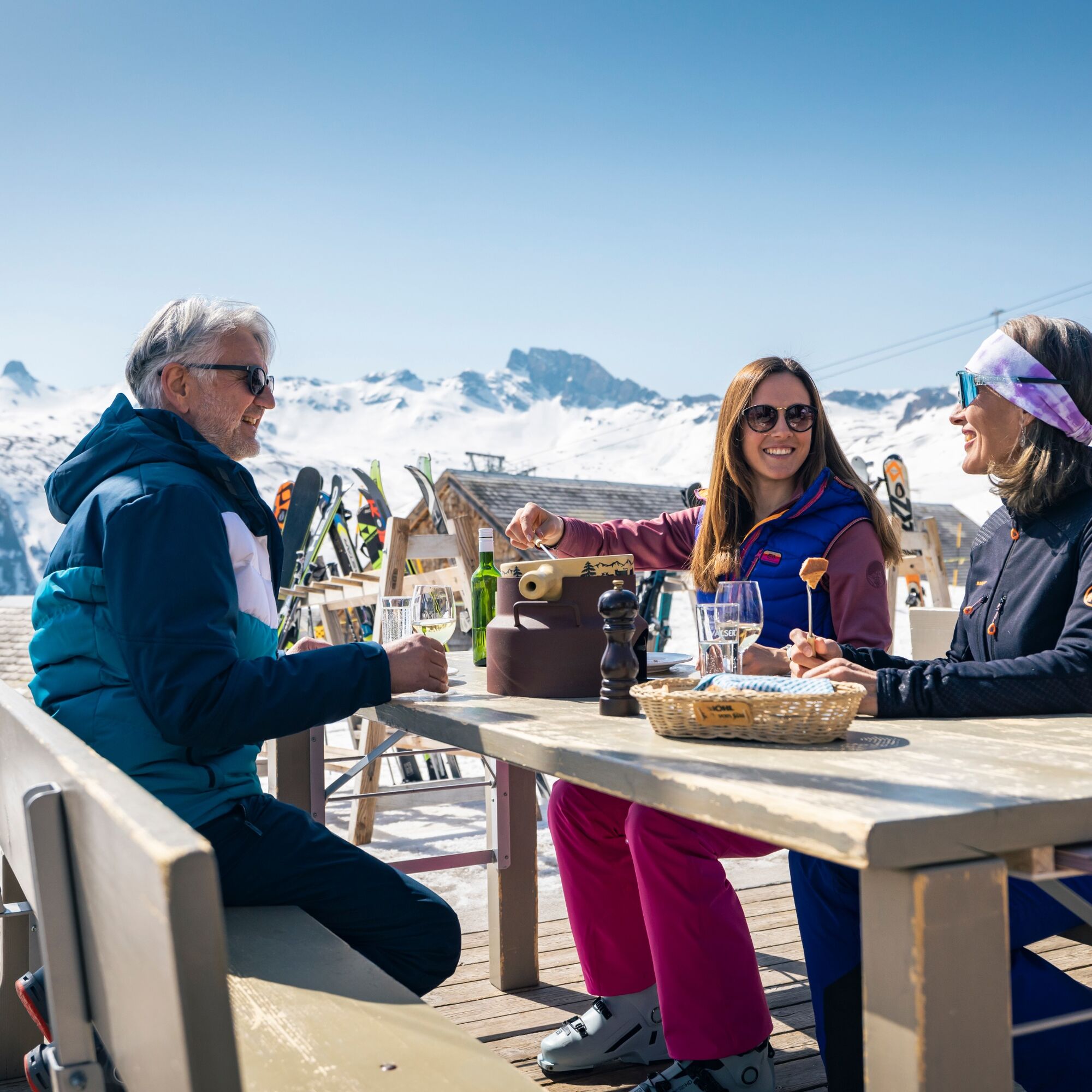
Fotografie našich uživatelů
-

 © cgassVytvořeno dne 04.01.2026
 -
 © cgassVytvořeno dne 04.01.2026
 -
 © cgassVytvořeno dne 04.01.2026
 -
 © cgassVytvořeno dne 04.01.2026
 -
 © cgassVytvořeno dne 04.01.2026
 -
 © cgassVytvořeno dne 04.01.2026
 -
 © Marlyse LeuVytvořeno dne 16.02.2025
 -
 © Daniel HerzVytvořeno dne 28.03.2026
 -

 © mosi mönäVytvořeno dne 07.09.2025
 -

 © PezzottaVytvořeno dne 22.06.2025
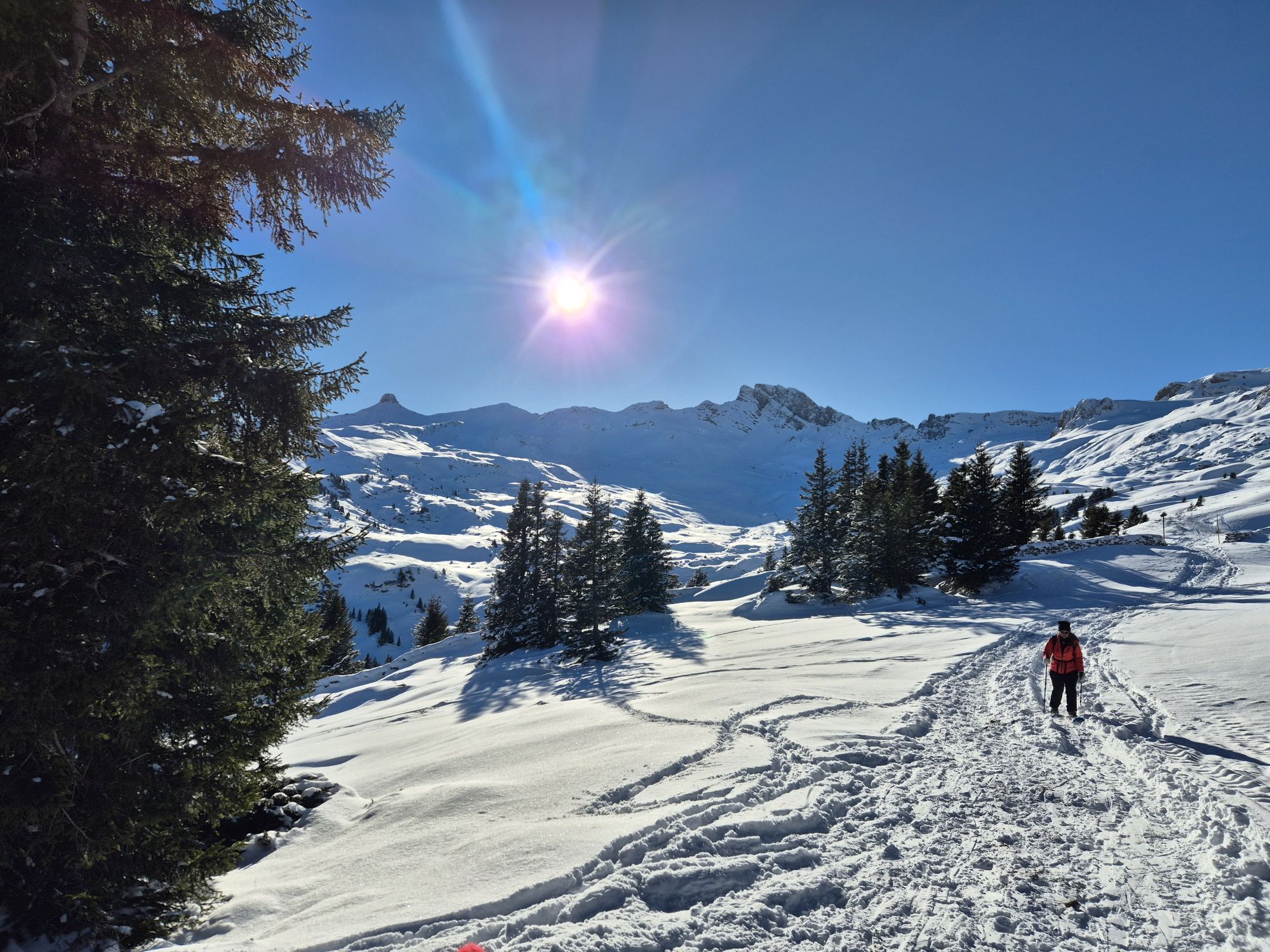

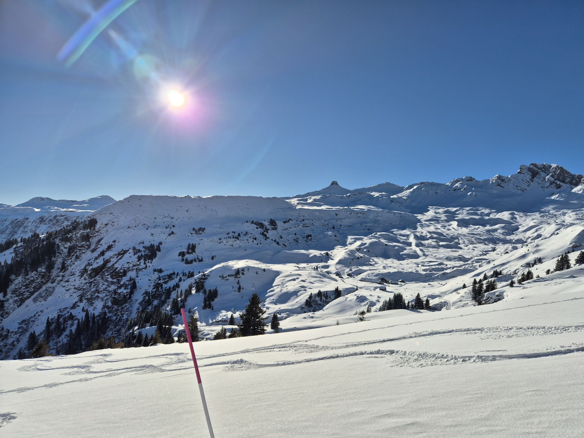
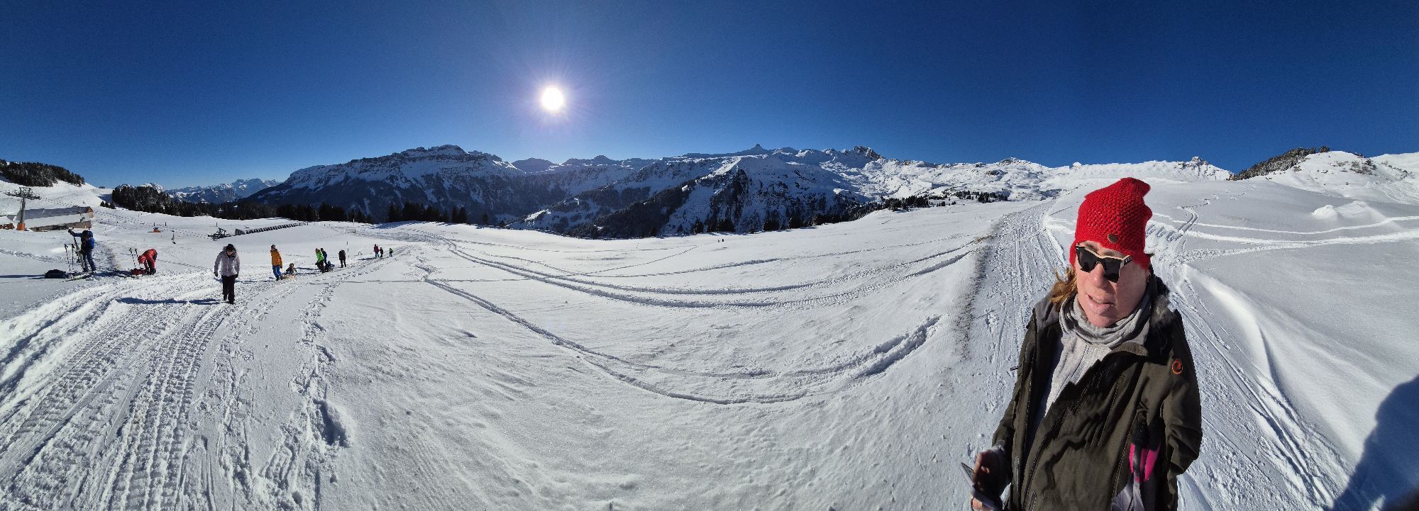


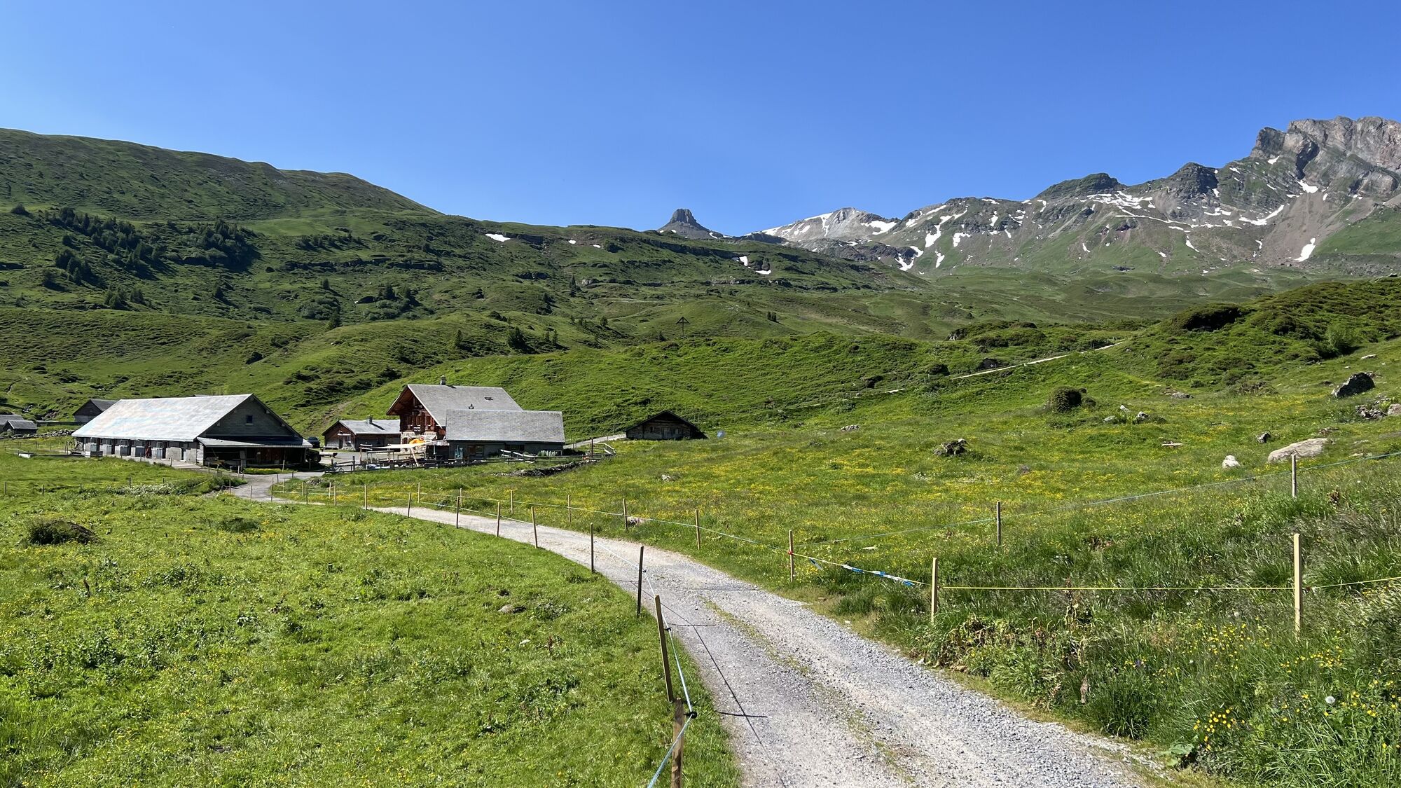
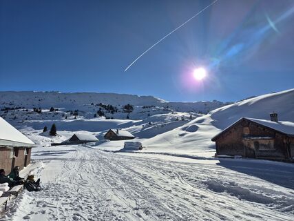
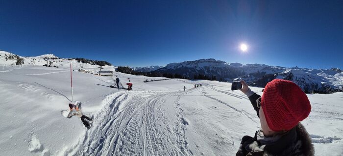
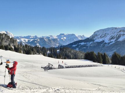
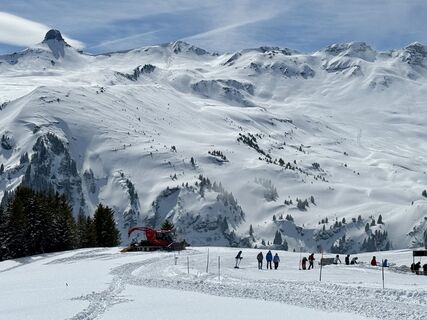
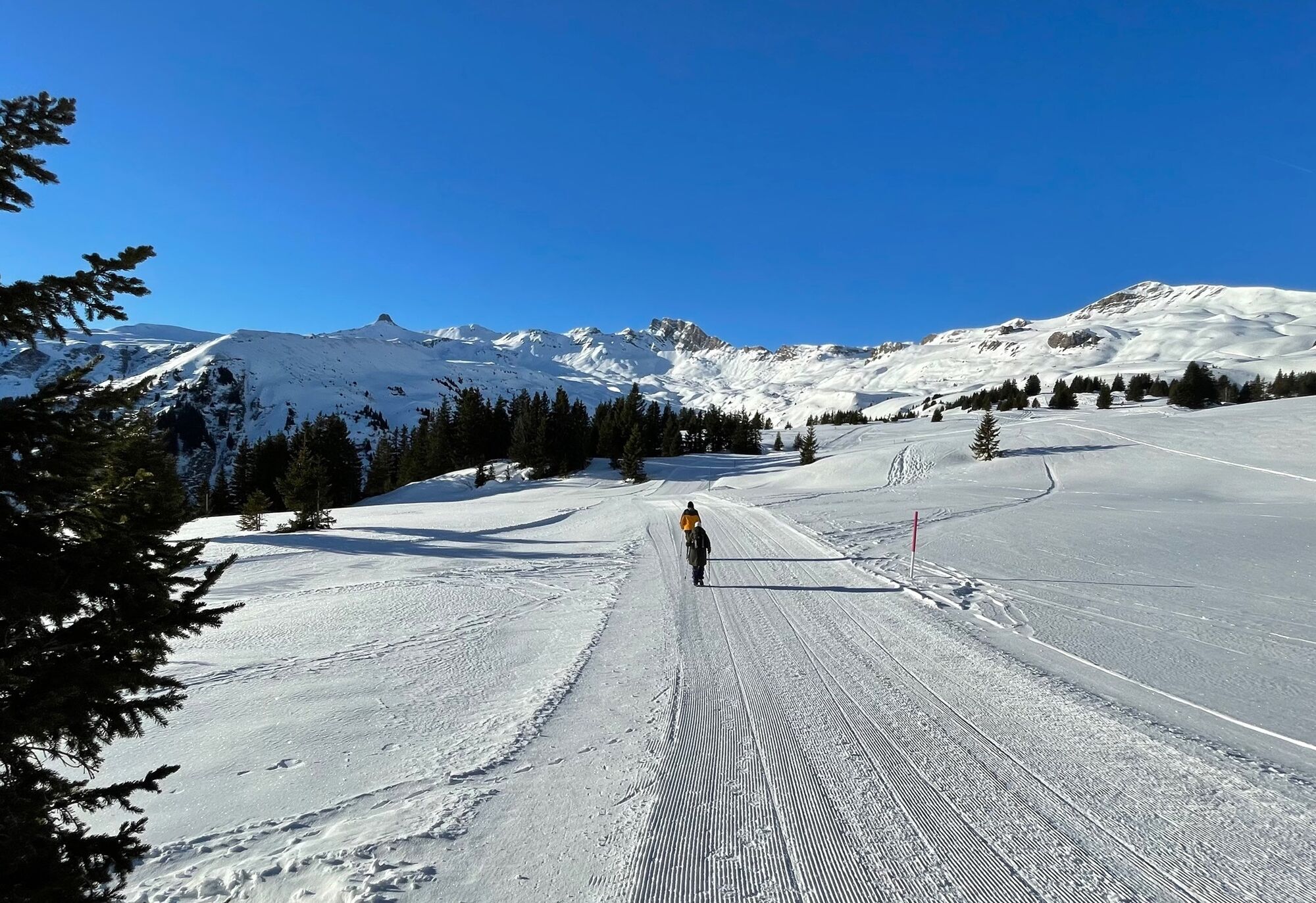
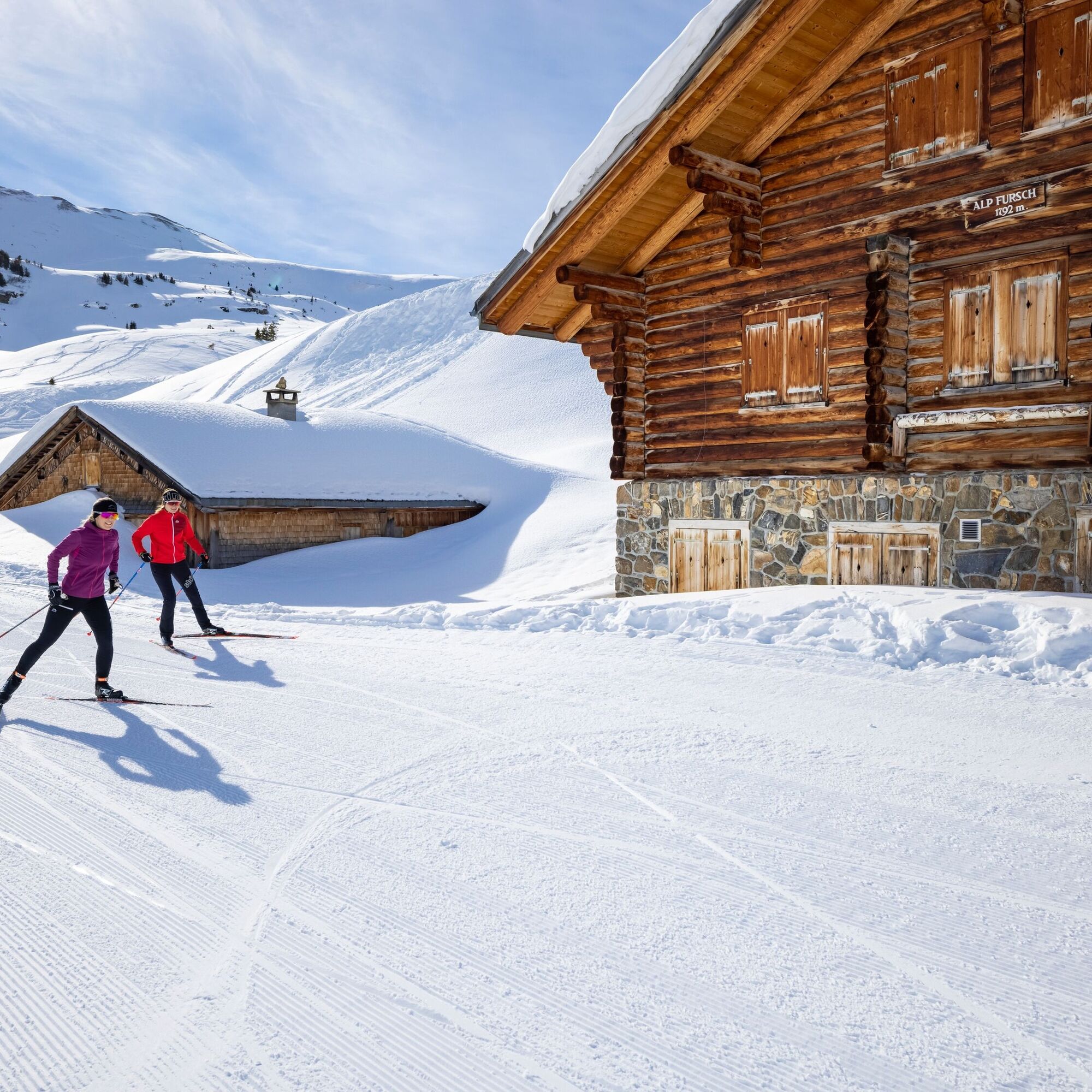
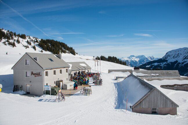
The start of the winter hike is Panüöl. You reach this starting point by taking the gondola from Tannenboden to Maschgenkamm and then descending from there with the 6-person chairlift to Panüöl. Another...
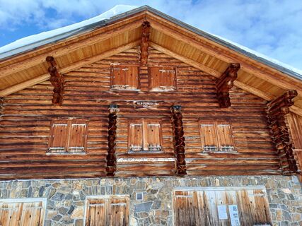
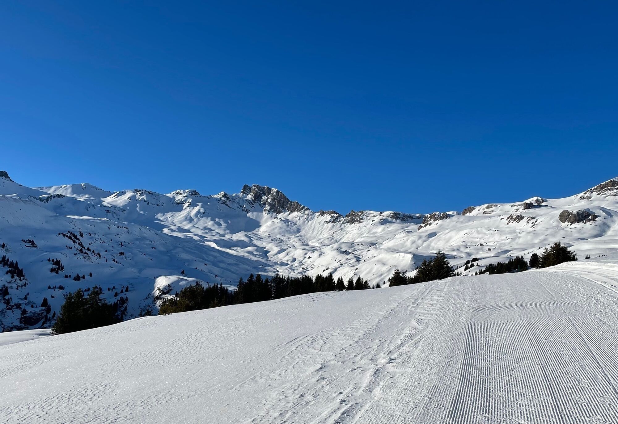
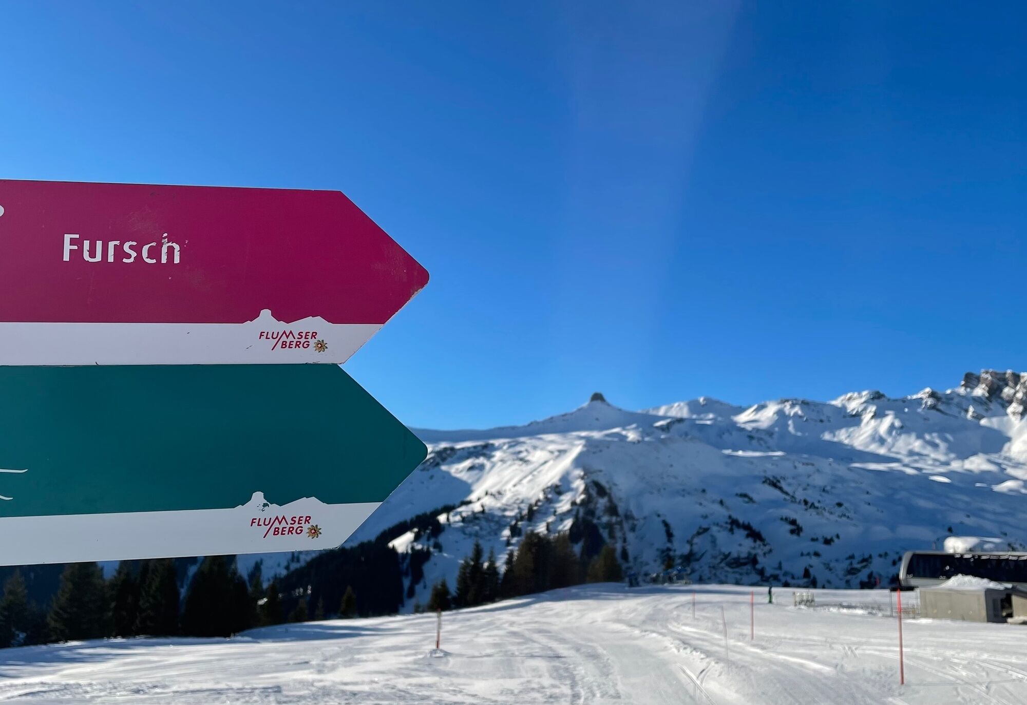
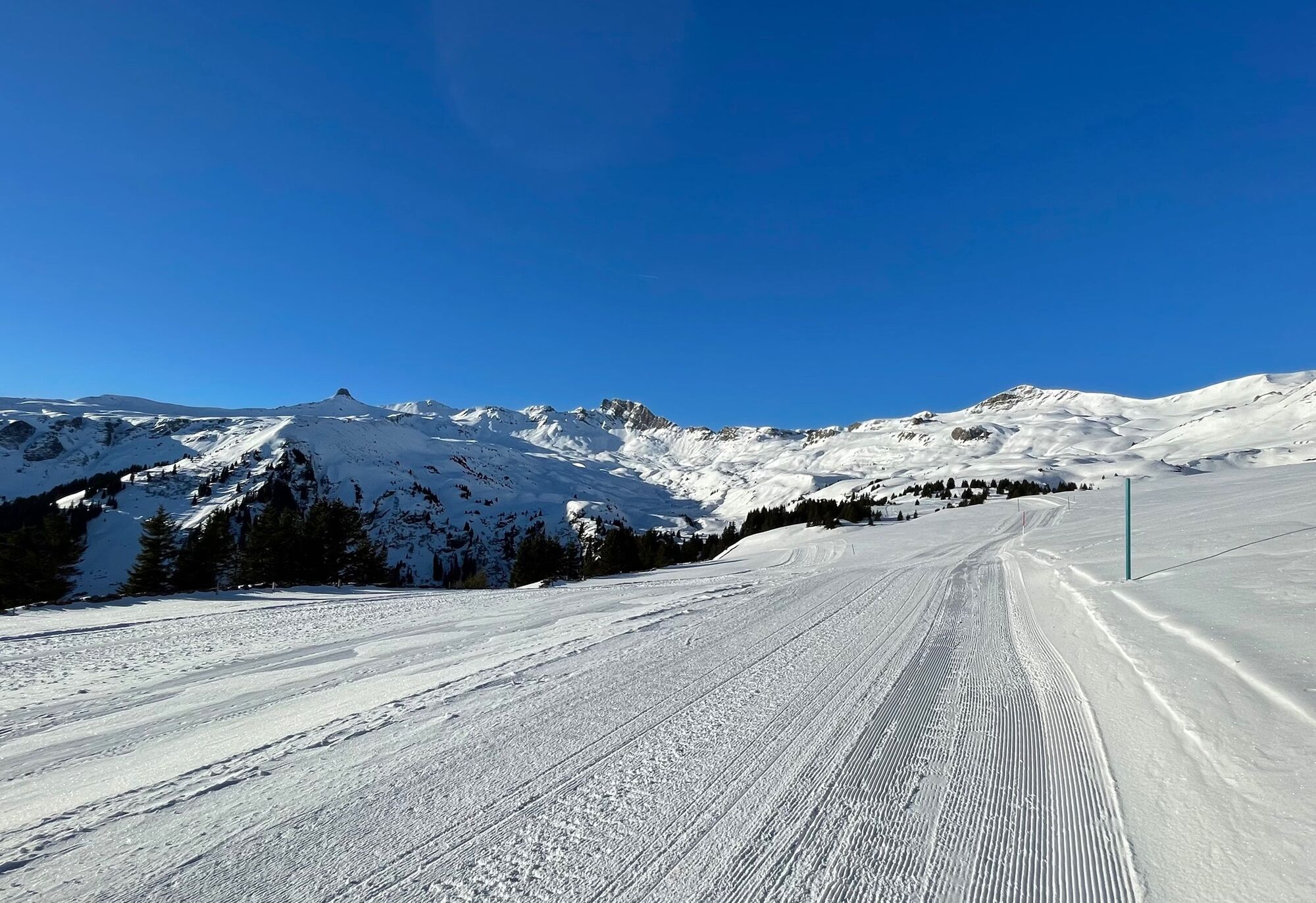
The start of the winter hike is Panüöl. You reach this starting point by taking the gondola from Tannenboden to Maschgenkamm and then descending from there with the 6-person chairlift to Panüöl. Another option is to hike from Prodalp to Panüöl on the winter hiking trail. From Panüöl, follow the signs on the winter hiking trail towards Fursch. You walk past the valley station of the 6-person chairlift Panüöl. Your gaze is always directed towards the Spitzmeilen. After a short time, you pass the Plattis button lift on the right and reach the highest point halfway along the way. The hiking trail then leads gently downhill until you reach the Fursch tea hut. Once there, enjoy the winter panorama.

Ano
Normal winter hiking equipment, sturdy shoes.
Take the Flums/Flumserberg highway exit, follow the main road towards Flumserberg Tannenboden. Then take the gondola to Maschgenkamm. Alternatively, follow the main road to Flumserberg, Tannenheim and from there take the gondola to Prodalp.
One option is to take the gondola from Tannenboden to Maschgenkamm and then continue from there with the chairlift to Panüöl.
Travel by train to Unterterzen and then up with the Unterterzen - Tannenboden cable car
Daily from Zurich with the S25 to Ziegelbrücke, then change to the S4 to Unterterzen; from St. Gallen with the S4 directly to Unterterzen; from Zurich and Chur with the RE to Walenstadt, then change to bus 444 to Unterterzen
From Unterterzen, the 8-person gondola takes you directly to Flumserberg at the Tannenboden valley station. Then take the gondola up to the Maschgenkamm panoramic restaurant.
Travel by train to Flums and post bus to Flumserberg Tannenboden
Daily to Flums or Sargans, then bus 441 towards Flumserberg to the Tannenboden cable car stop. Then take the gondola to the Maschgenkamm panoramic restaurant.
Public parking is available at Tannenheim and Tannenboden.
The parking lots are paid from 07:00 to 17:00. From 17:00 to 02:00 the car can be parked for free.
Between 02:00 and 07:00 there is a night parking ban. There are enough night parking spaces in the Tannenboden or Tannenheim parking garages.
The night parking lot can be used for a fee, but camping is prohibited.
1
Heidiland Tourism
Information Office Flumserberg
T +41 81 720 18 18
www.heidiland.com
Enjoy the peace and nature that surround you up there.
Oblíbené prohlídky v okolí
-
4.7
Walensee Riviera Weesen - Quinten
středníTuristika 10.2 km -
4.7
Riviera Lake Walen Walenstadt-Quinten
středníTuristika 10.4 km -
3.7
5-Seen-Wanderung - DER KLASSIKER
heavyTuristika 9.70 km -
4.7
Alvier
středníTuristika 3.33 km -
4.6
4-Summit-Route Flumserberg
středníTuristika 8.65 km -
5.0
Schrina Alp and Cultural Trail
středníTematická stezka 11.5 km -
4.7
Quinten-Trail 453
středníBěh 8.97 km -
3.2
Route of amazement Flumserberg
světloTuristika 8.03 km -
4.5
Amden - Speer (Rundkurs)
světloTuristika 17.6 km -
3.7
Winter hike on the Rosenboden panoramic circular route
světloZimní turistika 2.95 km
Pěší turistika a stopování


Nenechte si ujít nabídky a inspiraci pro vaši příští dovolenou
Vaše e-mailová adresa byl přidán do poštovního seznamu.