


Winter hike Gamsalp - Mazills - Gamsalp
Úroveň obtížnosti: 2
Fotografie našich uživatelů
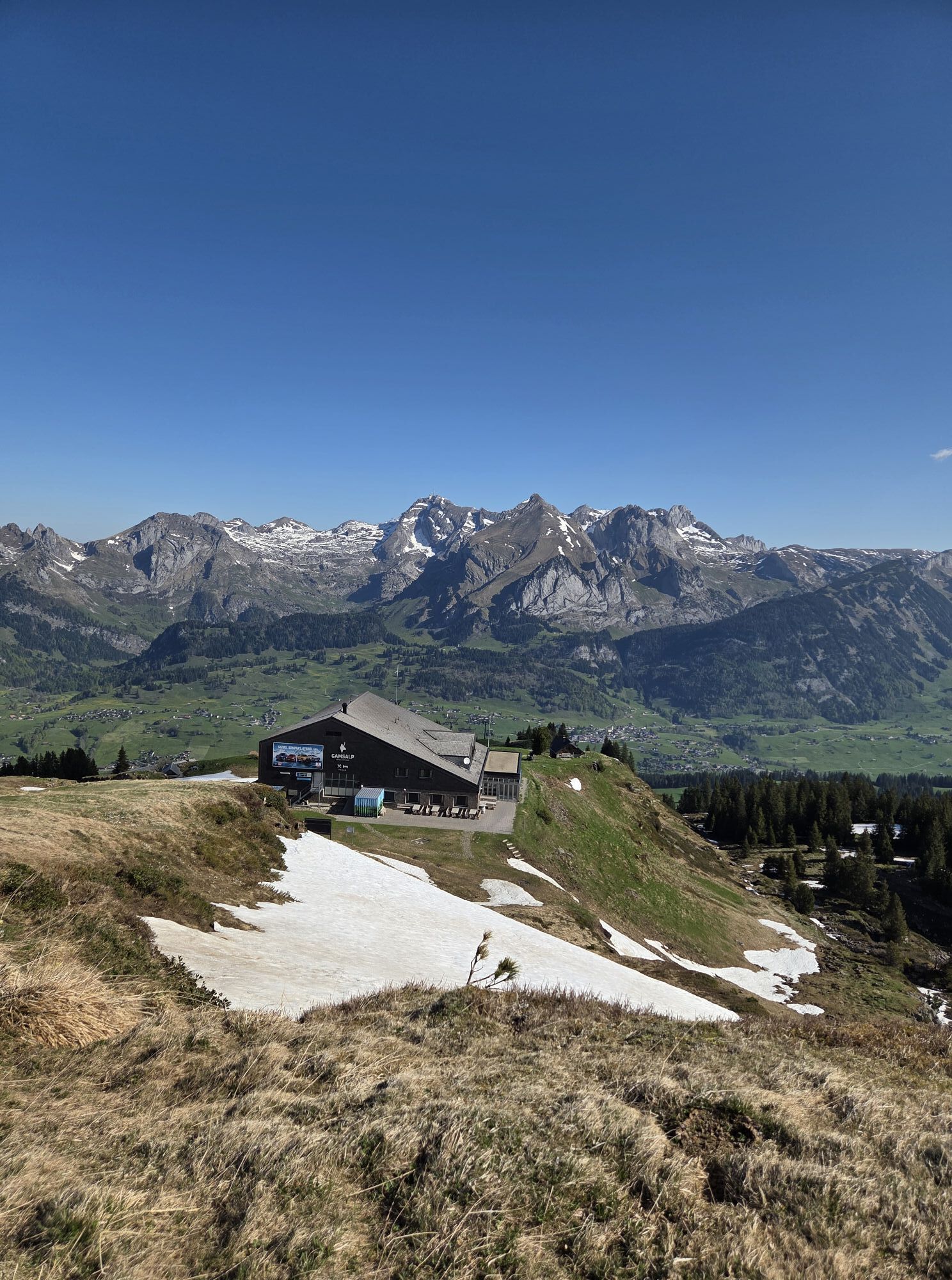
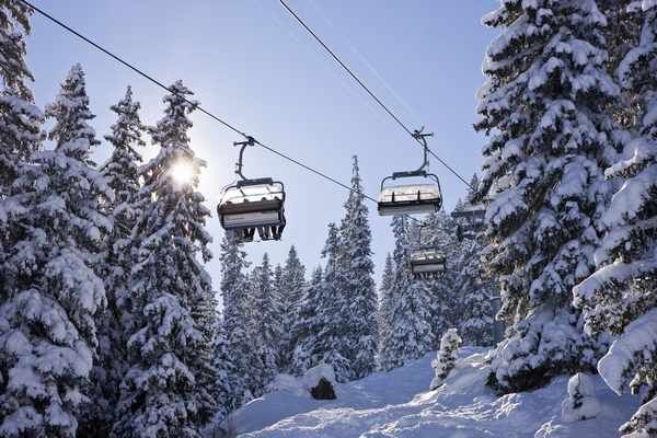
With the Wildhaus-Oberdorf and Oberdorf-Gamsalp chairlifts to the 1770 m above sea level Gamsalp viewing terrace. The winter hiking trail, groomed under good conditions, leads through gently rolling terrain...
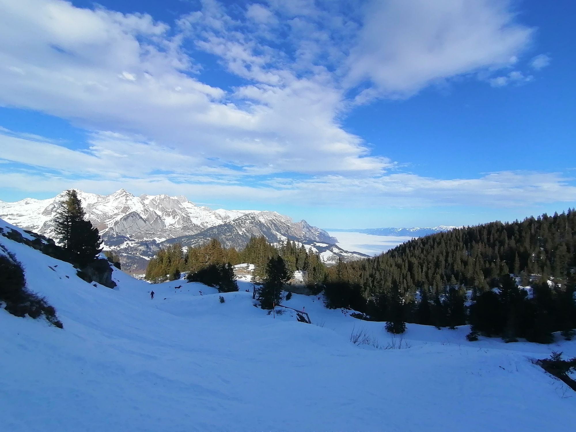
With the Wildhaus-Oberdorf and Oberdorf-Gamsalp chairlifts to the 1770 m above sea level Gamsalp viewing terrace. The winter hiking trail, groomed under good conditions, leads through gently rolling terrain to the Mazills viewpoint. The view extends from the snow-covered peaks in the Alpstein with Säntis over Werdenberg with Gamsberg and onto Liechtenstein, Montafon, and Vorarlberg.

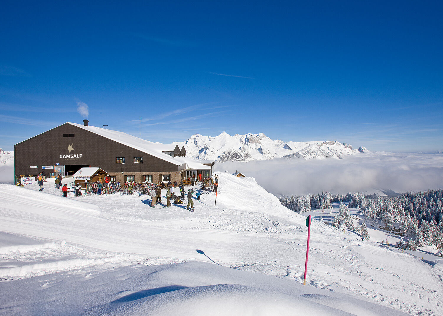
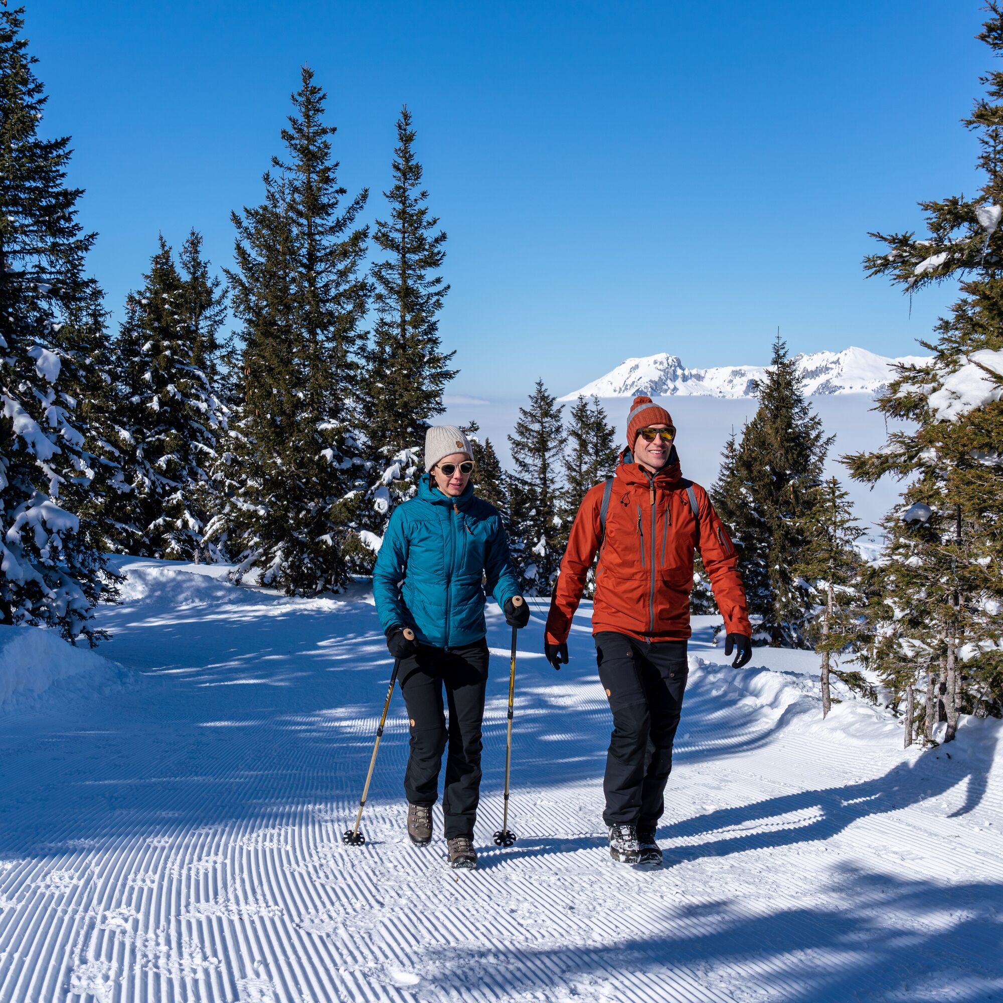
From the Gamsalp mountain station, the winter hiking trail leads eastwards and is continuously marked. From the Marzills viewpoint, the path follows the same route back to the Gamsalp mountain station.
Ano
Ano
Ano
Ano
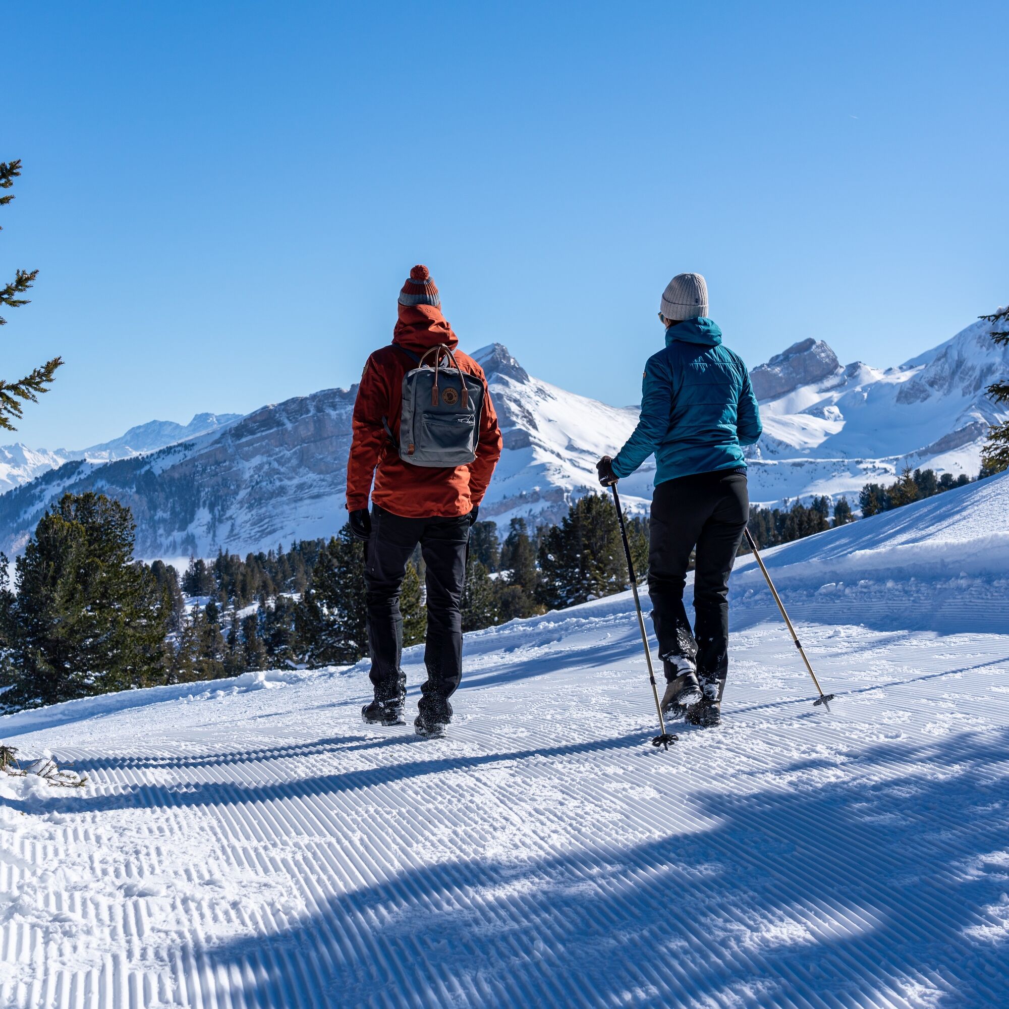
Day hiking backpack (approx. 20 liters) with rain cover, comfortable and waterproof winter shoes or sturdy hiking boots, possibly crampons and gaiters, warm and weatherproof clothing in layers, hat / headband, scarf, gloves, sun and rain protection, provisions and drinking water, thermos bottle with hot drink, first aid kit, pocket knife, mobile phone, possibly headlamp, map material, possibly telescopic poles
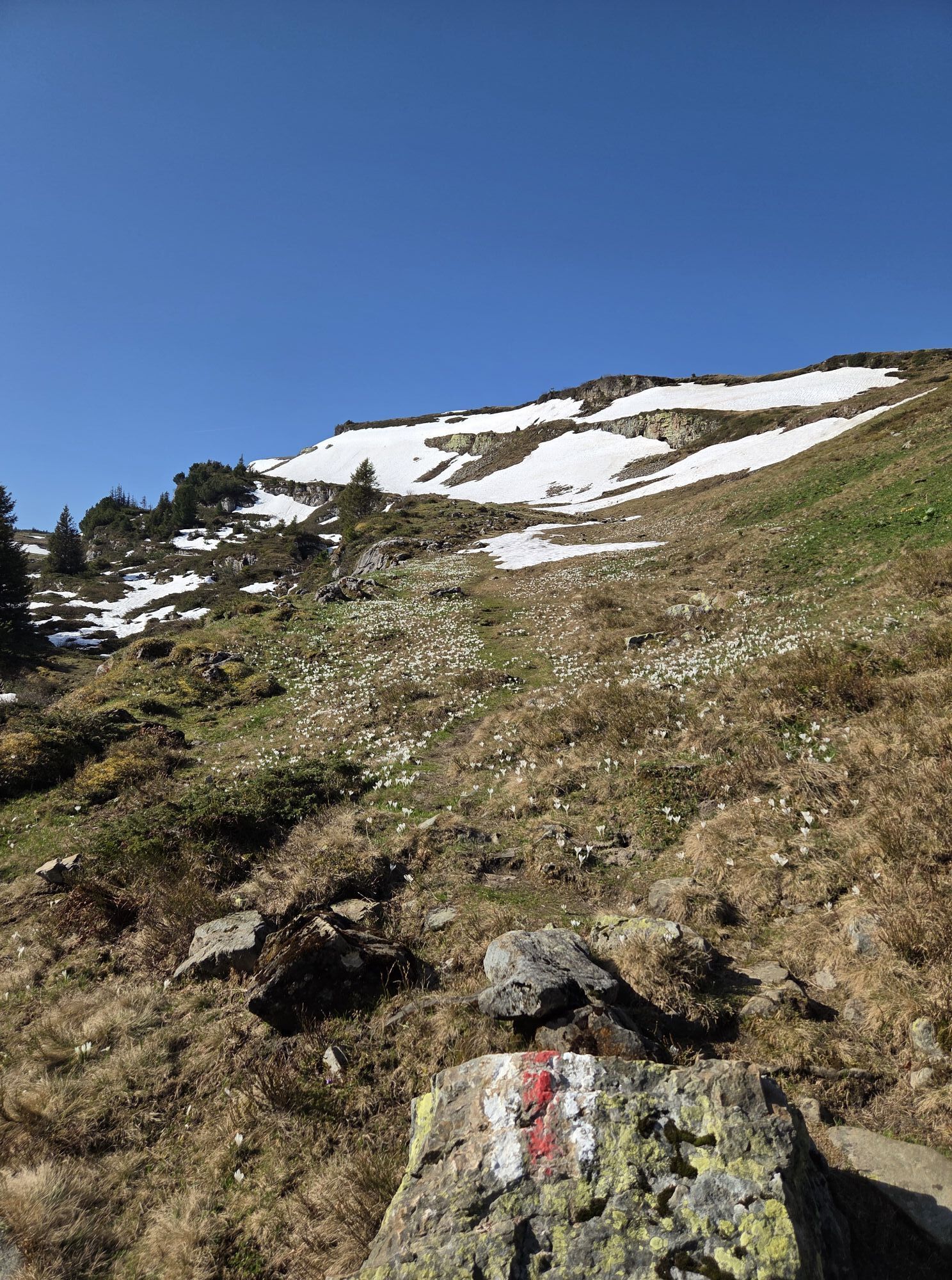
Away from the continuously well-marked winter hiking trail, there is a risk of falling due to karst holes and wildlife protection zones border the area, so the path should not be left under any circumstances.
Take A3 at Reichenburg towards Rapperswil and then over the Ricken Pass to Wattwil. Then up the Toggenburg to Wildhaus Munzenriet. From Eastern Switzerland:
From St. Gallen to Herisau and then via Wasserfluh to Lichtensteig. Or from St. Gallen to Wil, take the Toggenburg exit. Follow the main road to Wildhaus Munzenriet. From the southern German region:
Via Bregenz and St. Margrethen on the A13 to Haag and take the exit towards Toggenburg/Wildhaus. Or via Konstanz to Wil, then take the Toggenburg exit and follow the main road to Wildhaus Munzenriet.
By train to Nesslau Neu St. Johann station and then by bus to the stop "Wildhaus Lisighaus." From the bus stop, it is a five-minute walk to the Thur - Oberdorf chairlift. Once in Oberdorf, a 3-minute walk to the Oberdorf - Gamsalp chairlift.
From the Rhine Valley by train to Buchs station and then by bus to the "Wildhaus Lisighaus" bus stop.
From the bus stop, it is a five-minute walk to the Thur - Oberdorf chairlift. Once in Oberdorf, a 3-minute walk to the Oberdorf - Gamsalp chairlift.
Parking spaces are available at the large Munzenriet Wildhaus parking lot
2
Current information on the status of the winter hiking trail can be found on our snow sports report.
www.toggenburg.swiss/schneesportbericht
Toggenburg Tourism
Hauptstrasse 104
9658 Wildhaus
+41 71 999 99 11
info@toggenburg.swiss
www.toggenburg.swiss
Information on the mountain railways and the Gamsalp mountain inn:
Wildhaus Mountain Railways
+41 71 998 50 50
Binoculars belong in the backpack on this winter hike.
Webové kamery z prohlídky
Oblíbené prohlídky v okolí
-
4.7
Walensee Riviera Weesen - Quinten
středníTuristika 10.2 km -
4.7
Riviera Lake Walen Walenstadt-Quinten
středníTuristika 10.4 km -
4.7
Wasserauen - Seealpsee - Wasserauen
středníTuristika 7.71 km -
4.6
Tour Brülisau - Saxerlücke - Hoherkasten⛰
heavyTuristika 16.6 km -
4.9
Säntis-Gipfeltour, Wasserauen / Appenzell Innerrhoden
heavyTuristika 21.1 km -
5.0
Staubern-Runde (15.8.2021)
středníTuristika 8.65 km -
4.8
2 Seenwanderung Sämtisersee und Fälensee
středníTuristika 14.6 km -
4.7
Alvier
středníTuristika 3.33 km -
4.6
4-Summit-Route Flumserberg
středníTuristika 8.65 km -
5.0
Traumhafte 3-Seen/Hütten Runde in Appenzell Schweiz
středníVysokohorská turistika 19.7 km
Pěší turistika a stopování


Nenechte si ujít nabídky a inspiraci pro vaši příští dovolenou
Vaše e-mailová adresa byl přidán do poštovního seznamu.