


Hut route Sardona Hut SAC
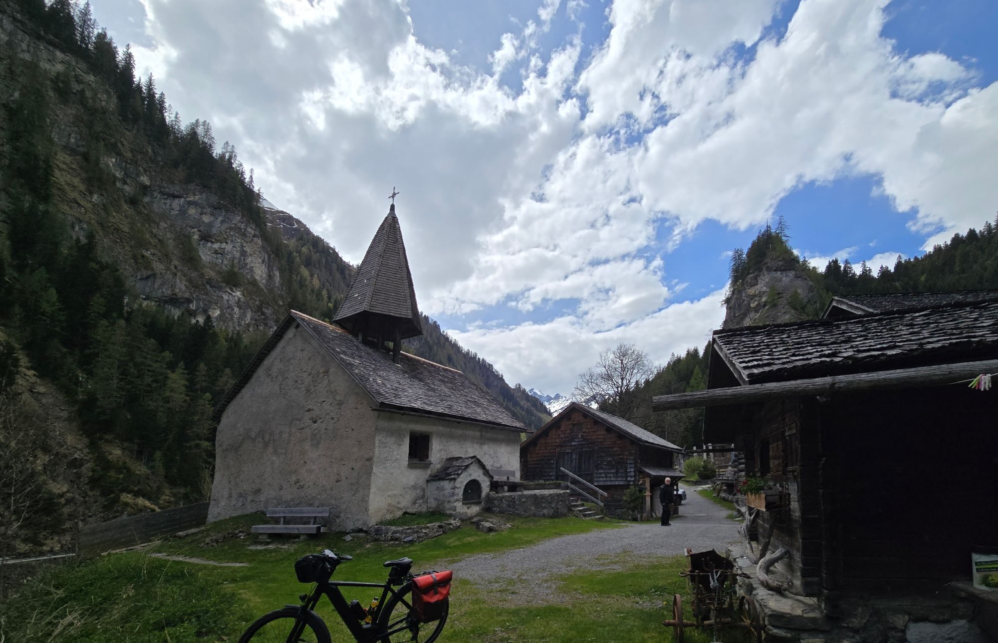
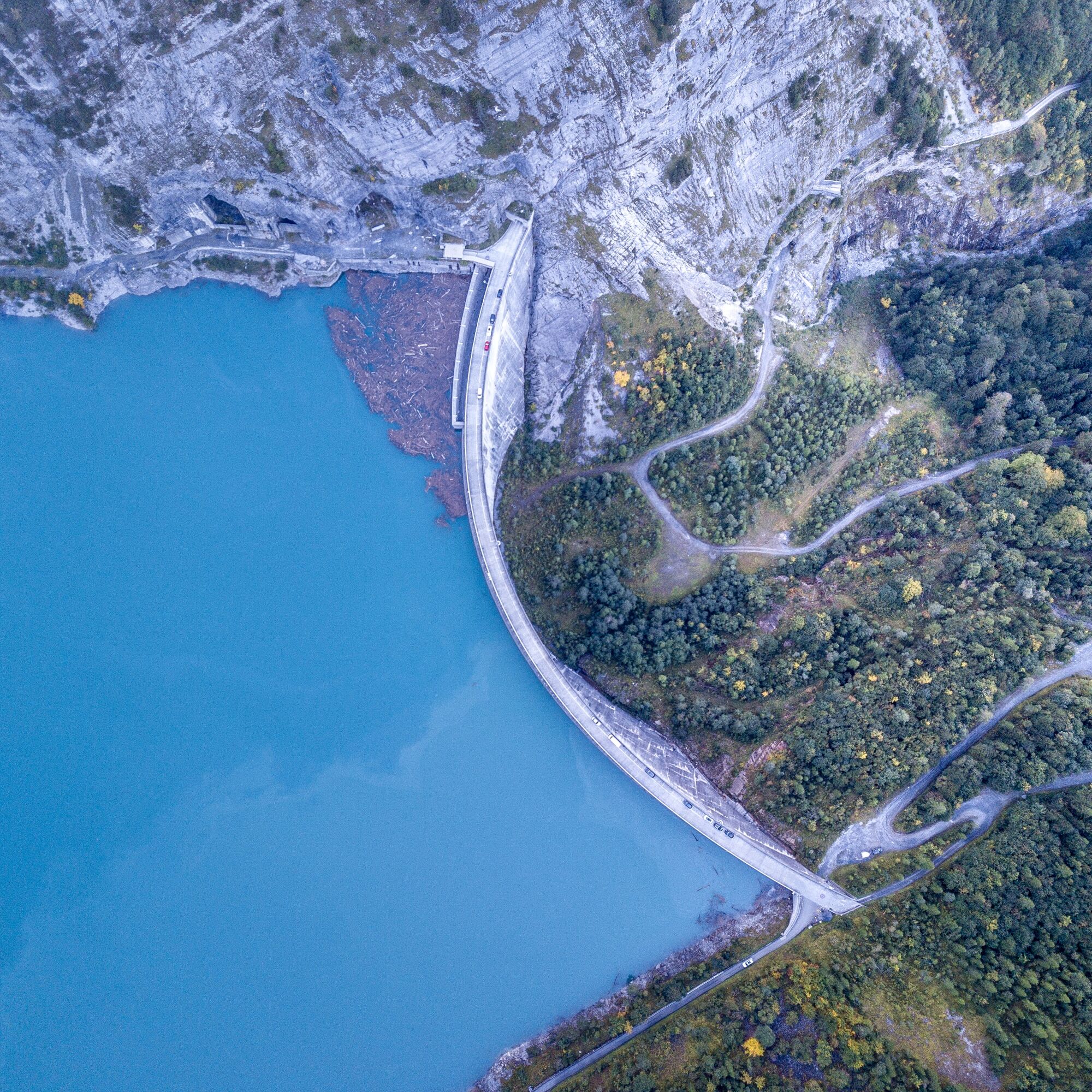
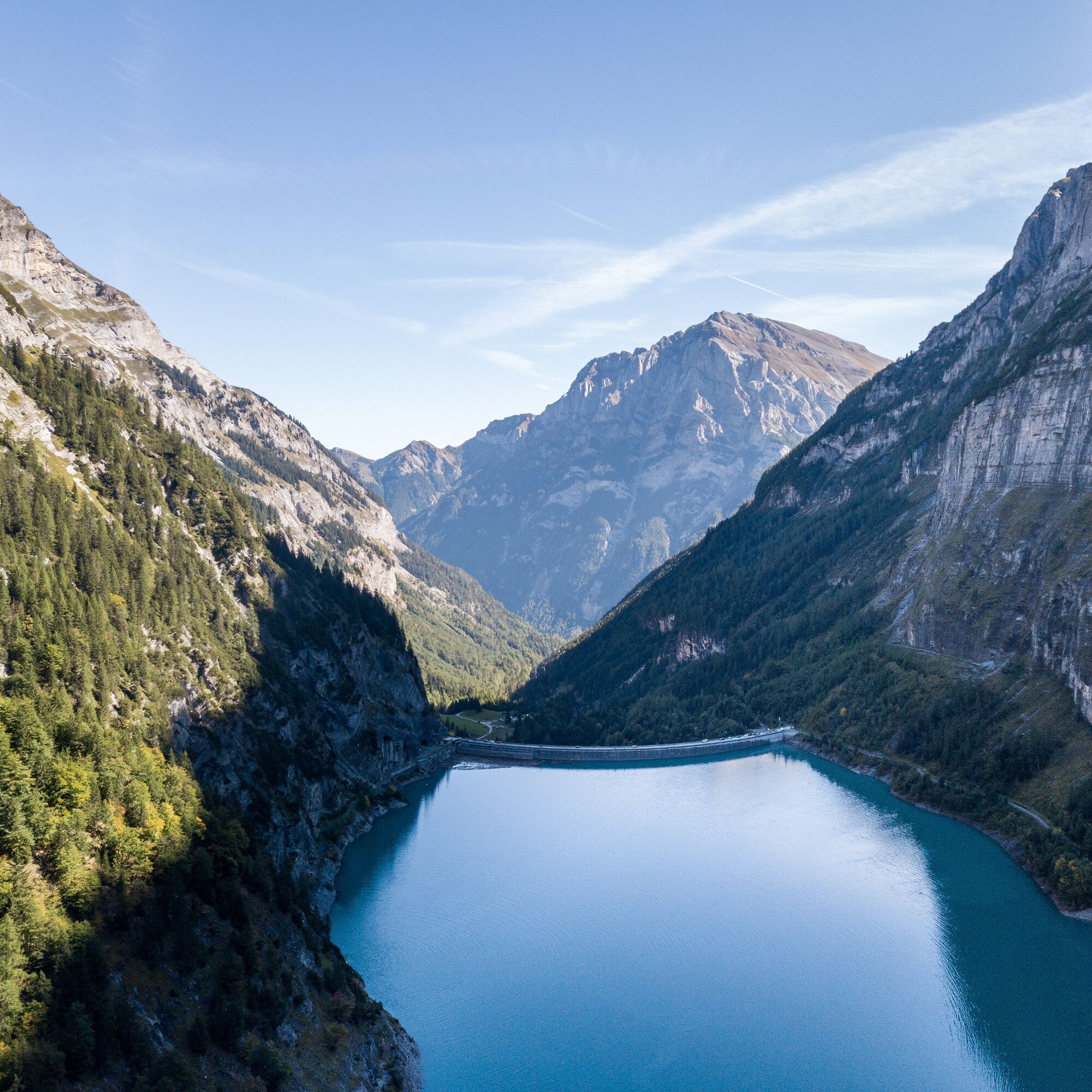
The two-day hut route starts at the Gigerwald bus stop, dam. After a short walk along Lake Gigerwald, you reach the former Walser village Sankt Martin. The hike initially follows the Tamina River. After...
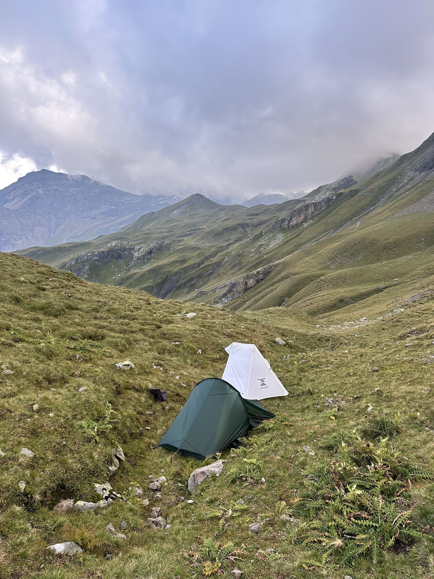
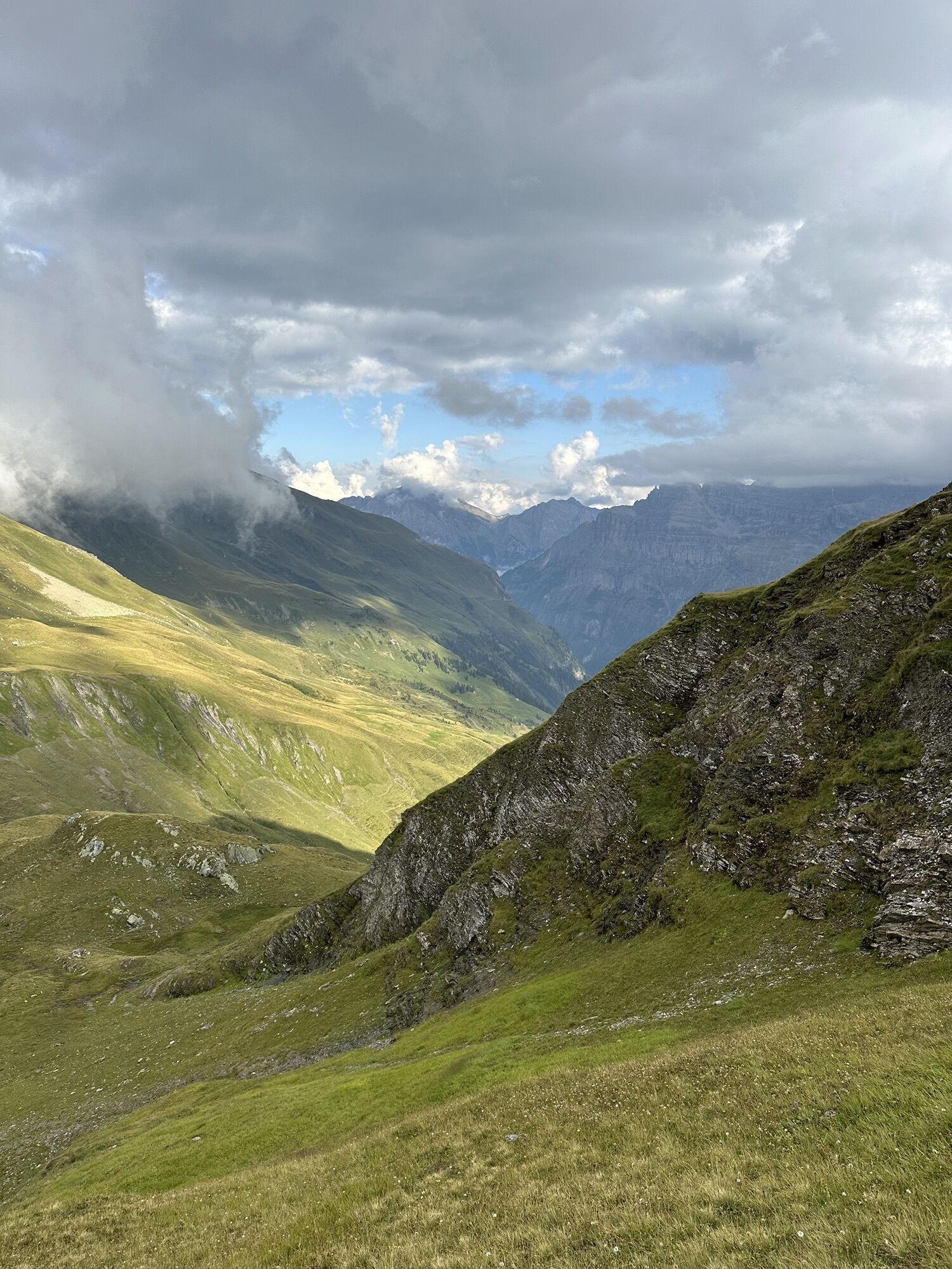
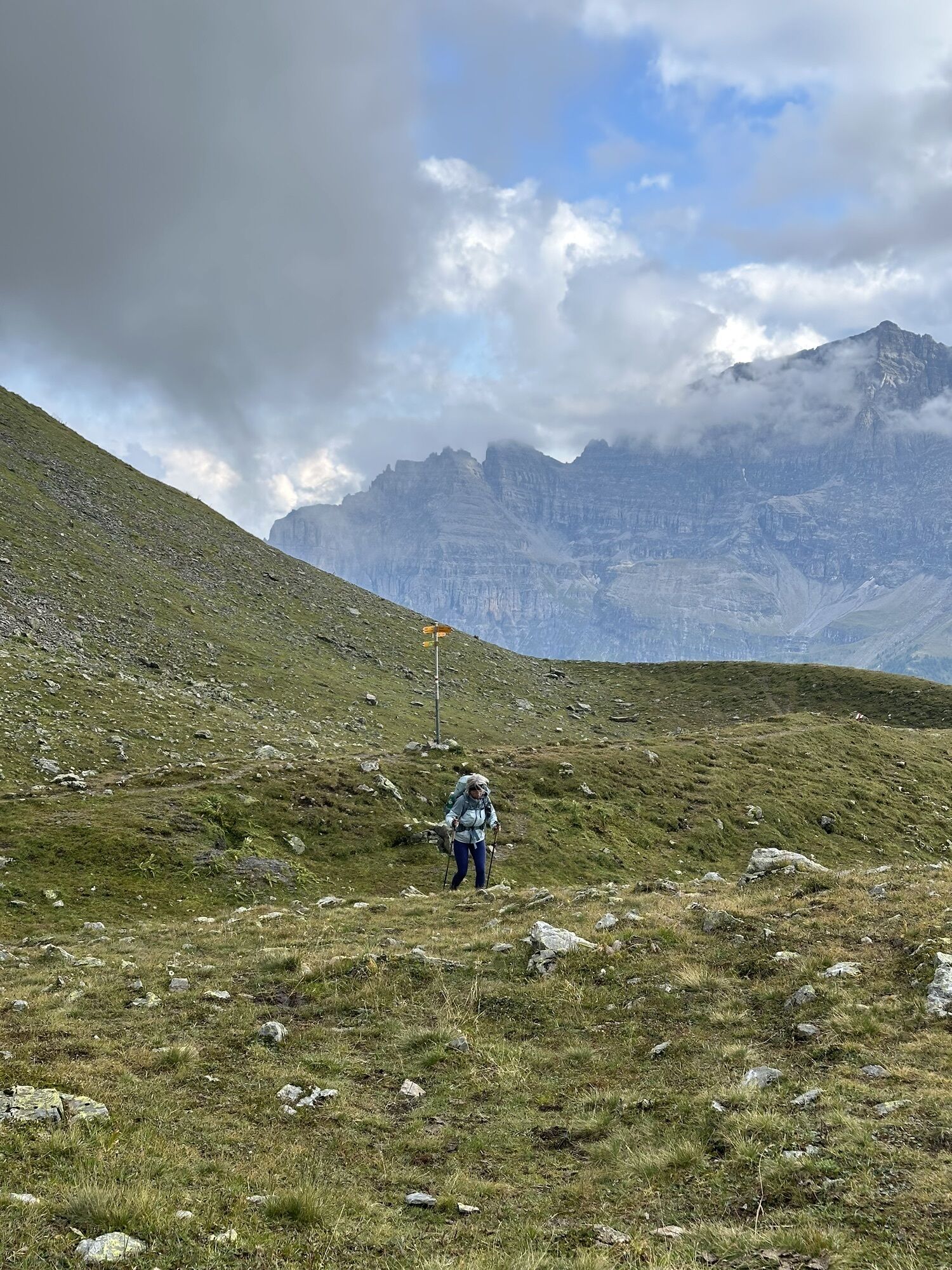
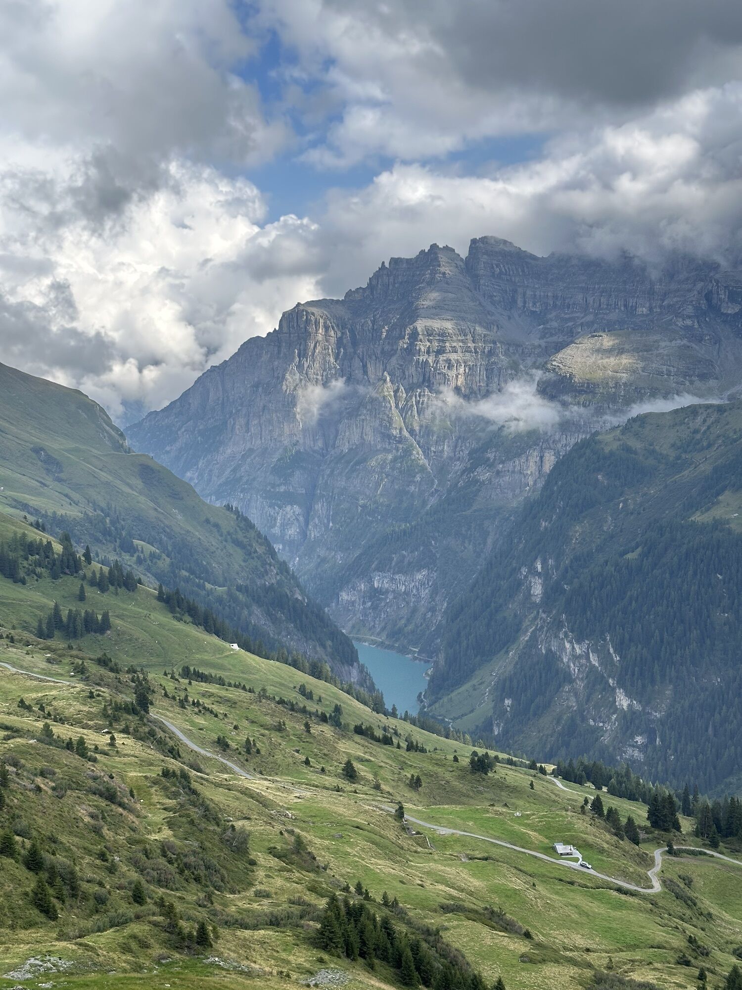
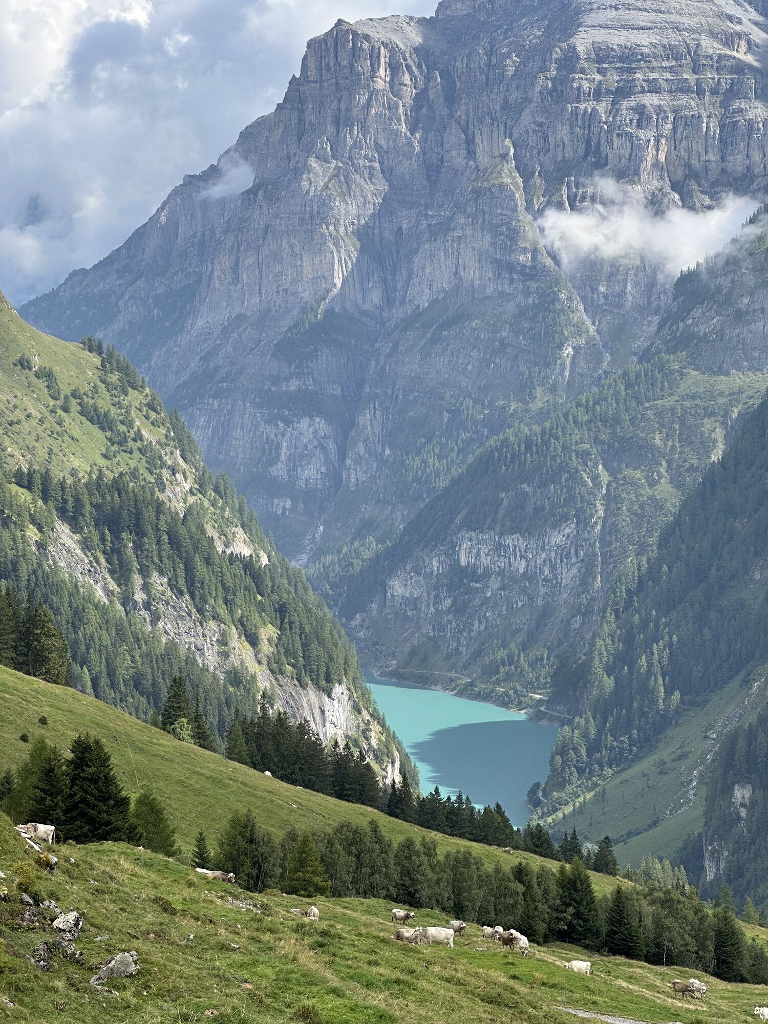
The two-day hut route starts at the Gigerwald bus stop, dam. After a short walk along Lake Gigerwald, you reach the former Walser village Sankt Martin. The hike initially follows the Tamina River. After a while, you pass the Sardona Alp, which has a small menu during the alpine season. Then continue to the Sardona Hut, located just below the Sardona Glacier. It serves as your accommodation until you start the second stage of the hike the next day.
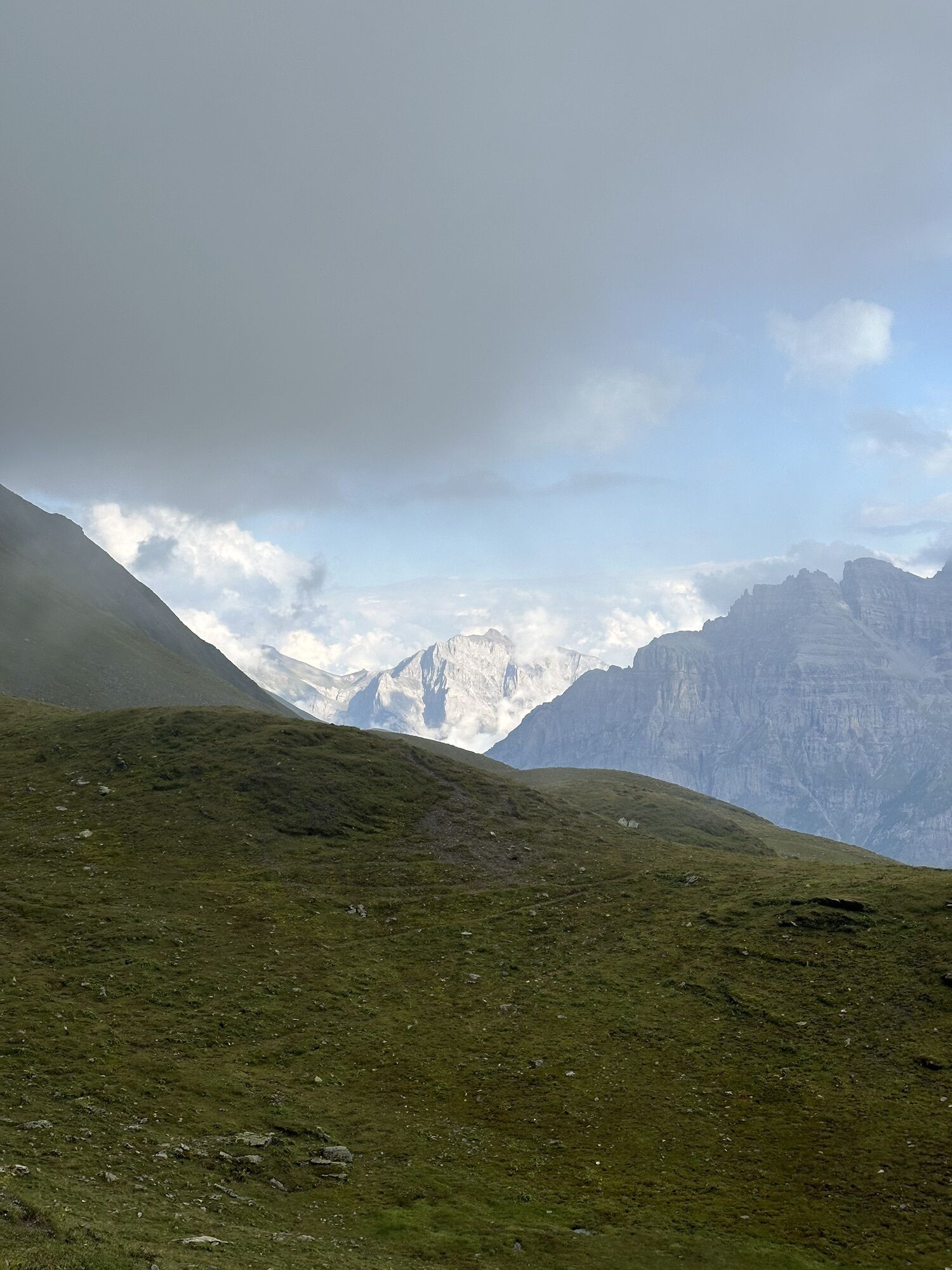
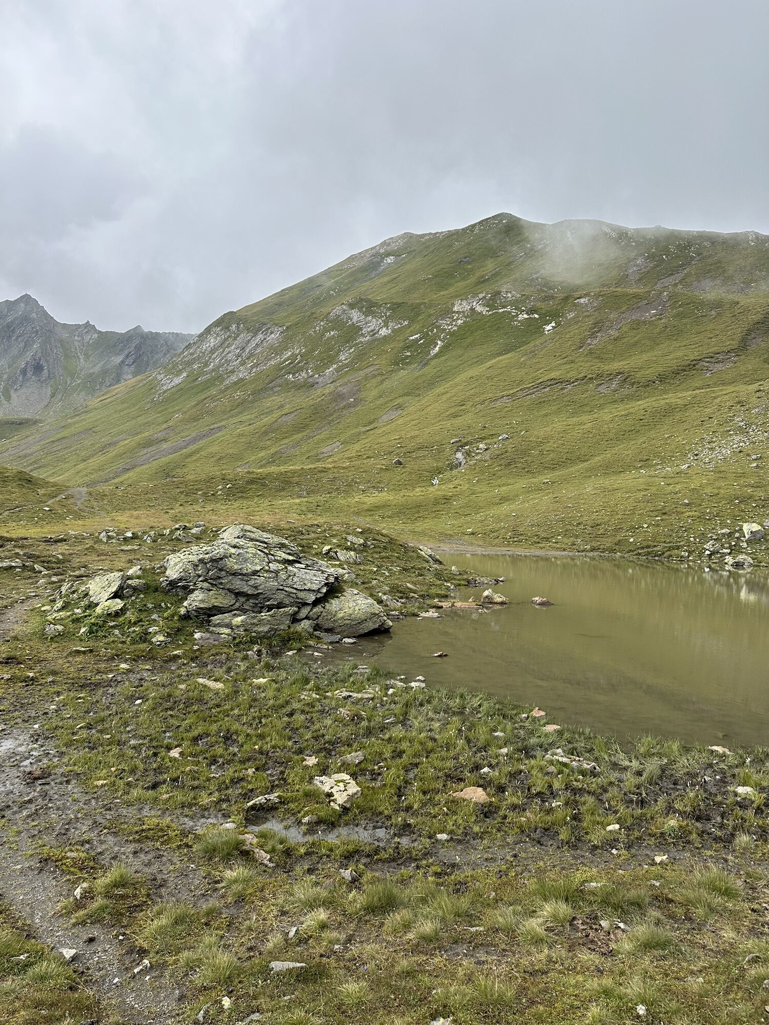
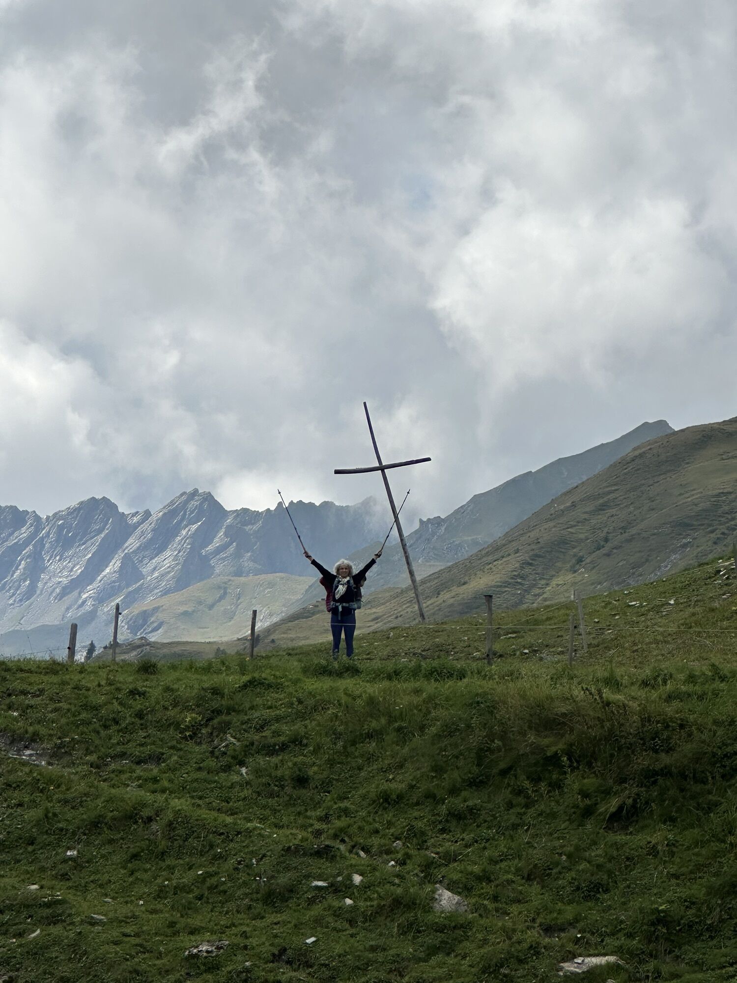
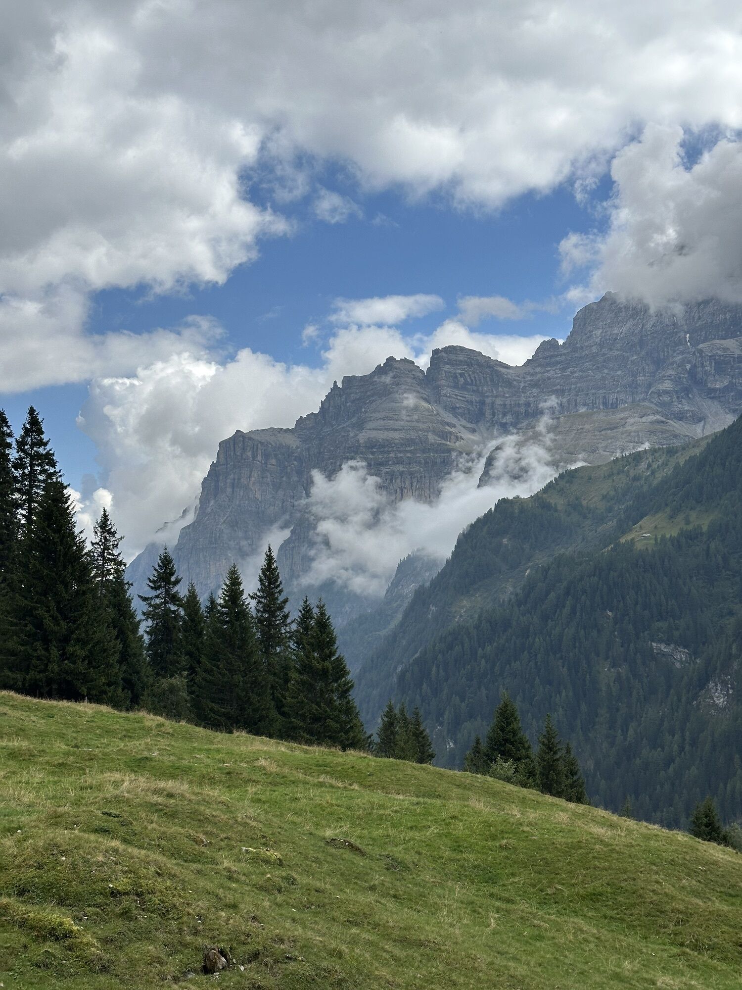
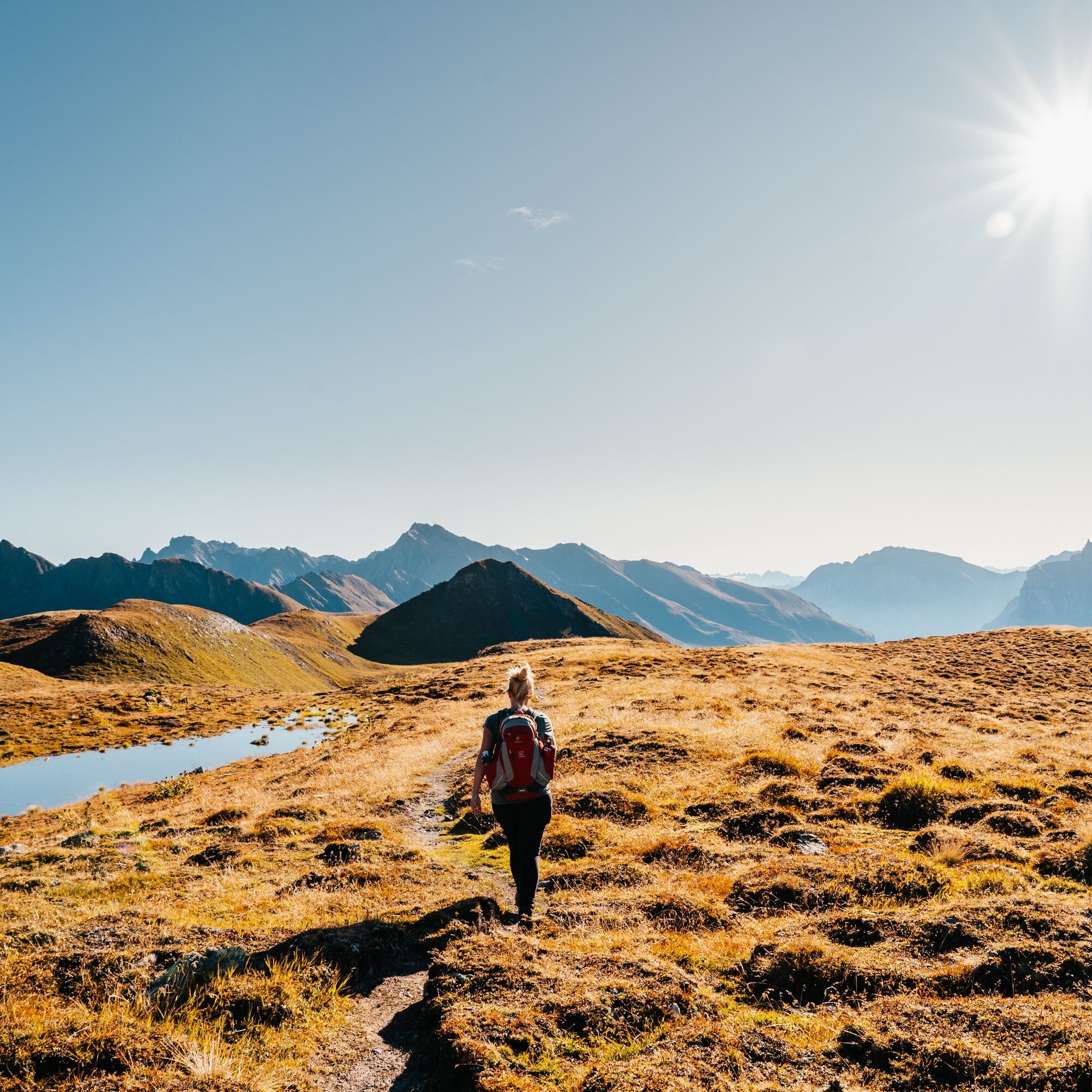
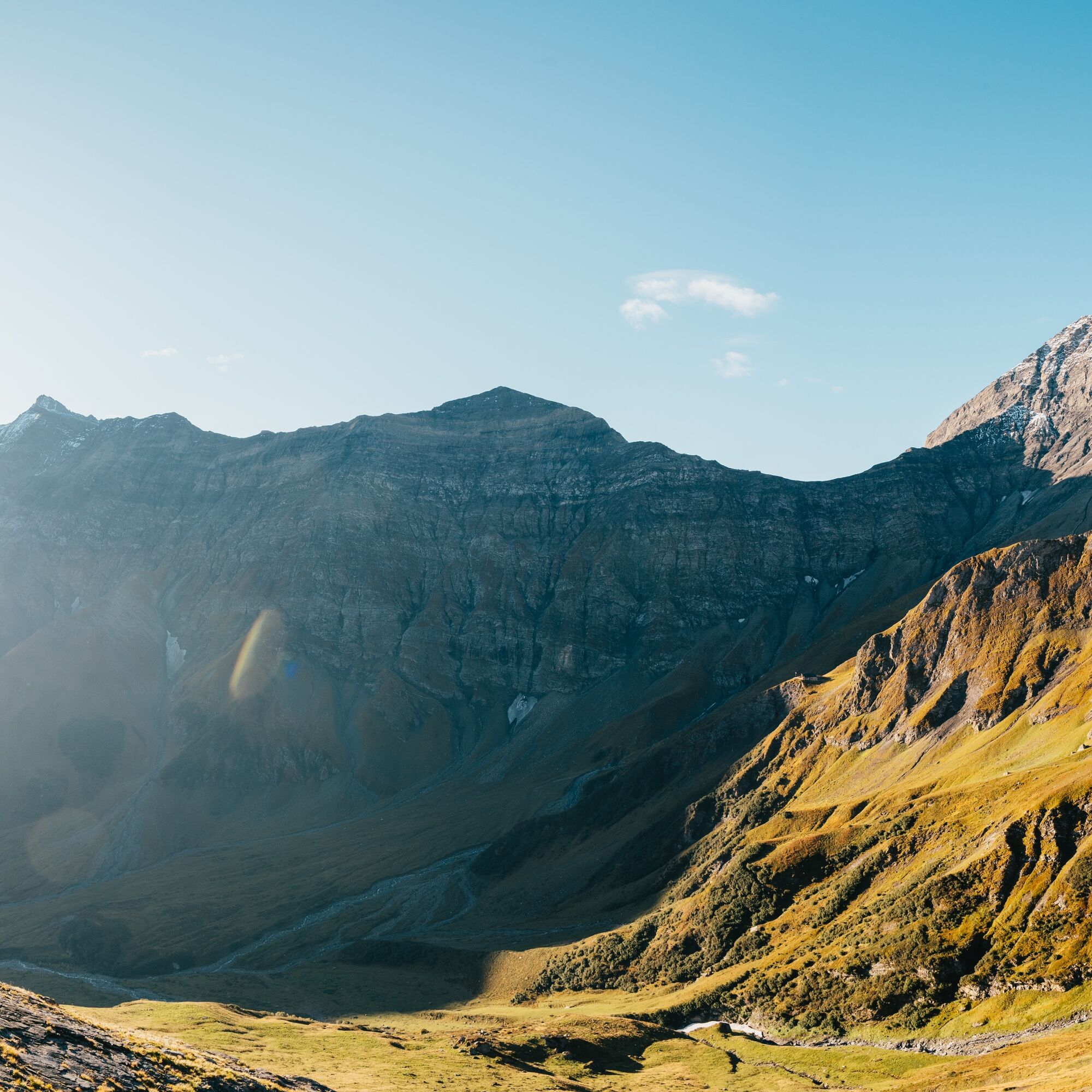
On the second day, unique rock formations of the UNESCO World Heritage Site Tectonic Arena Sardona await you. The hike passes Platten and Heitelsee, which are excellent for a rest break. The ridges and mountain peaks on your way down to Sankt Martin are ibex territory. But even if you don't see an ibex, the hike with the mountain backdrop from Ringel, Sardona to Gigerwaldspitz is a real eye-catcher.

St. Martin - Sardona Alp - SAC Hut Sardona - Rear Chratzeri - Front Chratzeri - Plattenseeli - Horni - Chüetal - Heitelseeli - Malanseralp - St. Martin
Sturdy and well-broken-in footwear and a change of clothes for possible weather changes.
The Walser village Sankt Martin is accessible by car. From every full hour, cars can drive from Gigerwald dam to Sankt Martin for 20 minutes (one-way).
By train to Bad Ragaz. From there by bus to Gigerwald, dam.
The Walser village Sankt Martin has a parking lot.
Sardona Hut SAC
7315 Pfäfers
Phone +41 81 306 13 88
Email jaeger.beat@bluewin.ch
Heidiland Tourism
Information Center Bad Ragaz
Phone +41 81 300 40 20
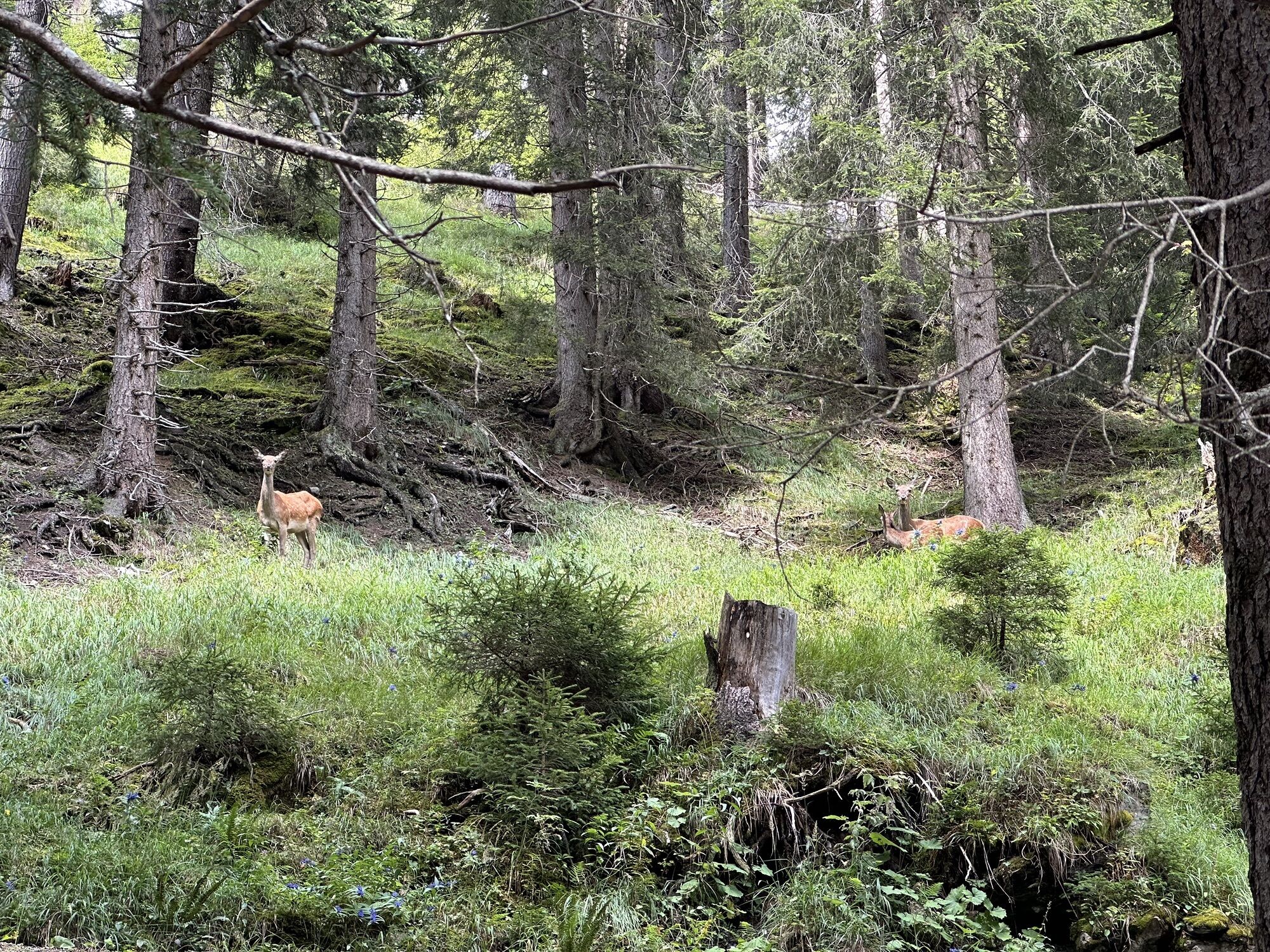
With some luck, you can spot bearded vultures in the wild on the circular hike, which have been reintroduced in this area.


Oblíbené prohlídky v okolí
- 4,6
5-Seen Wanderung am Pizol
světloTuristika 10,1 km - 4,4
4-lake hike: Caumasee - Crestasee - Felsbach Gorge
středníTuristika 12,8 km - 4,8
Rhine Gorge Hike: Senda Ruinaulta (659)
světloTuristika 9,39 km - 4,8
Mountain hike to the Strudeltöpfe on Alp Mora: Bargis-Trin
heavyTuristika 18 km - 4,7
The Water Trail: Trutg dil Flem 764
heavyTematická stezka 8,56 km - 4,7
Mädems Trail
středníSněžnice 7,48 km - 5,0
Caumasee tour: Flims - Caumasee - Conn - Flims
světloTuristika 7,94 km - 5,0
Circular hike Bettlerweg & 2-Lakes Hike Pizol
středníTuristika 11,4 km - 5,0
Guscha ridge path
středníTuristika 7,96 km - 5,0
Lower Segnesboden: Nagens Sura - Lower Segnesboden - Segnes hut - Alp Nagens
středníTuristika 6,66 km
Pěší turistika a stopování


Nenechte si ujít nabídky a inspiraci pro vaši příští dovolenou
Vaše e-mailová adresa byl přidán do poštovního seznamu.