


Toggenburg Ridgeway, Stage 5, Chrüzegg - Hulftegg
Fotografie našich uživatelů
-
 © SvenVytvořeno dne 18.04.2026
 -
 © SvenVytvořeno dne 18.04.2026
 -

 © ClaudiaVytvořeno dne 02.01.2023
 -
 © ClaudiaVytvořeno dne 02.01.2023
 -
 © ClaudiaVytvořeno dne 02.01.2023
 -
 © Daniel NaefVytvořeno dne 06.04.2025
 -
 © Daniel NaefVytvořeno dne 06.04.2025
 -
 © Daniel NaefVytvořeno dne 06.04.2025
 -
 © Daniel NaefVytvořeno dne 06.04.2025
 -
 © Daniel NaefVytvořeno dne 06.04.2025
 -
 © Daniel NaefVytvořeno dne 06.04.2025
 -
 © Daniel NaefVytvořeno dne 06.04.2025

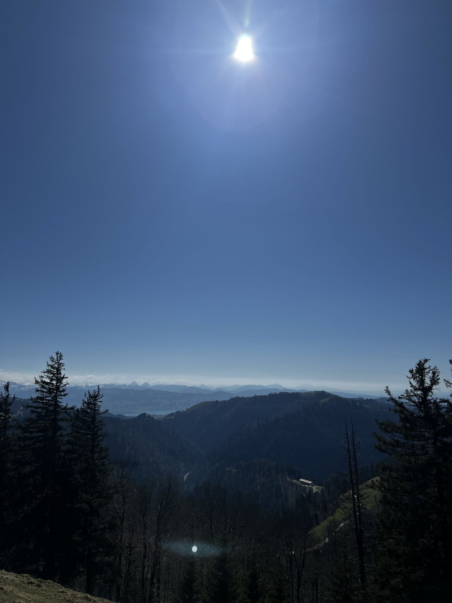


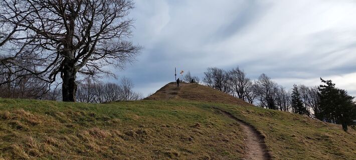
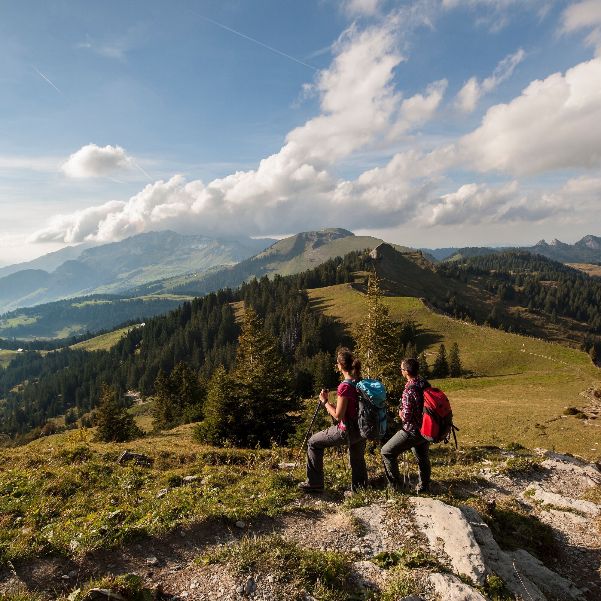
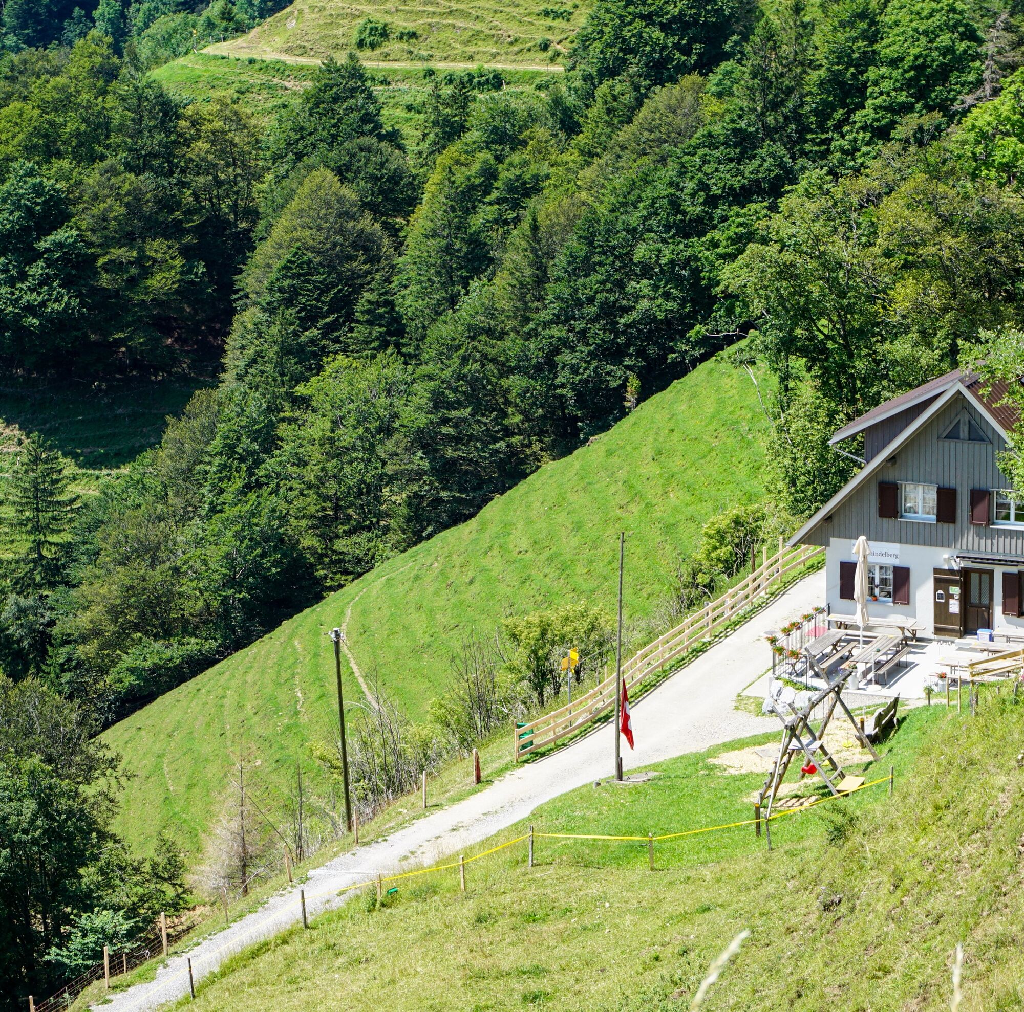
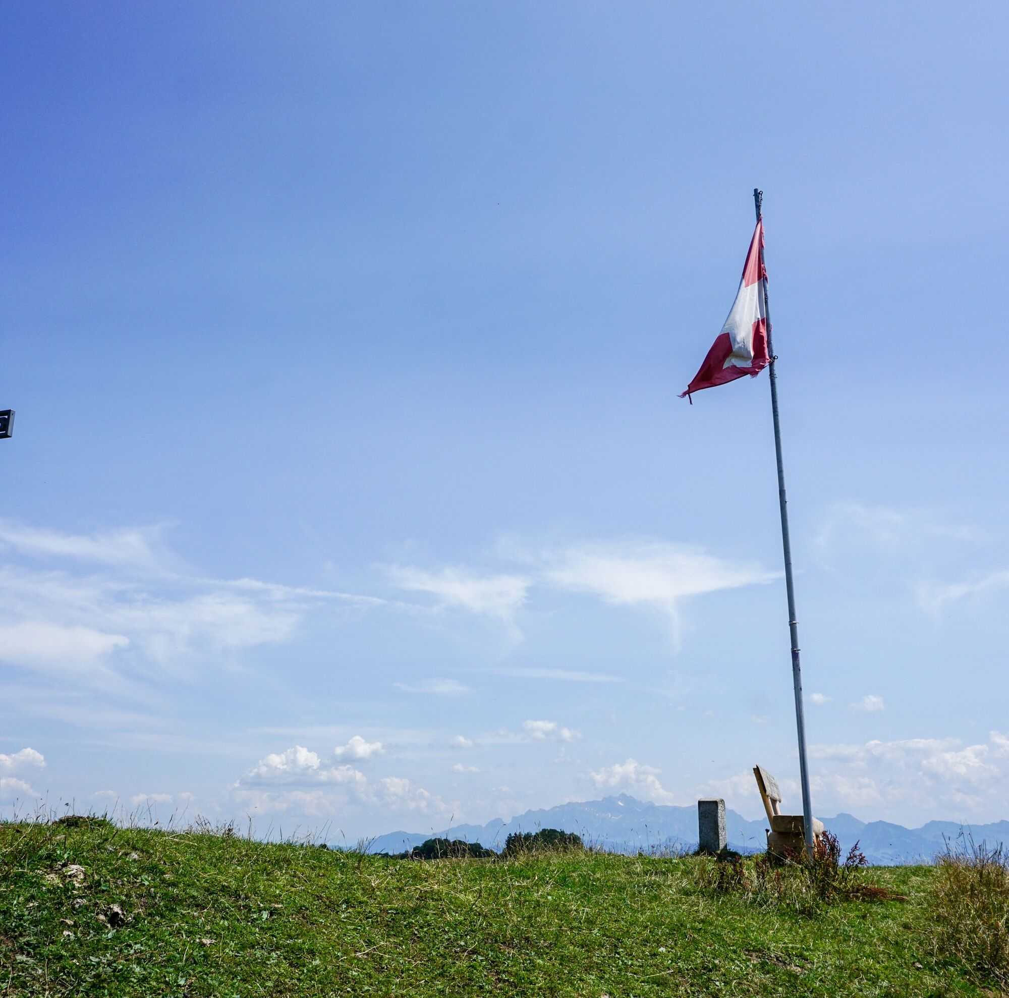
A mountain summit after breakfast – nowhere else is this as easy as on the fifth day stage of the Toggenburg Ridgeway. Only 49 altitude meters lie between the mountain inn and the peak of the Chrüzegg...
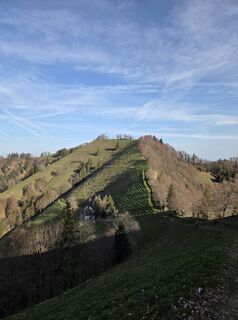
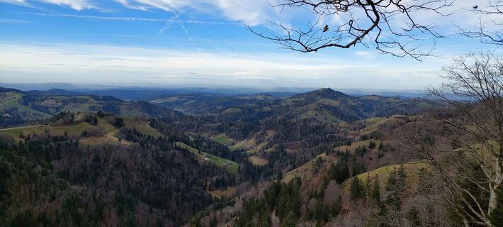
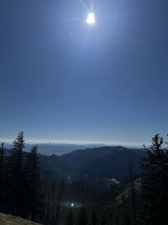
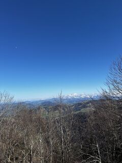
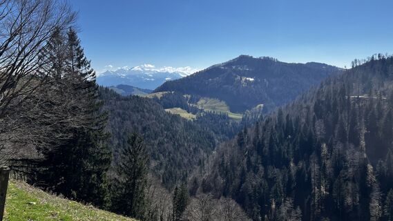
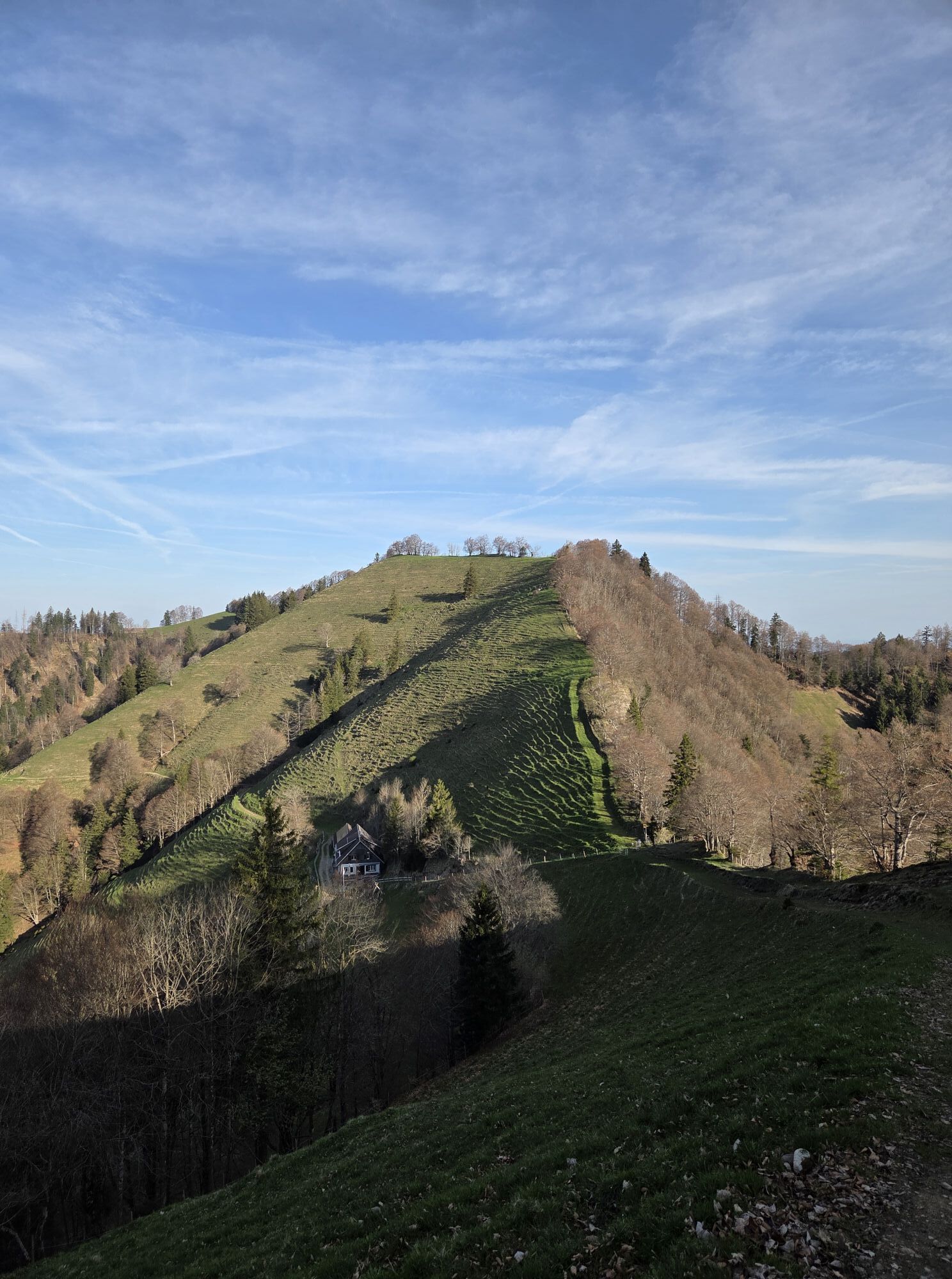
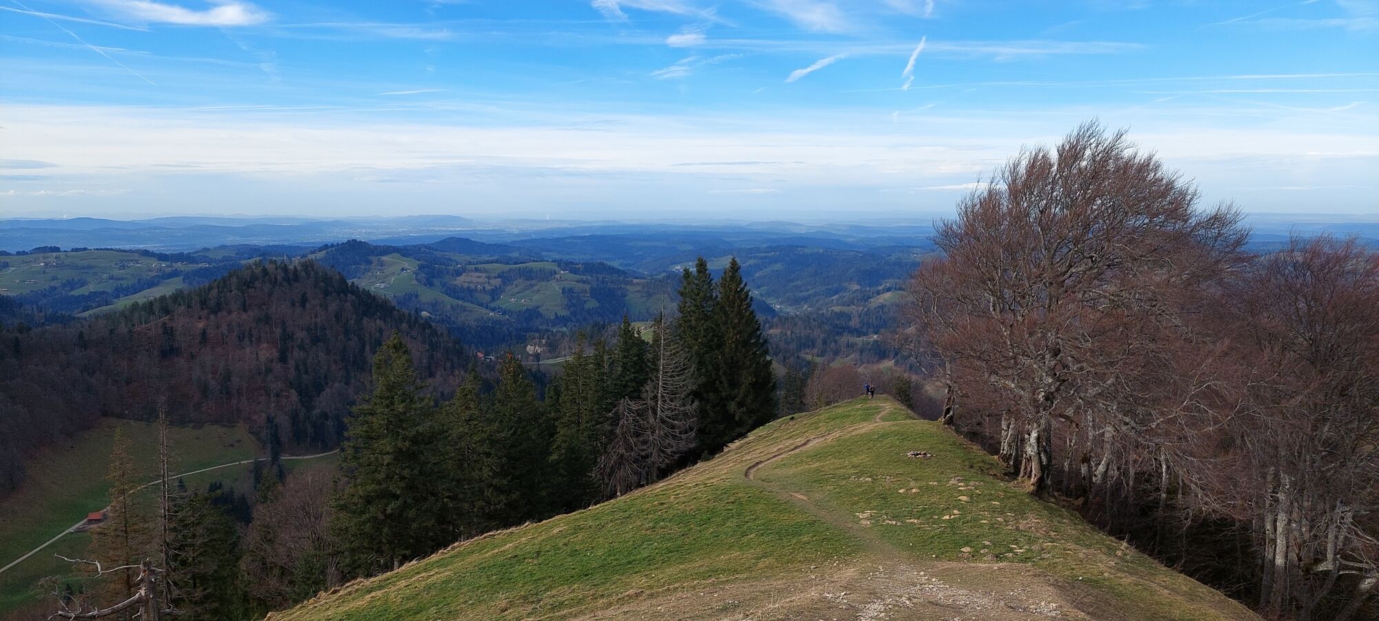
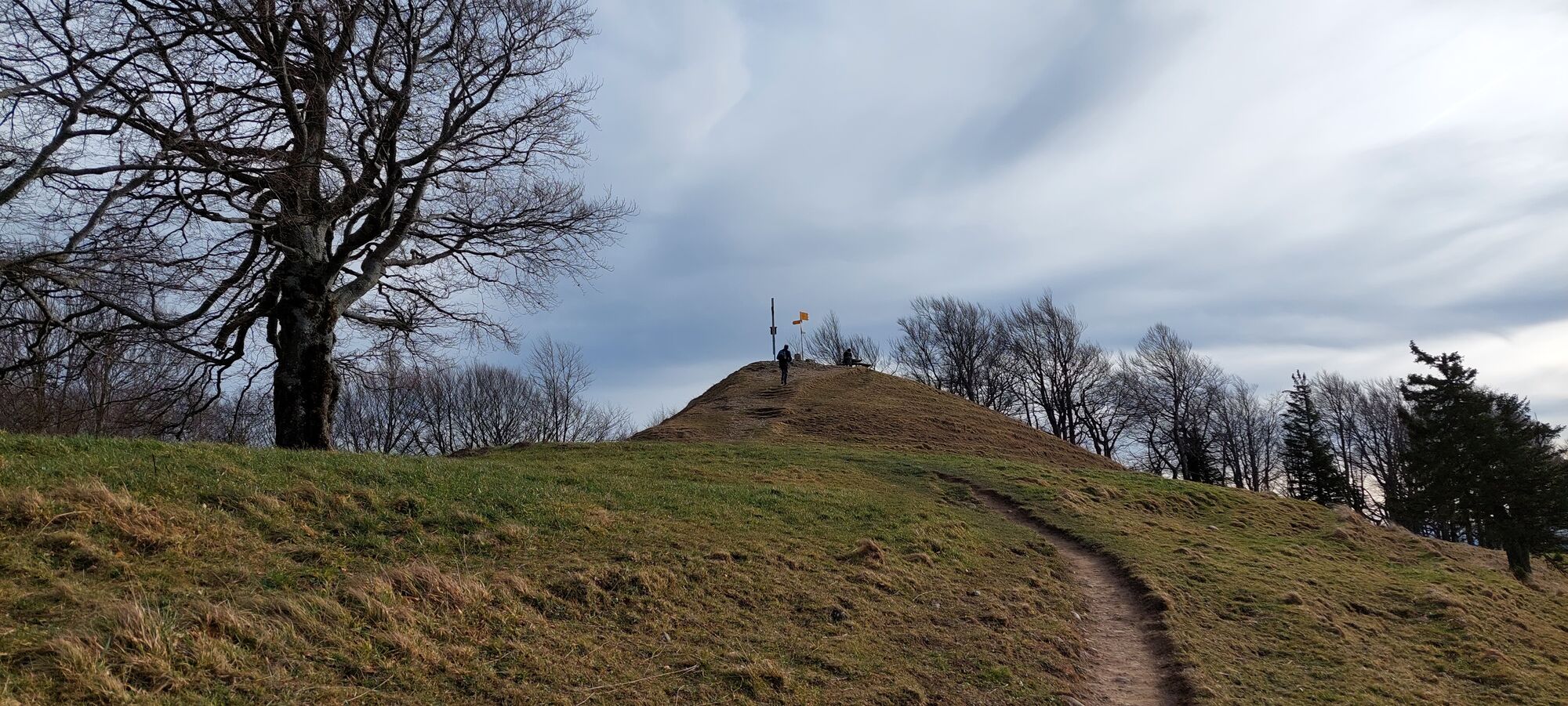
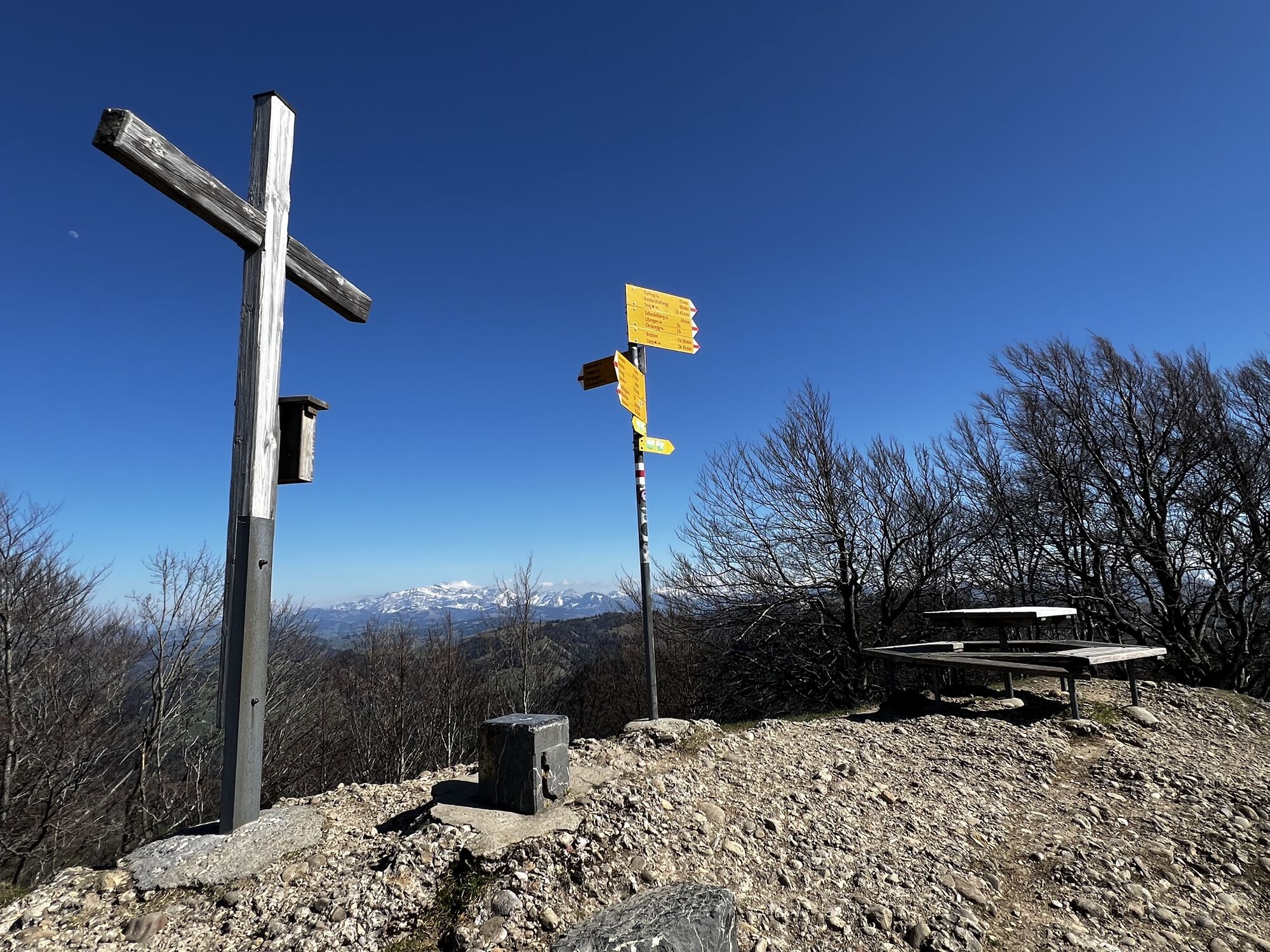
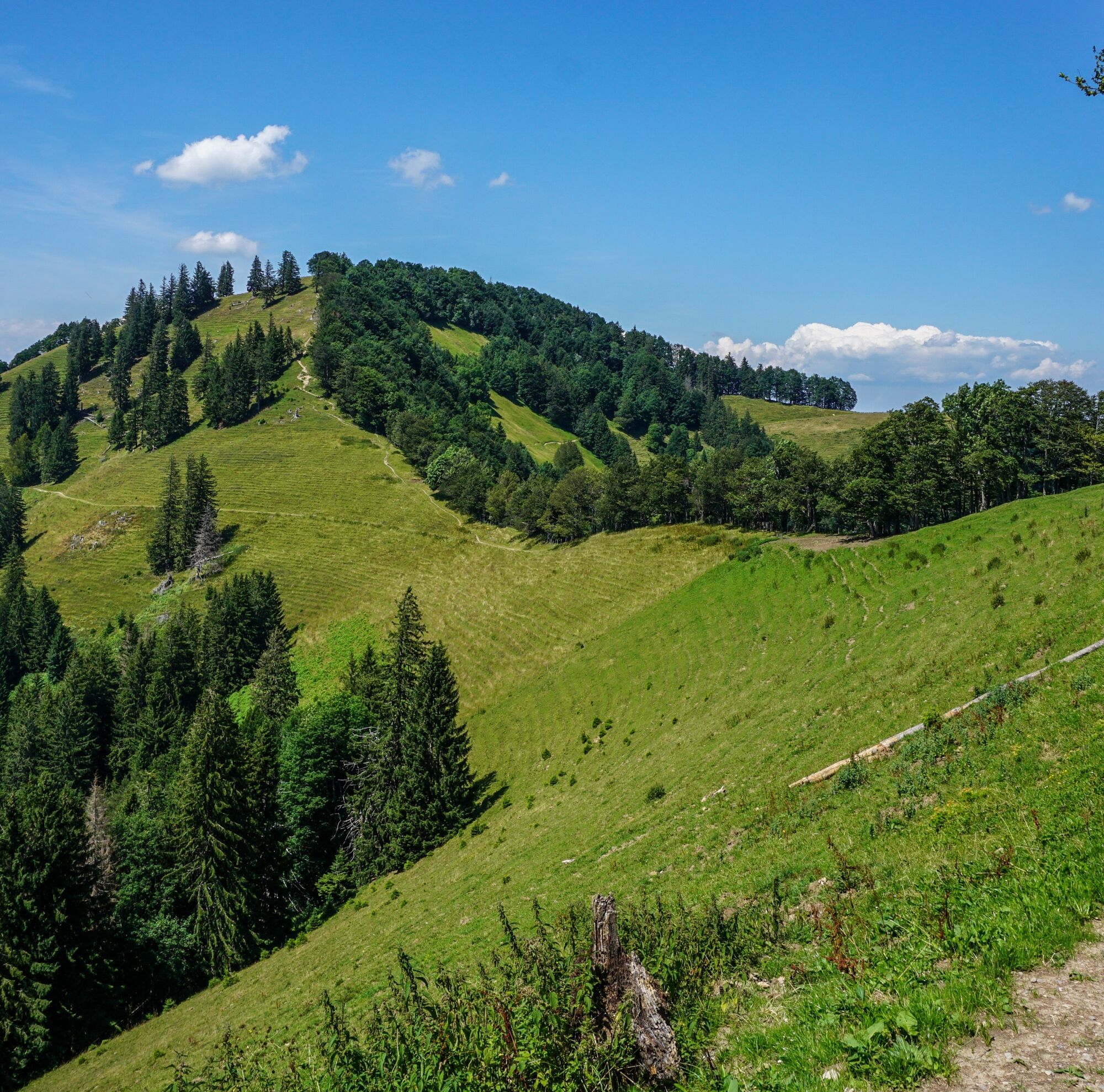
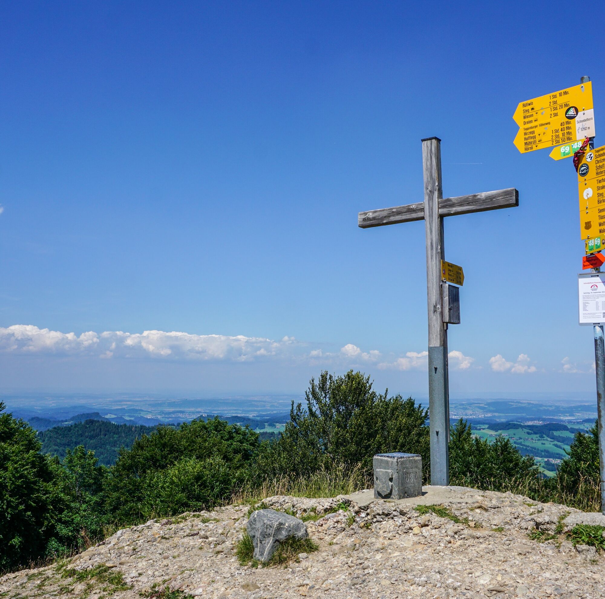
A mountain summit after breakfast – nowhere else is this as easy as on the fifth day stage of the Toggenburg Ridgeway. Only 49 altitude meters lie between the mountain inn and the peak of the Chrüzegg (1313 m). From here you have a clear view of Lake Zurich once again before entering the pleasantly cool forest. However, it doesn’t take long before the next summit cross follows. One of stature: it adorns the Schnebelhorn – with 1291 meters the highest Zurich mountain and therefore one of the most popular excursion destinations in the region, which can be climbed both from the Töss valley and the Thur valley. However, the people of Zurich have to share the summit with the people of St. Gallen. The latter can be generous in this matter – the highest mountain in the canton is almost 2000 meters higher: the Ringelspitz with 3247 meters. But this is shared with the Bündner. The highest peak entirely on St. Gallen soil: Graue Hörner with 2844 meters. Such and other thoughts one can ponder well on this stage.
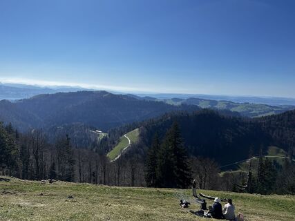
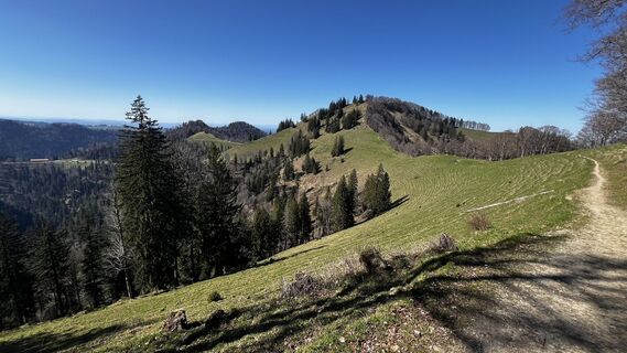
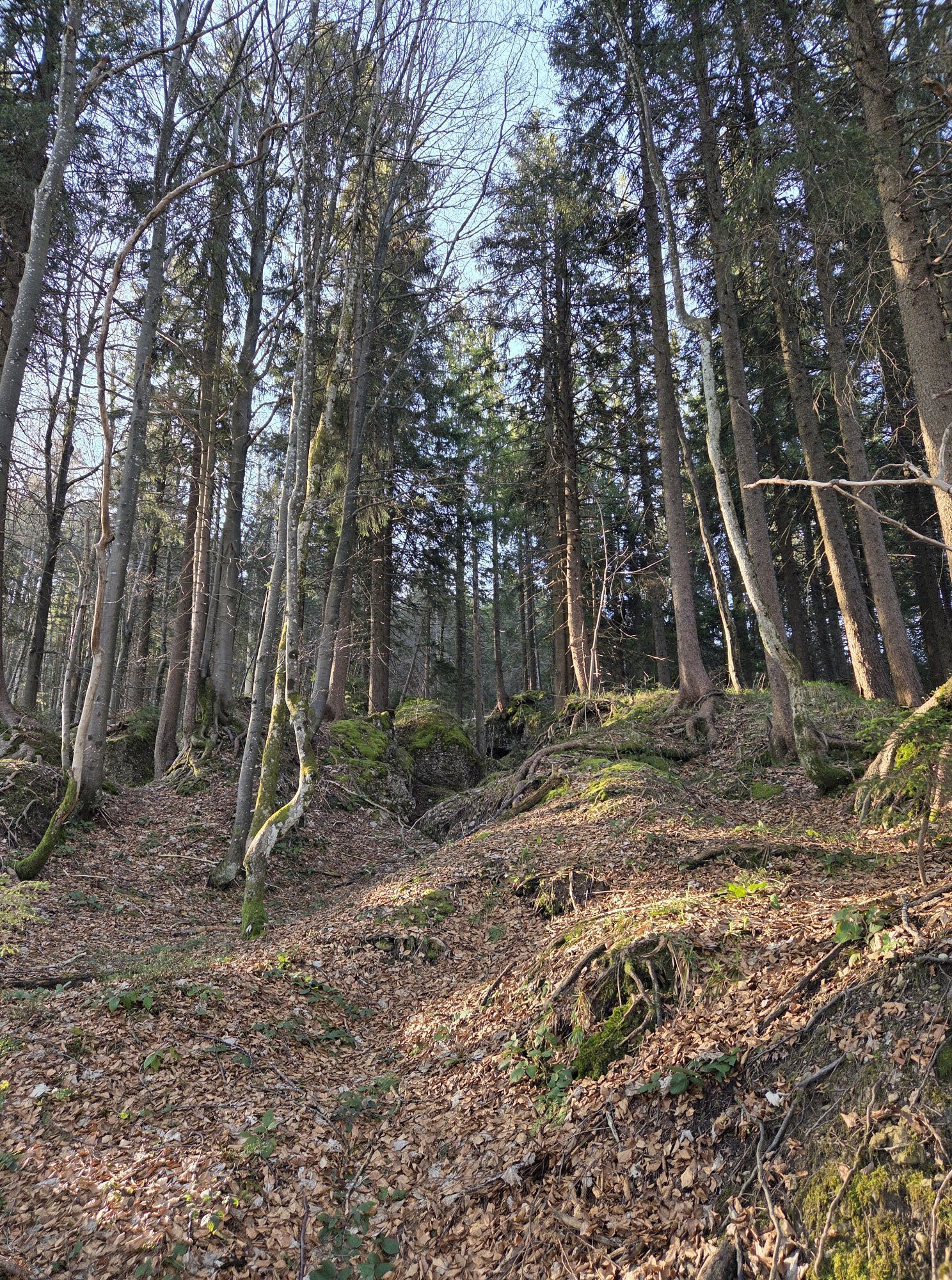
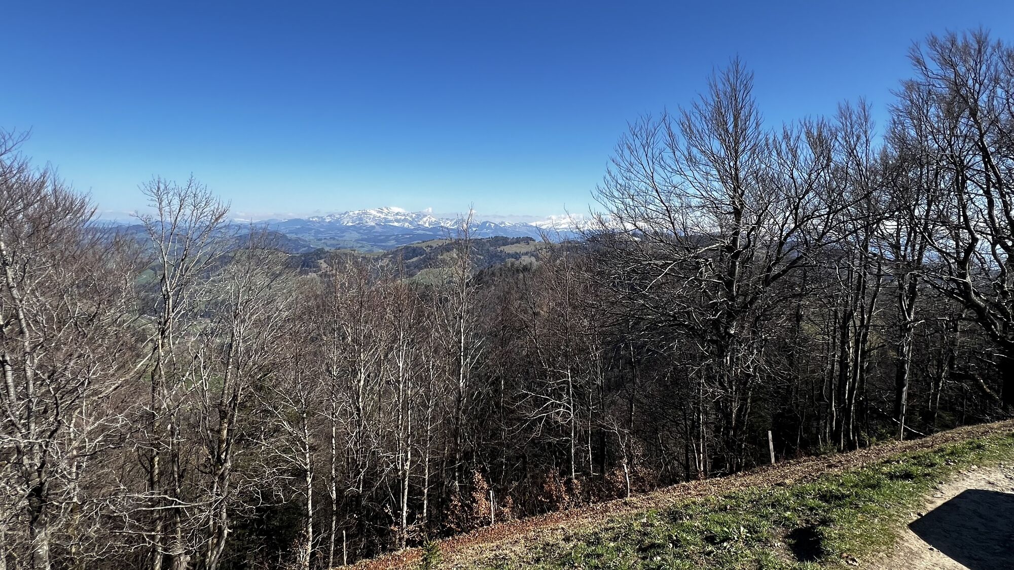
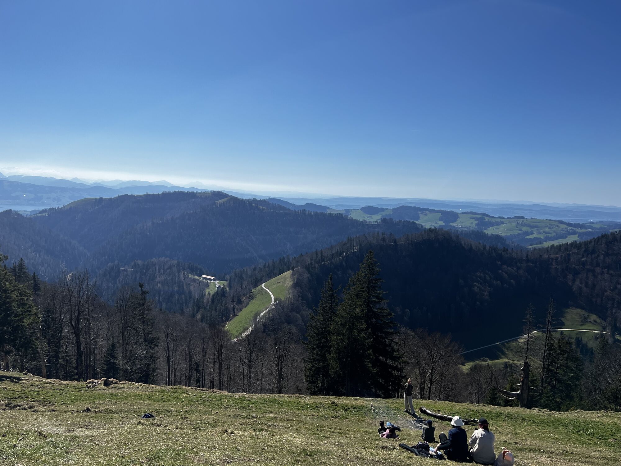
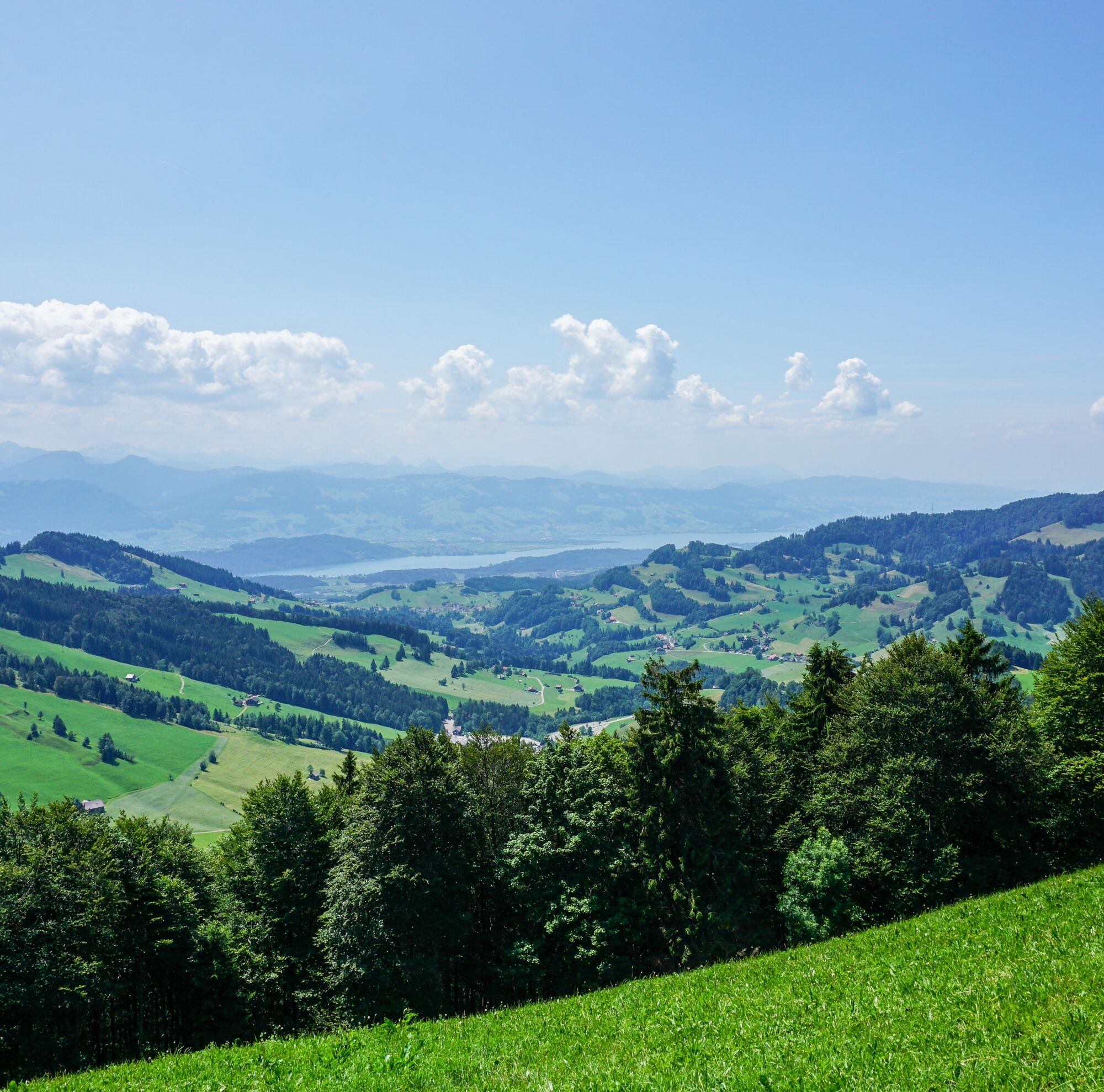
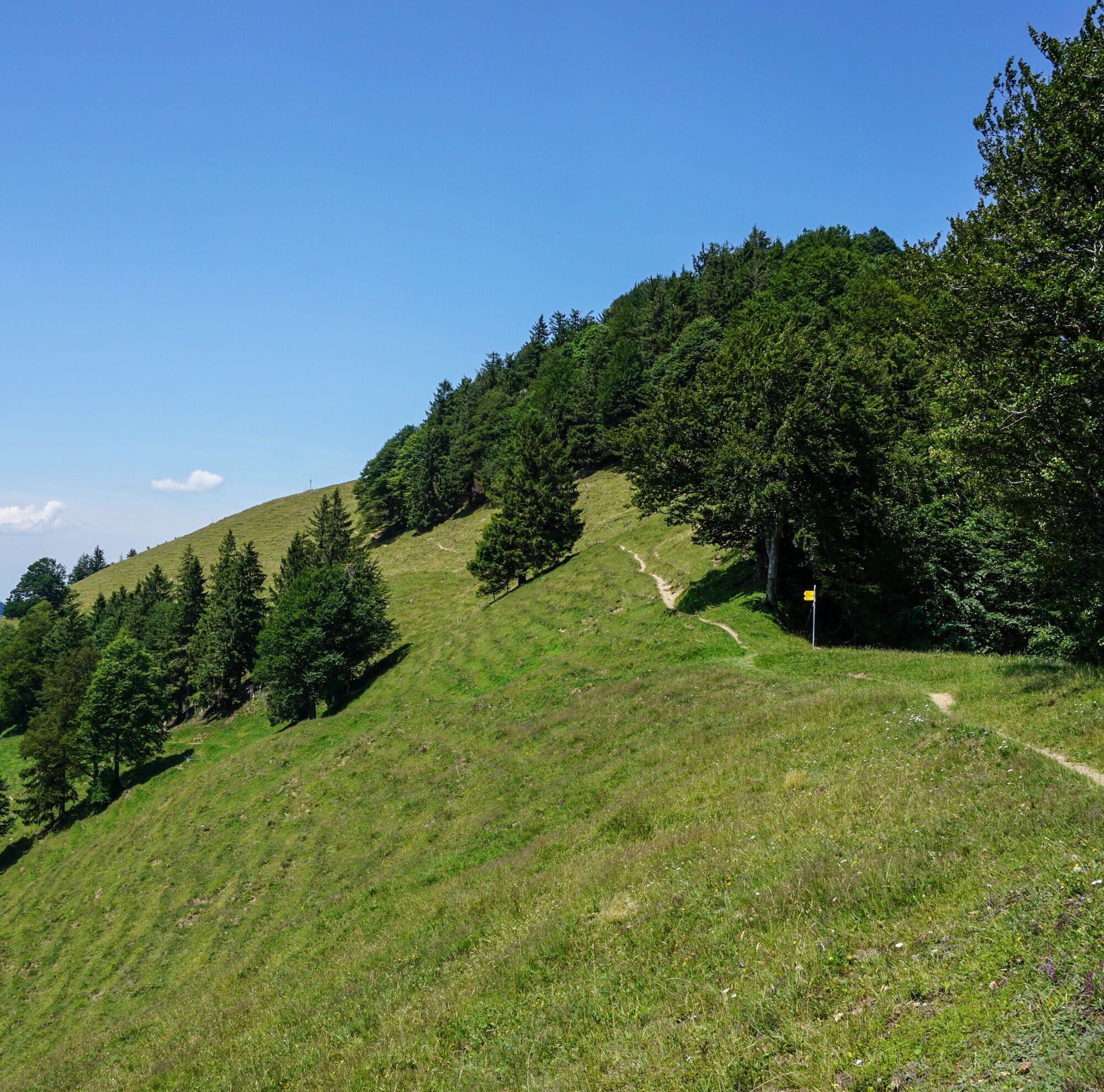
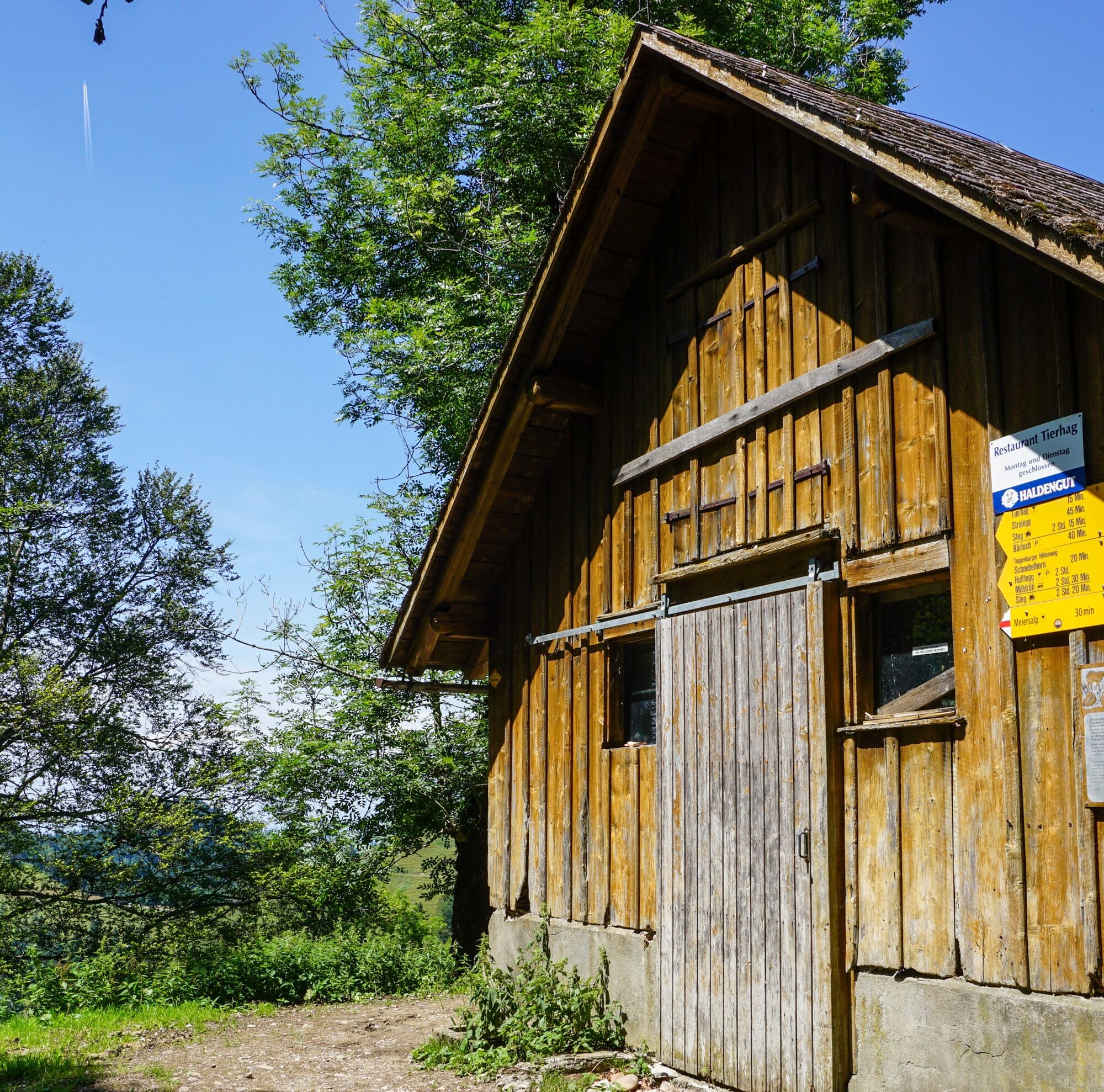
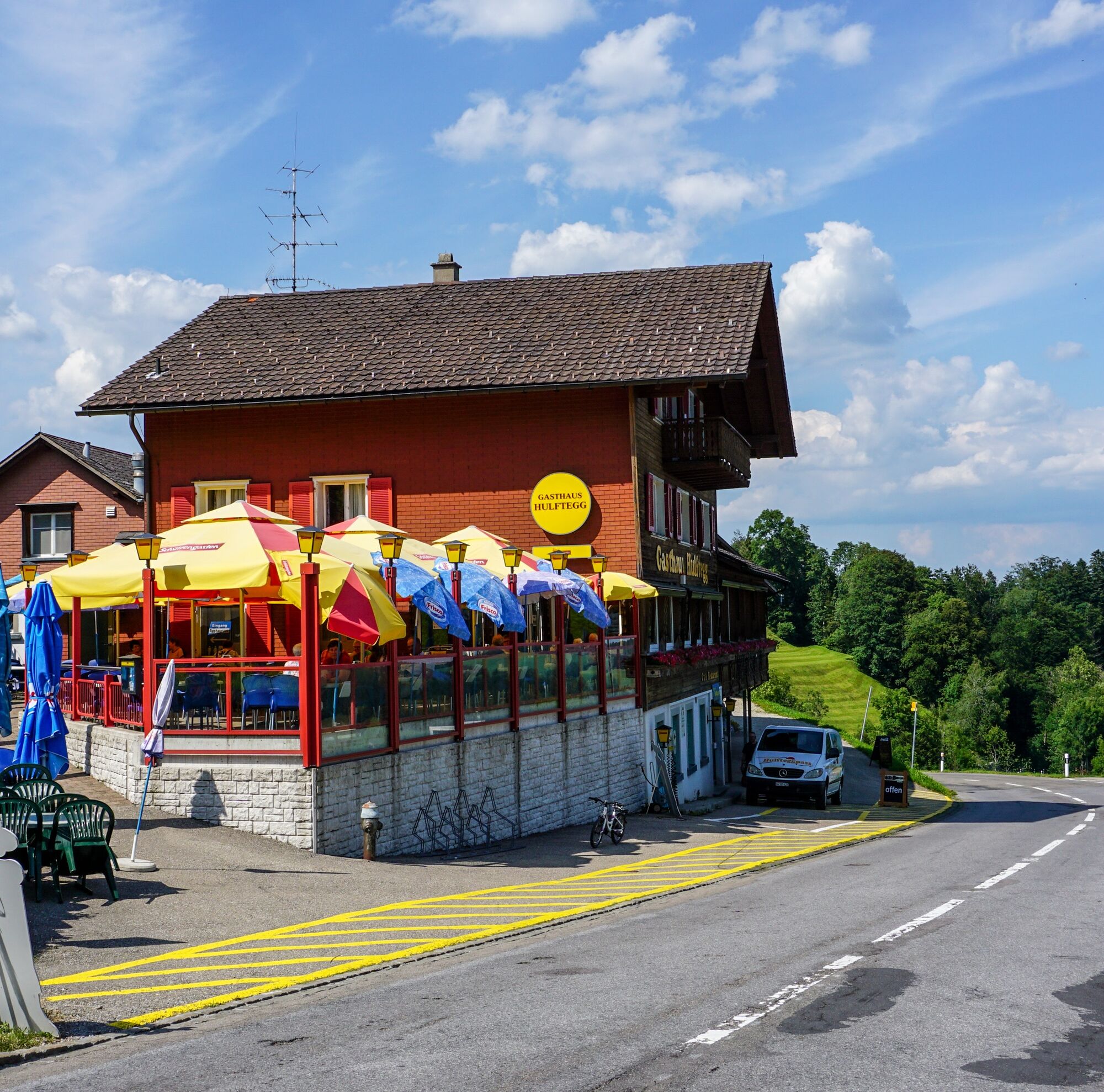
On the approximately five-kilometer-long ridge between Tweralpspitz and Schnebelhorn, you repeatedly immerse yourself in fir forests, through which the undemanding hiking trail winds. Overall, you cover comparatively few altitude meters on this day stage and can – whenever the path leads to a small summit or knoll – take your time to enjoy the view. Meditative hiking – that works wonderfully on the route to the day's destination at Hulftegg (953 m).
See also
Toggenburg Tourism
Hauptstrasse 104
CH-9658 Wildhaus
Tel: +41 (0)71 999 99 11
Email: info@toggenburg.swiss
Internet: www.toggenburg.swiss
Chrüzegg - Habrütispitz - Schindelberg - Schnebelhorn - Hirzegg - Hulftegg
Book the Toggenburg Ridgeway online: www.toggenburg.swiss/ridgeways
Oblíbené prohlídky v okolí
-
3.2
Winter hike at the Hulftegg
světloZimní turistika 7.39 km -
4.2
Schnebelhorn Rundwanderung
středníTuristika 11.9 km -
4.5
Hulftenegg - Hörndli
světloZimní turistika 6.98 km -
4.5
Hike from Ebnat-Kappel to Tanzboden
středníTuristika 14.5 km -
4.7
Hike at Hulftegg
světloTuristika 7.42 km -
4.0
Ski route to Tanzboden
středníLyžařská trasa 6.89 km -
4.3
Bauma - Chlihörnli - Hörnli - Steg
středníTuristika 10.3 km -
4.0
Steg-Schnebelhorn
středníTuristika 17.9 km -
2.6
Snowshoe hike to Tanzboden
středníSněžnice 11.6 km -
4.5
Hike from Ganterschwil to Bruedertöbeli
světloTuristika 7.15 km
Pěší turistika a stopování


Nenechte si ujít nabídky a inspiraci pro vaši příští dovolenou
Vaše e-mailová adresa byl přidán do poštovního seznamu.