


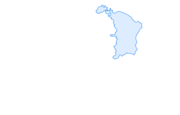

Neckertal Höhenweg

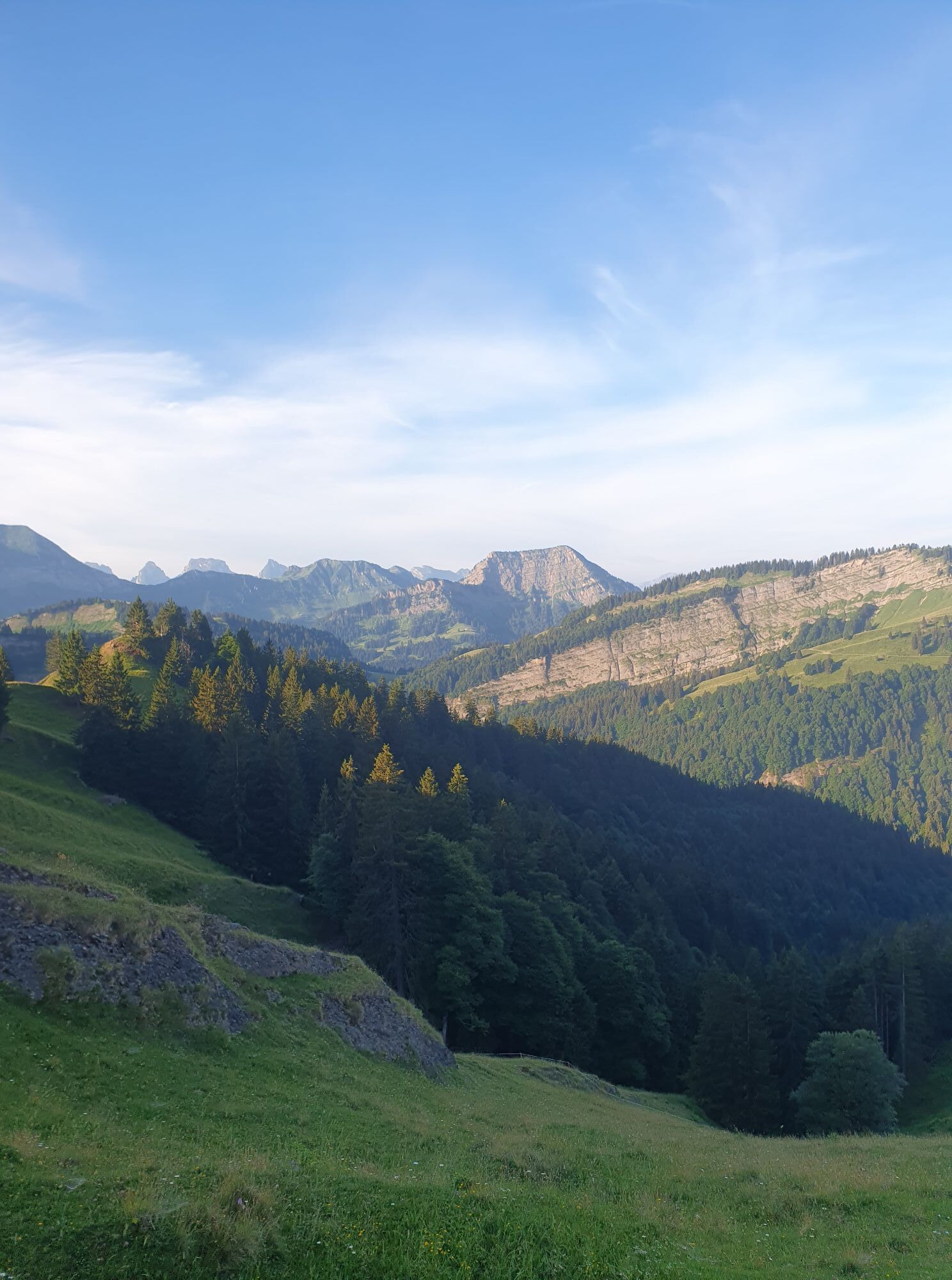
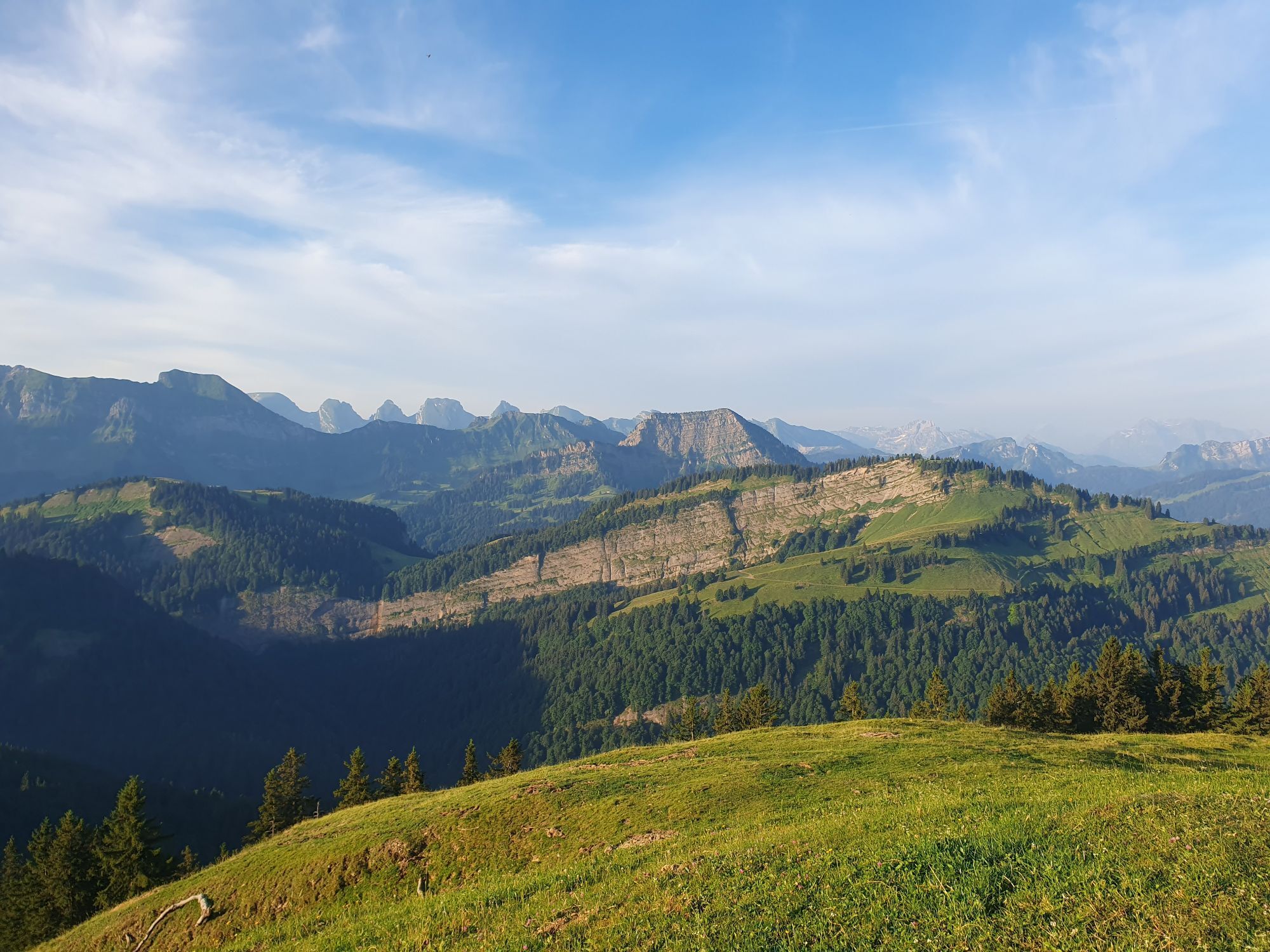
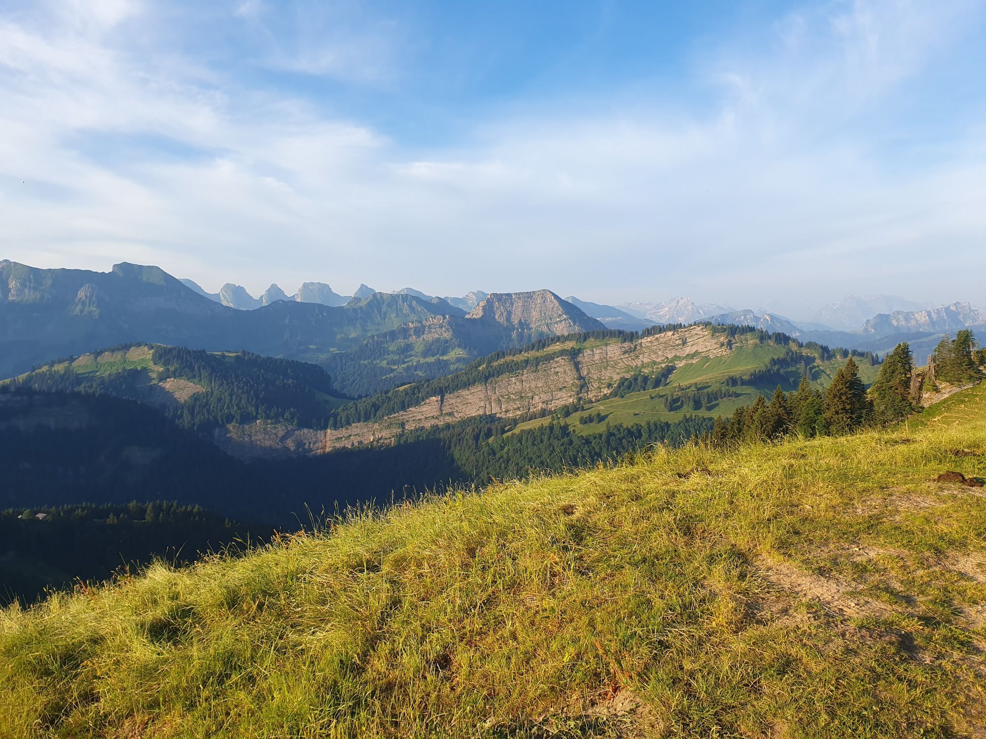
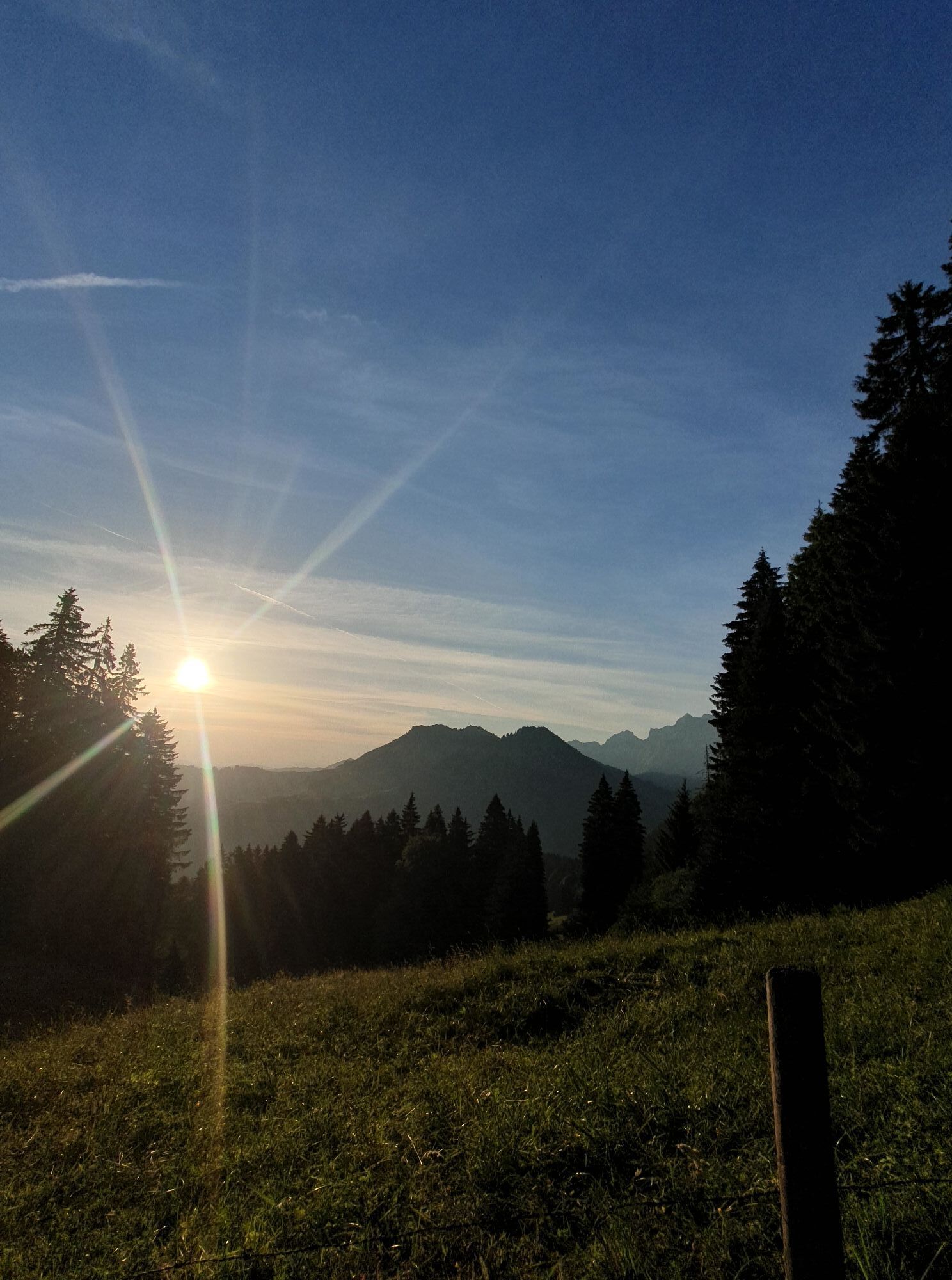
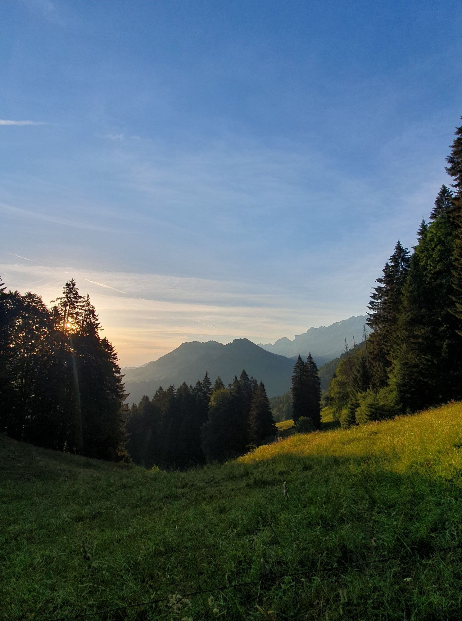
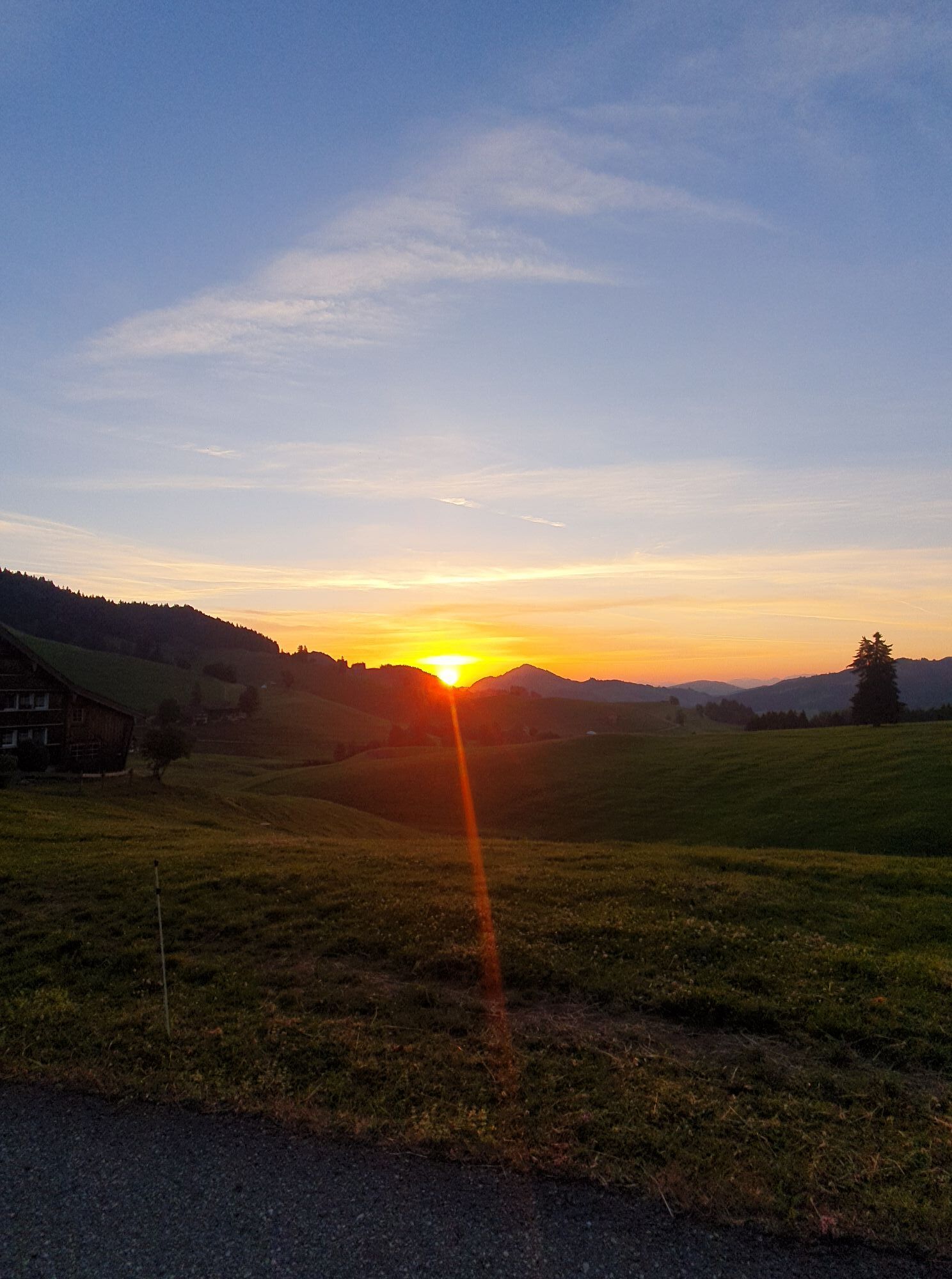
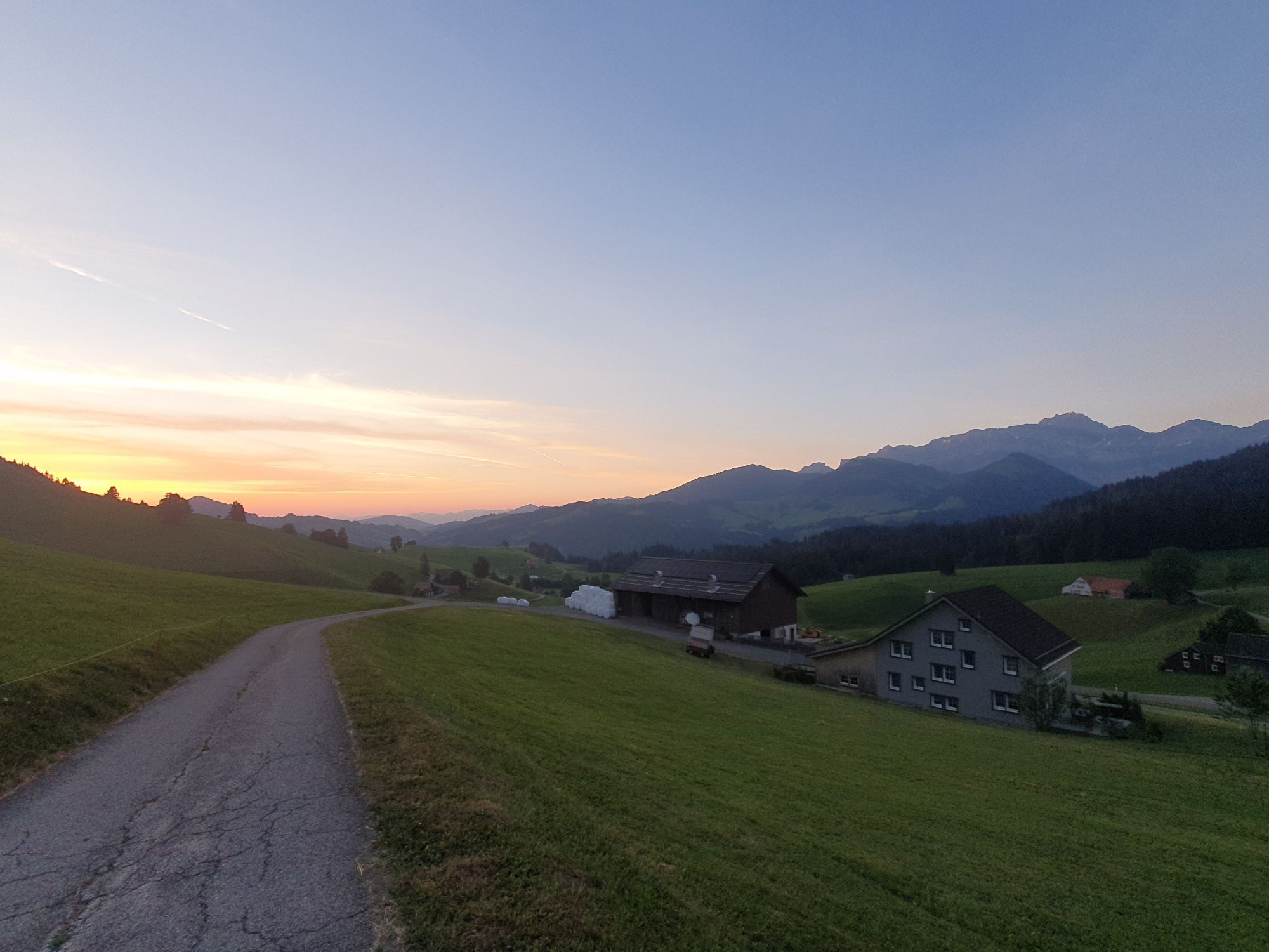
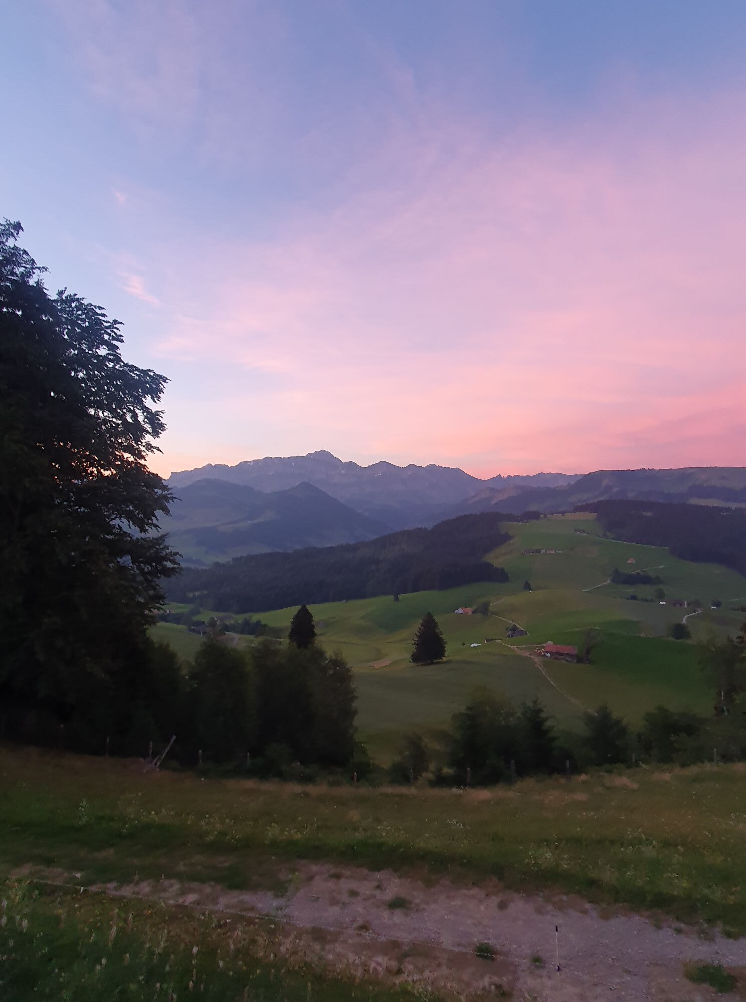
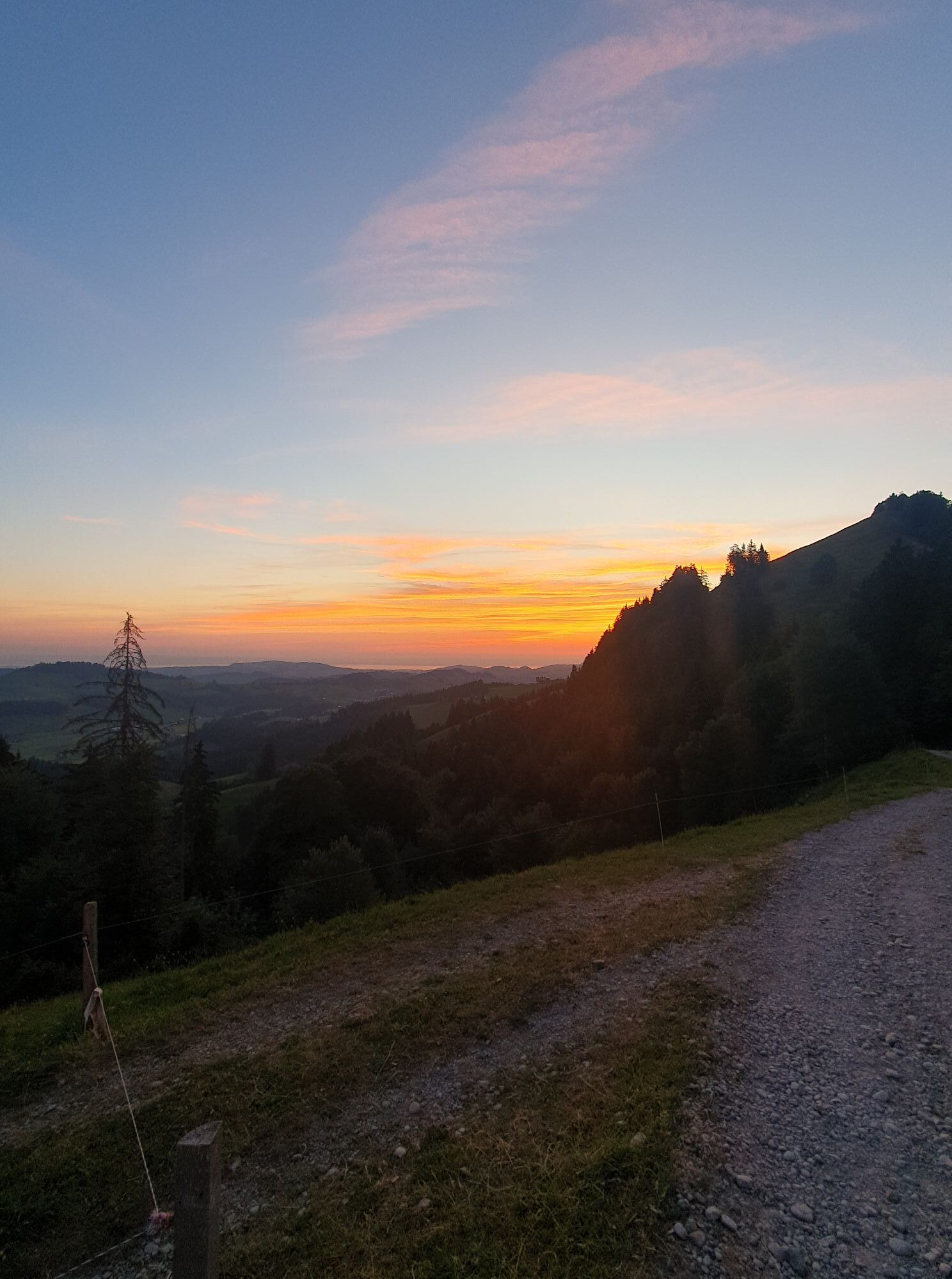
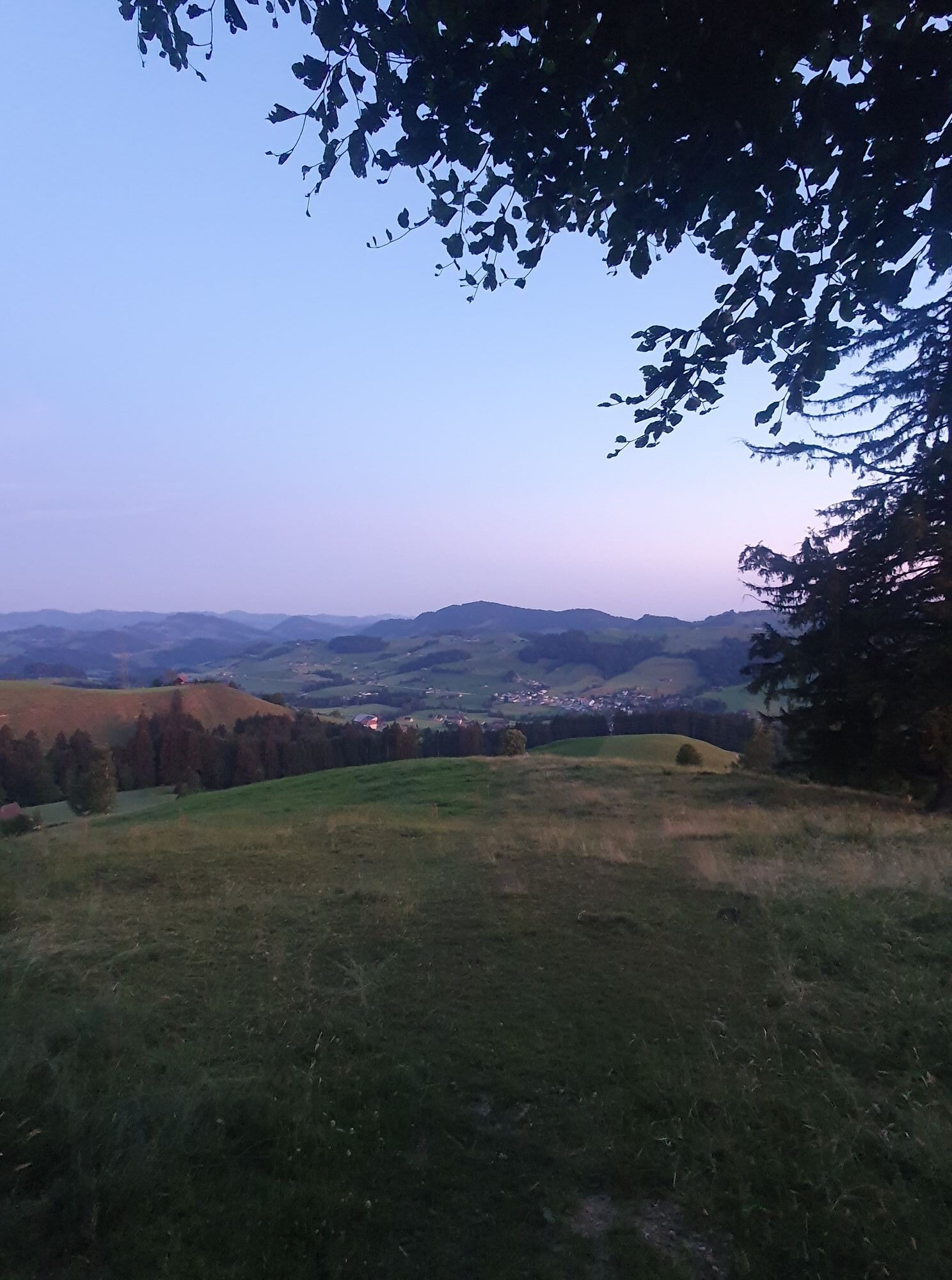
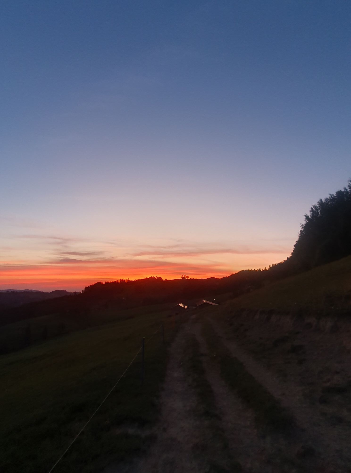
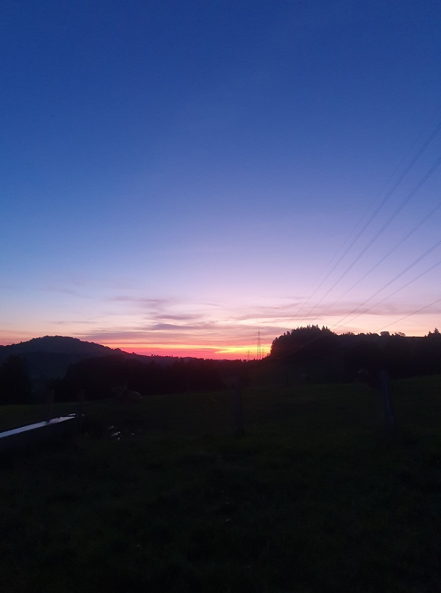
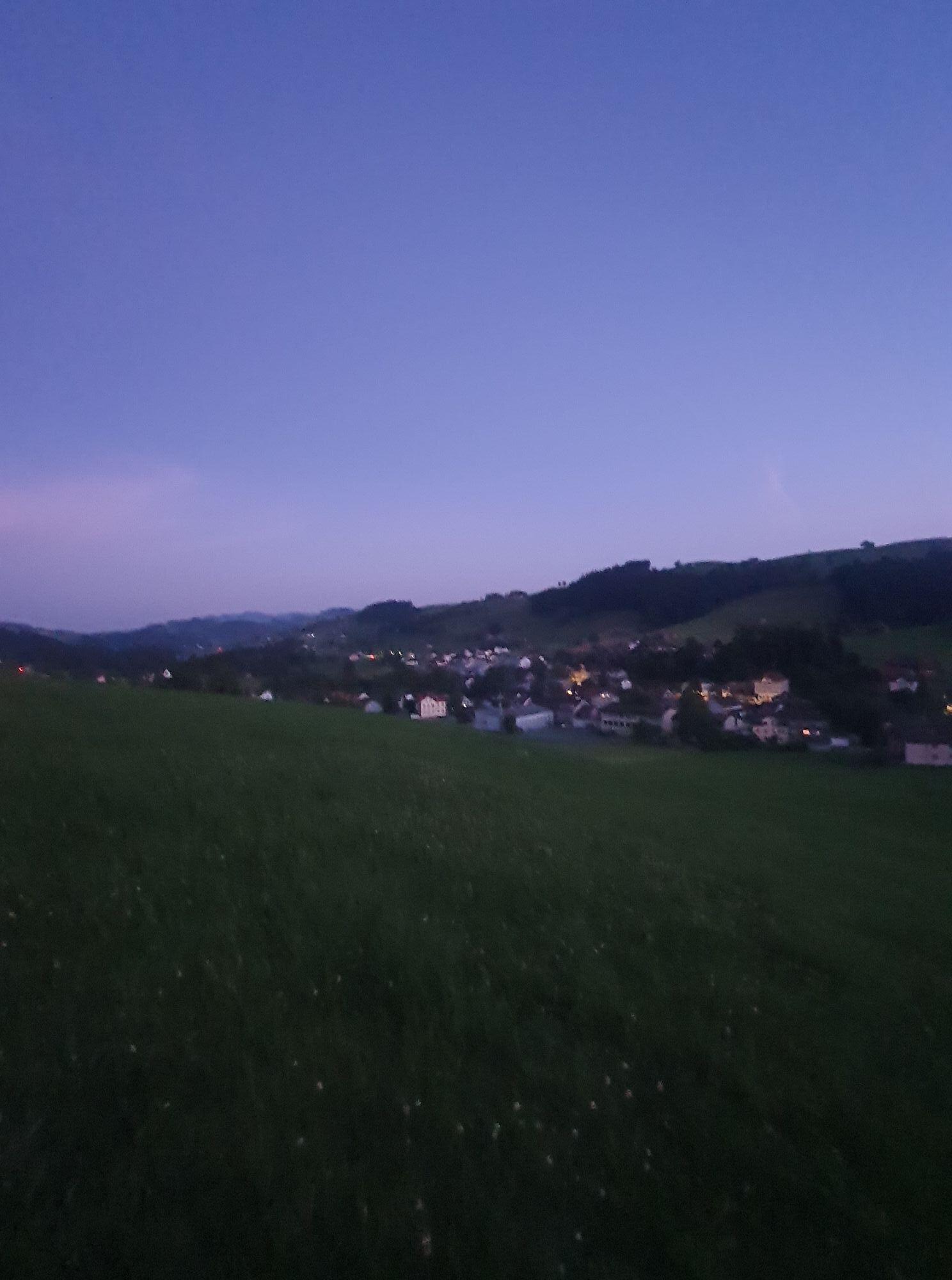
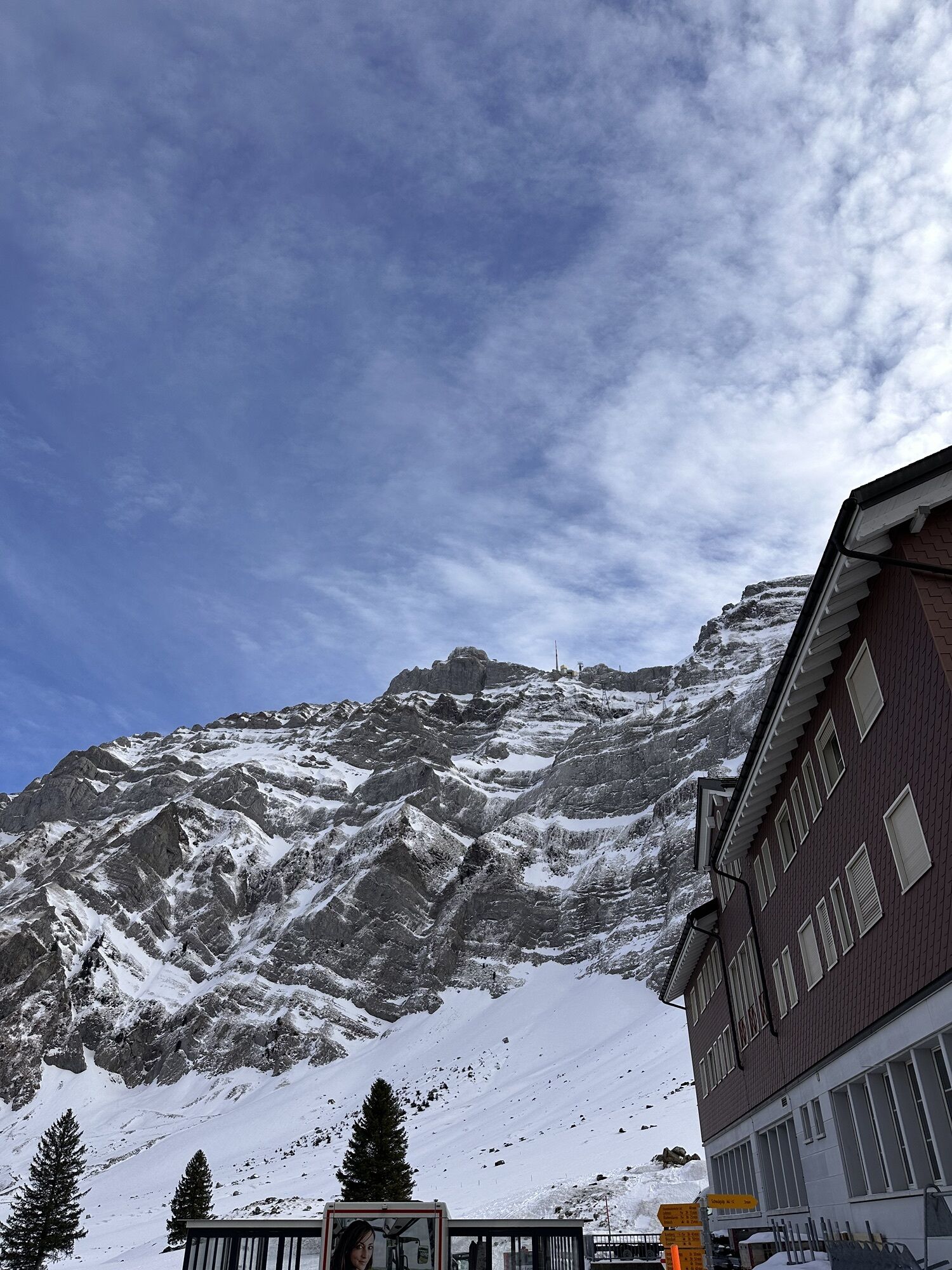
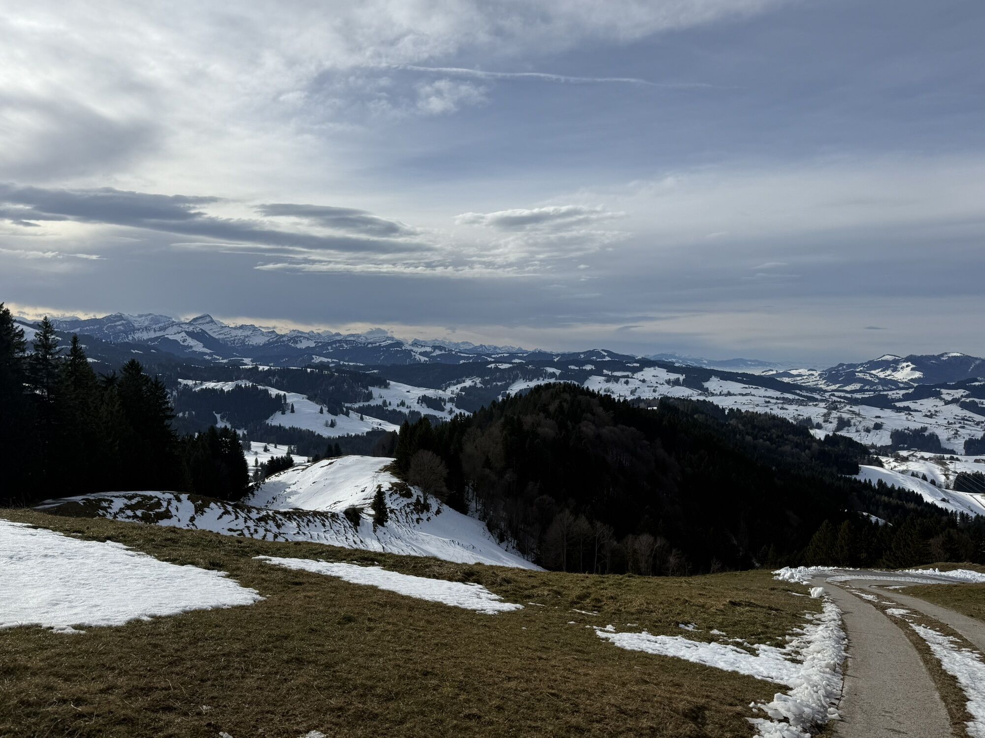
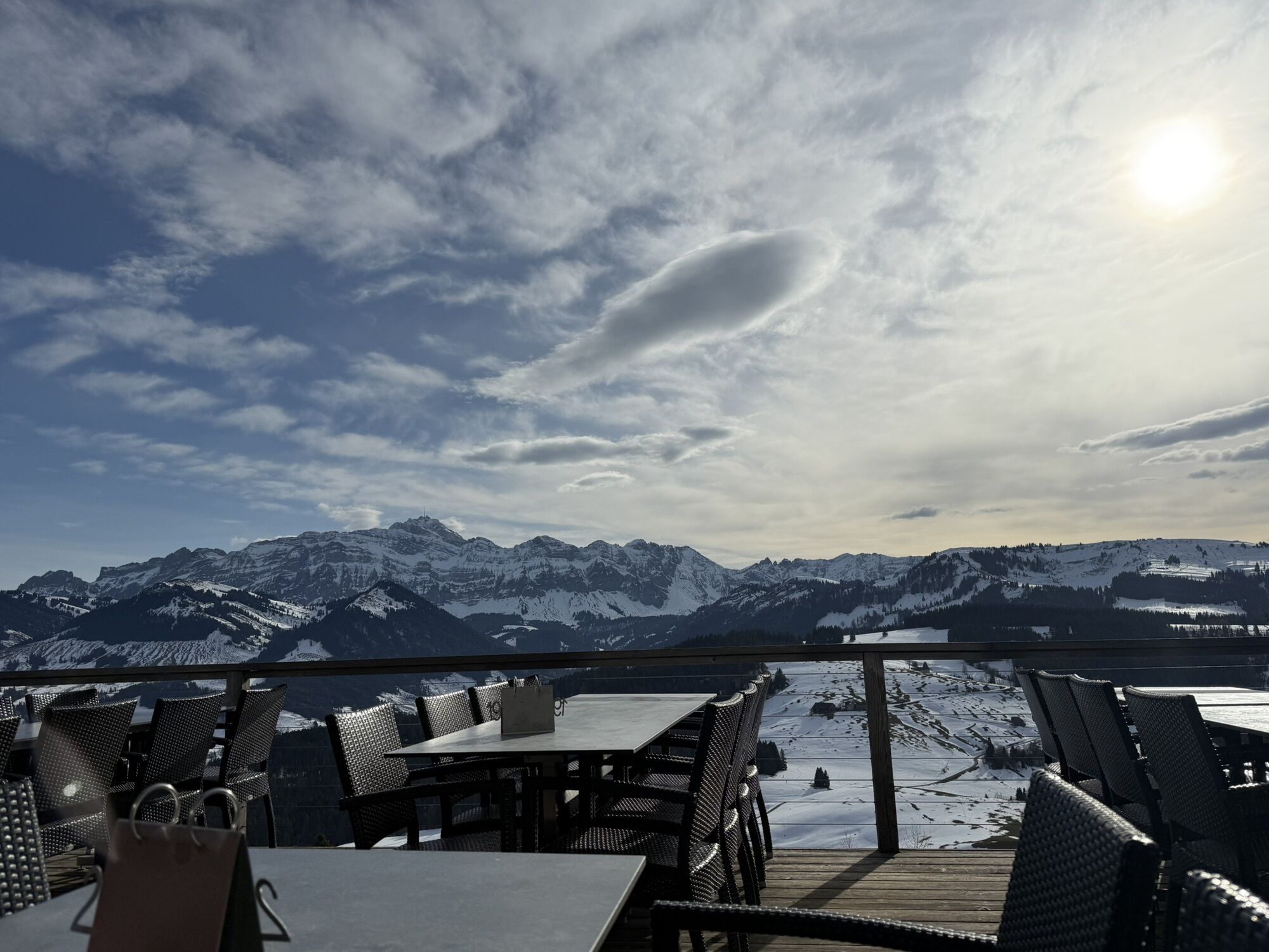
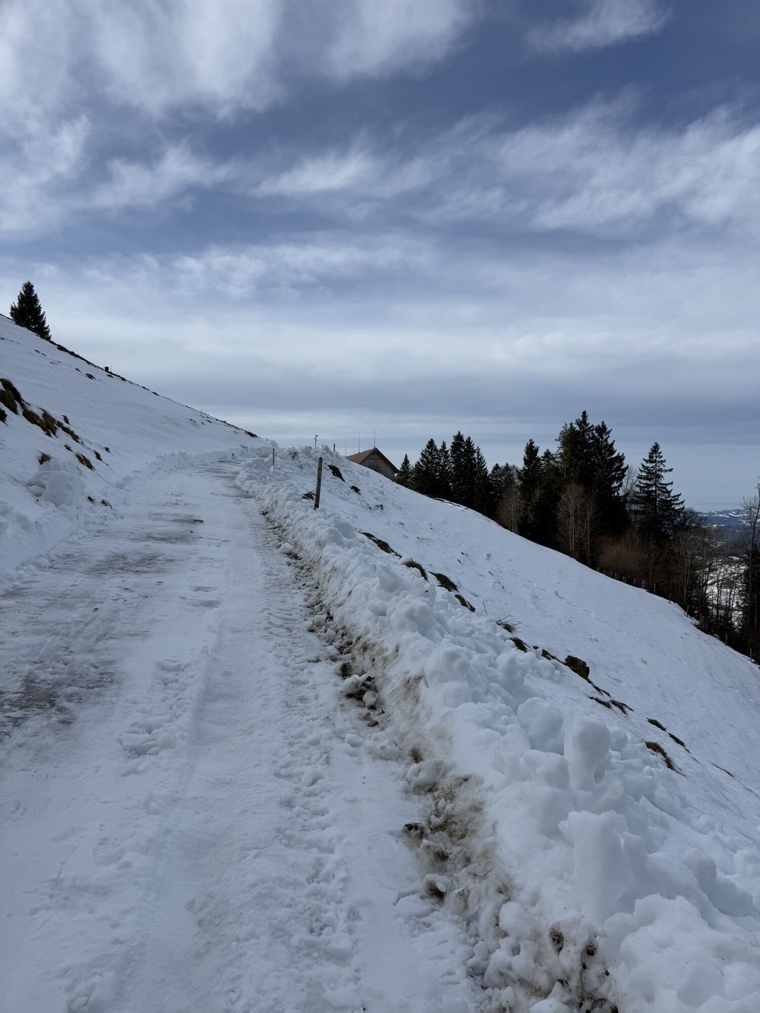

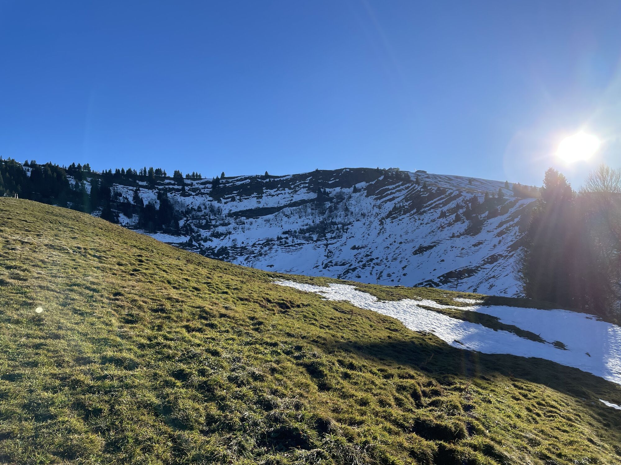
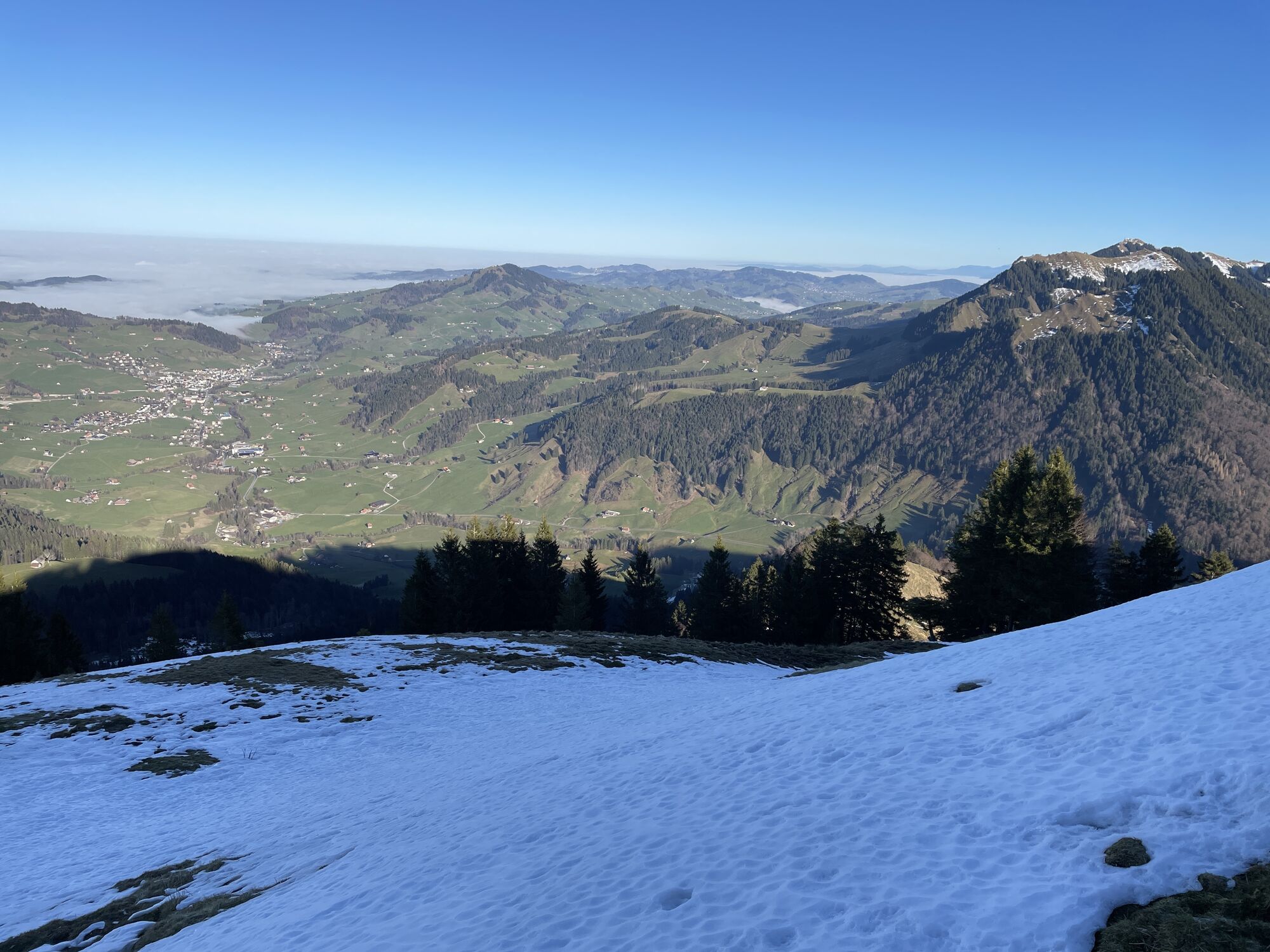
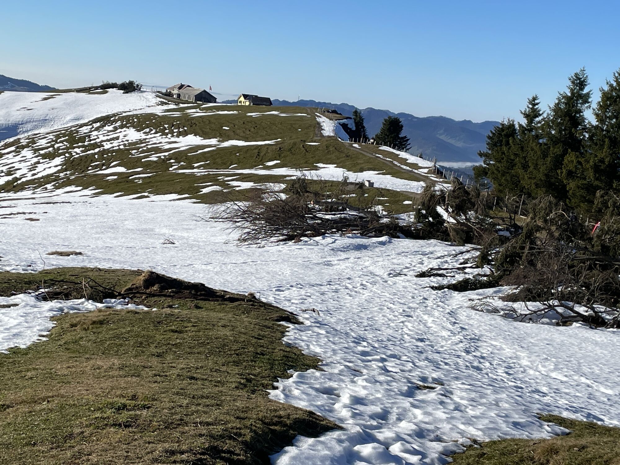
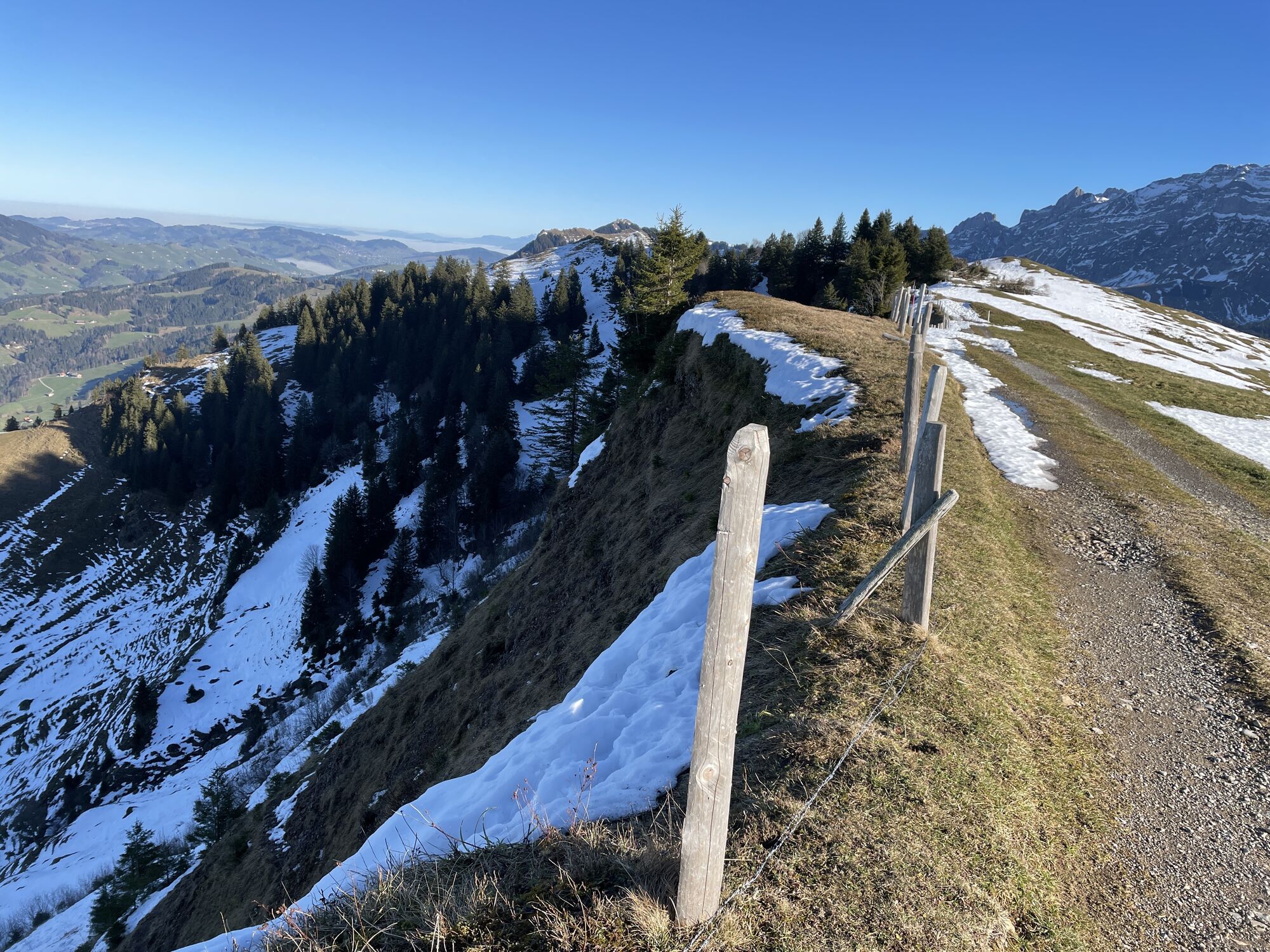
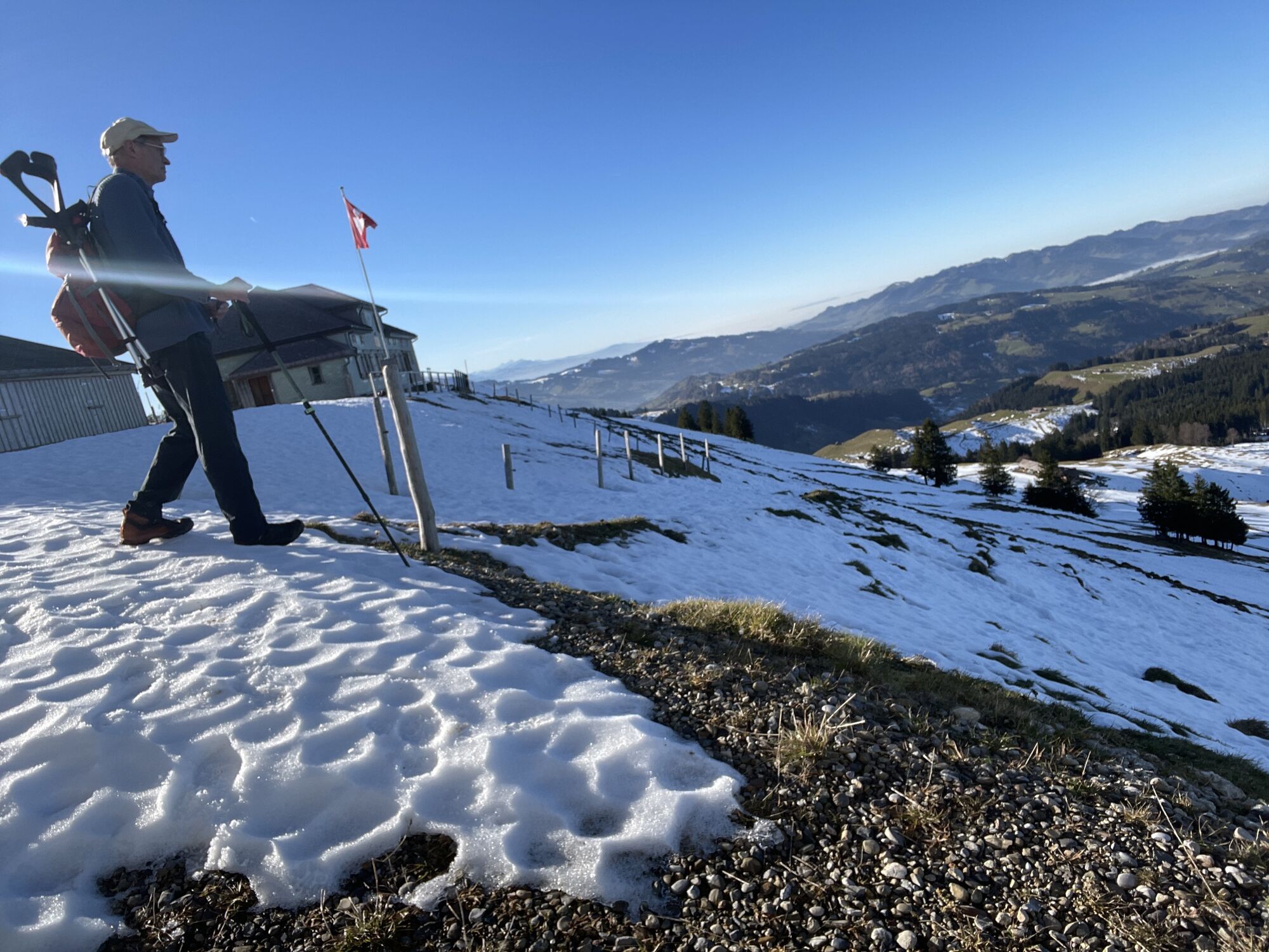
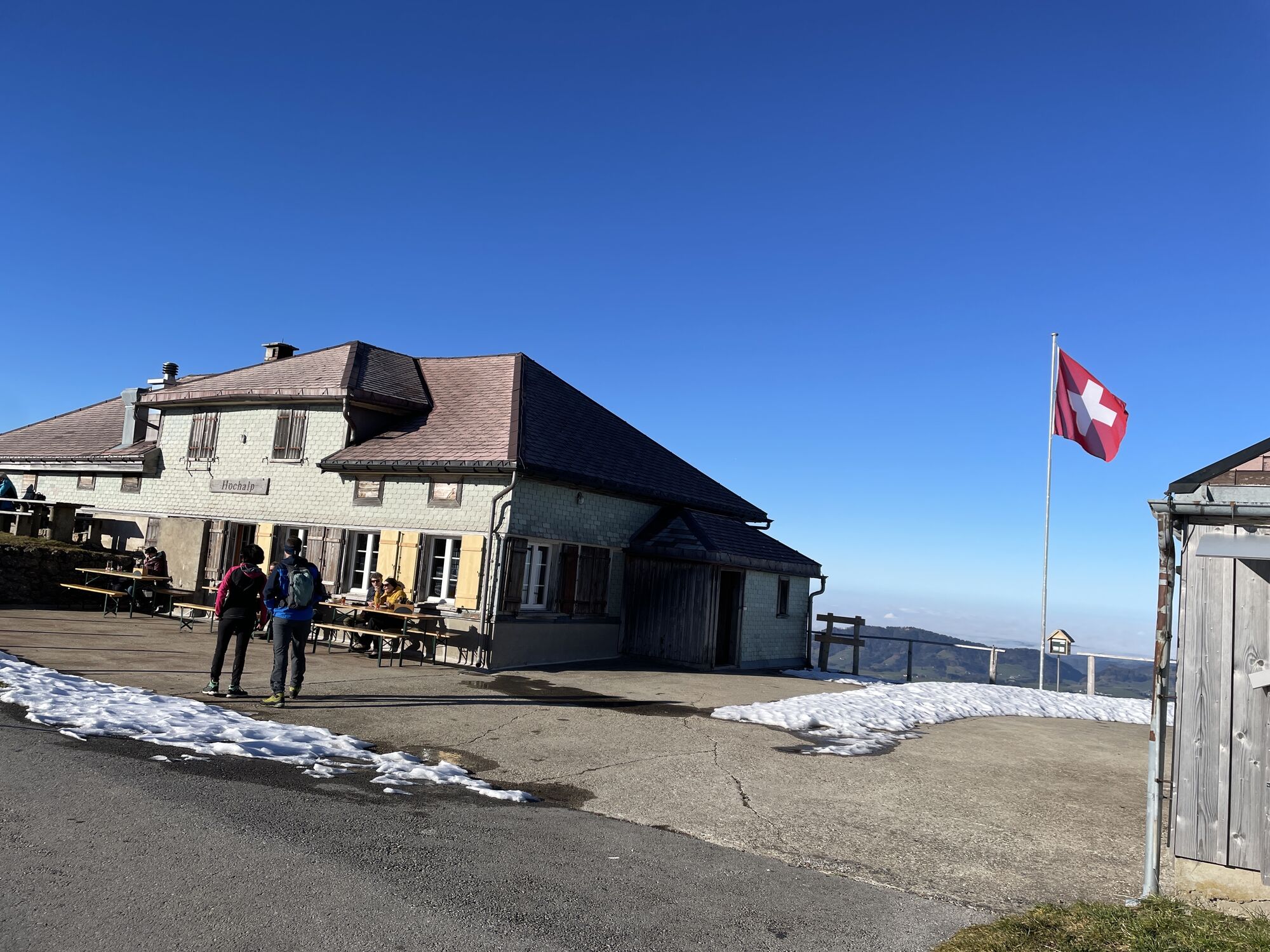
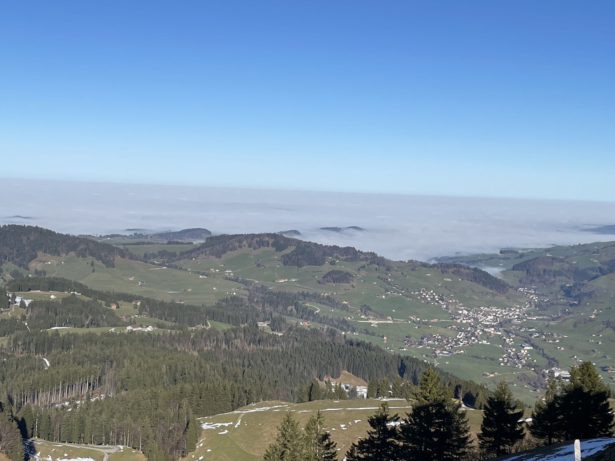
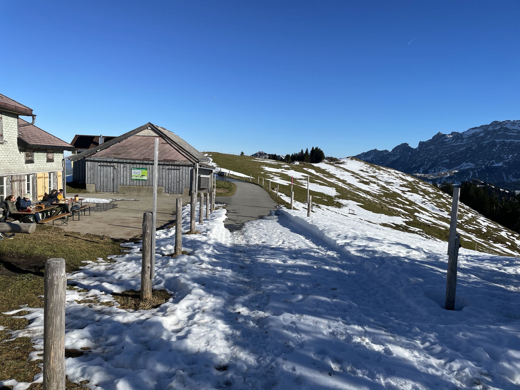
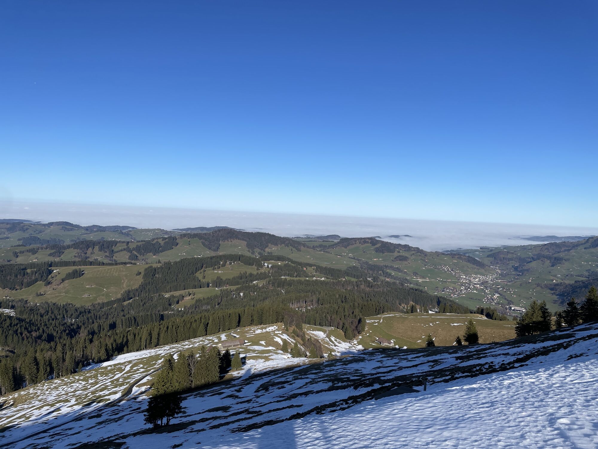
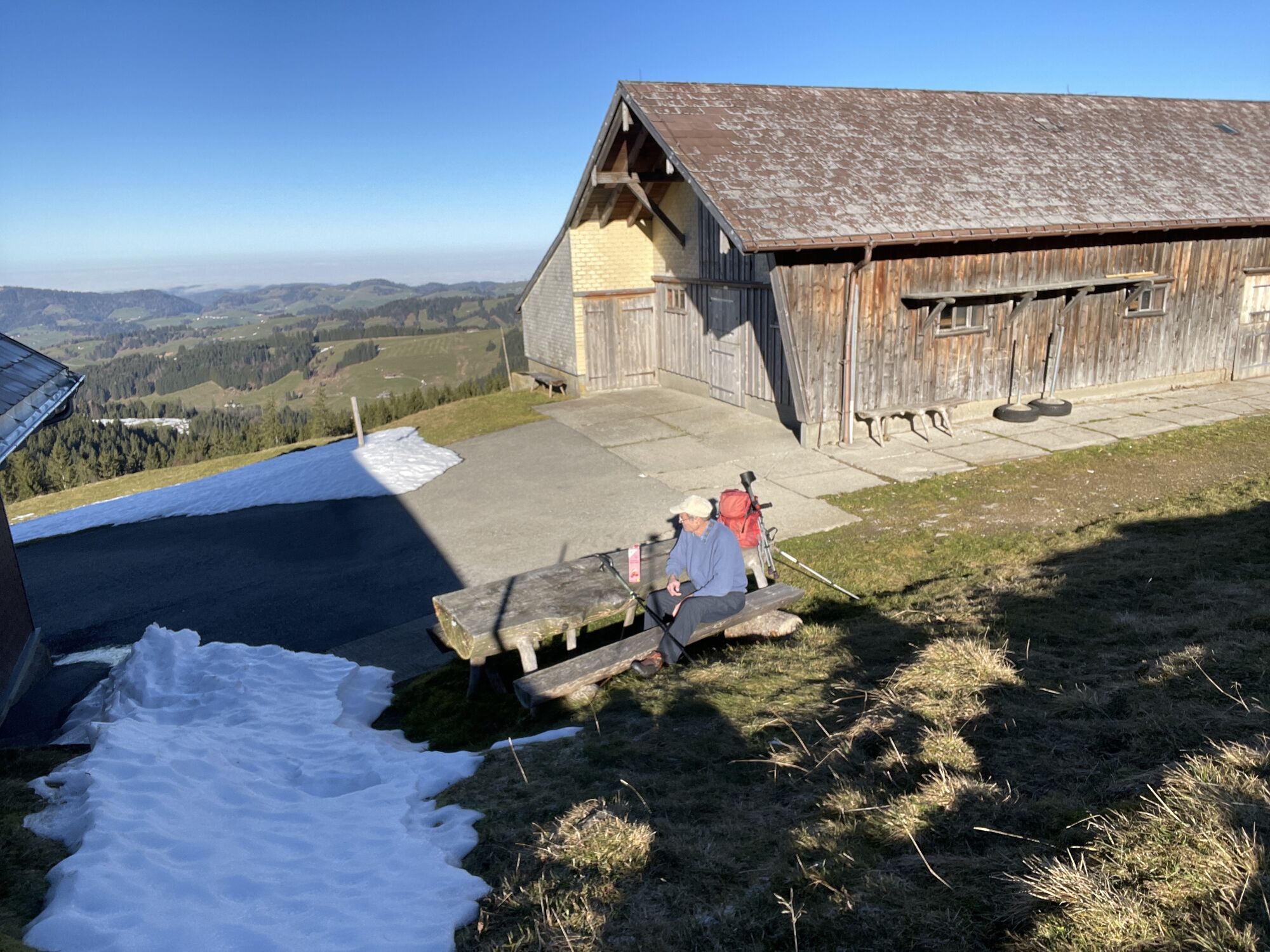
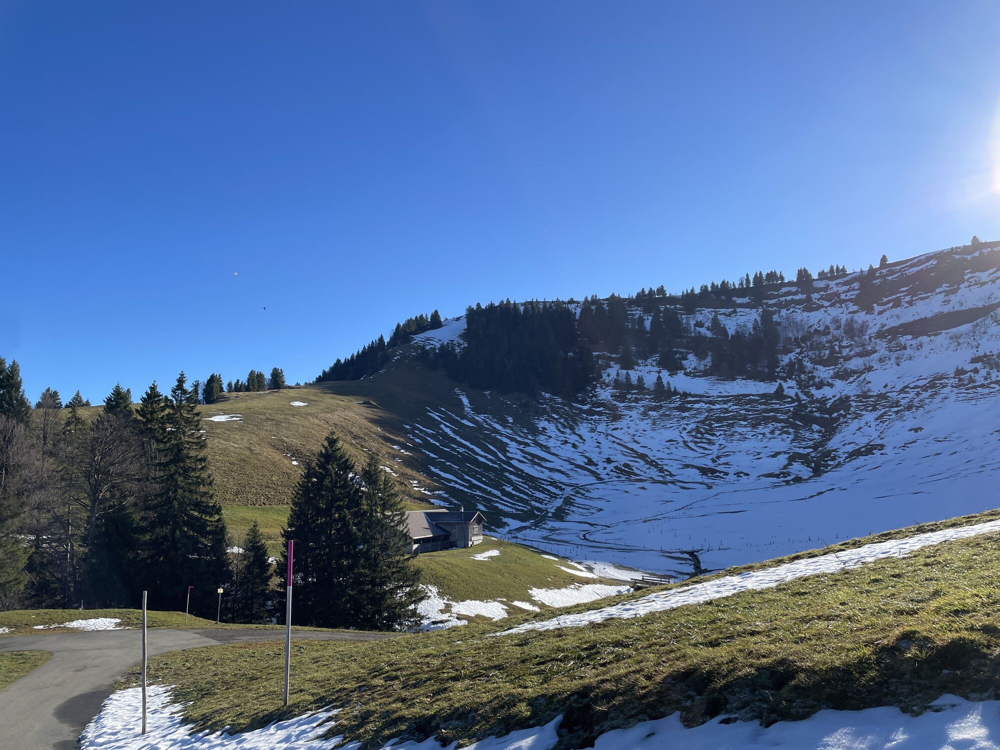
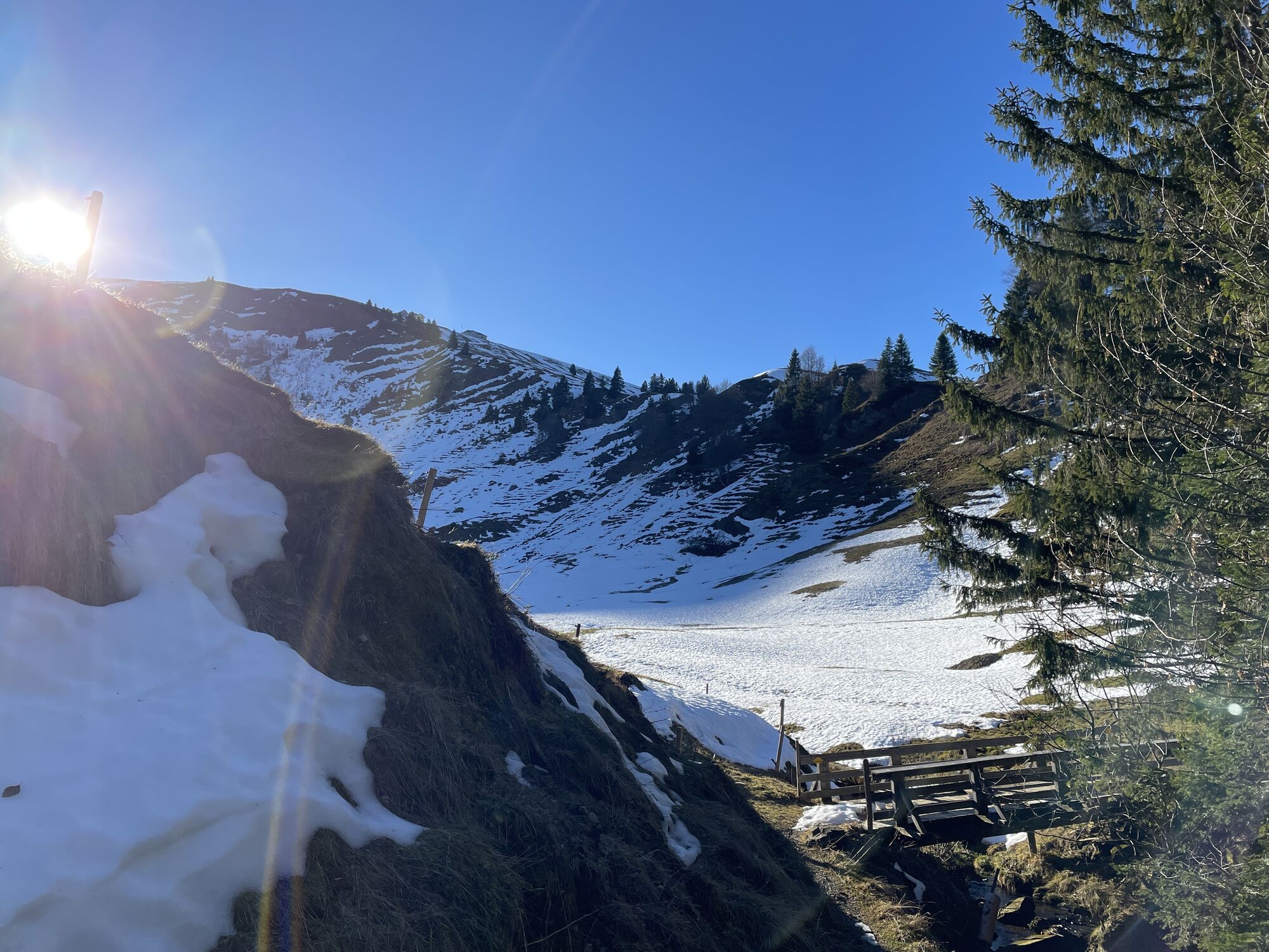

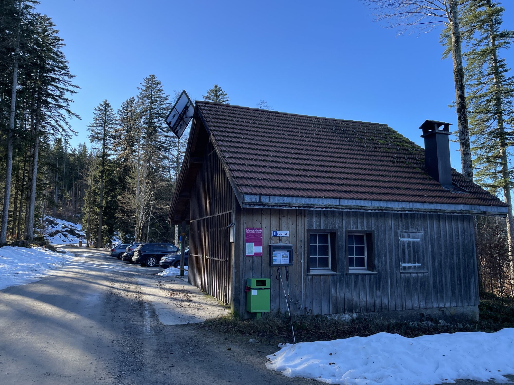
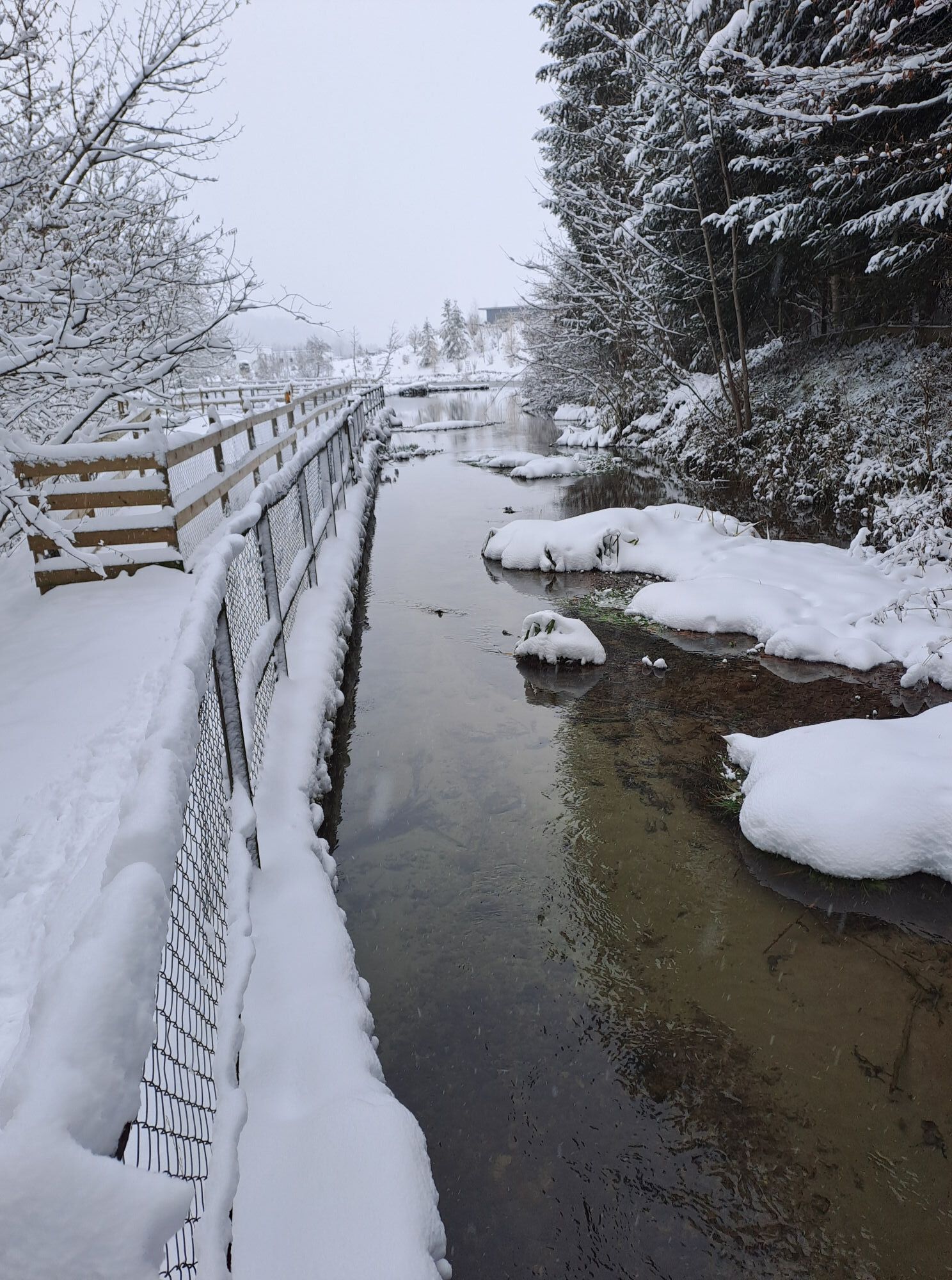
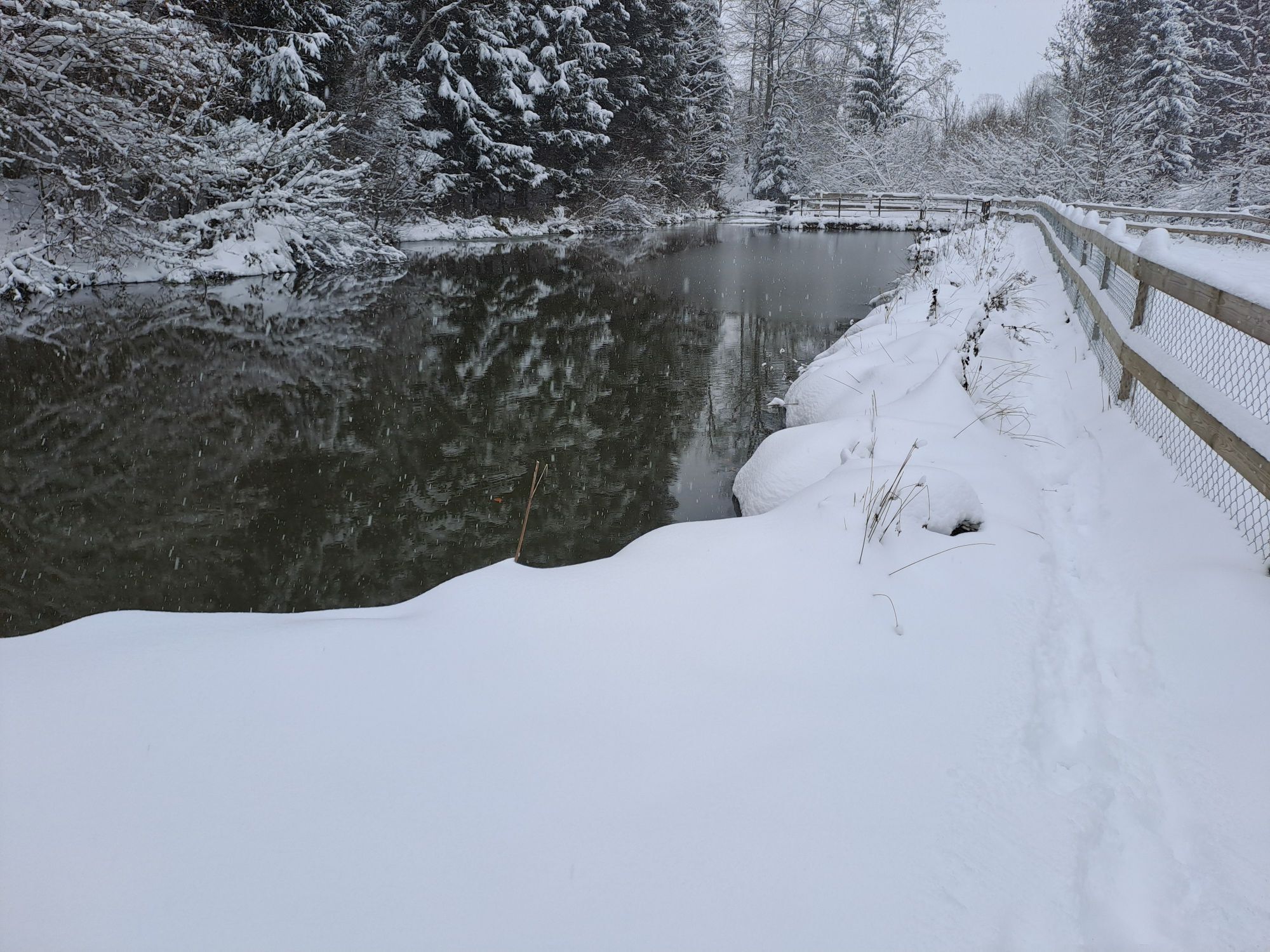
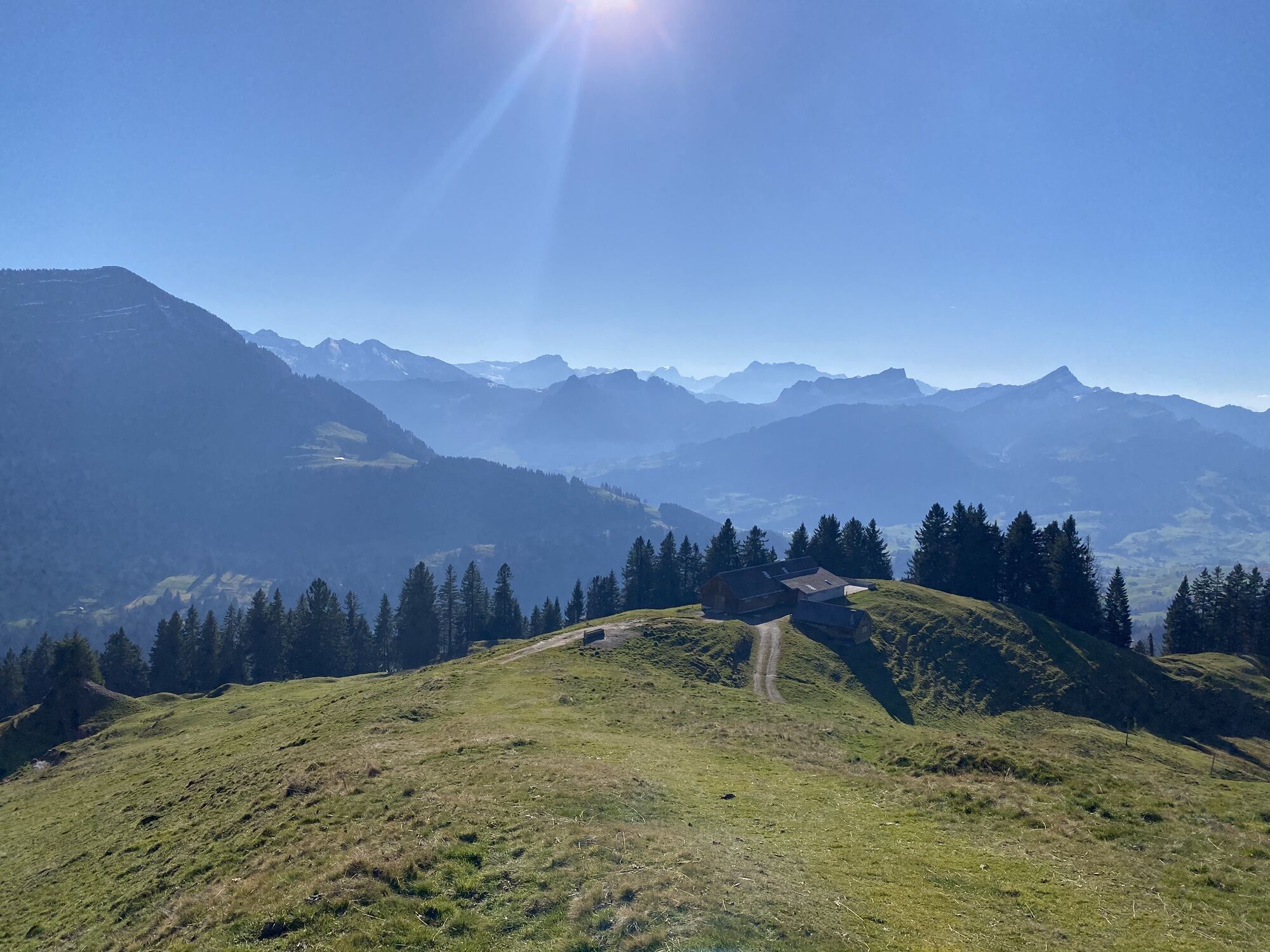
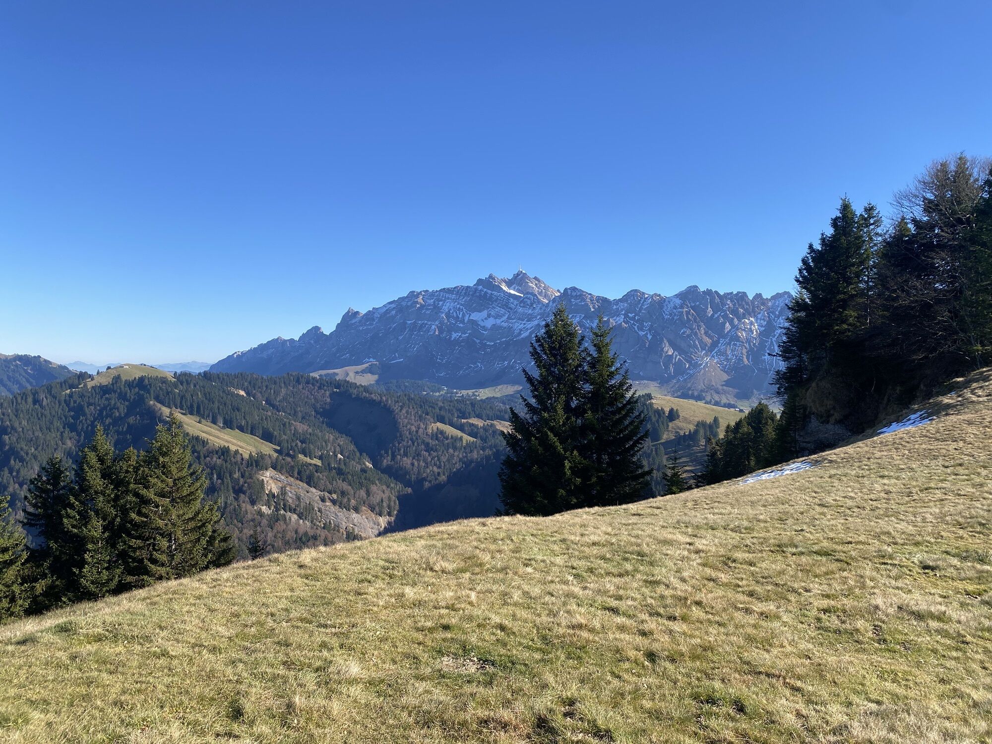
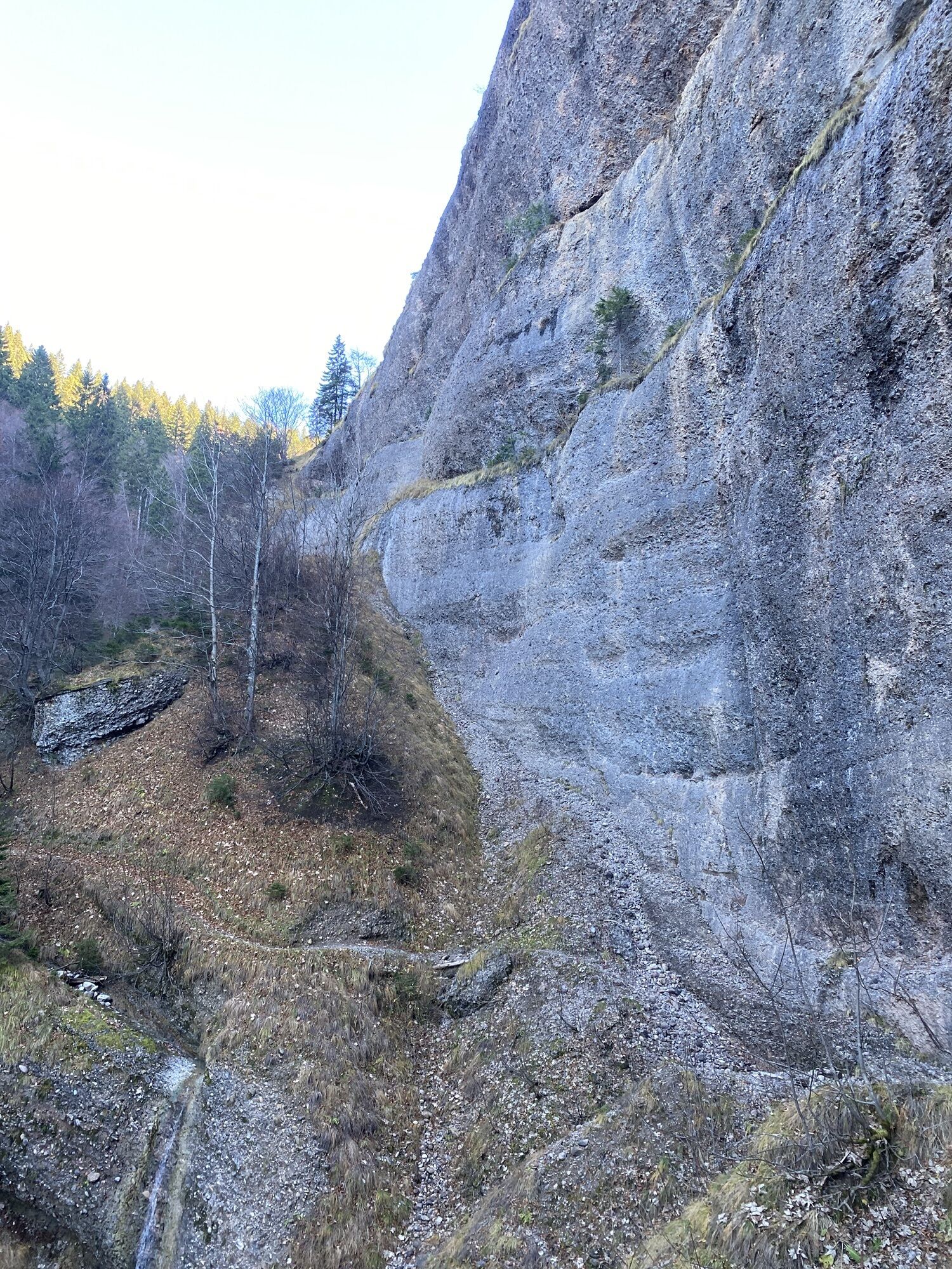
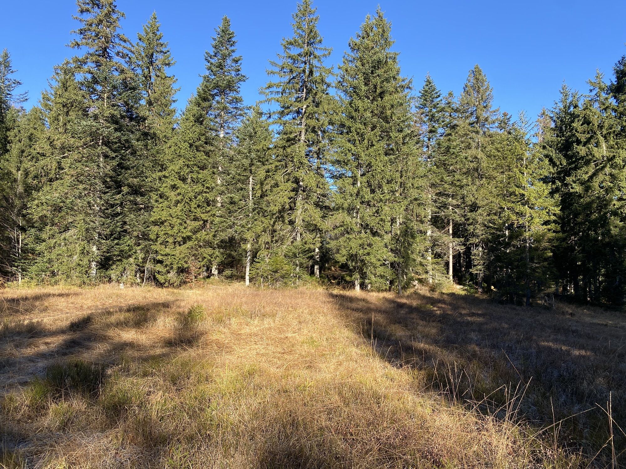
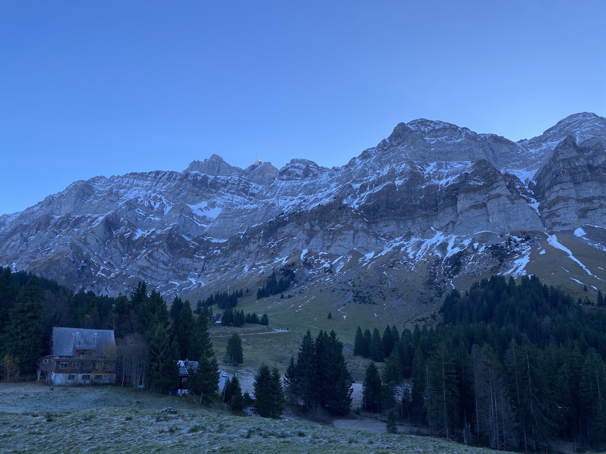
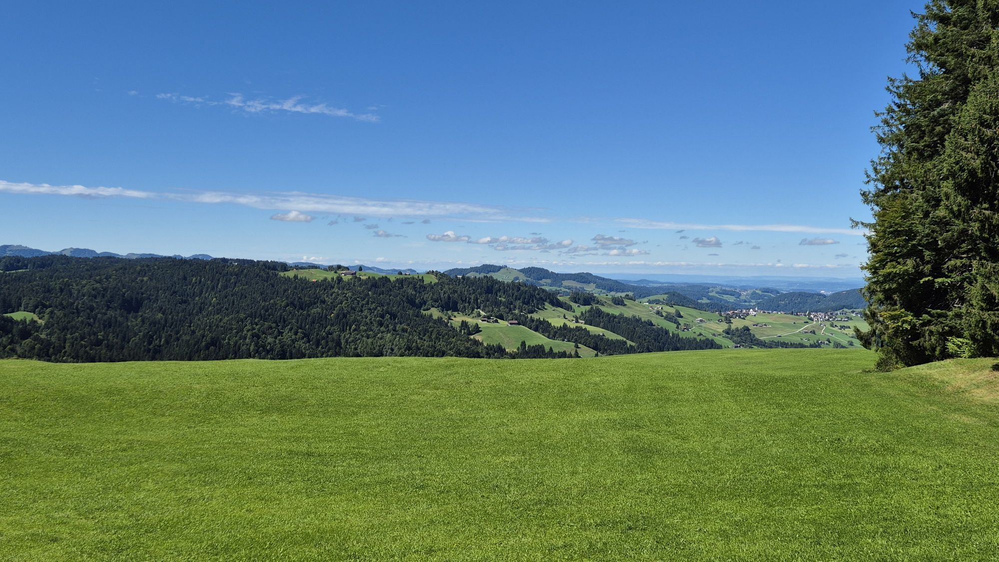
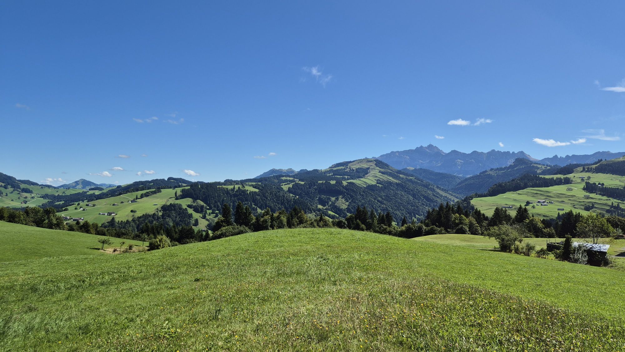
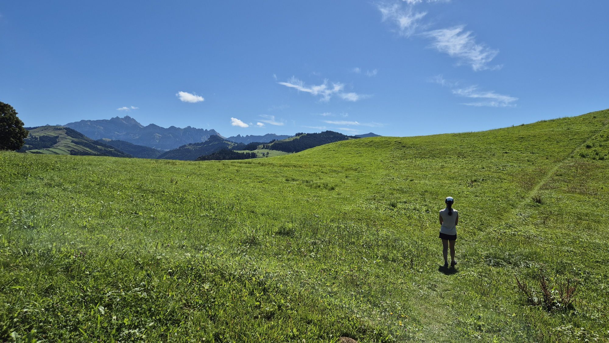
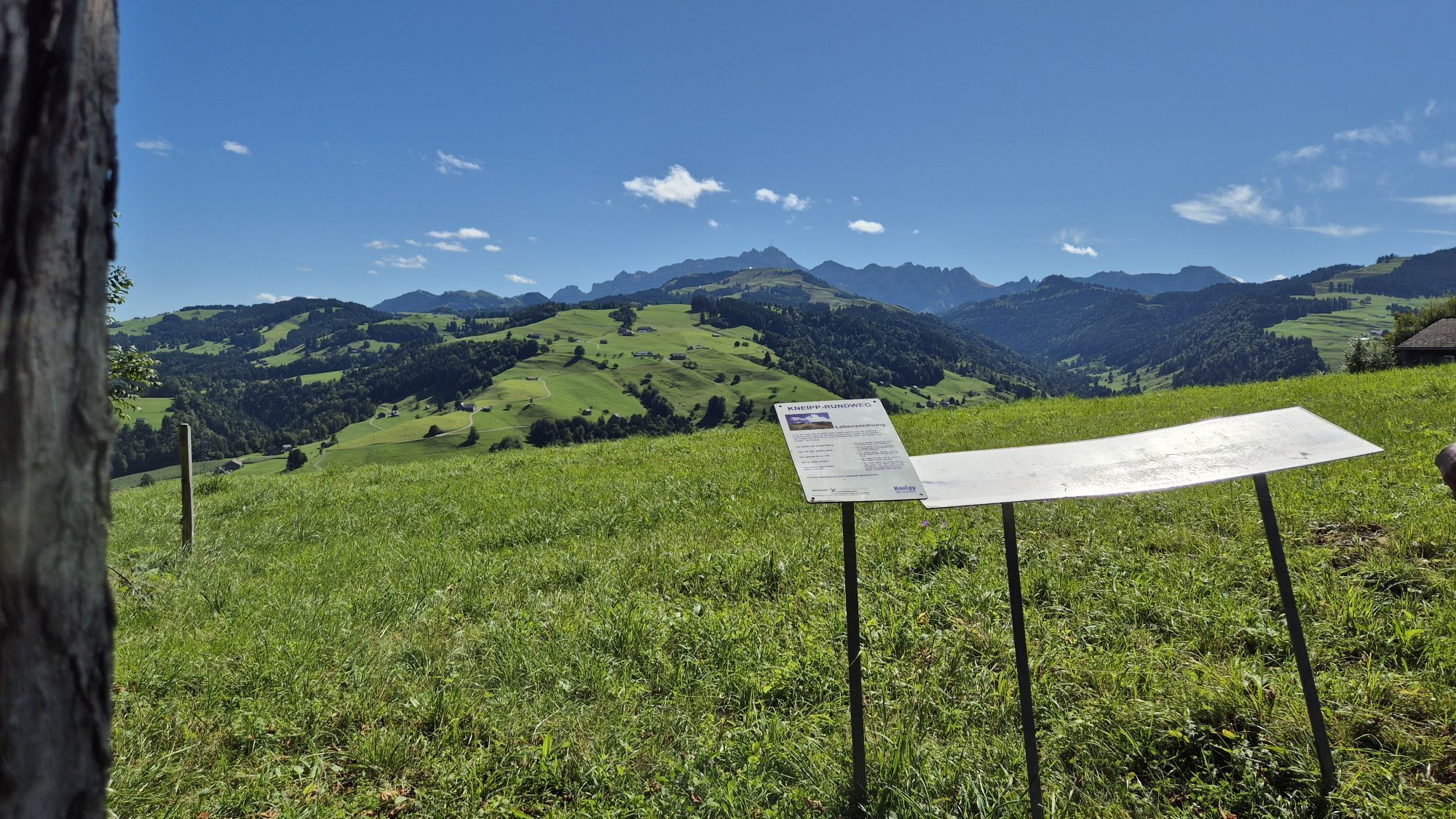
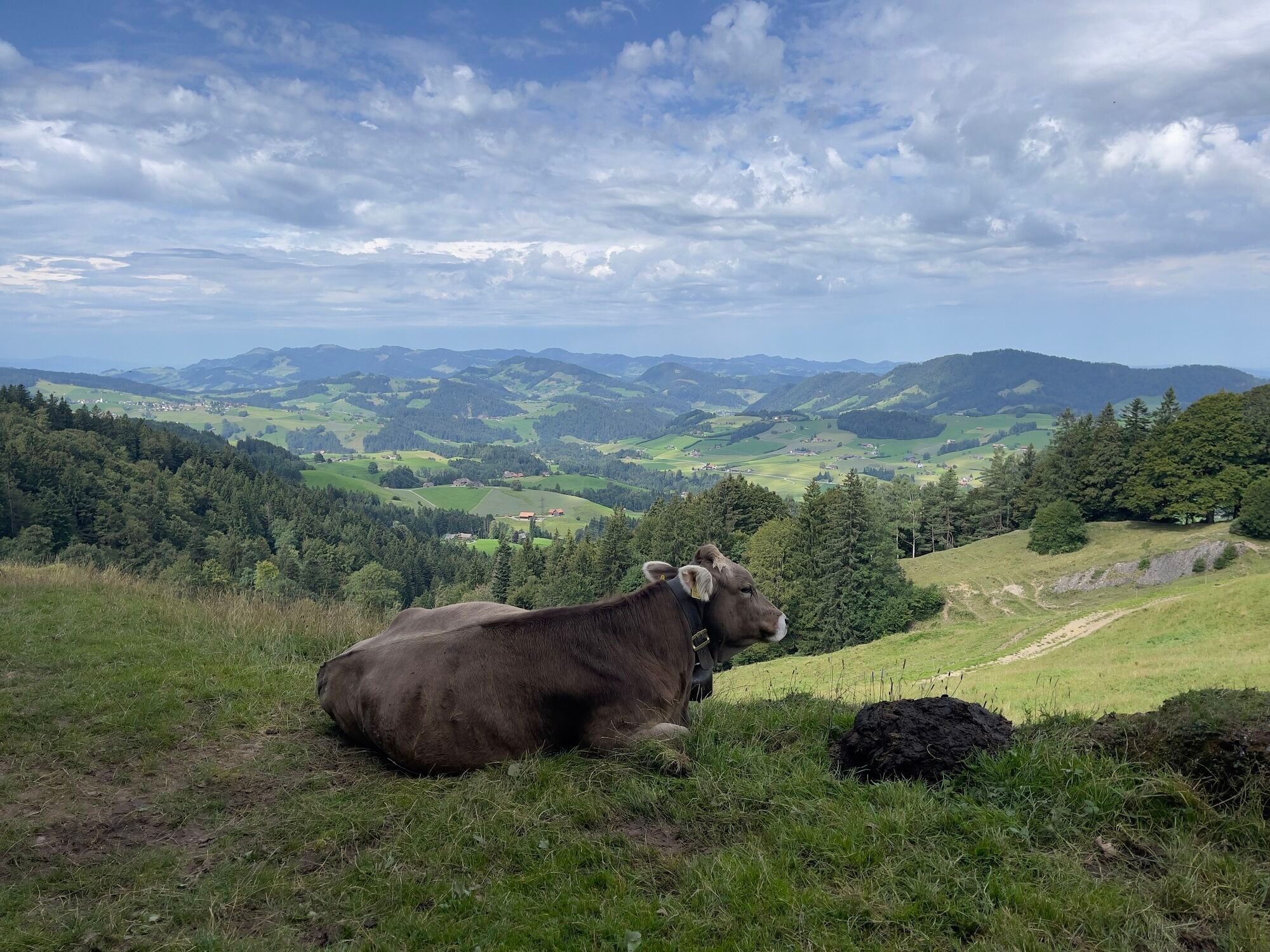

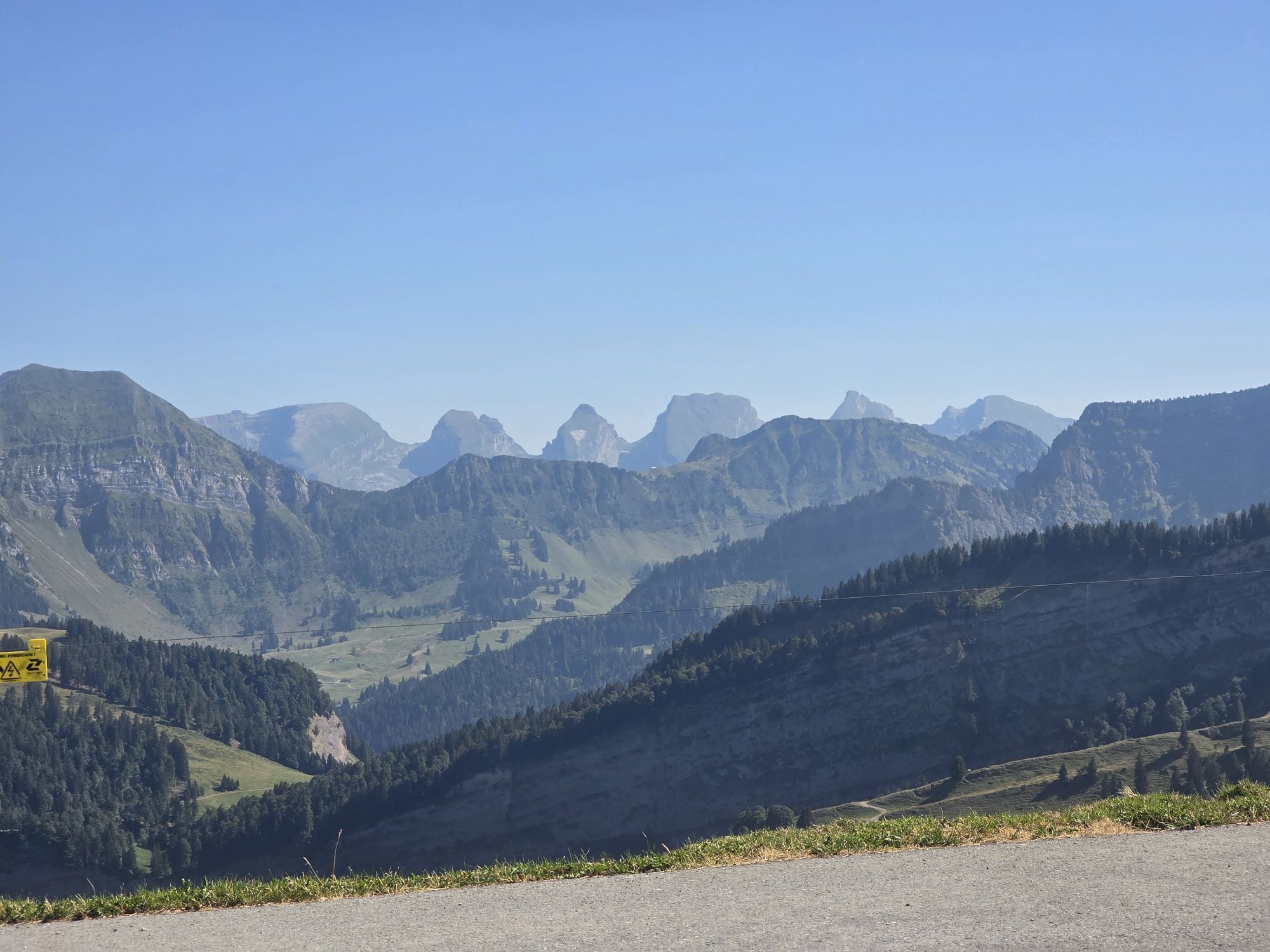
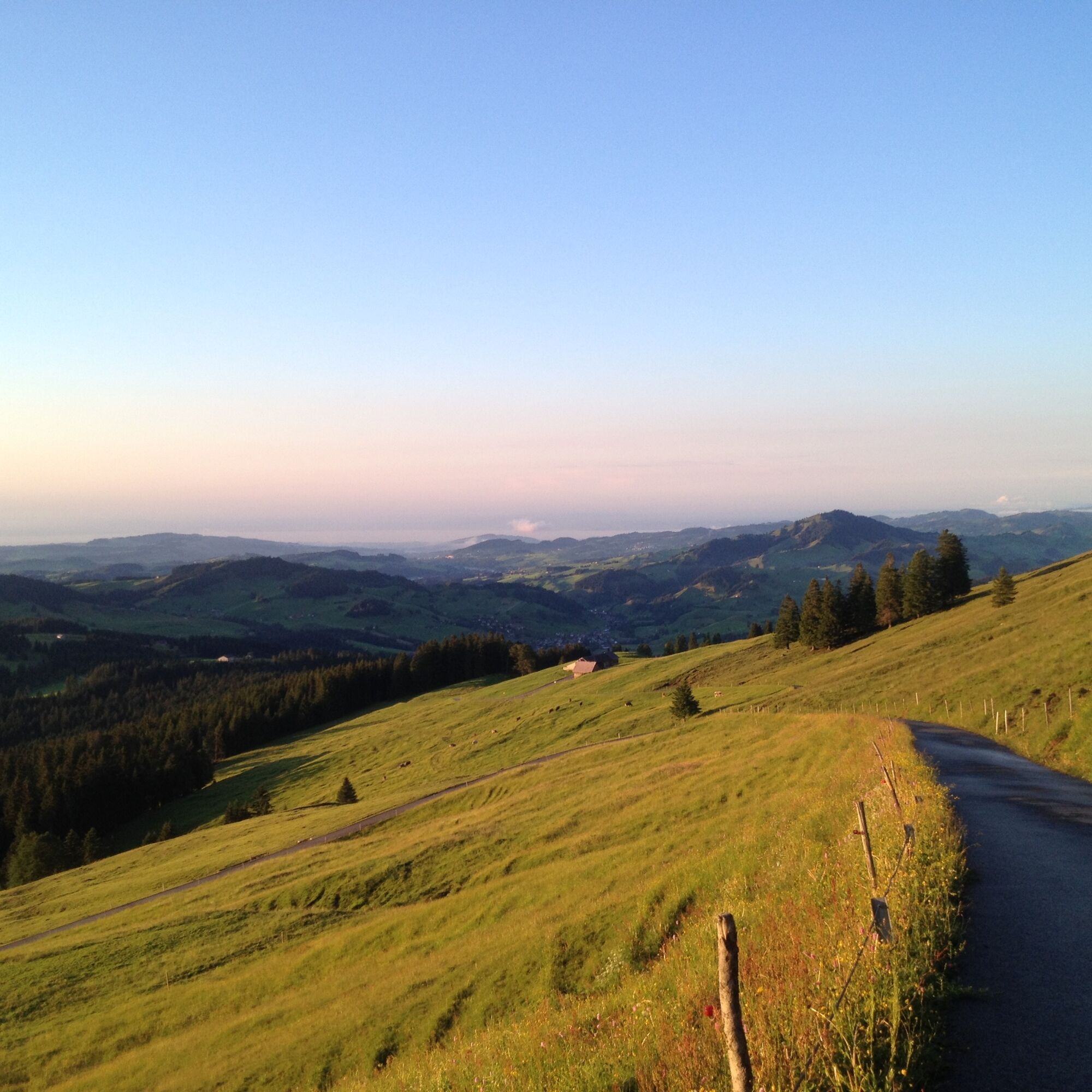
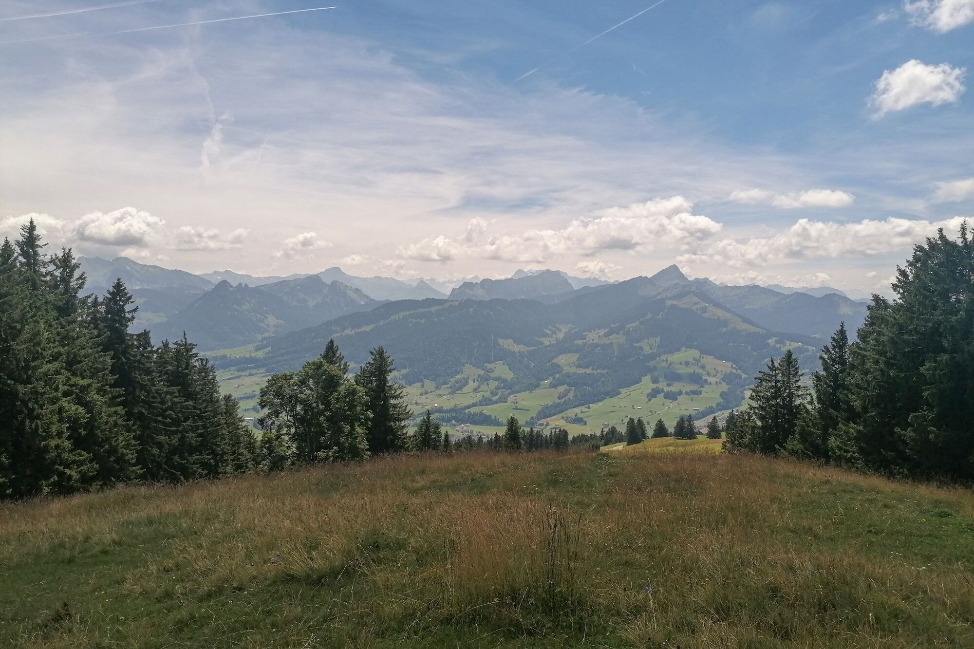
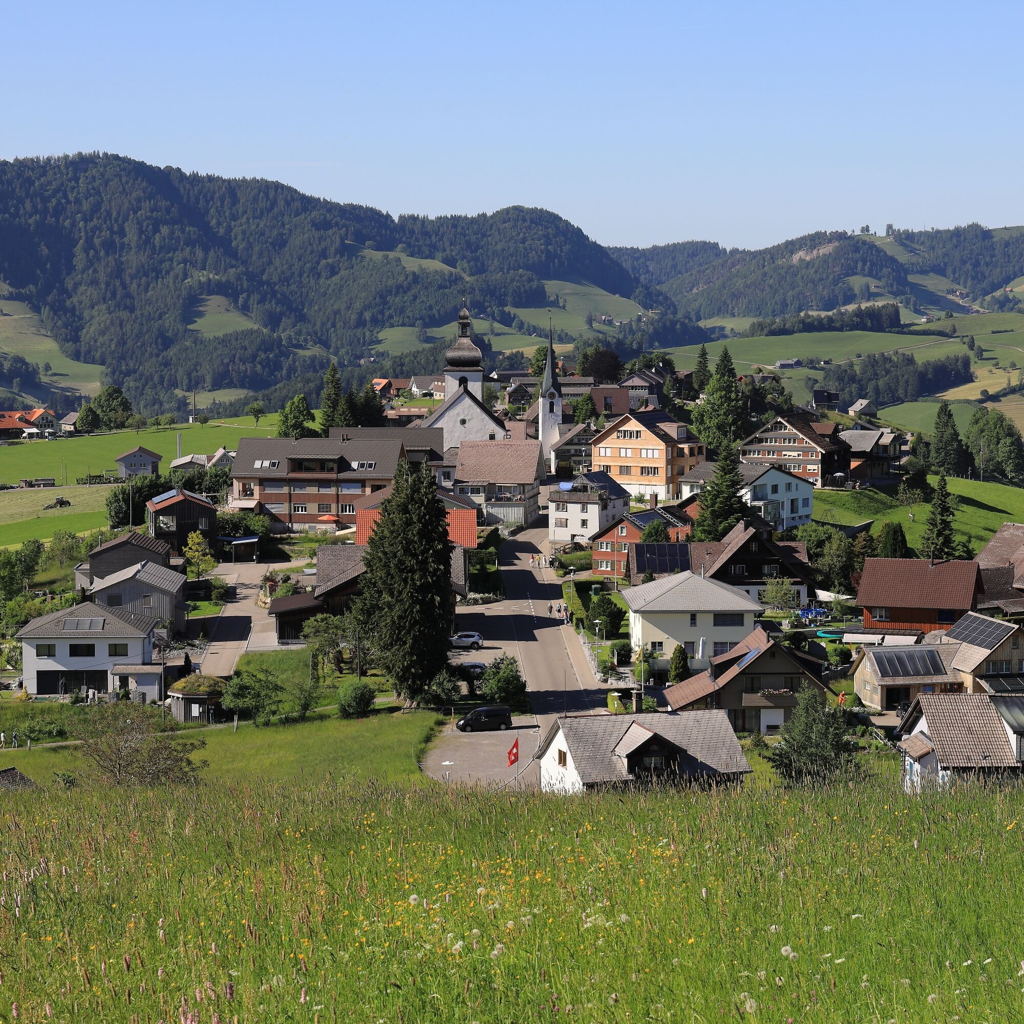
If there is a landscape innocence in Eastern Switzerland, it is the Neckertal. It is not one of the major tourist regions of Switzerland, and this is exactly what makes its special charm. Here you do not...
If there is a landscape innocence in Eastern Switzerland, it is the Neckertal. It is not one of the major tourist regions of Switzerland, and this is exactly what makes its special charm. Here you do not hike on well-trodden paths but enjoy a largely intact landscape with a small, friendly tourist infrastructure.
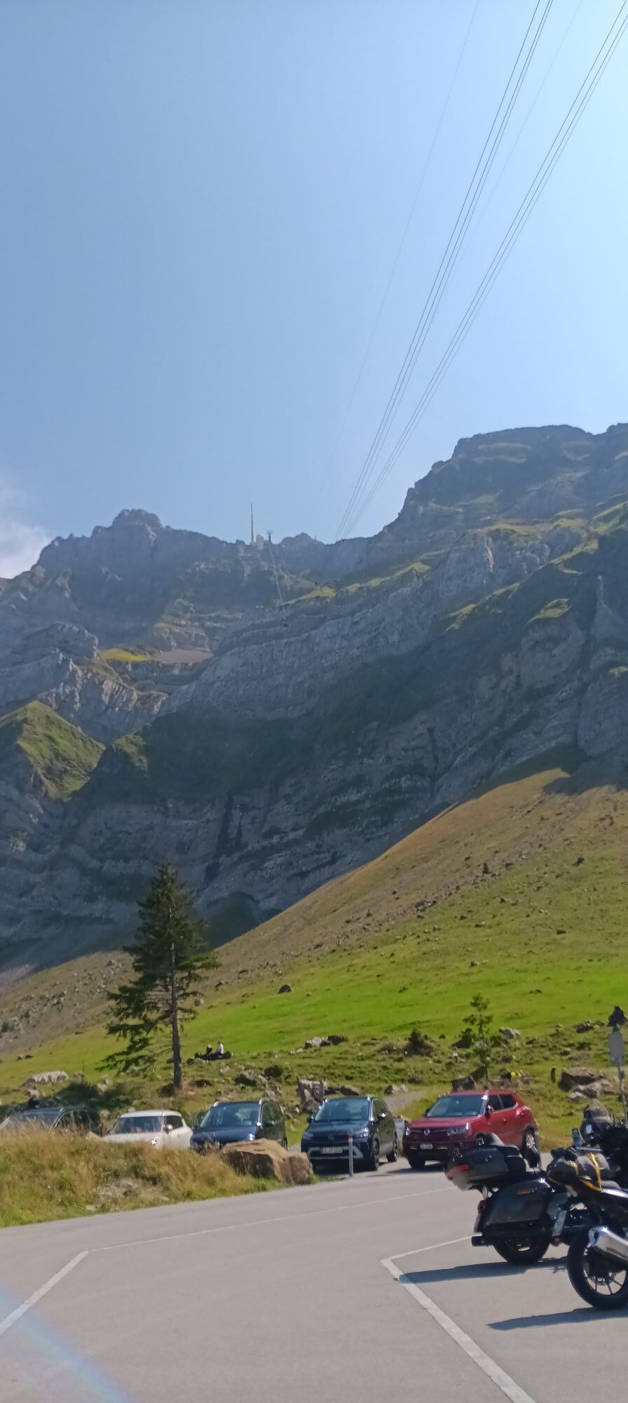
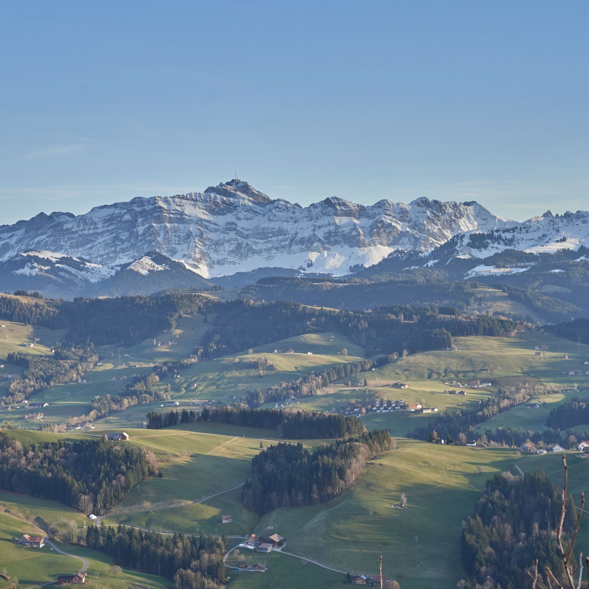
The Neckertal connects Toggenburg with the Appenzellerland and lies at the foot of the Säntis. The route runs through the typical scattered settlement landscape with pretty hamlets and remote farms over all the worthwhile viewpoints in the region. Along the way, you pass a number of natural and cultural sites.


Mogelsberg - Wilkethöchi - Bergli - Landscheidi - Chäseren - Schönengrund - Guggenhalden - Hochalp - Chräzerenpass - Schwägalp - Chräzerenpass - Hinterfallenkopf - Gössigenhöchi - Bendel - Rigelschwendi - Hemberg
Day hiking backpack (approx. 20 liters) with rain cover, sturdy and comfortable footwear, weather-appropriate and durable clothing in multiple layers, possibly telescopic poles, sun and rain protection, provisions and drinking water, first aid kit, pocket knife, mobile phone, possibly headlamp, map material
From Zurich, the route leads from the Wil motorway exit via Lütisburg and Ganterschwil to Mogelsberg. From St.Gallen, take the St.Gallen Winkeln motorway exit towards Herisau, Degersheim and Hoffeld until you reach the village of Mogelsberg.
Arrival to Mogelsberg is by SBB via St.Gallen and Herisau or Wil and Lichtensteig.
There are sufficient parking spaces available at Mogelsberg station.
Toggenburg Tourism
Hauptstrasse 104
CH-9658 Wildhaus
Tel: +41 (0)71 999 99 11
E-mail: info@toggenburg.swiss
Internet: www.toggenburg.swiss
Webové kamery z prohlídky
-
Degersheim - Hotel Wolfensberg
-
Degersheim - Hotel Wolfensberg
-
Schwellbrunn - Restaurant Landscheide
-
Bergrestaurant Hochhamm - Schönengrund
-
Urnäsch
-
Säntis
-
Krummenau - Wolzenalp
-
Scherbhütte - Panoramaloipe
-
Thurloipe Ebnat-Kappel
-
Kronberg
-
Haus Steinfels
-
Wintersberg - Landgasthof Sonne
-
Hochhamm
-
Skilift Wolzenalp
-
Berggasthaus Alter Säntis
-
Berggasthaus Alter Säntis
-
Schönengrund - Wald
-
Skilift Hemberg
-
Mogelsberg

Oblíbené prohlídky v okolí
-
5.0
Staubern-Runde (15.8.2021)
středníTuristika 8.65 km -
4.9
Säntis-Gipfeltour, Wasserauen / Appenzell Innerrhoden
heavyTuristika 21.1 km -
4.8
Tour Brülisau - Saxerlücke - Hoherkasten⛰
heavyTuristika 16.6 km -
4.6
Wasserauen - Seealpsee - Wasserauen
středníTuristika 7.71 km -
4.6
Säntis
středníHorská turistika 17.5 km -
4.8
Schwende, Appenzell Innerrhoden
středníTuristika 11.8 km -
4.9
Alpine and Cultural Trail Schrina
středníTematická stezka 11.5 km -
4.8
2 Seenwanderung Sämtisersee und Fälensee
středníTuristika 14.6 km -
4.6
Frümsen - Saxerlücke - Staubern, Schweiz
středníTuristika 14.0 km -
4.6
Amden - Speer (Rundkurs)
světloTuristika 17.6 km
Pěší turistika a stopování


Nenechte si ujít nabídky a inspiraci pro vaši příští dovolenou
Vaše e-mailová adresa byl přidán do poštovního seznamu.


