







Stein am Rhein - Mammern - Stein am Rhein

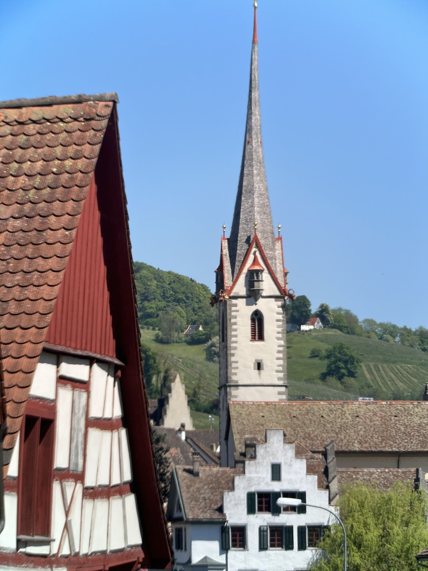
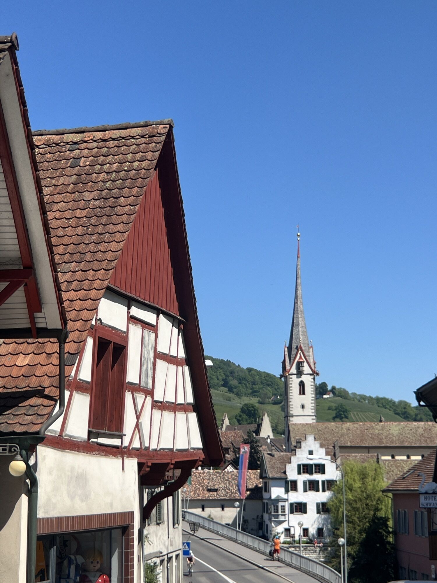
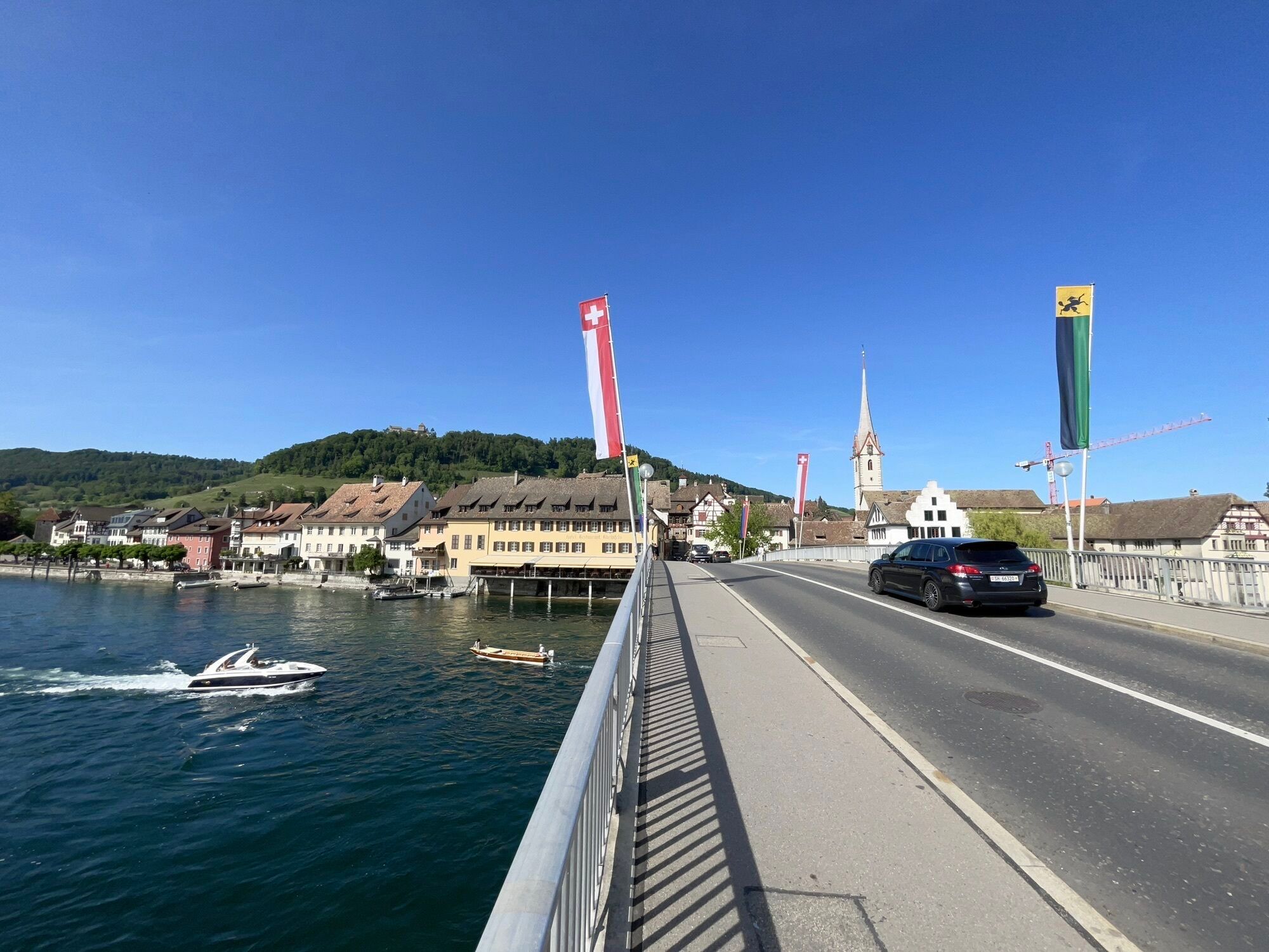
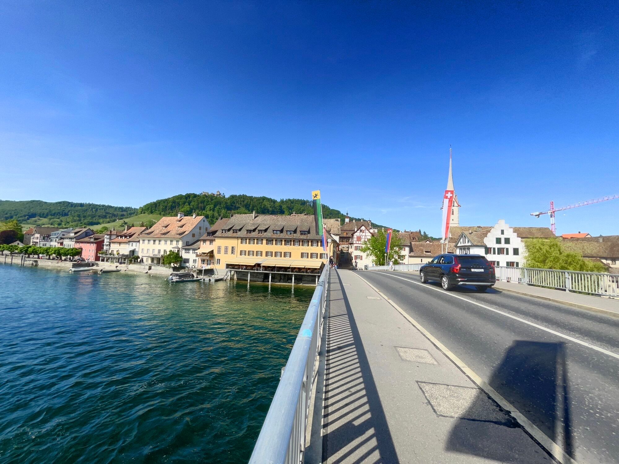
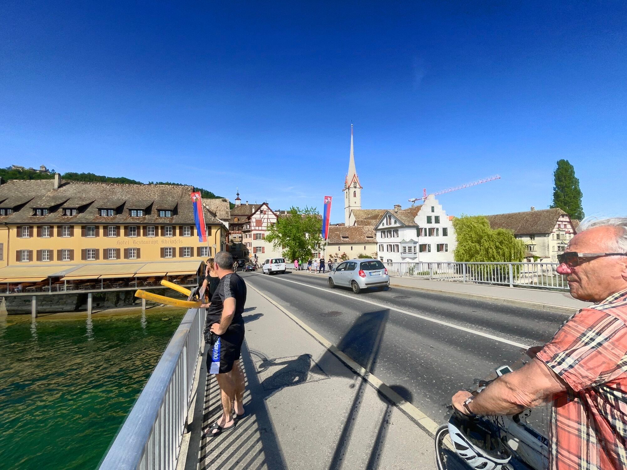
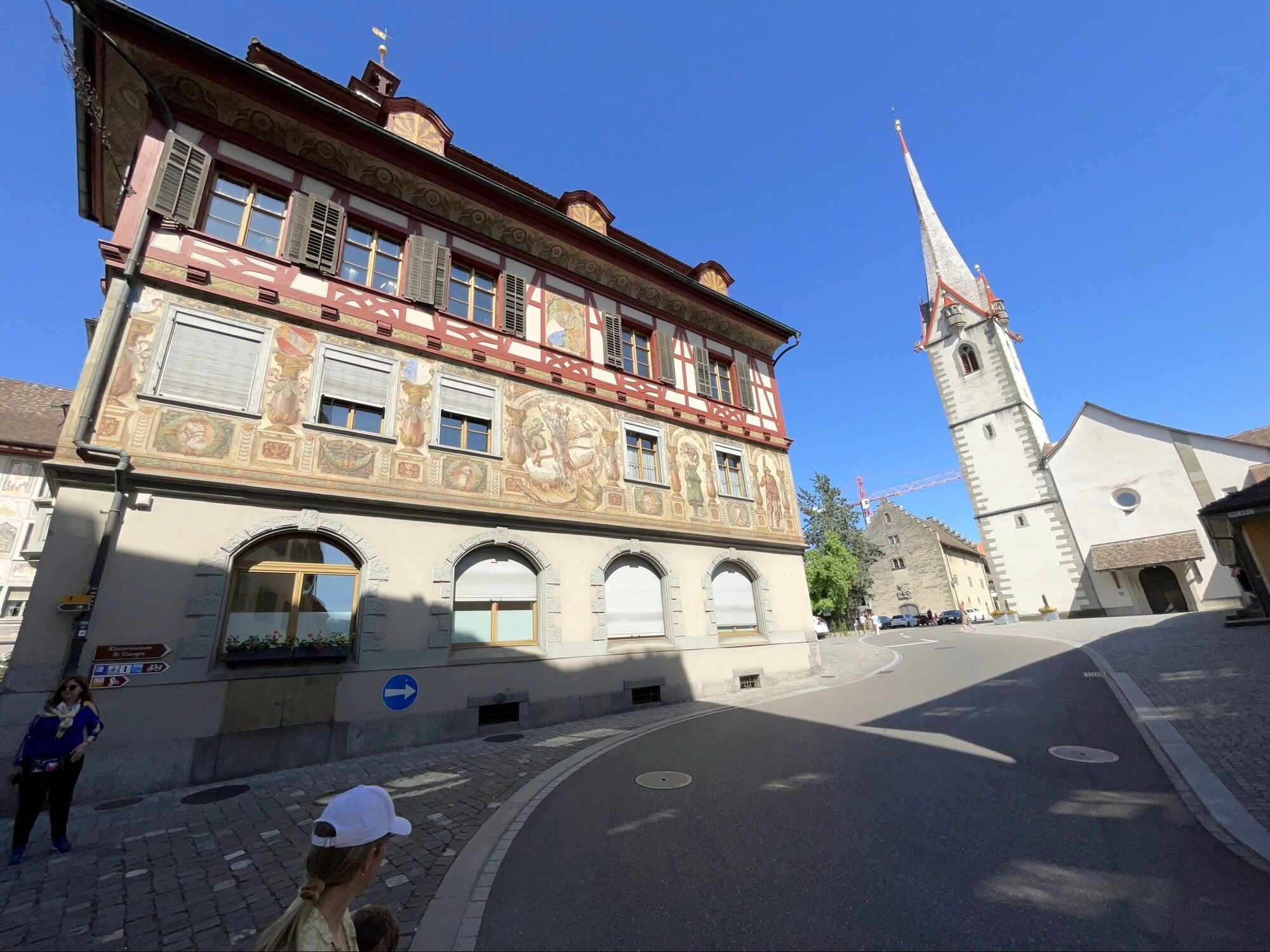
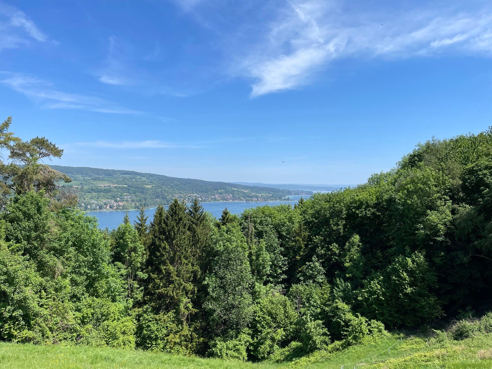
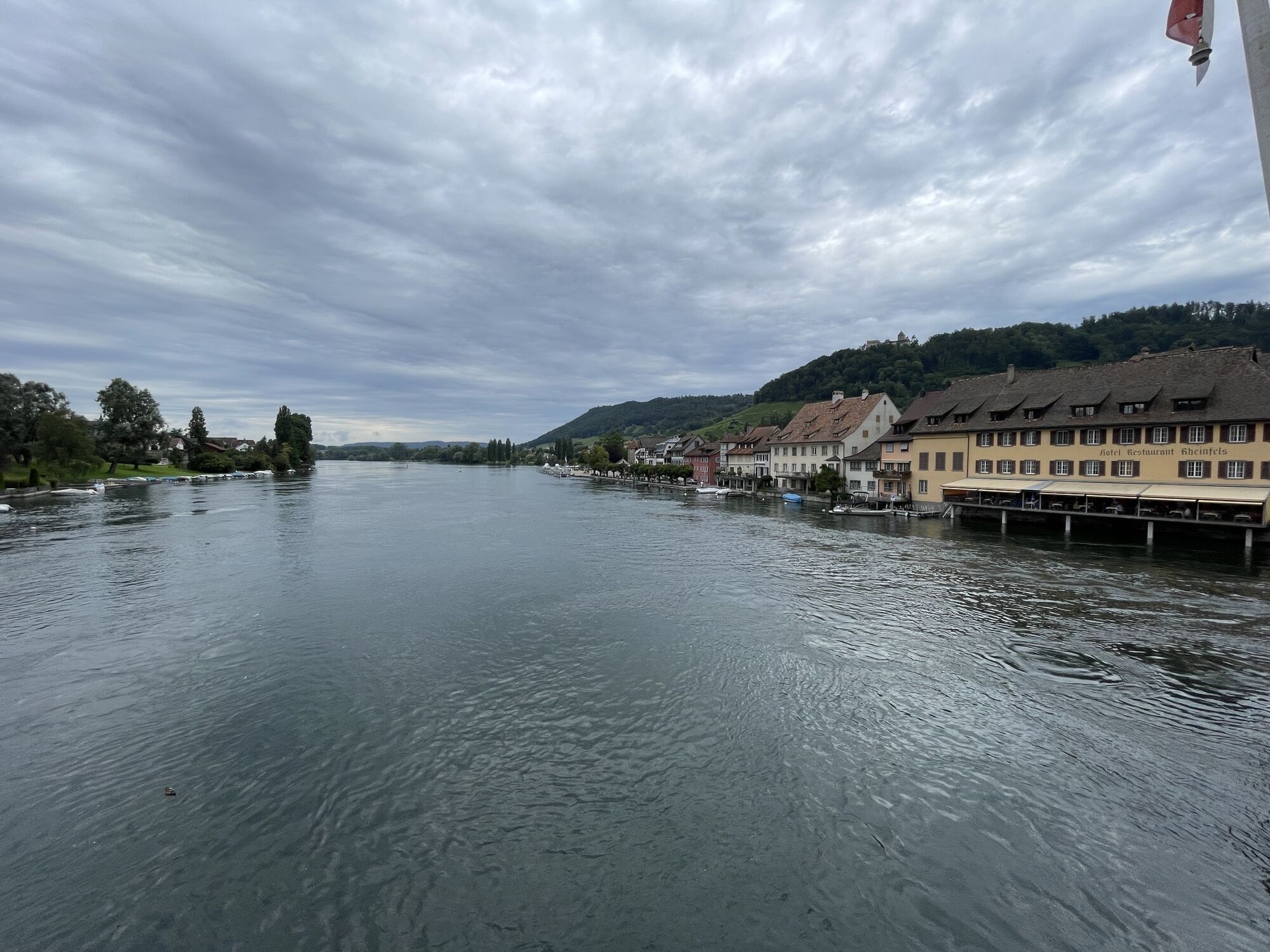
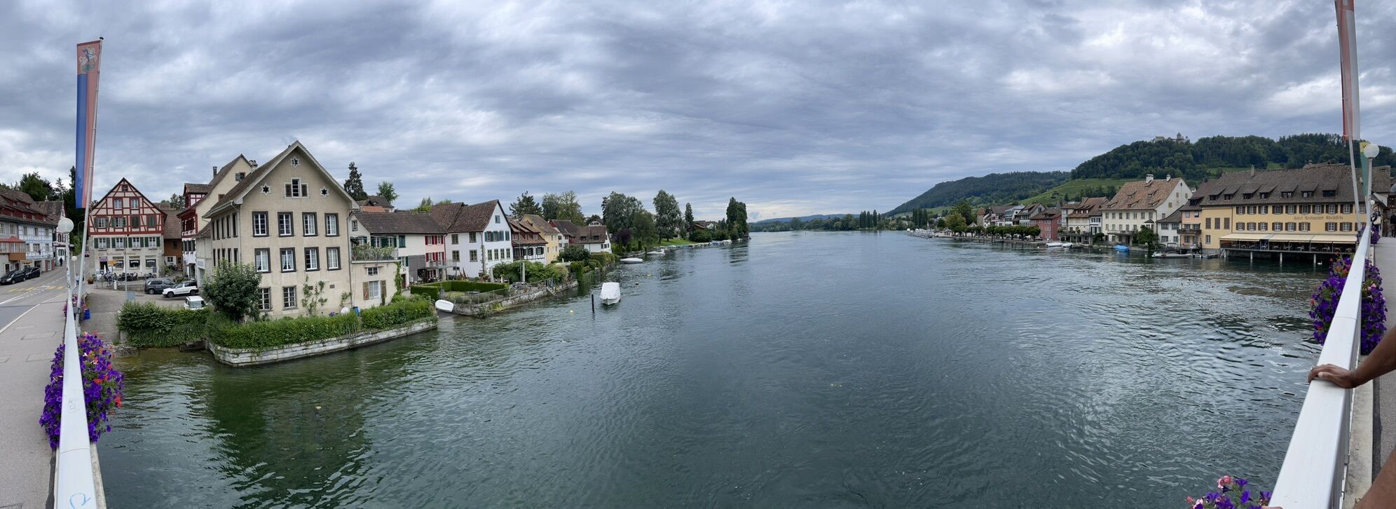
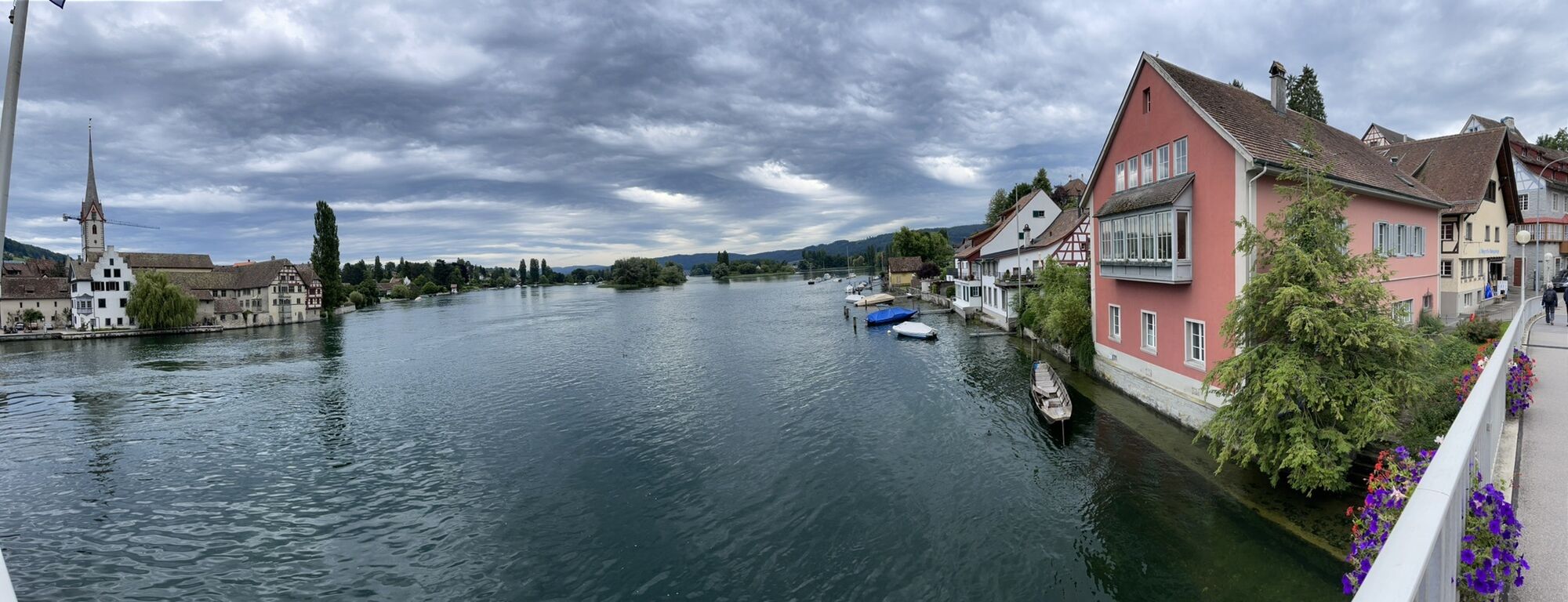
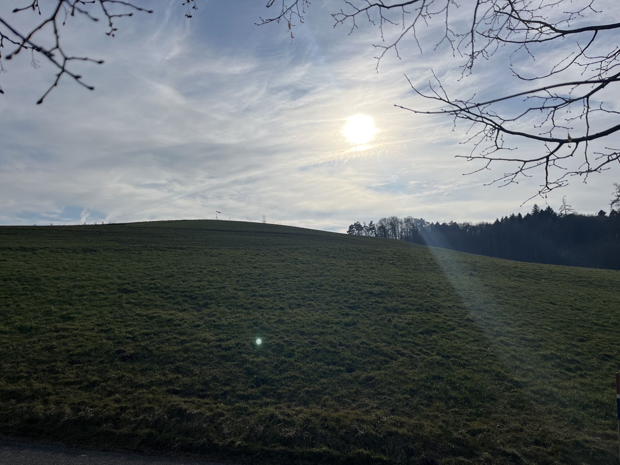
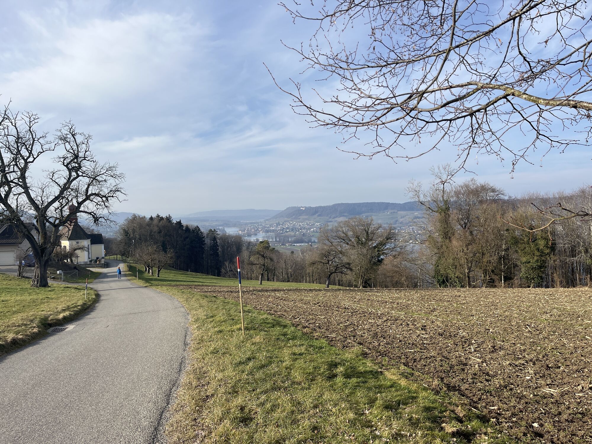
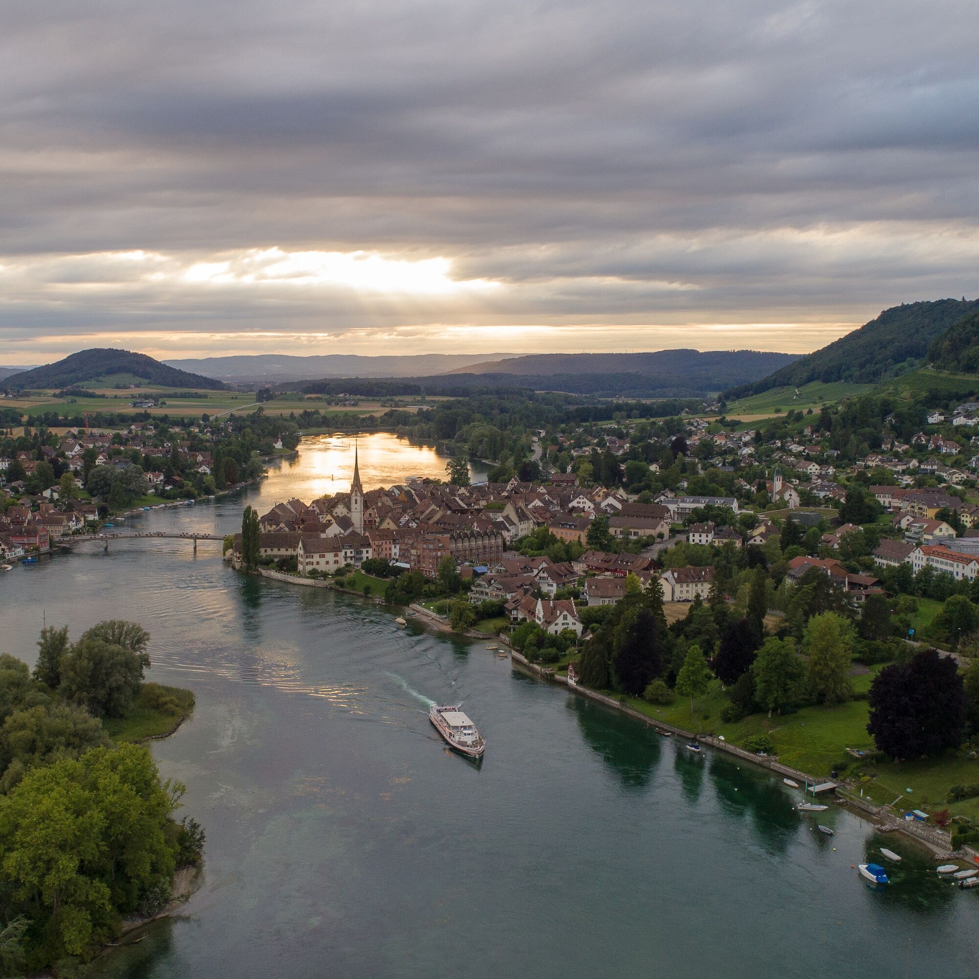
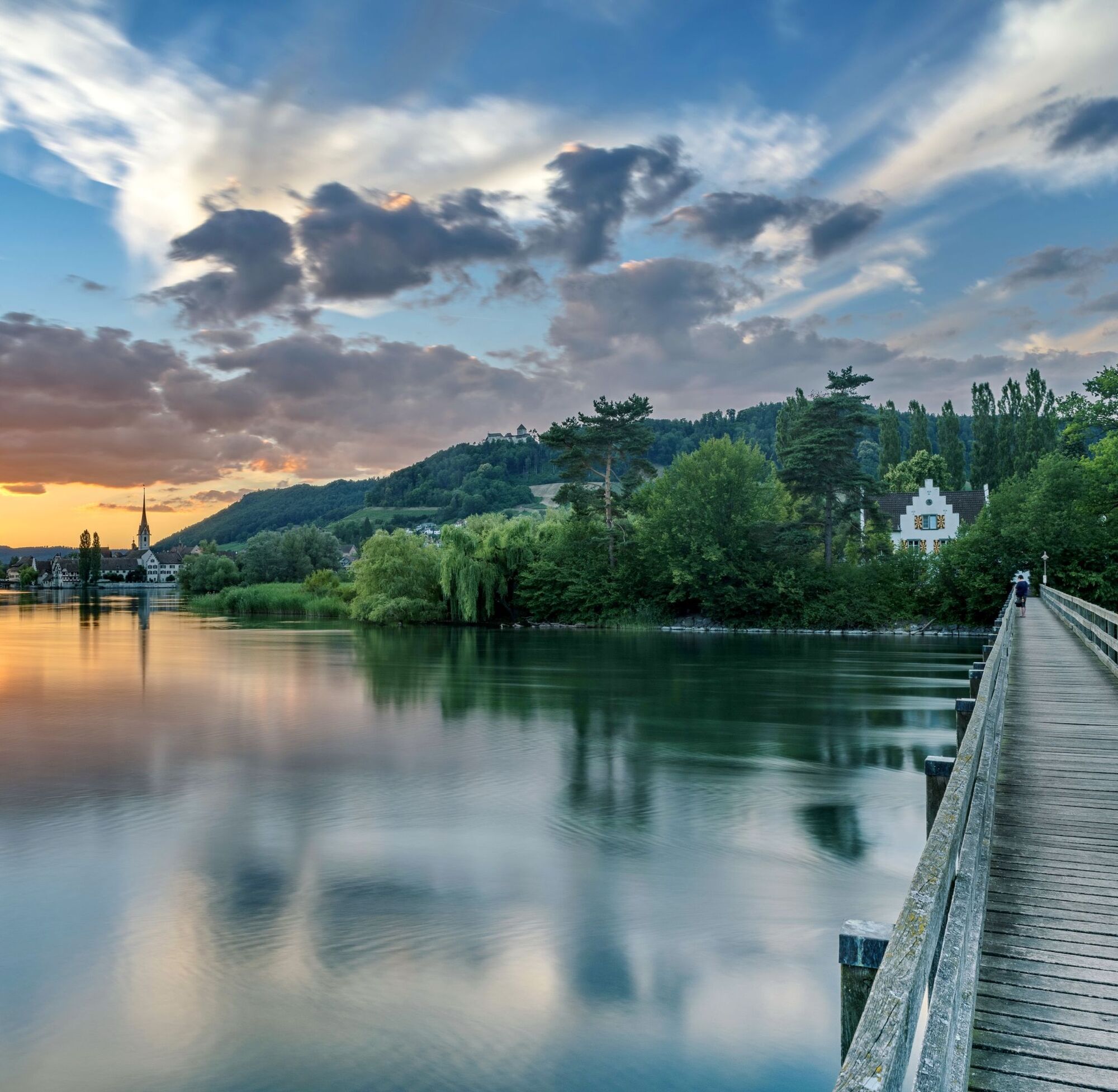
Shortly after leaving the small town of Stein am Rhein, the island of Werd can be seen. Continue across the wide field south of the Eschenzer Horn. The view back to Hohenklingen Castle is unique. Past...
Shortly after leaving the small town of Stein am Rhein, the island of Werd can be seen. Continue across the wide field south of the Eschenzer Horn. The view back to Hohenklingen Castle is unique. Past the public bathing area of Eschenz along the lakeside path. The hiking trail leads away from the lake uphill to Klingenzell. From the intermediate destination Klingenzell, the footpath leads down again through the forest to Mammern. Along the railway tracks with a small ascent at the Halde, the path leads back towards Stein am Rhein.

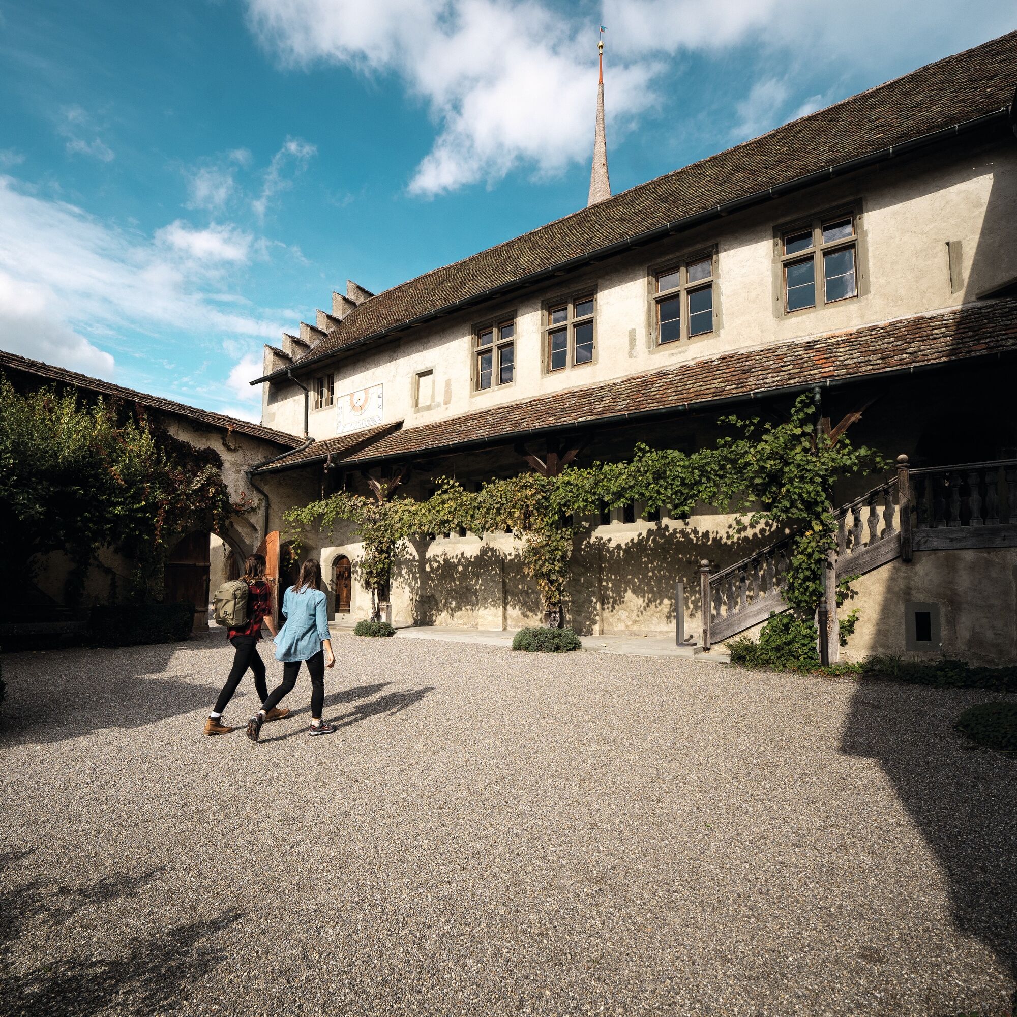

Starting point: Stein am Rhein
Route planner
Starting point: Stein am Rhein
In Stein am Rhein, public paid parking spaces are available.

Oblíbené prohlídky v okolí
- 4.0
Around the island of Reichenau
světloTuristika 10.9 km - 5.0
Hike on the panorama route of the Höri Peninsula
středníTuristika 8.11 km - 4.0
Circular hike Gaienhofen-Middle Höri
středníTuristika 12.6 km - 3.7
Firstweg Langenmos
středníTuristika 5.76 km Stein am Rhein - Hohenklingen Castle - Stein am Rhein
středníTuristika 7.68 kmSchweizMobil 2: Rhine Route stage 6 (Kreuzlingen - Schaffhausen)
středníJízda na kole 47.0 km- 5.0
From Konstanz around the island of Reichenau (Lake Constance)
středníJízda na kole 28.7 km - 4.5
Circular hiking trail from Mammern on Lake Constance to the Neuburg ruins
světloTuristika 6.73 km - 3.0
"Hegauer Kegelspiel" Grenzgänger
světloTuristika 12.6 km Rundweg Schienerberg
heavyTuristika 18.6 km
Pěší turistika a stopování


Nenechte si ujít nabídky a inspiraci pro vaši příští dovolenou
Vaše e-mailová adresa byl přidán do poštovního seznamu.





