





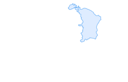

Chatzenloch hike with suspension bridge
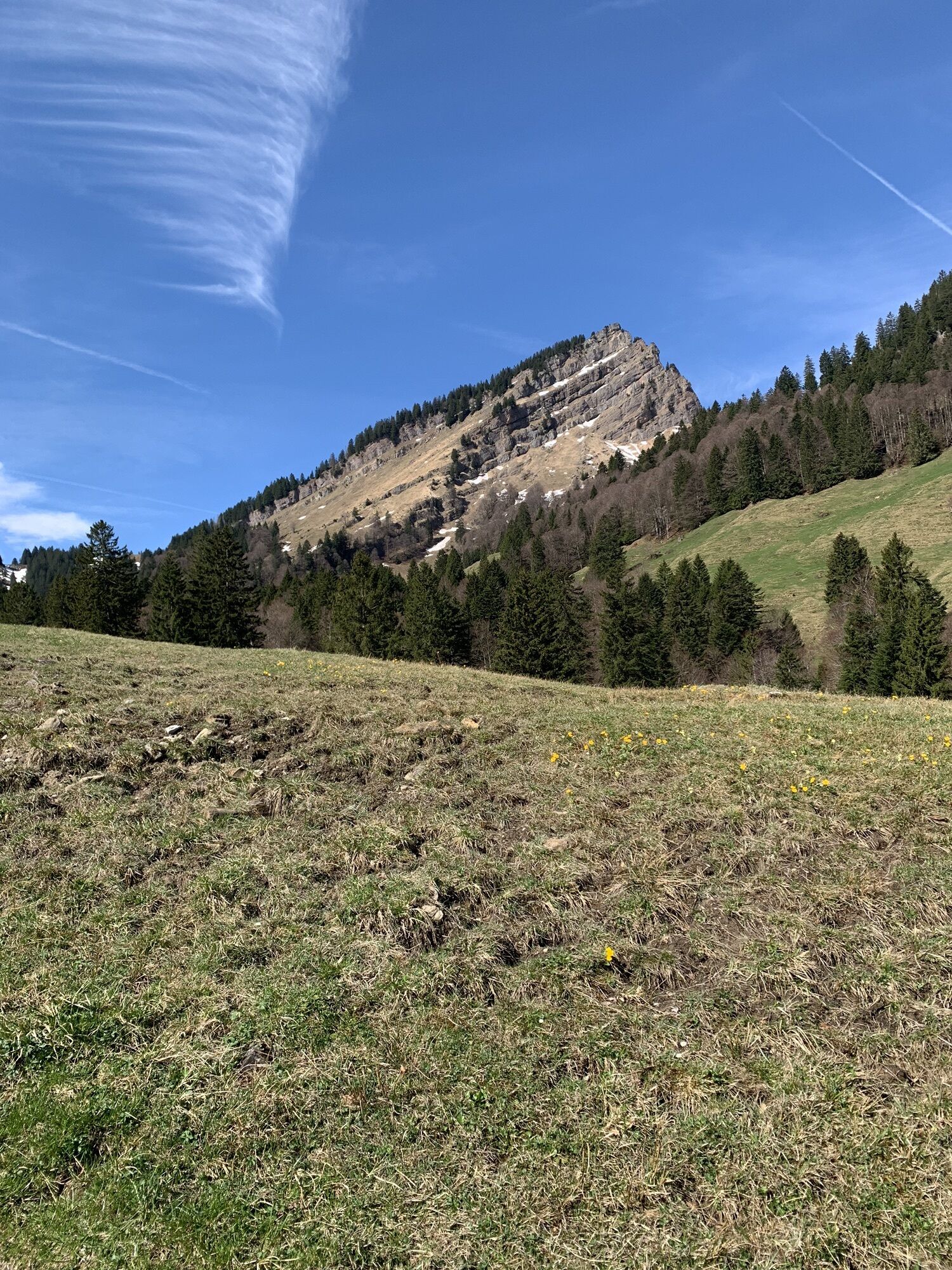
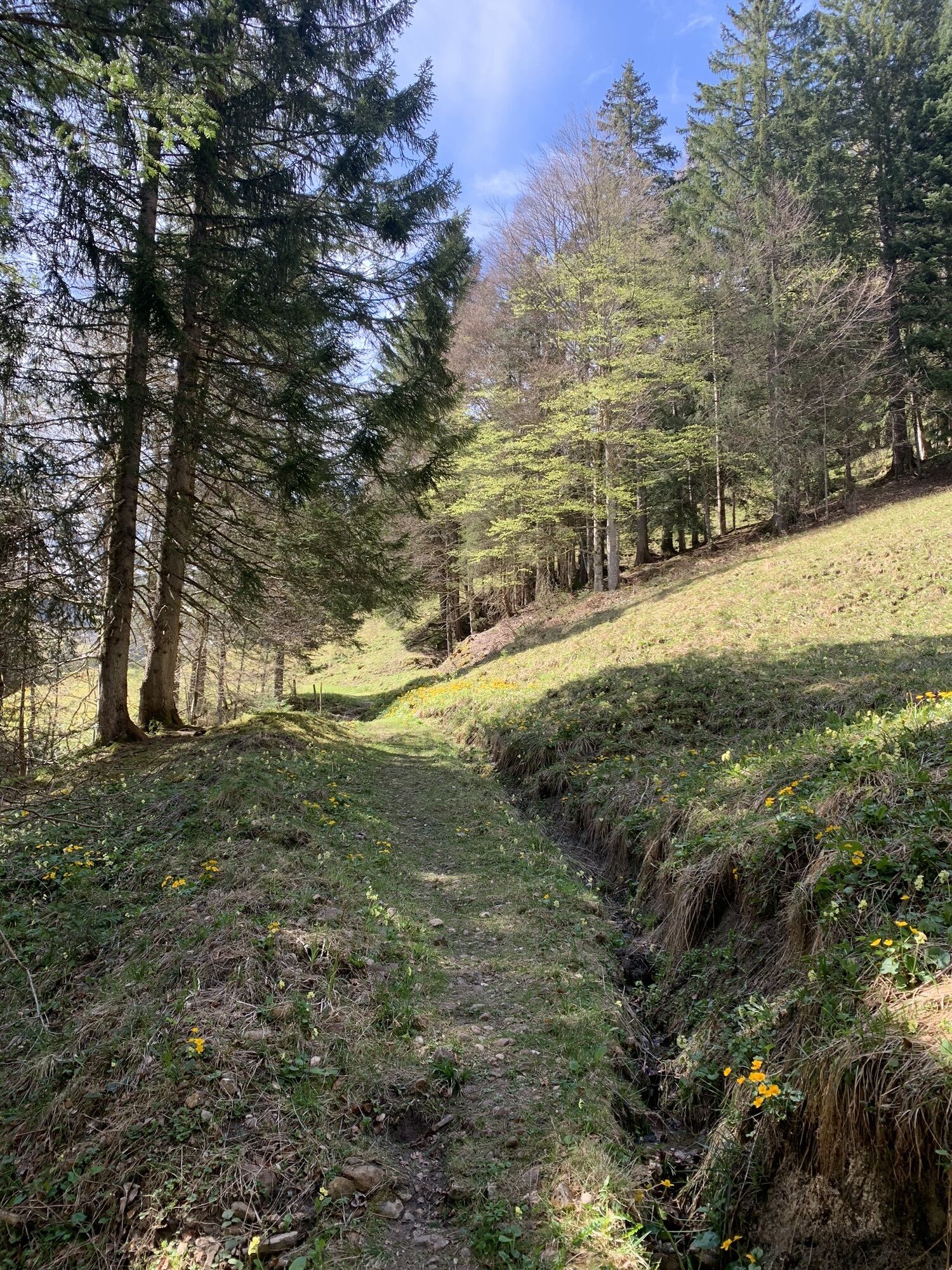
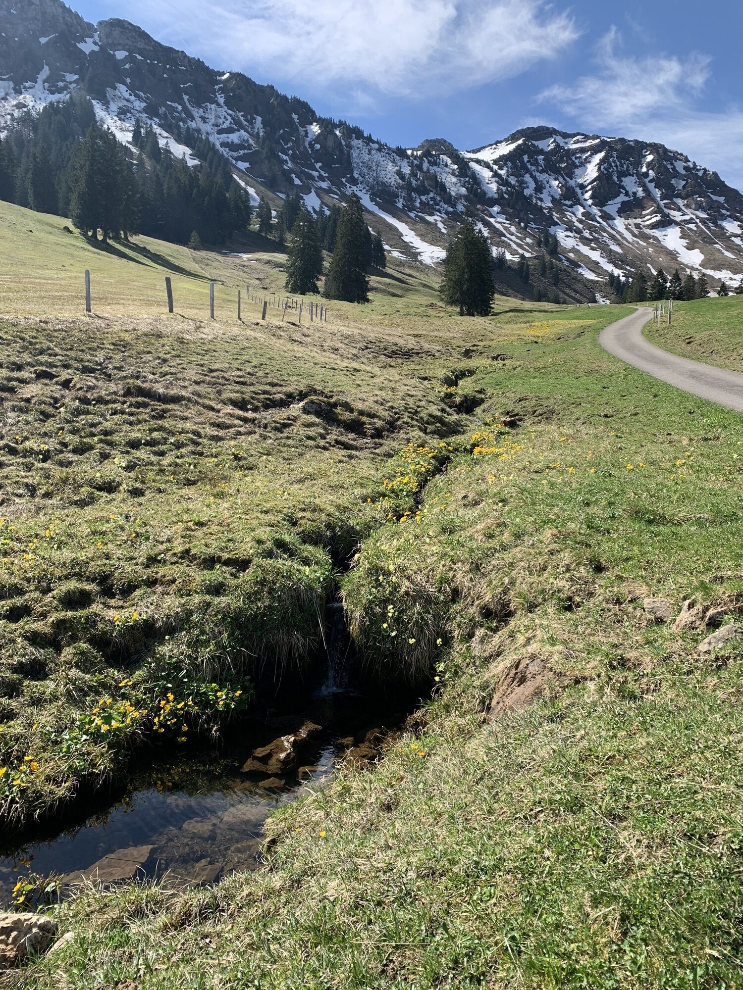
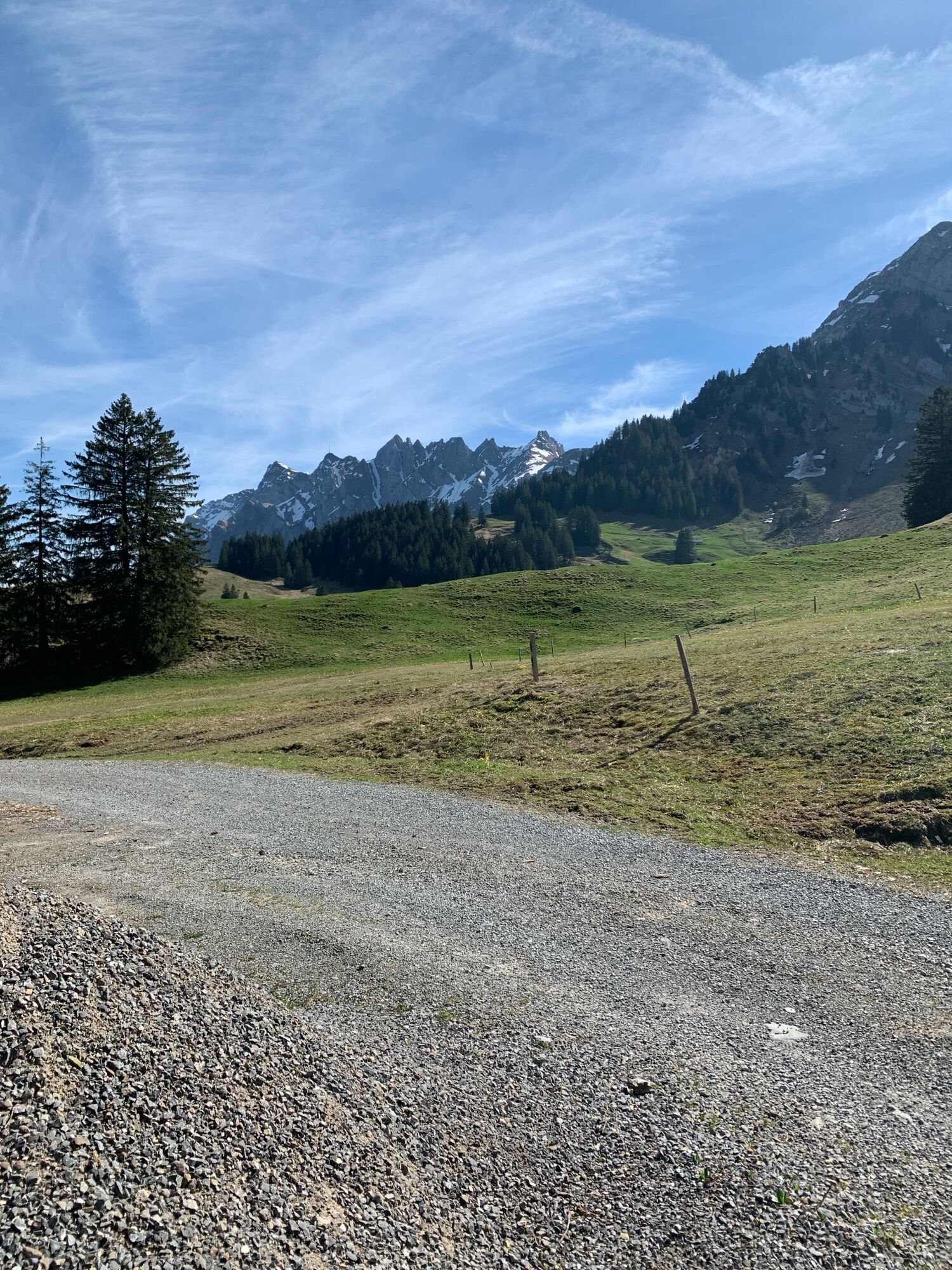
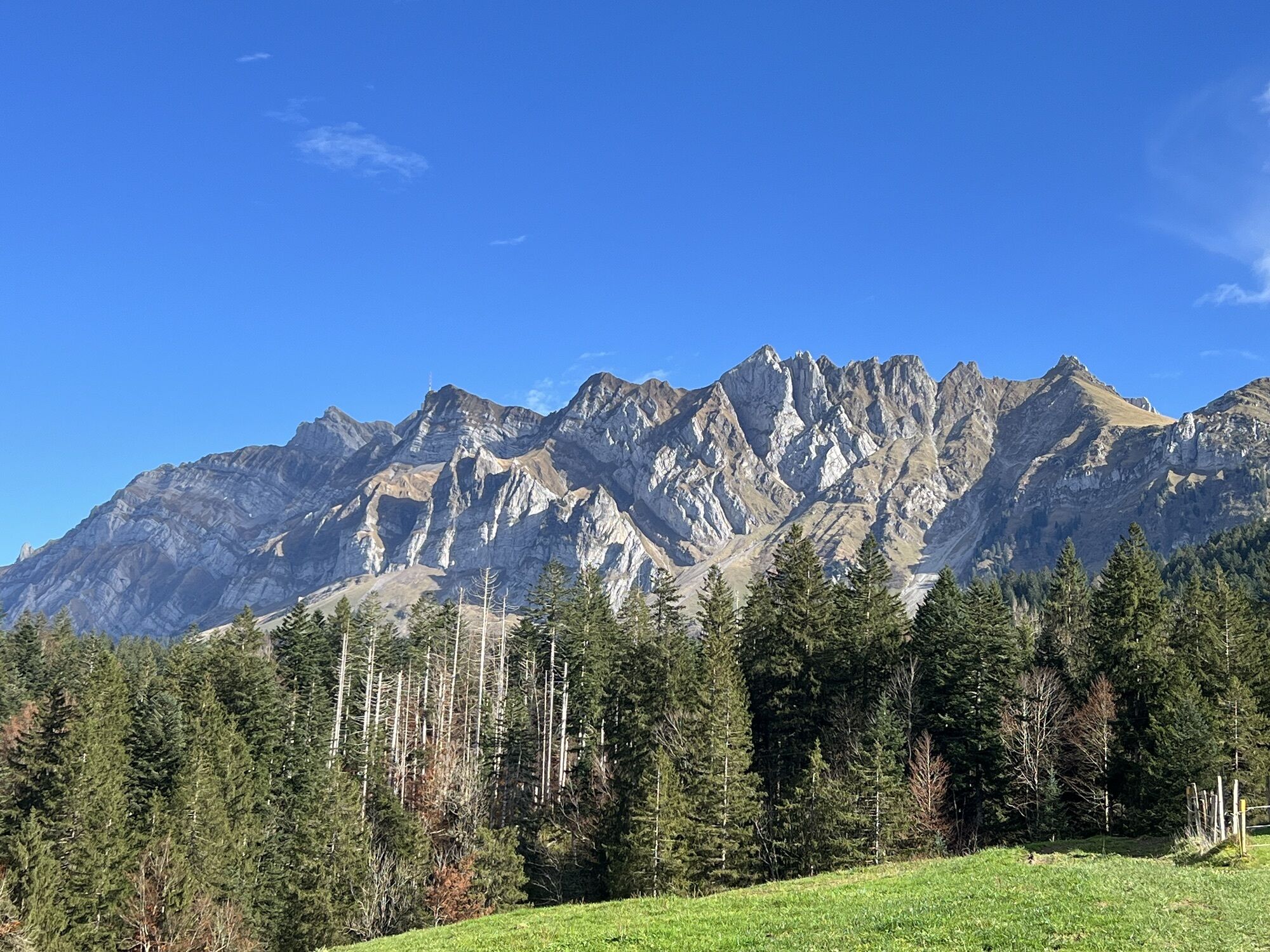
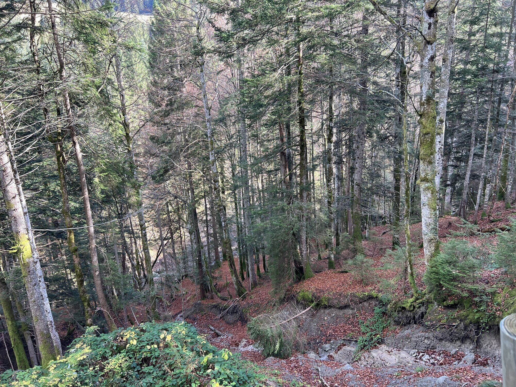
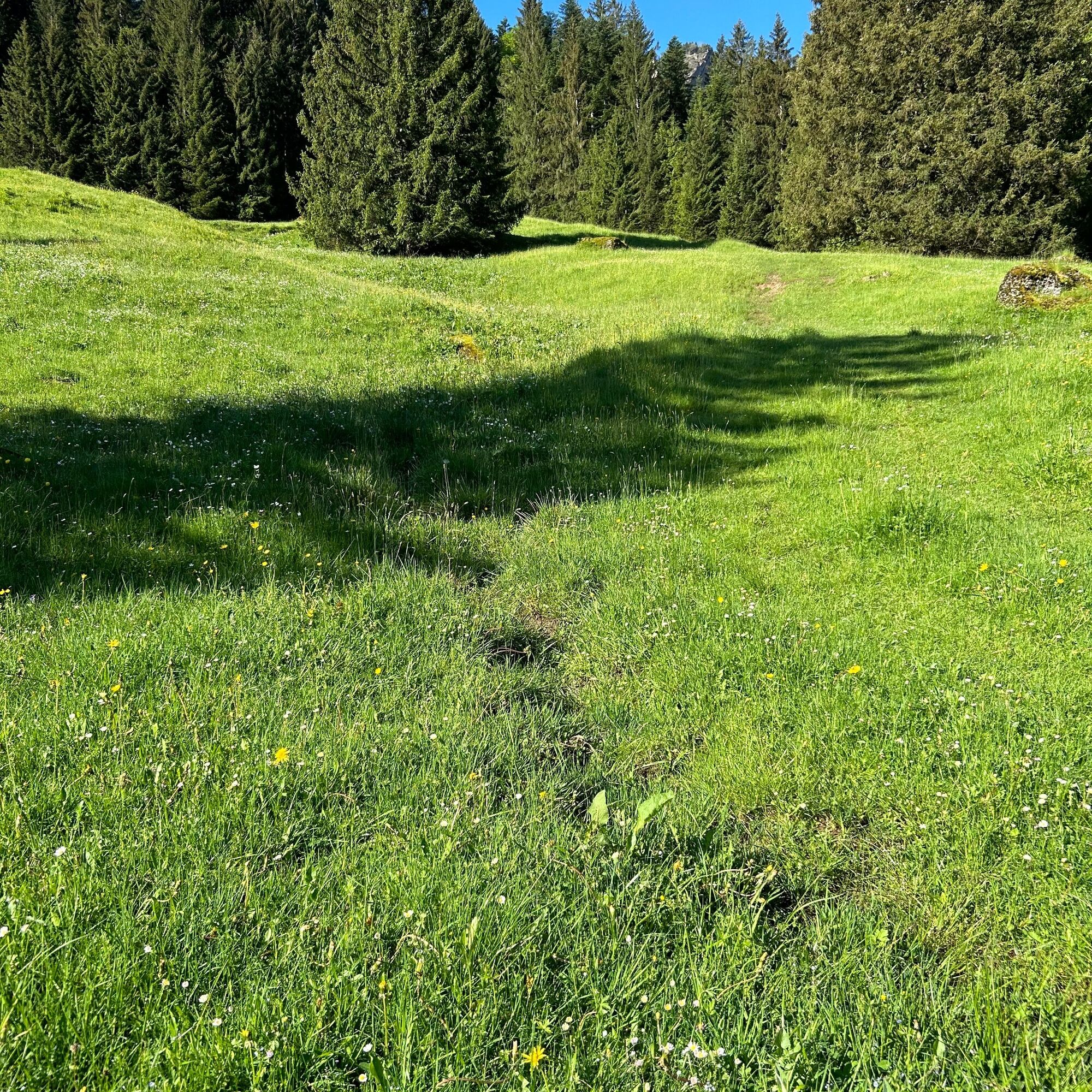
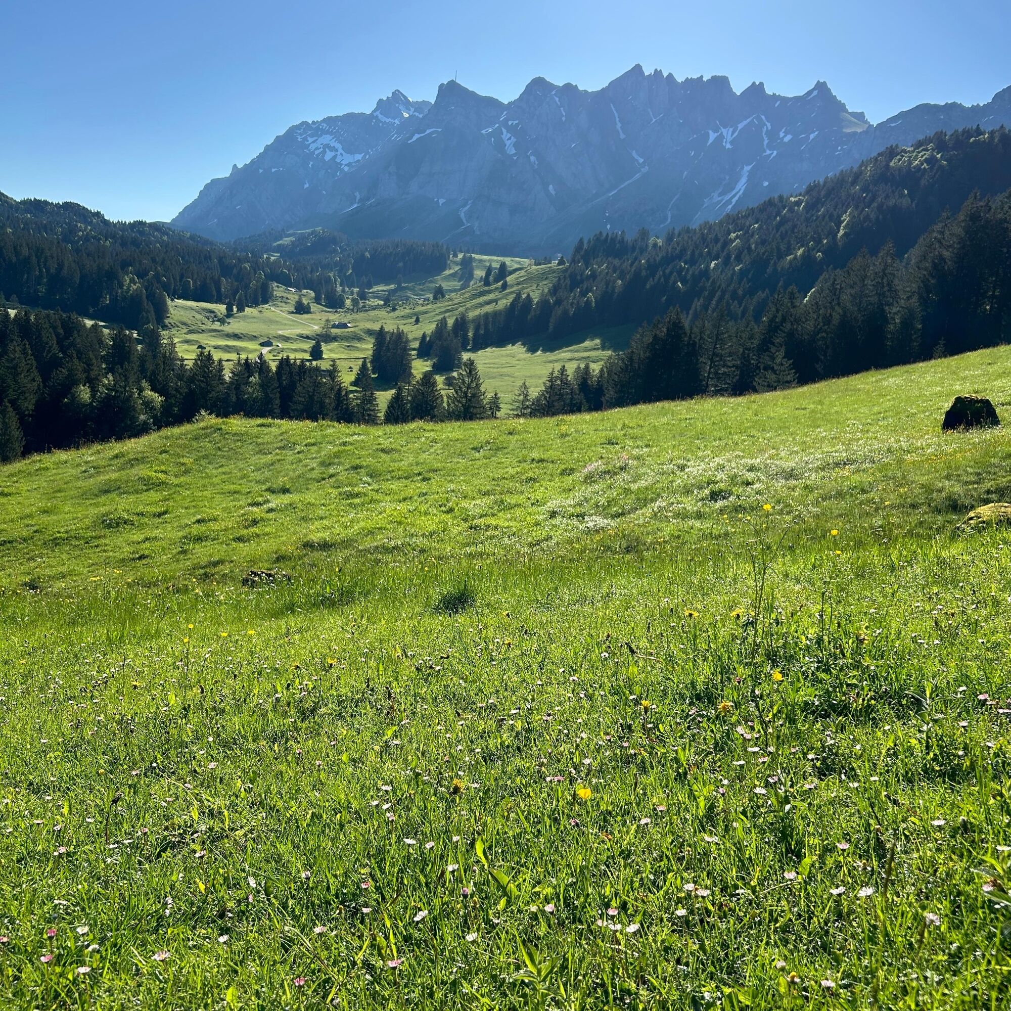
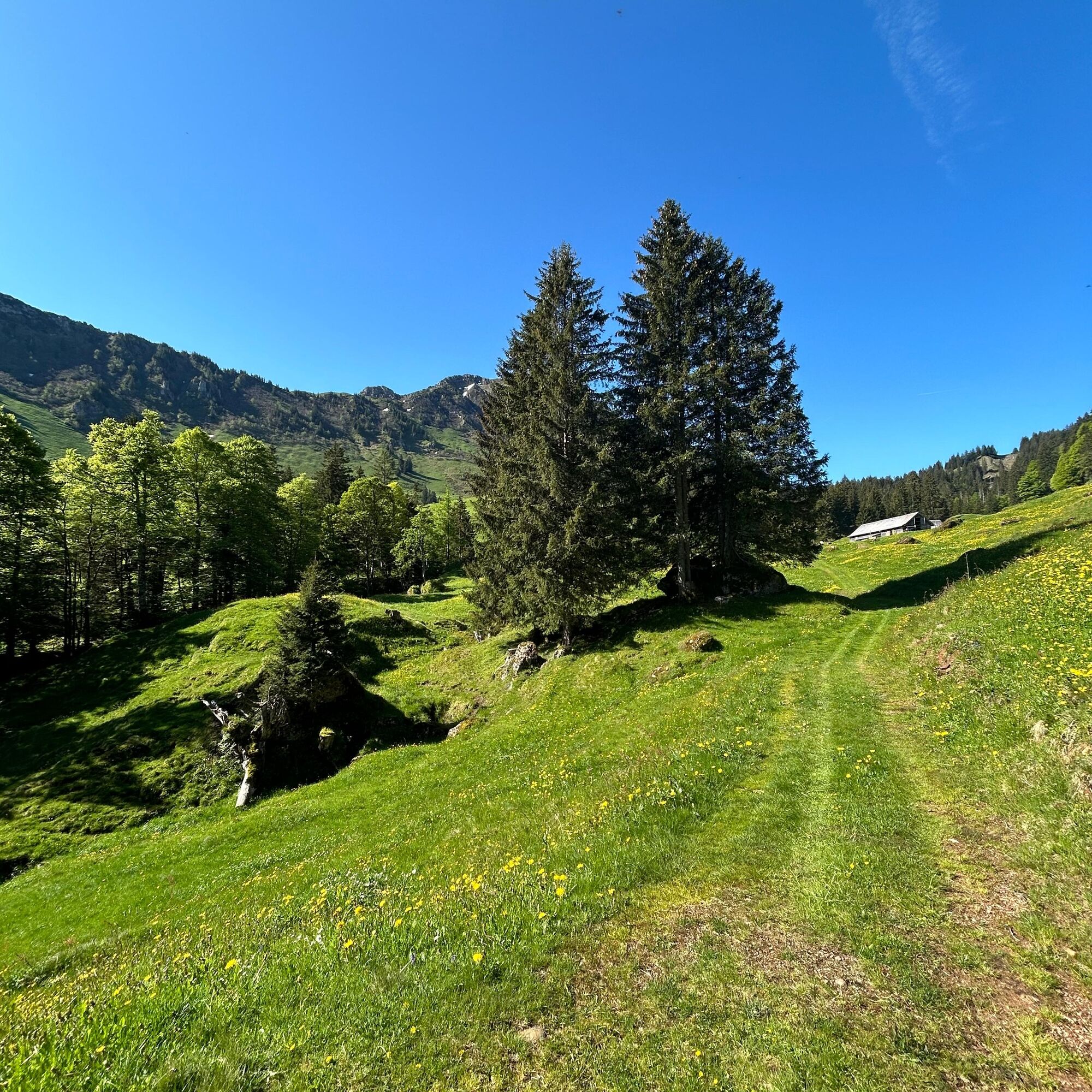
The circular hike from Bernhalden/Lutertannen leads via Latten, Glattdach to Langzimmer and from there past the foot of Chli Stockberg via Chatzenloch and forest back to the starting point. The path is...
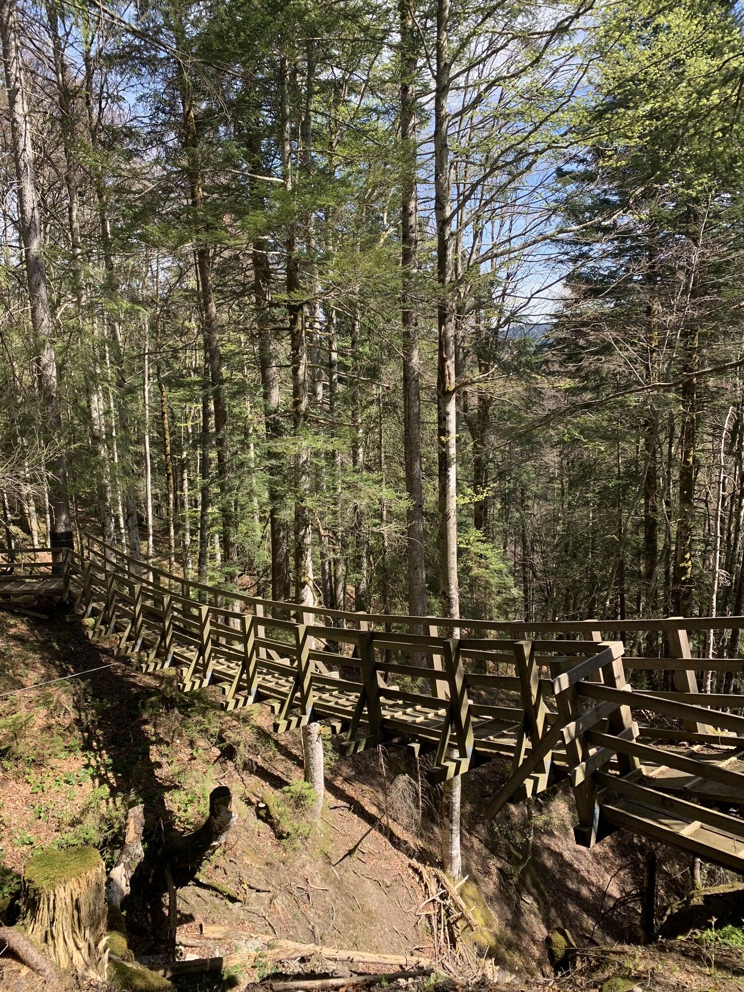
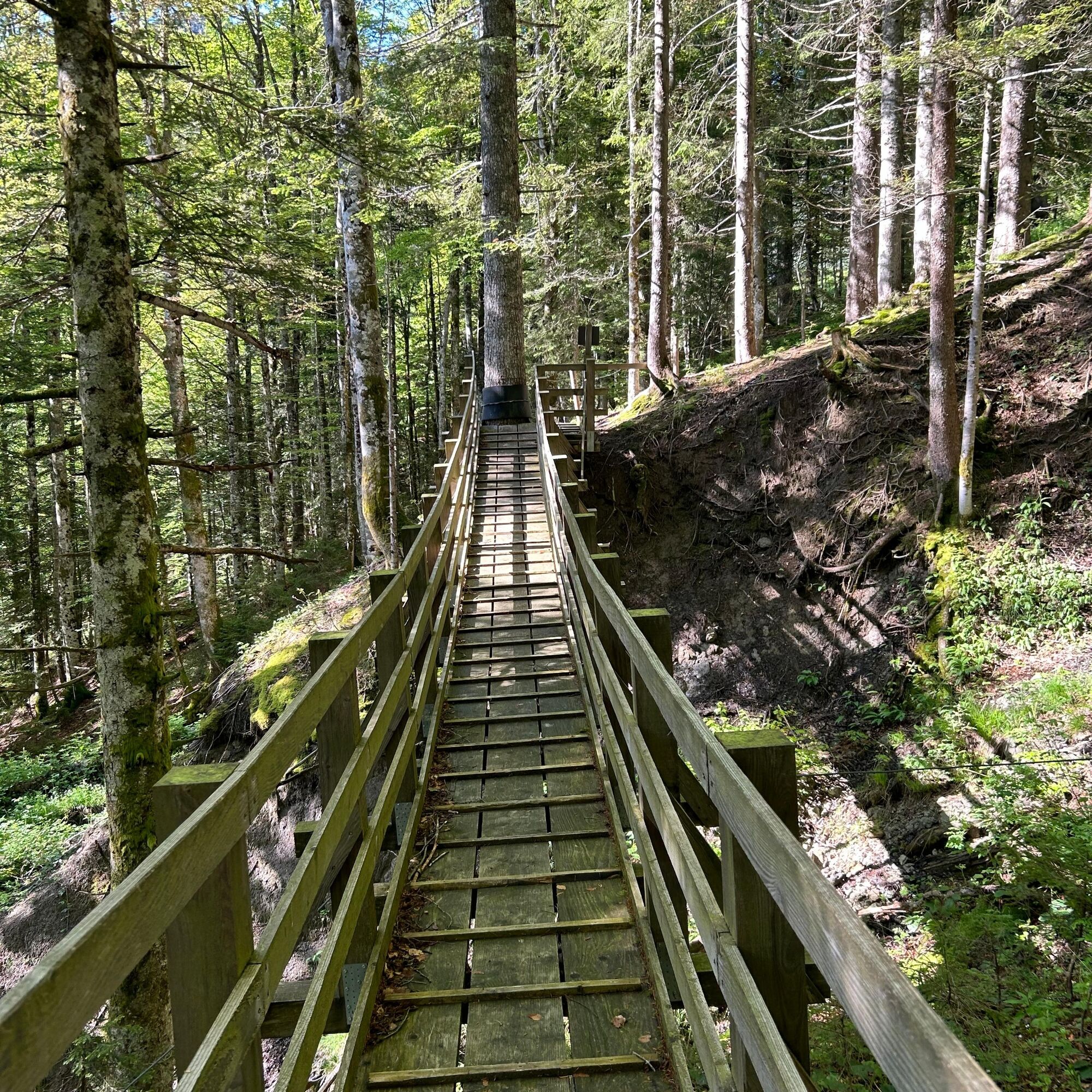
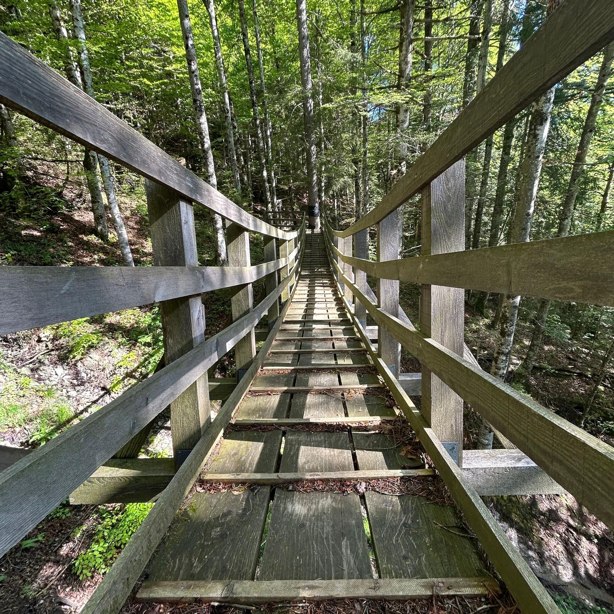
The highlight of the route is the first suspension bridge in the canton of St. Gallen. The bridge is 20 meters long, made of local larch wood, and crosses a small ravine in the forest. Crossing the structure turns into an exciting swinging ride for both younger and older hiking enthusiasts. You almost want to turn back and cross the bridge again.

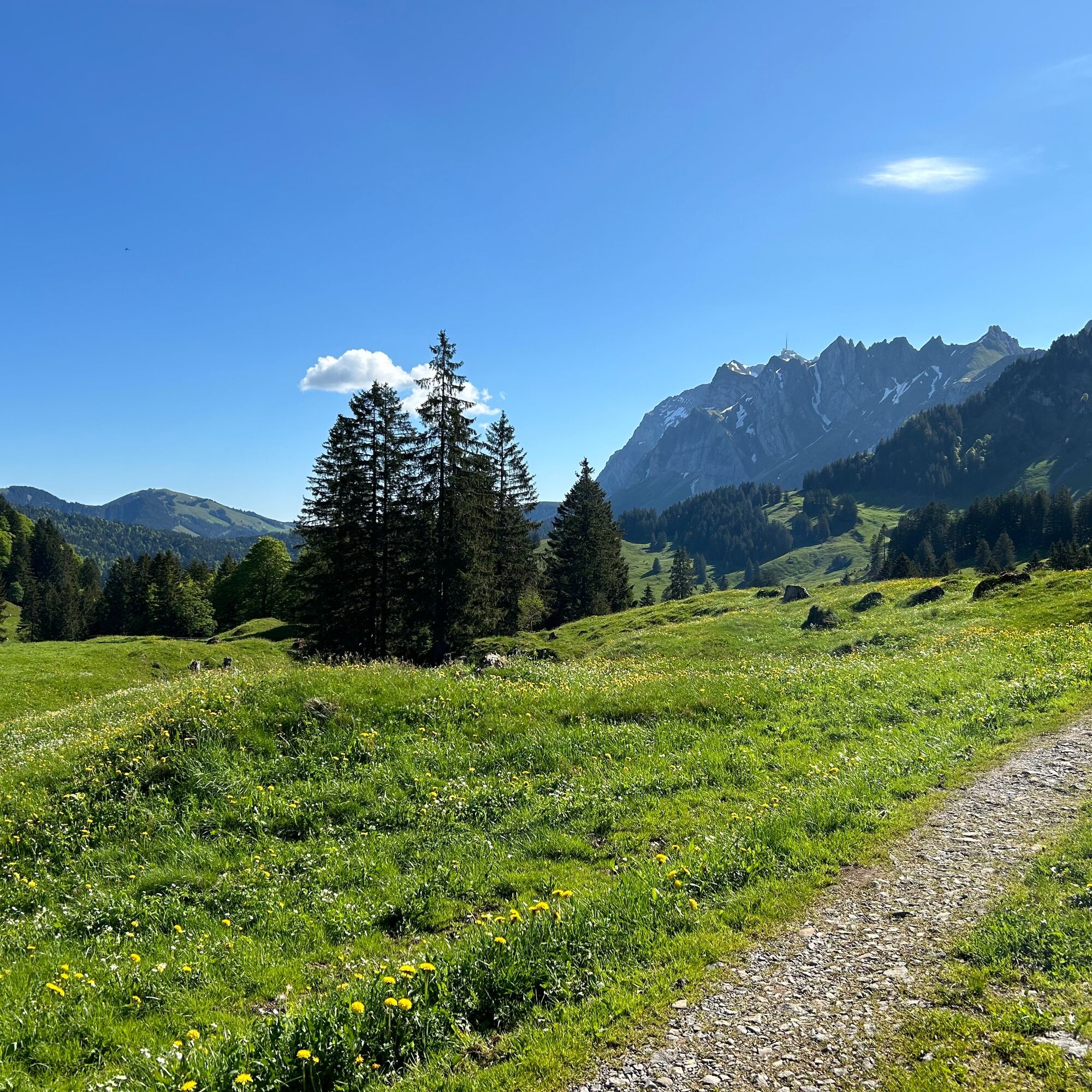
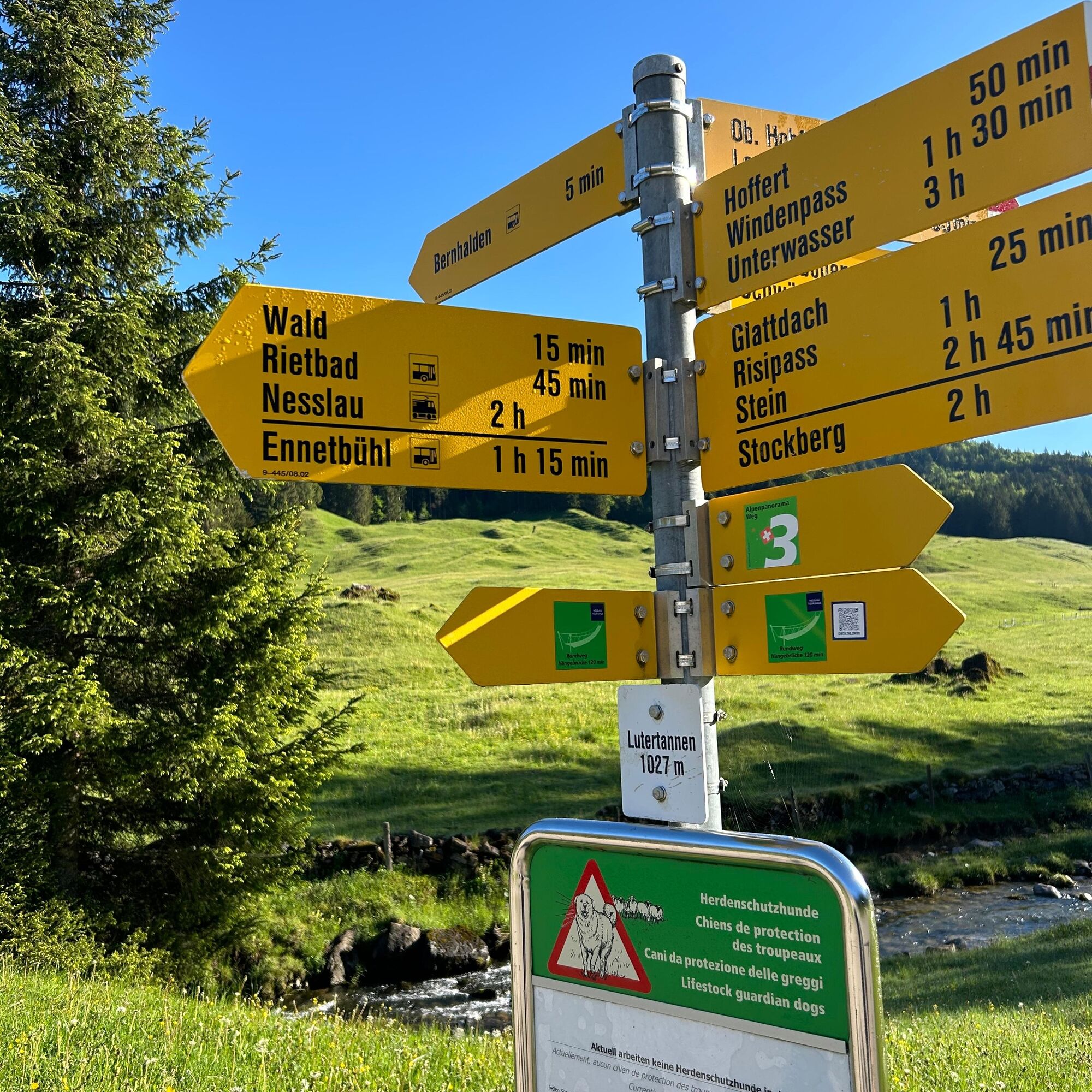
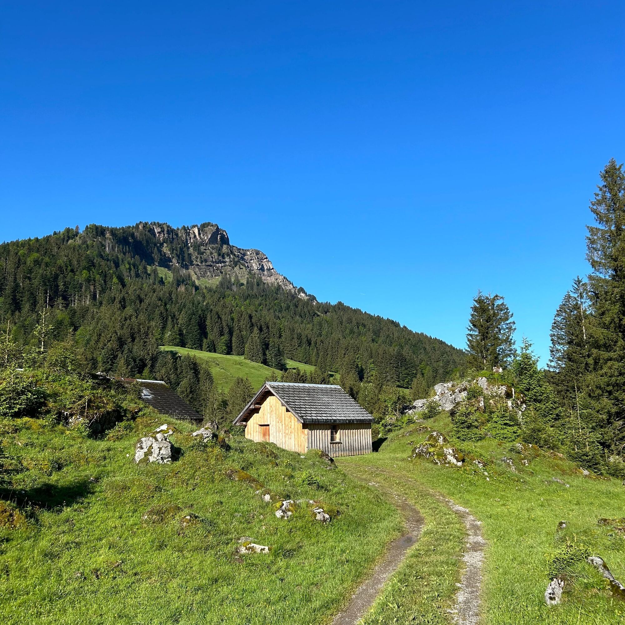


Bernhalden/Lutertannen - Latten - Glattdach - Langzimmer - Chli Stockberg - Chatzenloch - Forest - Bernhalden/Lutertannen
Ano
Light daypack (approx. 15 liters) with rain cover, comfortable footwear, weather-appropriate clothing, sun and rain protection, provisions and drinking water, first aid kit, pocket knife, mobile phone
The route is clearly signposted.
- From the greater Zurich area and Central Switzerland:
On the A3 near Reichenburg towards Rapperswil and then via the Ricken Pass to Nesslau.
- From Eastern Switzerland:
Drive from St. Gallen on the A1 to Wil, take the Toggenburg exit. Follow the main road to Nesslau.
- From Southern Germany:
Via Bregenz and St. Margrethen on the A13 to Haag and take the exit towards Toggenburg/Wildhaus. Or via Konstanz to Wil, then take the Toggenburg exit and follow the main road to Nesslau.
The Bernhalden stop is easily accessible by post bus from Nesslau station.
The post bus runs daily from Nesslau station via Bernhalden stop to the Schwägalp.
You can find exact timetables at https://www.sbb.ch/de.
Free parking is available at Nesslau station.
Toggenburg Tourism
Hauptstrasse 104
9658 Wildhaus
Tel. +41 71 999 99 11
info@toggenburg.swiss
The starting point Bernhalden/Lutertannen is easily accessible by post bus from Nesslau station or the Schwägalp.

 Získejte přehled
Vždy živě na místě s více než 9 500 webkamerami. bergfex Jako uživatel Pro si nyní můžete zobrazit odpovídající webové kamery pro mnoho prohlídek v aplikaci prohlídky z. Můžete si tak přímo prohlédnout aktuální podmínky.
Získejte přehled
Vždy živě na místě s více než 9 500 webkamerami. bergfex Jako uživatel Pro si nyní můžete zobrazit odpovídající webové kamery pro mnoho prohlídek v aplikaci prohlídky z. Můžete si tak přímo prohlédnout aktuální podmínky.
Oblíbené prohlídky v okolí
-
4.8
Walensee Riviera Weesen - Quinten
středníTuristika 10.2 km -
4.7
Riviera Lake Walen Walenstadt-Quinten
středníTuristika 10.4 km -
4.6
Weesen - Quinten - Walenstadt
heavyTuristika 20.6 km -
5.0
Staubern-Runde (15.8.2021)
středníTuristika 8.65 km -
4.9
Säntis-Gipfeltour, Wasserauen / Appenzell Innerrhoden
heavyTuristika 21.1 km -
4.7
Tour Brülisau - Saxerlücke - Hoherkasten⛰
heavyTuristika 16.6 km -
4.7
Wasserauen - Seealpsee - Wasserauen
středníTuristika 7.71 km -
4.6
Säntis
středníHorská turistika 17.5 km -
5.0
Schrina Alp and Cultural Trail
středníTematická stezka 11.5 km -
4.8
2 Seenwanderung Sämtisersee und Fälensee
středníTuristika 14.6 km
Pěší turistika a stopování


Nenechte si ujít nabídky a inspiraci pro vaši příští dovolenou
Vaše e-mailová adresa byl přidán do poštovního seznamu.





