


Thurweg
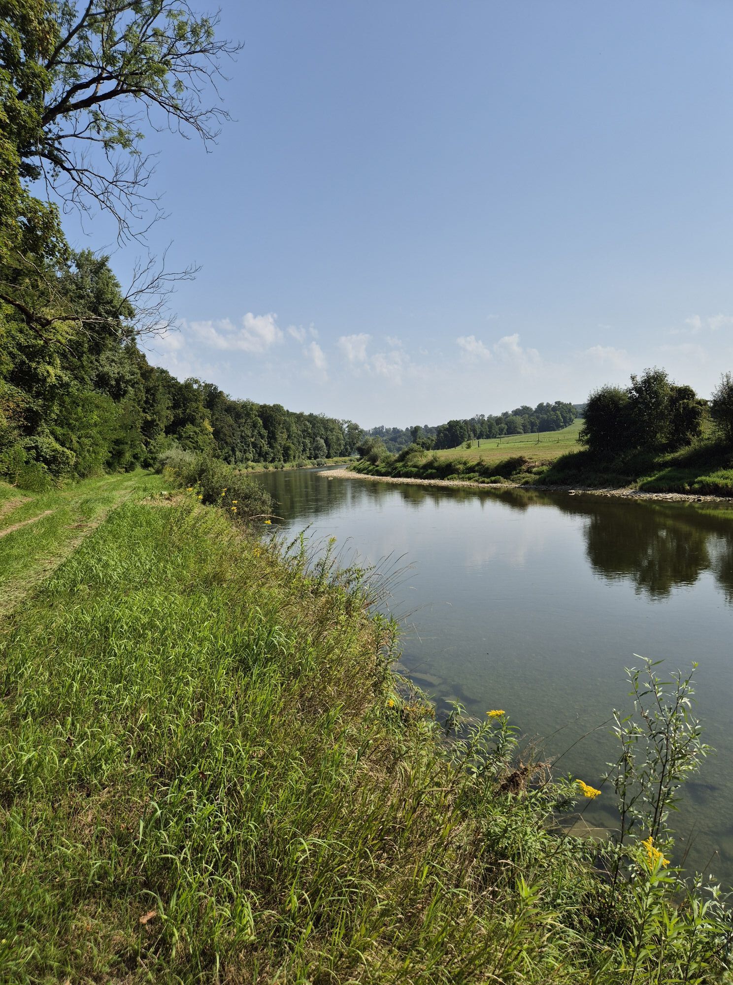
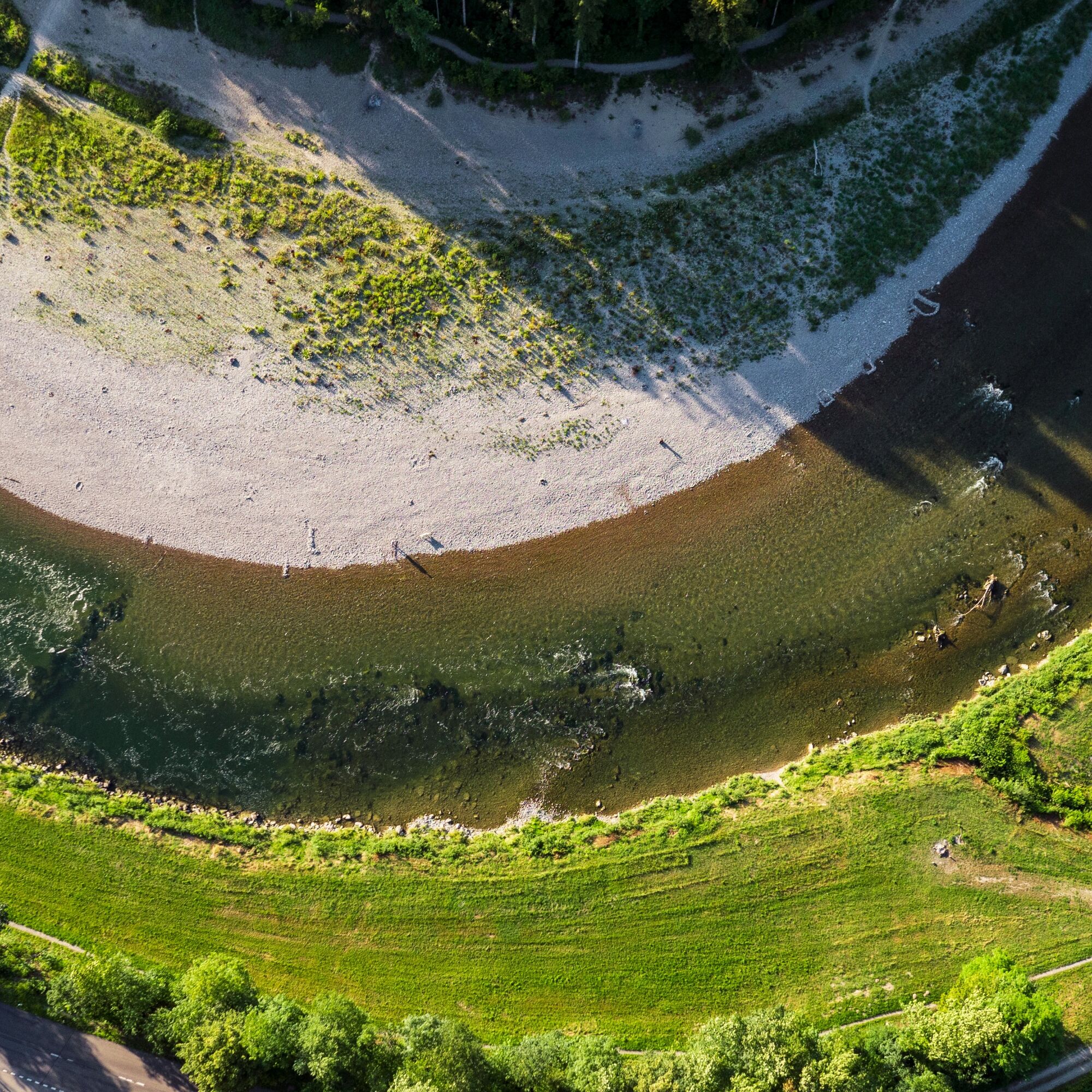
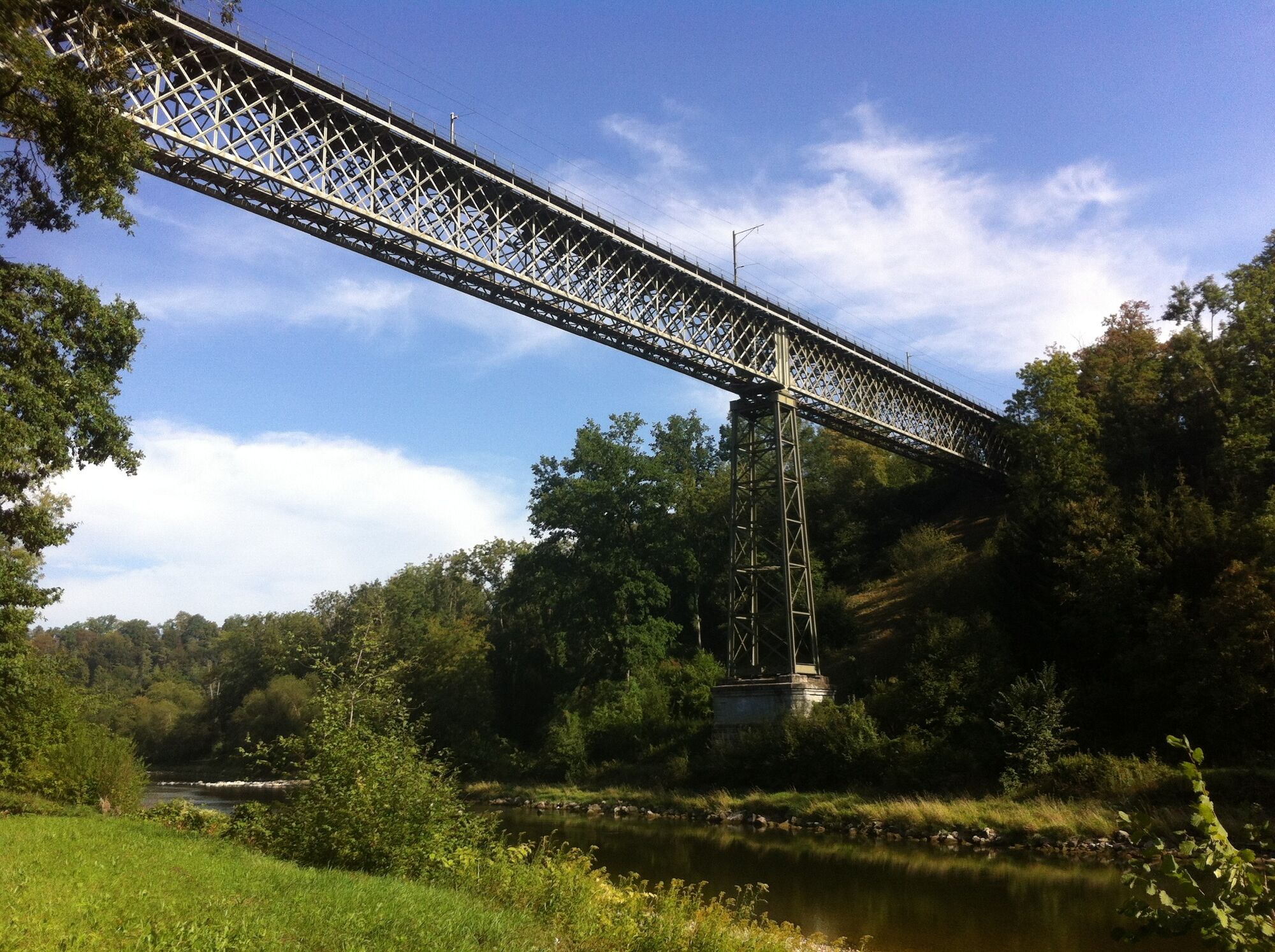
Through the renatured Frauenfeld Murgauen Park you reach the Thur. After a detour to the Ittingen Charterhouse, the path follows the river again. From the hamlet of Fahrhof, the straightened river course...
Through the renatured Frauenfeld Murgauen Park you reach the Thur. After a detour to the Ittingen Charterhouse, the path follows the river again. From the hamlet of Fahrhof, the straightened river course gives way to a natural, meandering Thur.
Along the Thurweg
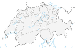
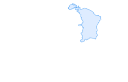
The route follows the Thur from its source at Säntis, through the diverse landscapes of Toggenburg, into the expanses of the Thur Valley to the Zurich wine region, where the Thur flows into the Rhine.
Further information on the Thurweg and this stage can also be found on the website of SchweizMobil


Oblíbené prohlídky v okolí
-
4.8
Flaach - Ellikon - Flaach
Turistika 12.0 km -
4.8
Rundwanderweg Rheinau
světloTuristika 6.85 km -
Stein am Rhein - Hohenklingen Castle - Stein am Rhein
středníTuristika 7.79 km -
4.5
Circular hiking trail from Mammern on Lake Constance to the Neuburg ruins
světloTuristika 6.73 km -
SchweizMobil 2: Rhine Route stage 6 (Kreuzlingen - Schaffhausen)
středníJízda na kole 47.0 km -
Stein am Rhein - Wolkenstein - Hohenklingen Castle
Turistika 8.91 km -
"Hegauer Kegelspiel" Grenzgänger
světloTuristika 12.6 km -
Stein am Rhein – Schaffhausen round route
středníJízda na kole 39.9 km -
Wangener Bänkleweg 2 West
středníTuristika 7.54 km -
5.0
Höri Experience Path Wangen - Hemmenhofen (return by boat)
středníTuristika 9.53 km
Pěší turistika a stopování


Nenechte si ujít nabídky a inspiraci pro vaši příští dovolenou
Vaše e-mailová adresa byl přidán do poštovního seznamu.