






Mountain hike from Nesslau to the Speer
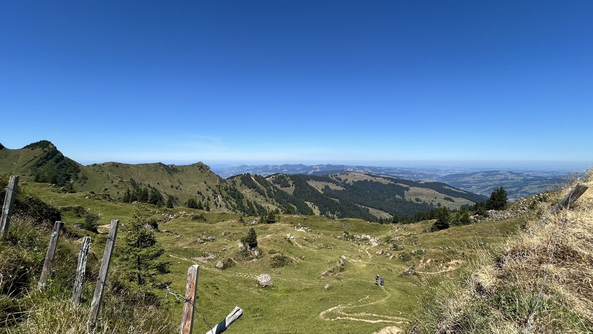
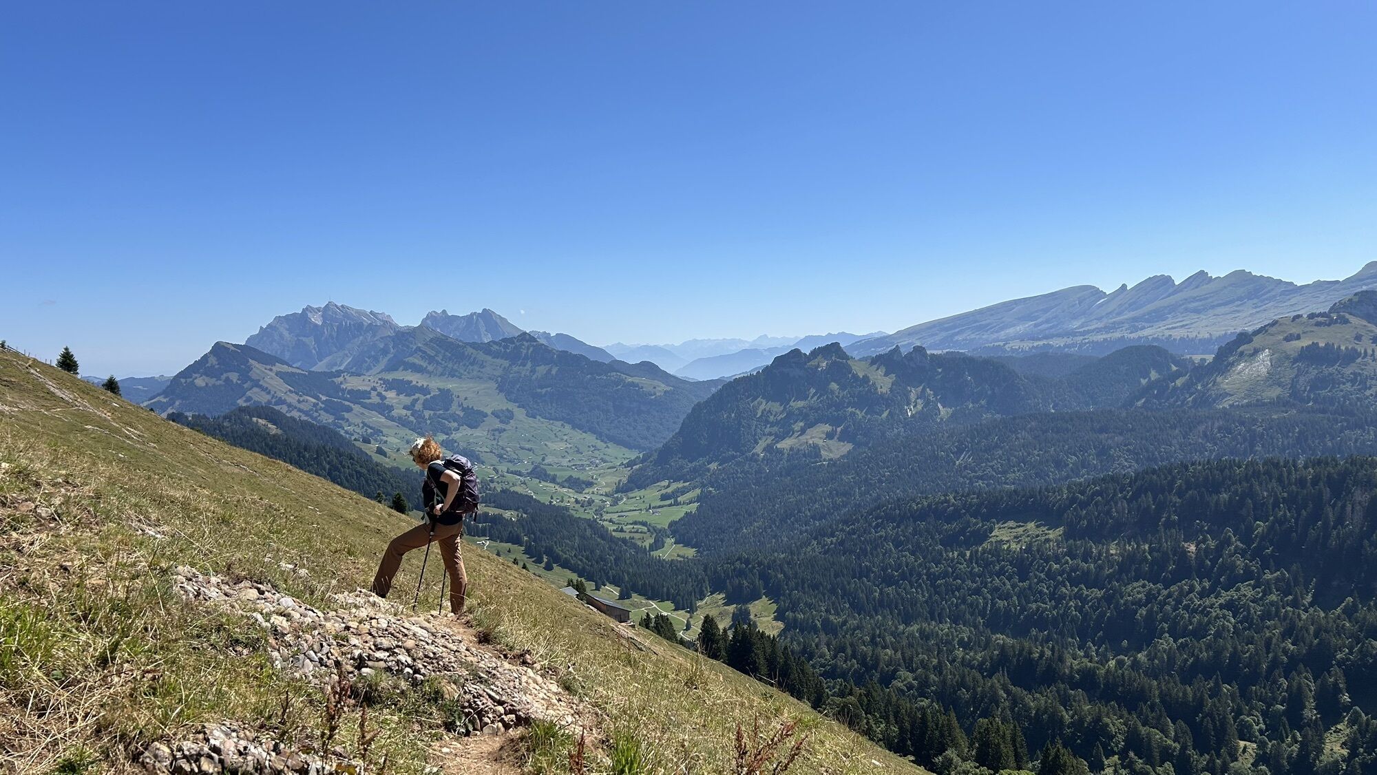
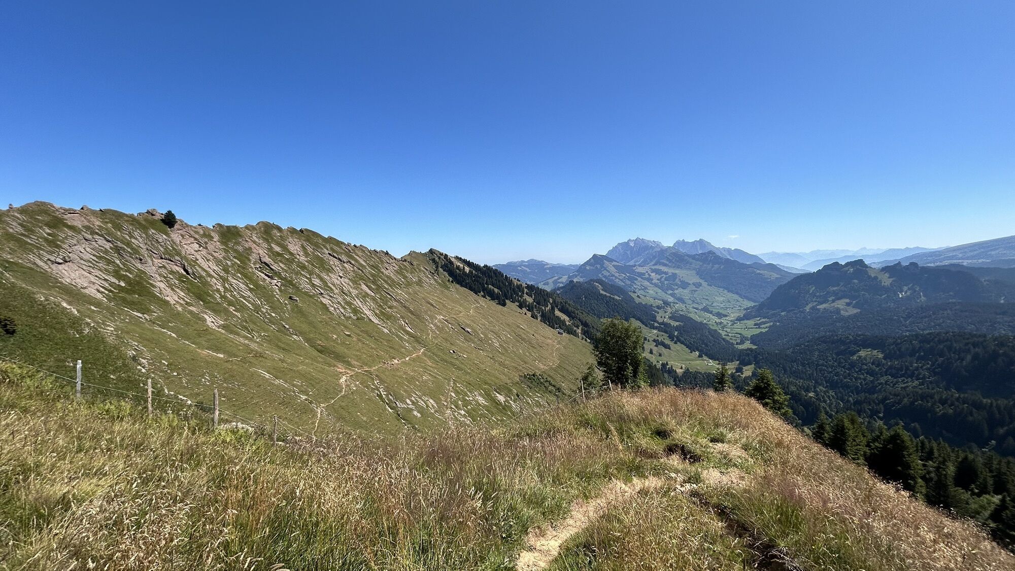
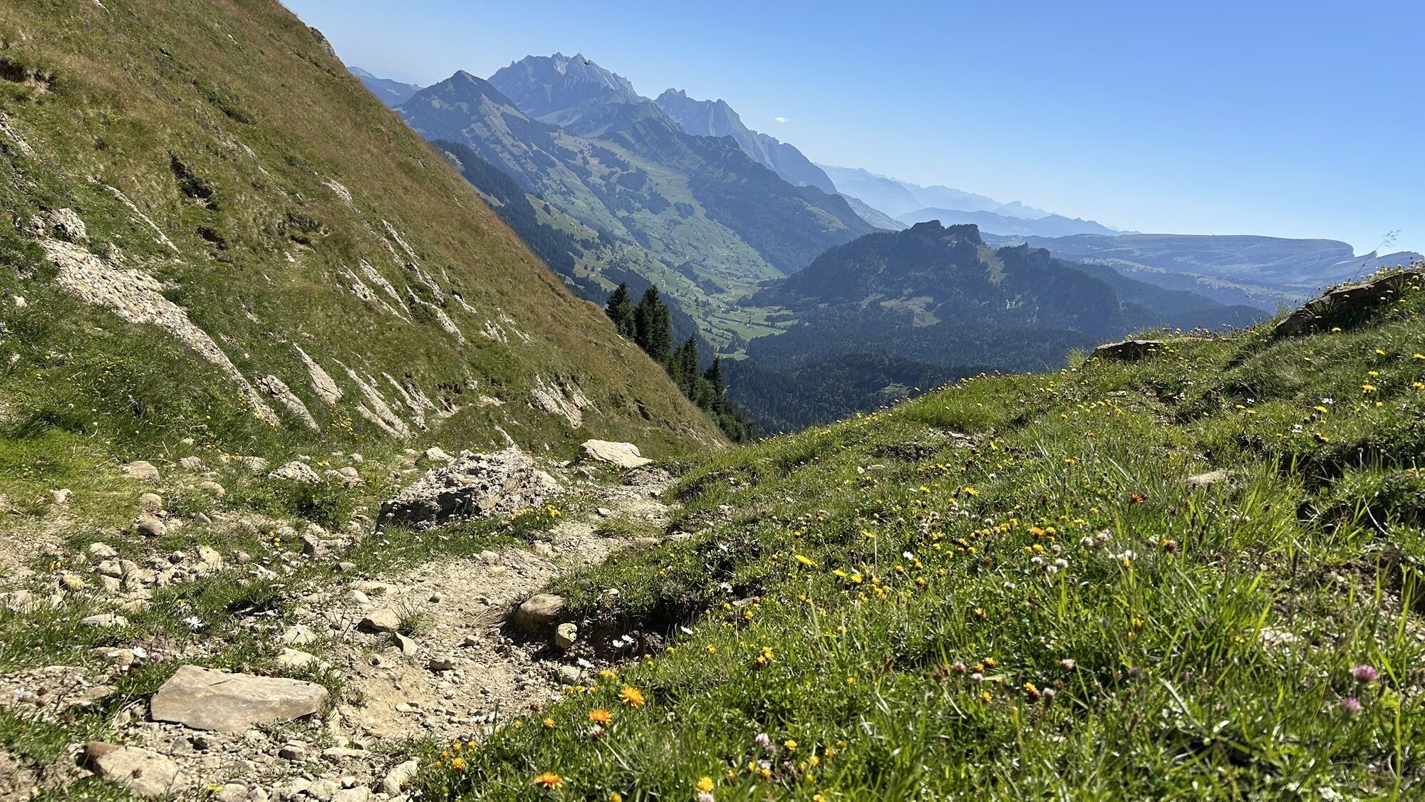
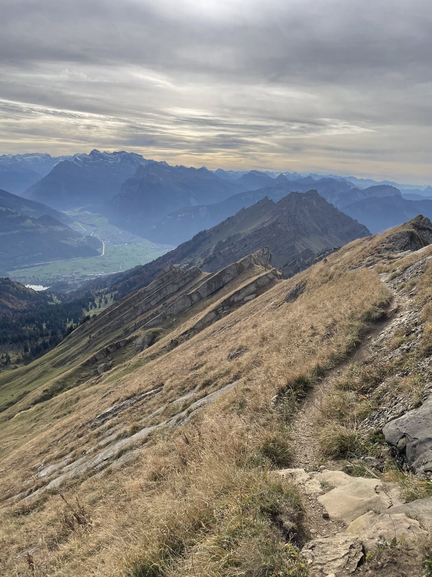
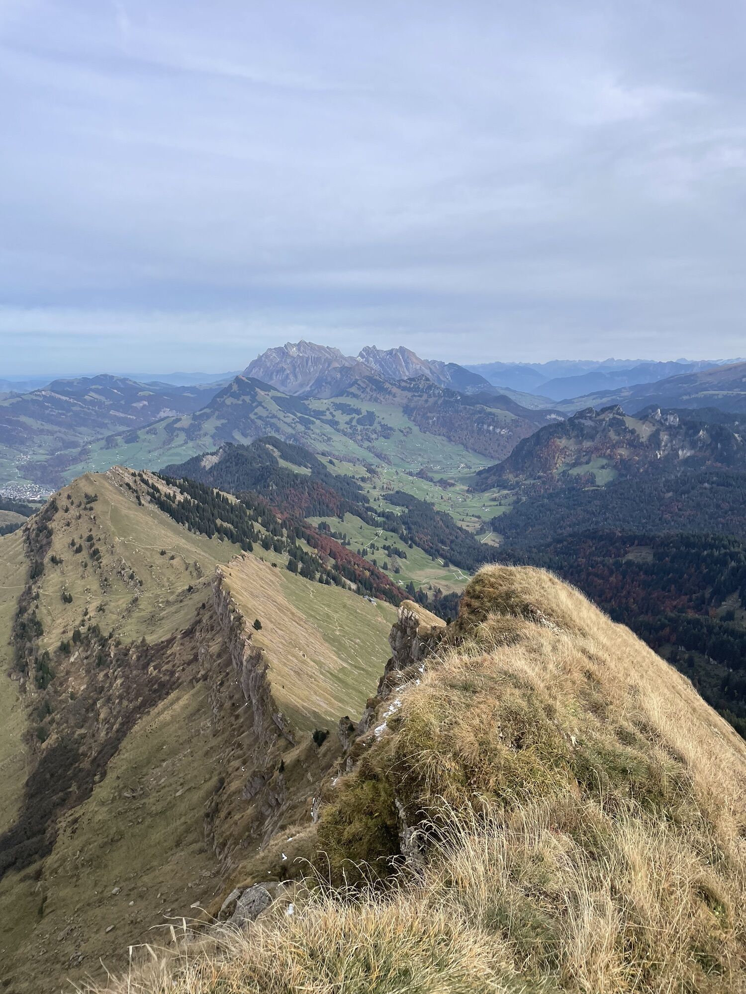

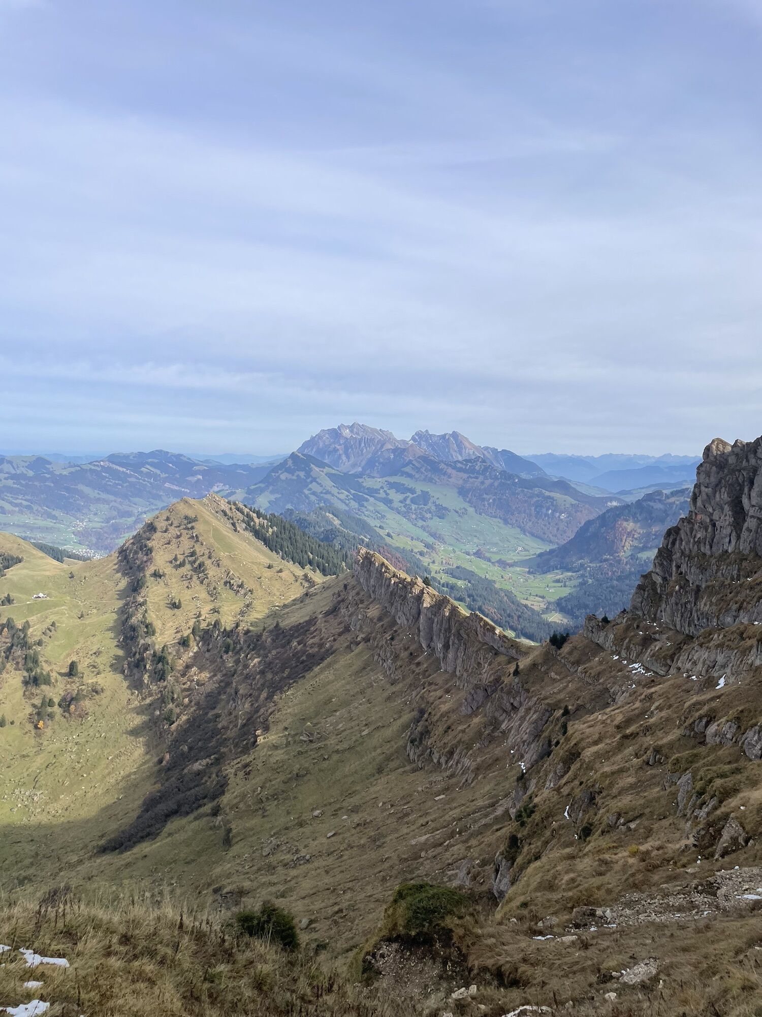
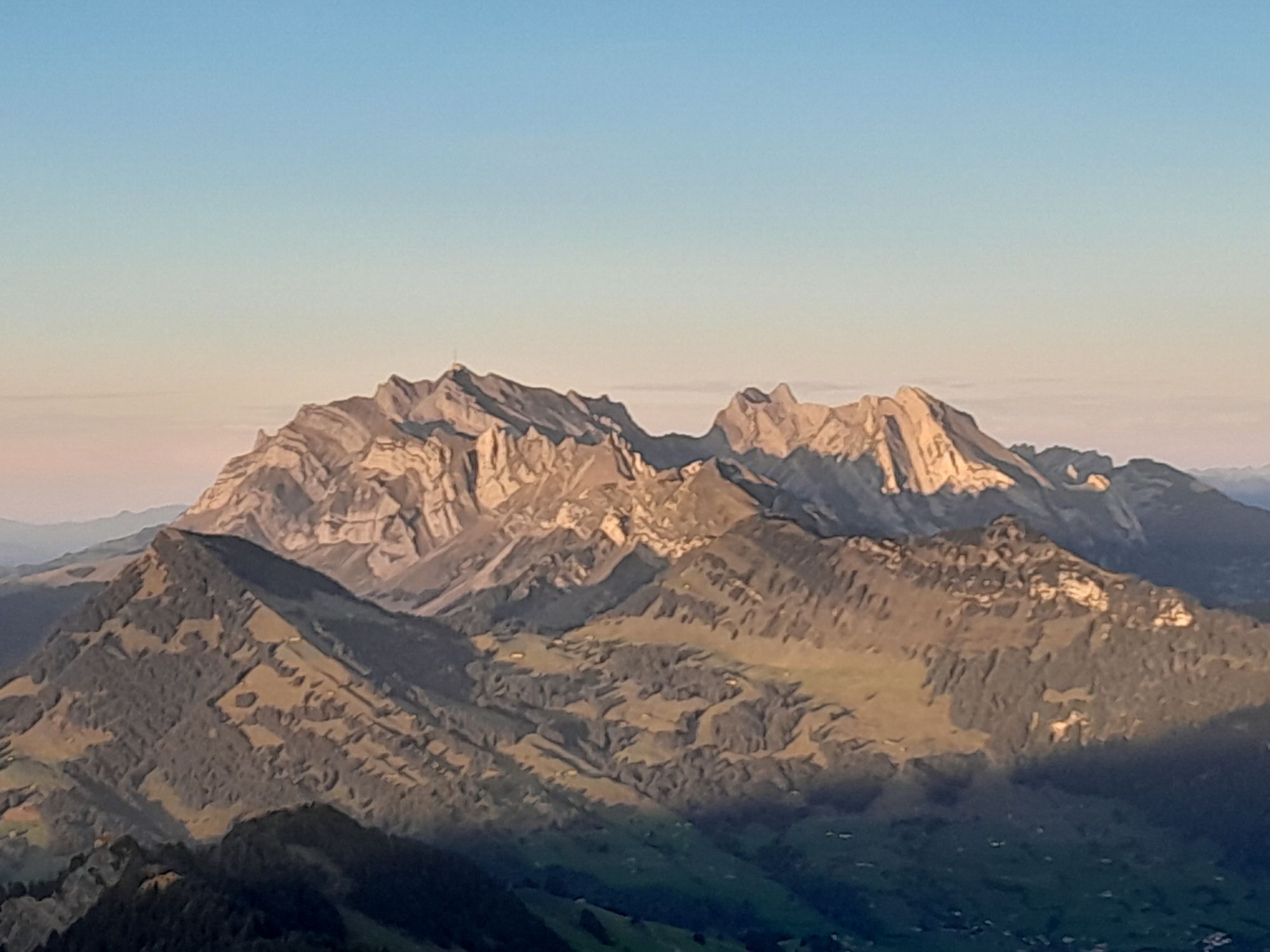
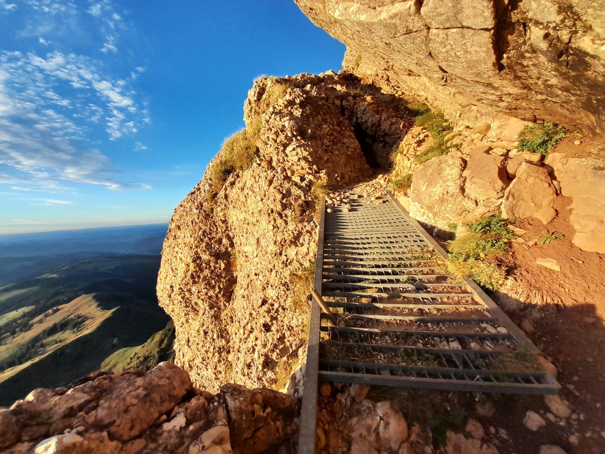
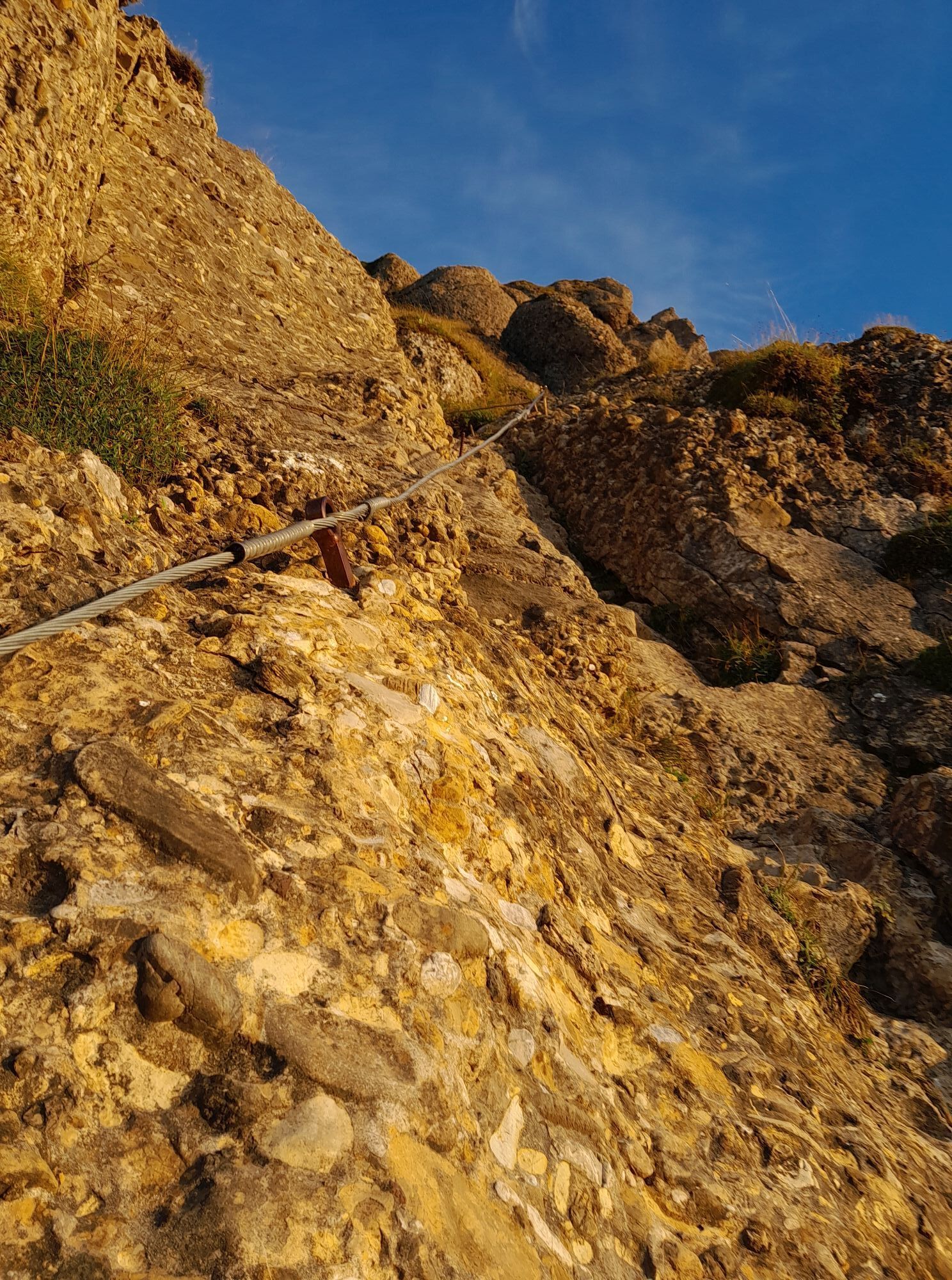
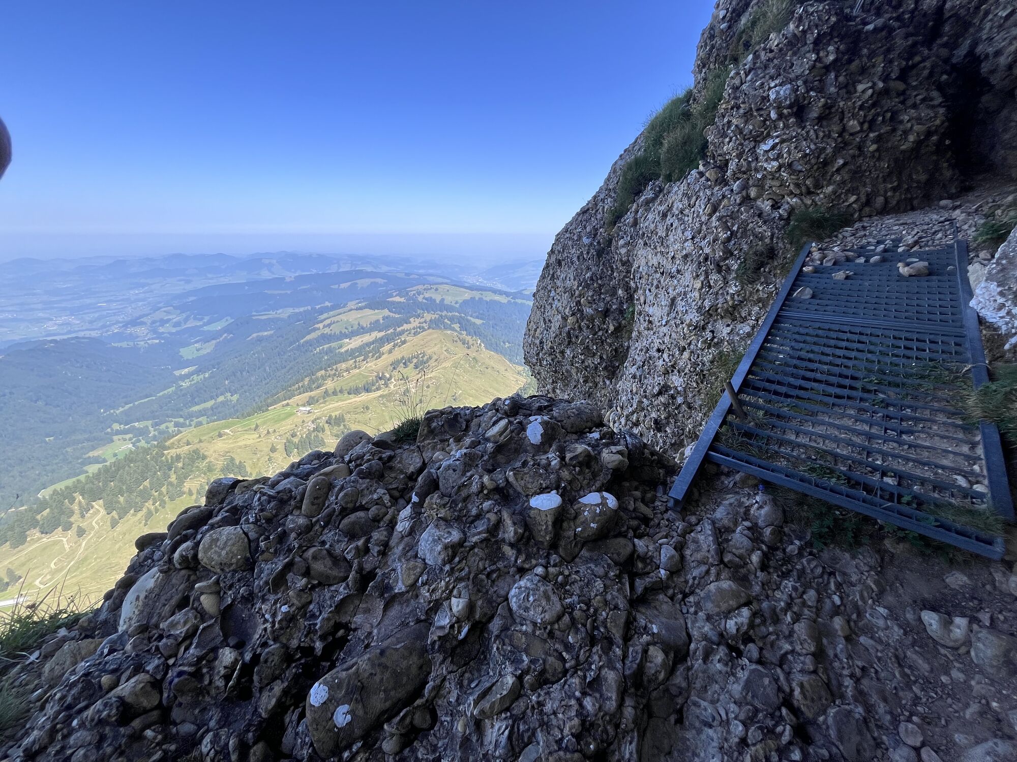
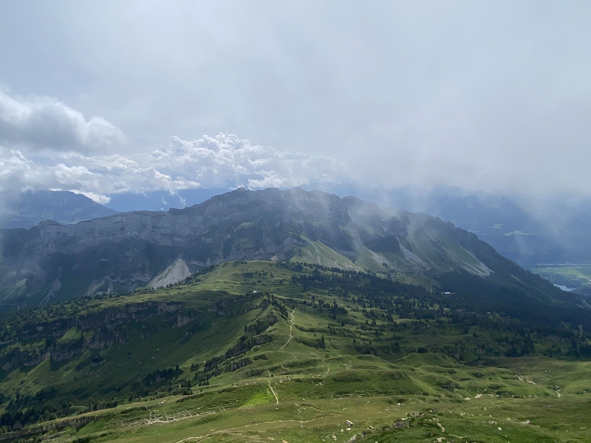
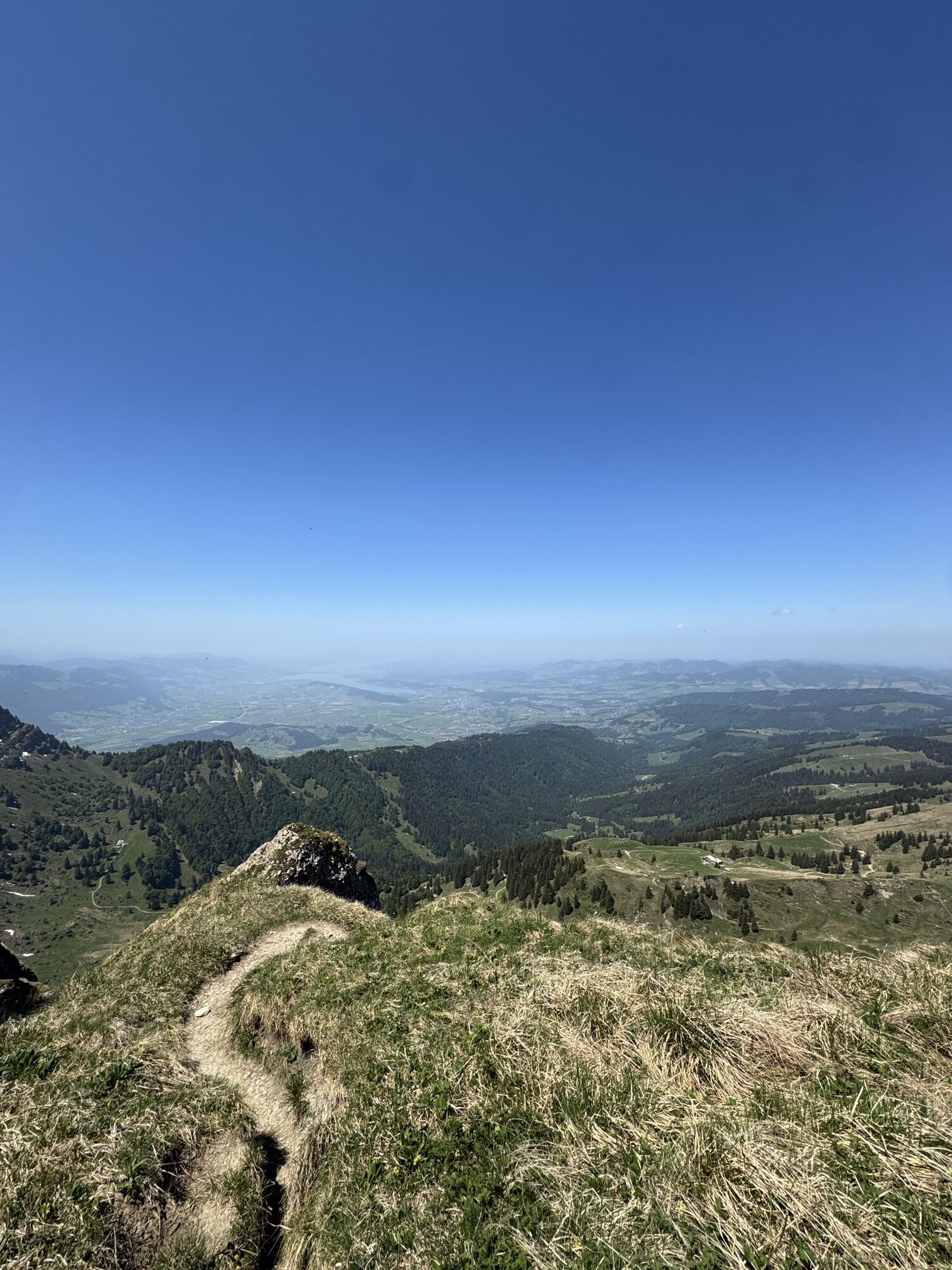
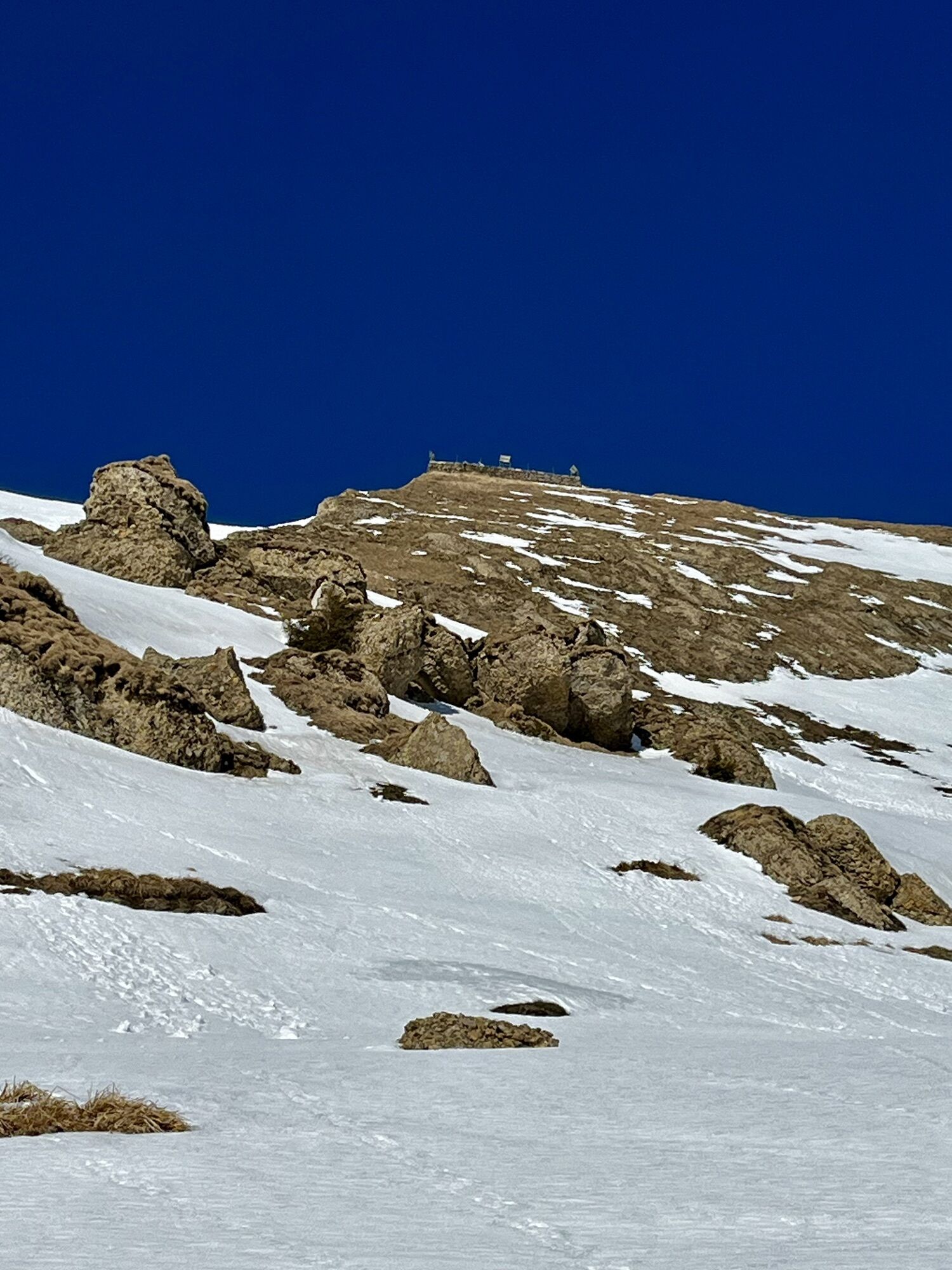
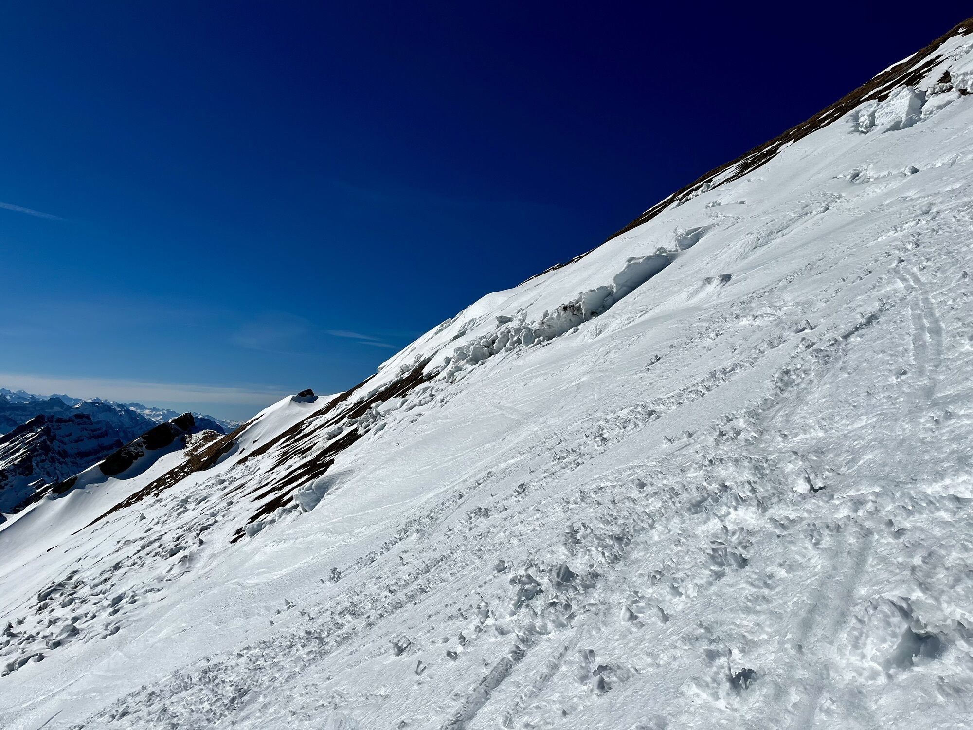
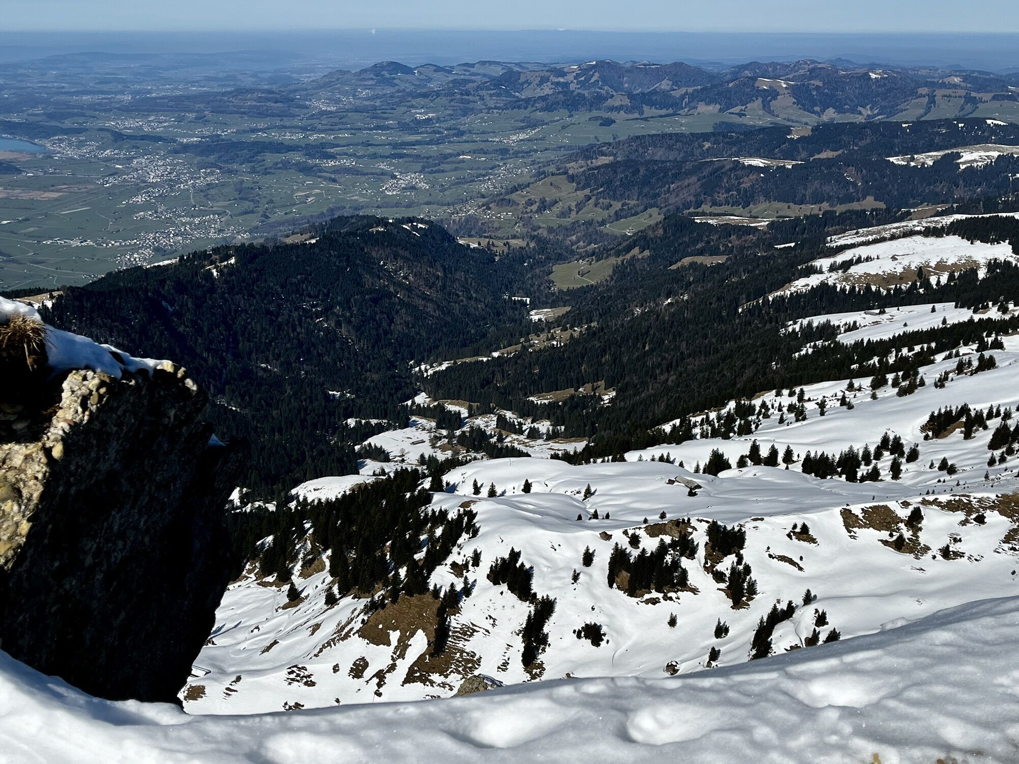
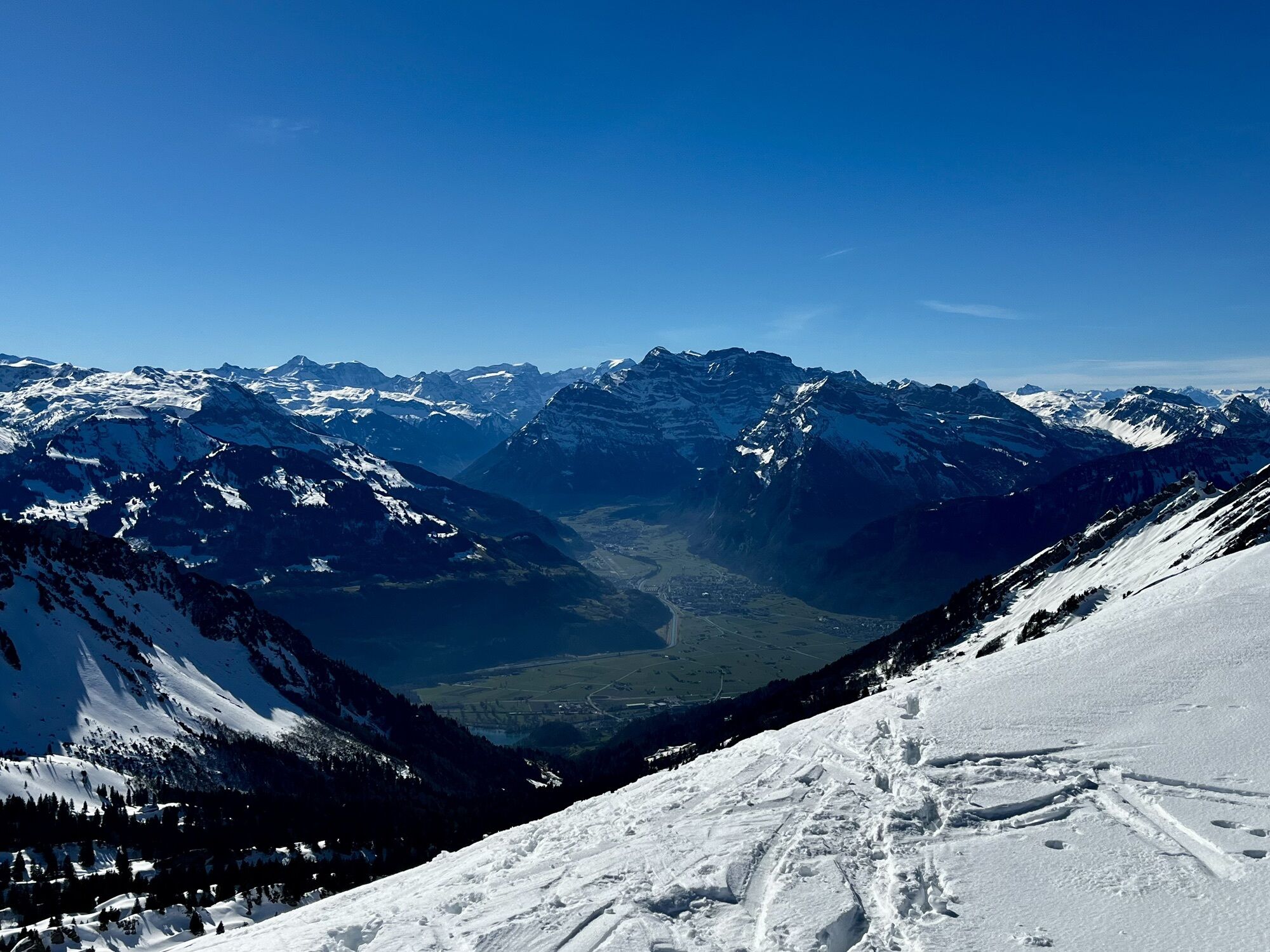
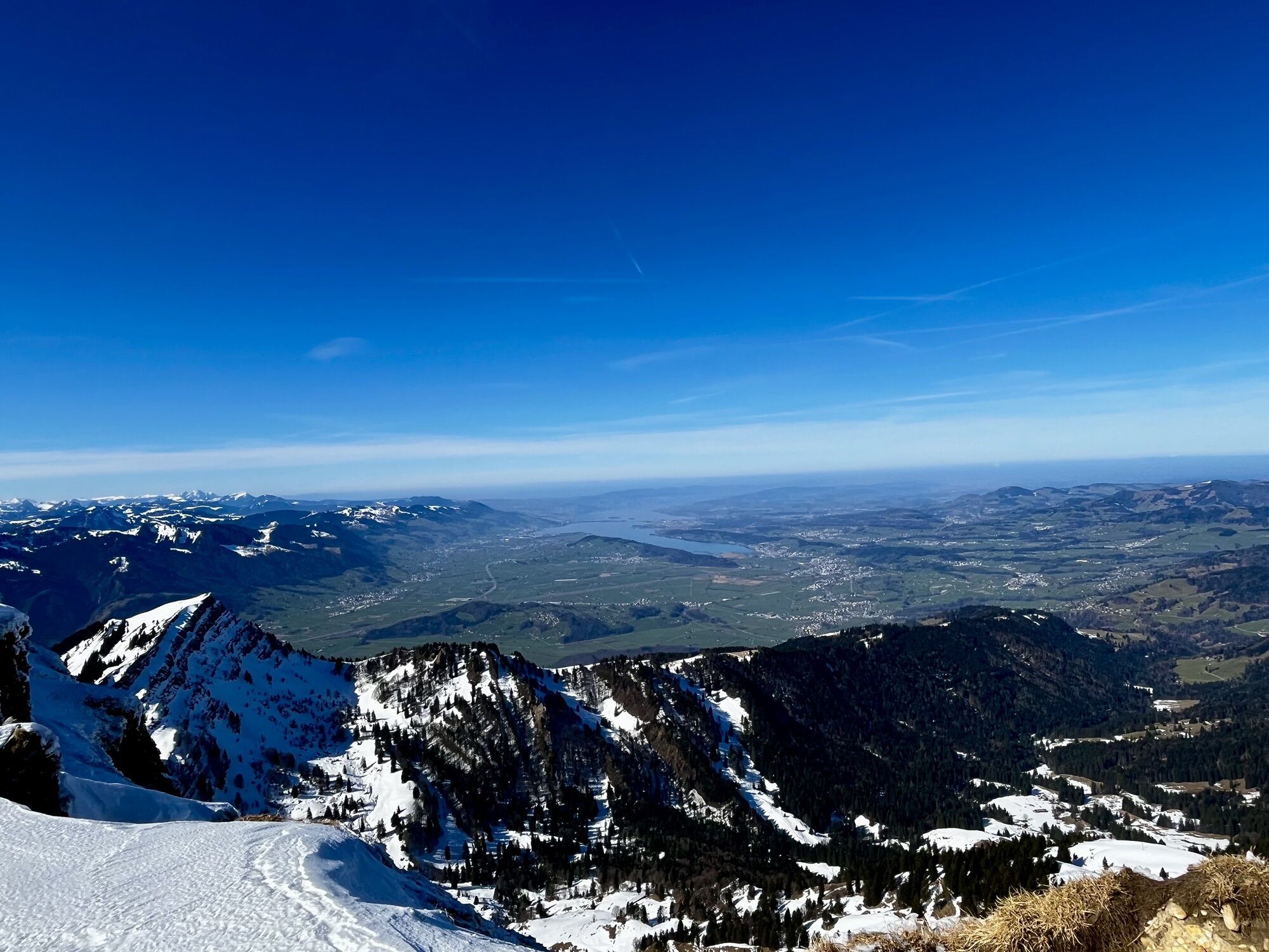
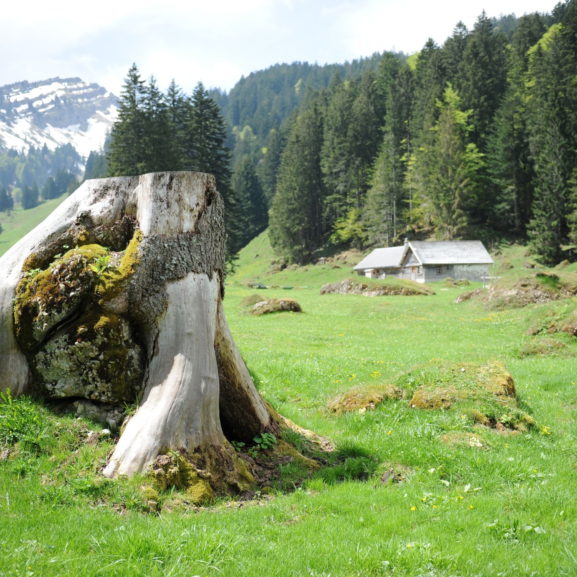
This mountain hike leads through varied landscapes. Quickly you find yourself away from the bustle in peaceful nature, sometimes on a pasture, sometimes in the forest, sometimes in the species-rich fen....
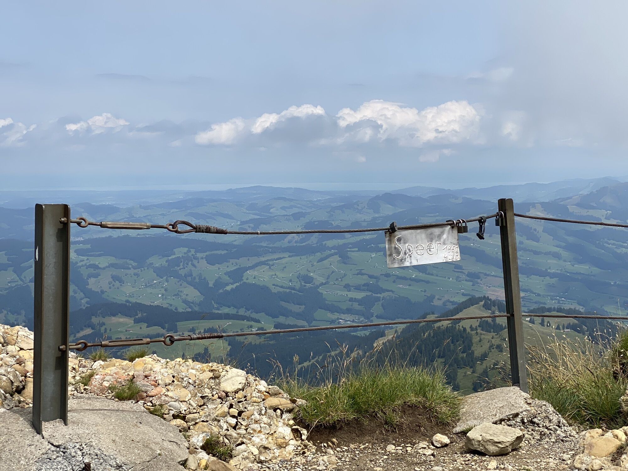
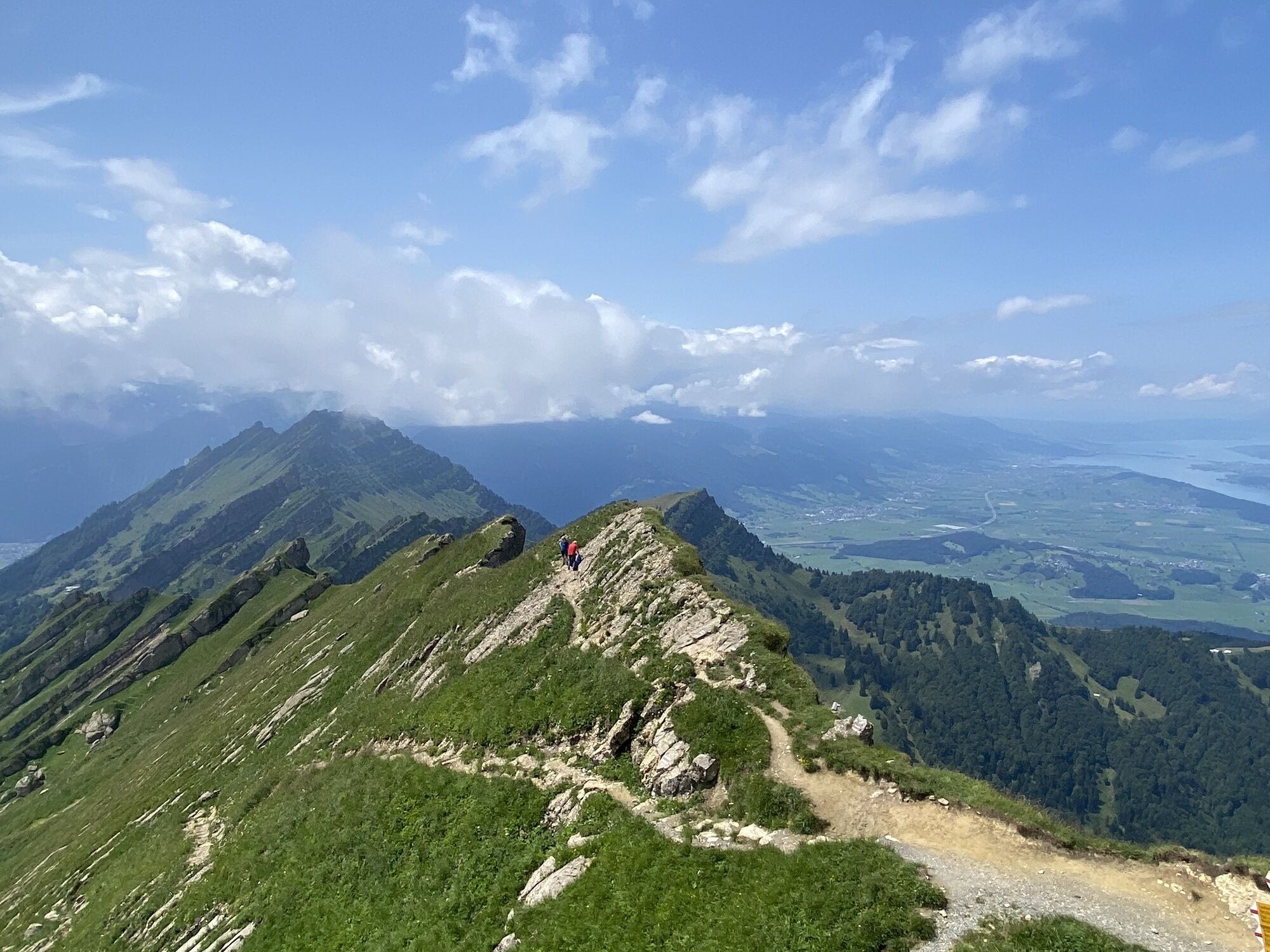
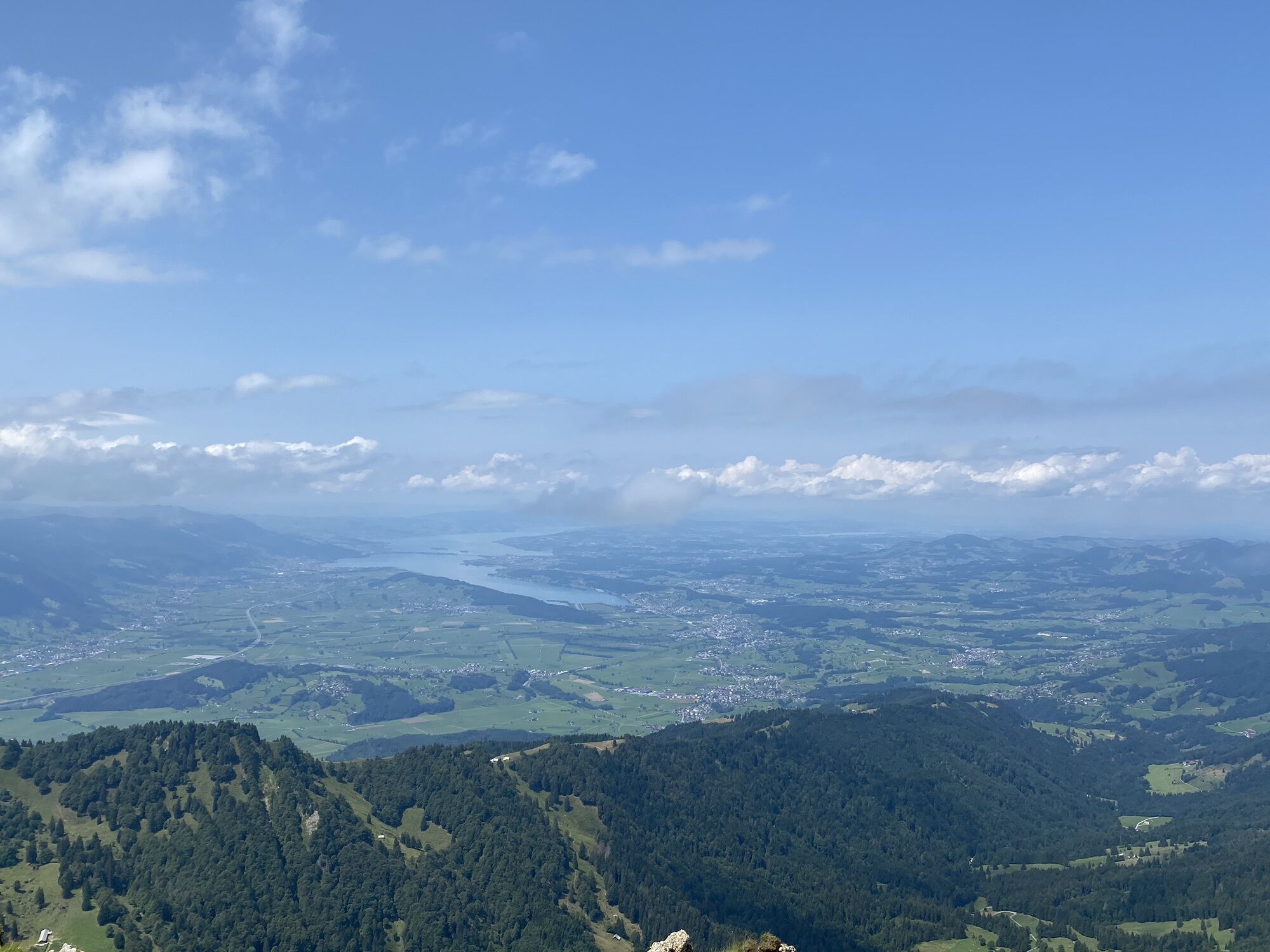
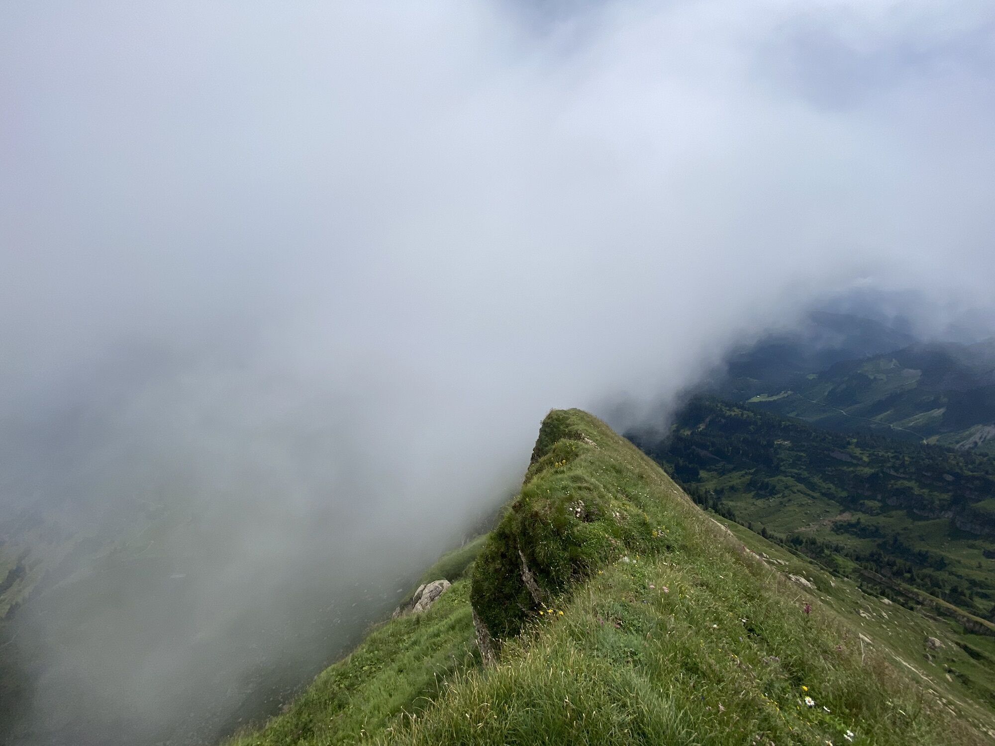
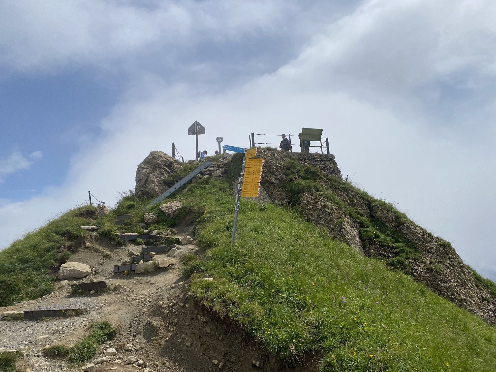
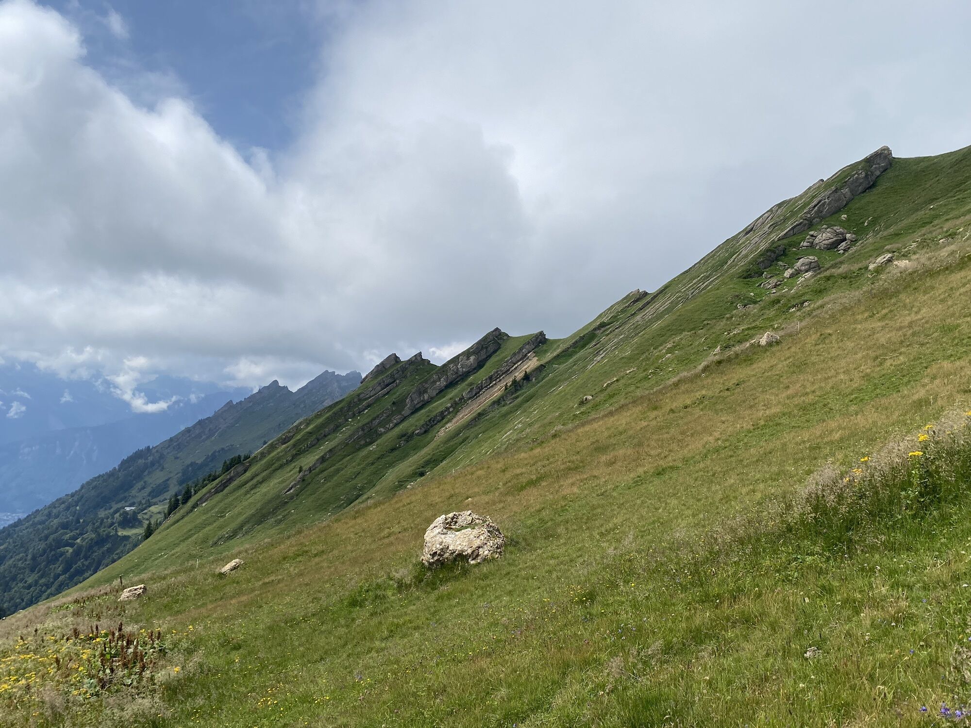
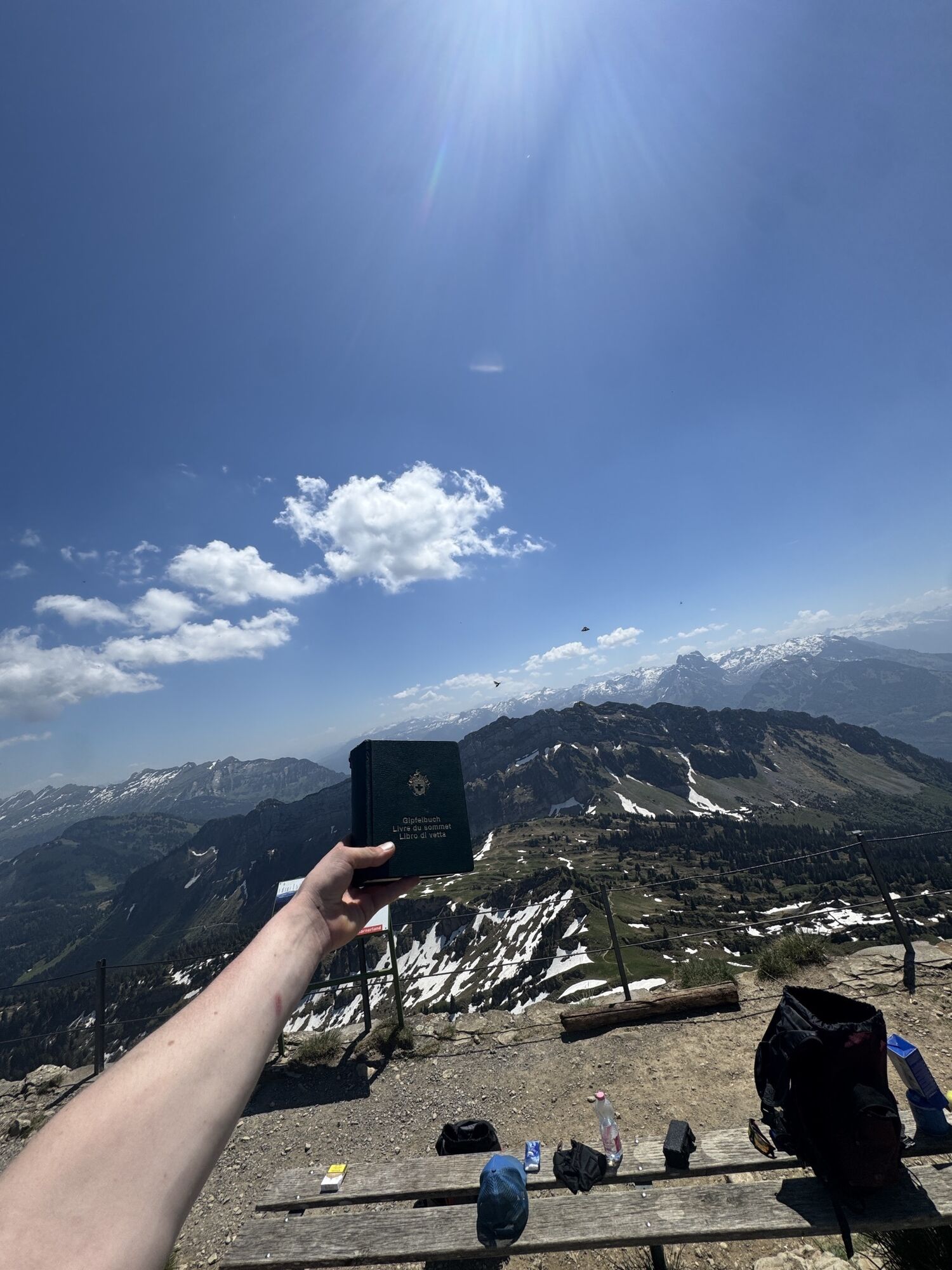
This mountain hike leads through varied landscapes. Quickly you find yourself away from the bustle in peaceful nature, sometimes on a pasture, sometimes in the forest, sometimes in the species-rich fen. Across alpine pasture land, the summit hike leads into the mountain area, characterized by Nagelfluh. You reach the summit of the Speer, 1,950 m above sea level, via its ridge. Once at the top, the view in all directions is so amazing that every drop of sweat is immediately forgotten. Lakes, other peaks, villages, and rivers suddenly appear so small. Before heading down again, the question arises which path to take. Yes, the paths to the highest Nagelfluh mountain in Europe are surprisingly numerous.

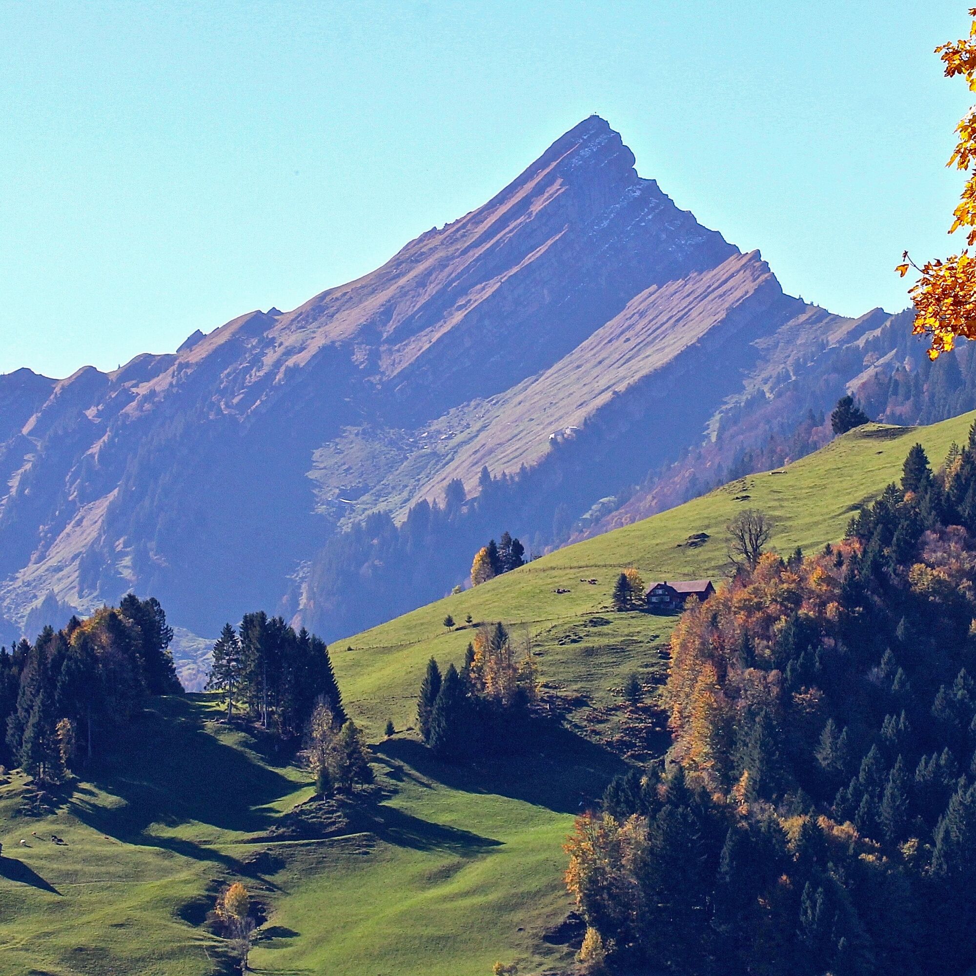
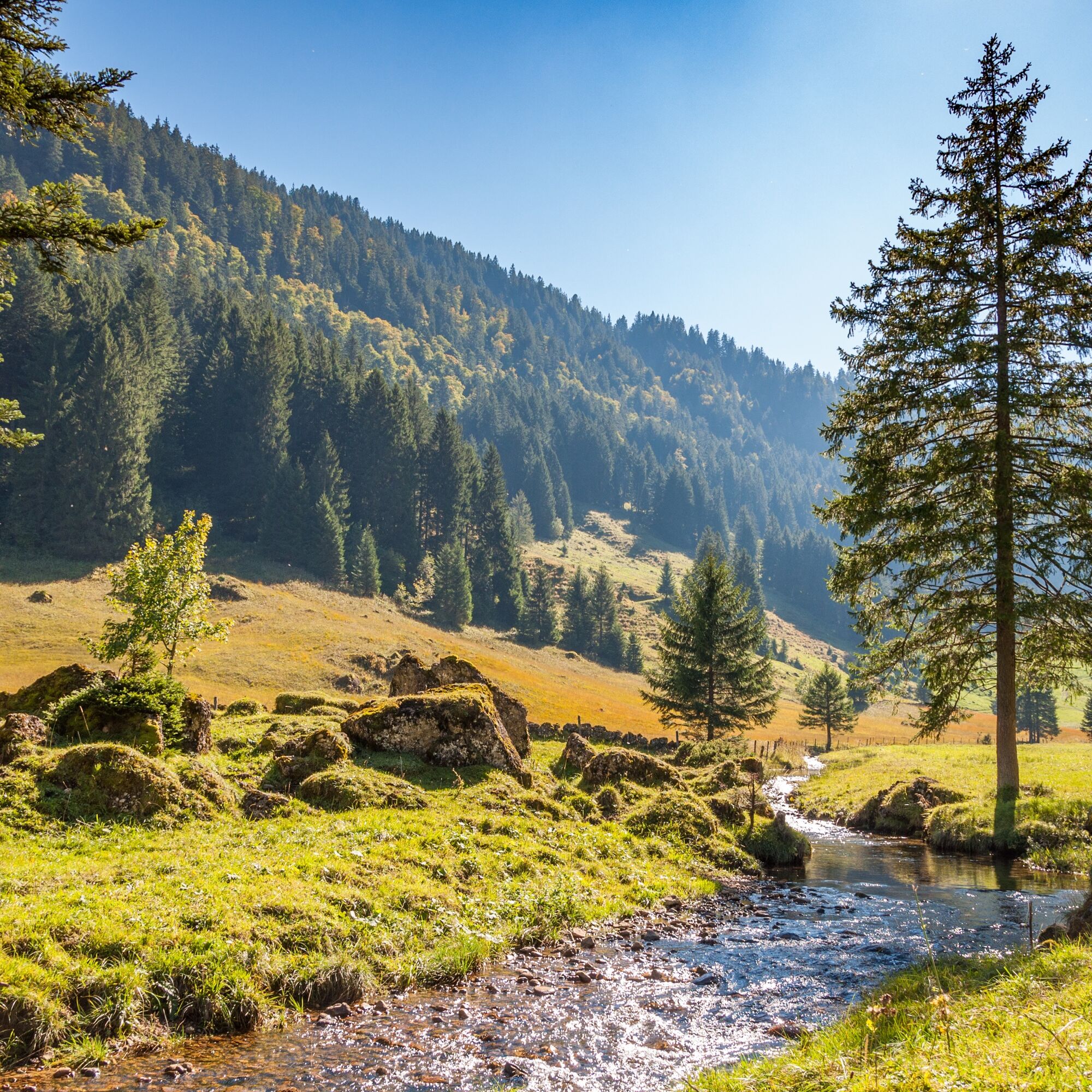
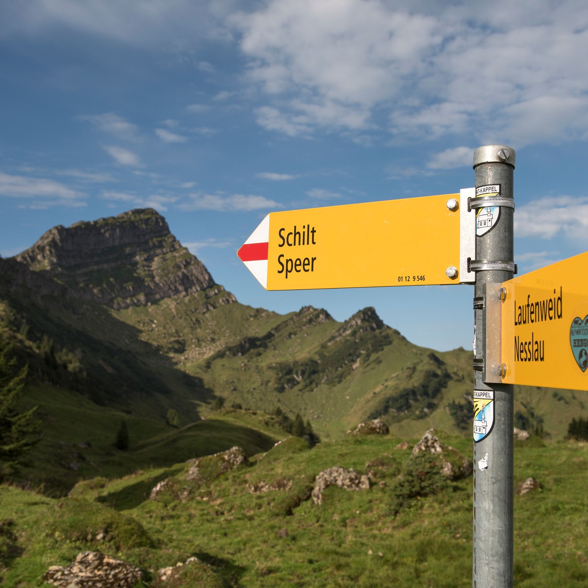
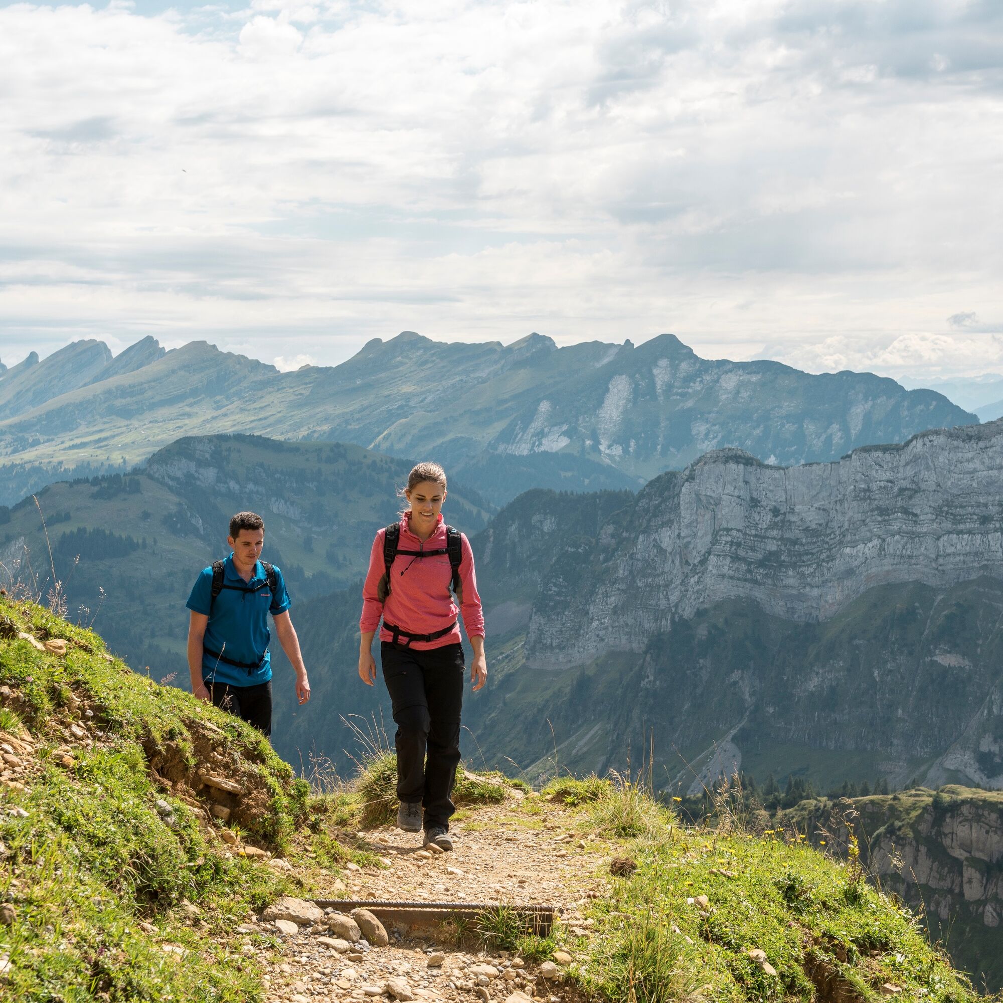
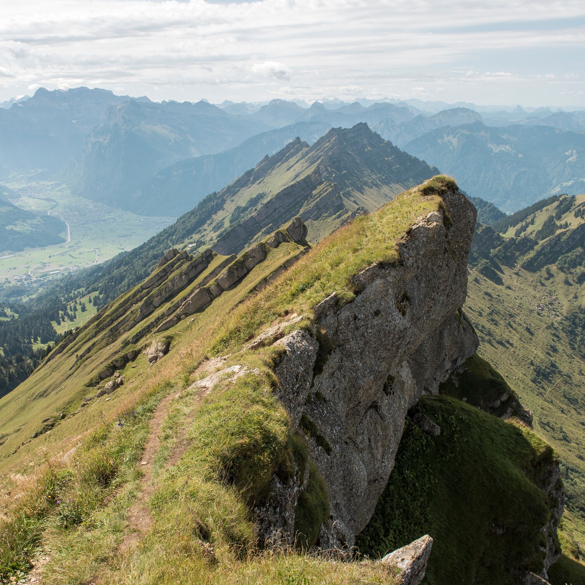

At Nesslau train station, the hiking trail is marked. At the intersection on Thurweg, it goes slightly left uphill, via Bürzeln into the Ijental. A first rest at the small reservoir is worthwhile. Straight ahead then along the stream bank towards the summit, which is always indicated on the signposts. You reach the Schilt area soon via Alp Hengst and Bützalpsattel, where the hiking trails and the number of other hikers quickly increase. You approach the Stelli waypoint from the east on the Toggenburger Höhenweg. From Stelli, head northwards for the last nearly 200 meters of altitude in a zigzag to the summit.
Ano
Day hiking backpack (approx. 20 liters) with rain cover, sturdy and comfortable footwear, weather-appropriate and durable clothing in multiple layers, optionally telescopic poles, sun and rain protection, provisions and drinking water, first aid kit, pocket knife, mobile phone, optionally headlamp, maps
The route is clearly signposted.
- From the greater Zurich area and Central Switzerland:
Follow the A3 at Reichenburg towards Rapperswil, then over the Ricken Pass and in Wattwil follow the main road to Nesslau.
- From Eastern Switzerland:
Drive from St. Gallen on the A1 to Wil, take the Toggenburg exit. Follow the main road to Nesslau.
- From Southern Germany:
Via Bregenz and St. Margrethen on the A13 to Haag and take the exit towards Toggenburg/Wildhaus. Or via Konstanz to Wil, then take the Toggenburg exit and follow the main road to Nesslau.
By train to Krummenau station.
More detailed information can be found at www.sbb.ch.
Free parking spaces are available at Nesslau train station.
Toggenburg Tourism
Hauptstrasse 104
9658 Wildhaus
Tel. +41 71 999 99 11
Starting early is worth it to catch the first rays of sunshine on the summit.

Webové kamery z prohlídky
Získejte přehled
Vždy živě na místě s více než 9 500 webkamerami. bergfex Jako uživatel Pro si nyní můžete zobrazit odpovídající webové kamery pro mnoho prohlídek v aplikaci prohlídky z. Můžete si tak přímo prohlédnout aktuální podmínky.


Oblíbené prohlídky v okolí
-
4.8
Walensee Riviera Weesen - Quinten
středníTuristika 10.2 km -
4.7
Riviera Lake Walen Walenstadt-Quinten
středníTuristika 10.4 km -
4.6
Weesen - Quinten - Walenstadt
heavyTuristika 20.6 km -
4.9
Säntis-Gipfeltour, Wasserauen / Appenzell Innerrhoden
heavyTuristika 21.1 km -
5.0
Schrina Alp and Cultural Trail
středníTematická stezka 11.5 km -
4.5
4-Summit-Route Flumserberg
středníTuristika 8.65 km -
4.6
Schwägalp - Berggasthaus Tierwies - Girenspitz - Säntis
heavyTuristika 4.83 km -
4.6
Amden - Speer (Rundkurs)
světloTuristika 17.6 km -
4.0
Winter hike on the Rosenboden panoramic circular route
světloZimní turistika 2.95 km -
4.7
Quinten-Trail 453
středníBěh 8.97 km

Pěší turistika a stopování


Nenechte si ujít nabídky a inspiraci pro vaši příští dovolenou
Vaše e-mailová adresa byl přidán do poštovního seznamu.





