






Ski tour Gluristal

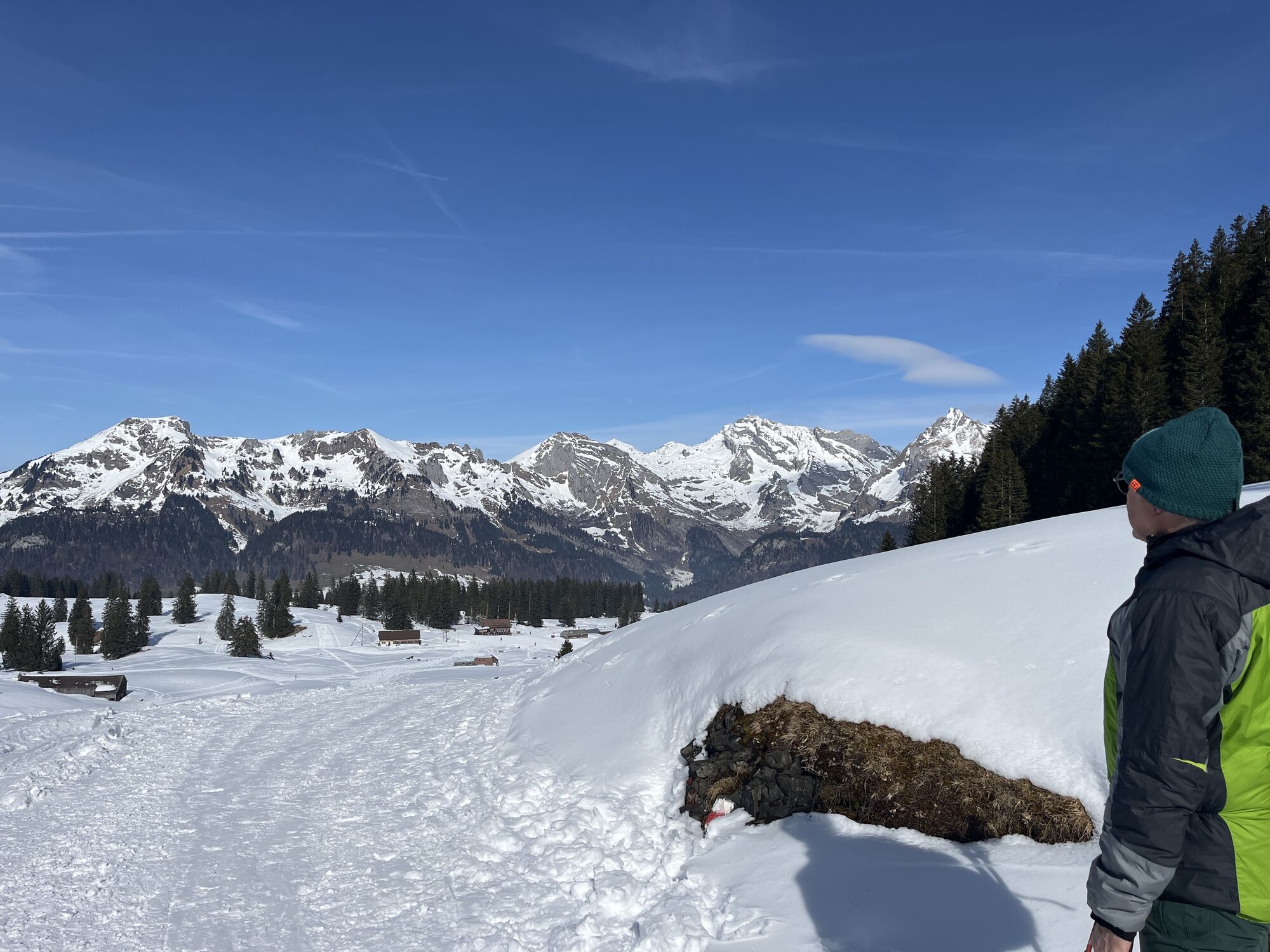
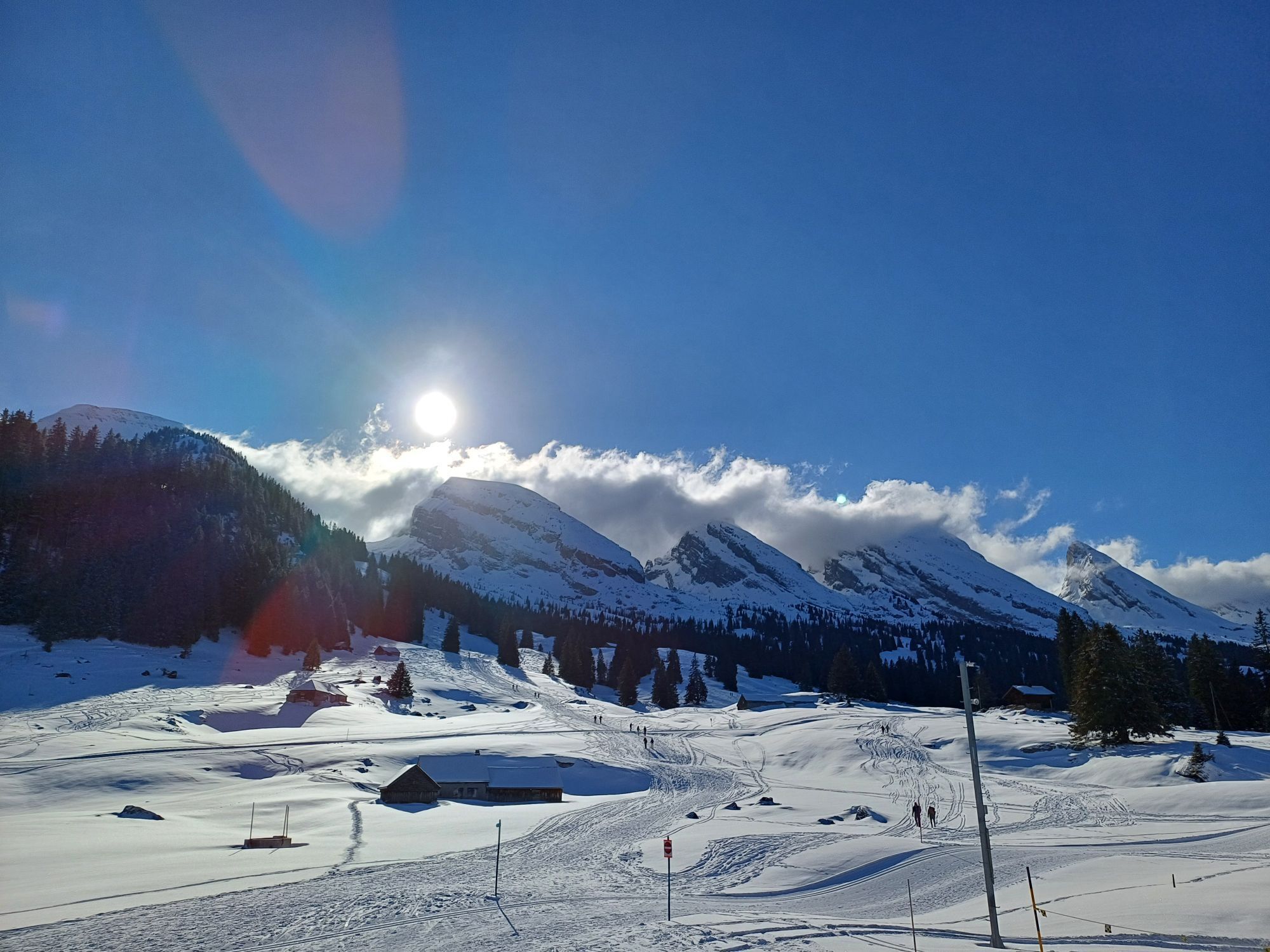
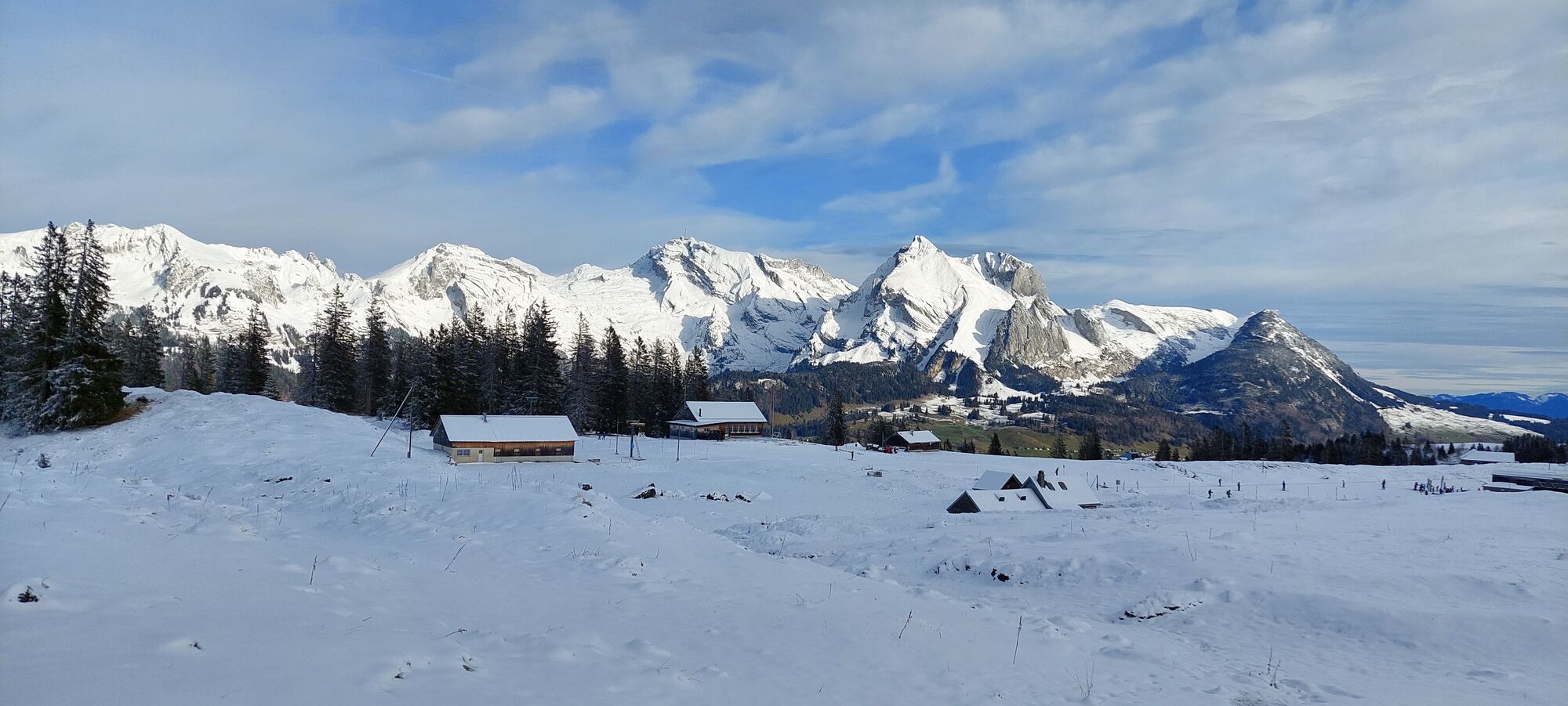
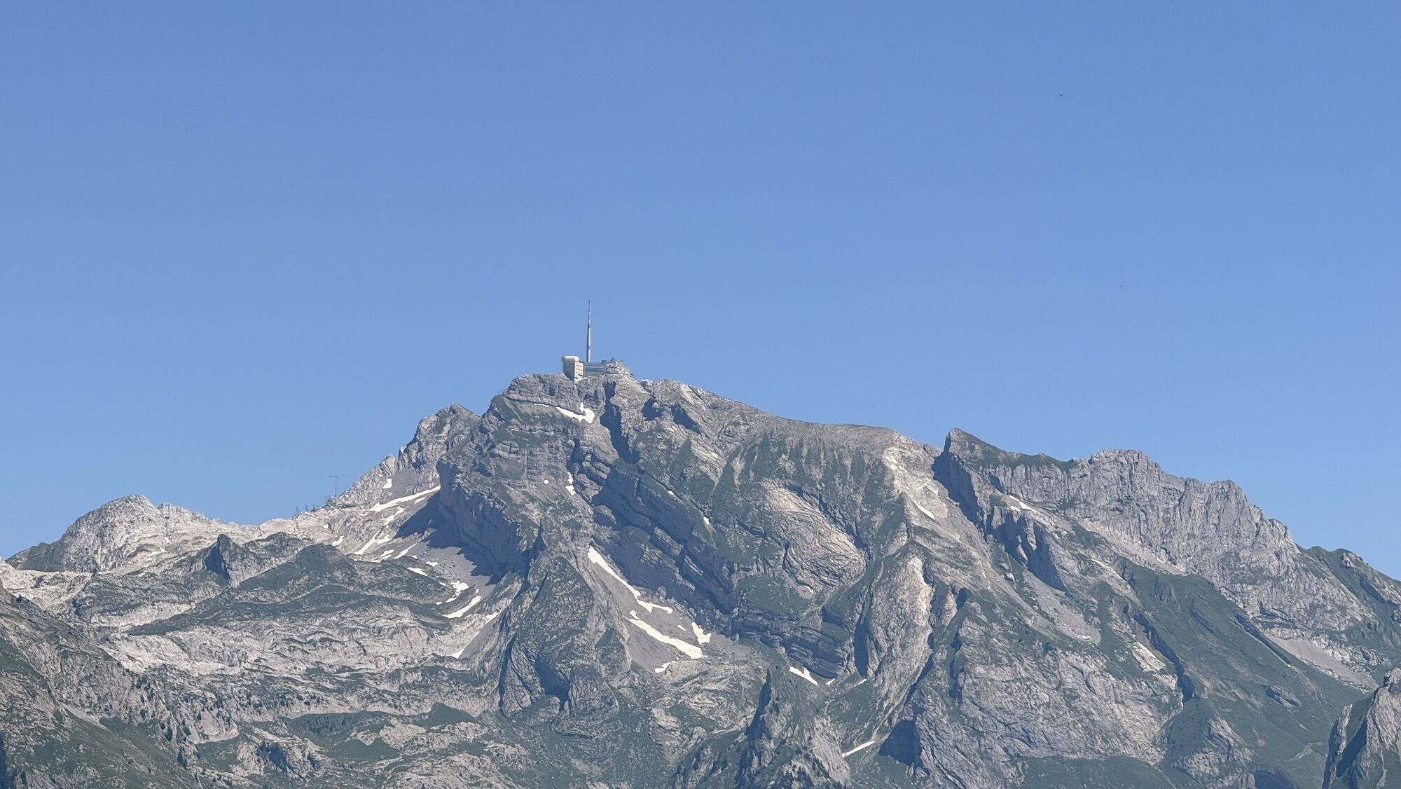
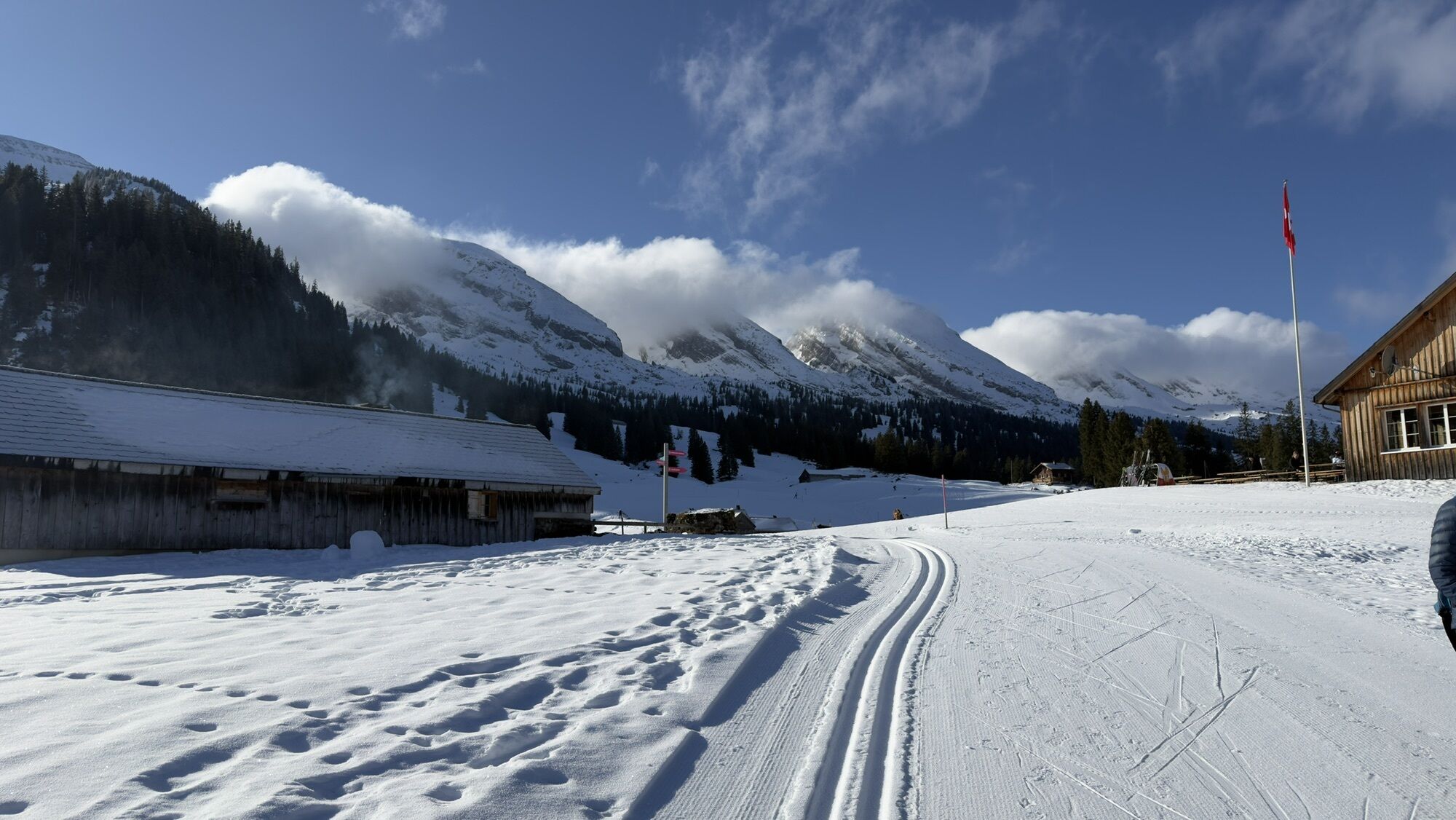
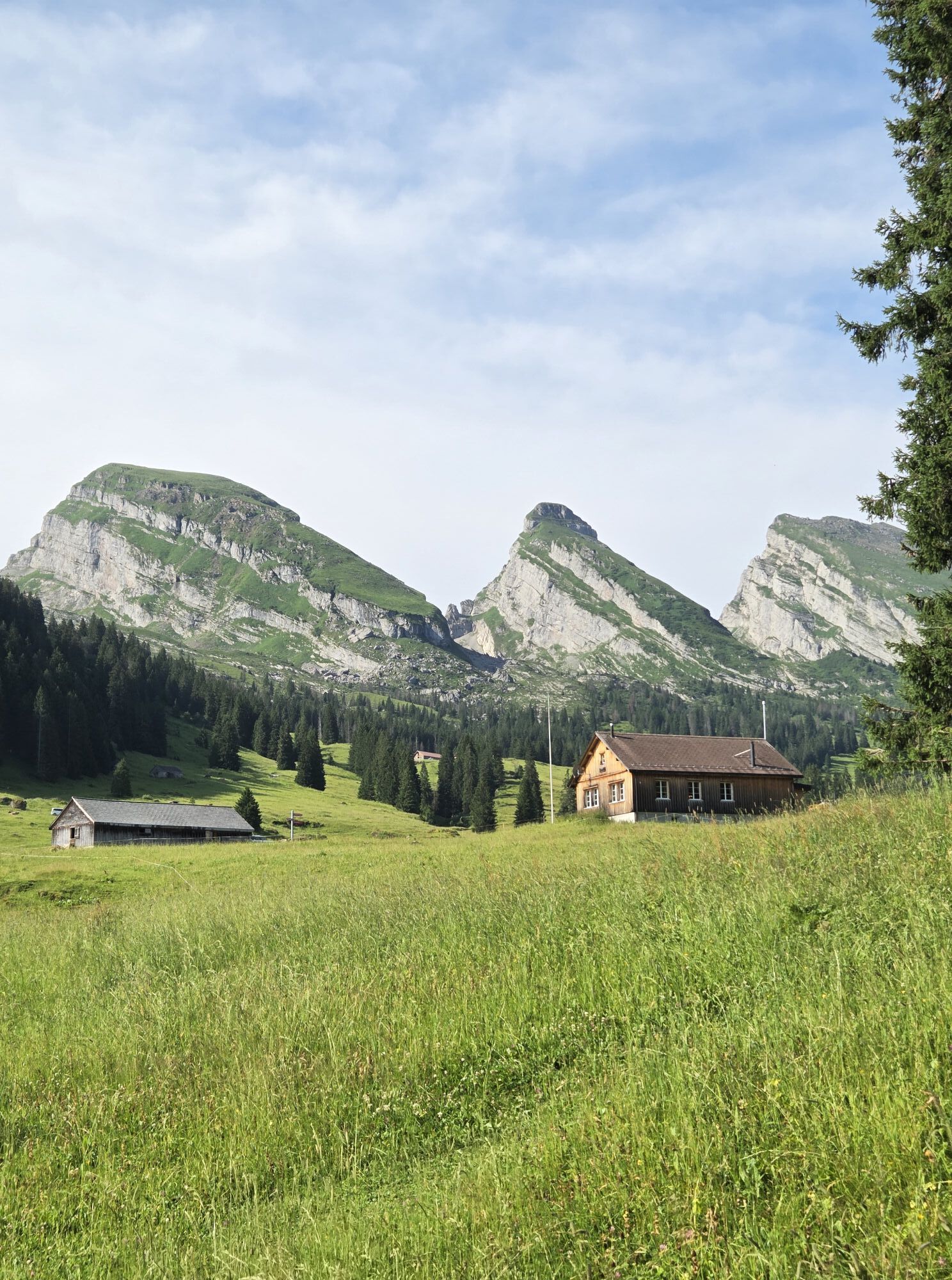
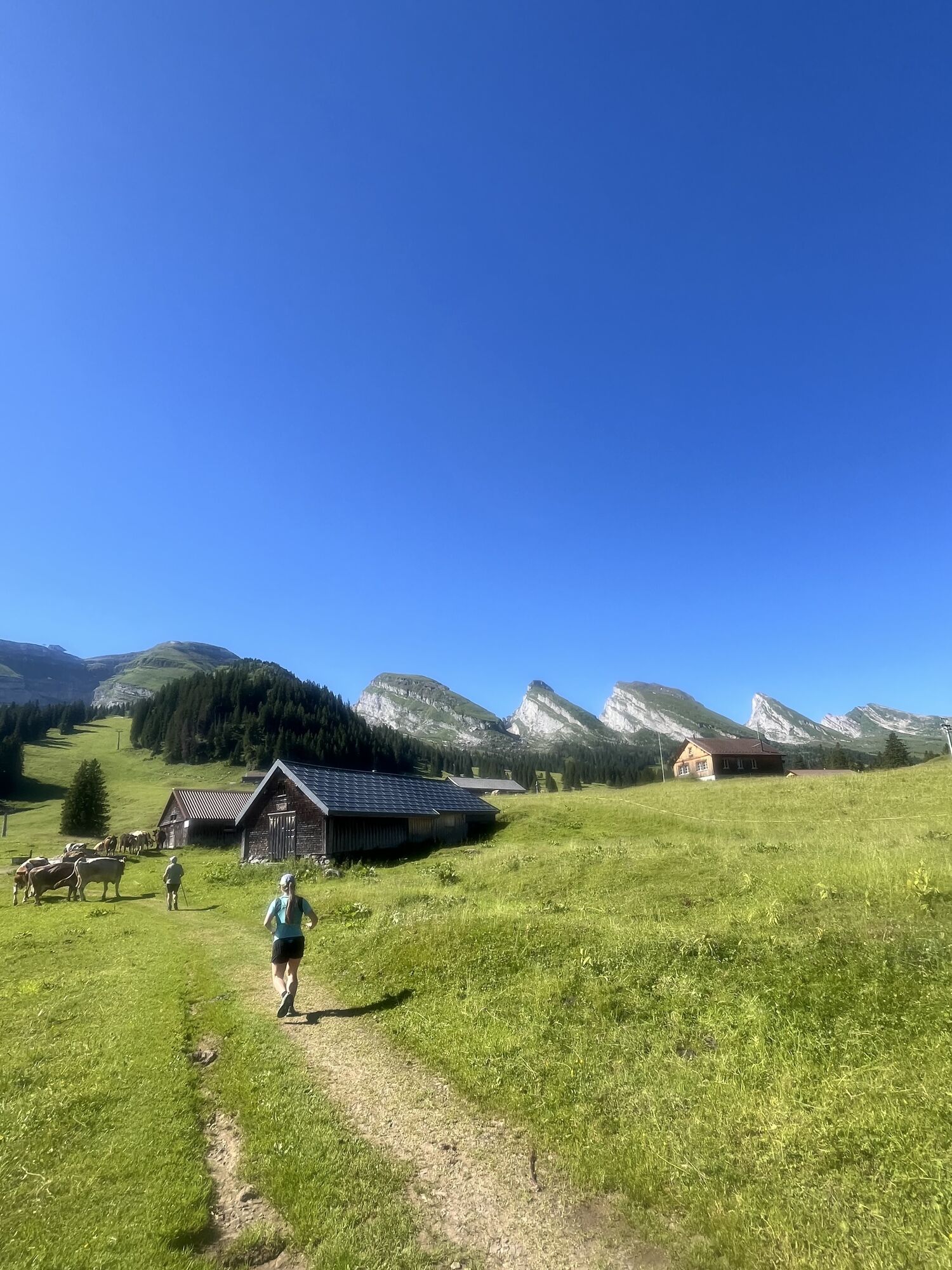
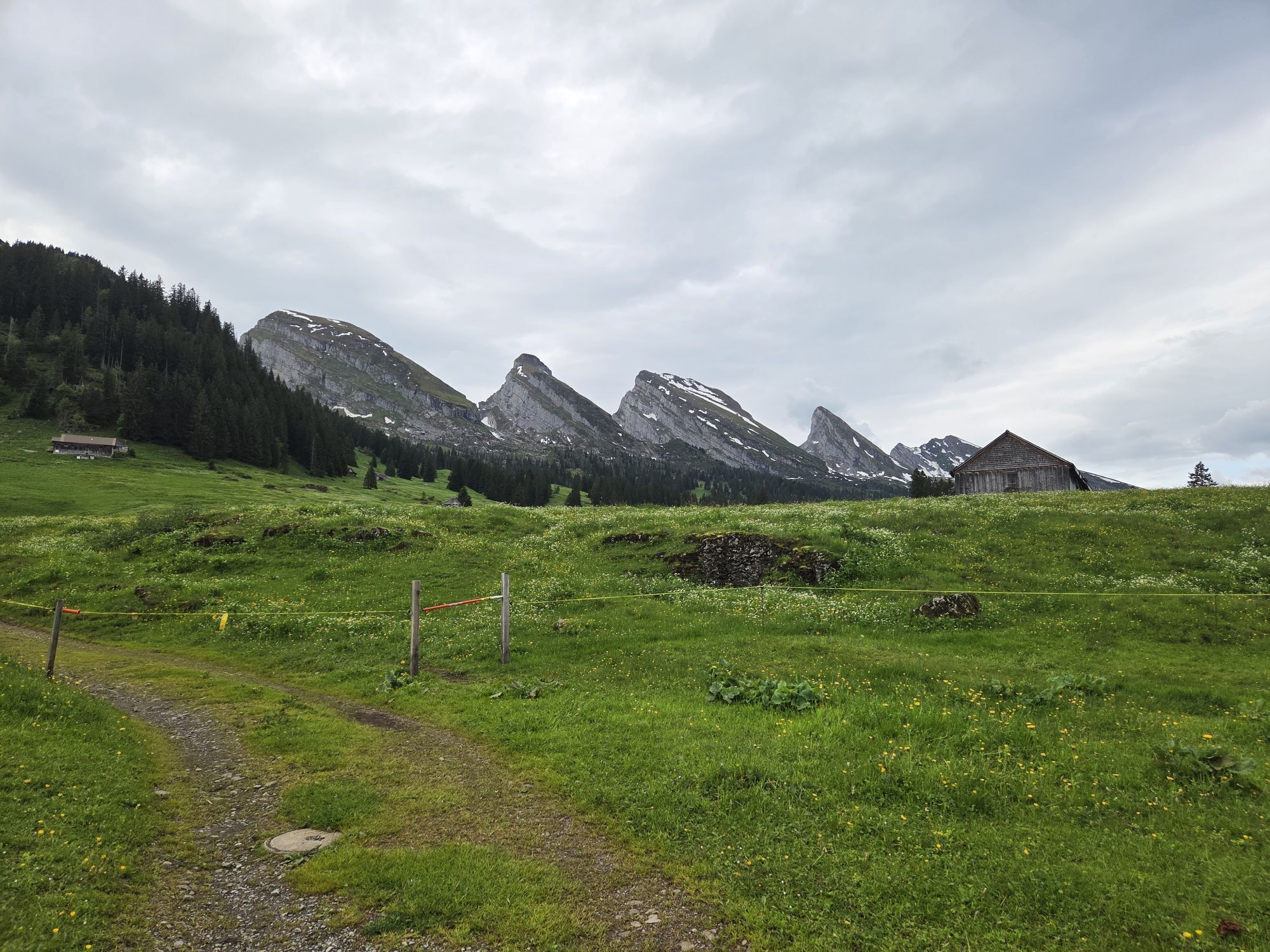
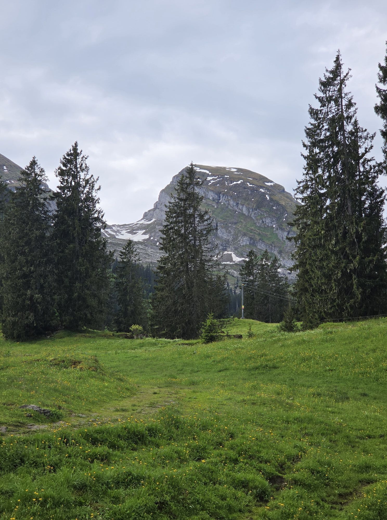
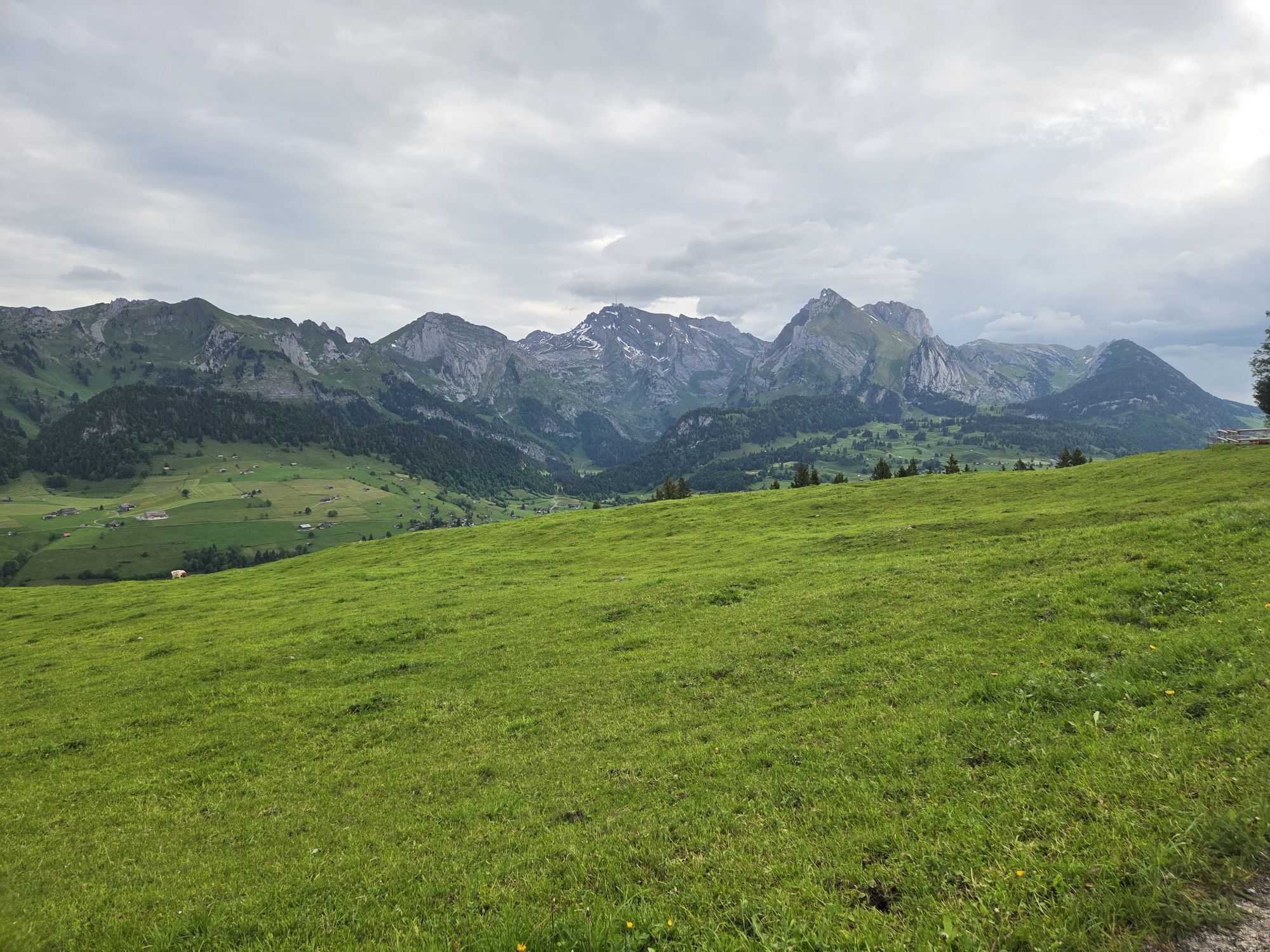
The goal of this route is the notch between the peaks Schibenstoll and Hinterrugg. Although it is unusual for a ski tour to end in a notch, the tour through Gluristal is fairly frequently undertaken. This...
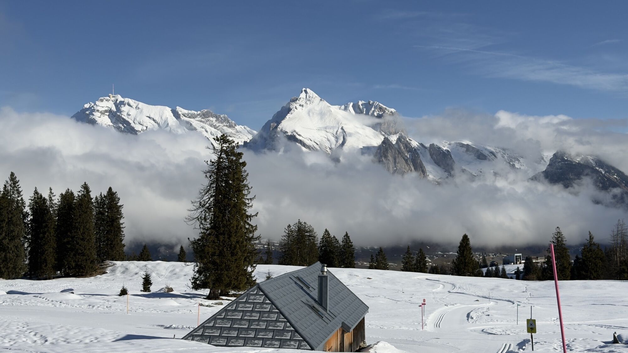
The goal of this route is the notch between the peaks Schibenstoll and Hinterrugg. Although it is unusual for a ski tour to end in a notch, the tour through Gluristal is fairly frequently undertaken. This may be because this alpine destination with spectacular views down into the Seeztal and to the Walensee is easily accessible with the help of the Sellamatt lift. And then there are 1540 m of descent with some really beautiful slopes.

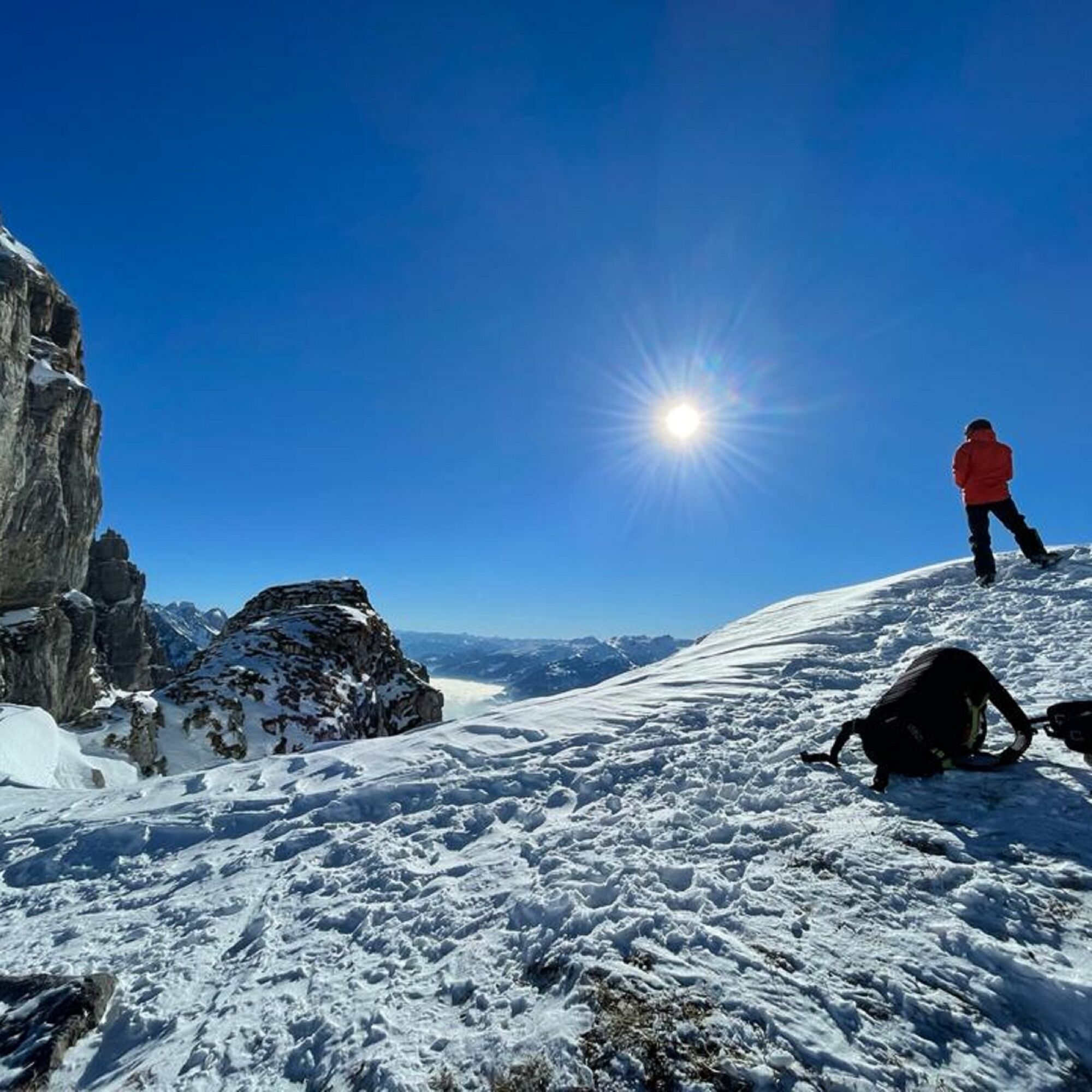
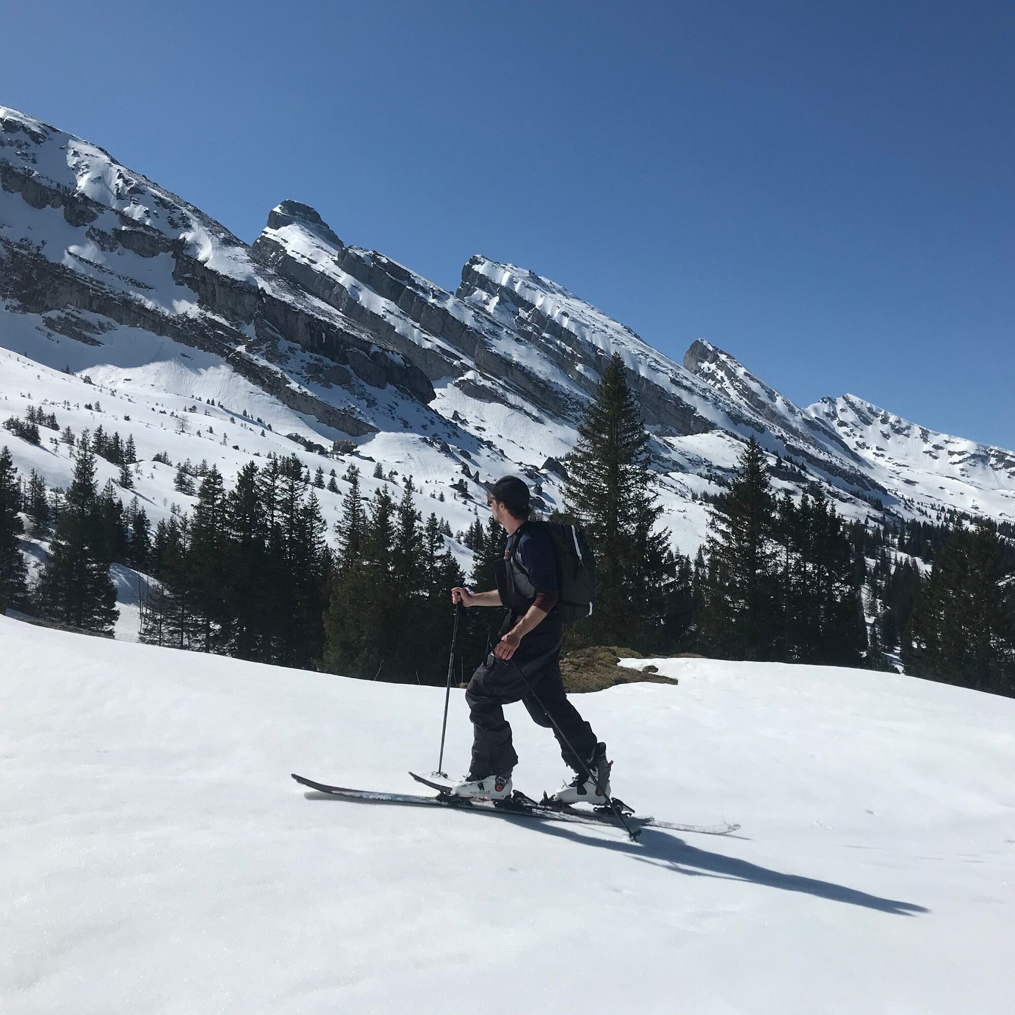
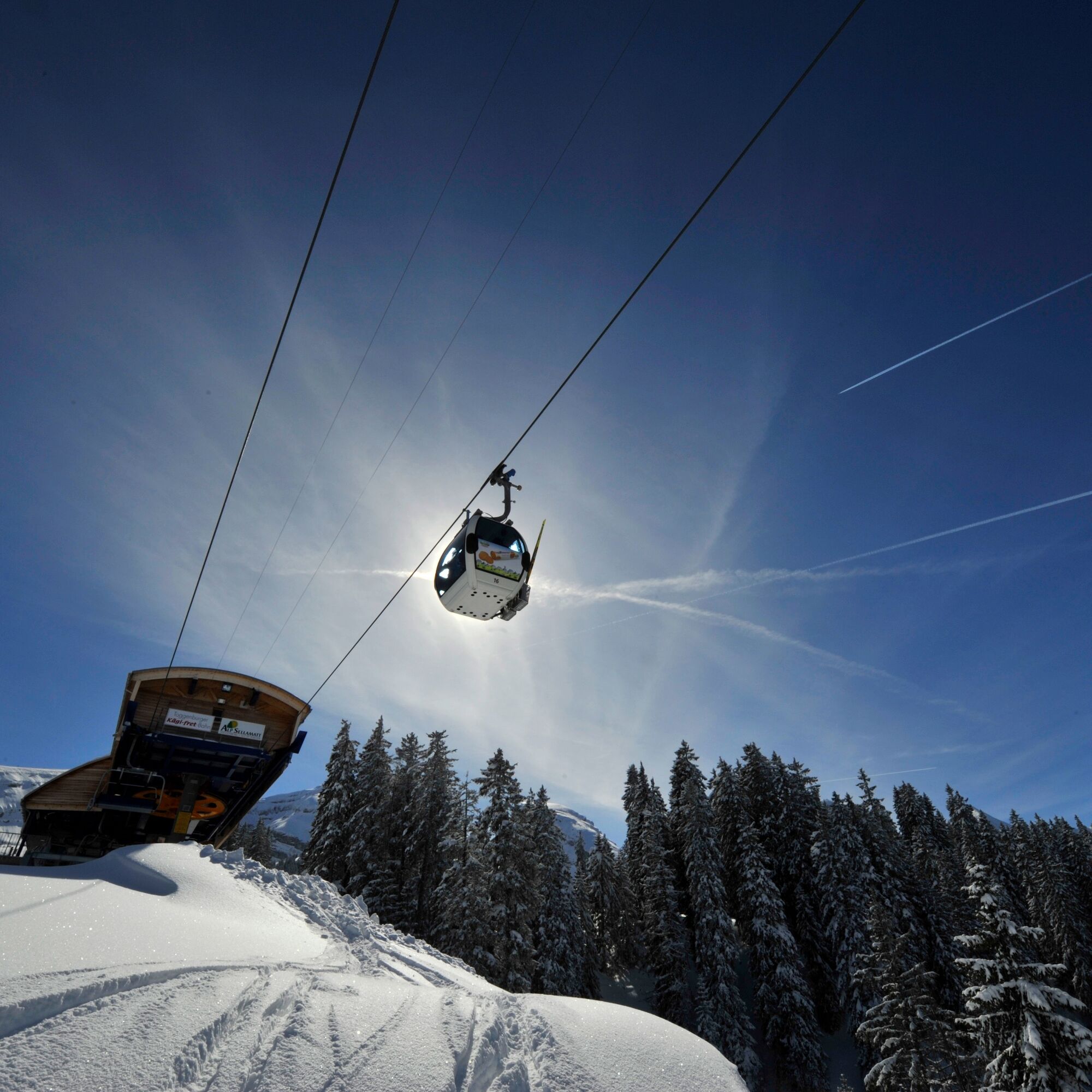

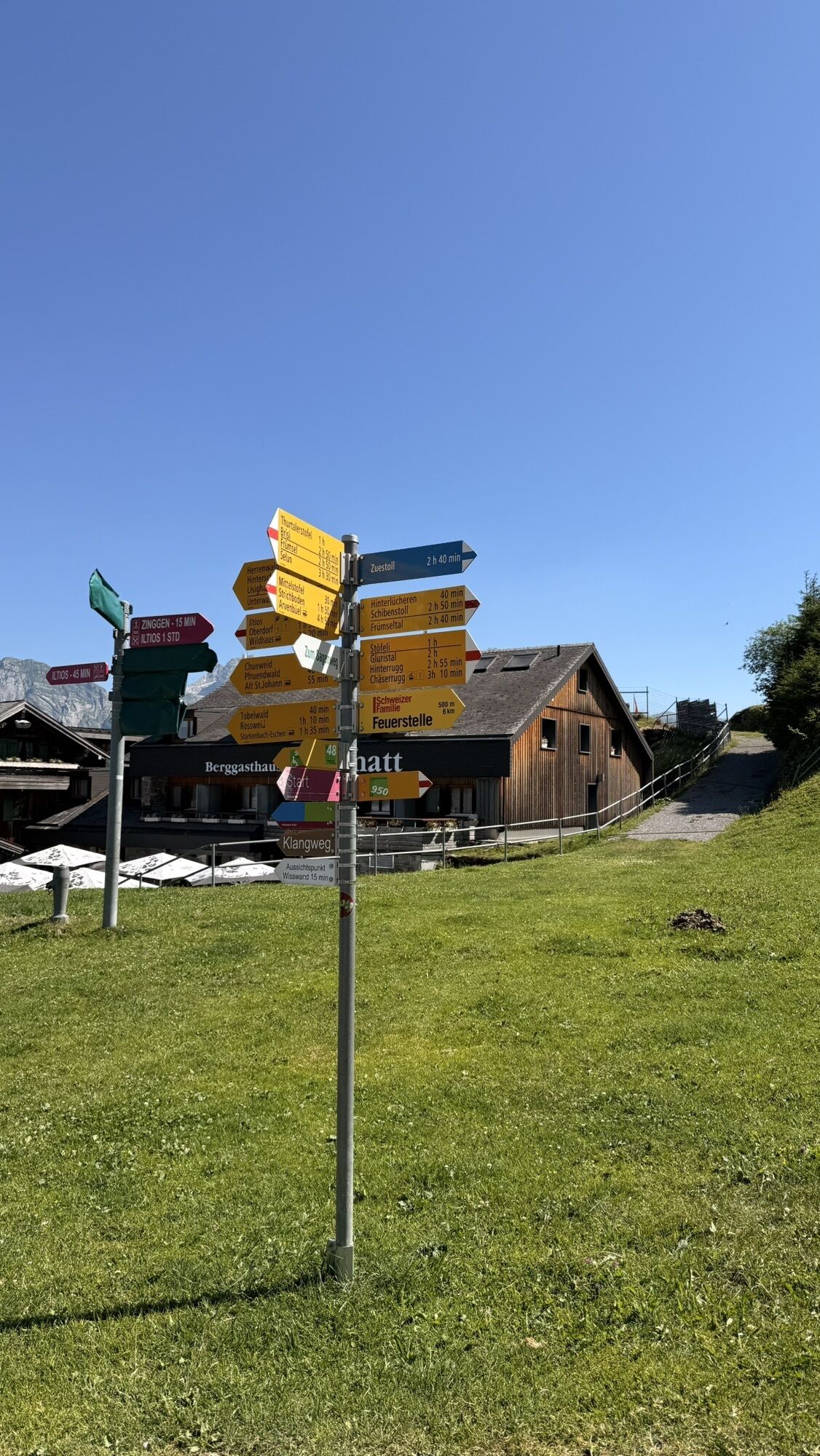
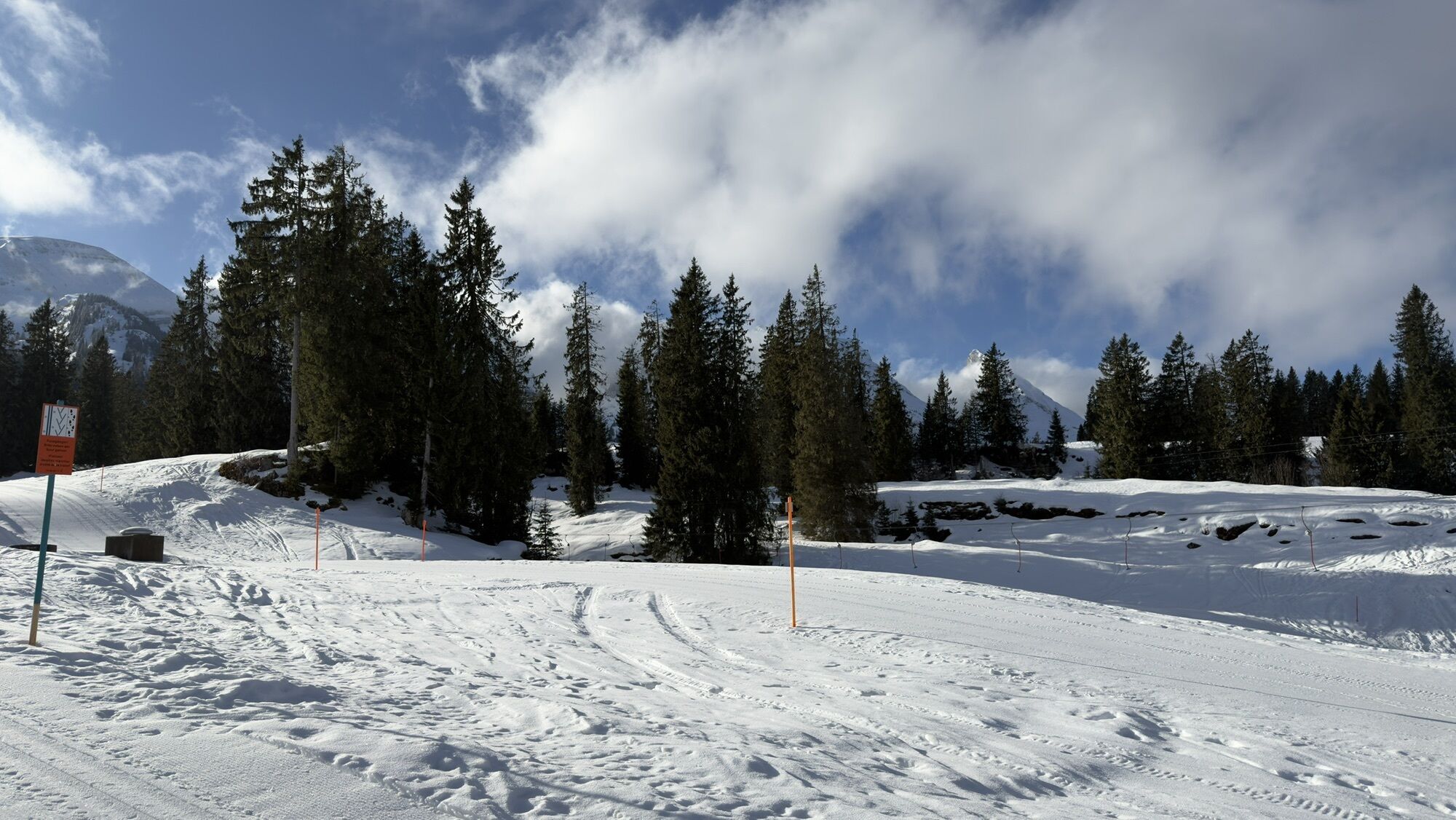
From the chairlift mountain station at Selamatt (1389 m) with or without tow assistance southwards to the end of the ski lift at Zinggen (approx. 1435 m). Then southwestwards along the summer path via Hinterlücheren (1545 m) towards Langlitten, but about 250 m before the huts ascending southeastwards into the Gluristal. The short steep slopes shortly before the tour destination are overcome either directly in the valley basin or slightly east of it on a small ramp in the area of the summer path.
Ano
Ano
Ski touring equipment, skins, if necessary crampons, ski poles, ski helmet, avalanche equipment with avalanche transceiver, probe and shovel, ski touring backpack (approx. 30 liters) with avalanche airbag and rain cover, ski touring boots, ski socks, warm and durable clothing in multi-layer principle, ski touring jacket and pants, light gloves for the ascent, warm gloves for the descent, hat / headband, if necessary ski goggles, sun and rain protection, provisions and drinking water, thermos flask with hot drink, first aid kit, pocket knife, mobile phone, headlamp and reflectors, map material, bivy sack and rescue blanket
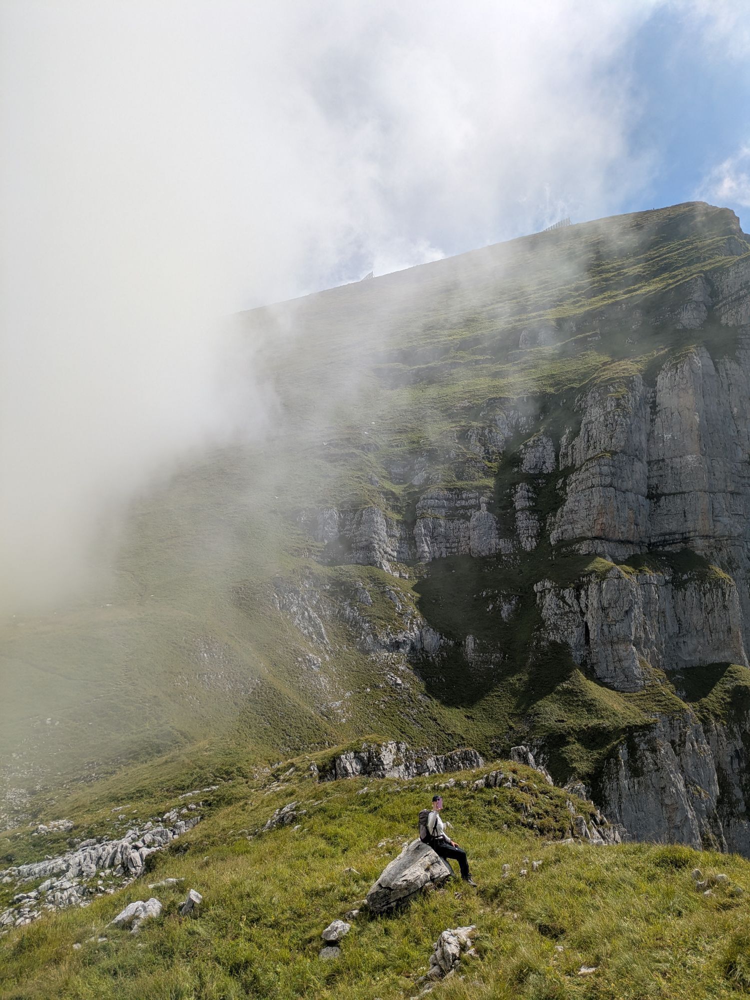
A rather steep slope in the upper section requires secure snow conditions. Do not ascend or descend over the karst fields when there is little snow. There is a risk of falling due to karst holes.
Take the A3 at Reichenburg towards Rapperswil and then over the Ricken Pass to Wattwil. Then up through Toggenburg to Alt St. Johann. From Eastern Switzerland:
From St. Gallen to Herisau and further over Wasserfluh to Lichtensteig. Or from St. Gallen to Wil, take the Toggenburg exit. Follow the main road to Alt St. Johann. From southern Germany:
Via Bregenz and St. Margrethen on the A13 to Haag and take the exit towards Toggenburg/Wildhaus. Or via Konstanz to Wil, then take the Toggenburg exit and follow the main road to Alt St. Johann.
By train to Nesslau Neu St. Johann station and further by bus to Alt St. Johann village.
From the Rhine Valley by train to Buchs SG station and then by bus to Alt St. Johann village.
Parking spaces are available at the mountain railways.
You can find the operating times of the mountain railway here.
Toggenburg Tourism
Hauptstrasse 104
9658 Wildhaus
+41 71 999 99 11
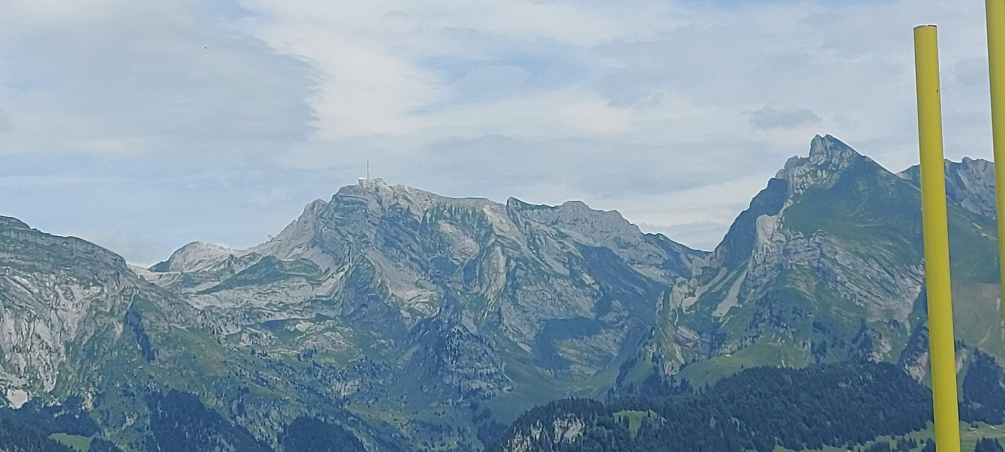
The view at the Glursissattel invites you to linger; it is worth allowing enough time for an extensive break.
Získejte přehled Vždy živě na místě s více než 9 500 webkamerami. bergfex Jako uživatel Pro si nyní můžete zobrazit odpovídající webové kamery pro mnoho prohlídek v aplikaci prohlídky z. Můžete si tak přímo prohlédnout aktuální podmínky. Oblíbené prohlídky v okolí
- 4.8
Walensee Riviera Weesen - Quinten
středníTuristika 10.2 km - 4.7
Riviera Lake Walen Walenstadt-Quinten
středníTuristika 10.4 km - 4.6
Weesen - Quinten - Walenstadt
heavyTuristika 20.6 km - 5.0
Staubern-Runde (15.8.2021)
středníTuristika 8.65 km - 4.9
Säntis-Gipfeltour, Wasserauen / Appenzell Innerrhoden
heavyTuristika 21.1 km - 4.7
Tour Brülisau - Saxerlücke - Hoherkasten⛰
heavyTuristika 16.6 km - 4.7
Wasserauen - Seealpsee - Wasserauen
středníTuristika 7.71 km - 4.6
Säntis
středníHorská turistika 17.5 km - 4.5
7-Peak Tour Flumserberg
heavyTuristika 15.0 km - 5.0
Schrina Alp and Cultural Trail
středníTematická stezka 11.5 km
Pěší turistika a stopování


Nenechte si ujít nabídky a inspiraci pro vaši příští dovolenou
Vaše e-mailová adresa byl přidán do poštovního seznamu.





