


Around Säntis
Úroveň obtížnosti: 4
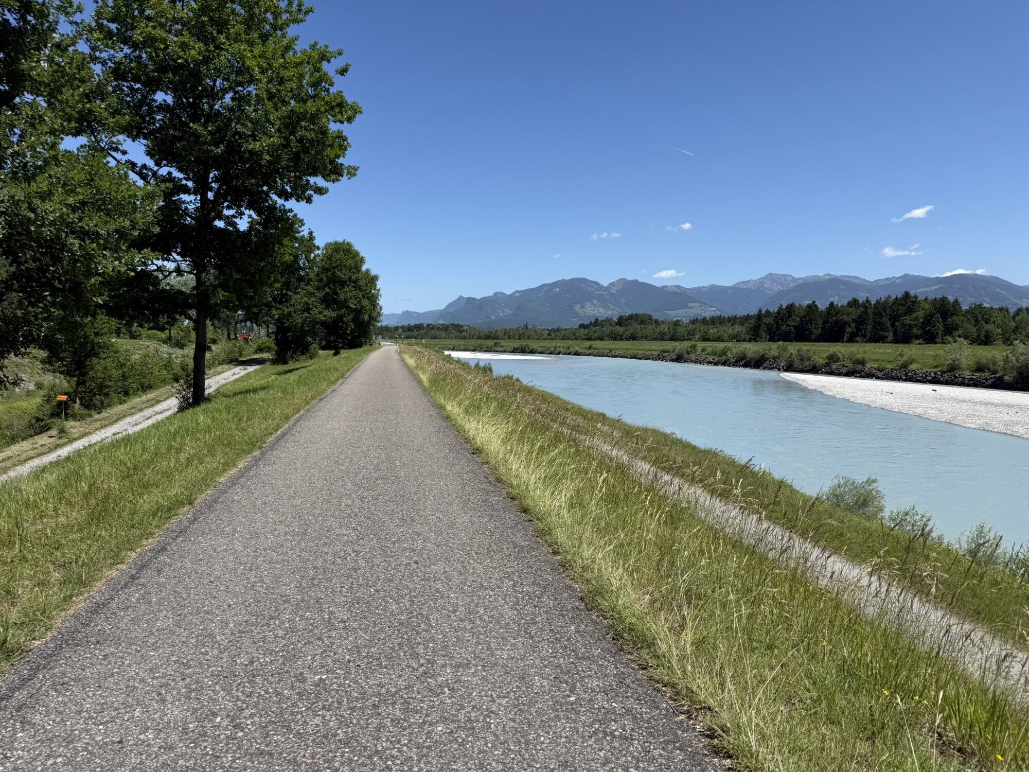
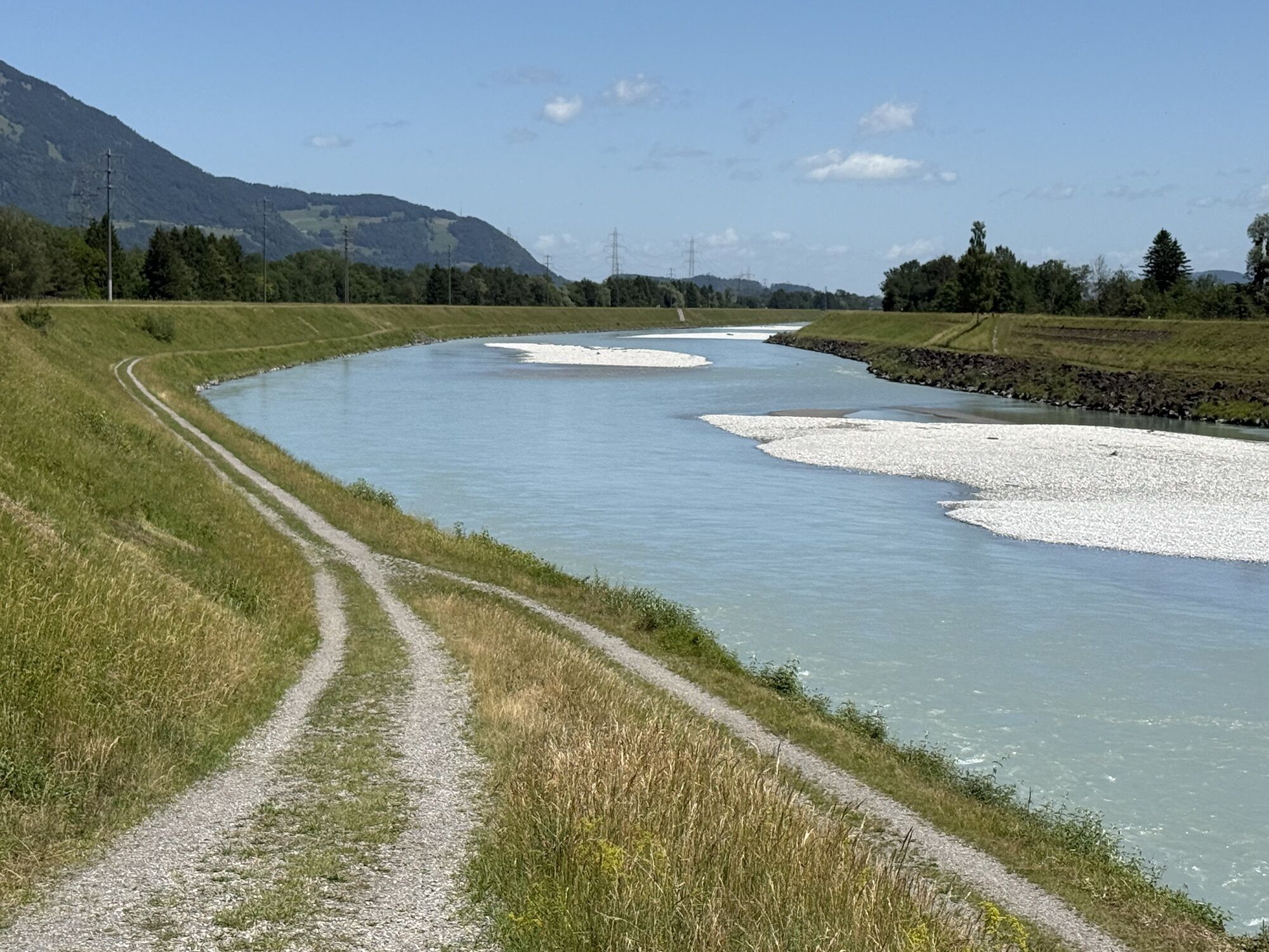

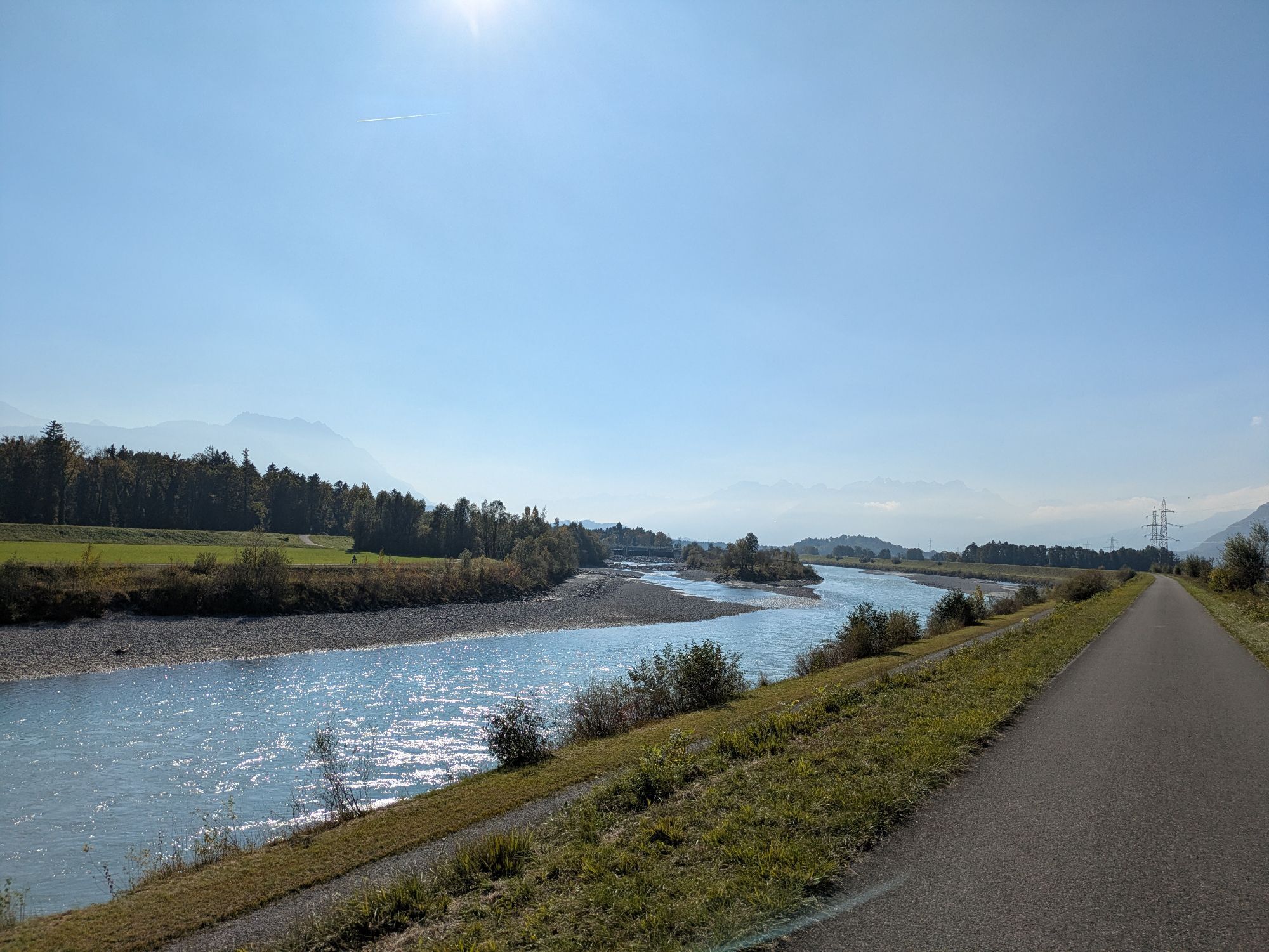
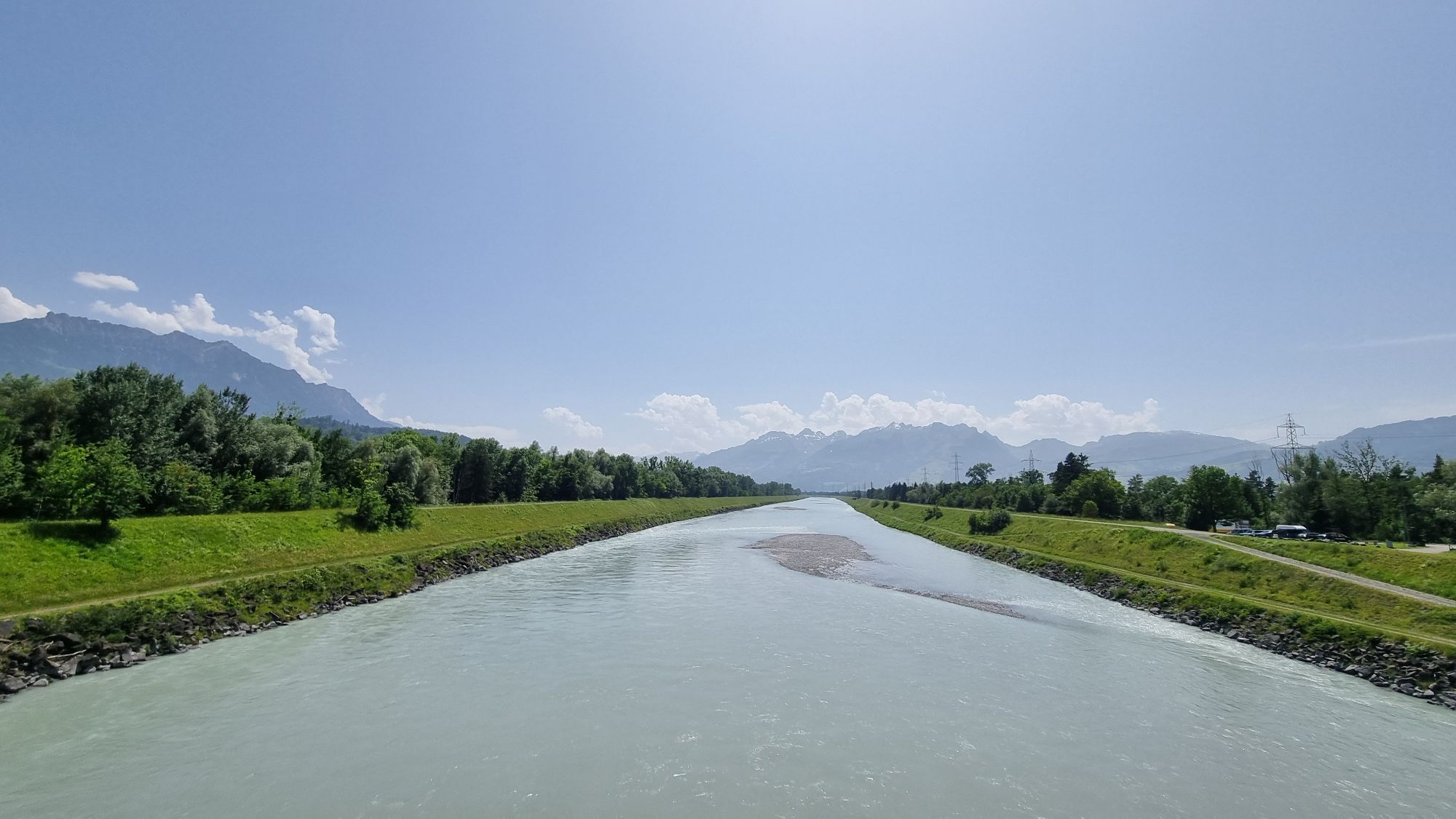
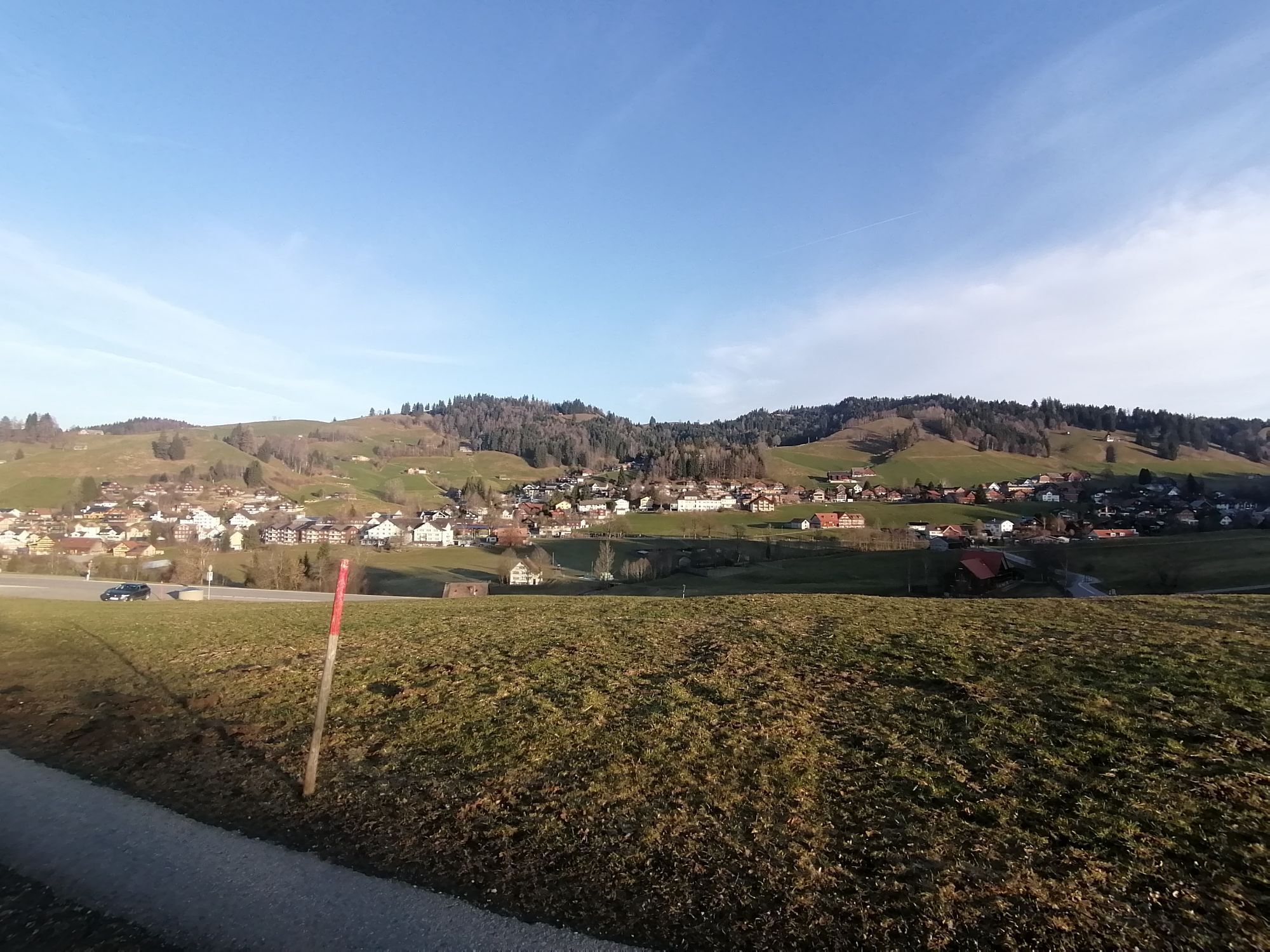
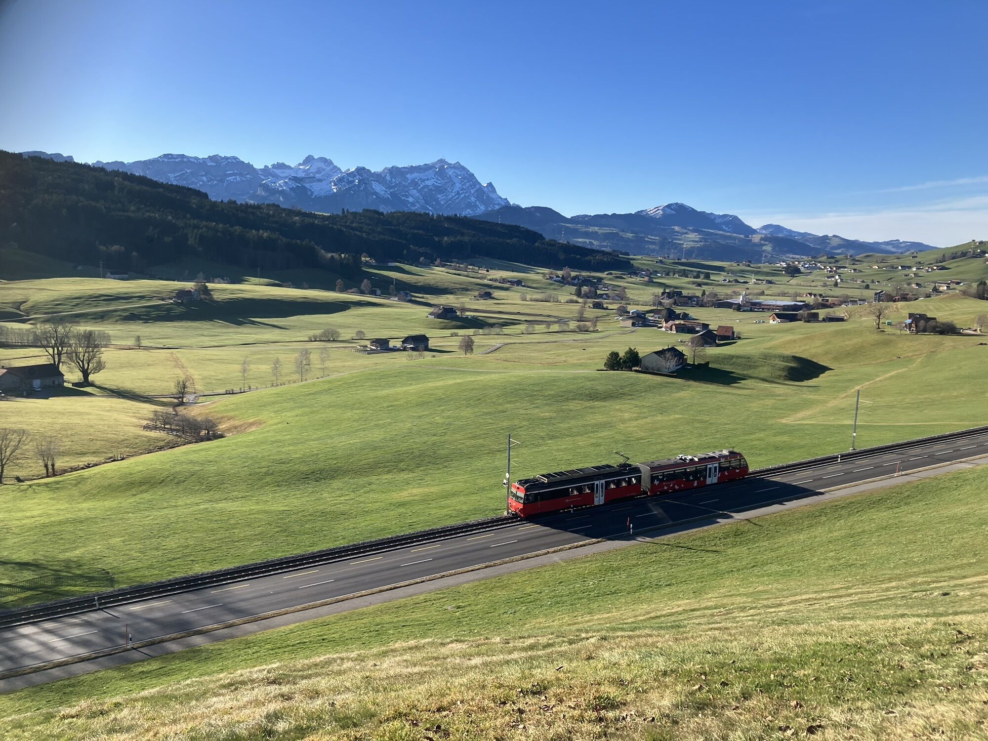
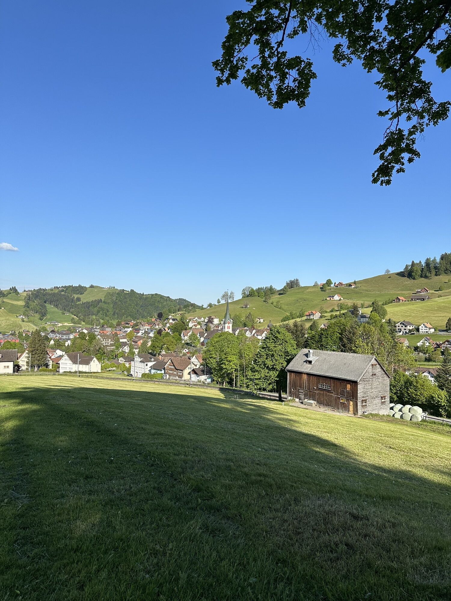
This varied road cycling circuit starts in Nesslau in Toggenburg and initially heads downstream towards the St. Gallen Rhine Valley. The start and end points of the tour are flexible and can be freely...
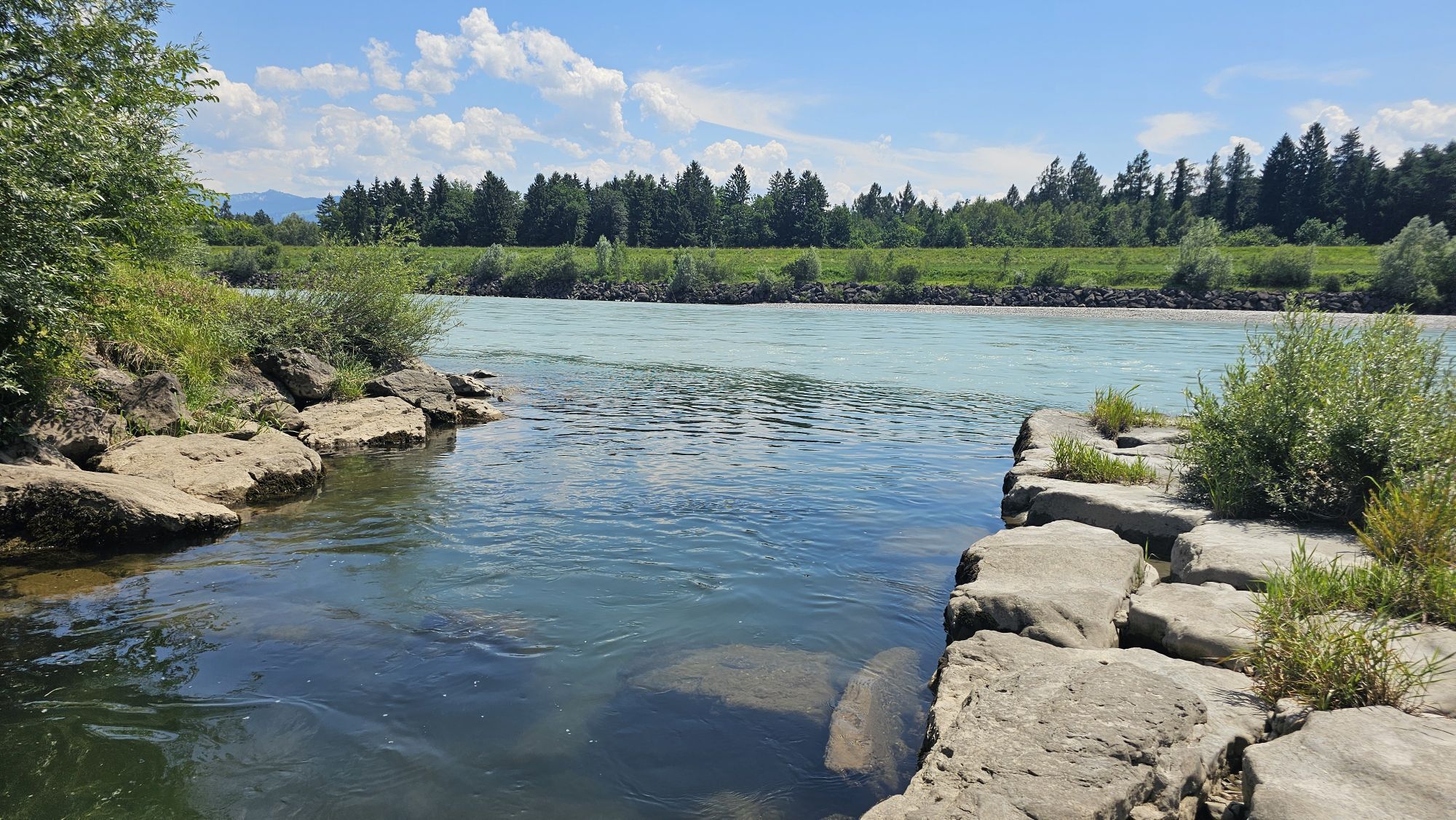
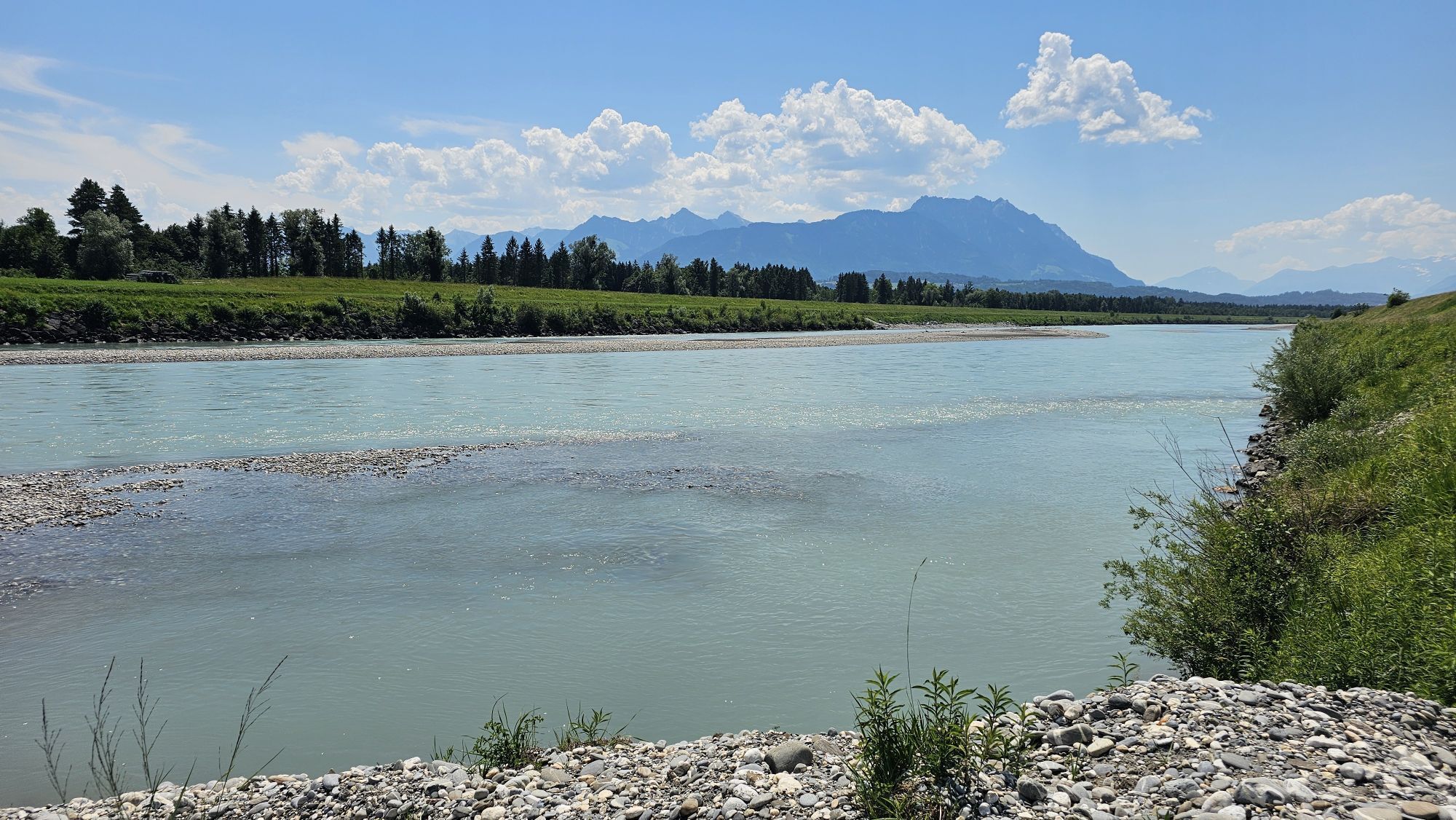
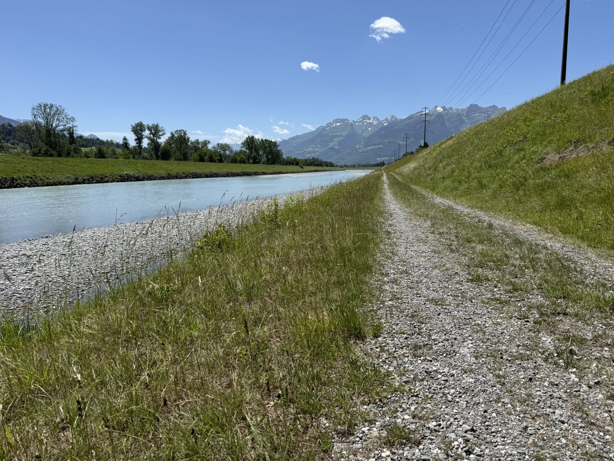
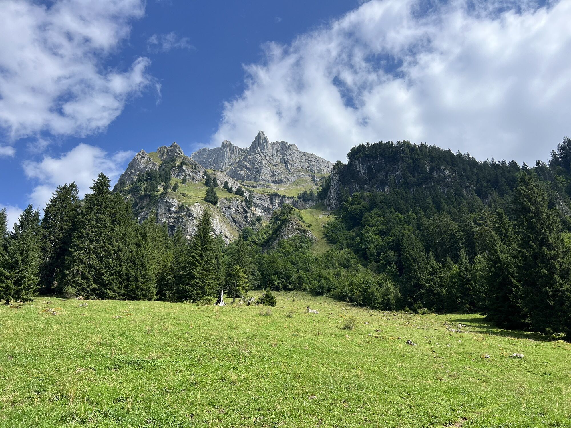
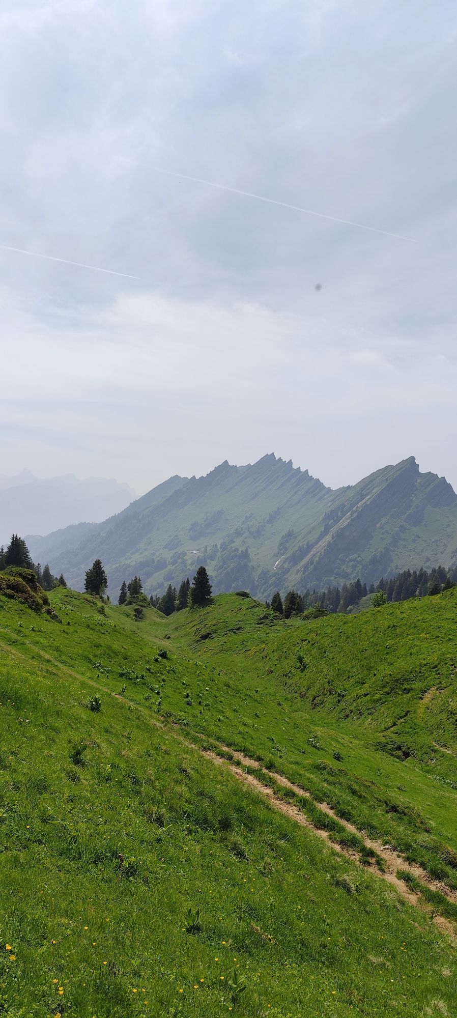
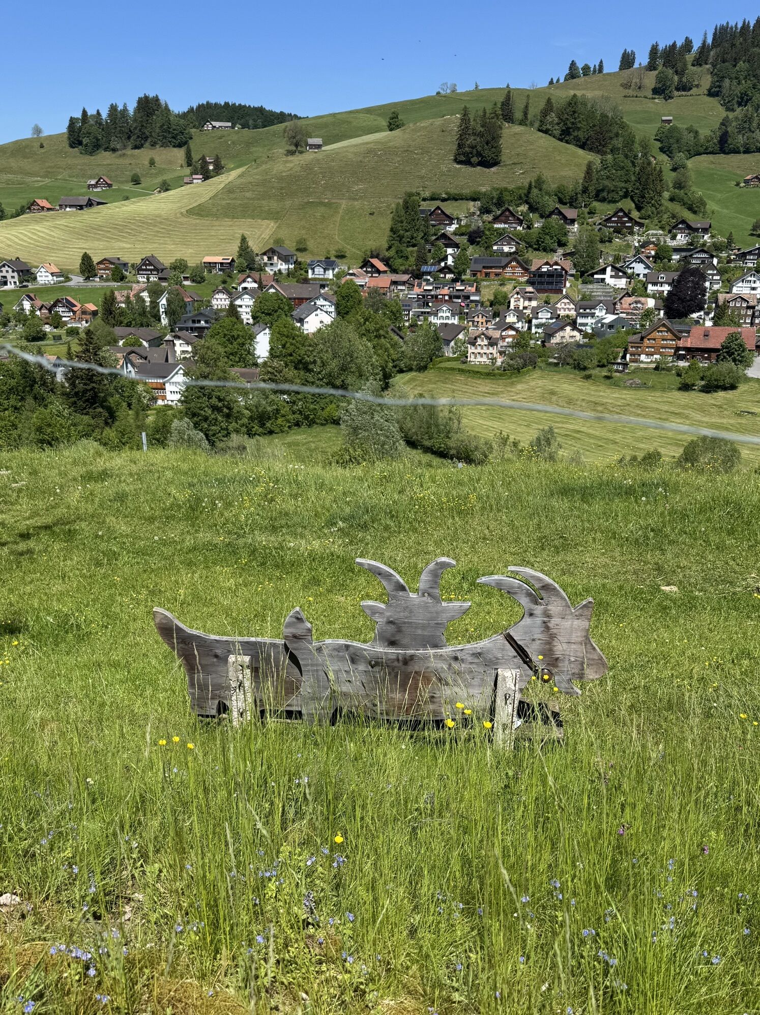
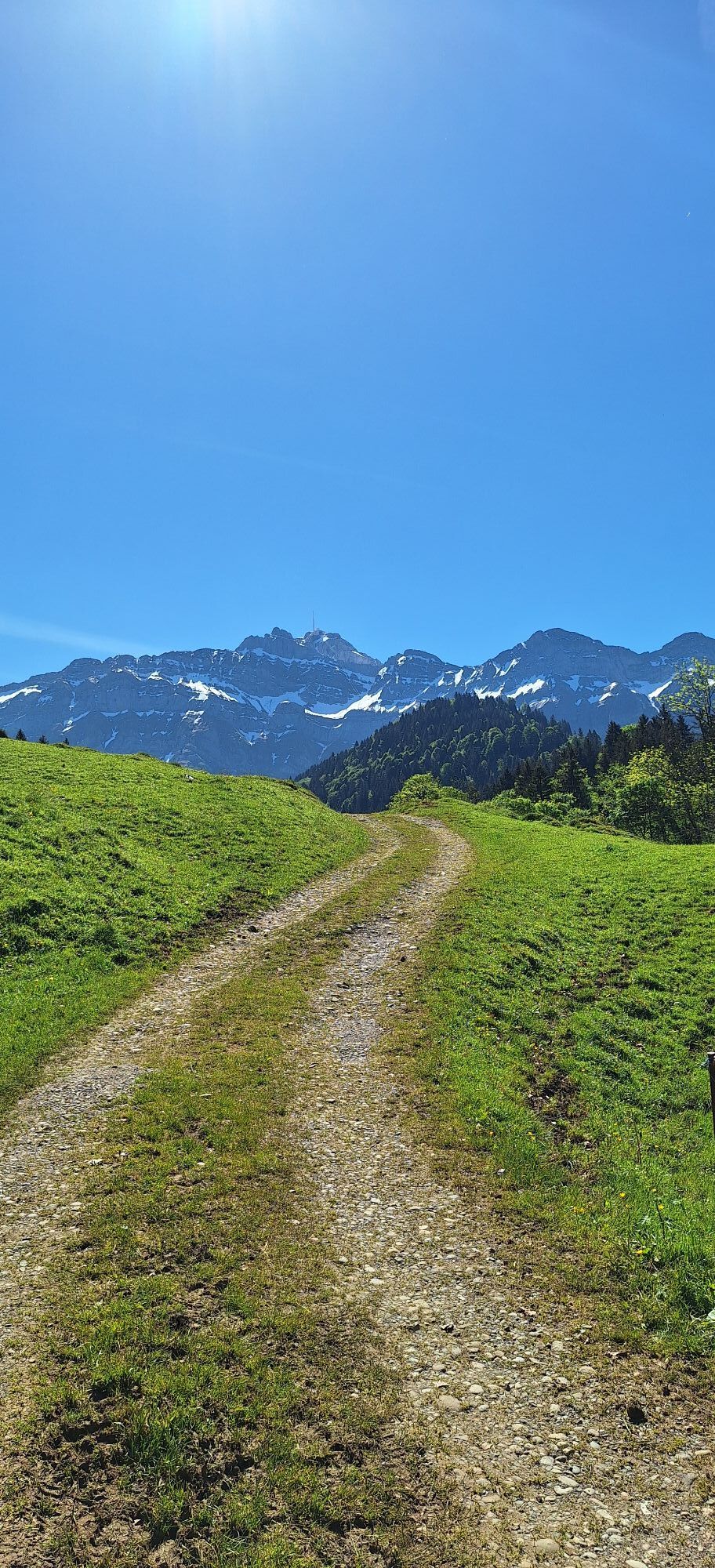
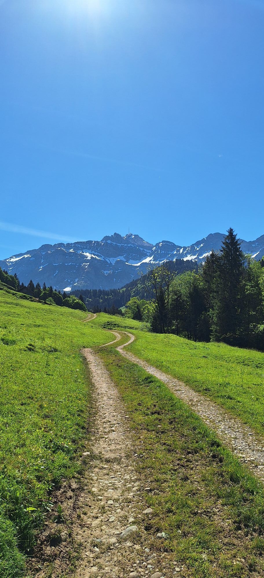
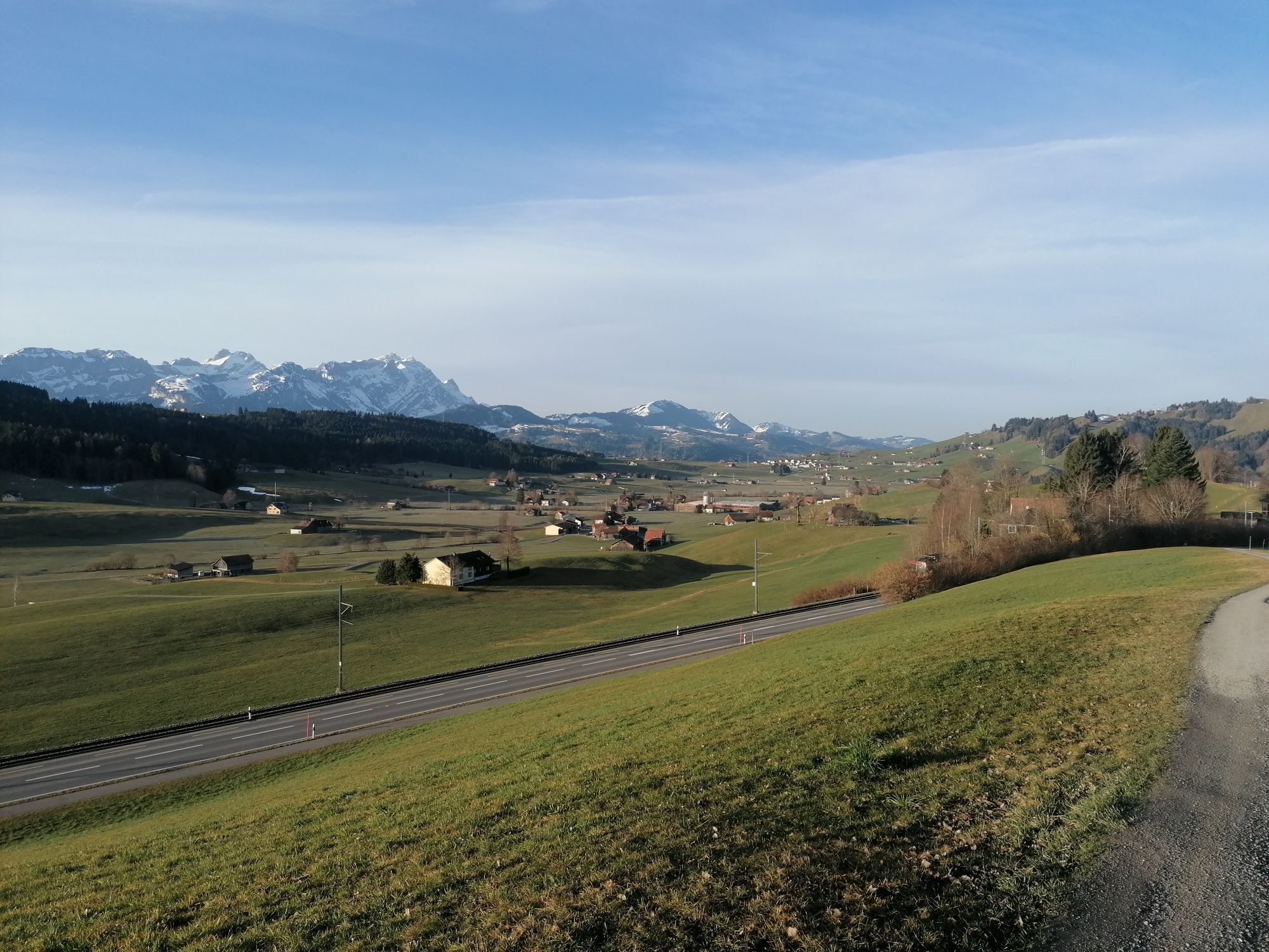
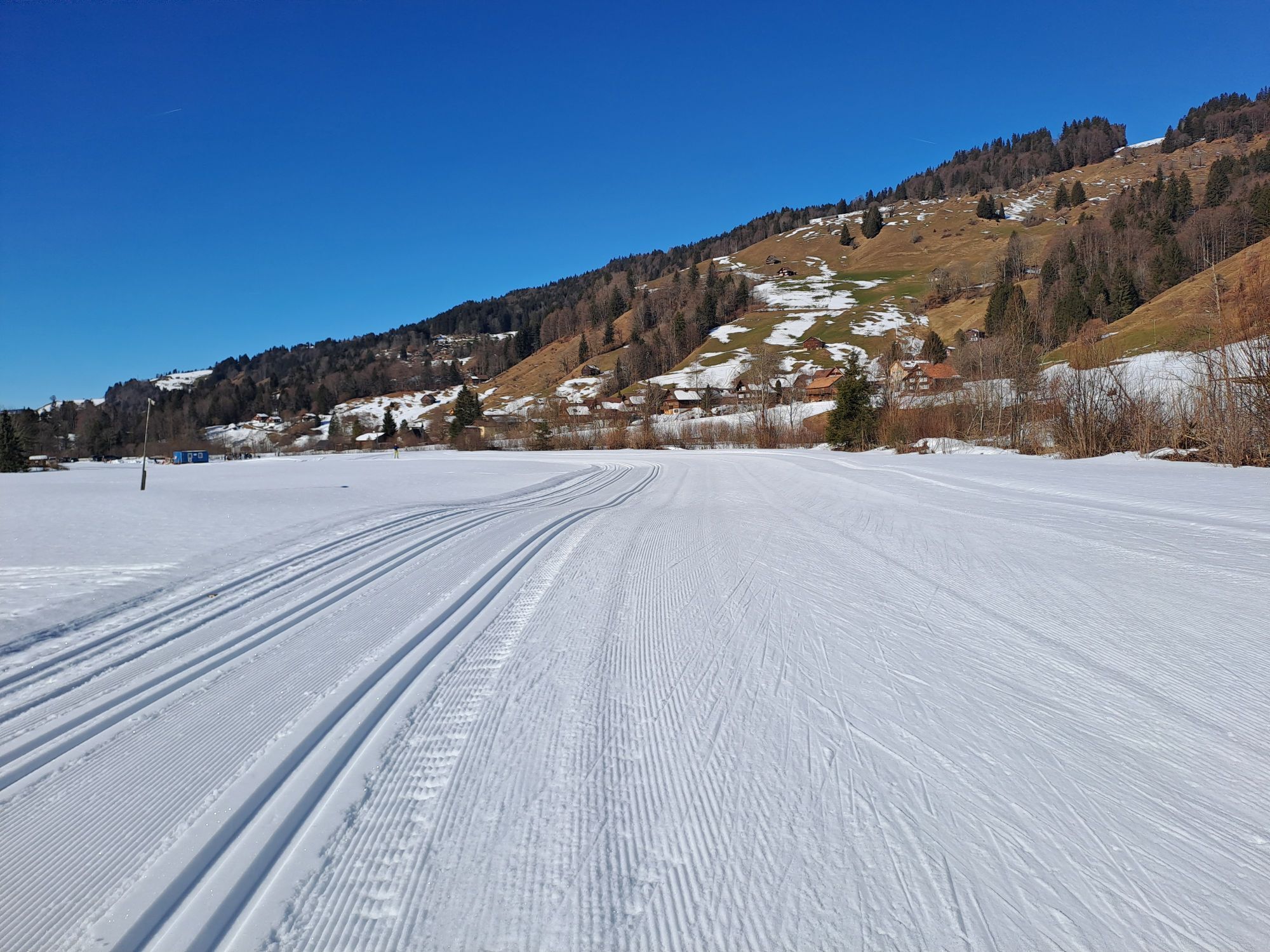
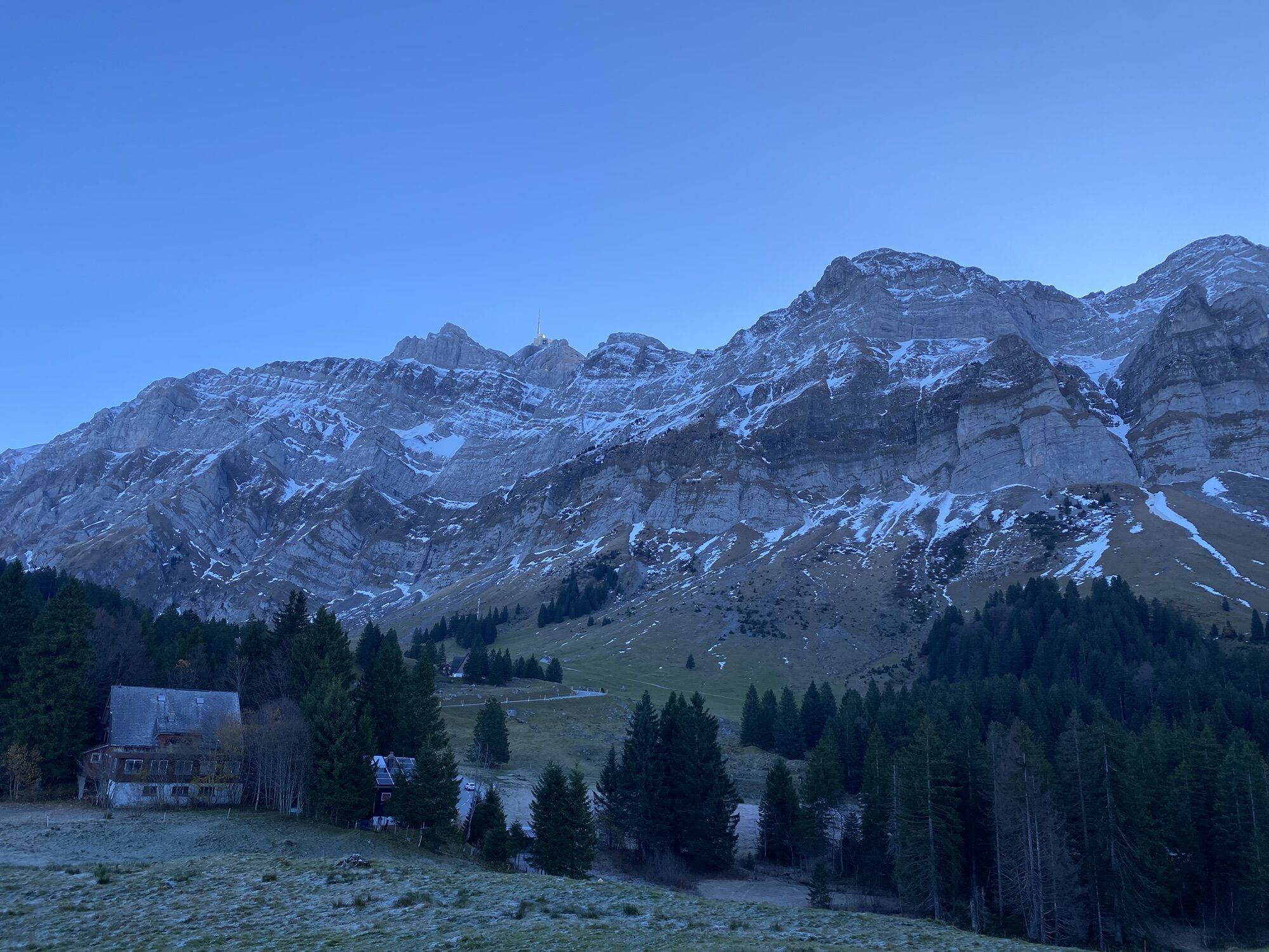
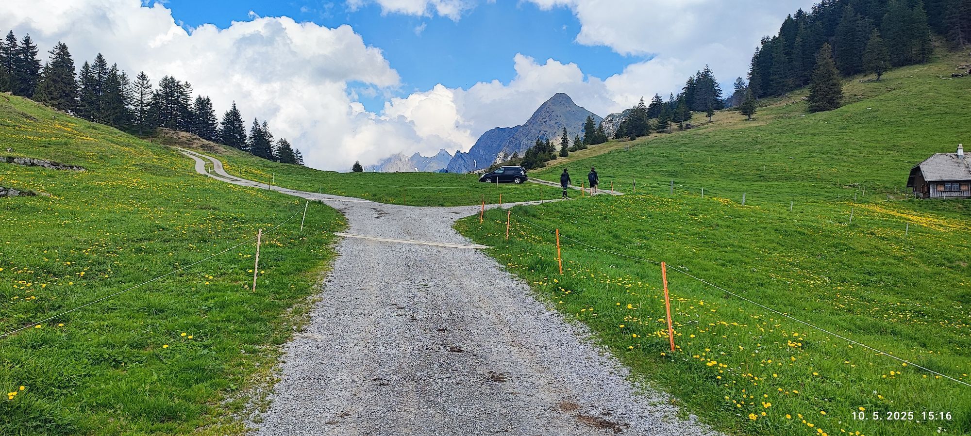
The Alpstein with the Säntis as a prominent point of reference is always present. The route requires good basic fitness and safe driving behavior but rewards with quiet side roads, long descents and impressive panoramic views.

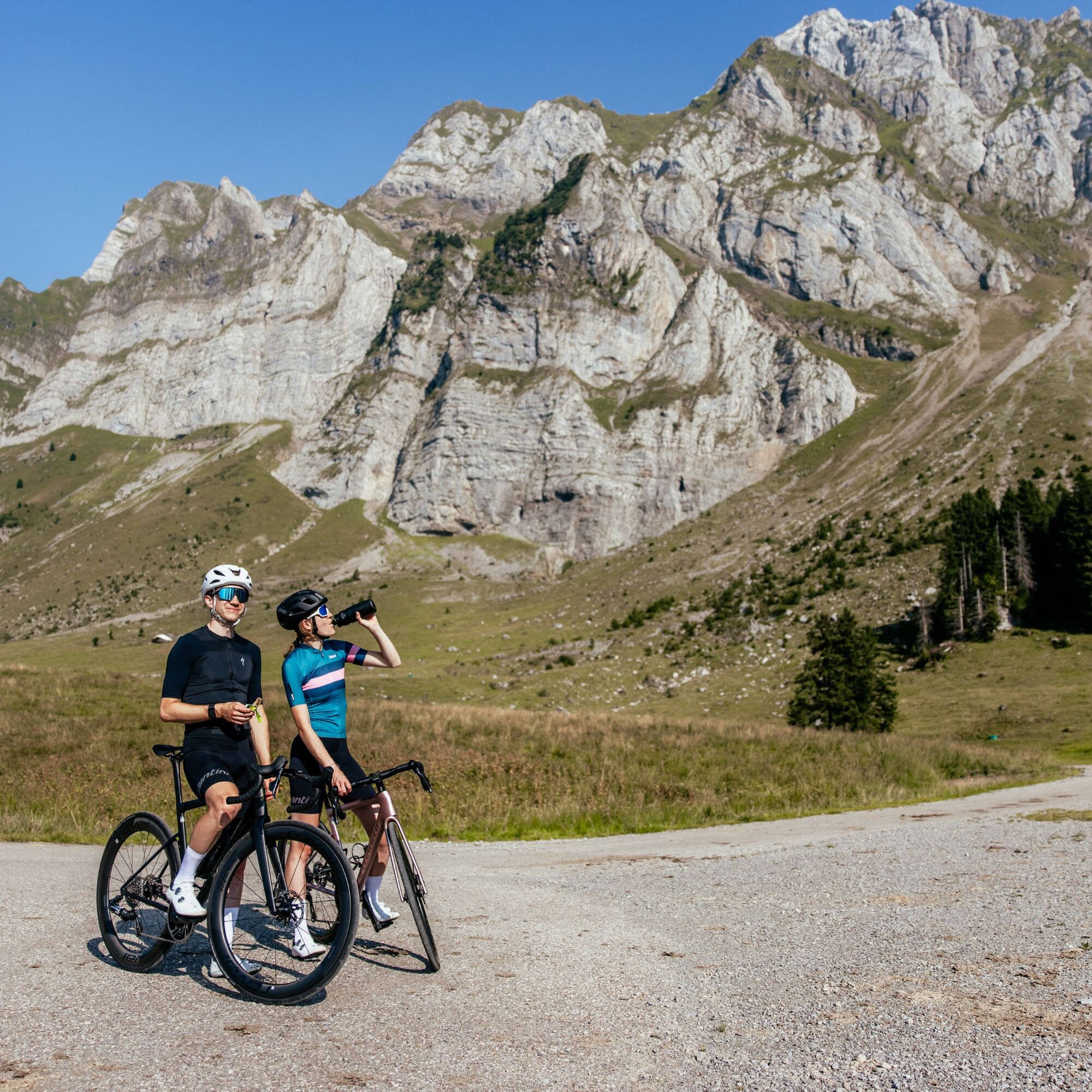
Traffic-safe road bike with good tires, bike helmet, weather-appropriate bike clothing in multi-layer principle, light wind jacket, grippy bike shoes, shatterproof cycling glasses, full-finger gloves, mobile phone and possibly phone mount, GPS device or map material, power bank, drinking bottle and holder, sufficient drinking water and provisions, small first aid kit, multitool, spare tube or tubeless repair kit, mini pump, chain lock as well as sun and rain protection.
Partially fast descents and busier sections in the Rhine Valley. Headwinds can occur during föhn.
- From Eastern Switzerland: From St. Gallen to Herisau and on over the Wasserfluh to Lichtensteig. Or from St. Gallen to Wil, take the Toggenburg exit. Follow the main road to Nesslau.
- From the southern German region: Via Bregenz and St. Margrethen on the A13 to Haag and take the exit towards Toggenburg/Wildhaus. Or via Konstanz to Wil, then take the Toggenburg exit and follow the main road to Nesslau.
4
Main Street 104
CH-9658 Wildhaus
Tel: +41 (0)71 999 99 11
Email: info@toggenburg.swiss
Internet: www.toggenburg.swiss
Ride early in the morning: less traffic in the Rhine Valley and best view of the Alpstein.
Webové kamery z prohlídky
Lisighaus - Wildhaus
Gamsalp - Wildhaus
Stein
Skilifte Alpsteinblick
Skilifte Alpsteinblick
Chäserrugg
Stein
Loipenhöttli Gonten
Loipenhöttli Gonten
Bergrestaurant Hochhamm - Schönengrund
Landgasthof Eischen - Appenzell
Appenzell - Hauptgasse
Hoher Kasten - Drehrestaurant
Hoher Kasten - Drehrestaurant
Urnäsch
Hoher Hirschberg
Säntis
Iltios - Chäserrugg
Hoher Kasten
Röthis Ost
Röthis West
Golfclub Montfort Rankweil
Gamplüt Bergrestaurant
Feldkirch / Bangs
Alp Sellamatt
Zinggen
Krummenau - Wolzenalp
Gasthof Bären Schlatt
Kronberg
Wintersberg - Landgasthof Sonne
Trogen Unterbach
Feldkirch / Gisingen
Feldkirch / Gisingen
Feldkirch / Nofels
Feldkirch / Nofels
Berggasthaus Alter Säntis
Berggasthaus Alter Säntis
Schönengrund - Wald
Gais Badi
Oblíbené prohlídky v okolí
- 4,7
Tour Brülisau - Saxerlücke - Hoherkasten⛰
heavyTuristika 16,6 km - 4,6
Wasserauen - Seealpsee - Wasserauen
středníTuristika 7,71 km - 4,9
Säntis-Gipfeltour, Wasserauen / Appenzell Innerrhoden
heavyTuristika 21,1 km - 5,0
Staubern-Runde (15.8.2021)
středníTuristika 8,65 km - 4,8
2 Seenwanderung Sämtisersee und Fälensee
středníTuristika 14,6 km - 4,9
Schwende, Appenzell Innerrhoden
středníTuristika 11,8 km - 4,6
Schwägalp - Berggasthaus Tierwies - Girenspitz - Säntis
heavyTuristika 4,83 km - 4,3
Traumhafte 3-Seen/Hütten Runde in Appenzell Schweiz
středníVysokohorská turistika 19,7 km - 4,6
Frümsen - Saxerlücke - Staubern, Schweiz
středníTuristika 14,0 km - 4,8
Mountain route over Rotsteinpass to Säntis
heavyTuristika 8,53 km
Pěší turistika a stopování


Nenechte si ujít nabídky a inspiraci pro vaši příští dovolenou
Vaše e-mailová adresa byl přidán do poštovního seznamu.