Navigace na stránkách
Pořiďte si tuto prohlídku do mobilního telefonu
Mapa
Wyland-Downtown
světlo
Jízda na kole
30.31 km
Naskenujte QR kód a spusťte navigaci v aplikaci bergfex.
QR Code
Pěší turistika a stopování
Stáhnout pro iOS
Stáhnout pro Android

Wyland-Downtown

Vzdálenost
30.3 km
Doba trvání
02:10 h
Ascent
257 hm
Hladina moře
376 - 499 m

Úroveň obtížnosti: 1

Stažení skladby
Mapa
Wyland-Downtown
světlo
Jízda na kole
30.31 km

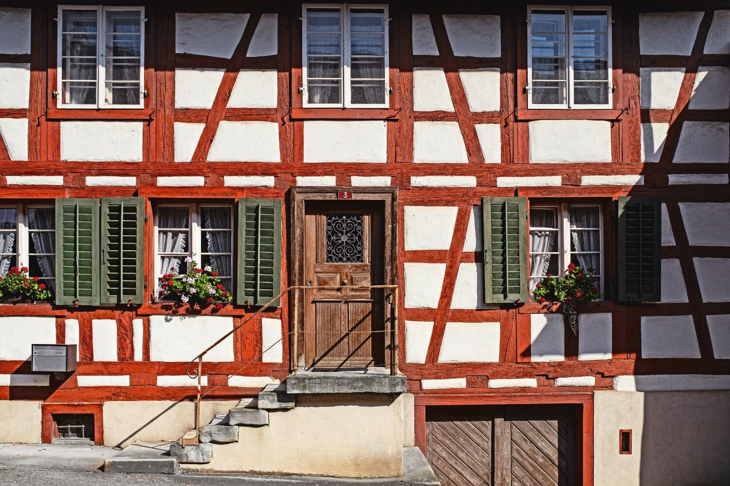
Swirling crowds of tourists in Stein am Rhein, proudly decorated timber-framed houses in Stammheim, the sluggishly flowing Thur in the flat lowlands, and the experimental interactive Technorama in Oberwinterthur...

Popis

Swirling crowds of tourists in Stein am Rhein, proudly decorated timber-framed houses in Stammheim, the sluggishly flowing Thur in the flat lowlands, and the experimental interactive Technorama in Oberwinterthur accompany this stage.
Trasa
Wagenhausen
(407 m)
Vesnice
1.0 km
Unterstammheim
(443 m)
Vesnice
8.3 km
Reformierte Kapelle
(444 m)
Místo konání bohoslužeb
14.3 km
Berg
(452 m)
Vypořádání
18.2 km
Stadel
(471 m)
Vesnice
23.4 km
Christliche Versammlung Hegmattenstrasse
(457 m)
Místo konání bohoslužeb
26.4 km
EMK Winterthur
(445 m)
Místo konání bohoslužeb
29.6 km
Trasa
Mapa
Wyland-Downtown
světlo
Jízda na kole
30.31 km
Stein am Rhein
(413 m)
Železniční stanice
0.0 km
Hofacker
(408 m)
Koridor/terén
1.0 km
Wagenhausen
(407 m)
Vesnice
1.0 km
Chlingeriet
(415 m)
Koridor/terén
1.4 km
Kaltenbach
(442 m)
Vesnice
1.9 km
Etzwilen
(437 m)
Vesnice
3.5 km
Etzwilen
(438 m)
Železniční stanice
3.6 km
Schweizerhof
(438 m)
Restaurace
3.7 km
Unterstammheim
(443 m)
Vesnice
8.3 km
Stammheim
(436 m)
Vesnice
8.6 km
La Stazione
(434 m)
Restaurace
8.8 km
Waltalingen
(429 m)
Vesnice
10.4 km
Krone
(472 m)
Restaurace
12.4 km
Oberneunforn
(470 m)
Vesnice
12.4 km
Niederneunforn
(445 m)
Vesnice
14.3 km
Reformierte Kapelle
(444 m)
Místo konání bohoslužeb
14.3 km
Mettelwis
(422 m)
Koridor/terén
14.6 km
Schneit
(378 m)
Vypořádání
16.4 km
Altikon
(393 m)
Vesnice
16.7 km
Berg
(452 m)
Vypořádání
18.2 km
Vordergrüt
(435 m)
Vypořádání
18.3 km
Kirch-Dinhard
(432 m)
Vypořádání
19.8 km
Landgasthof Freihof
(432 m)
Restaurace
20.2 km
Grundhof
(488 m)
Vypořádání
22.4 km
Frohsinn
(468 m)
Restaurace
23.3 km
Stadel Beizli
(468 m)
Restaurace
23.4 km
Stadel
(471 m)
Vesnice
23.4 km
Wallrüti
(464 m)
Sousedství
25.0 km
KG Wallrüti
(459 m)
Dětské hřiště
25.1 km
Guggenbühl
(459 m)
Sousedství
25.3 km
Pfaffenwiesen
(457 m)
Sousedství
25.7 km
Hegmatten
(457 m)
Sousedství
26.0 km
Christliche Versammlung Hegmattenstrasse
(457 m)
Místo konání bohoslužeb
26.4 km
Römertor
(457 m)
Sousedství
26.6 km
Oberwinterthur
(457 m)
Železniční stanice
26.7 km
Talwiesen
(453 m)
Sousedství
27.3 km
Rychenberg
(471 m)
Sousedství
28.9 km
Lind
(446 m)
Sousedství
29.2 km
Inneres Lind
(445 m)
Sousedství
29.4 km
EMK Winterthur
(445 m)
Místo konání bohoslužeb
29.6 km
Statt-Spiel-Platz Höhli
(443 m)
Dětské hřiště
29.9 km
Winterthur
(439 m)
Město
30.1 km
Altstadt
(441 m)
Sousedství
30.3 km
Informace o prohlídce

Stage 1, Stein am Rhein – Winterthur

Technologie
1 / 6
Stav
2 / 6
Krajina
6 / 6
Zkušenosti
5 / 6
Celoročně přístupné
Led
Úno
Bře
Dub
Kvě
Čen
Čec
Srp
Zář
Říj
Lis
Pro
Autor
Prohlídku Wyland-Downtown zajišťuje outdooractive.com.
Sdílet prohlídku
Mapa
Wyland-Downtown
světlo
Jízda na kole
30.31 km
Chyba
Došlo k chybě. Zkuste to prosím znovu.
Další informace a tipy
Úroveň obtížnosti

1

Další informace

Along the Wyland-Downtown route
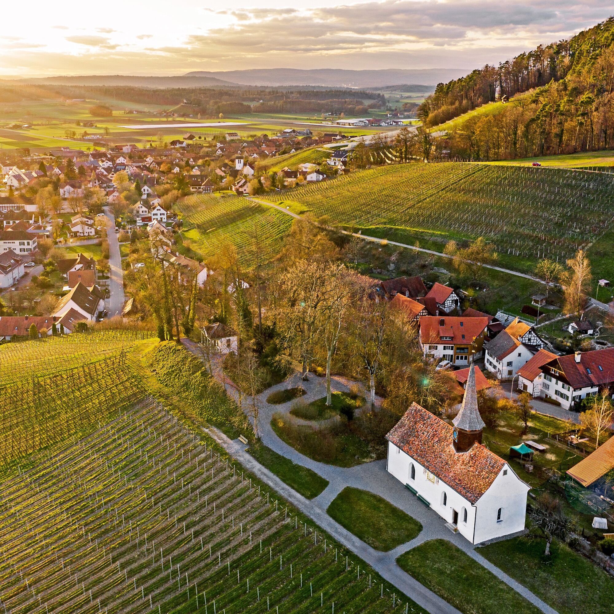
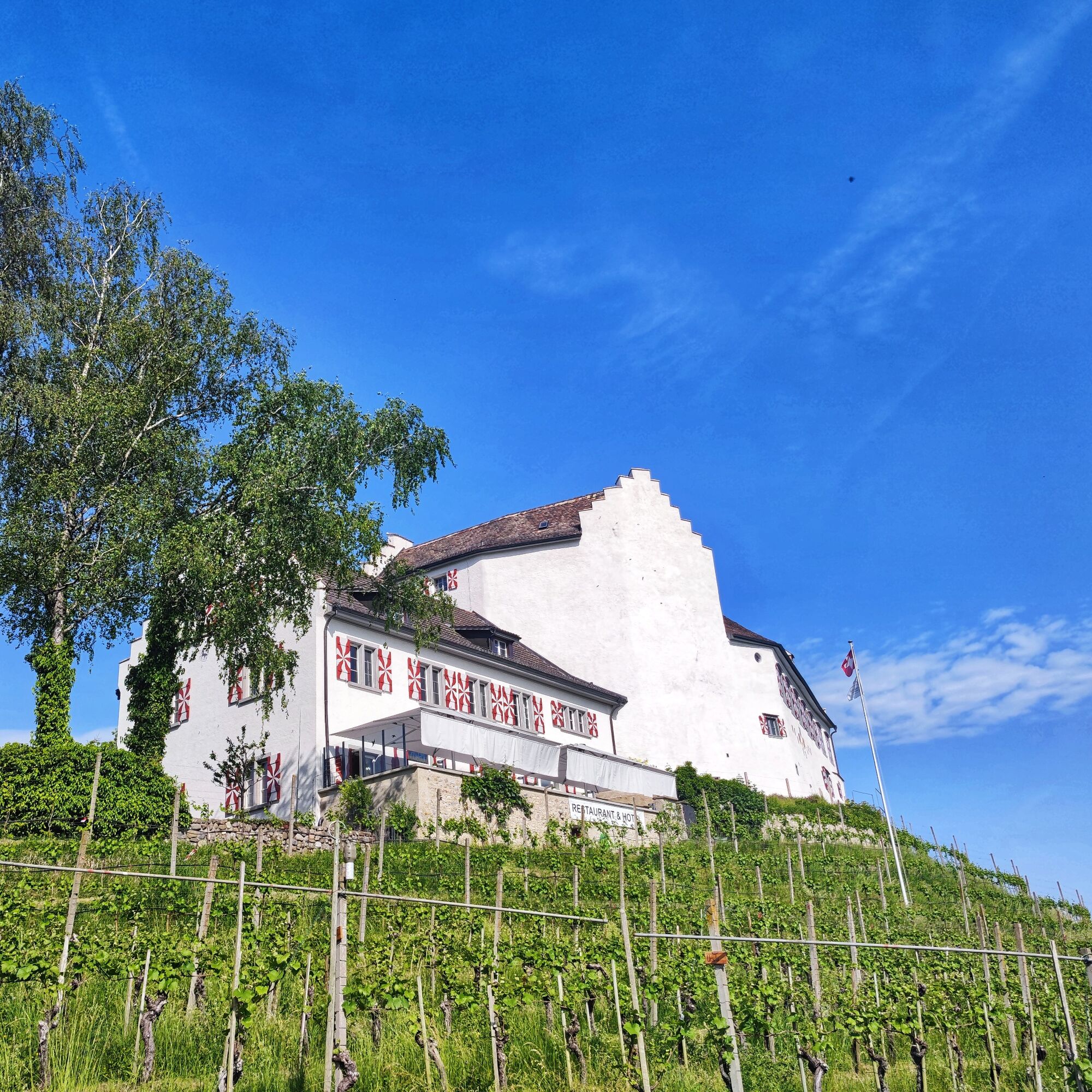
Vineyards, fields, timber-framed houses as an introduction, then through the wide lowlands of the Thur. In Winterthur, the interactive Technorama awaits those eager to experiment. Green recreational areas barely hint at the urban sprawl around Zurich.

More information about the Wyland-Downtown route and this stage can also be found on the SchweizMobil website SchweizMobil

Tipy

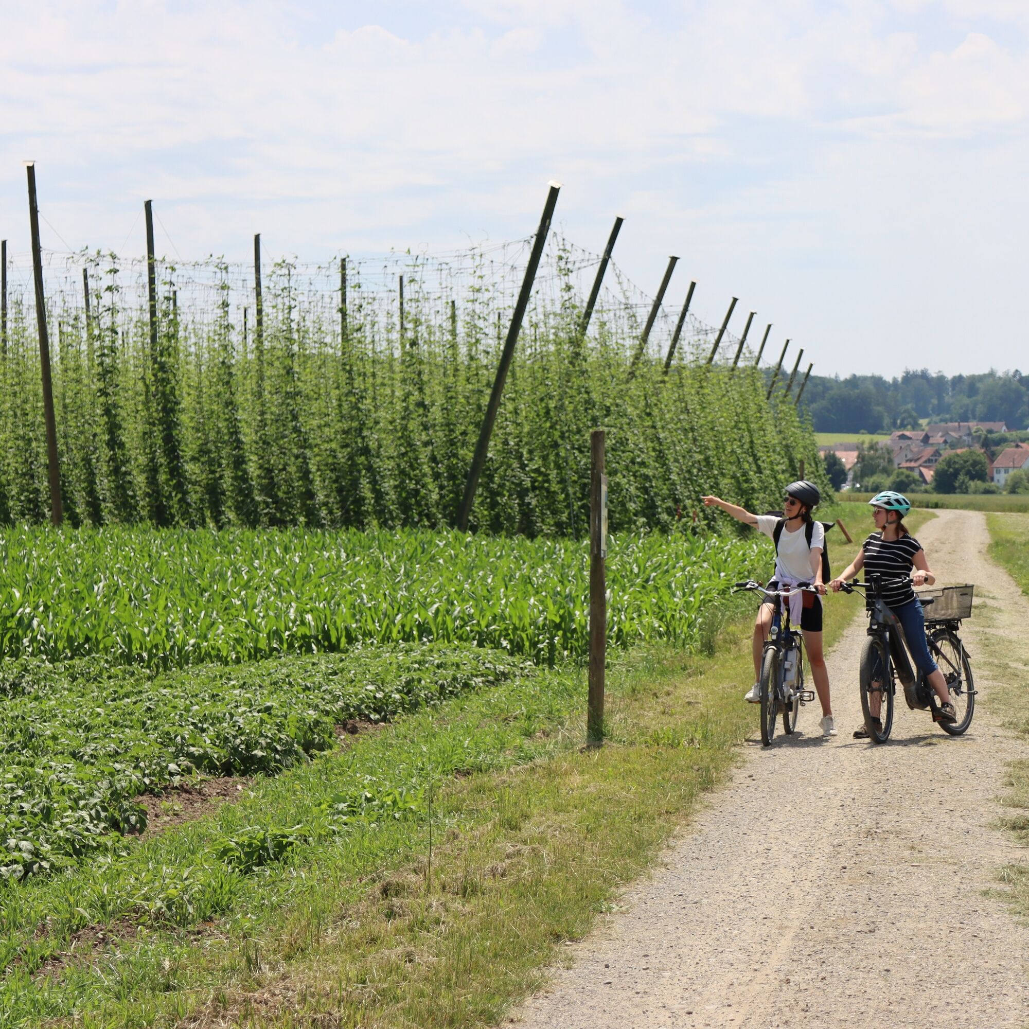
Along the way, a stop in Stammertal in the Zurich wine country. The area is known for hops and timber framing.

Pěší turistika a stopování

Pěší turistika a stopování

ke stažení pro iOSstáhnout pro Android
Pěší turistika a stopování
Více než 550.000 návrhů výletů, podrobné mapy a intuitivní plánovač tras dělají z aplikace nezbytnou výbavu pro všechny milovníky přírody.
bergfex