






Mountain bike route to Schwägalp
Úroveň obtížnosti: S1
Fotografie našich uživatelů
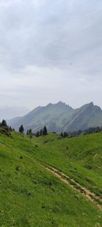
 © Joe TäschlerVytvořeno dne 10.06.2025
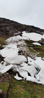 © Joe TäschlerVytvořeno dne 27.05.2025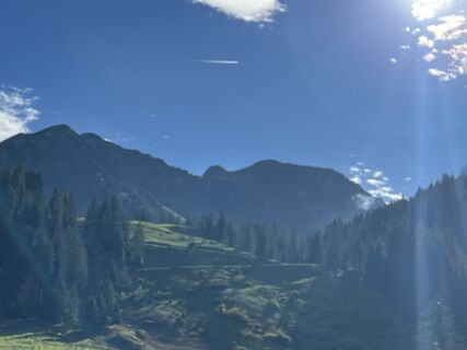
 © Peter WürmliVytvořeno dne 25.10.2024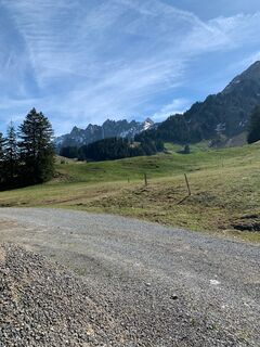
 © Ursula WernerVytvořeno dne 14.04.2024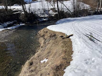
 © Francesco f ErnstVytvořeno dne 27.02.2026
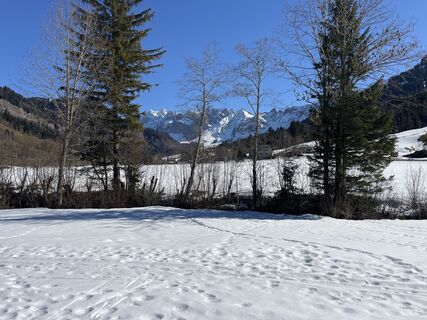 © Francesco f ErnstVytvořeno dne 27.02.2026
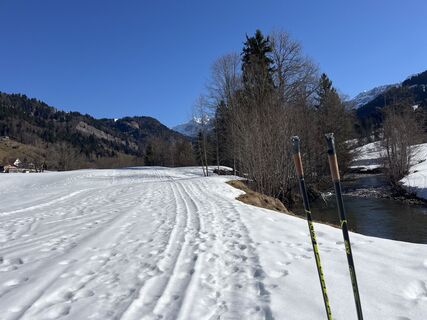 © Francesco f ErnstVytvořeno dne 27.02.2026
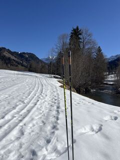 © Francesco f ErnstVytvořeno dne 27.02.2026
 © Francesco f ErnstVytvořeno dne 27.02.2026
 © Magnus MoserVytvořeno dne 08.02.2026
 © Magnus MoserVytvořeno dne 08.02.2026
 © Magnus MoserVytvořeno dne 08.02.2026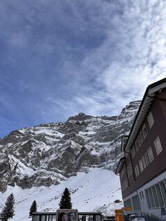
 © Cyrill BischofVytvořeno dne 27.01.2026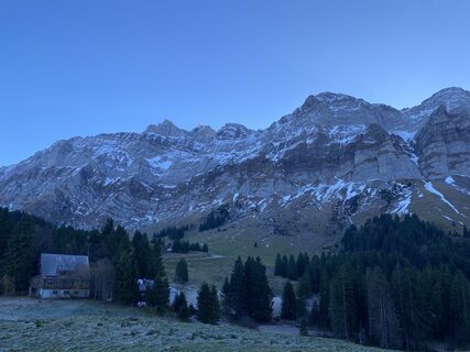
 © David AmreinVytvořeno dne 08.11.2025
 © Ewald ZweifelVytvořeno dne 20.09.2025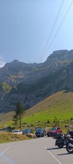
 © Franz Rieder 2Vytvořeno dne 27.08.2025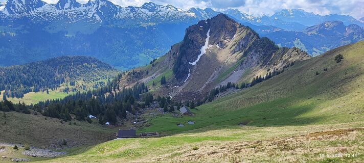
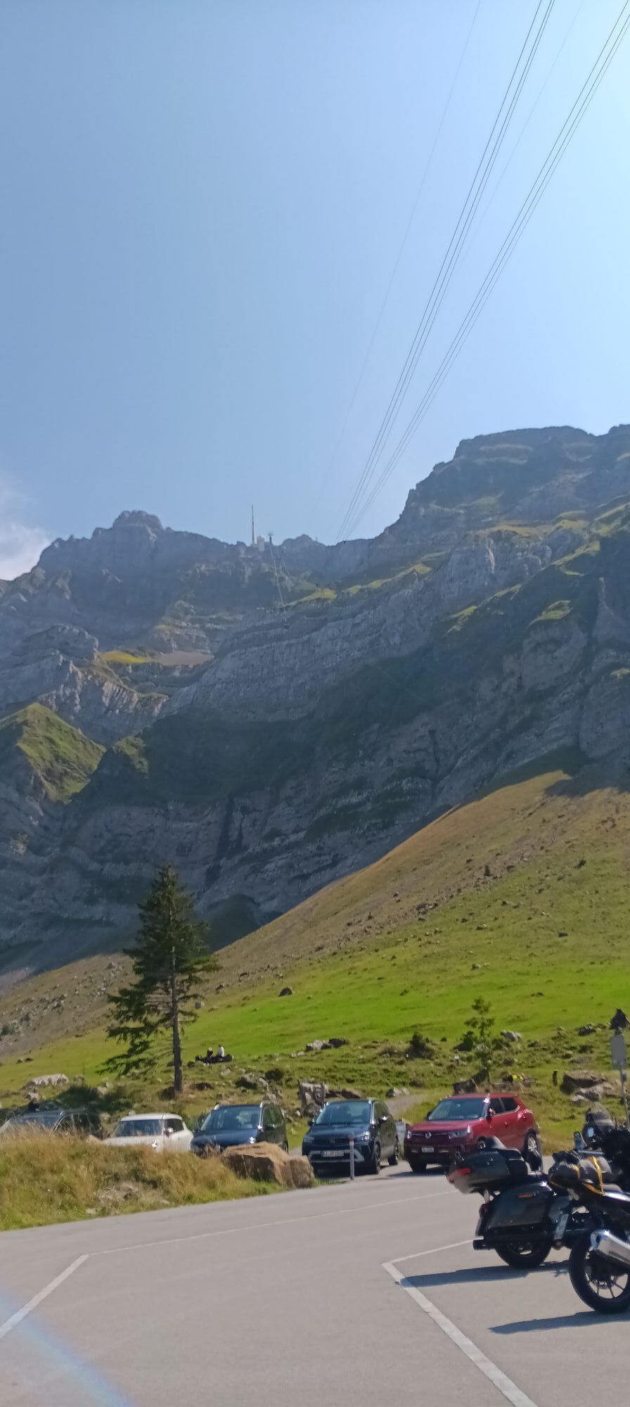
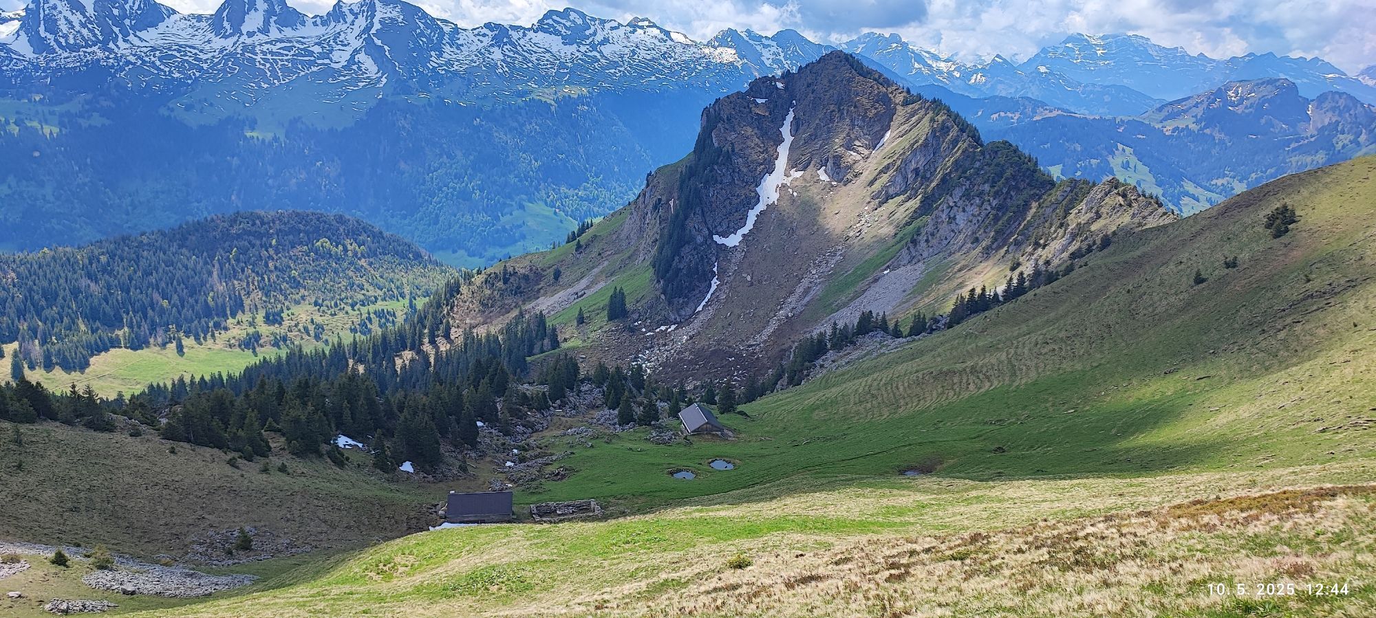
 © karči a lajčiVytvořeno dne 10.05.2025
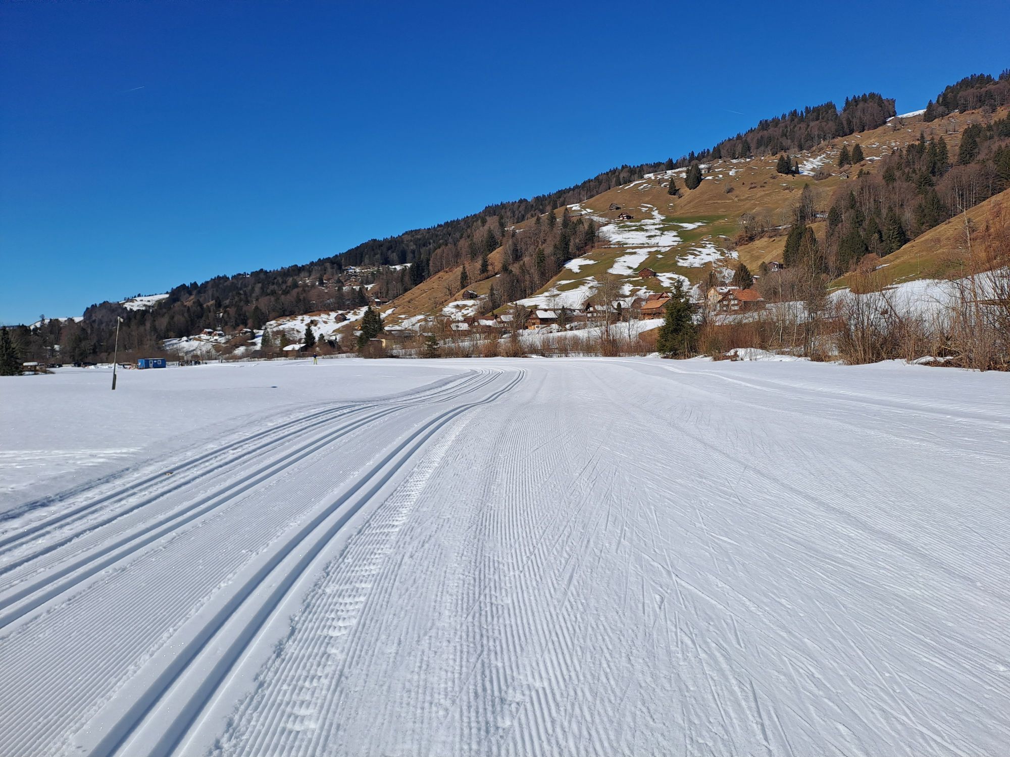
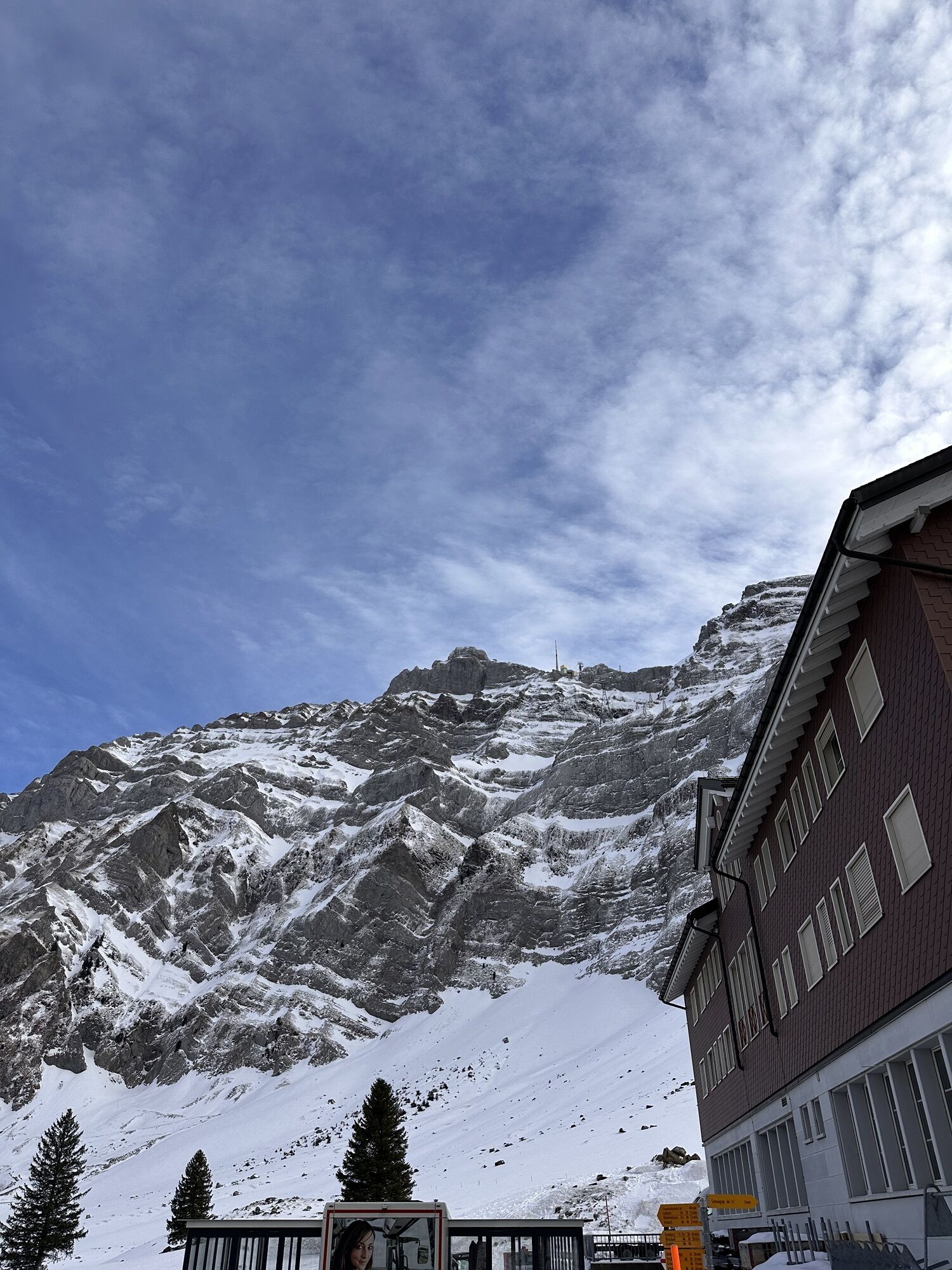
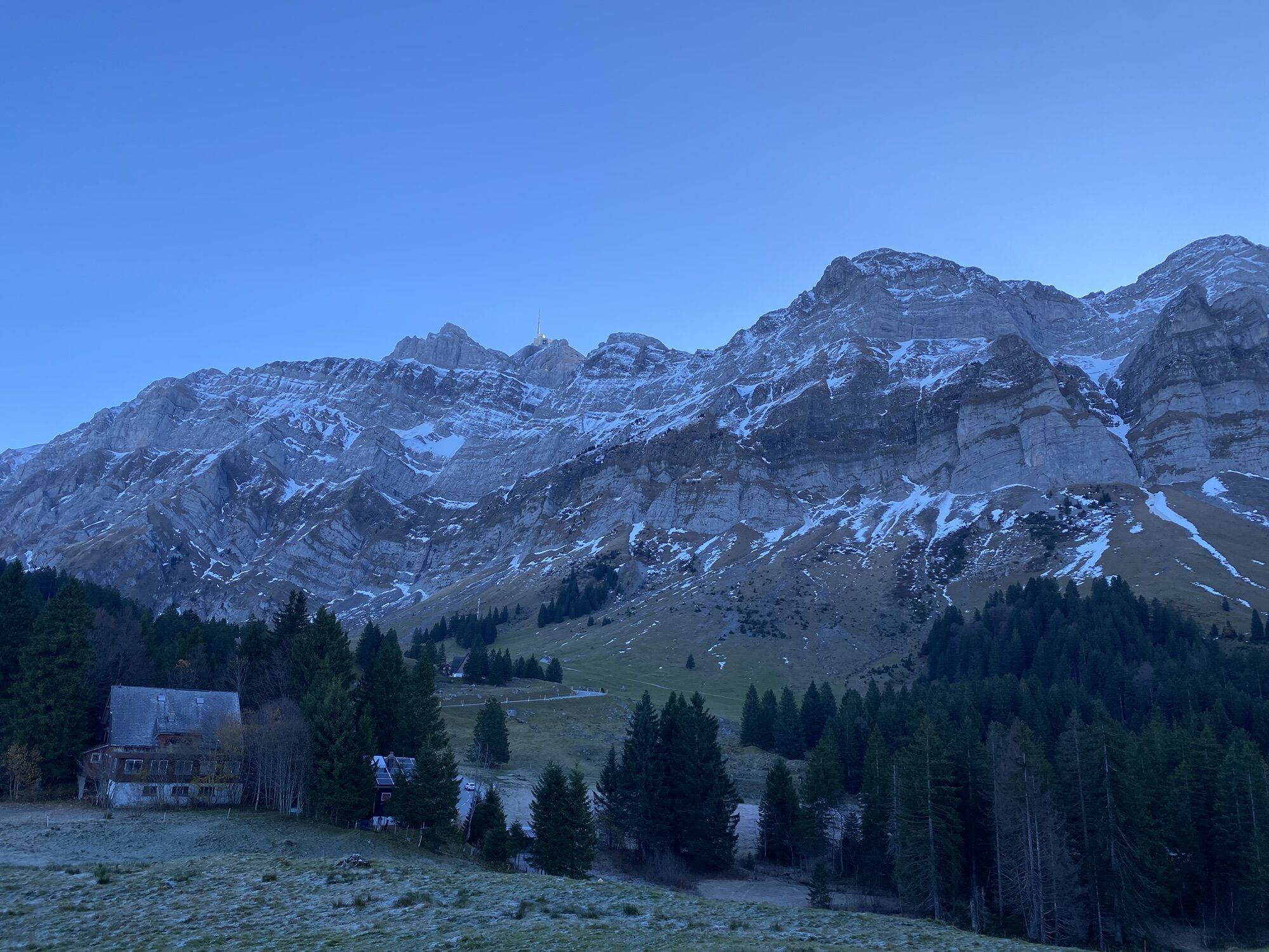
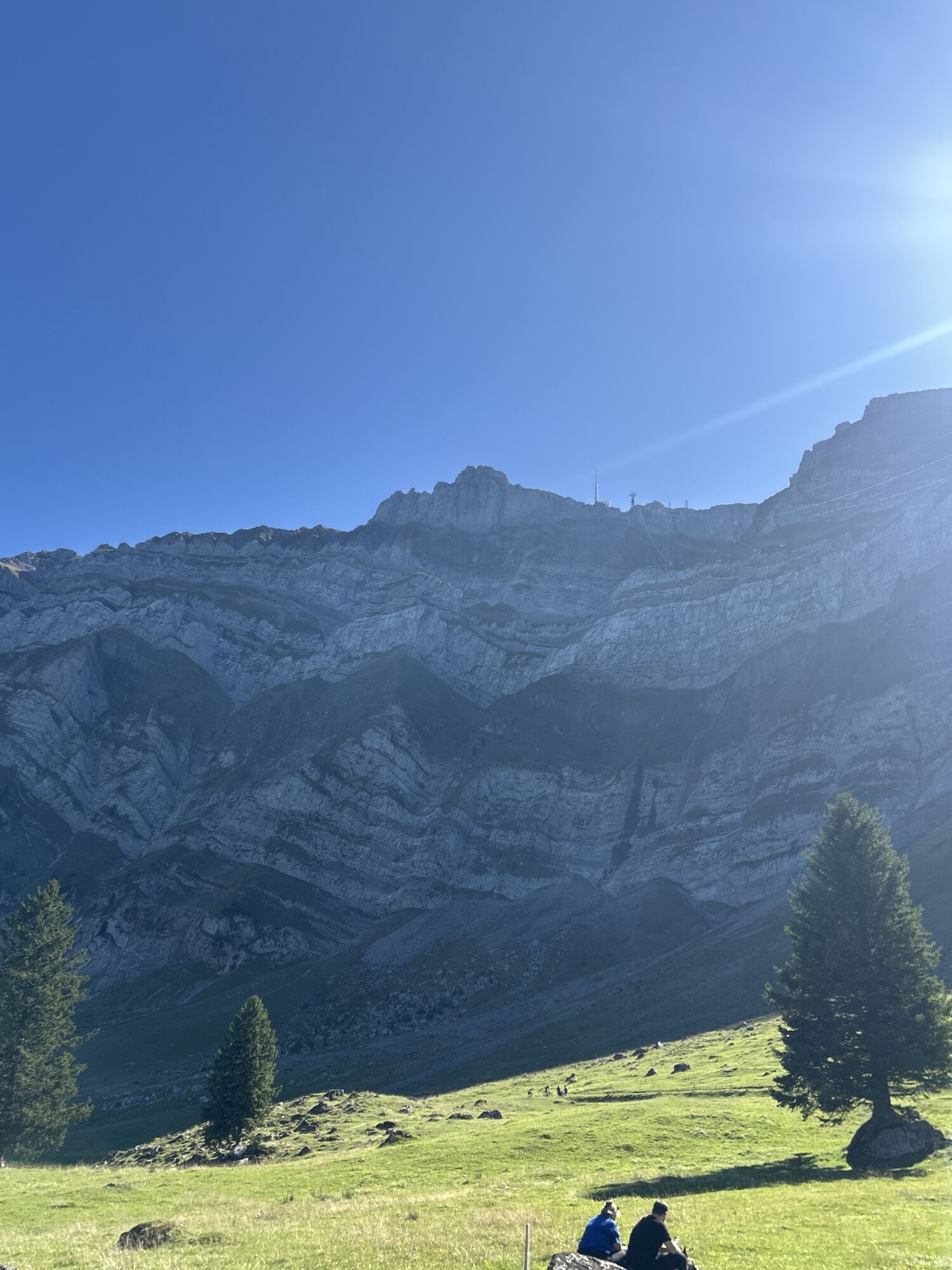
After starting at the Nesslau-Neu St. Johann train station, you quickly gain altitude on a little-trafficked paved road. After the first 300 meters of elevation gain, the character of the route changes...
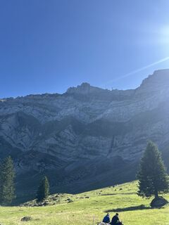
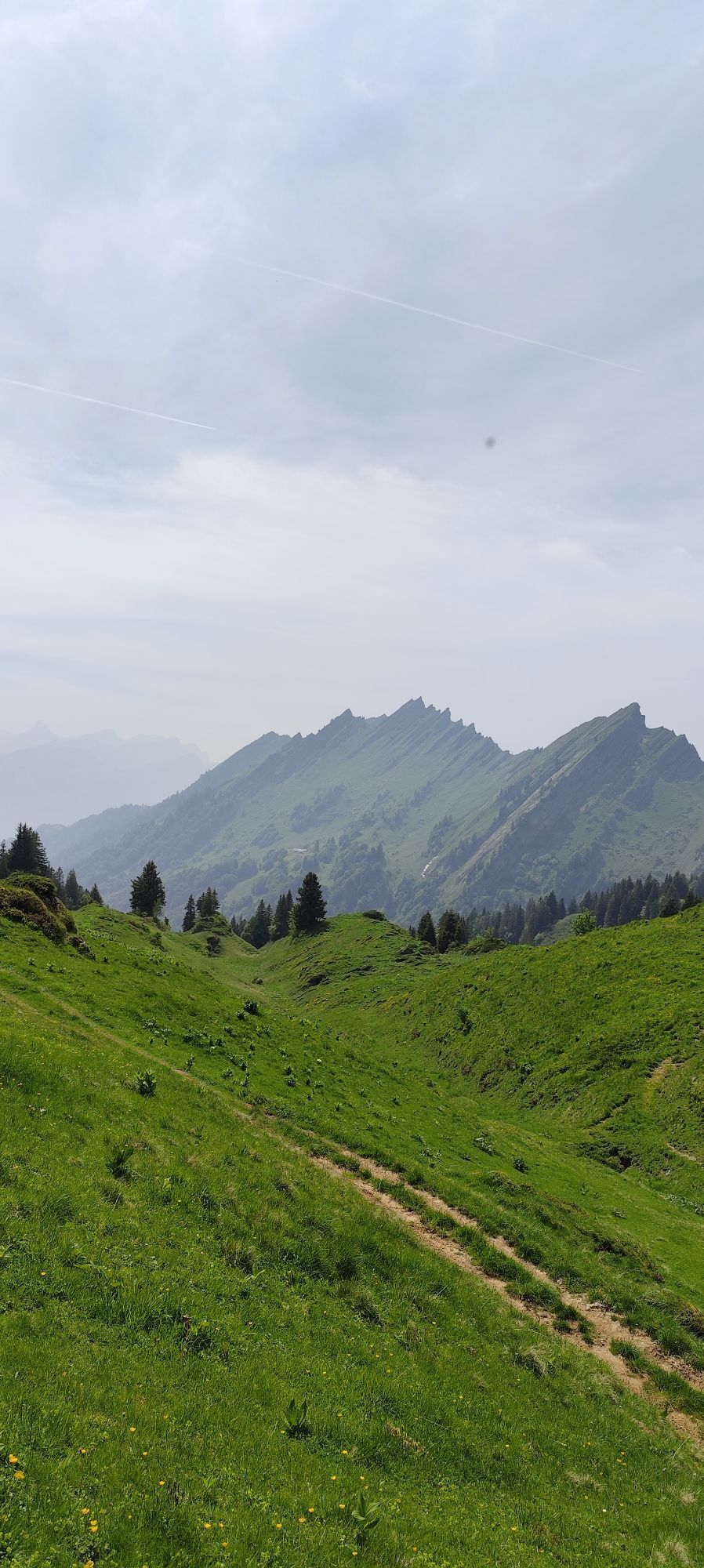
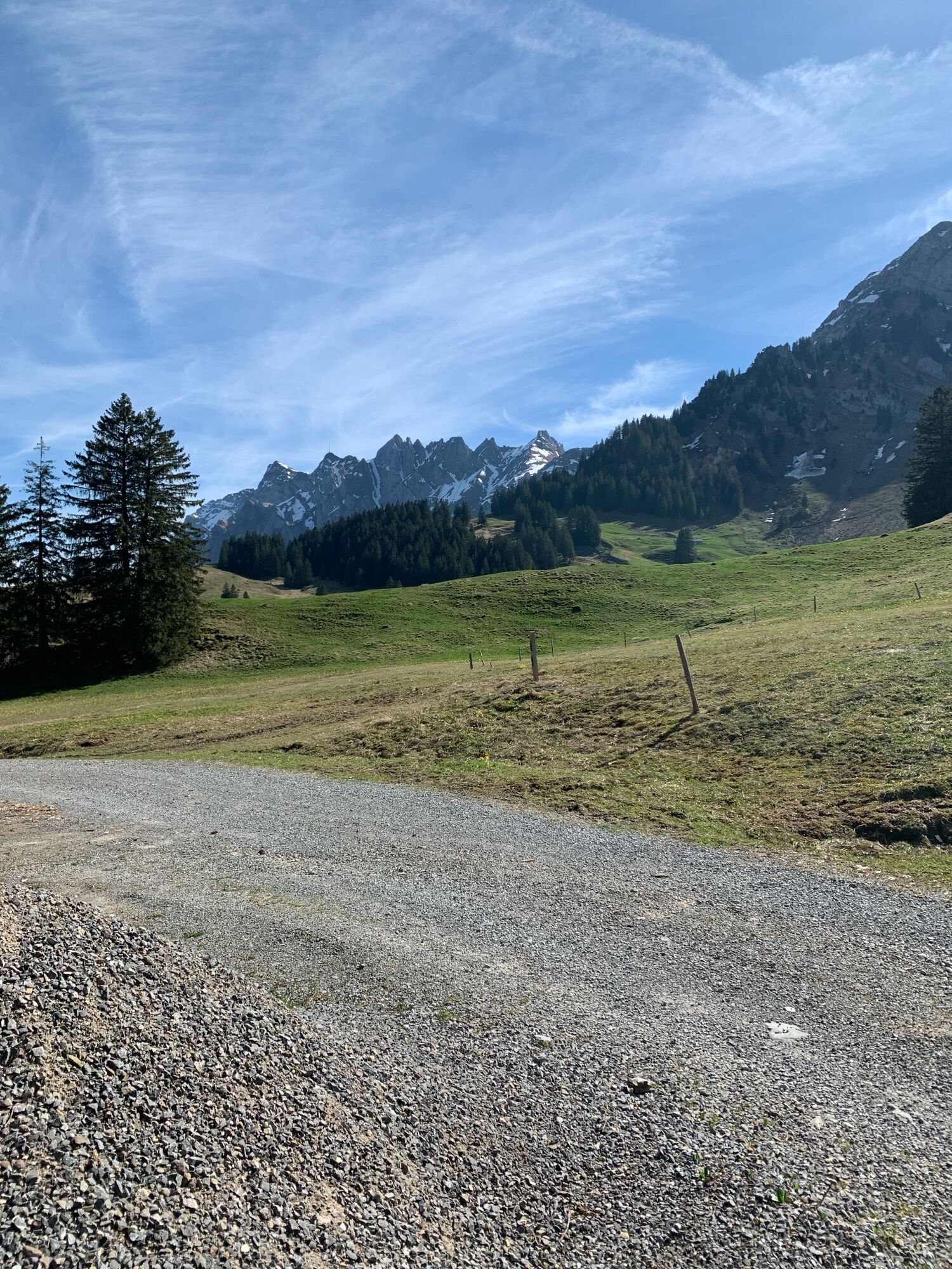
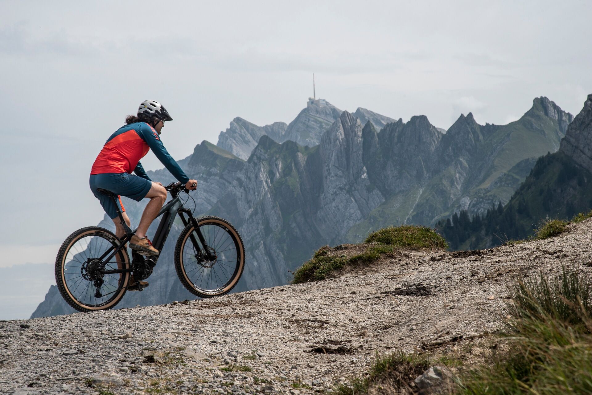
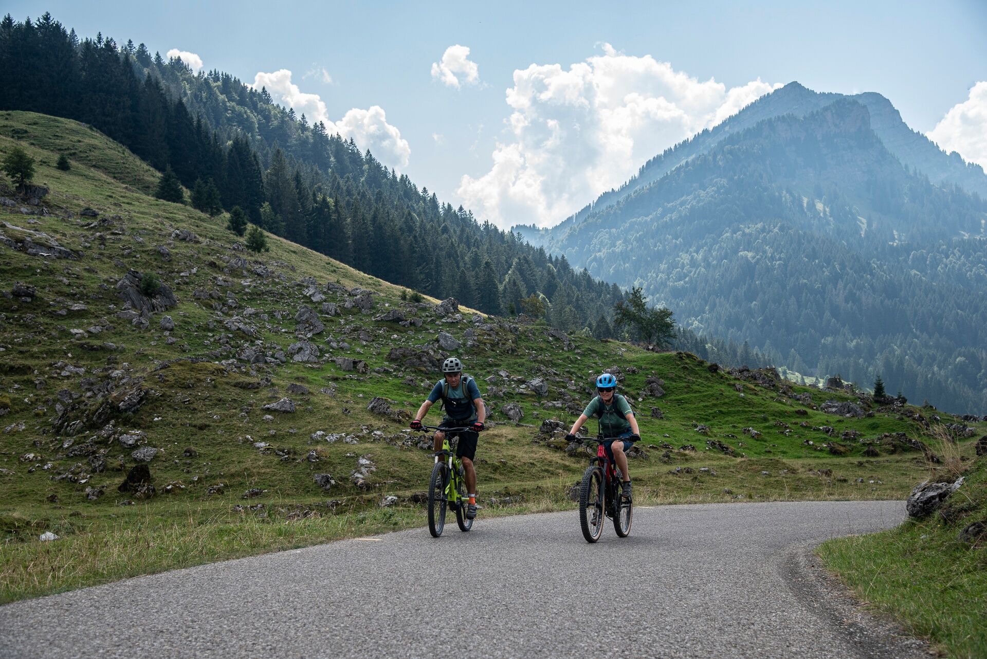
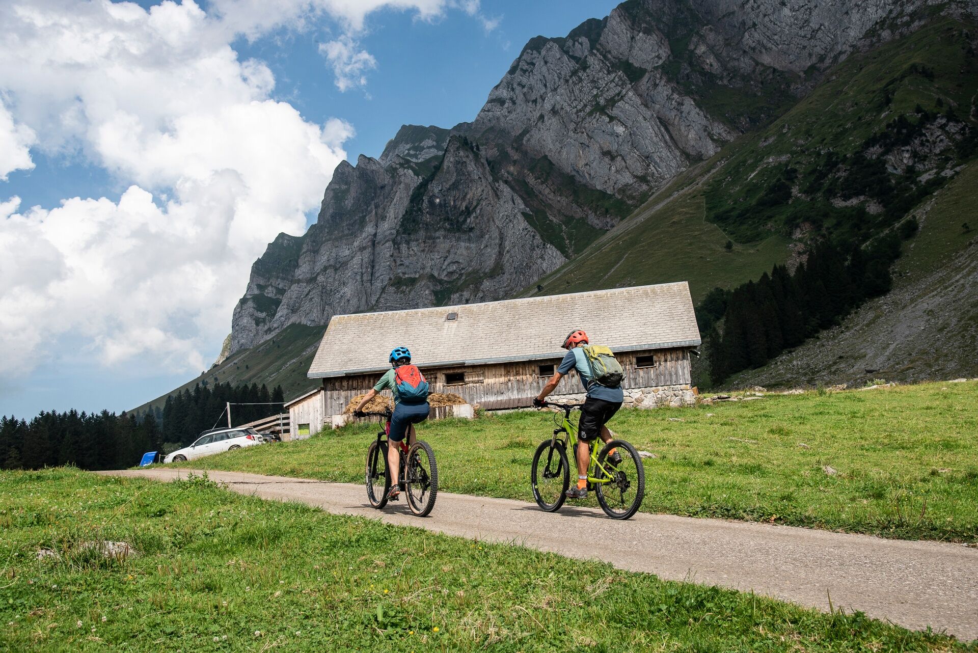
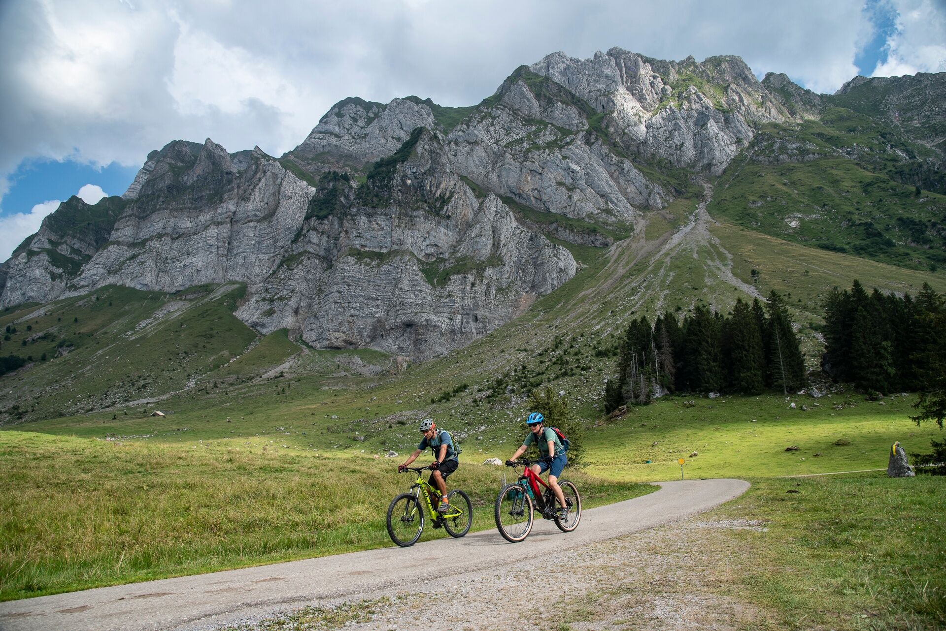
After starting at the Nesslau-Neu St. Johann train station, you quickly gain altitude on a little-trafficked paved road. After the first 300 meters of elevation gain, the character of the route changes completely: after a short descent on a field path, the route turns onto a narrow singletrail. Its steep entrance poses a real challenge even for e-mountain bikers. Soon the trail leads, although narrow, without technical difficulties along the edge of the slope. After a few minutes, you reach another narrow paved alpine road where you can steadily gain altitude. On the finally gravelled road, after 750 meters of elevation gain at the Risipass (1459 m), you reach the highest point of the route. From here, there is a great view over the rock faces of the Säntis massif. Looking back gives a great view of the Speer.
From here, the Alp farm Leser can be reached in a few minutes on a gravel alpine road – a beautiful and very scenic place for a break. A pause is worthwhile here – however, the hut, being powered only by solar power, does not offer the possibility to charge an e-bike.
The following descent is technically demanding and offers a short but steep and stony section. A treat for experienced mountain bikers – others overcome this spot by pushing down for a few minutes. Shortly after, the alpine meadows of the Lutertannen area are reached. From here, a very wide, paved alpine road makes its way over the high valley upwards towards Schwägalp. The road was built by the Swiss military and is part of a military training area. Information signs at the beginning of the road provide details about possible military activities but also warn against unexploded ordnance.
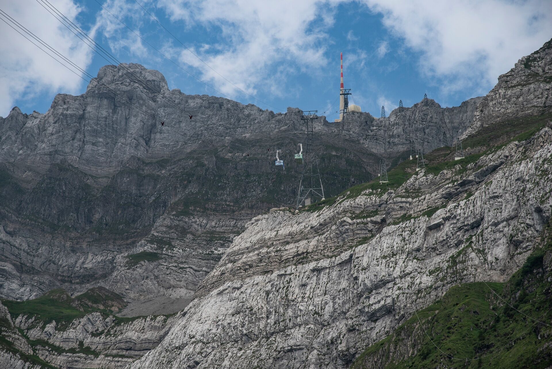
Thanks to the good road condition, the last 300 meters of the ascent to Schwägalp are completed quickly. At the top, the restaurant at the valley station of the Säntis cable car offers the opportunity for a stop and charging of e-bikes.
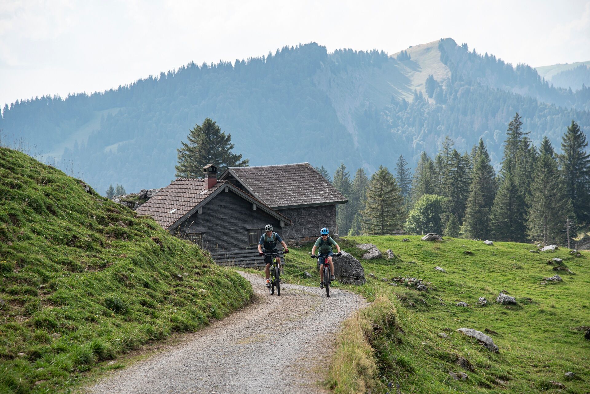
On the return journey, you first follow the Schwägalp pass road for about eight kilometers, which is sometimes busy with vehicles, motorcycles, and road cyclists. At the valley exit, the bike route finally turns left onto a gravel road that connects to the alpine roads above Nesslau. Over these, the starting point of the route is soon reached after a short descent.
E-bike charging option:
Valley station Säntis-Bahn Schwägalp
Note(s)
The routes are signposted only in the direction recommended by bikers.
Bike rental is possible at Velo Köbi in Nesslau by appointment.
Alp farms / mountain restaurants may not be open daily. Check before the tour.
Alp Leser: Tel: +41 (0)71 994 21 26
Schwägalp pass height: Tel: +41 (0)71 364 12 43

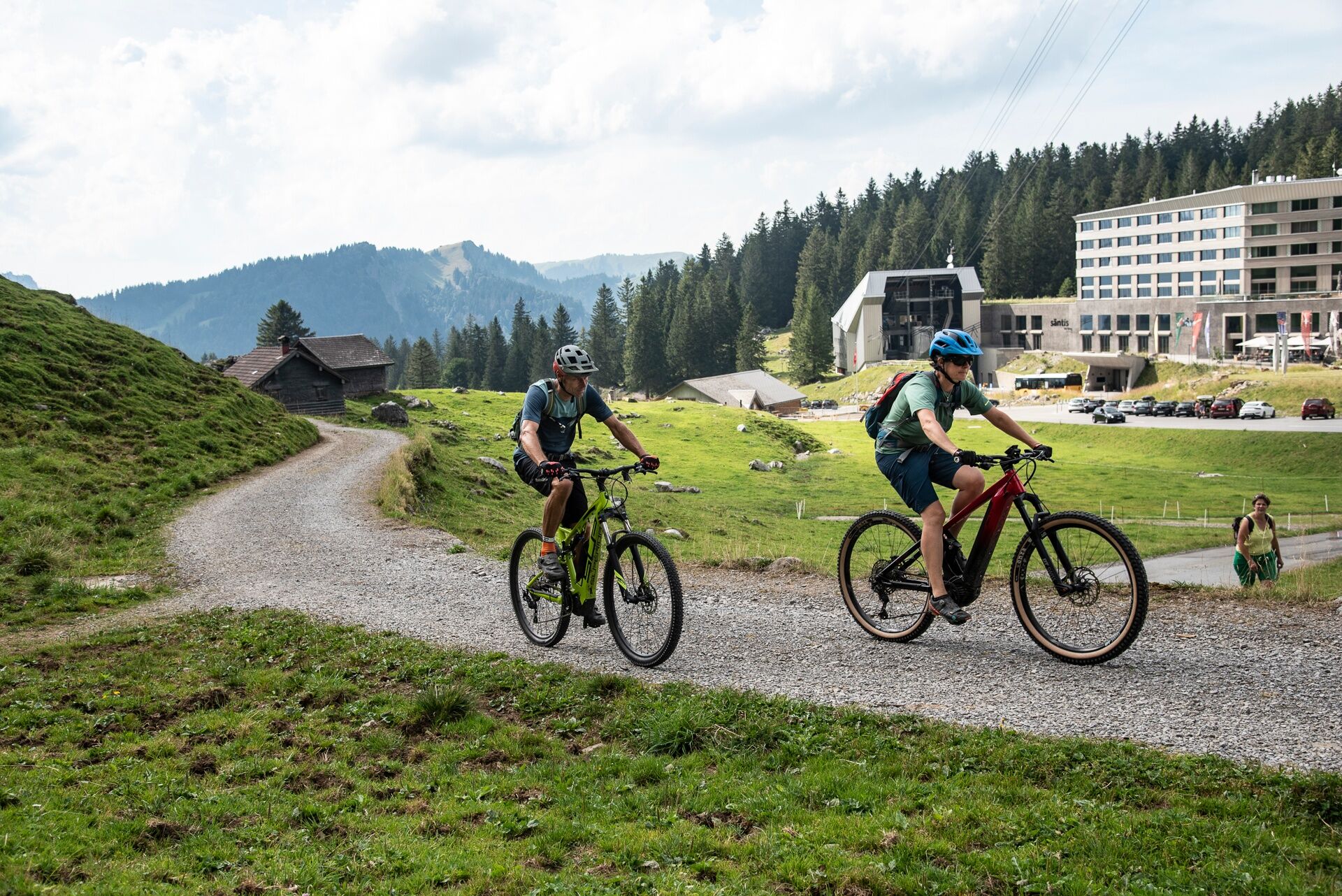
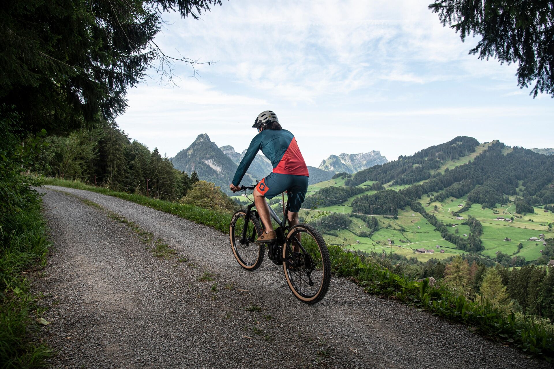
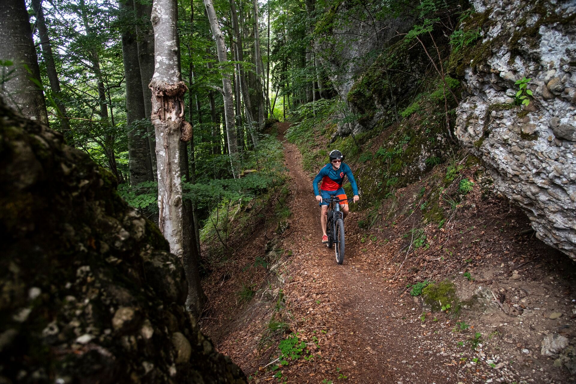

Nesslau - Badweiher - Schloh - Steinerberg - Risipass - Alp Leser - Lutertannen - Schwägalp - Lutertannen - Seeben - Weid - Strick - Heimetli - Badweiher - Nesslau
Safety-certified mountain bike with suspension travel, bicycle helmet, optionally elbow and knee pads, optionally back and shin protectors, day cycling backpack (approx. 20 liters) with rain cover, mountain bike shoes with ankle protection, weather-appropriate and durable clothing in multiple layers (e.g. functional shirt, cycling jersey, bib shorts, arm and leg warmers), shatterproof cycling glasses, full-finger gloves, air pump, bicycle tools, sun and rain protection, provisions and drinking water, water bottle and suitable holder, first-aid kit, pocket knife, mobile phone, optionally phone holder for the handlebar, optionally headlamp and reflectors, map material
During the alpine season, the path leads through cow pastures.
From the Greater Zurich Area and Central Switzerland:
Take the A3 at Reichenburg towards Rapperswil and then over the Ricken Pass to Wattwil. Then up the Toggenburg to Nesslau.
From Eastern Switzerland:
From St. Gallen to Herisau and continuing over Wasserfluh to Lichtensteig. Or from St. Gallen to Wil, take the Toggenburg exit. Follow the main road to Nesslau.
From Southern Germany:
Via Bregenz and St. Margrethen on the A13 to Haag and take the exit towards Toggenburg/Wildhaus. Or via Konstanz to Wil, then take the Toggenburg exit and follow the main road to Nesslau.
By train or bus to Nesslau-Neu St. Johann. You can find the current timetable at www.sbb.ch.
Free parking is available at the Nesslau train station.
S1
Hauptstrasse 104
9658 Wildhaus
+41 (0)71 999 99 11
The Alp farm Leser is known for its delicious Älplermagronen.
Získejte přehled Vždy živě na místě s více než 9 500 webkamerami. bergfex Jako uživatel Pro si nyní můžete zobrazit odpovídající webové kamery pro mnoho prohlídek v aplikaci prohlídky z. Můžete si tak přímo prohlédnout aktuální podmínky. Oblíbené prohlídky v okolí
- 4,7
Walensee Riviera Weesen - Quinten
středníTuristika 10,2 km - 4,7
Riviera Lake Walen Walenstadt-Quinten
středníTuristika 10,4 km - 4,7
Wasserauen - Seealpsee - Wasserauen
středníTuristika 7,71 km - 4,9
Säntis-Gipfeltour, Wasserauen / Appenzell Innerrhoden
heavyTuristika 21,1 km - 5,0
Staubern-Runde (15.8.2021)
středníTuristika 8,65 km - 5,0
Traumhafte 3-Seen/Hütten Runde in Appenzell Schweiz
středníVysokohorská turistika 19,7 km - 4,6
Schwägalp - Berggasthaus Tierwies - Girenspitz - Säntis
heavyTuristika 4,83 km - 5,0
Schrina Alp and Cultural Trail
středníTematická stezka 11,5 km - 4,6
Frümsen - Saxerlücke - Staubern, Schweiz
středníTuristika 14,0 km - 4,9
Schwende, Appenzell Innerrhoden
středníTuristika 11,8 km
Pěší turistika a stopování


Nenechte si ujít nabídky a inspiraci pro vaši příští dovolenou
Vaše e-mailová adresa byl přidán do poštovního seznamu.





