



Panüöl Trail 465

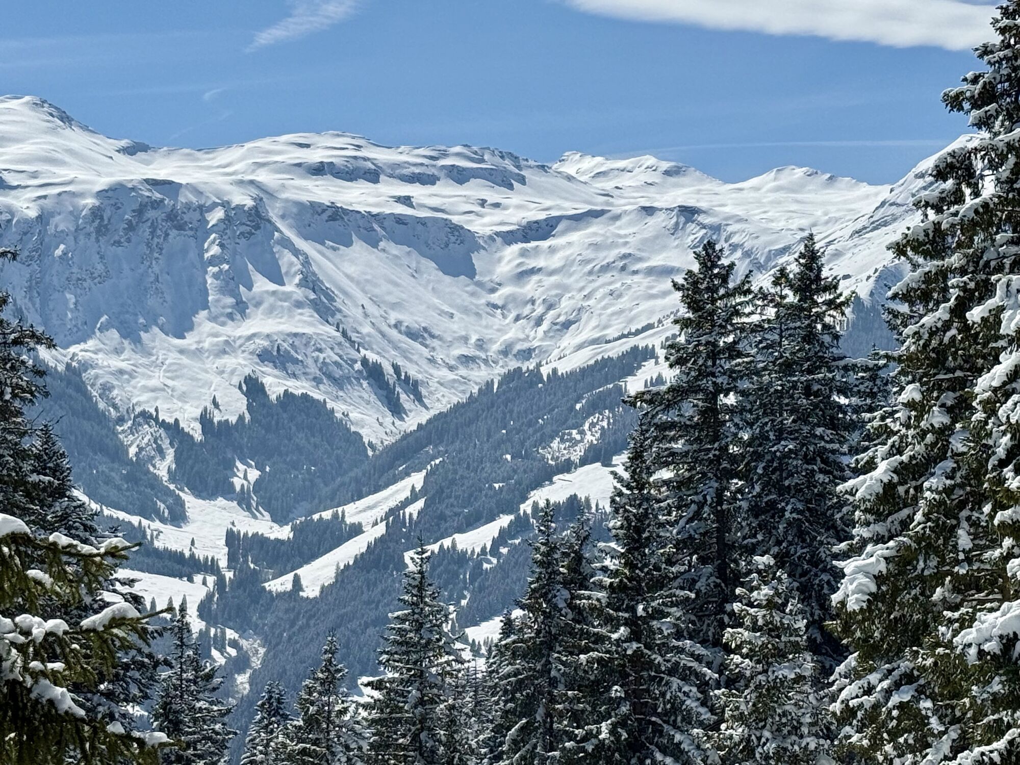
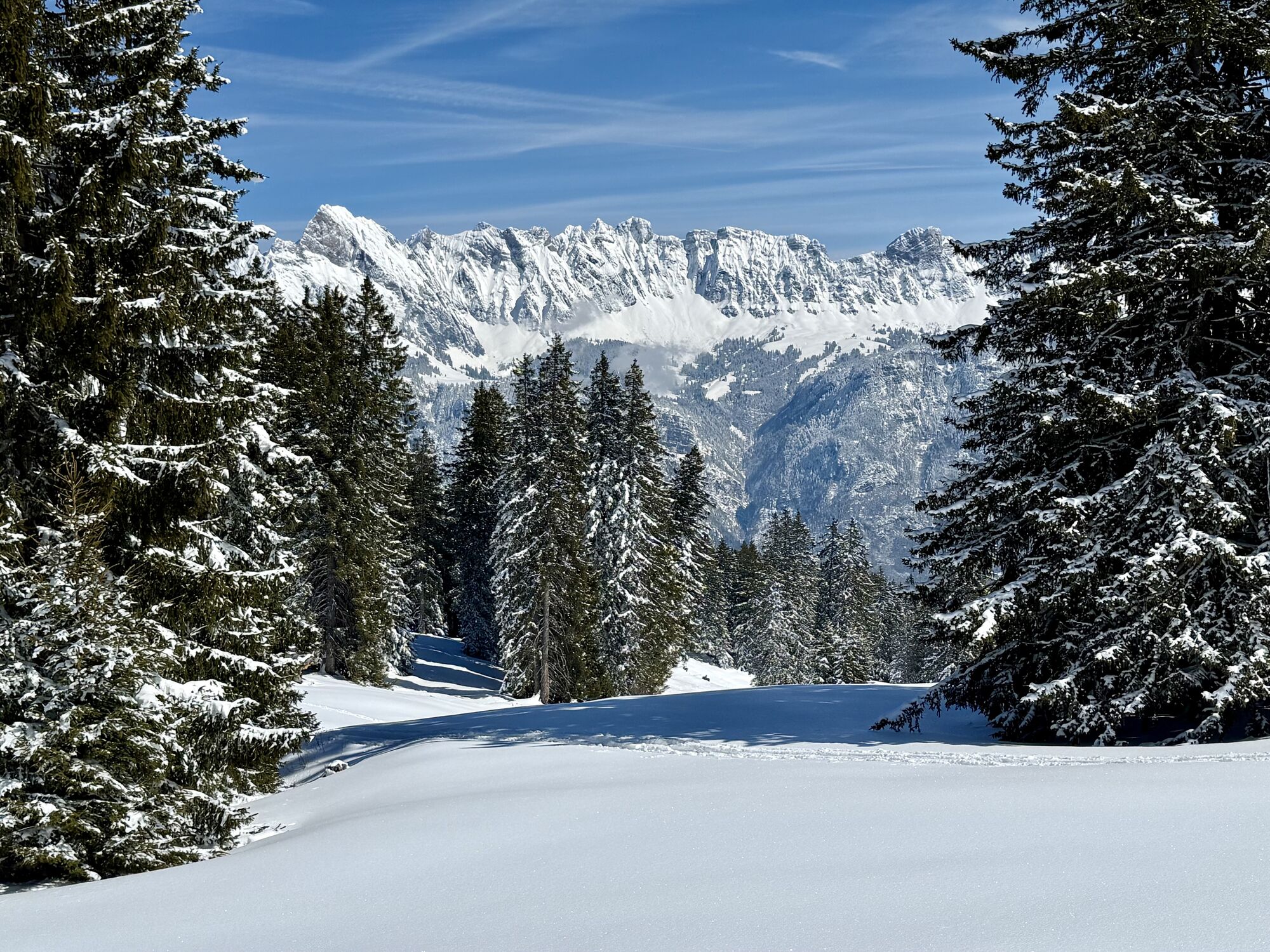
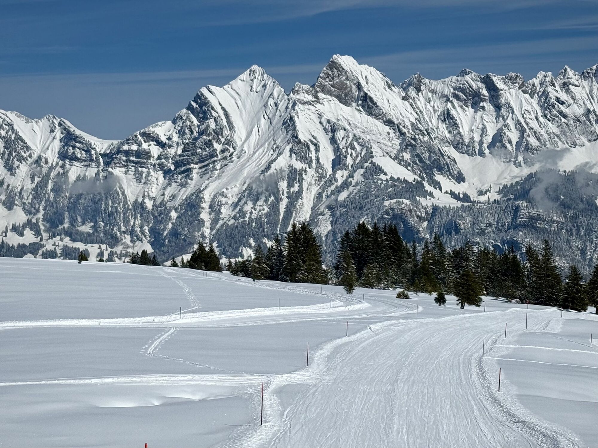
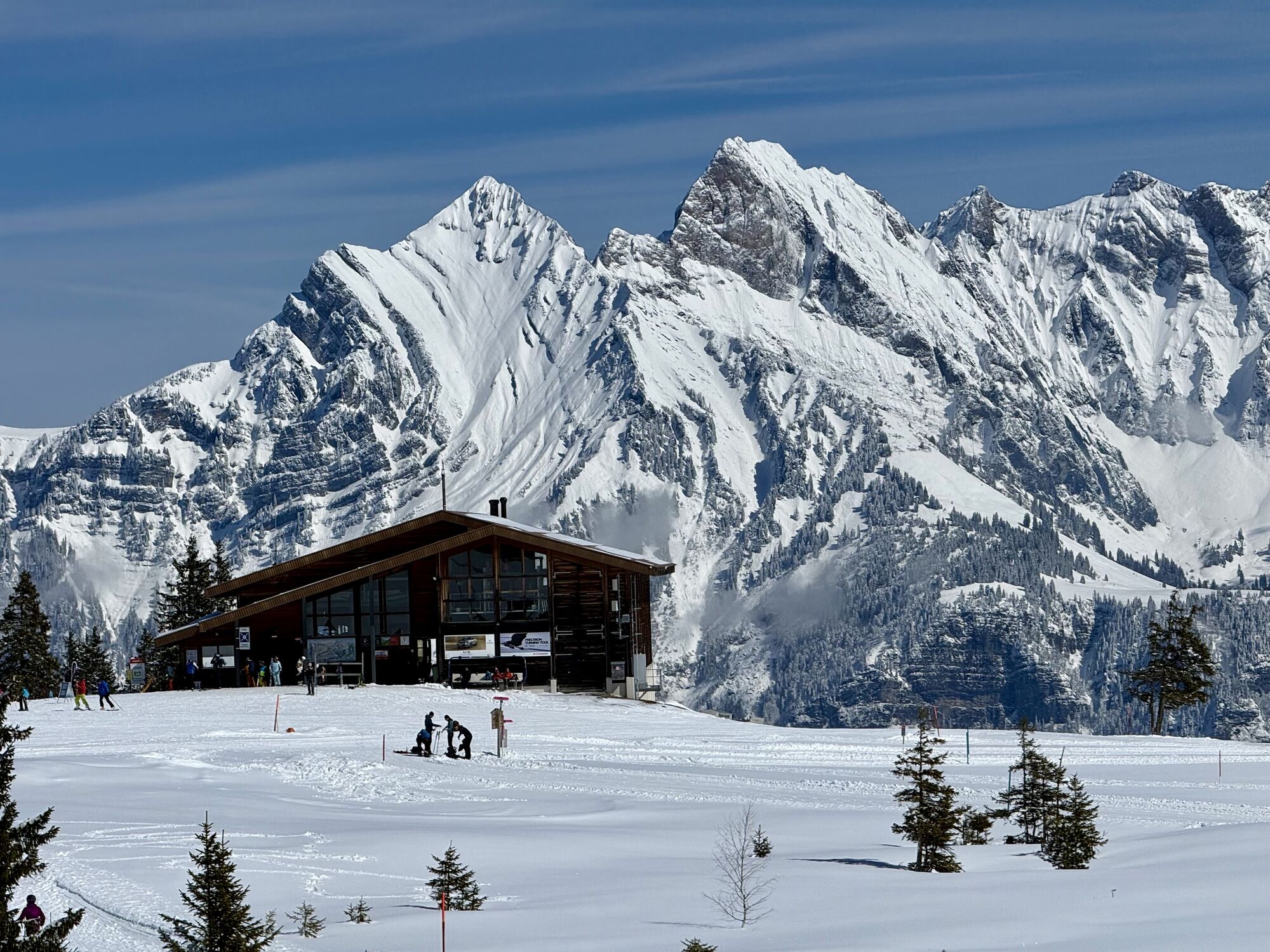





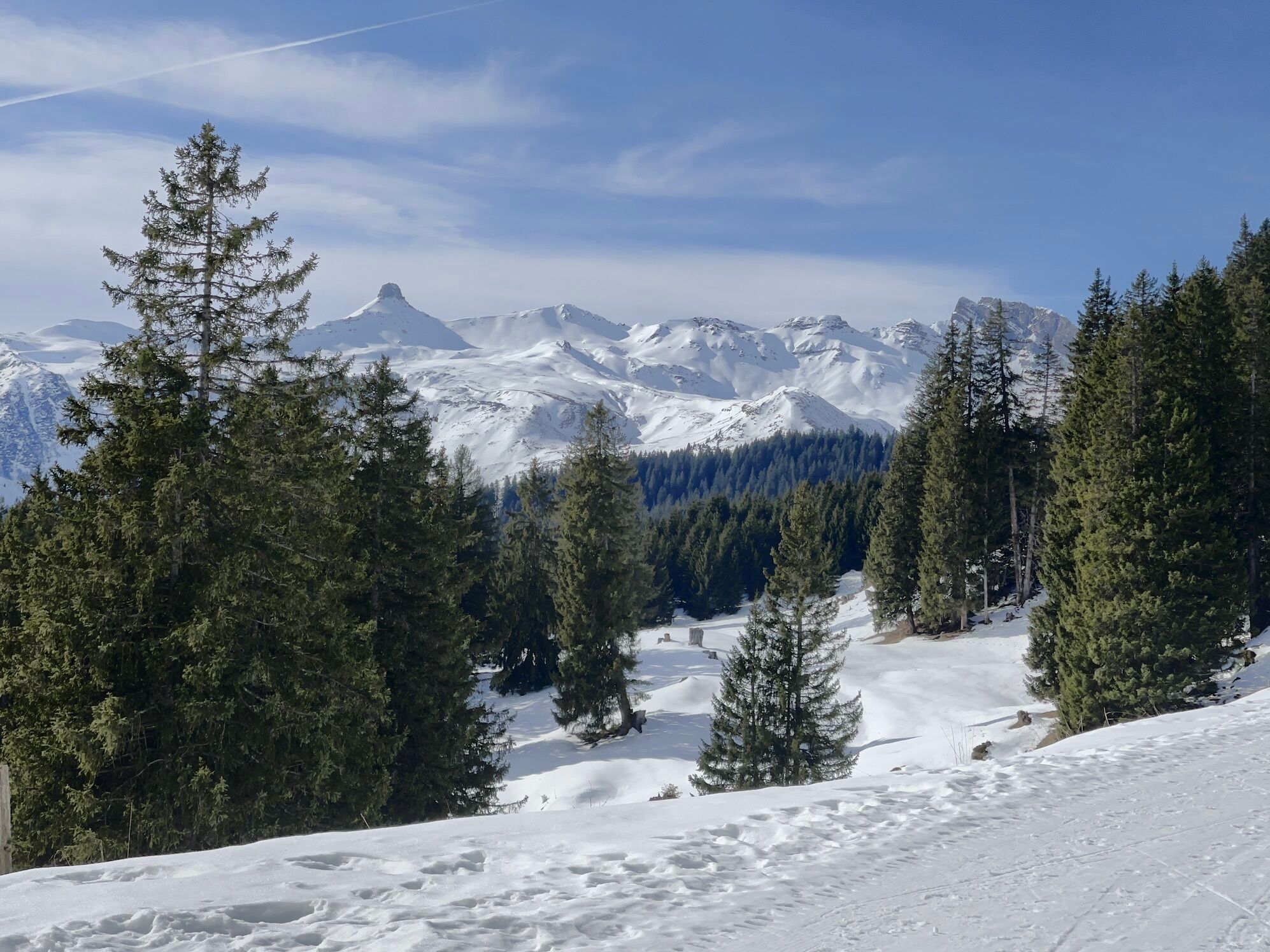
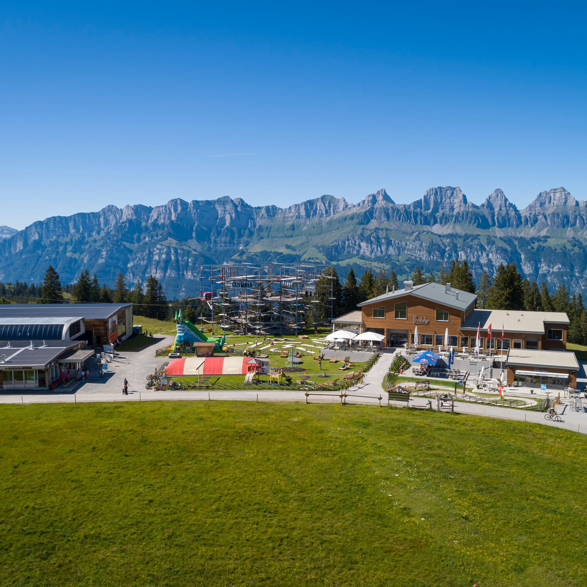
The starting point for this 6.4 km long trail is the infopoint of the Flumserberg station at the playground on the Prodalp (1576 m above sea level). The first few hundred meters on the Prodriet plateau...
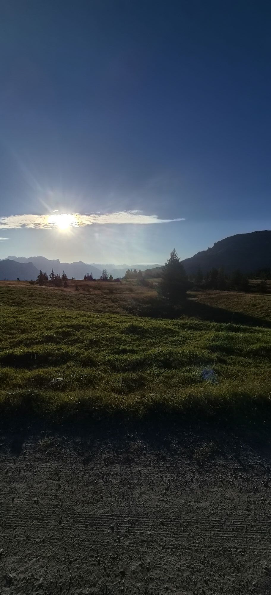
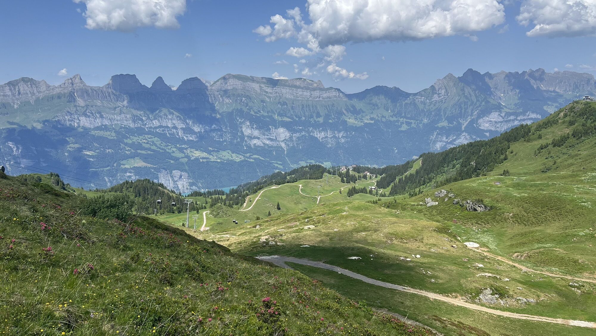
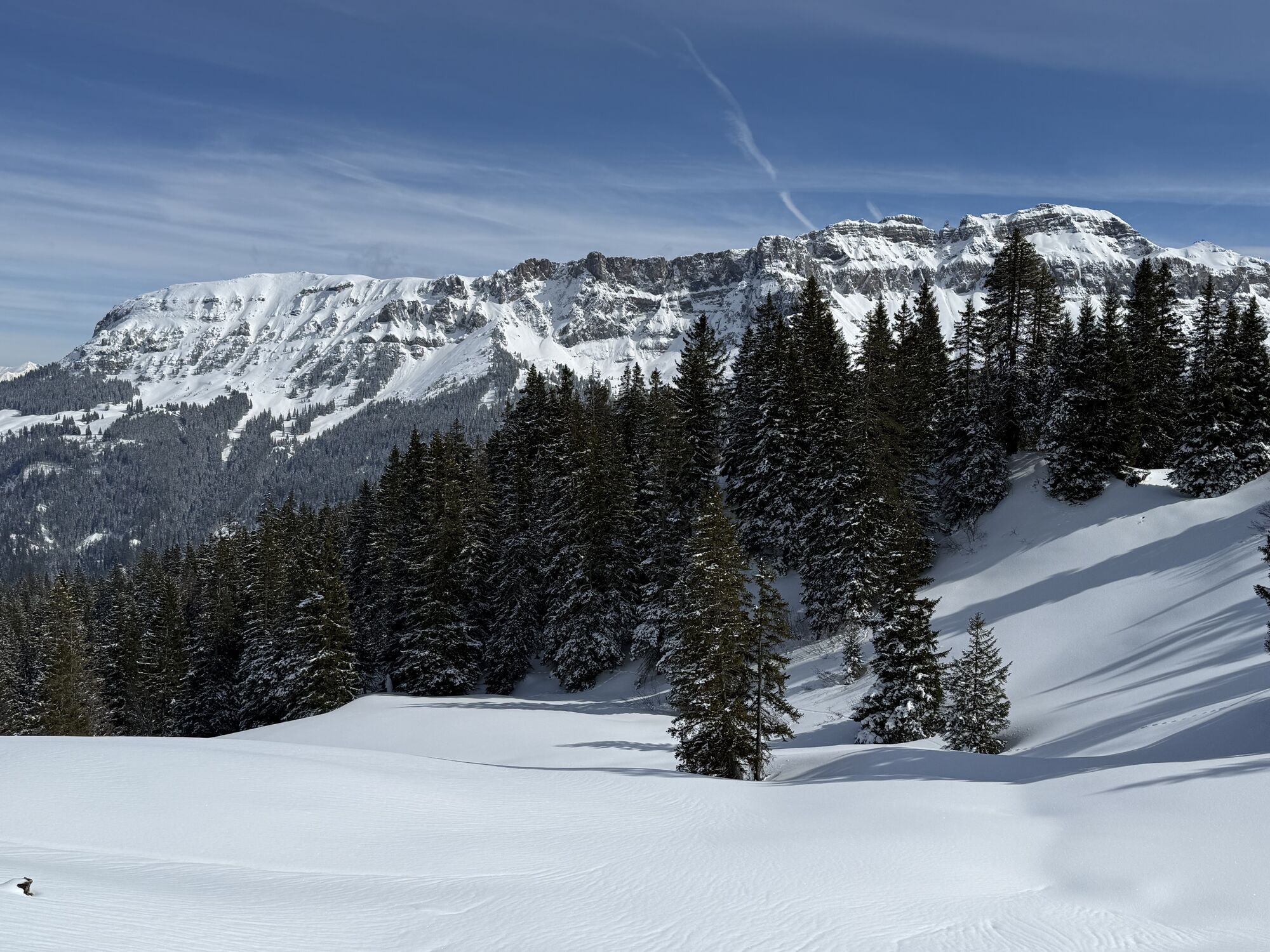
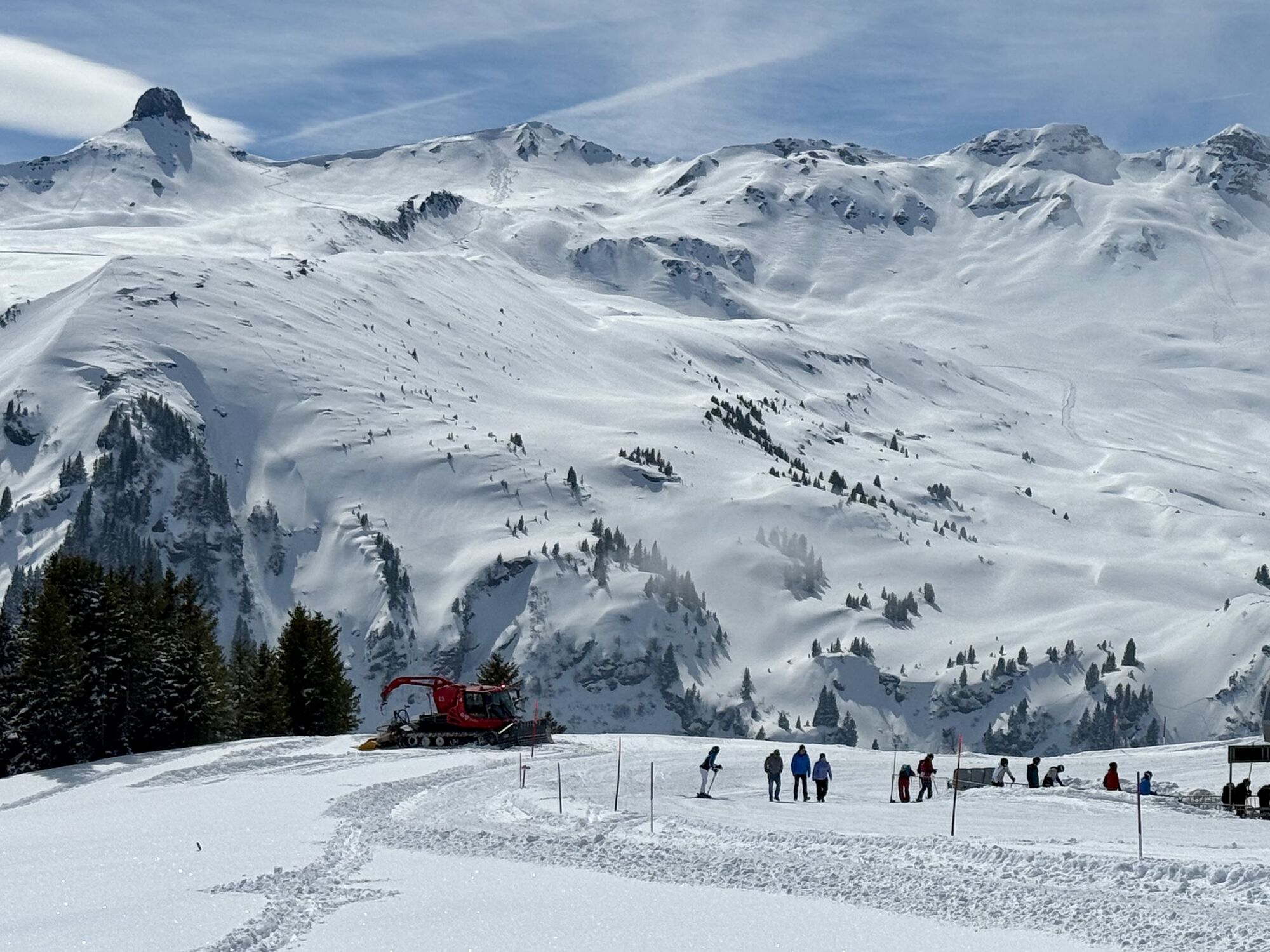
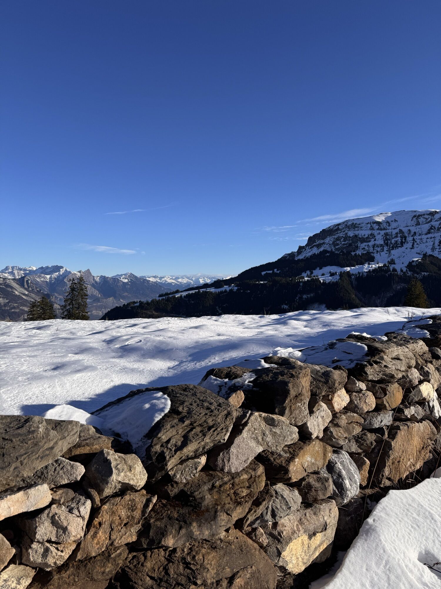
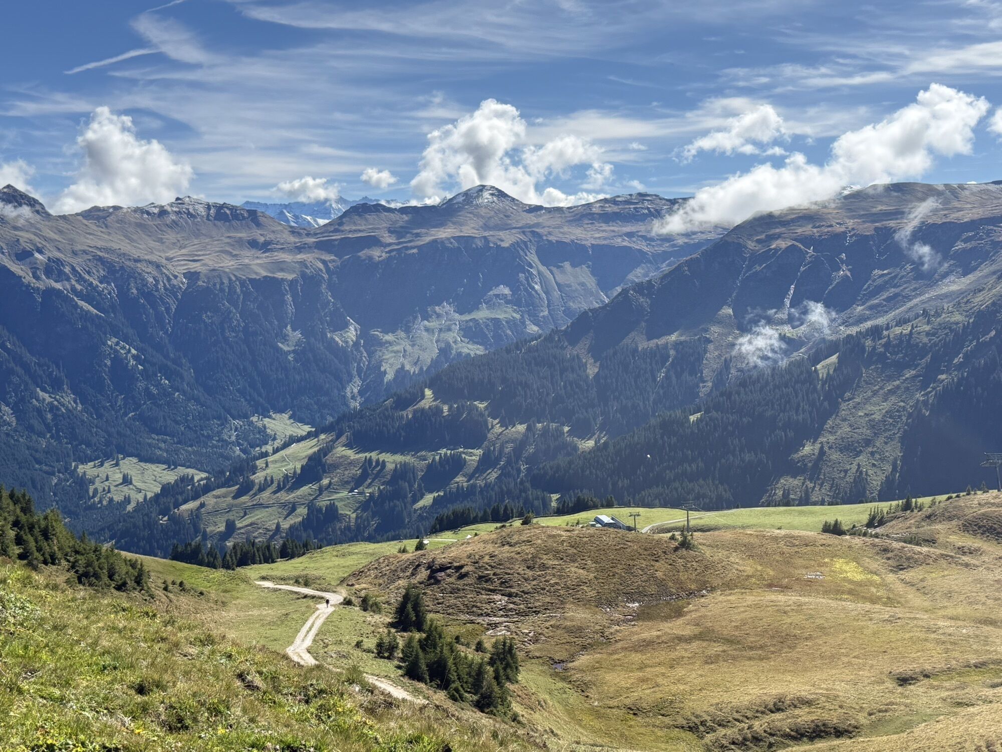
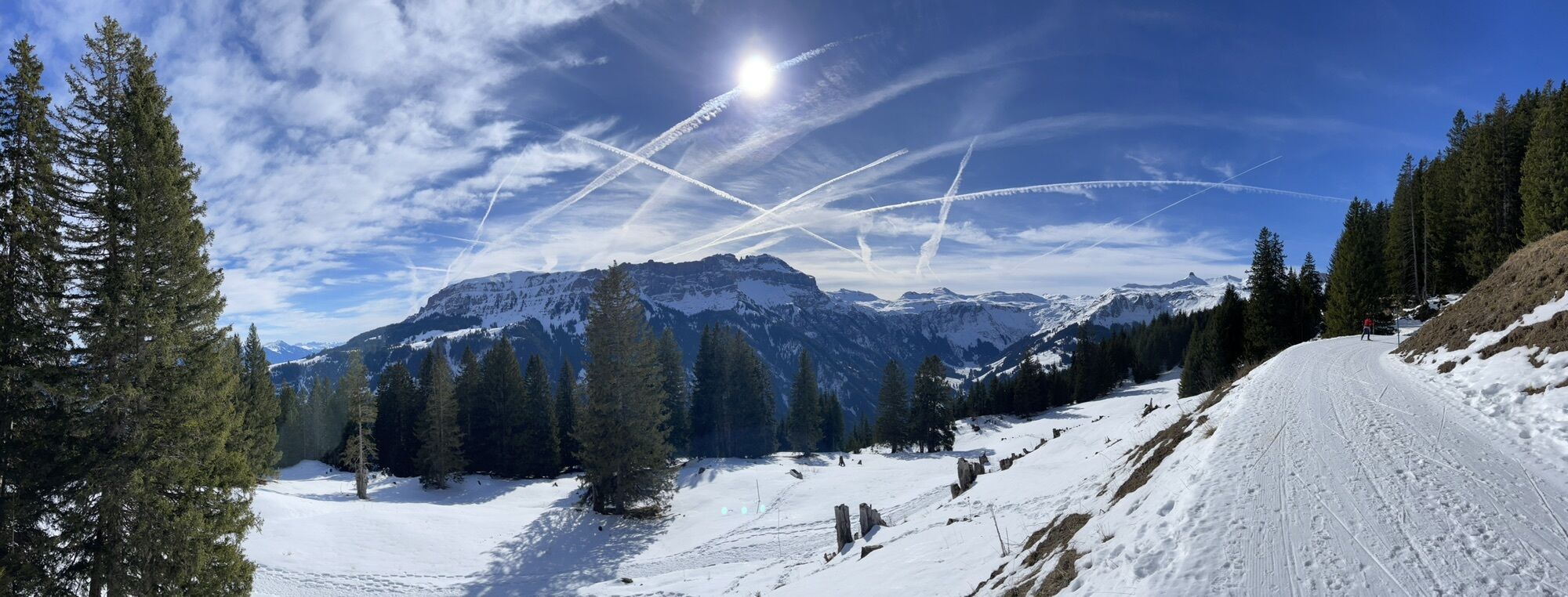
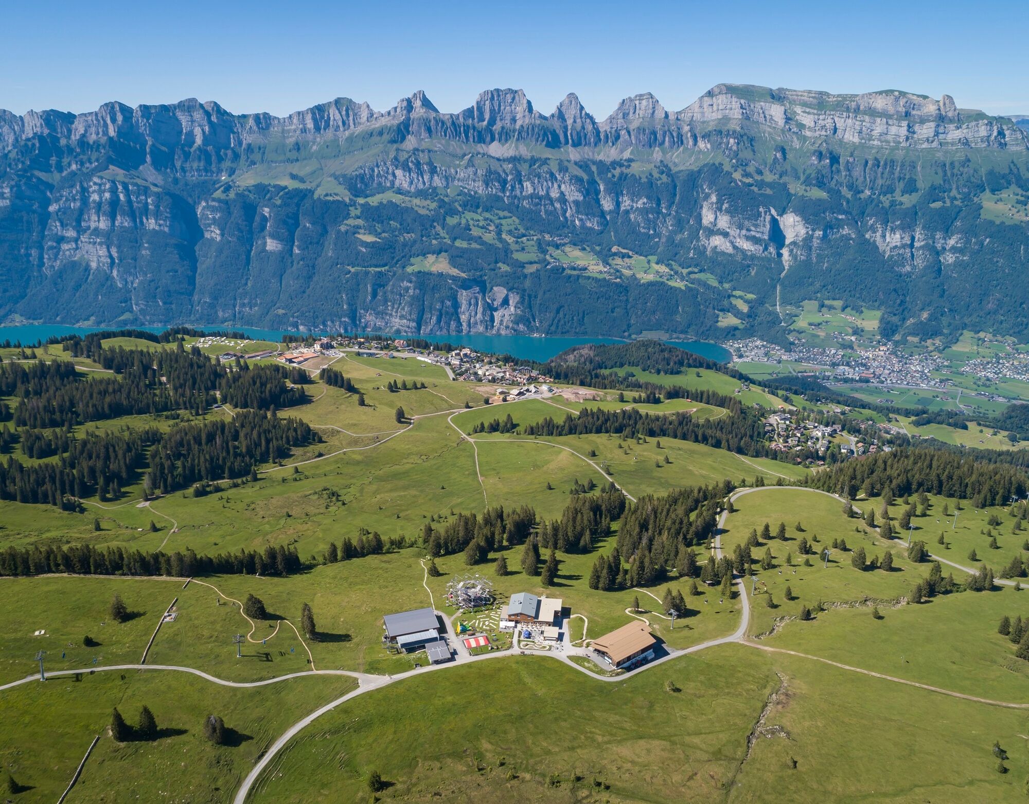
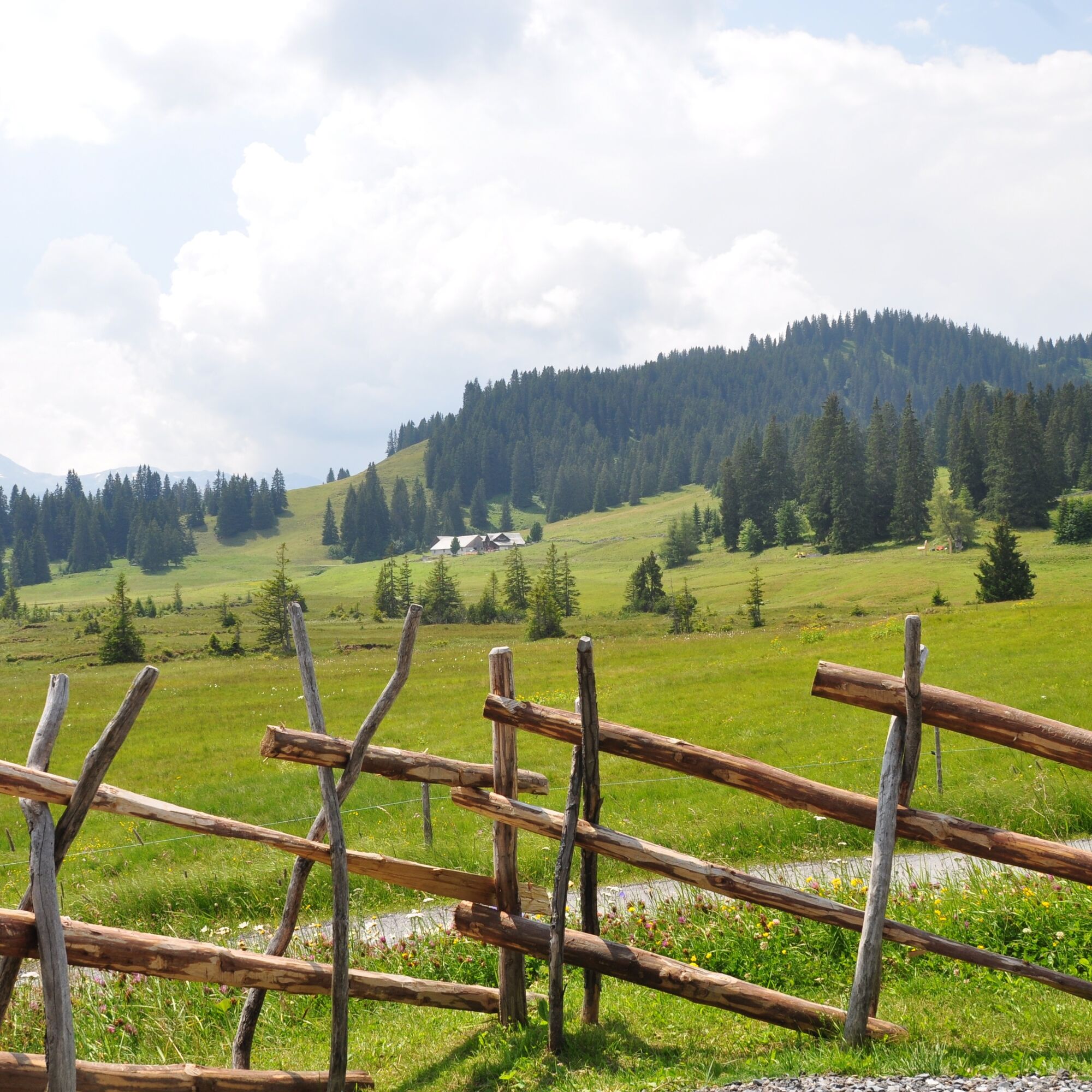
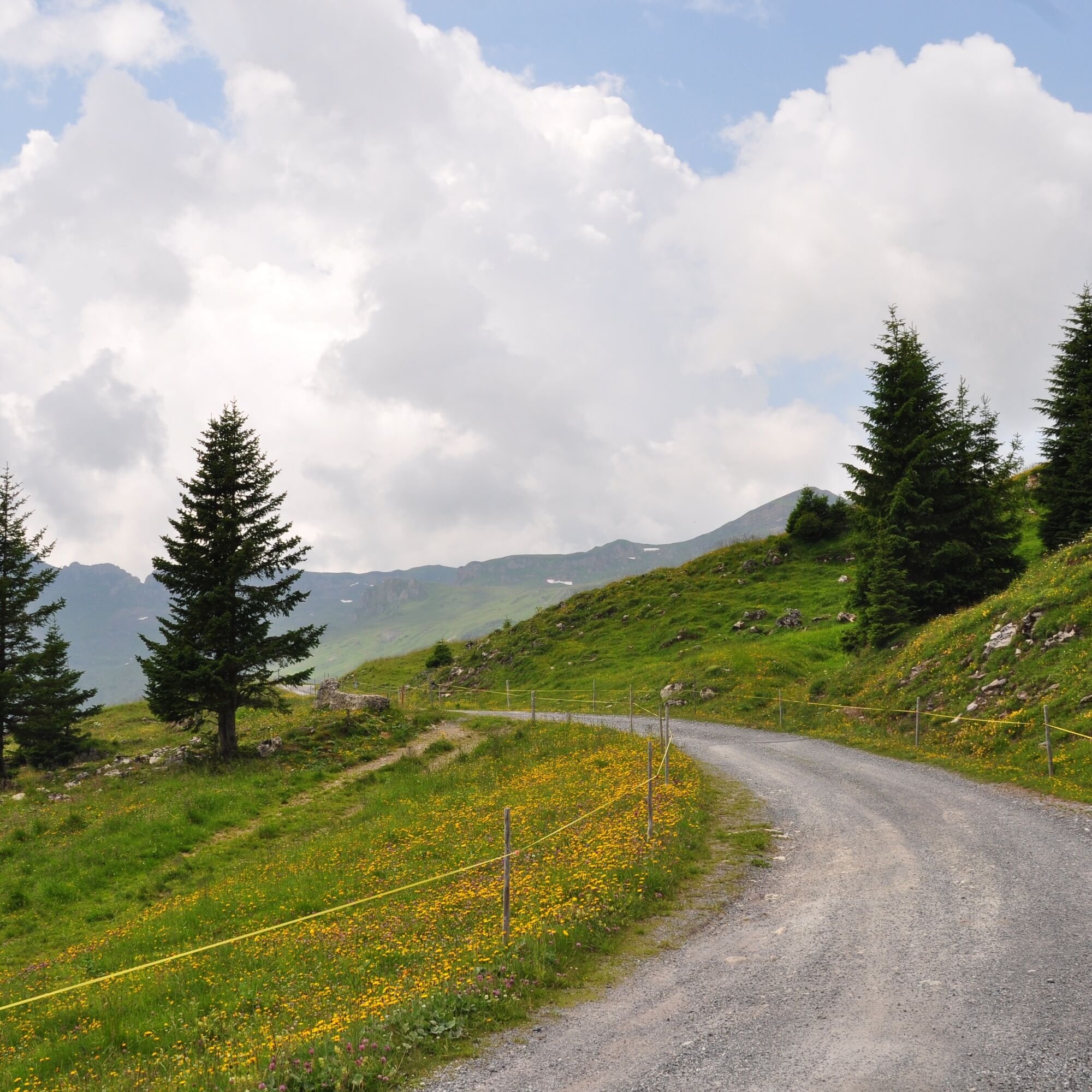
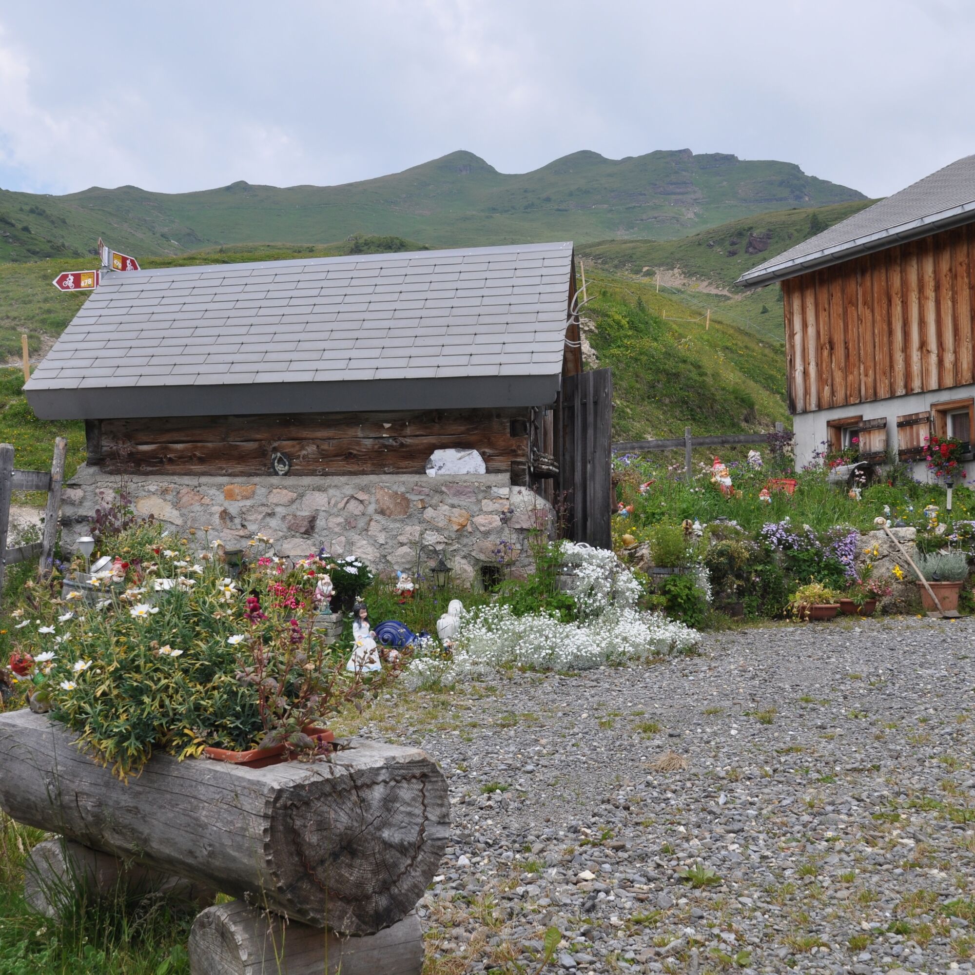
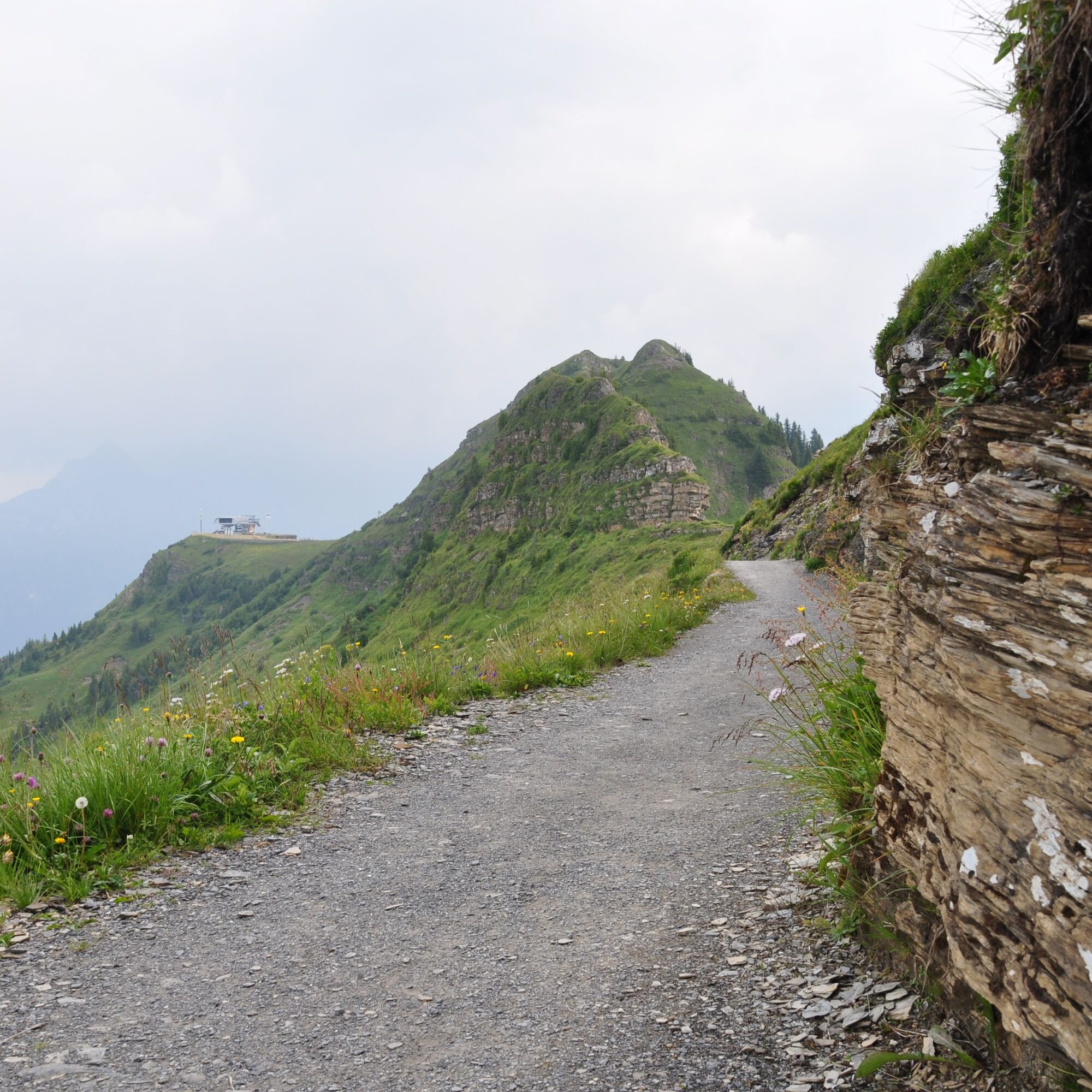
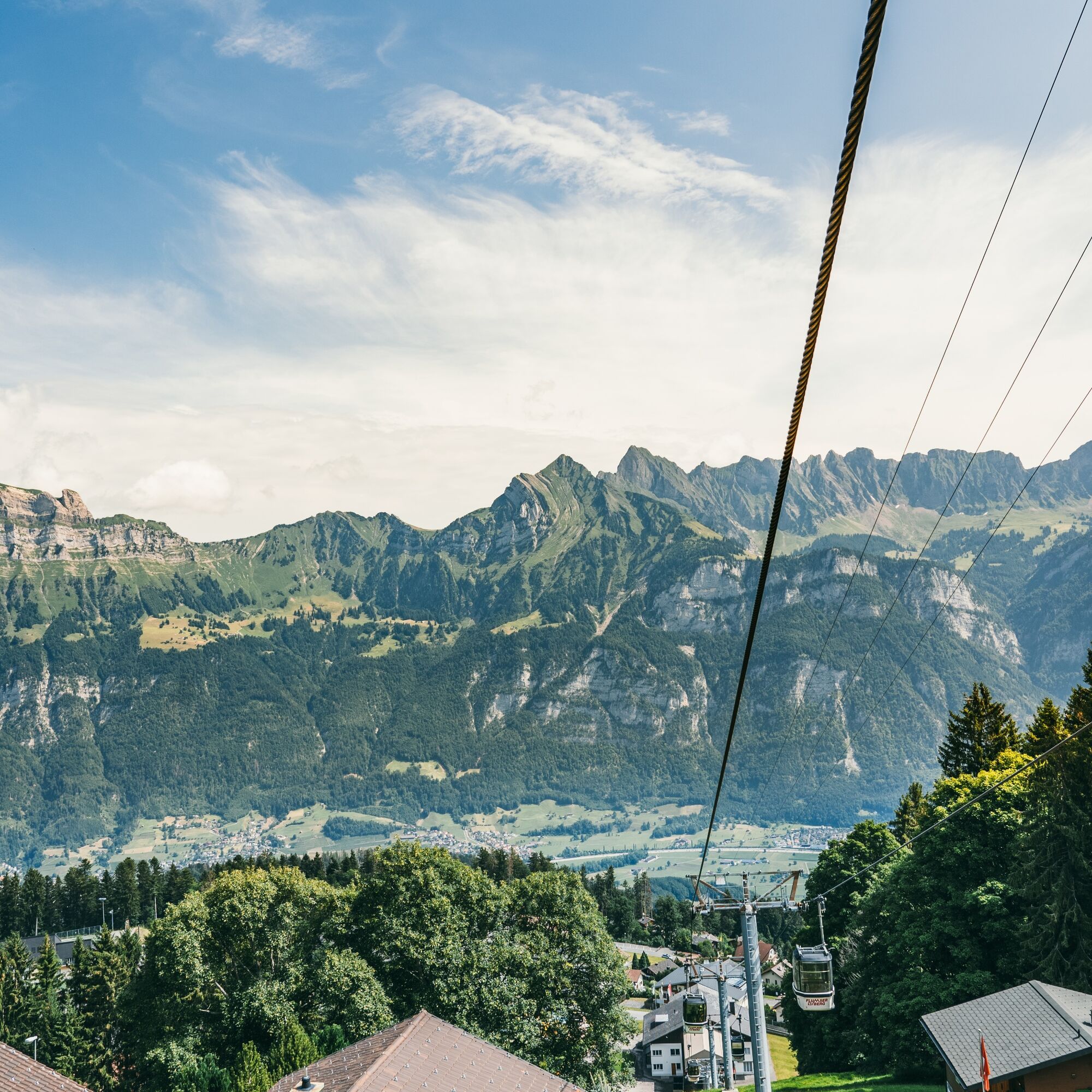
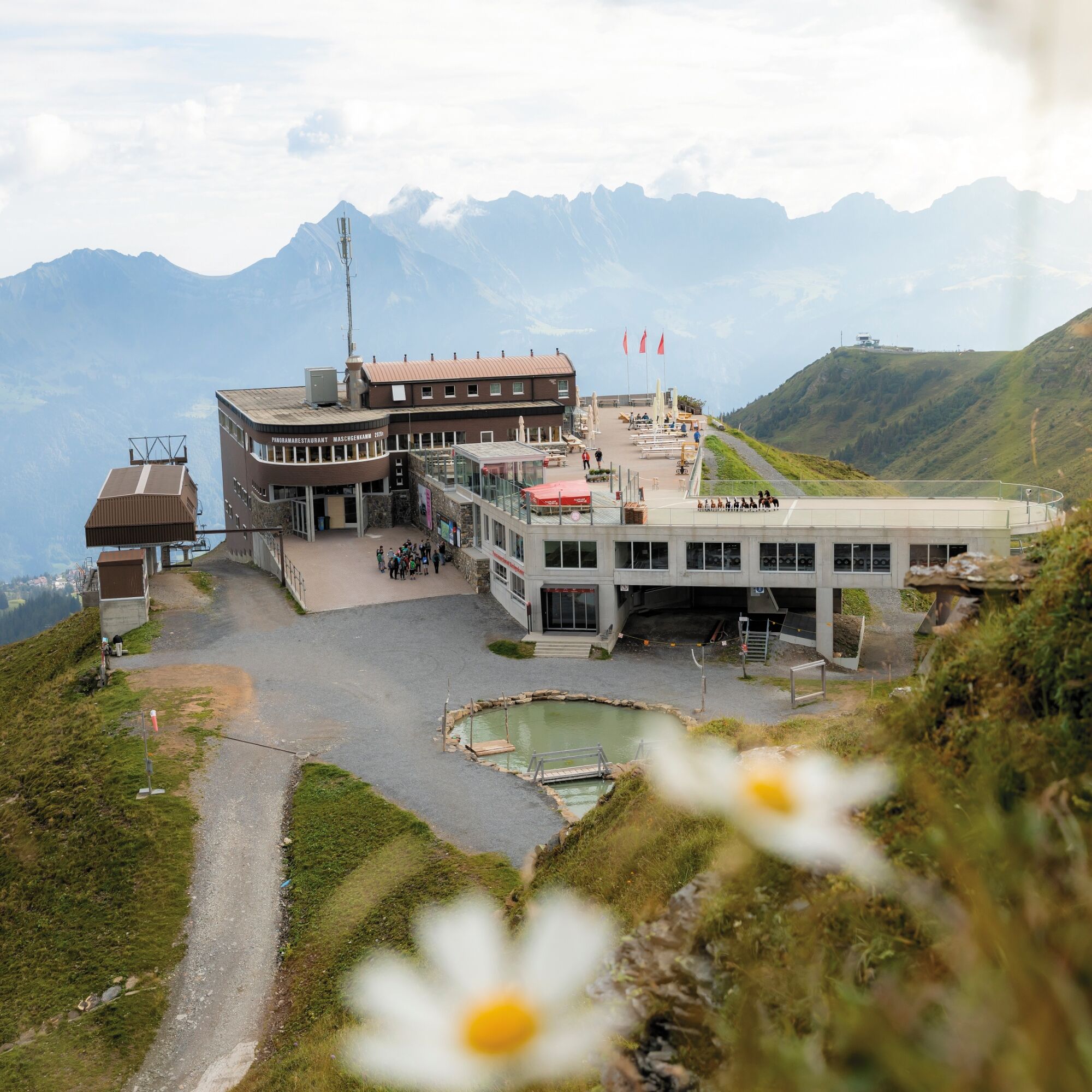
The starting point for this 6.4 km long trail is the infopoint of the Flumserberg station at the playground on the Prodalp (1576 m above sea level). The first few hundred meters on the Prodriet plateau are ideal for warming up, as they have almost no incline. At Prod (1589), the gentle ascent begins over several kilometers up to Alp Panüol (1803). The well-developed Alpine road – which is partly even paved – leads through small forest passages, over cow pastures, and past the Rotenberg barbecue station. Upon arrival at Alp Panüöl, you will be greeted by numerous garden gnomes and other mythical creatures arranged in a beautiful garden. From here on, the warm-up is definitely over, as the trail becomes quite steep at times. On the less well-developed Alpine path, you have to overcome over 100 meters of altitude in a relatively short distance up to Maschgalugge (1953). Once at the top, you have reached the highest point of the Panüöl Trail and are rewarded with a magnificent view of the Churfirsten and the Walensee. On the last section of the trail to the Prodkamm mountain station (1939), you can recover from the exertions of the steep ascent. Here, the trail runs almost straight along a well-developed hiking path past interesting rock formations.


Prodalp - Alp Panüöl - Maschschgelugge - Prodkamm
Good and comfortable jogging equipment.
Take the Flums highway exit and then follow the signs to Flumserberg.
Public parking spaces are available opposite the Poschti-Lädäli.
The parking spaces are chargeable from 7:00 a.m. to 5:00 p.m. From 5:00 p.m. to 2:00 a.m., you can park your car for free.
From 2:00 a.m. to 7:00 a.m., there is a night parking ban. Plenty of night parking spaces are available in the Tannenboden car park or in the Tannenheim.
The night parking lot can be used for a fee, but camping is prohibited.
Heidiland Tourism
Information office Flumserberg
T +41 81 720 18 18
www.heidiland.com
Climb the climbing tower «CLiiMBER» or enjoy a leisurely round of mini golf. All of this on the Prodalp.
Webové kamery z prohlídky

Oblíbené prohlídky v okolí
-
4.8
Walensee Riviera Weesen - Quinten
středníTuristika 10.2 km -
4.7
Riviera Lake Walen Walenstadt-Quinten
středníTuristika 10.4 km -
4.6
Weesen - Quinten - Walenstadt
heavyTuristika 20.6 km -
4.6
Alvier
středníTuristika 3.33 km -
4.7
5-Seen Wanderung am Pizol
světloTuristika 10.1 km -
4.9
Alpine and Cultural Trail Schrina
středníTematická stezka 11.5 km -
4.9
Fronalpstock GL
středníTuristika 7.84 km -
4.6
4-Summit-Route Flumserberg
středníTuristika 8.65 km -
4.9
Quarten - Murgseehütte - Berggasthaus Murgsee - Glarus Nord
středníTuristika 14.7 km -
4.8
Arvenbüel - Egg - Alp Looch - Leistchamm
středníTuristika 11.4 km
Pěší turistika a stopování


Nenechte si ujít nabídky a inspiraci pro vaši příští dovolenou
Vaše e-mailová adresa byl přidán do poštovního seznamu.


