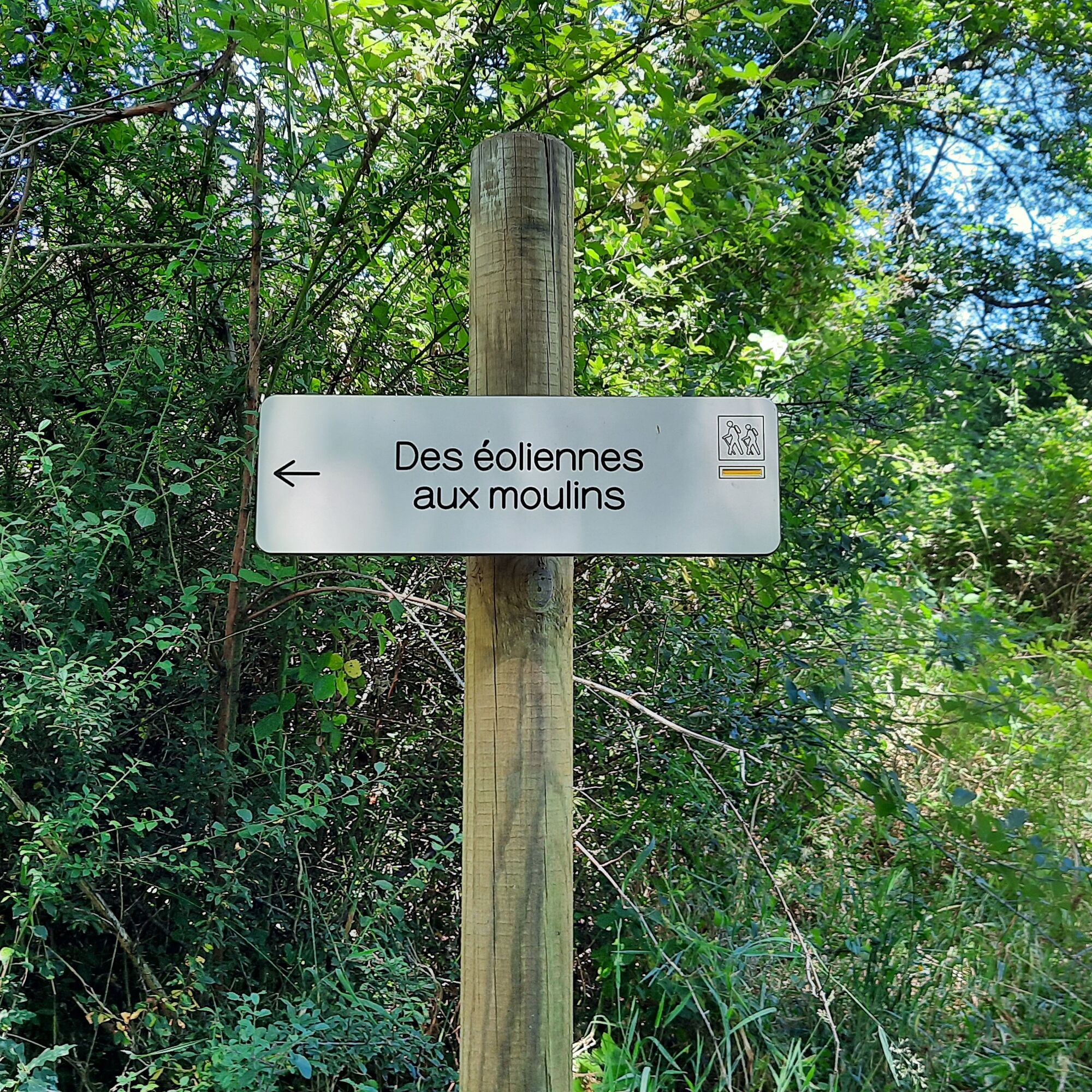
Des Éoliennes aux Moulins
světlo
Pořiďte si tuto prohlídku do mobilního telefonu
Des Éoliennes aux Moulins
světlo
Turistika
5.50
km
Naskenujte QR kód a spusťte navigaci v aplikaci bergfex.

Pěší turistika a stopování


Des Éoliennes aux Moulins
světlo
Vzdálenost
5.50
km
Doba trvání
01:45
h
Ascent
187
hm
Hladina moře
250 -
449
m
Stažení skladby
Des Éoliennes aux Moulins
světlo
Turistika
5.50
km
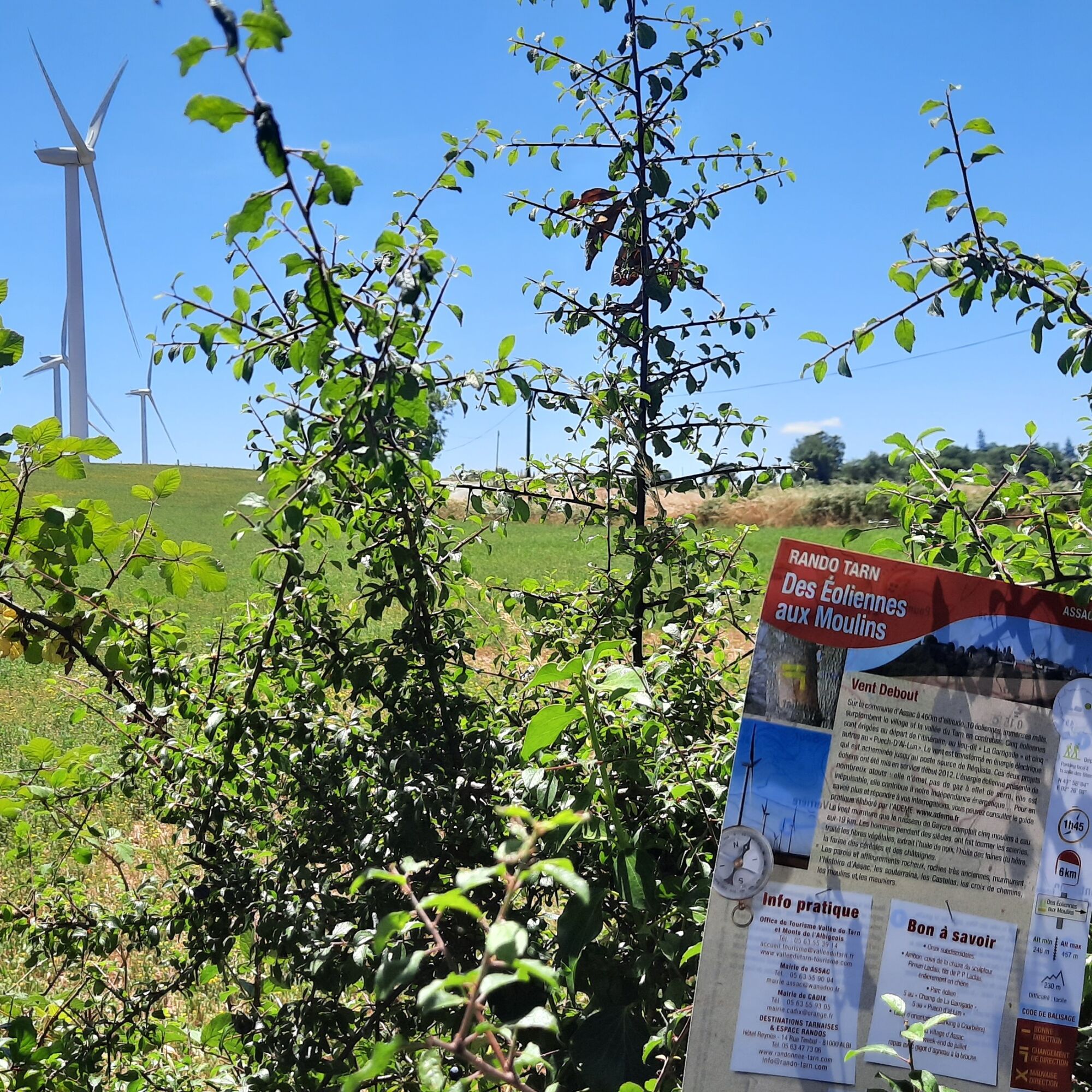
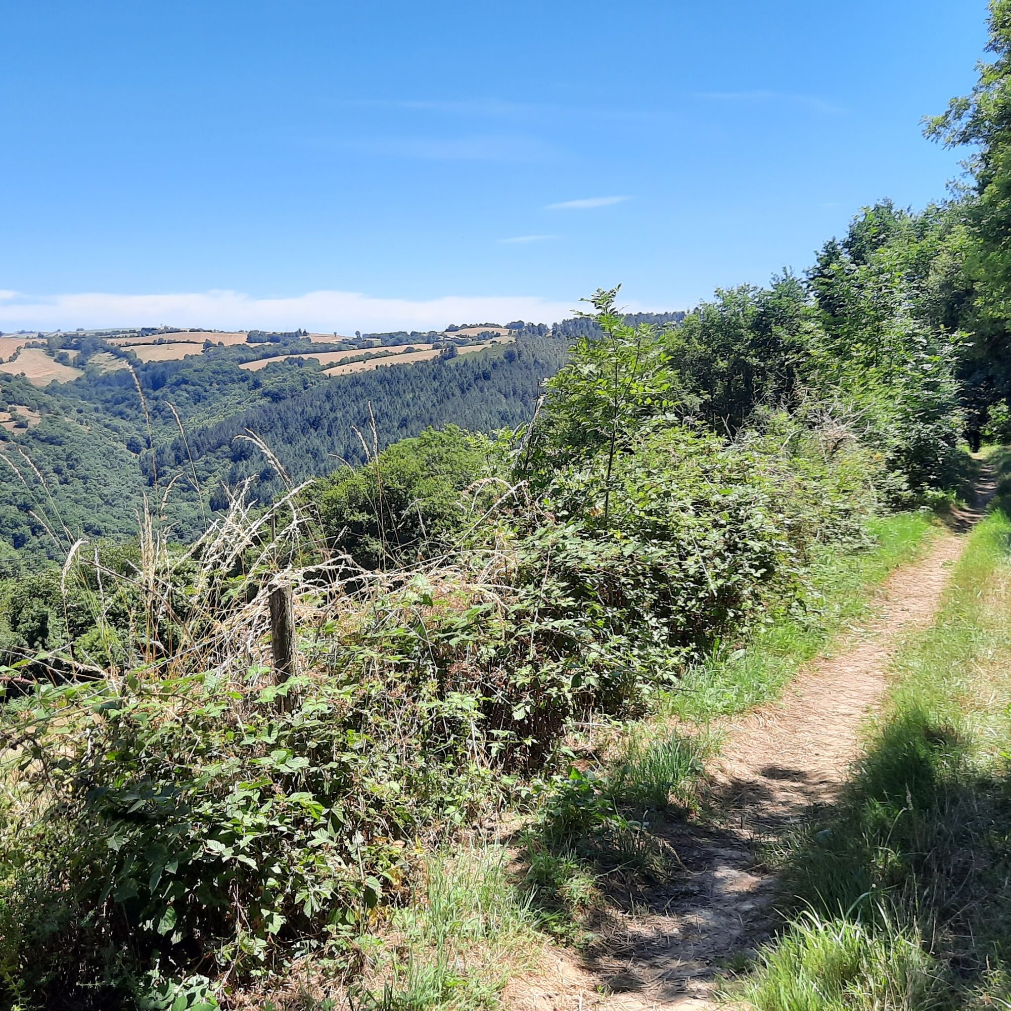
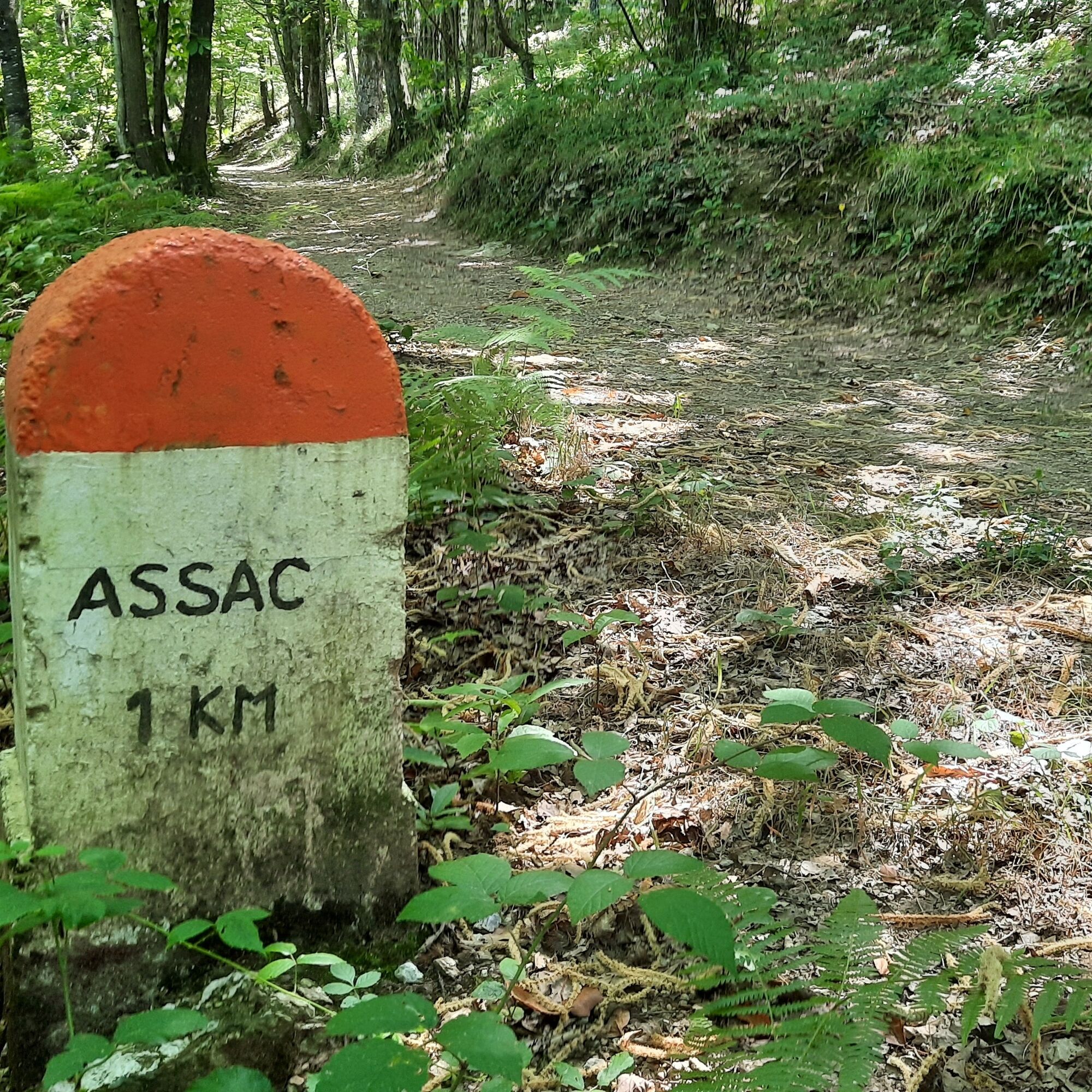
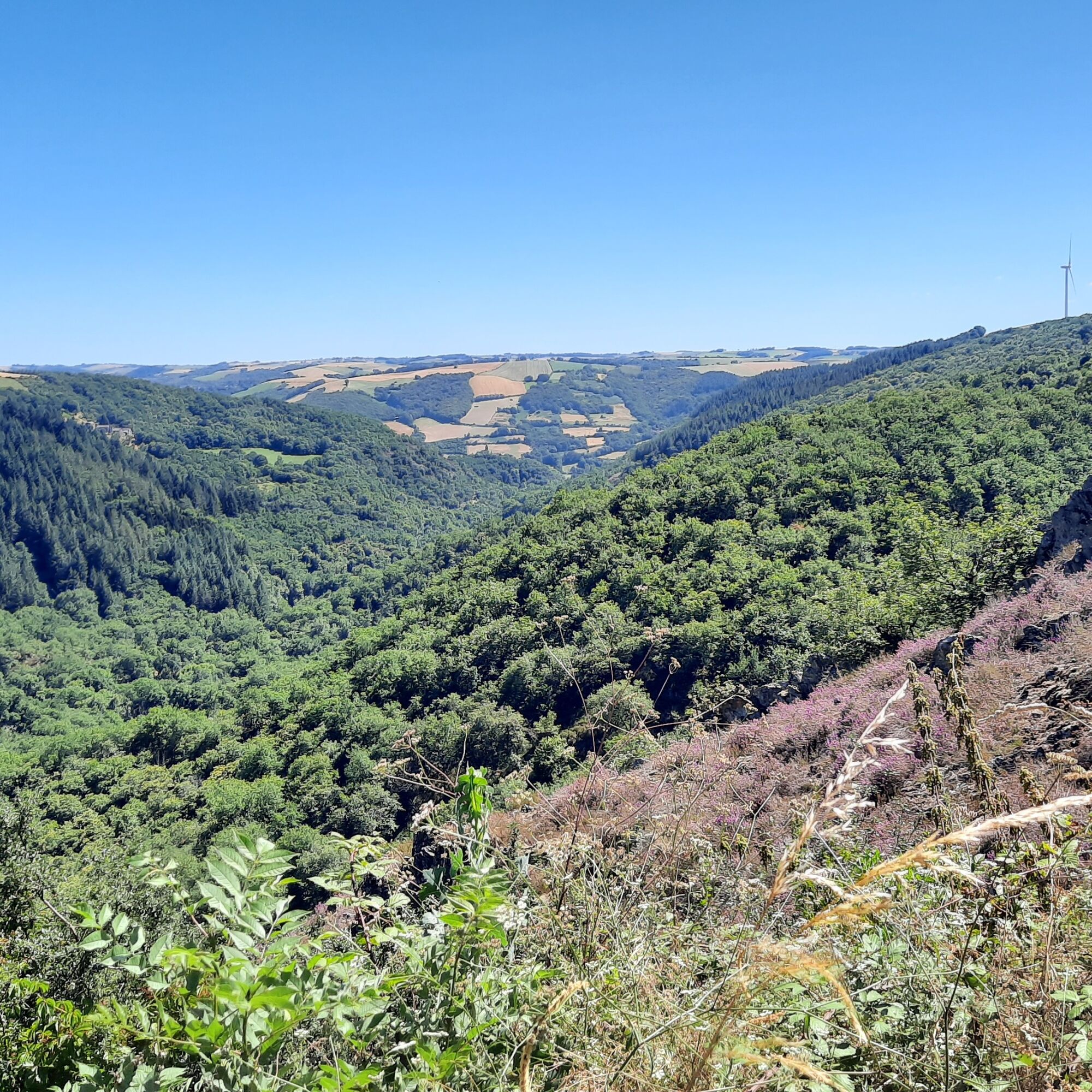
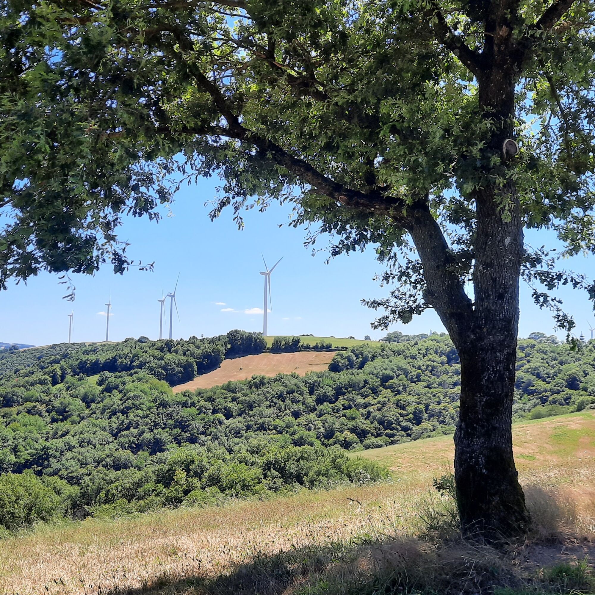
In the village of Assac, at an altitude of 460m, 10 huge wind turbines
tower over the village and the Tarn valley below. Five wind turbines
are erected at the start of the route, at a place called "La Garrigade",...
Popis
In the village of Assac, at an altitude of 460m, 10 huge wind turbines
tower over the village and the Tarn valley below. Five wind turbines
are erected at the start of the route, at a place called "La Garrigade", and another five
at "Puech-D'Al-Lun".
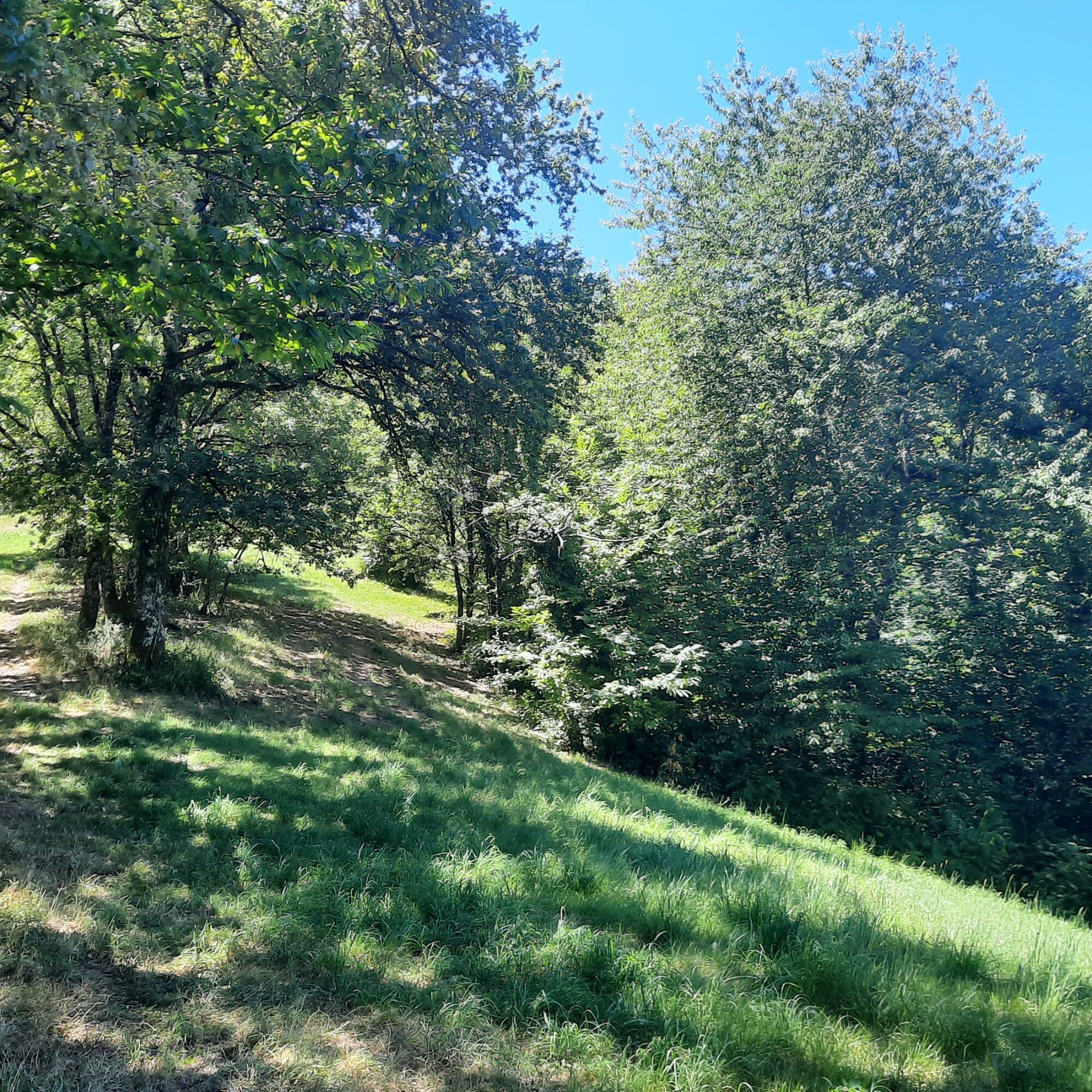
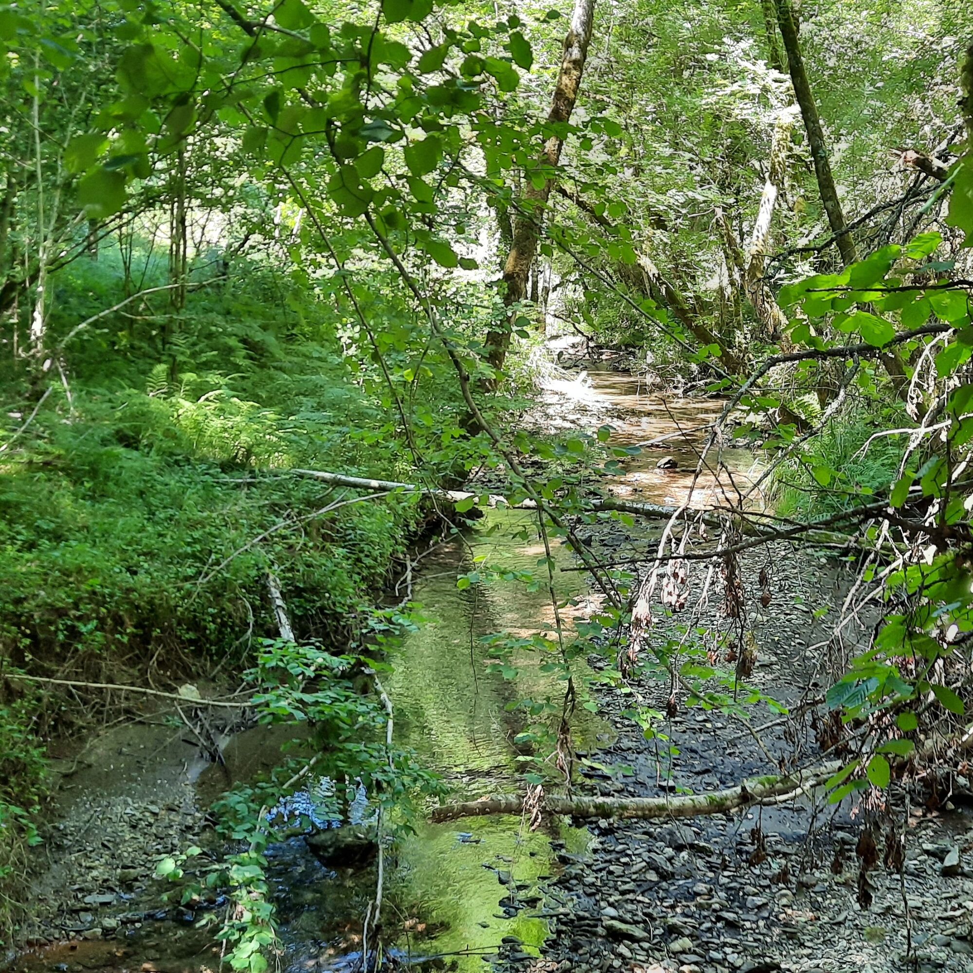
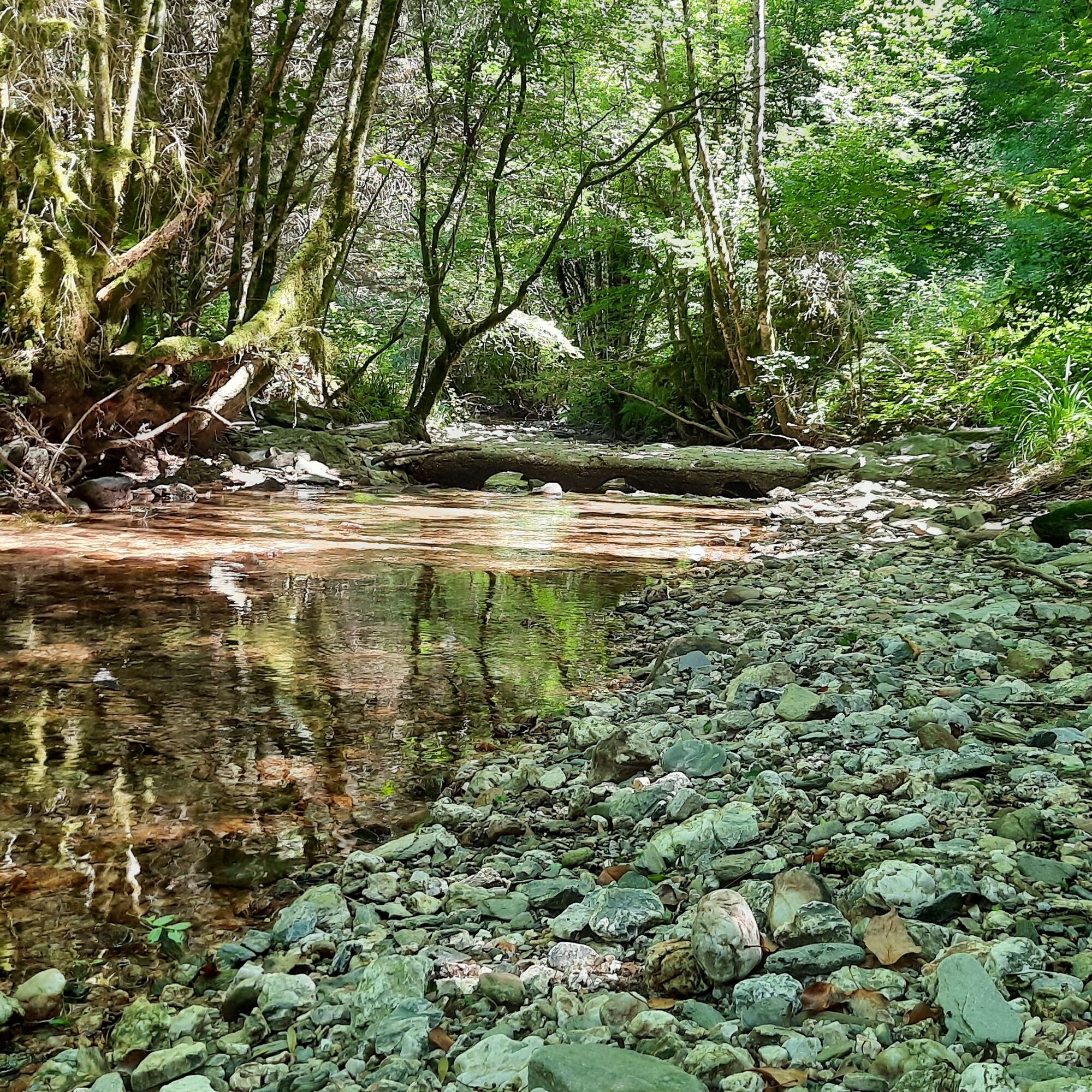
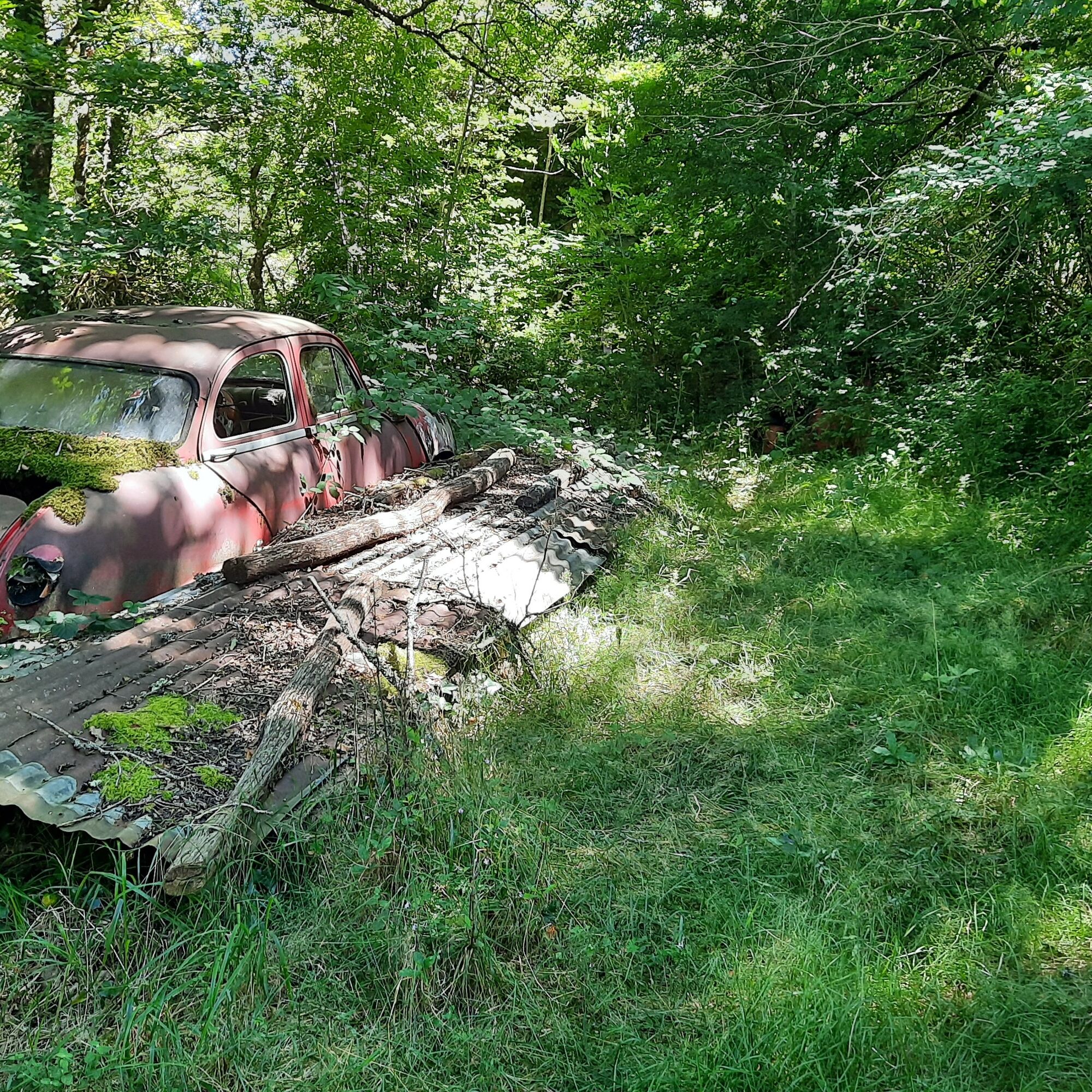
The wind whispers that the Gaycre stream was home to twelve watermills
over 19 km. For centuries, men have been turning sawmills,
processing plant fibers, extracting oil from walnuts and beech, and
flouring cereals and chestnuts.
The rock faces and outcrops, very ancient rocks, whisper
the history of Assac, the underground passages, the Castelas, the crossroads,
the mills and millers.
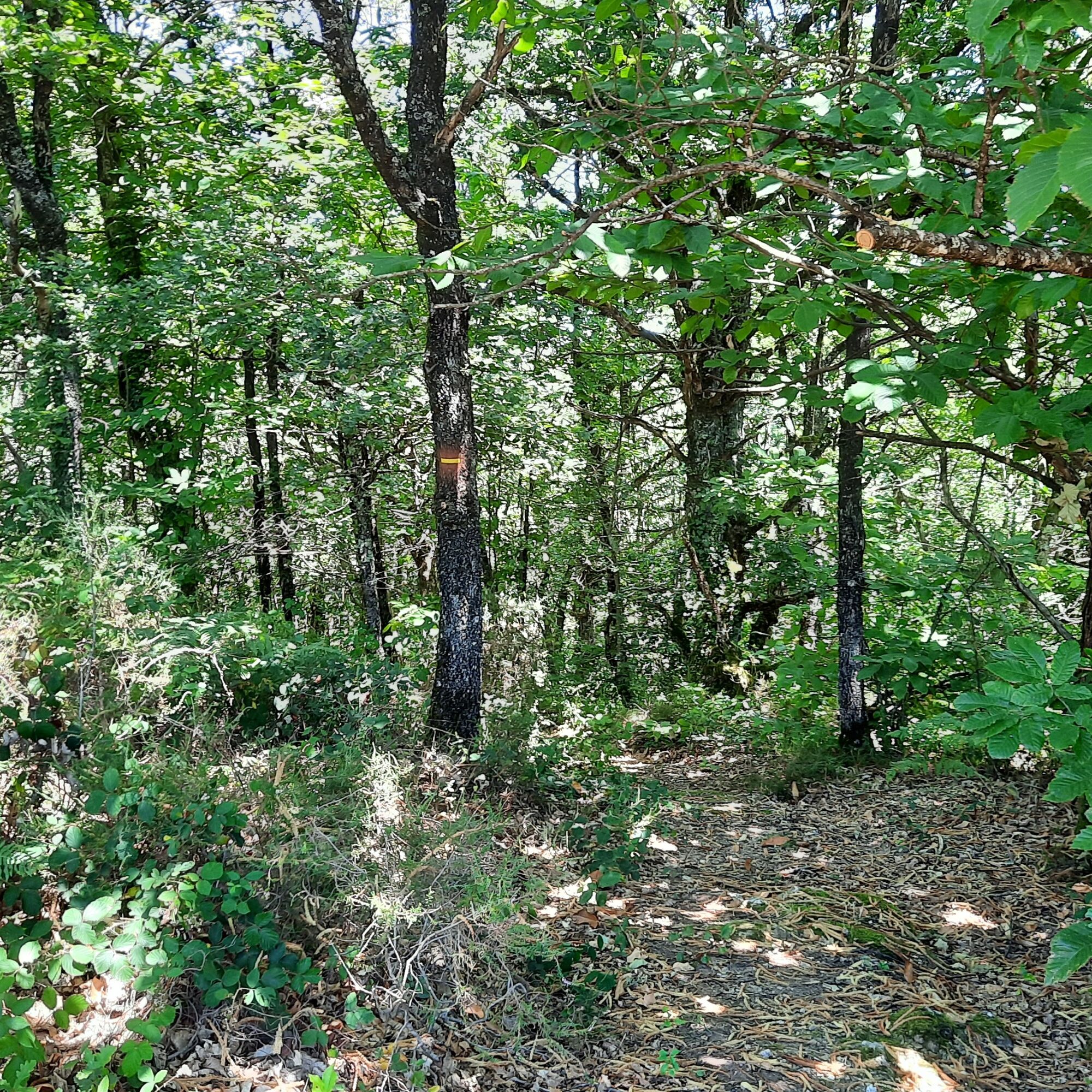
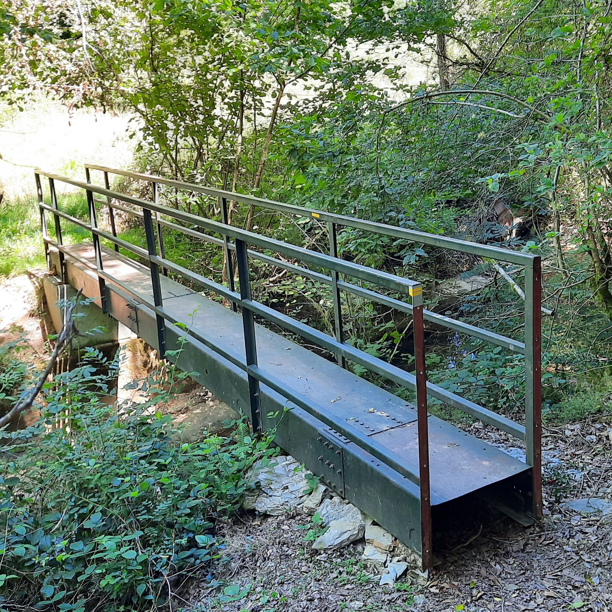
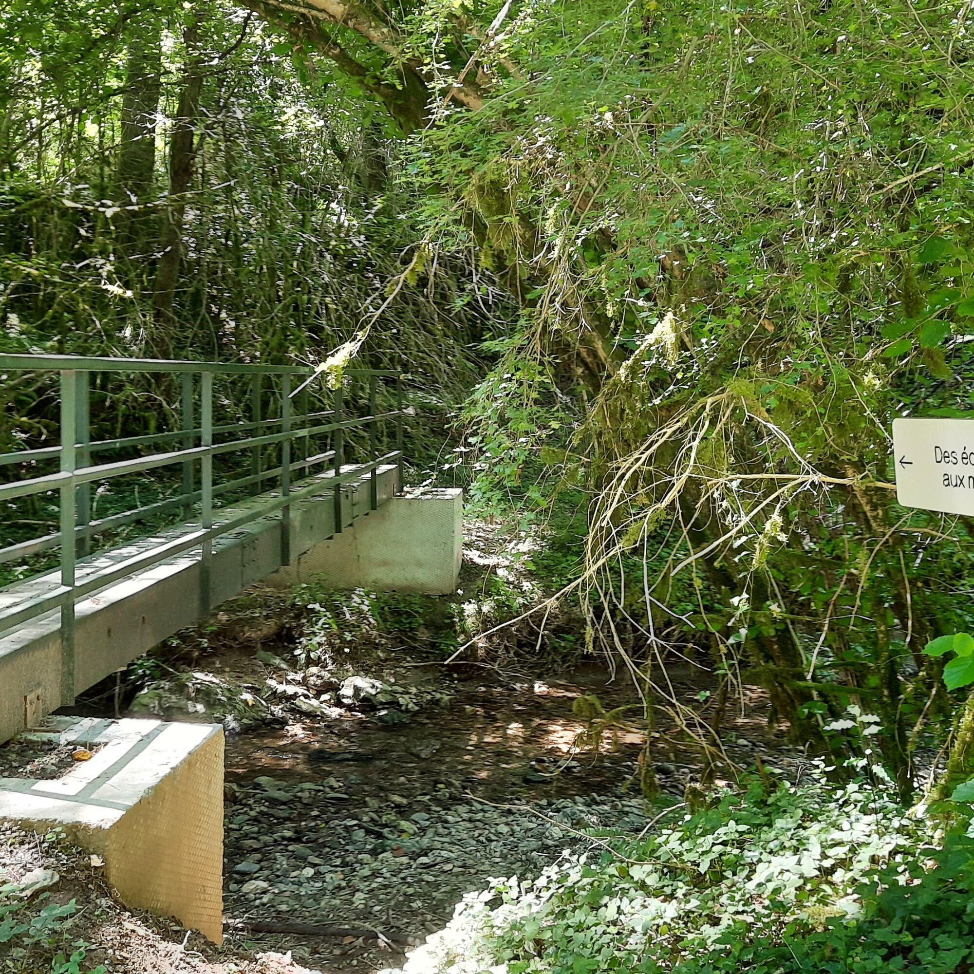
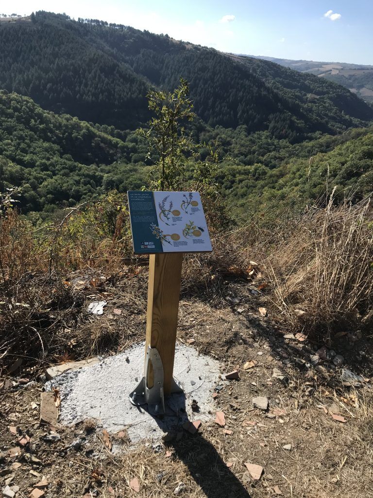
Six educational panels line the trail: the first, at the exit of the village, presents the wind turbines. The second presents the trees of the Gaycre valley, positioned just after the first footbridge. The third features mills, explaining their economic role and how they operate. It is positioned at the ruin of the low mill. The fourth is about invertebrates, the small creatures of our waterways, and is located just before the second footbridge. Just after this footbridge, the 5th panel evokes the hidden fauna of the Gaycre valley. Then, as you go up the path towards Assac, you'll find the 6th panel on the dry heath.
This project was made possible thanks to the participation of several partners: the SIAVT, the Tarn department and the CGNEE company.
tower over the village and the Tarn valley below. Five wind turbines
are erected at the start of the route, at a place called "La Garrigade", and another five
at "Puech-D'Al-Lun".
The wind whispers that the Gaycre stream was home to twelve watermills
over 19 km. For centuries, men have been turning sawmills,
processing plant fibers, extracting oil from walnuts and beech, and
flouring cereals and chestnuts.
The rock faces and outcrops, very ancient rocks, whisper
the history of Assac, the underground passages, the Castelas, the crossroads,
the mills and millers.
Six educational panels line the trail: the first, at the exit of the village, presents the wind turbines. The second presents the trees of the Gaycre valley, positioned just after the first footbridge. The third features mills, explaining their economic role and how they operate. It is positioned at the ruin of the low mill. The fourth is about invertebrates, the small creatures of our waterways, and is located just before the second footbridge. Just after this footbridge, the 5th panel evokes the hidden fauna of the Gaycre valley. Then, as you go up the path towards Assac, you'll find the 6th panel on the dry heath.
This project was made possible thanks to the participation of several partners: the SIAVT, the Tarn department and the CGNEE company.
Trasa


Vybavení
Clothing adapted to the season and conditions (cold, hot, wet...)
Hiking shoes suited to the terrain (even for children!)
Hiking poles (useful for stability and to relieve joint strain)
Cell phone and spare battery
Bezpečnostní pokyny
Before setting off :
Find out about general and local weather conditions, making sure there's no precipitation. Find out about the approach to the route, its height, how long it will take, and any possible escapes (IGN map, GPS, topo-guide, etc.). Evaluate possible risks by asking mountain professionals, refuges and gîtes. Inform someone close to you of your objective, and contact them again in the event of any changes: departure and return times, number of participants with telephone numbers for each, vehicle(s), parking, etc. Avoid setting off alone, and use equipment that is suitable for the activity, adjusted and in good condition: headlamp, complete first-aid kit, survival blanket, etc.In the event of a problem, call 112 (European emergency number).
Informace o příjezdu
Parkování
Parking in front of the village hall
Další informace a tipy
Další informace
APIDAE Tourisme data updated on 17/02/2023 by "Office de tourisme Vallée du Tarn & Monts de l'Albigeois".
An error on this page? Write to the owner, quoting the following references:
Name of data sheet: Des Éoliennes aux Moulins | Identifier of data sheet: 5544134 | URL (link) of this page Outdooractive.
An error on this page? Write to the owner, quoting the following references:
Name of data sheet: Des Éoliennes aux Moulins | Identifier of data sheet: 5544134 | URL (link) of this page Outdooractive.
Zatím žádné recenze
Oblíbené prohlídky v okolí
-
Corniches du Tarn
středníTuristika 9.13 km -
Path of the Springs
světloTuristika 6.93 km -
Le Sentier de Calle
světloTuristika 7.19 km -
Camin de Comba Granda
středníTuristika 11.2 km -
Sentier de Yole à Yot
středníTuristika 11.6 km -
Sentier des Rives
středníTuristika 9.84 km -
La boucle d'Alban
světloTuristika 6.09 km -
Sentier de Massalgues
středníTuristika 10.8 km -
Sentier Pédestre l'Andouquette
heavyTuristika 7.81 km -
Sentier des Cabannes
světloTuristika 8.49 km
Pěší turistika a stopování

Více než 550.000 návrhů výletů, podrobné mapy a intuitivní plánovač tras dělají z aplikace nezbytnou výbavu pro všechny milovníky přírody.

Nenechte si ujít nabídky a inspiraci pro vaši příští dovolenou
Přihlaste se k odběru newsletteru
Chyba
Došlo k chybě. Zkuste to prosím znovu.
Děkujeme za vaši registraci
Vaše e-mailová adresa byl přidán do poštovního seznamu.
Zájezdy po celé Evropě
Rakousko
Švýcarsko
Německo
Itálie
Slovenia
Francie
Nizozemsko
Belgie
Polsko
Lichtenštejnsko
Česko
Slovensko
Španělsko
Chorvatsko
Bosna a Hercegovina
Lucembursko
Andorra
Portugal
Iceland
United Kingdom
Ireland
Greece
Albania
North Macedonia
Malta
Norway
Montenegro
Moldova
Kosovo
Hungary
San Marino
Romania
Estonia
Latvia
Belarus
Cyprus
Lithuania
Serbia
Bulgaria
Monaco
Denmark
Sweden
Finland