



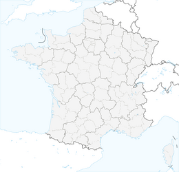


Chemin de Dame Fines
The village was founded in 1246 by Dame Fines Alaman on the site of the Castel de Puech Buégo, which means "hill (puech) of Bégon." Its strategic location, which allowed for the monitoring of passageways,...
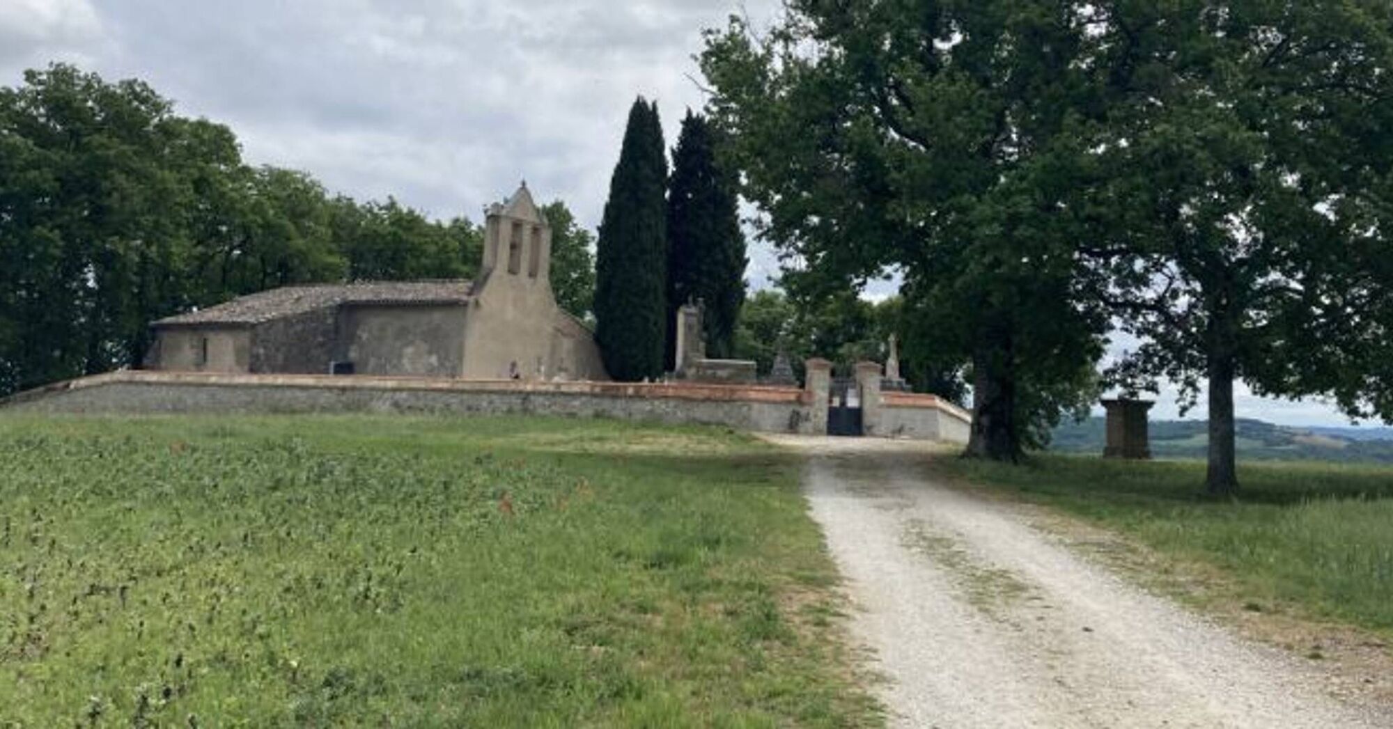
Three points of interest mark the route: the Saint-Martin de Grizac chapel, now desacralized (point 4); the Saint-Sigismond hill, which overlooks Briatexte and the Dadou Valley with a magnificent viewpoint (point 5); and finally, the Saint-Cécile de Mouribal chapel, dating from the 16th century, near the commune of Busque (point 7).

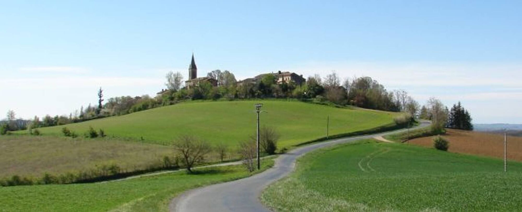
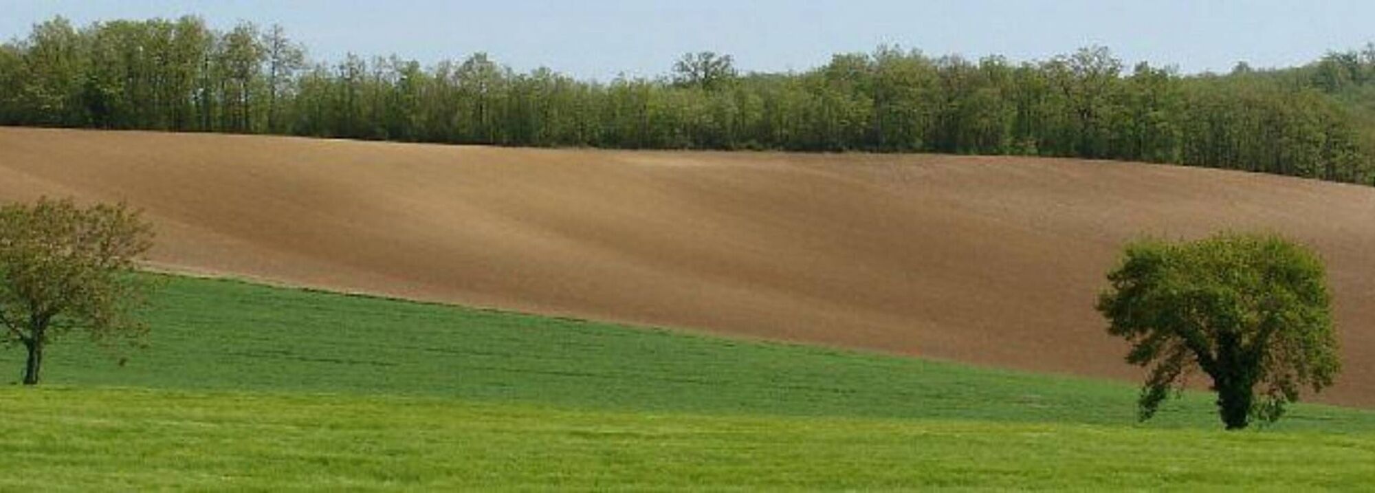

1. At the bottom of the village, descend the stairs. At the end, turn left and then right onto a grassy path. Continue straight down. After the stream, the path turns left. Follow it to reach a lake.
2. Go around the lake. At the second angle of the lake, descend to the right via discreet steps. Cross the stream and then ascend left on the path. Follow it until you exit the woods. Climb up the path directly in front. Ignore the first path on the right and turn onto the second, which leads to the road.
3. Turn right. At the road junction, head right towards Jamblanc. Higher up, the road becomes a path. At the road, go left. Before the road junction, turn right onto the path. This leads to the Saint-Martin de Grizac chapel.
4. At the cemetery corner, turn left. At the bottom of the road, turn left. Further along, follow the sign to Puybegon to reach the road junction from the outward route. Ignore Jamblanc. After 350 meters, ascend right onto the dirt path. It passes below the Saint-Sigismond chapel. At the tarmac, descend left.
5. At the road, turn right. Further on, take the dead-end path. Before Mondelié, turn left onto the grassy path. At the RD, turn left. At the next intersection, turn right towards Le Moulin. Cross the bridge and continue straight to reach a road junction.
6. Leave Gravelle to the left and a road to the right to continue straight. Further on, turn left towards Borie Nove. Leave the road for a path. After 250 meters, enter the woods on the left via a discreet path to reach the Sainte-Cécile de Mouribal chapel.
7. Continue along the path and then, on the road, turn left. Descend the road to the junction (point 6), turn right on the road, go 200 meters, then turn right at the fork.
8. Stay on the road until you reach the village.
Intermediate
Oblíbené prohlídky v okolí
-
5.0
Three Lakes Trail - Sentier des trois lacs
světloTuristika 8.22 km -
Potters' Loop
světloTuristika 6.38 km -
Oenorando® La Birado
světloTuristika 7.76 km -
Suivez le coq - Follow the rooster
světloTuristika 4.89 km -
Sentier de la plaine d'Agout
světloTuristika 6.74 km -
Oenorando® Vignes & clochers
světloTuristika 8.16 km -
Le circuit boisé de la Capelle
heavyTuristika 18.6 km -
Plain trail
heavyTuristika 20.5 km -
5.0
Sentier des crêtes
středníTuristika 11.3 km -
Oenorando® Sentier de la Sigillée
světloTuristika 5.23 km
Pěší turistika a stopování


Nenechte si ujít nabídky a inspiraci pro vaši příští dovolenou
Vaše e-mailová adresa byl přidán do poštovního seznamu.





