


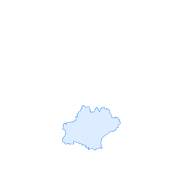

Boucle des Pyrénées
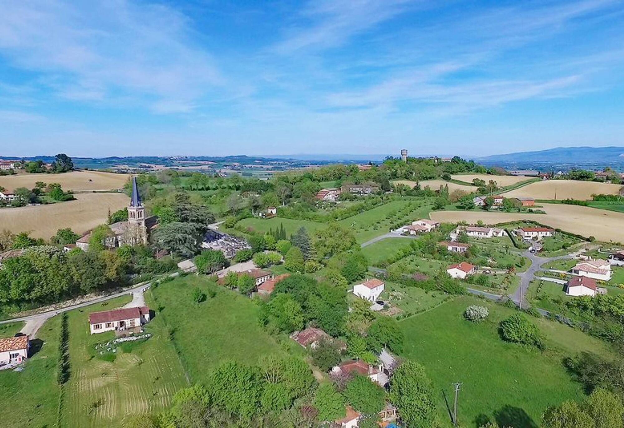
Treat yourself to some lovely views of the Lauragais countryside, the Montagne Noire and the Sor plain. On days when the Autan wind blows, you will have the chance to see the Pyrenean chain over the Lauragais...
Treat yourself to some lovely views of the Lauragais countryside, the Montagne Noire and the Sor plain. On days when the Autan wind blows, you will have the chance to see the Pyrenean chain over the Lauragais furrow. During this walk, you will also discover the local heritage with the church and castle of Aguts, and the castle of Montgey. After the hike, take the time to climb up to the Calvary of Aguts where the view of the Lauragais is remarkable. Created in 1878 following a mission, the priest at the time had the idea of erecting a cross on the Litrone hillock. In 1888, a first chapel was inaugurated, before the Stations of the Cross in 1889, and two other chapels thereafter.

1. Take the path to the forge with your back to the cemetery and the church. Cross the D45 to take the green path that leads to the castle of Aguts.
2. At the end of the path, turn right to join the road then left at the crossroads to cross the hamlet of "la Salle" by a dead end that becomes a path. You pass next to the calvary, if you wish to visit it, follow the signs on the right and return to the route by a small path behind the upper chapel.
3. When the path meets the D45, turn left to follow the road for a few meters before taking the path on the right that leads to the castle of Montgey.
4. Cross the village of Montgey then start your return to Aguts by the road of "la Serre", on the right at the junction. Follow this path for about 2 km.
5. When you reach the crossroads, turn right on the road towards Aguts. Continue 250m on this path before taking the grassy path on the left just after the grove. Continue 1km on this path.
6. At the end of the path, turn right onto the D92 to reach the village of Aguts and the pick-up point
Easy
Oblíbené prohlídky v okolí
Woad Path
světloTuristika 6.84 kmLa voie romaine
heavyTuristika 28.5 kmBoucle de la Ricaudié
středníTuristika 14.8 kmBoucle de Bertre
středníTuristika 17.7 kmBoucle de la Garrigue
světloTuristika 4.49 kmBoucle de Cuq-Château
světloTuristika 7.31 kmLA RIGOLE A VELO : LAC SAINT FERREOL - REVEL
středníMountainbike 4.63 km- 3.0
La table de Durfort - Église Saint-Étienne - Oppidum de Berniquaut - Durfort
středníTuristika 4.97 km Villefranche-de-Lauragais - Peniche Surcouf - Seuil de Naurouze - Partage des Eaux - Revel
středníŠotolinové kolo 47.1 kmSaint-Ferréol - Plo de Nestor - Durfort
středníTuristika 16.4 km
Pěší turistika a stopování


Nenechte si ujít nabídky a inspiraci pro vaši příští dovolenou
Vaše e-mailová adresa byl přidán do poštovního seznamu.