





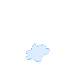
Gijounet greenway to Lacaune

The greenway located at the foot of the Monts de Lacaune winds along the Gijou on the old railway line known as the Petit Train. The shaded path offers passages through forests in small narrow valleys,...
The greenway located at the foot of the Monts de Lacaune winds along the Gijou on the old railway line known as the Petit Train. The shaded path offers passages through forests in small narrow valleys, beautiful distant views, and a remarkable site at Gourp Fumant (a succession of tunnels and viaducts).

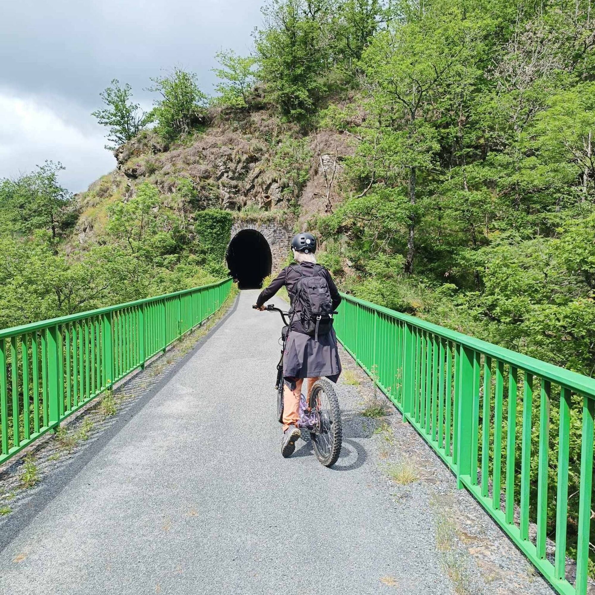

Nearly 11 km long with very little elevation change, this greenway is accessible to all levels. Be cautious at the two departmental road crossings (RD81 and RD622).
Ano
Very easy
Oblíbené prohlídky v okolí
-
4.0
LAUZE HIKE
středníTuristika 9.41 km -
CAR TOURISTIC ROUTE - MONTS DE LACAUNE
světloMotorrad 154.6 km -
From Laouzas to Montalet
heavyTuristika 15.4 km -
The Payrac discovery trail
světloTuristika 1.79 km -
CAR TOURISTIC ROUTE - THE LAKE ROUTE
světloMotorrad 129.1 km -
Le Mont Barre
světloTuristika 6.21 km -
Cycle Route - C4 Around the Laouzas lake by bike
světloSilniční kolo 19.8 km -
HAUTE VALLEE DE L'AGOUT HIKE
středníTuristika 17.0 km -
La balade Monteliote
heavyTuristika 13.0 km -
Canroute Peat Bog – Cows path
světloTuristika 3.13 km
Pěší turistika a stopování


Nenechte si ujít nabídky a inspiraci pro vaši příští dovolenou
Vaše e-mailová adresa byl přidán do poštovního seznamu.





