
Mont Valier via the Milouga pond
heavy
Pořiďte si tuto prohlídku do mobilního telefonu
Mont Valier via the Milouga pond
heavy
Turistika
21.24
km
Naskenujte QR kód a spusťte navigaci v aplikaci bergfex.


Pěší turistika a stopování





Mont Valier via the Milouga pond
heavy
Vzdálenost
21.2
km
Doba trvání
11:30
h
Ascent
2046
hm
Hladina moře
940 -
2811
m
Stažení skladby
Mont Valier via the Milouga pond
heavy
Turistika
21.24
km
Trasa
Réserve domaniale du Mont Vallier
(942 m)
Úhel pohledu
0.0 km
La Maison du Valier
(943 m)
Restaurace
0.2 km
Cascade de Nérech
(1410 m)
Vodopád
3.7 km
Refuge «Les Estagnous»
(2248 m)
Úkryt
7.0 km
Mont Valier
(2838 m)
Summit
8.9 km
Cabane du Taus
(1893 m)
Útočiště (neřízené)
15.0 km
Fontaine d'Aouen
(1691 m)
Zdroj:
16.6 km
Trasa
Mont Valier via the Milouga pond
heavy
Turistika
21.24
km
Réserve domaniale du Mont Vallier
(942 m)
Úhel pohledu
0.0 km
La Maison du Valier
(943 m)
Restaurace
0.2 km
Cascade de Nérech
(1410 m)
Vodopád
3.7 km
Cascade de la Lauze
(1593 m)
Vodopád
4.5 km
Cabane de Caussis
(1836 m)
Útočiště (neřízené)
5.5 km
Refuge «Les Estagnous»
(2248 m)
Úkryt
7.0 km
Mont Valier
(2838 m)
Summit
8.9 km
Refuge «Les Estagnous»
(2248 m)
Úkryt
10.7 km
Cabane du Taus
(1893 m)
Útočiště (neřízené)
15.0 km
Fontaine d'Aouen
(1691 m)
Zdroj:
16.6 km
La Maison du Valier
(943 m)
Restaurace
20.9 km
Autor
Poskytuje Ariège Pyrénées Tourismus
Prohlídku Mont Valier via the Milouga pond zajišťuje outdooractive.com.

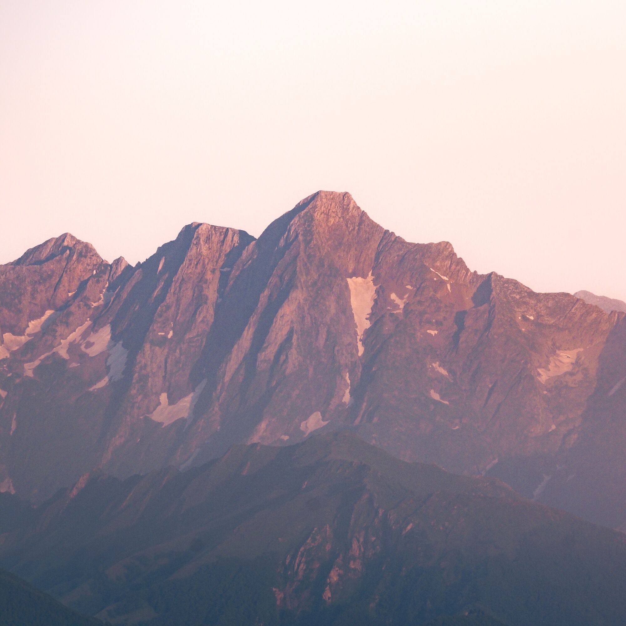
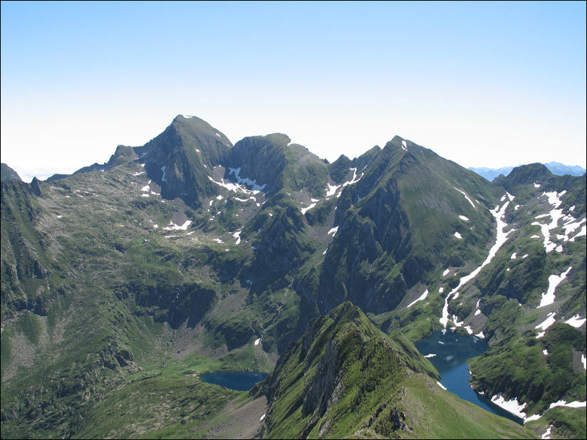
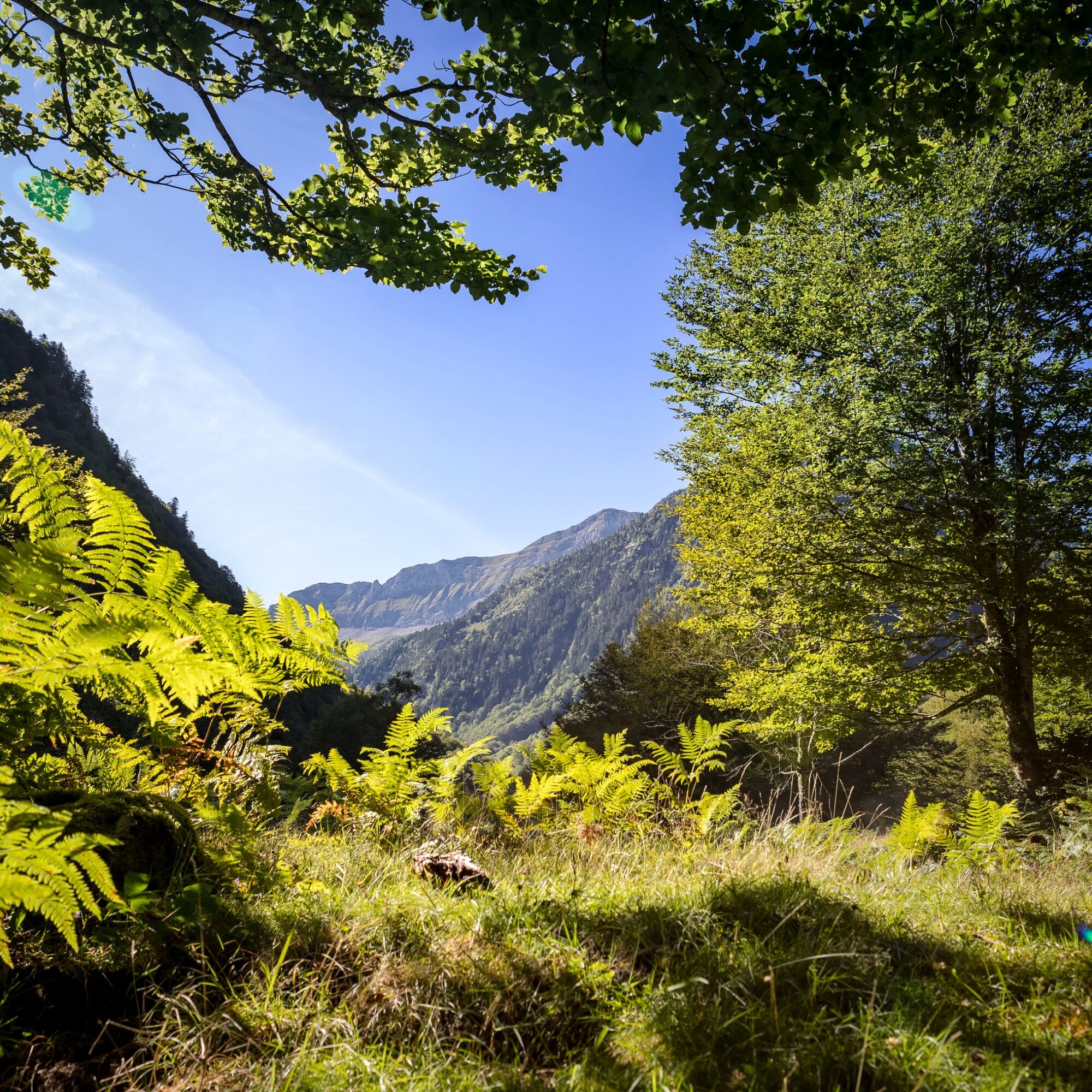
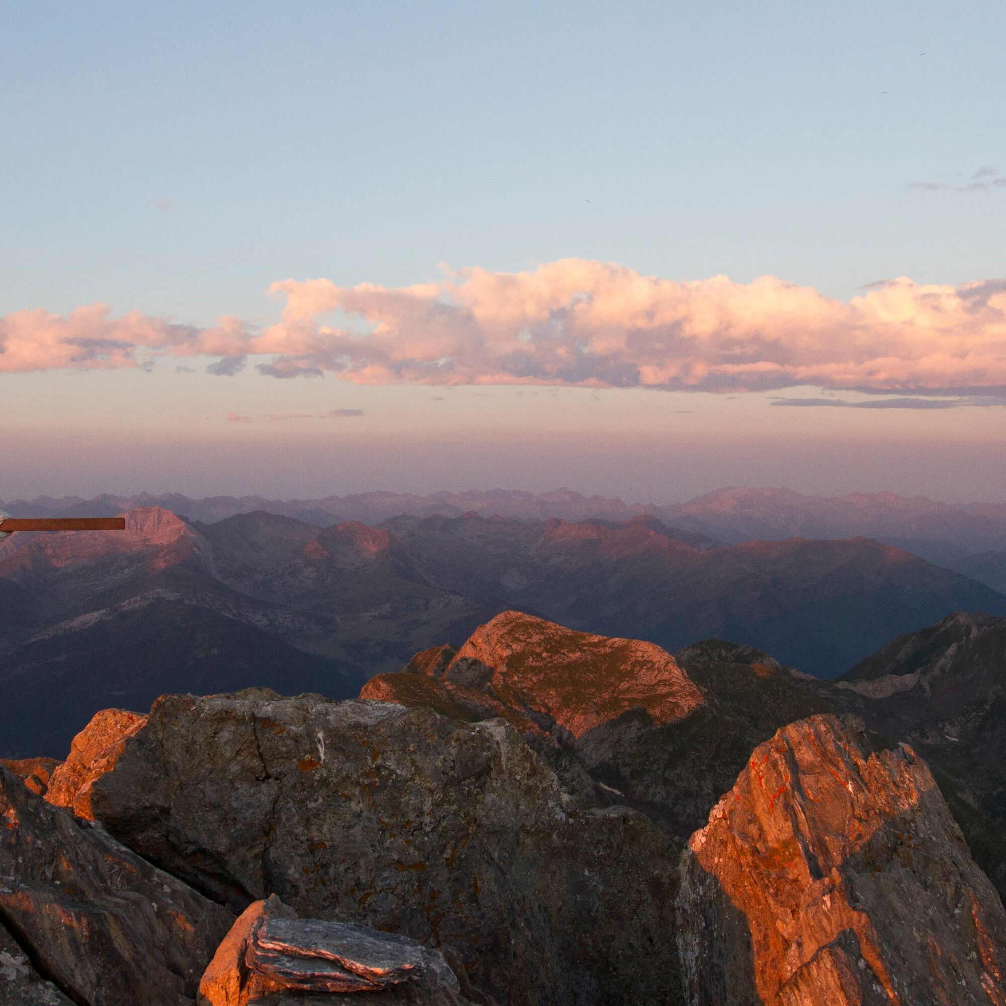

Informace o trase
Trasa
1/Departure from the Pla de la Lau car park 0h - 935 m Follow the GR10 down to the stream and to the right (signposted), leaving it quickly (do not cross the footbridge) to go straight ahead on the Port de la Girelle GRT (cross-border), signposted in red and white. A little further on, leave the Barlonguère route on the right and cross two footbridges on the left. Go up the right bank of the stream along the well-marked path that continues through the forest and ends near a rock shelter (la tutte de l'ours). The path splits and a footbridge allows you to follow the route on the other bank to reach the
2/Cascade de Nérech 1h40 - 1350 m Cross the footbridge and climb the switchbacks carved into the rock. Further on you come out into the meadow and continue as far as
3/La cabane de Caussis 3h - 1859 m At the fork in the path, take the path up on the left, still signposted in red and white (the path on the right takes 30 minutes to the Etang Rond). The climb is less steep and it won't be long before you reach the
4/Refuge des Estagnous 4h - 2246 m Leave the red and white markings and follow the well-marked yellow path (heading east-south-east). It quickly rises to a rocky spur that can be bypassed on the right. The climb is steep (snow-covered at the start of the season) towards the Col de Faustin. The route then becomes easy, deviates slightly from the ridge and quickly leads to the
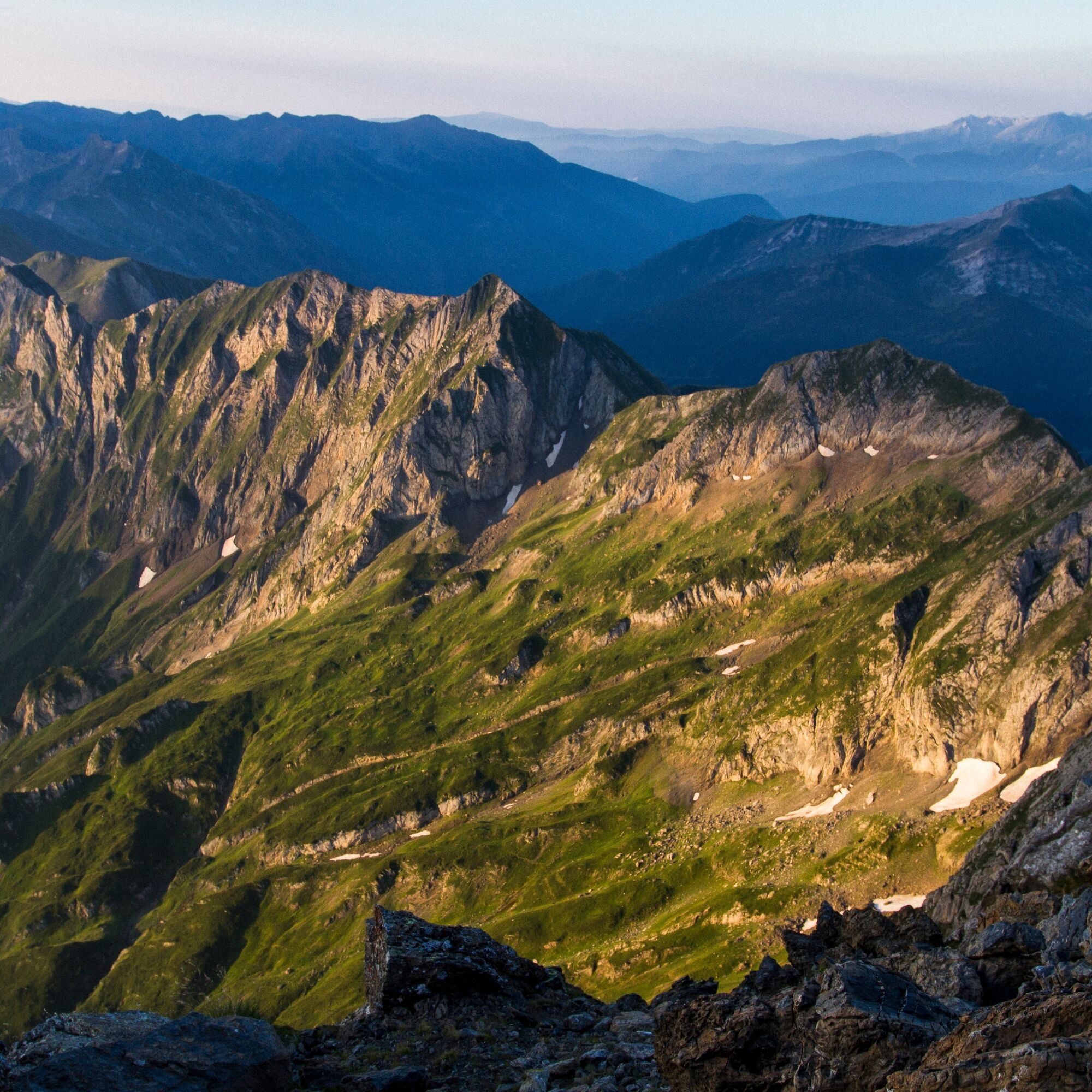
5/Summit of Mont-Valier 5h30 - 2838 m The return journey takes the same route in the opposite direction to the refuge, behind which the yellow signposted trail climbs to the Col de Pécouch (2462 m) and descends through the Lauzés (a large granite plain that is best crossed without fog) to arrive at
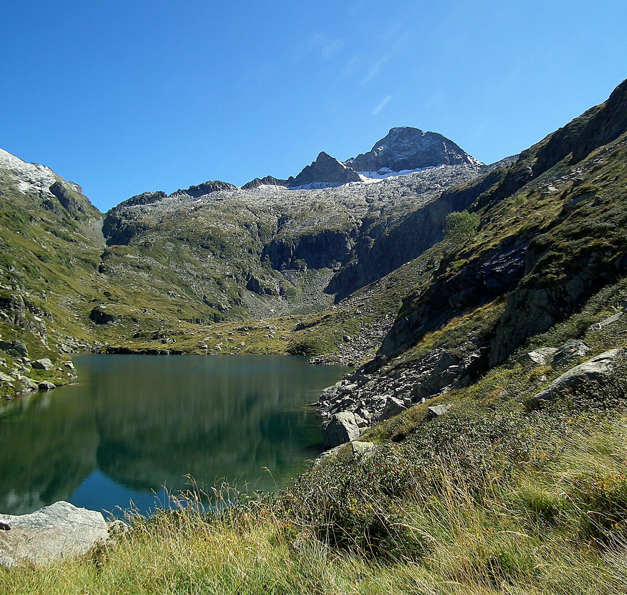
6/Milouga pond (1959 m). An almost flat crossing (always marked in yellow) takes you back to the
7/Taus hut (1890 m). From here a gentle climb joins the GR10 (red and white), which takes you to the Aouen hut and then a long descent to the Pla la Lau car park.
8/Parking du Pla de la Lau 11h30 935 m
2/Cascade de Nérech 1h40 - 1350 m Cross the footbridge and climb the switchbacks carved into the rock. Further on you come out into the meadow and continue as far as
3/La cabane de Caussis 3h - 1859 m At the fork in the path, take the path up on the left, still signposted in red and white (the path on the right takes 30 minutes to the Etang Rond). The climb is less steep and it won't be long before you reach the
4/Refuge des Estagnous 4h - 2246 m Leave the red and white markings and follow the well-marked yellow path (heading east-south-east). It quickly rises to a rocky spur that can be bypassed on the right. The climb is steep (snow-covered at the start of the season) towards the Col de Faustin. The route then becomes easy, deviates slightly from the ridge and quickly leads to the
5/Summit of Mont-Valier 5h30 - 2838 m The return journey takes the same route in the opposite direction to the refuge, behind which the yellow signposted trail climbs to the Col de Pécouch (2462 m) and descends through the Lauzés (a large granite plain that is best crossed without fog) to arrive at
6/Milouga pond (1959 m). An almost flat crossing (always marked in yellow) takes you back to the
7/Taus hut (1890 m). From here a gentle climb joins the GR10 (red and white), which takes you to the Aouen hut and then a long descent to the Pla la Lau car park.
8/Parking du Pla de la Lau 11h30 935 m
Další informace a tipy
Další informace
You are at the heart of the Ariège Pyrenees Natural Park.
We encourage you to adopt responsible behavior in this fragile and shared environment.
- Stay on the trails and take your trash with you.
- Observe the flora without picking it.
- Stay discreet for the wildlife.
- In grazing areas, remember to close fences and gates. Do not approach or feed the animals. If a Patou (livestock guardian dog) approaches you, move away slowly and calmly. No sudden movements or shouting, even if it barks, as it would consider you a threat. If it follows you, ignore it.
- Swimming in the lakes of the Bethmale municipality is prohibited. This concerns the lakes of Bethmale, Ayes, Eychelle, Milouga, Arouech, and Cruzous. (Order AR-2024-004 dated 05/12/2024)
- Bivouacking is allowed, but only between 7 PM and 9 AM, and more than an hour's walk from a parking lot.
- During drought periods, all fires are forbidden. Otherwise, fires are permitted only at more than 200m from a forest. Prefer stoves over natural fire pits.
- In the very unlikely event of encountering a bear (which tries to avoid us at all costs): calmly make your presence known, move away gradually, and do not run.
We encourage you to adopt responsible behavior in this fragile and shared environment.
- Stay on the trails and take your trash with you.
- Observe the flora without picking it.
- Stay discreet for the wildlife.
- In grazing areas, remember to close fences and gates. Do not approach or feed the animals. If a Patou (livestock guardian dog) approaches you, move away slowly and calmly. No sudden movements or shouting, even if it barks, as it would consider you a threat. If it follows you, ignore it.
- Swimming in the lakes of the Bethmale municipality is prohibited. This concerns the lakes of Bethmale, Ayes, Eychelle, Milouga, Arouech, and Cruzous. (Order AR-2024-004 dated 05/12/2024)
- Bivouacking is allowed, but only between 7 PM and 9 AM, and more than an hour's walk from a parking lot.
- During drought periods, all fires are forbidden. Otherwise, fires are permitted only at more than 200m from a forest. Prefer stoves over natural fire pits.
- In the very unlikely event of encountering a bear (which tries to avoid us at all costs): calmly make your presence known, move away gradually, and do not run.
Zatím žádné recenze

Oblíbené prohlídky v okolí
-
Mont Valier
heavyTuristika 17.6 km -
5.0
Pic du Maubermé
heavyTuristika 11.8 km -
Mail Blanc Circuit
světloTuristika 10.8 km -
Tour of Mont Valier
heavyTuristika 77.6 km -
GR 10 Couserans Pyrénées - Castillon
heavyTuristika 37.2 km -
GR10 Pyrenäenweg Etappe 30
světlodálková pěší trasa 7.90 km -
Estanys
středníTuristika 8.40 km -
Étang d'Ayes
světloTuristika 7.32 km -
Les sabots de Bethmale - Circuit n°3
světloSilniční kolo 64.7 km -
Puerto de la Bonaigua - Tuc de la Llança
heavyHorská turistika 6.60 km
Pěší turistika a stopování

Více než 550.000 návrhů výletů, podrobné mapy a intuitivní plánovač tras dělají z aplikace nezbytnou výbavu pro všechny milovníky přírody.

Nenechte si ujít nabídky a inspiraci pro vaši příští dovolenou
Přihlaste se k odběru newsletteru
Chyba
Došlo k chybě. Zkuste to prosím znovu.
Děkujeme za vaši registraci
Vaše e-mailová adresa byl přidán do poštovního seznamu.
Zájezdy po celé Evropě
Rakousko
Švýcarsko
Německo
Itálie
Slovenia
Francie
Nizozemsko
Belgie
Polsko
Lichtenštejnsko
Česko
Slovensko
Španělsko
Chorvatsko
Bosna a Hercegovina
Lucembursko
Andorra
Portugal
Iceland
United Kingdom
Ireland
Greece
Albania
North Macedonia
Malta
Norway
Montenegro
Moldova
Kosovo
Hungary
San Marino
Romania
Estonia
Latvia
Belarus
Cyprus
Lithuania
Serbia
Bulgaria
Monaco
Denmark
Sweden
Finland





