


Soulane de Buzan
Lookout point on the northern ridge with views over the valley and the peaks of the Couserans

Lavoir de Buzan (at the top of the village) 0 h 721 m
Go straight ahead along the level track (marked in red and white) and turn right at the first junction and left a little further on.
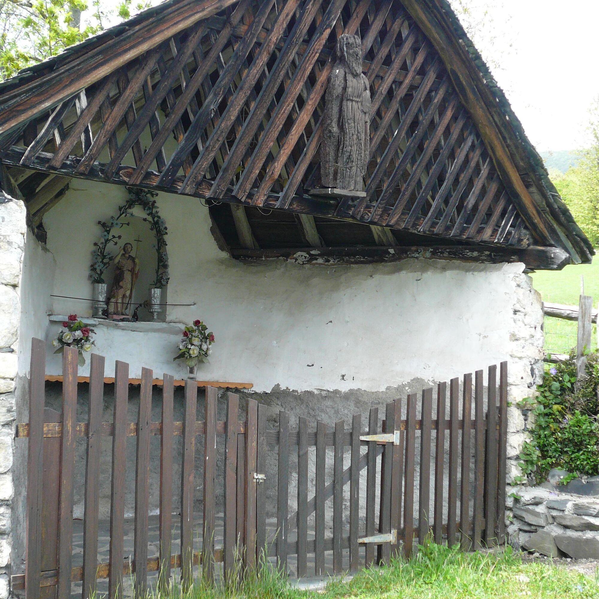
Croix de Casseich (small chapel dating from 1693) 0h 20 821 m (named Cassette on the IGN)
Continue left, then right: a slight descent. Cross a small stream after turning left again. After a bend, the route climbs to the right and then right again. You end up in a meadow dotted with birch trees. Keep level to leave the meadow.
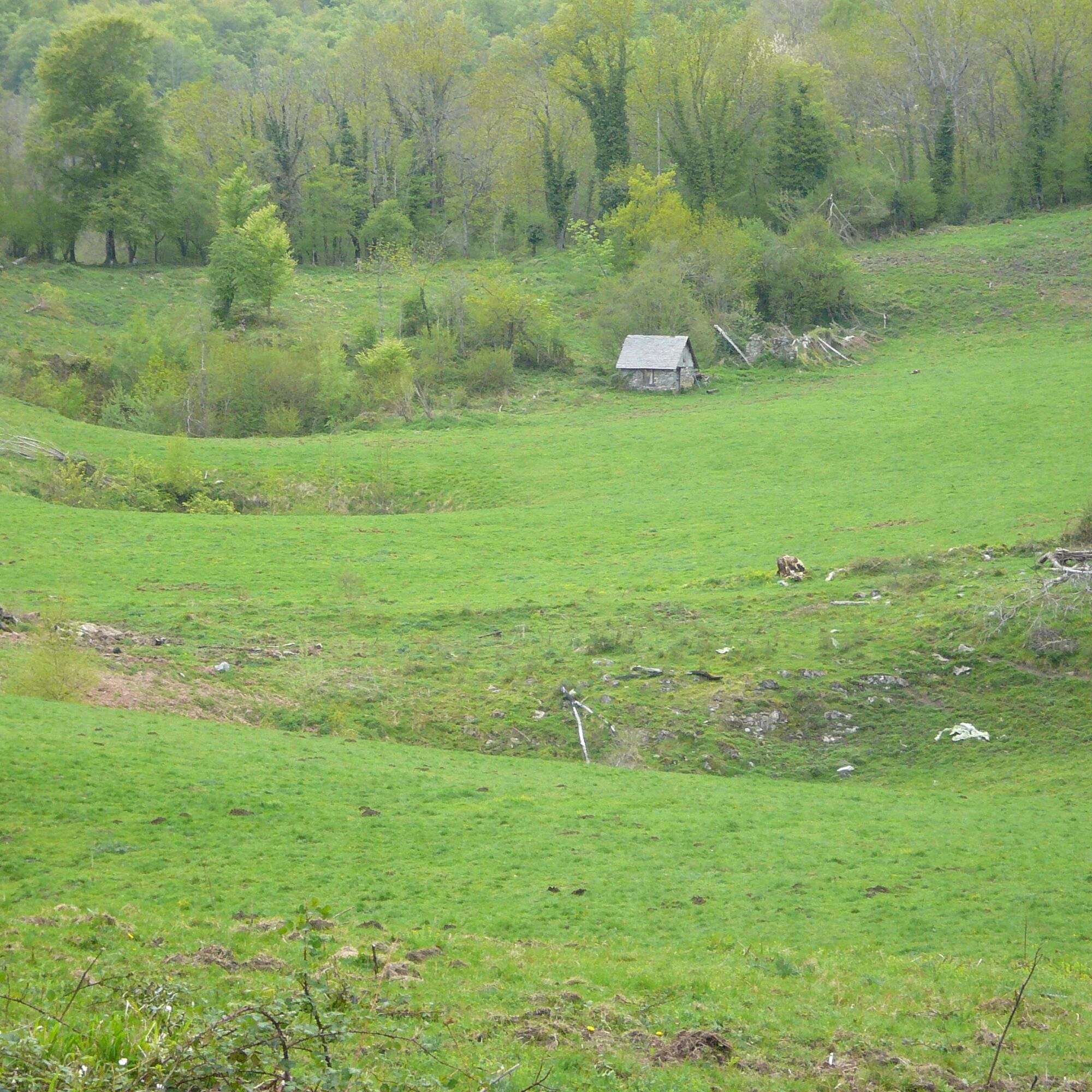
Le Plan 1 h 950 m
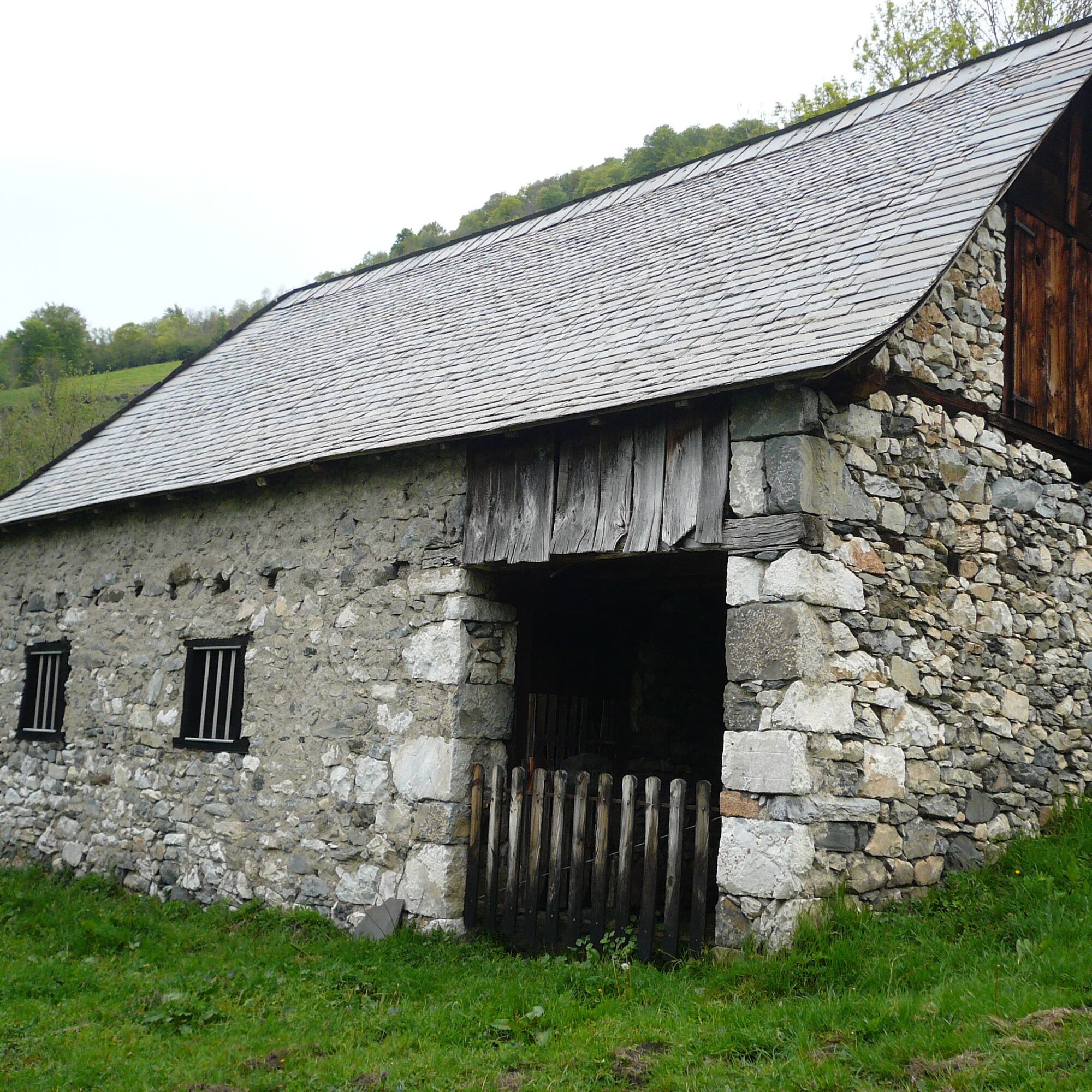
Follow the path to the right (ruined barns), which offers magnificent views from the Col de la Core to the Pic de la Calabasse. As you enter the heathland, you will pass meadows before coming to the fork in the road.
fork (barrier on the right) 1 h 40 1089 m
At this point, on the right, you can descend quickly into the meadow to reach the village of Buzan.
Alternatively, continue left along the track that leads to a turning-off point for a forest track. Take the wide, stony path to the right to reach a fork in the road. You will reach the
Col d'Antys (this pass is not very visible in the forest) 2 h 1053 m
Continue along the path and descend to the left. Be careful to follow the signs at the start of the winding descent.
Cross the forest track 2 h 20 877 m and follow it to the left to reach the village of
Buzan 2 h 45 721 m
Wir bitten Sie, in diesem empfindlichen und geteilten Lebensraum verantwortungsbewusst zu handeln.
- Bleiben Sie auf den Wegen und nehmen Sie Ihren Müll mit.
- Beobachten Sie die Flora, ohne sie zu pflücken.
- Seien Sie unauffällig gegenüber wilden Tieren.
- In Weidegebieten denken Sie bitte daran, Zäune und Tore wieder zu schließen. Nähern Sie sich den Tieren nicht und füttern Sie sie nicht. Wenn ein Patou (Schutzhund für Herden) sich Ihnen nähert, entfernen Sie sich langsam und ruhig. Keine hektischen Bewegungen oder Schreie, auch wenn er bellt, da er Sie sonst als Bedrohung ansehen würde. Wenn er Ihnen folgt, ignorieren Sie ihn.
- Das Schwimmen in den Seen wird nicht empfohlen. Sonnencreme (auch Bio!) und andere Kosmetika verursachen in diesem empfindlichen Lebensraum Umweltverschmutzung.
- Biwakieren ist erlaubt, aber nur zwischen 19 Uhr und 9 Uhr und mindestens eine Stunde Fußweg vom Parkplatz entfernt.
- Während Trockenperioden ist jegliches Feuer verboten. In anderen Fällen sind Feuer nur mehr als 200 m entfernt von einem Wald erlaubt. Bevorzugen Sie Campingkocher gegenüber natürlichen Feuerstellen.
- Im Falle einer Begegnung mit einem Bären (was sehr unwahrscheinlich ist, da er uns unbedingt ausweichen möchte): machen Sie sich ruhig bemerkbar, entfernen Sie sich langsam und rennen Sie nicht.
Oblíbené prohlídky v okolí
-
Tour of Mail des Morères
středníTuristika 8.34 km -
Tour du Biros
heavyTuristika 50.4 km -
Tour du Mail Blanc
světloTuristika 10.8 km -
Pic du Crabère
heavyTuristika 23.4 km -
Étang d'Araing
heavyTuristika 17.7 km -
GR 10 Couserans Pyrénées - Castillon
heavyTuristika 37.2 km -
The Tour Sainte Catherine
světloTuristika 4.27 km -
Étang d'Ayes
světloTuristika 7.32 km -
GR10 Pyrenäenweg Etappe 30
světlodálková pěší trasa 7.90 km -
Les sabots de Bethmale - Circuit n°3
světloSilniční kolo 64.7 km
Pěší turistika a stopování


Nenechte si ujít nabídky a inspiraci pro vaši příští dovolenou
Vaše e-mailová adresa byl přidán do poštovního seznamu.