







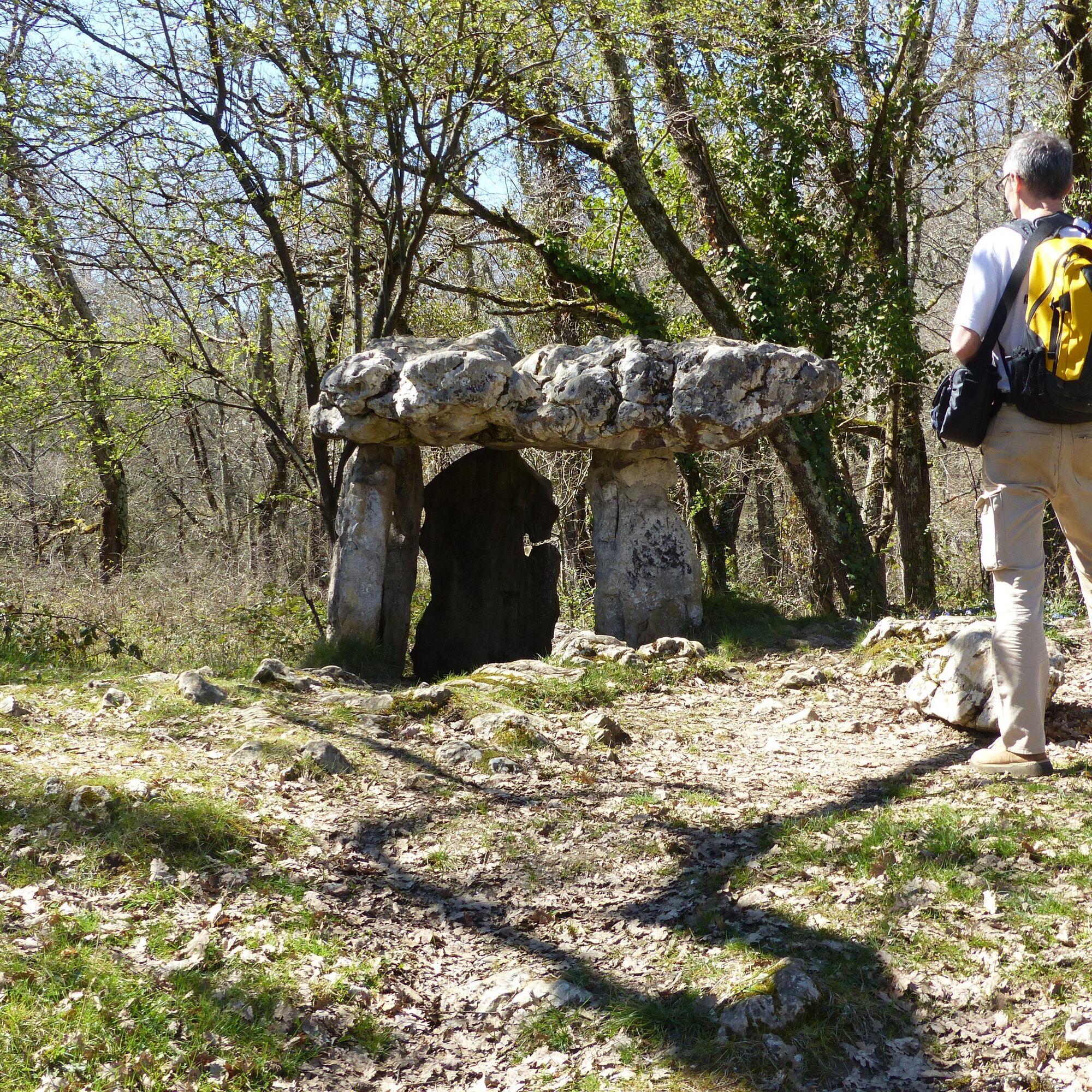
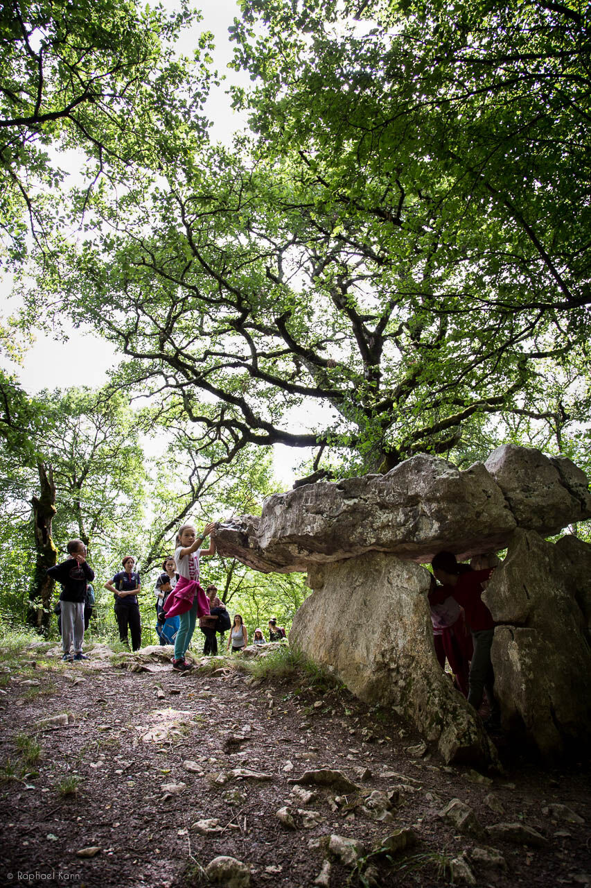
The dolmen of Cap Del Pouech
Consigne en randonnée : tenir les chiens en laisse, ils pourraient affoler les troupeaux.


1. Cross the Louis XIII bridge and take the small road to the left towards the dolmen. Continue for 300m.
2. At the cross, leave the road and take the path that climbs to the left (dry stone walls) towards the dolmen (signpost). Leave the Angles path to the left and climb until an intersection.
3. Leave the return path on the left, which descends to Mas-d’Azil (Mathilde path), and continue the ascent (fountain on the right). Reach the road. Take it to the left. It runs along the Cap del Pouech property and leads to the dolmen of the same name. Return the same way, start the descent and find the outward intersection again.
4. Descend to the right towards Mas-d’Azil. Leave the Angles path to the left and continue straight towards the river and the town. Cross the Arize and arrive at the Bout de le Ville square by a footbridge. Turn left onto rue du Moulin, then take rue des Gouzy to reach the town square.
Oblíbené prohlídky v okolí
The Pyrenean Piedmont Route GR®78
heavyTuristika 152.8 kmThe solitary trail
heavyTuristika 2.62 kmLa Carlanaise via Canales
světloTuristika 11.0 kmCycling & Cheese Route
středníJízda na kole 55.6 kmThe tour of Lake Filheit
světloTuristika 7.29 kmCycle touring route - Le Mas-d'Azil
středníSilniční kolo 77.3 kmCyclosport route 4 - La Marco Casartelli
heavySilniční kolo 131.5 kmThe Ariège MTB Crossing - Stage 10: From Mas d'Azil to Lescure
heavyMountainbike 16.5 kmCyclotourism circuit - Welcome to the land of Foix
heavySilniční kolo 70.0 kmThe Ariège MTB Crossing - Stage 09: Montégut Plantaurel to Le Mas d'Azil
heavyMountainbike 23.6 km
Pěší turistika a stopování


Nenechte si ujít nabídky a inspiraci pro vaši příští dovolenou
Vaše e-mailová adresa byl přidán do poštovního seznamu.





