


OENORANDO® LA THONGUE ET SES COTEAUX
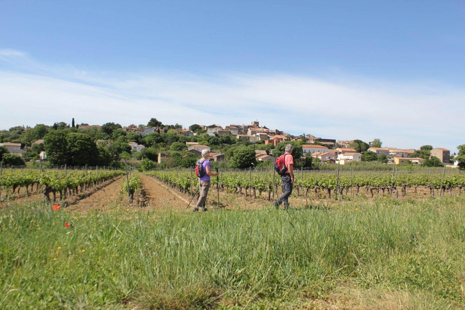
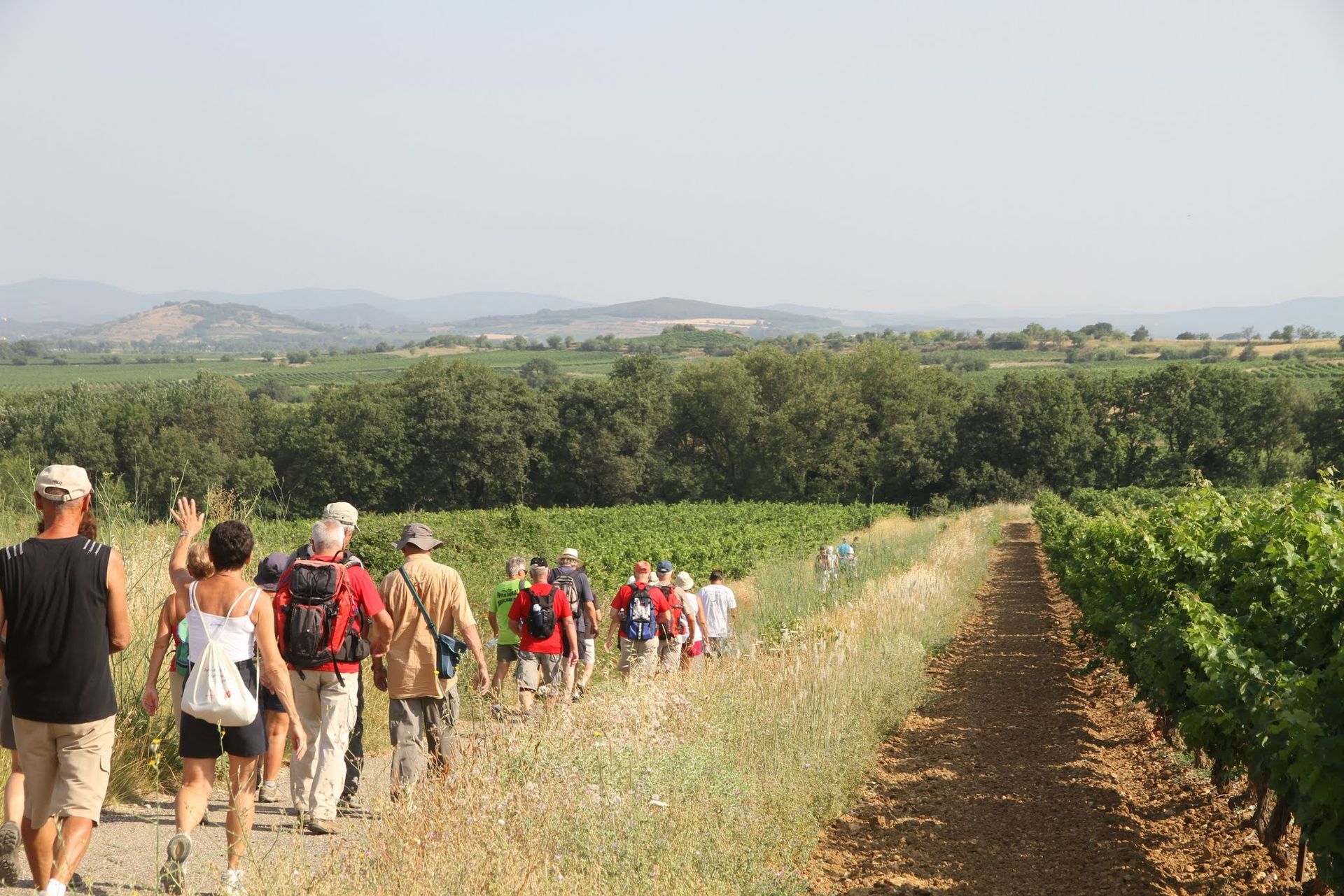
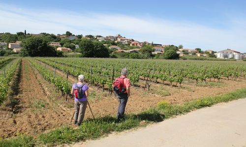
Route in the heart of the Côtes de Thongue vineyard (IGP Côtes de Thongue wines), made up of a wide variety of soils and grape varieties. The winemakers of the Côtes de Thongue are committed to protecting...
Route in the heart of the Côtes de Thongue vineyard (IGP Côtes de Thongue wines), made up of a wide variety of soils and grape varieties. The winemakers of the Côtes de Thongue are committed to protecting their vineyard landscape and preserving certain species, but also in favor of water quality, particularly of the Thongue river. This terroir is marked by the presence of the “Folies languedociennes,” winegrowers' châteaux that bear witness to the richness that viticulture experienced between the mid-19th century and the early 20th century. These homes combine all architectural eras (Middle Ages, Renaissance, etc.) and are surrounded by large parks and winter gardens. Very specific to the region, these winegrowers' châteaux, still all private properties today, testify to an important chapter in the history of Languedoc viticulture.
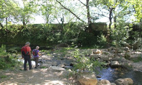
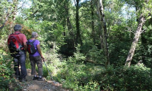
Throughout this walk, you will follow the banks of the Thongue, which originates at Fos and flows into the Hérault river at Saint-Thibéry. The Thongue river has a low-flow bed that flows gently during most of the year. It only takes a torrential rain at the beginning of autumn, a Cévenol episode, for this bed to turn into a violent torrent, destroying (almost) everything in its path.

1
With your back to the cooperative cellar, turn left and at the crossing, left again. Leave the village and at the first junction, take the small road to the right through the vines. At the end, turn onto the path on the left along the Thongue, then go up to the left until the road. Continue to the D 33 which is taken to the right. Cross the bridge.
2
In the pines, go right and find the track that returns towards the Thongue; follow it on the left bank, at the edge of the vines, then cross a small wood to the road. Turn left and at the next intersection, left again. Cross the D 33 (caution) and continue through the vines to the hamlet of Montarels. Take the road to the left for about 150 m.
3
Take the left track. Walk on a balcony above the vines (view of the Margon château, to the north). Further on, come out onto a road which is descended to the left. Cross the ford over the Thongue, then climb back towards the vines for about 50 m.
4
Turn right along the vine, go around it, then access the lower vineyard by a path on the right. Follow the Thongue and at the mazet, climb the track opposite.
5
At the intersection, turn left. Cross the D 146 (caution) and continue straight on for 1.5 km, skirting the vineyard, to the crossroads adorned with olive trees.
6
Turn right and walk about 500 m (view of the Saint-Preignan château). Climb left and at the next intersection, continue right to climb the Pioch Poumat. After descending, reach the D 146E2 which is taken to the left.
7
Before the pylon, go right on the track. At the road, descend twice to the right (picnic area). Cross a ford, then at the intersection, turn left (at the next ford, left access to the remains of a wind turbine, return the same way). Continue on the road for about 40 m, then turn left onto the track winding through vines and olive trees.
8
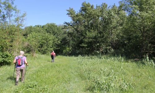
Turn left again across a field, cross a ford. At the crossing, turn right and immediately left towards Coulobres. Successively take rue du Puits, rue de la Calade and Grand’Rue. At the end, take the avenue du Pech Bellonet straight ahead (view of Abeilhan and the vineyard). Follow the fenced vineyard, then go down the track bordered by olive trees. At the bottom, continue straight ahead, pass a housing estate and the stadium. Take the path continuing on; it leads to a road which you follow to the left.
9
At the cross, take the left track. At the crossing, take the road to the right and join the D 33 in Abeilhan. Cross it, then follow it to the left until the intersection with the D 146. Climb right, then turn left onto boulevard Louis-Pasteur until the parking lot.
In case of emergency, dial 112
Think about carpooling
Favor the train for your travels
Parking near the starting point
- Water point on the forecourt of the Abeilhan cooperative cellar (at the start).
- Possibility to picnic on the banks of the Thongue and under the pine trees after crossing the RD33 bridge
Yellow PR
+33 4 67 36 67 13
Avant-Monts Tourist Office
Oenorando®
Oblíbené prohlídky v okolí
-
5.0
SAINT ANTOINE HERMITAGE HIKE
světloTuristika 9.91 km -
5.0
PECH BELET HIKE
světloTuristika 4.41 km -
OENORANDO® OF THE BALCONS D’ALIGNAN DU VENT
středníTuristika 12.7 km -
OENORANDO® OF THE VINEYARDS AND VOLCANOES OF FONTES
středníTuristika 11.2 km -
VINEYARDS AND VOLCANOES TRAIL OF FONTES
světloTrailrunning 11.2 km -
HIKE TO DISCOVER THE WILD ORCHID
světloTuristika 2.61 km -
OENORANDO® LES HAUTS DE CORNEILHAN
světloTuristika 10.3 km -
ESTABEL TRAIL
středníTrailrunning 28.7 km -
CIRCUIT TABARKA ISLAND – BÉZIERS MÉDITERRANÉE VTT-FFC AREA
středníMountainbike 17.2 km -
SENTIER DES MINES HIKING TRAIL
světloTuristika 6.83 km
Pěší turistika a stopování


Nenechte si ujít nabídky a inspiraci pro vaši příští dovolenou
Vaše e-mailová adresa byl přidán do poštovního seznamu.