
GR®736, Gorges et Vallée du Tarn
heavy
Pořiďte si tuto prohlídku do mobilního telefonu
GR®736, Gorges et Vallée du Tarn
heavy
Turistika
315.28
km
Naskenujte QR kód a spusťte navigaci v aplikaci bergfex.


Pěší turistika a stopování





GR®736, Gorges et Vallée du Tarn
heavy
Vzdálenost
315.3
km
Doba trvání
98:45
h
Ascent
7815
hm
Hladina moře
143 -
1447
m
Stažení skladby
GR®736, Gorges et Vallée du Tarn
heavy
Turistika
315.28
km
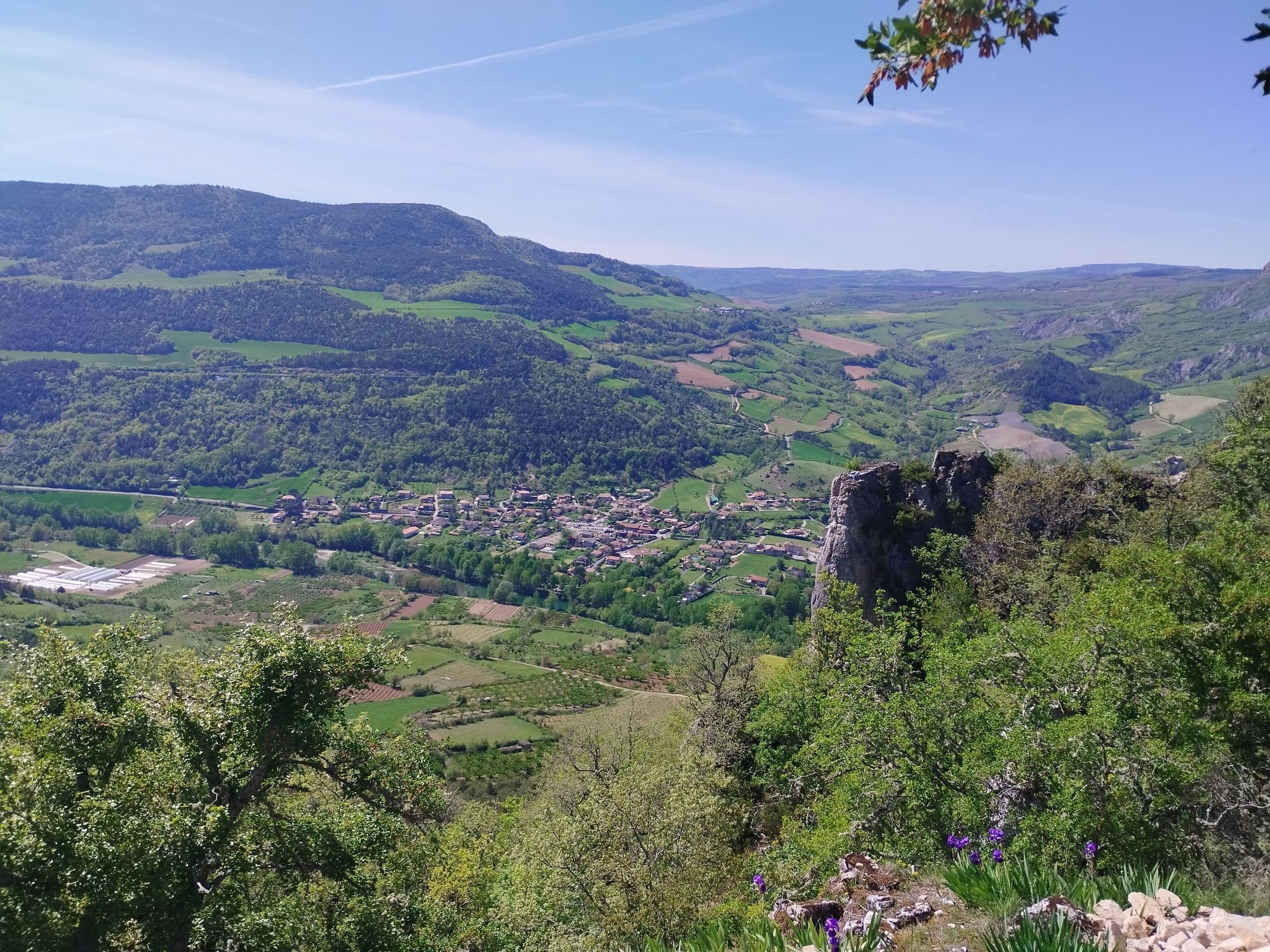
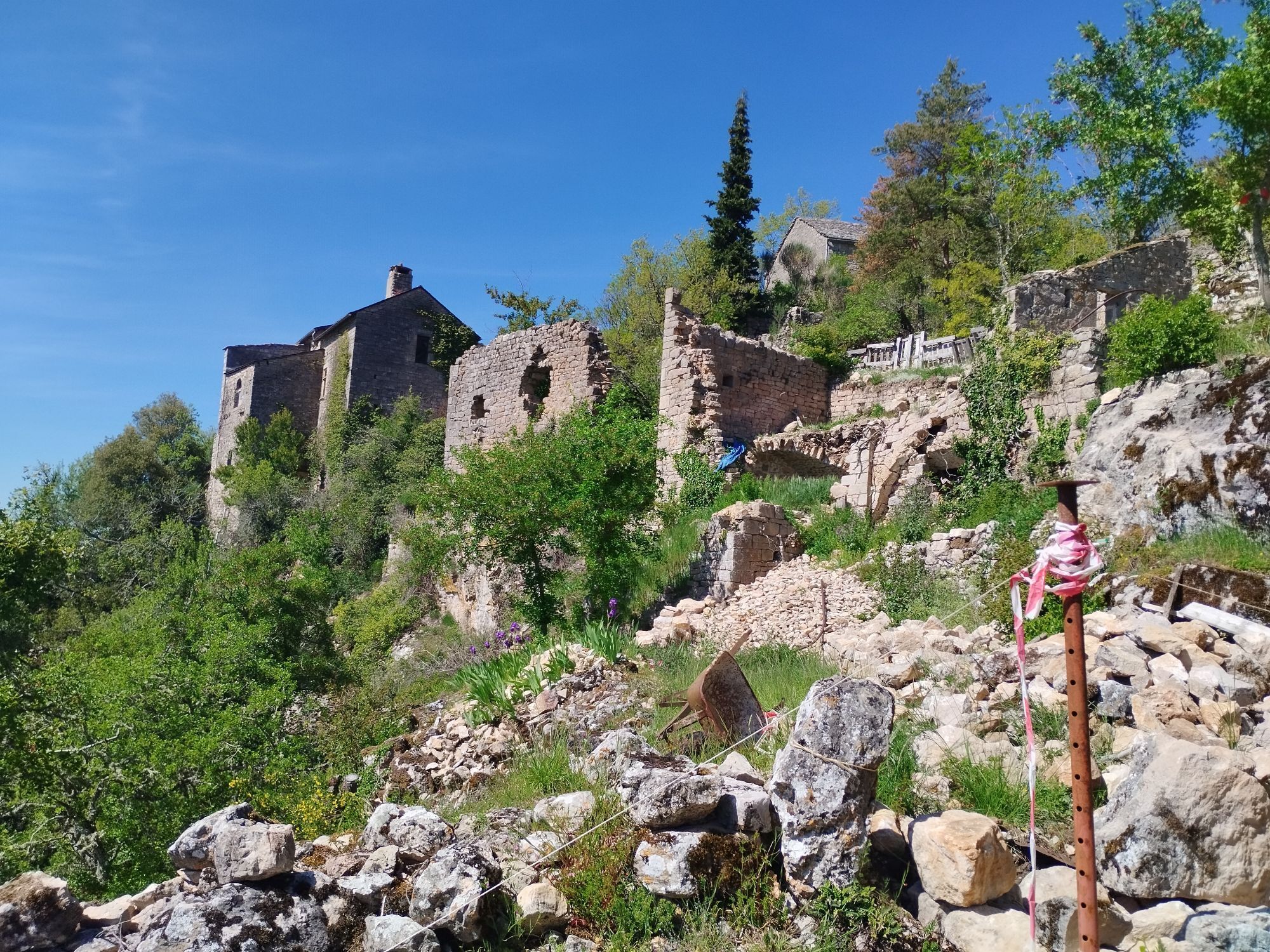
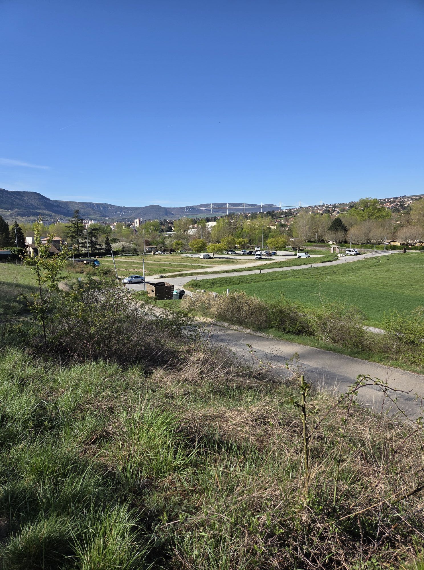
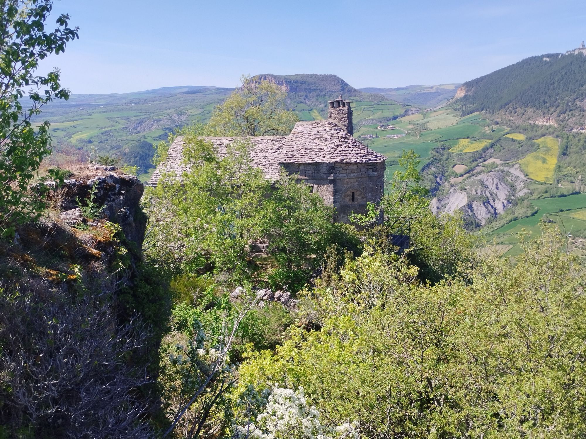
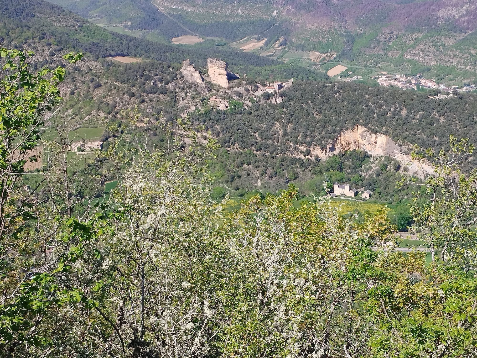
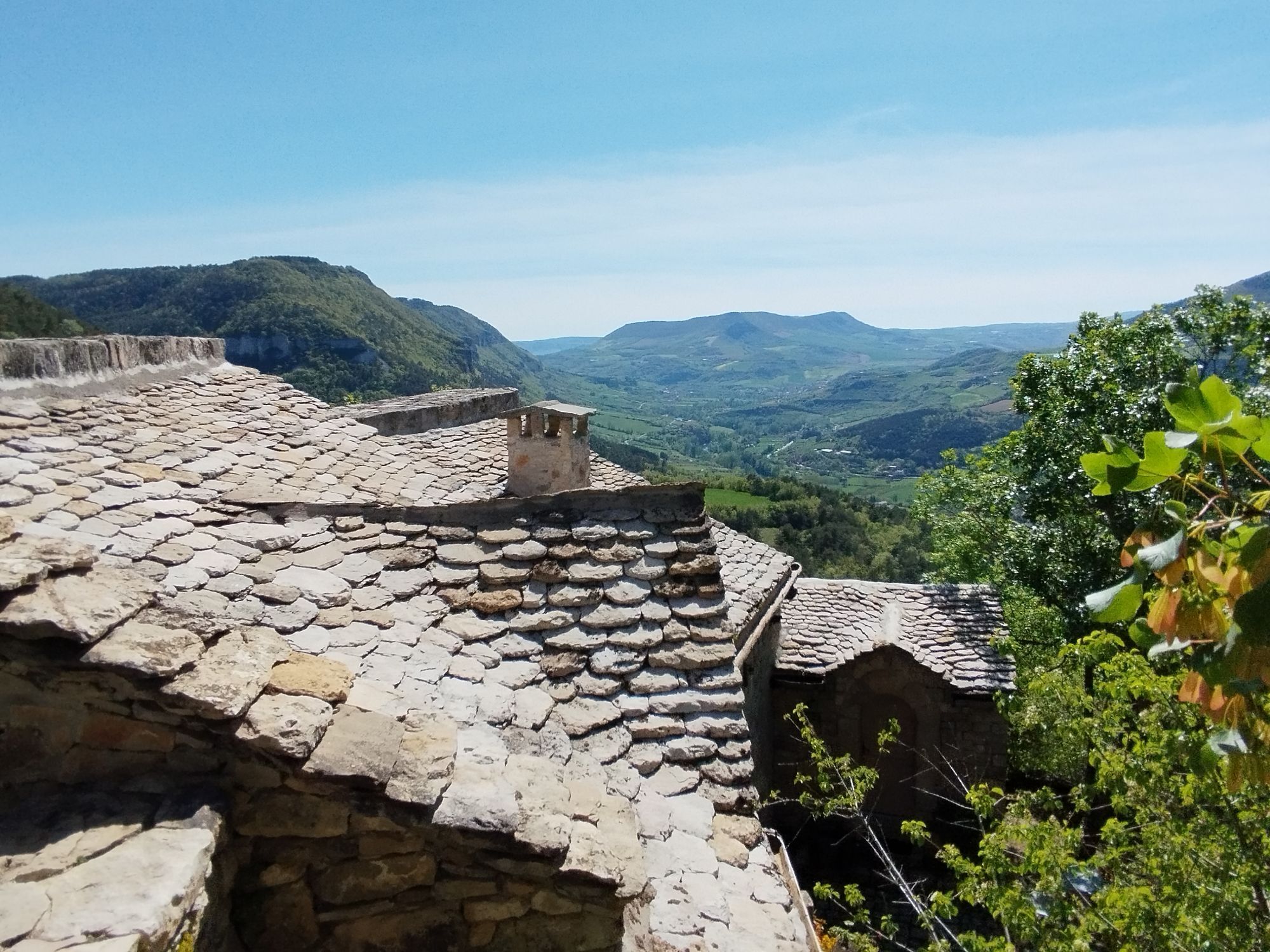
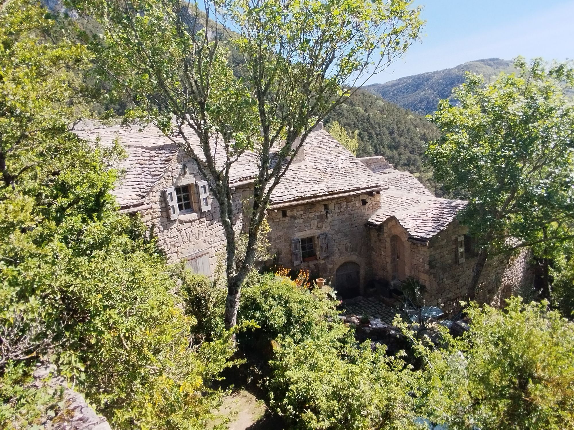
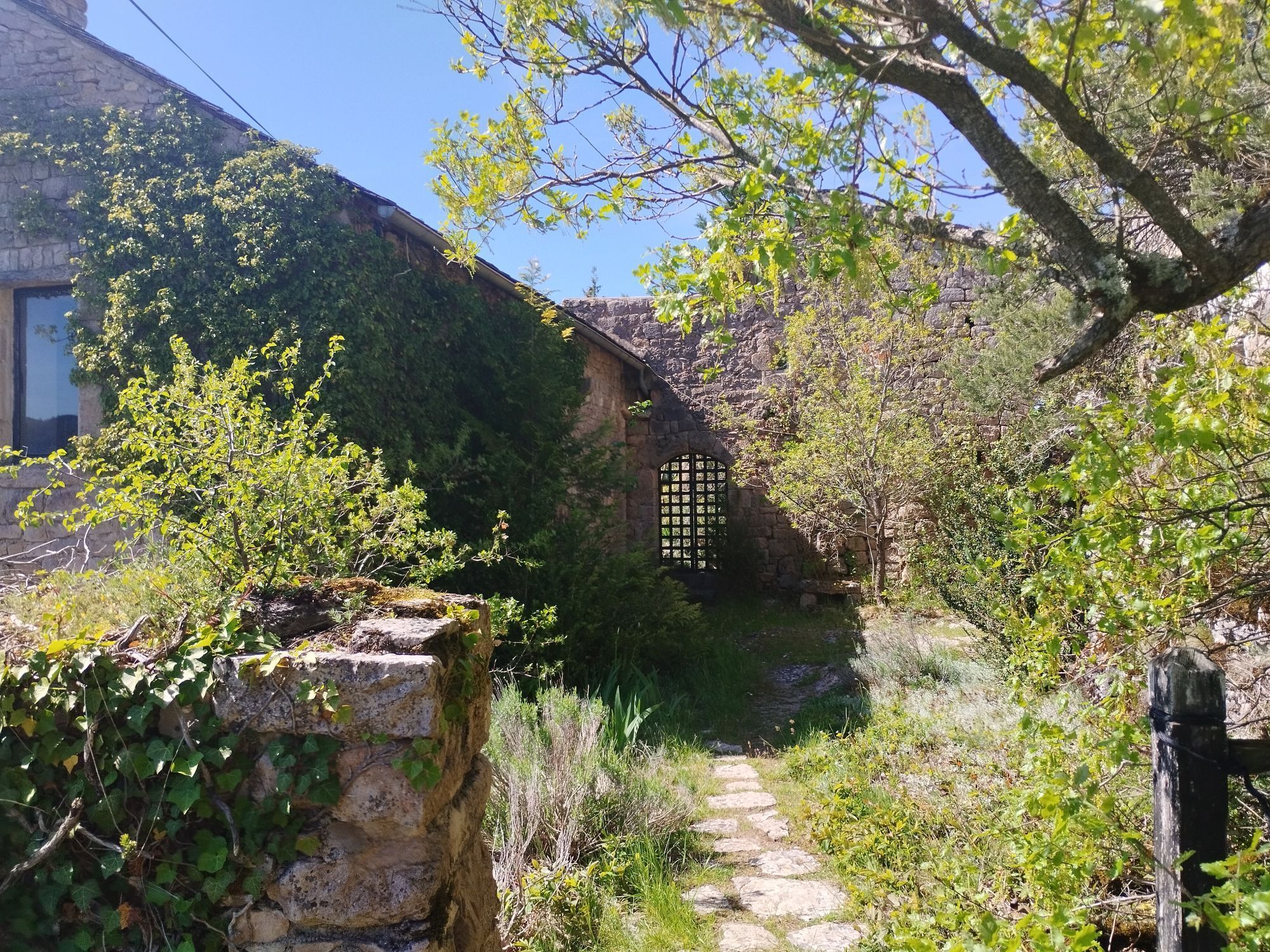
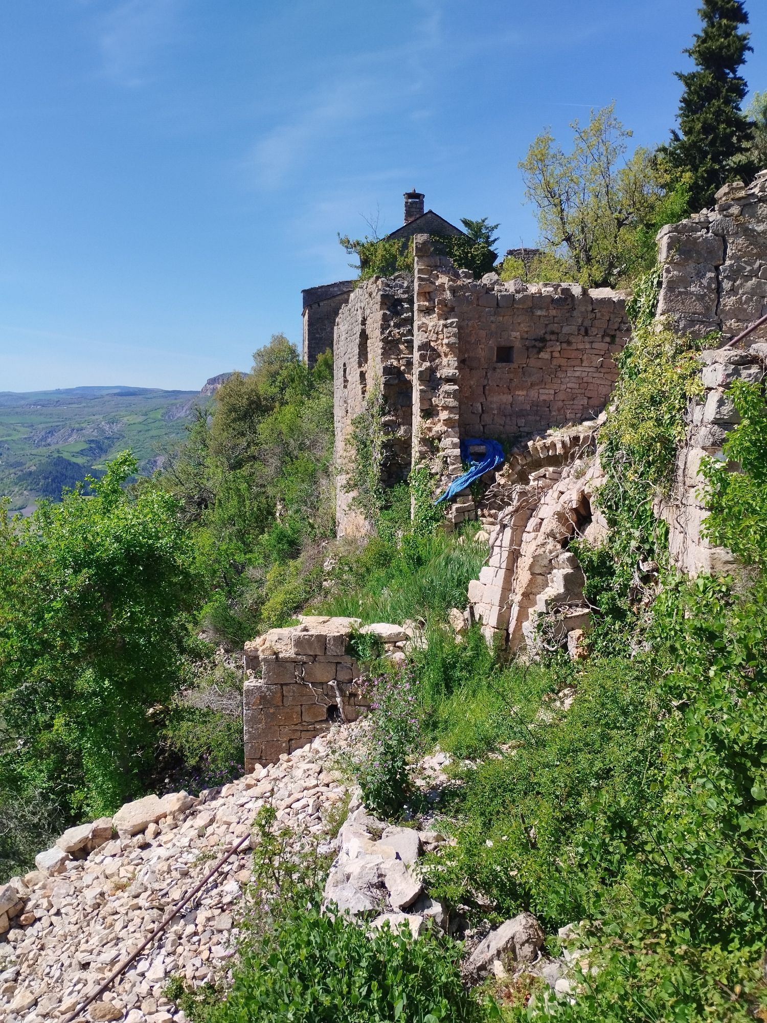
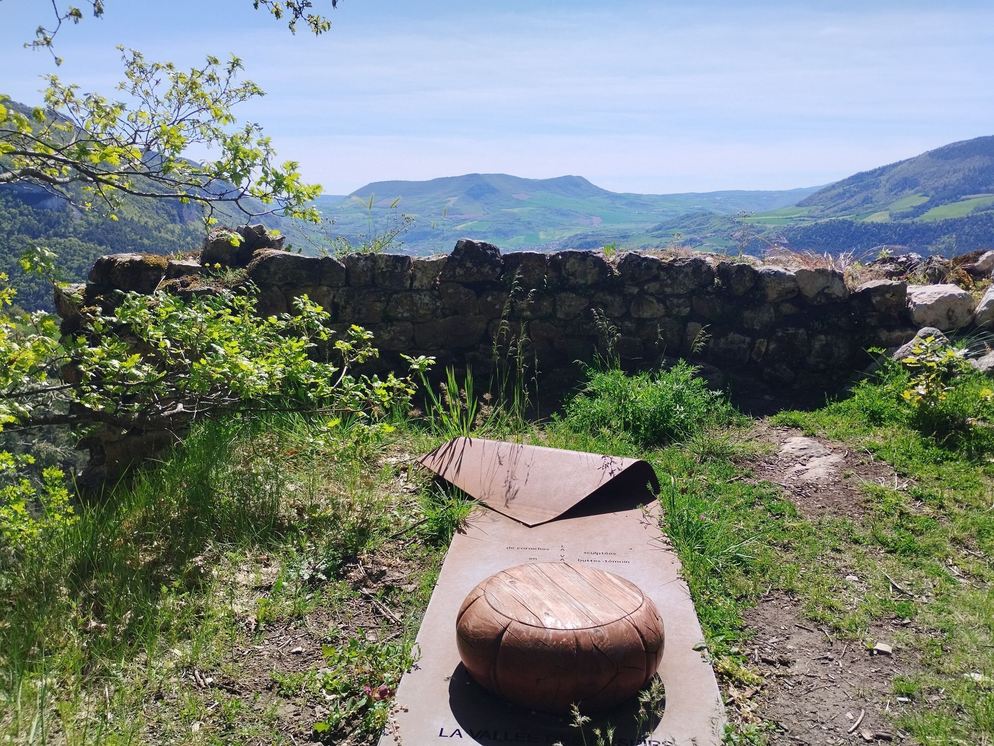
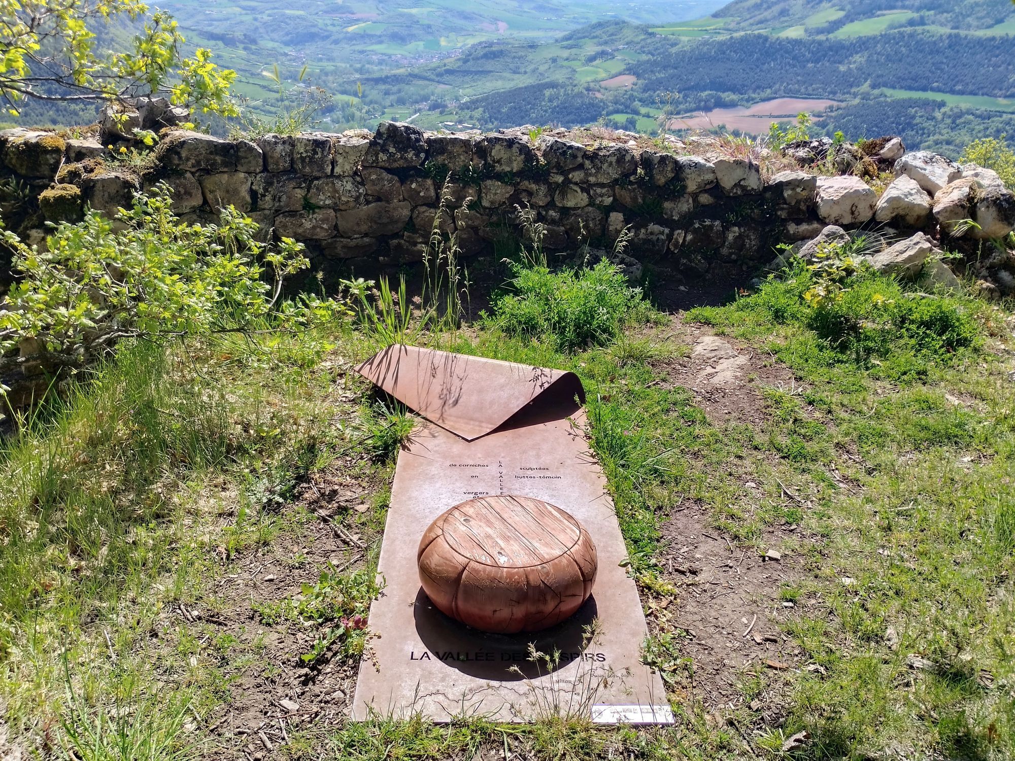
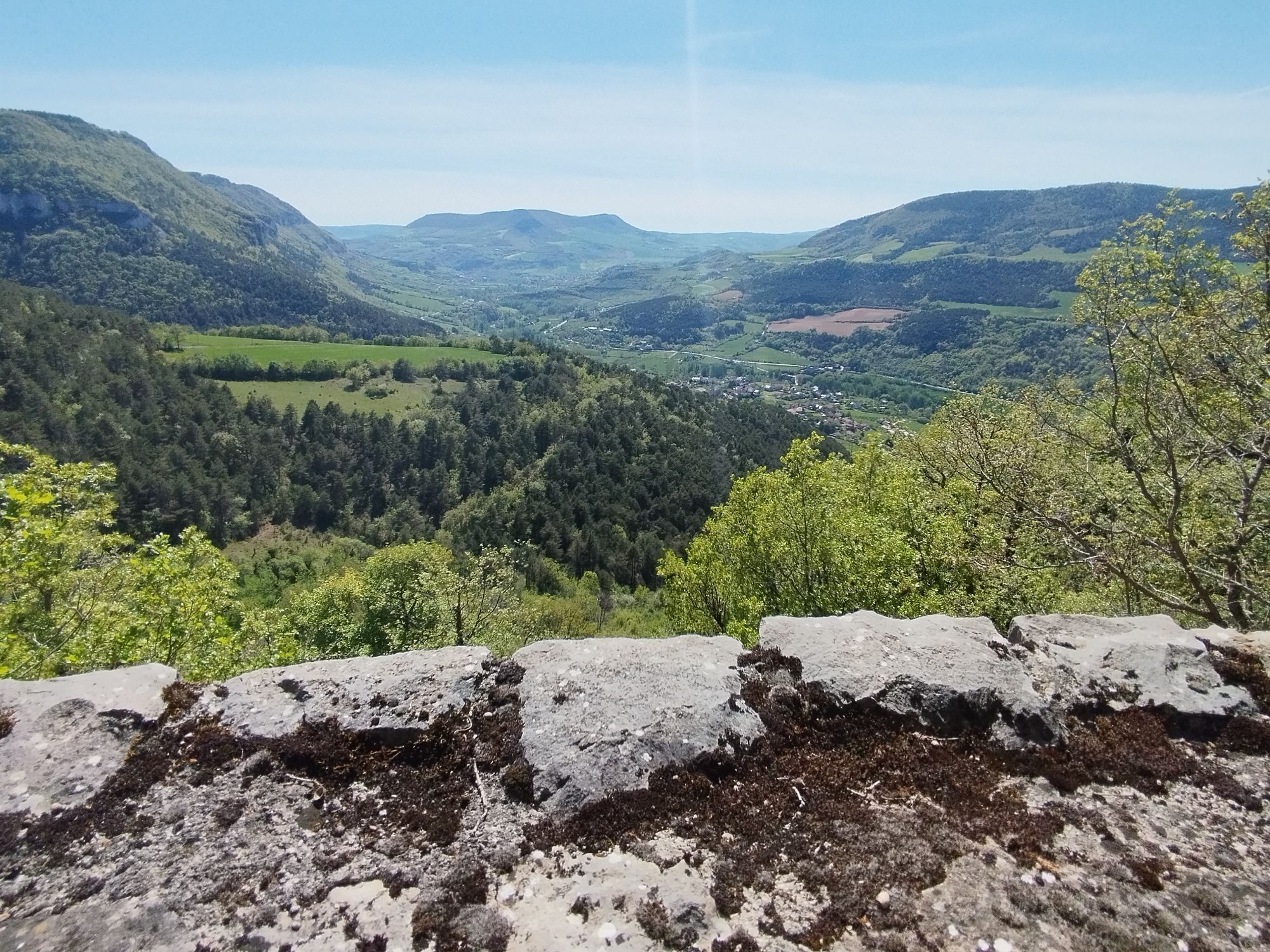

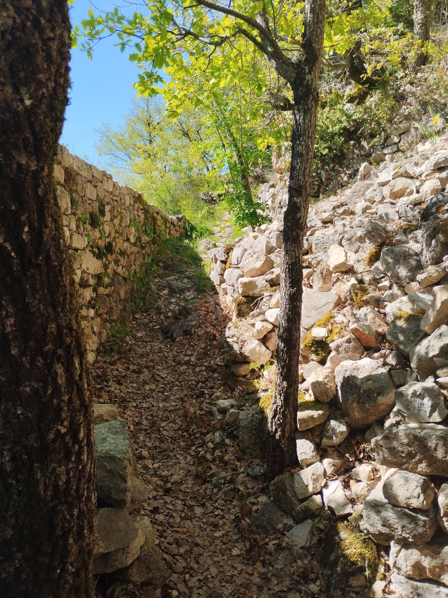
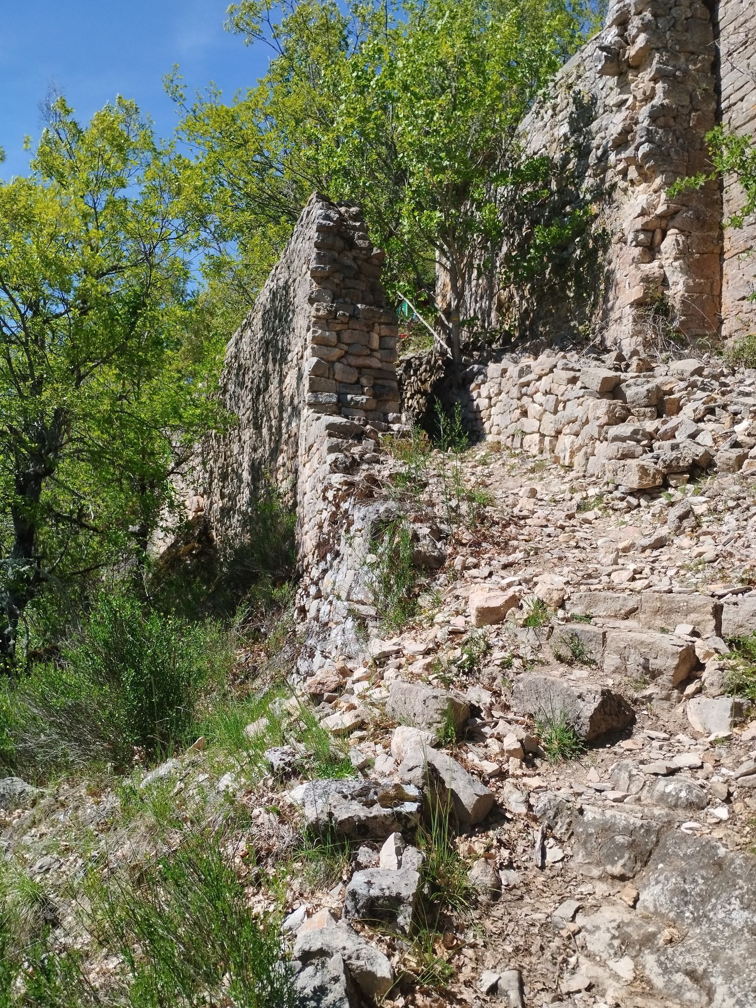
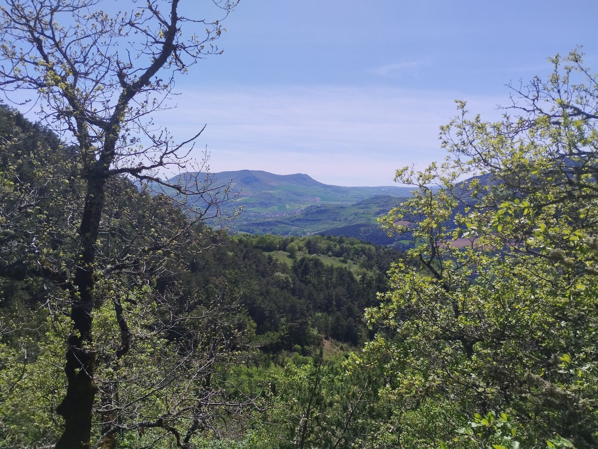
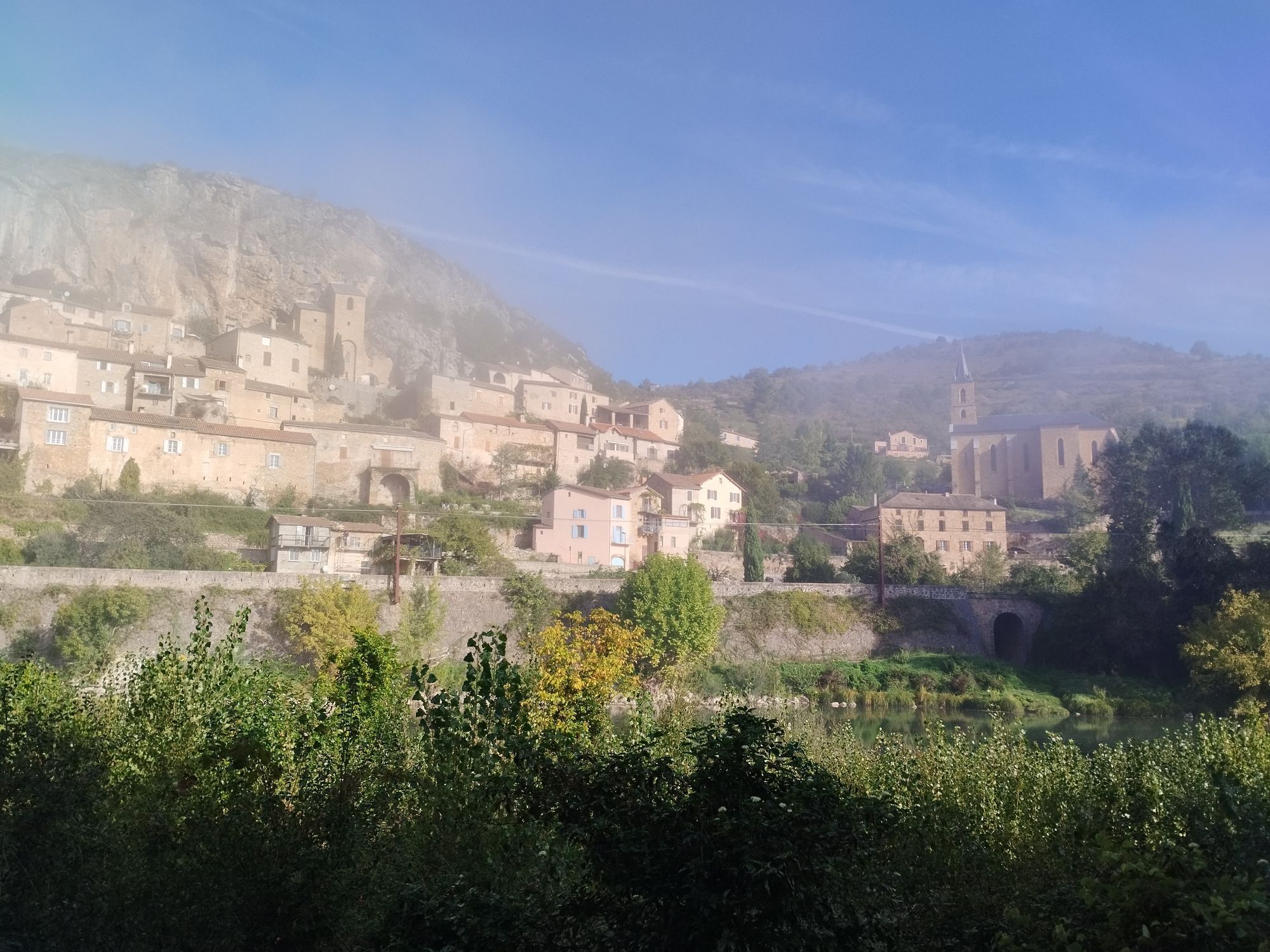
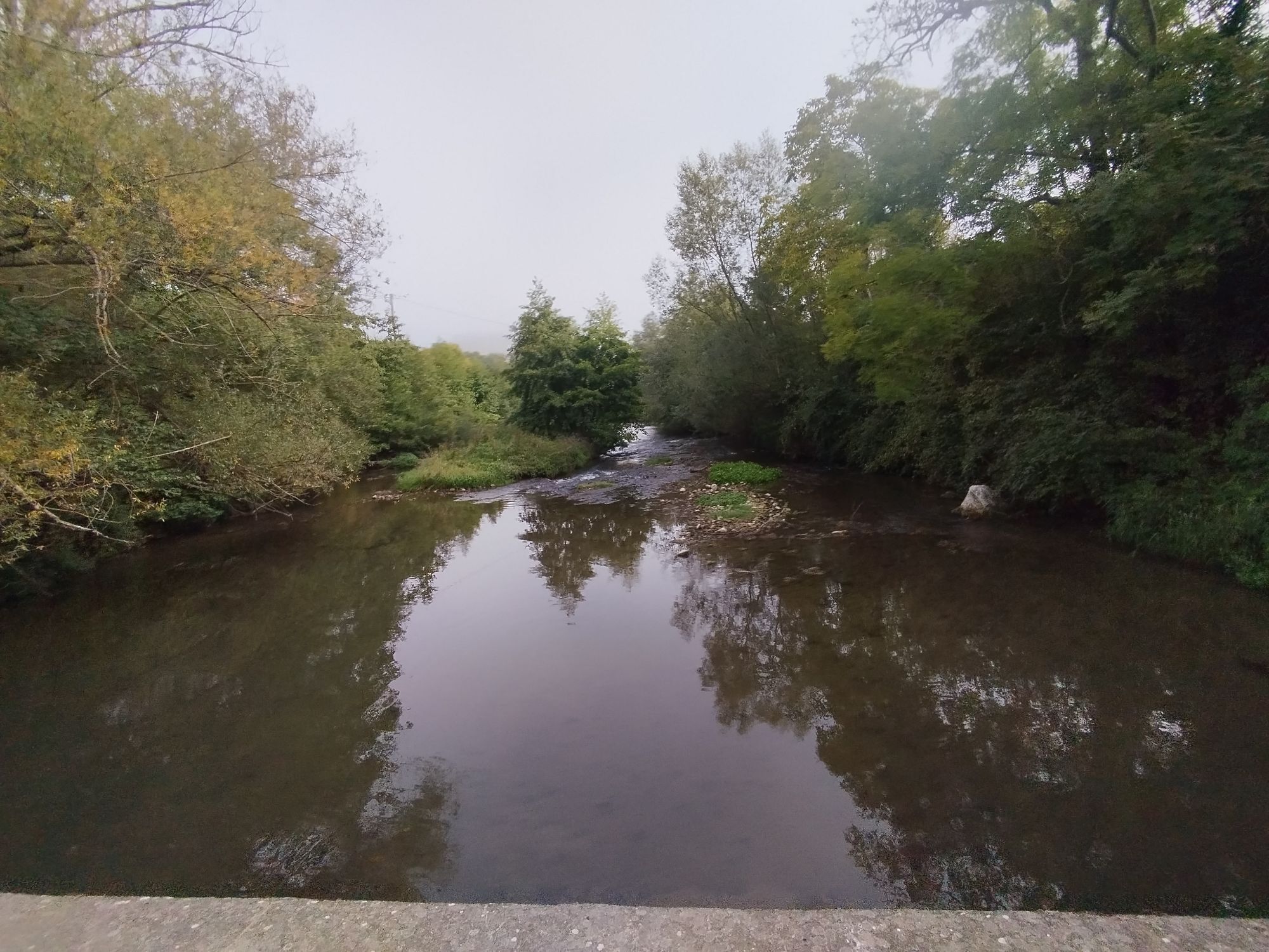
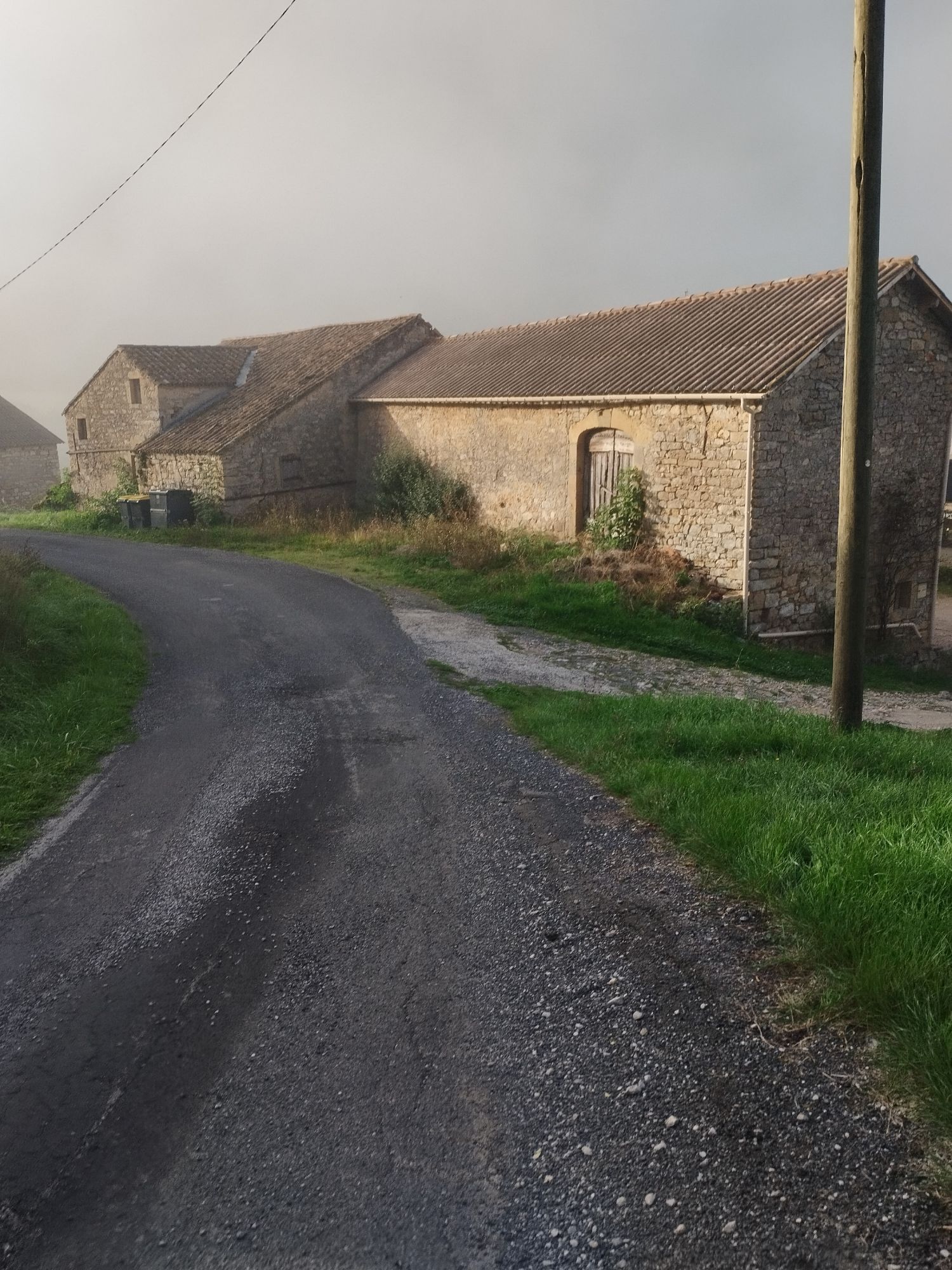
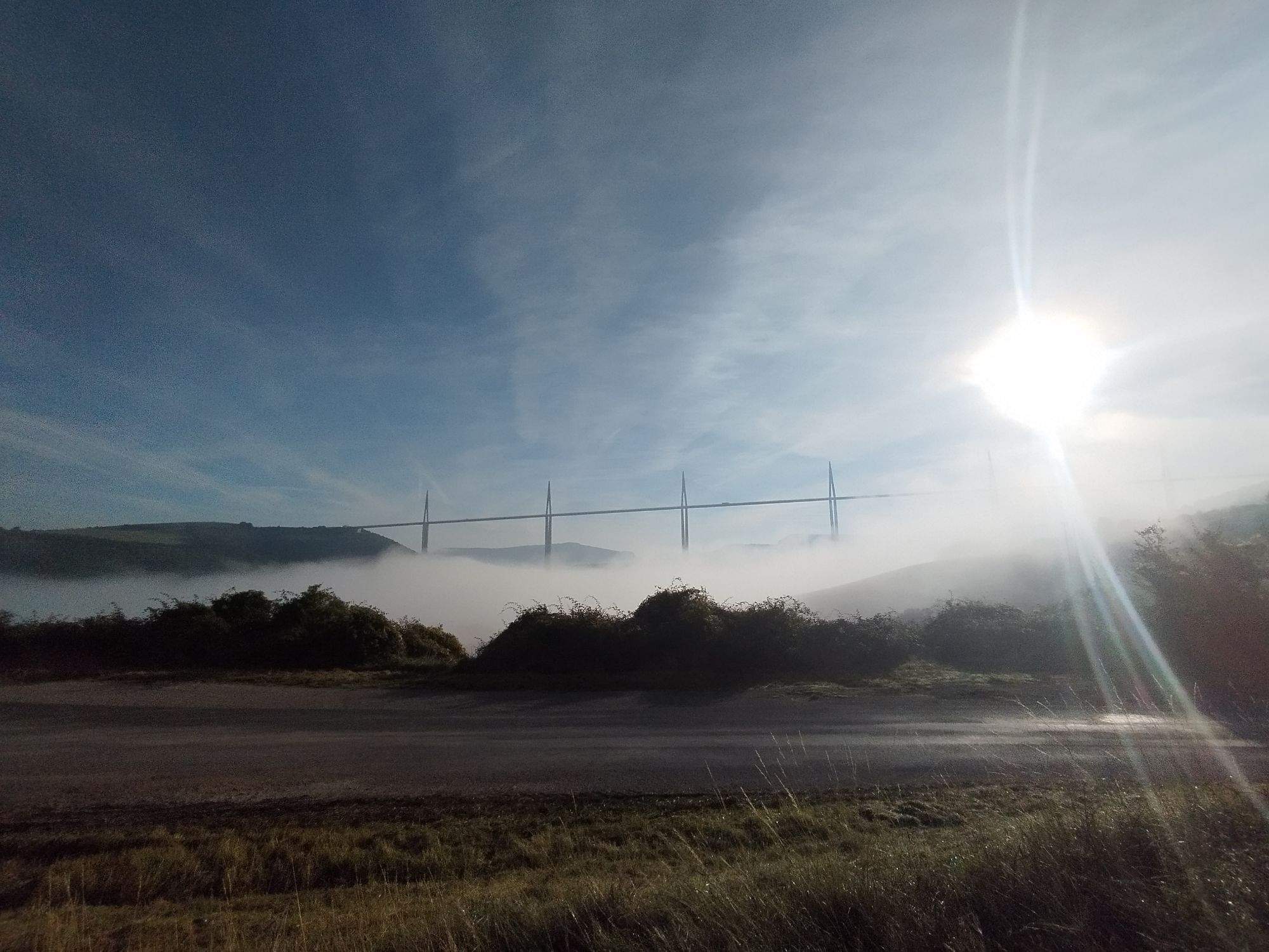
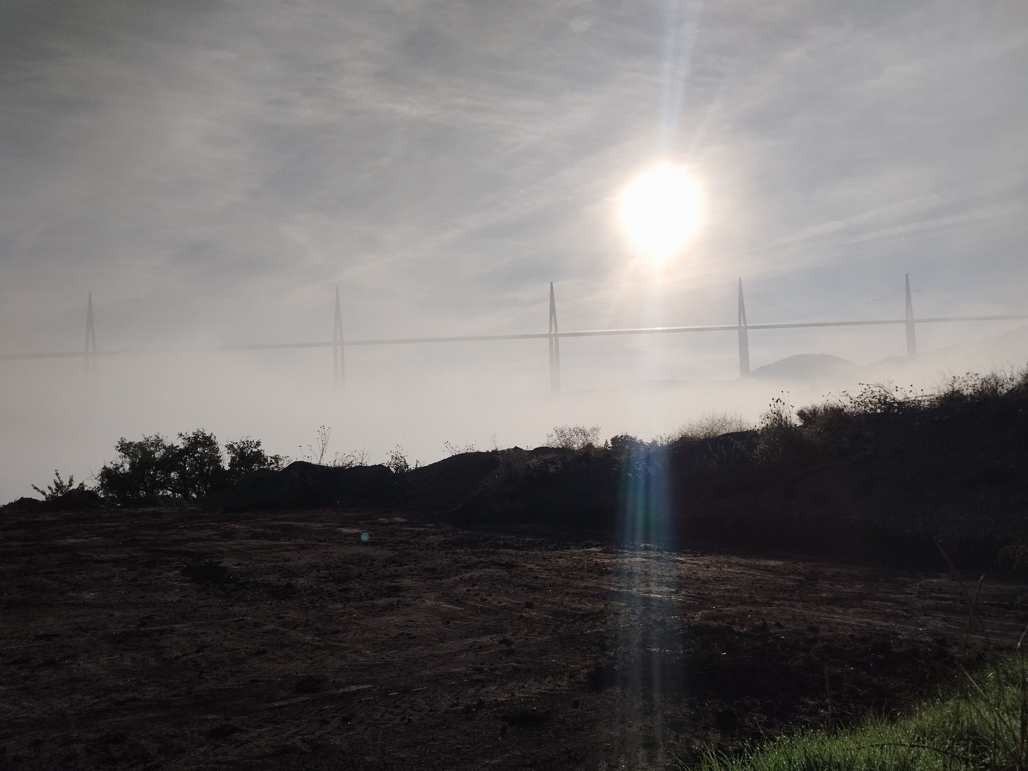
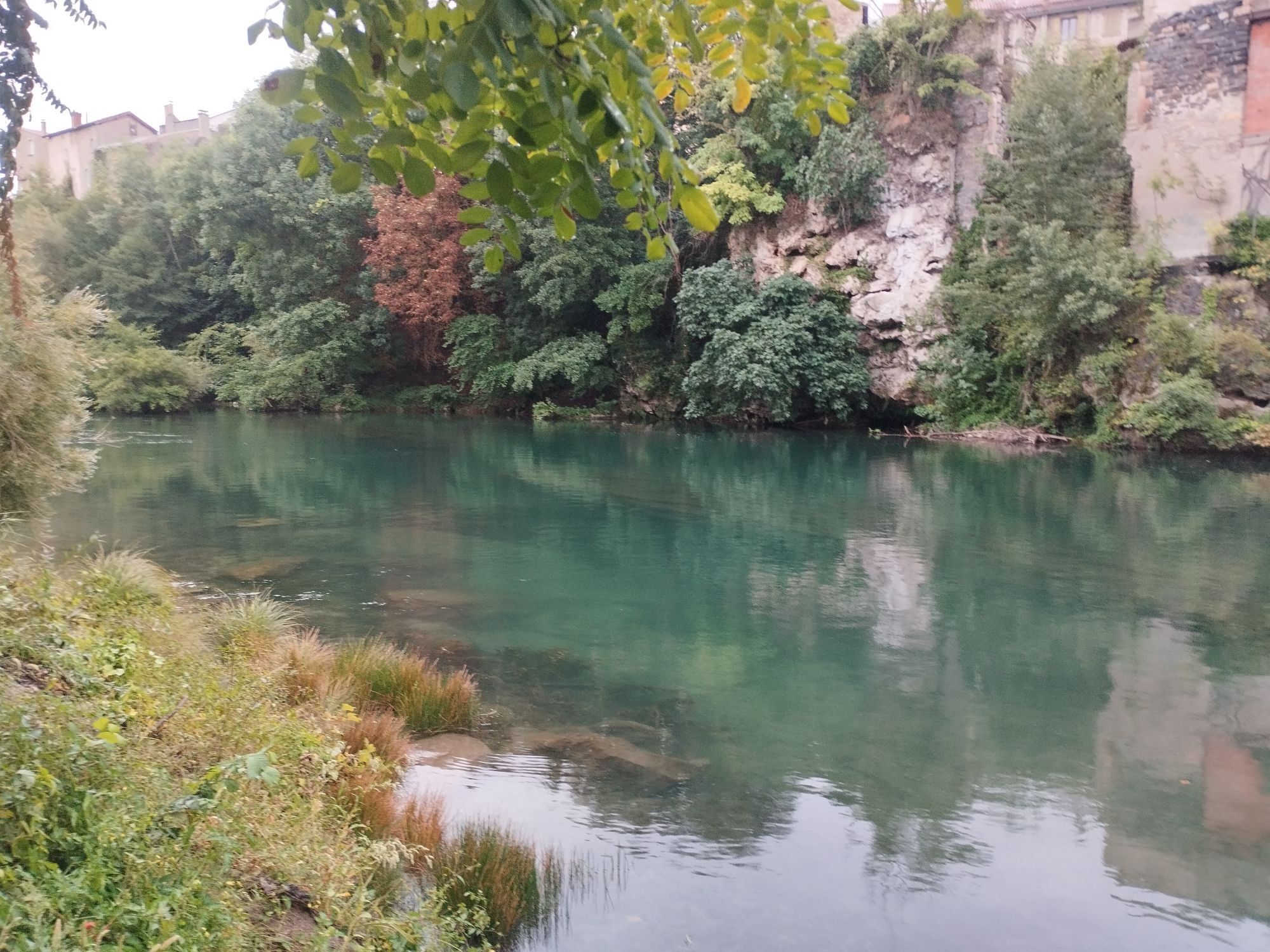
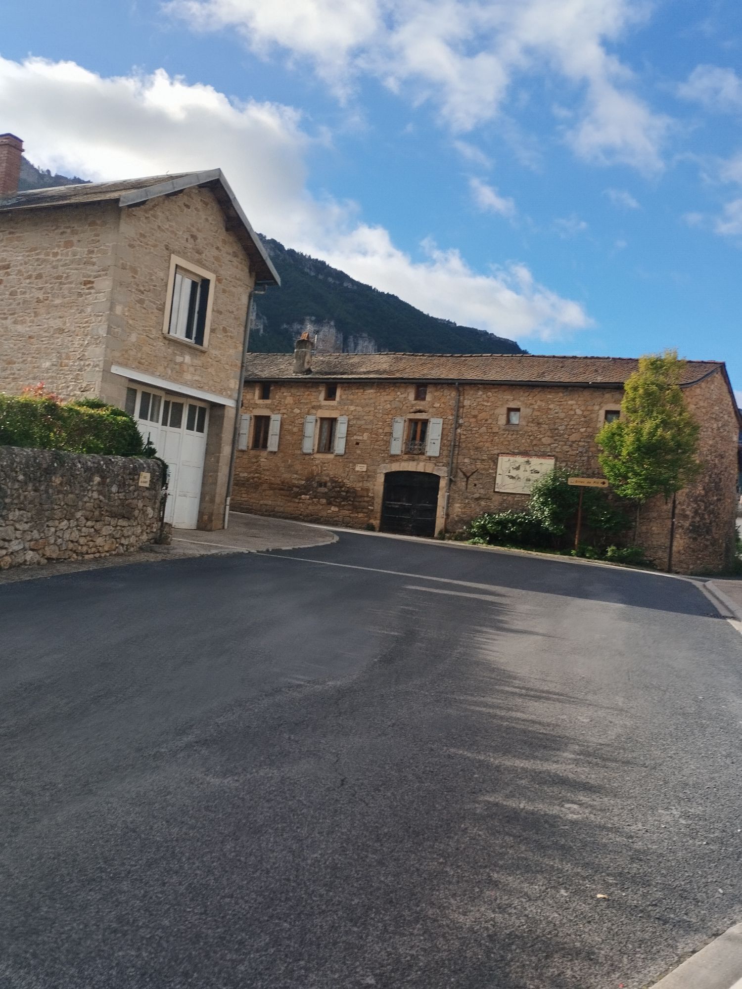


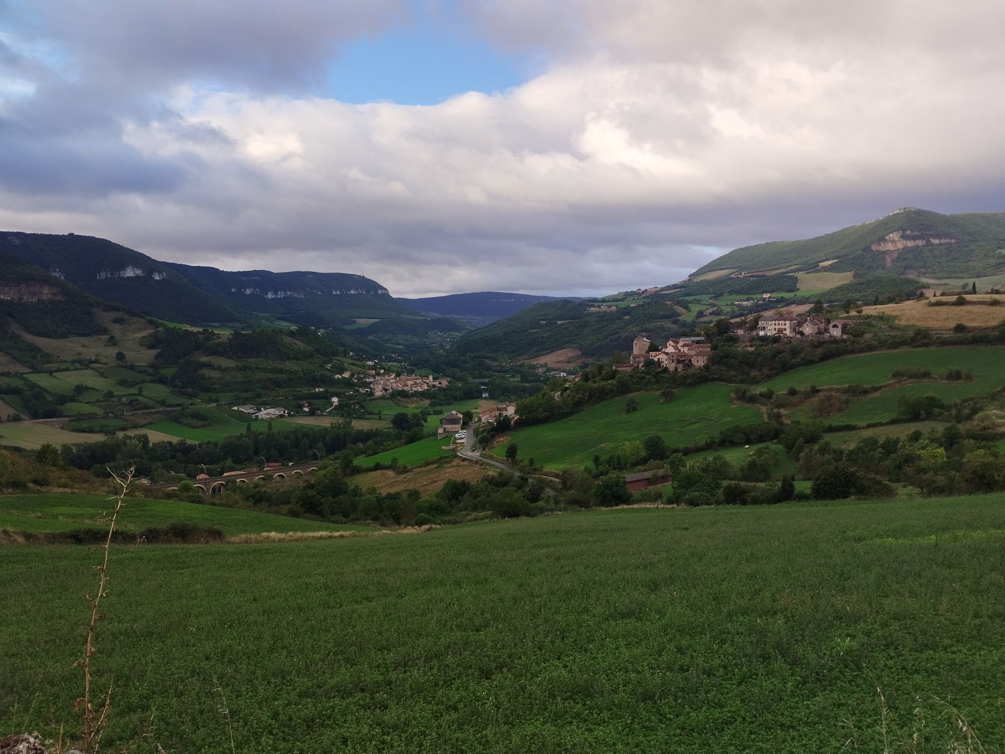
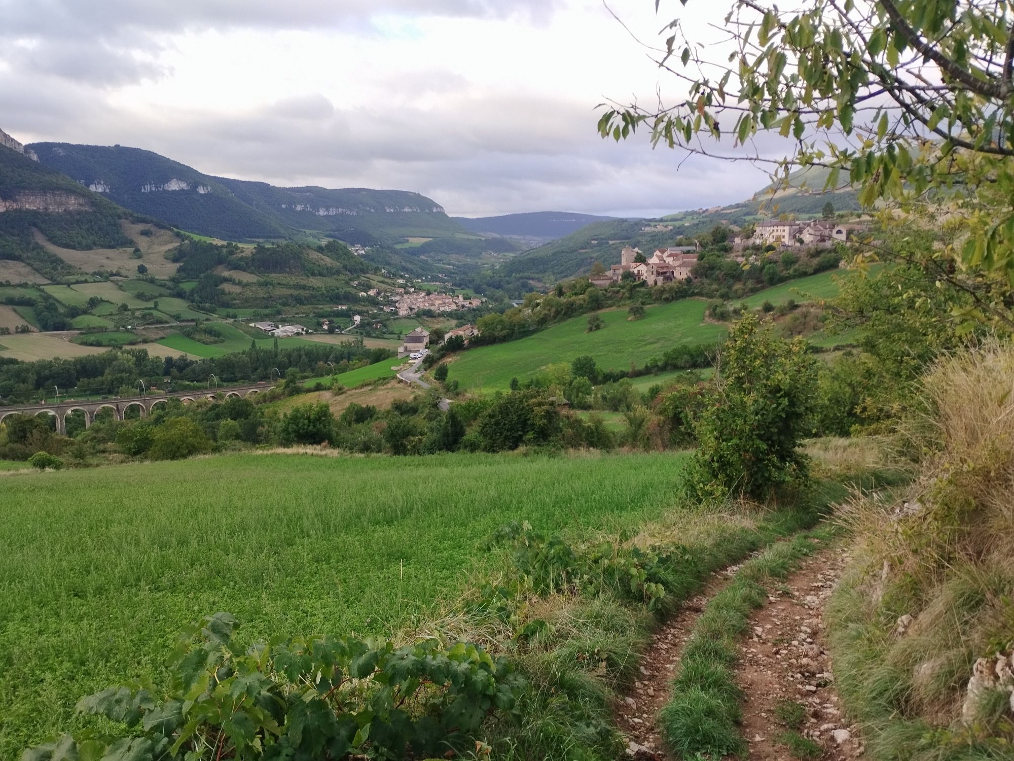

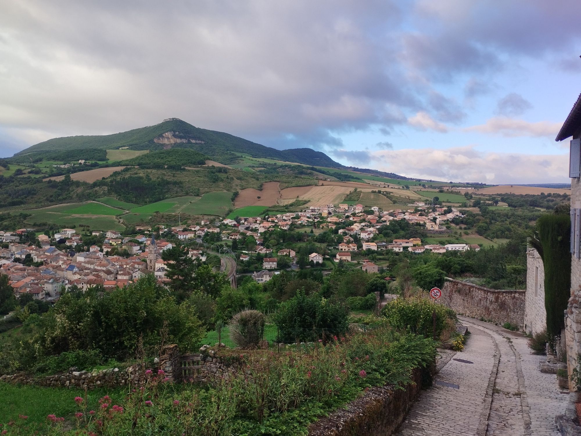
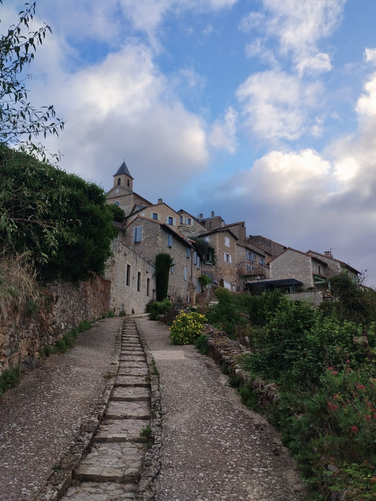


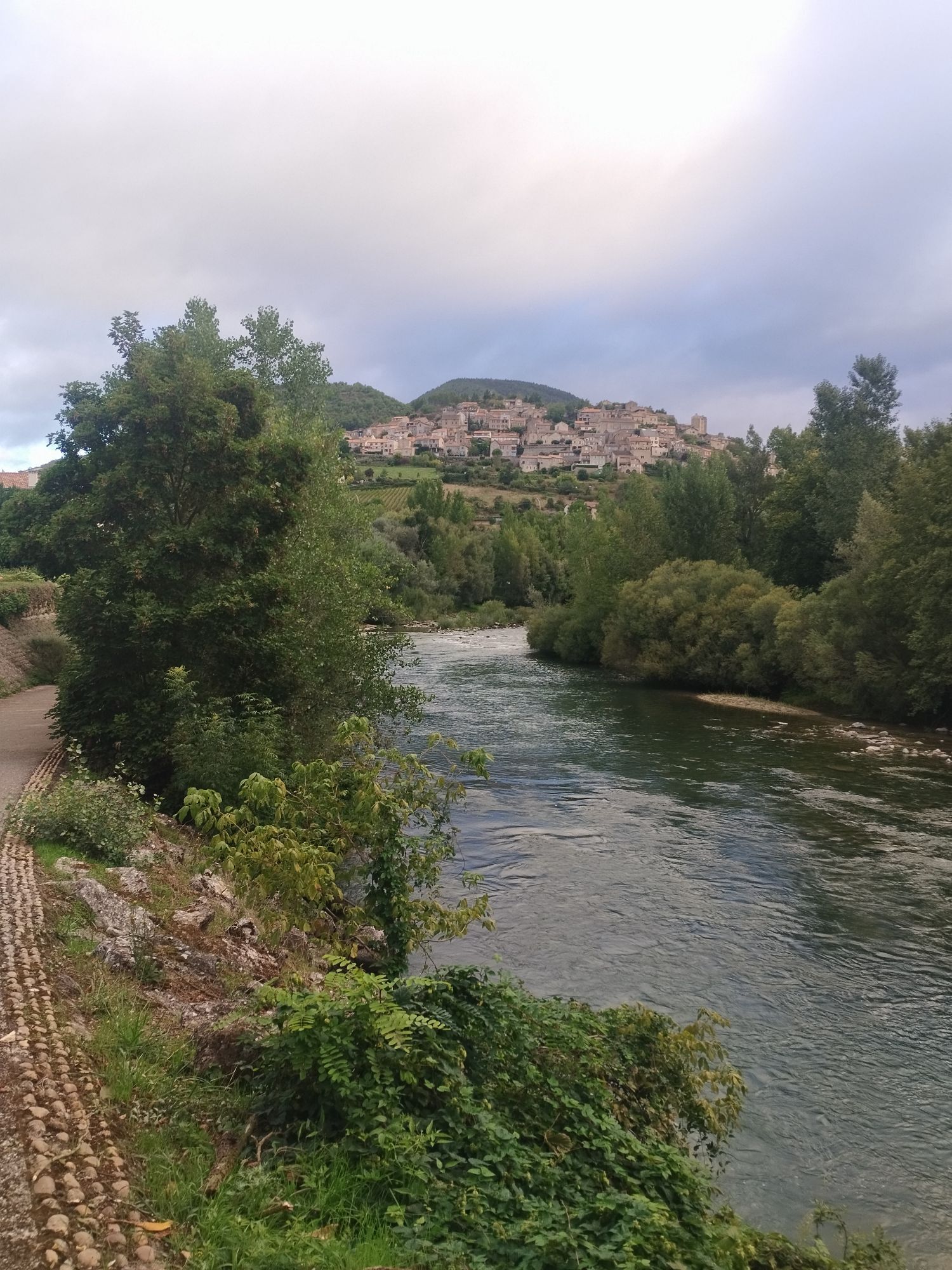
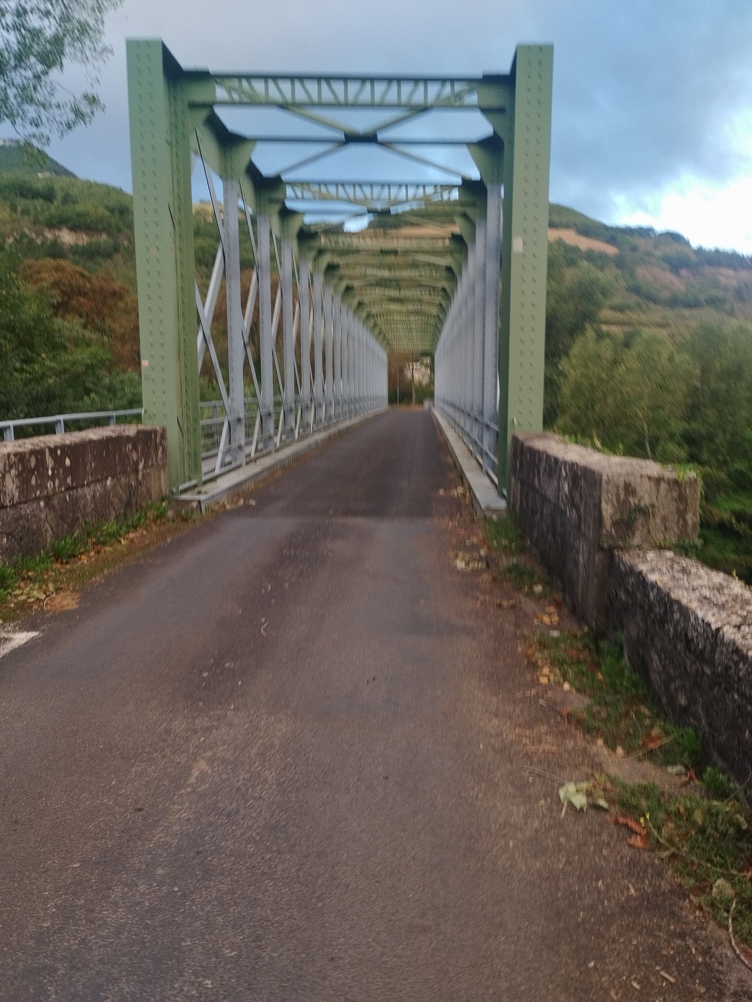
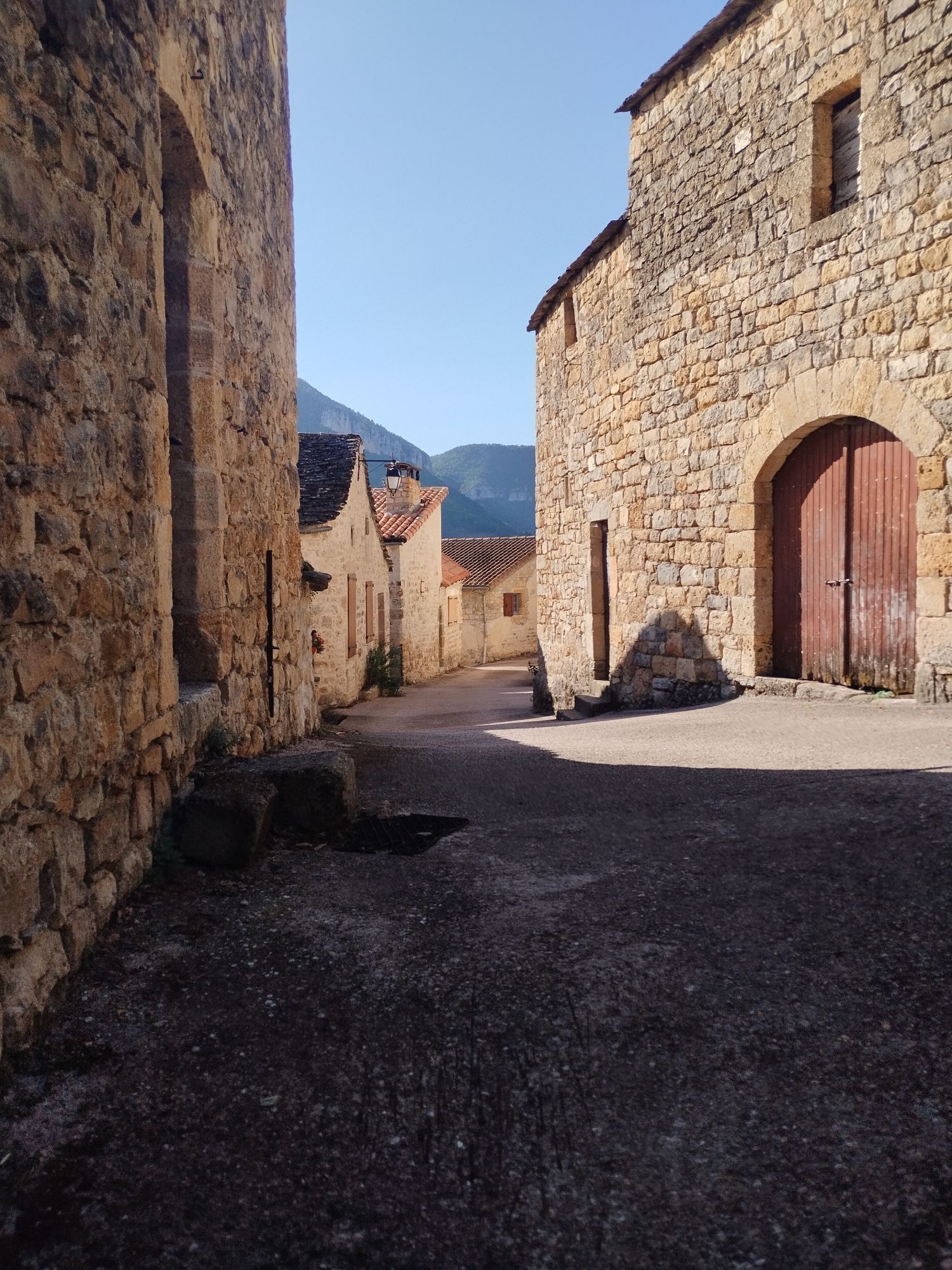
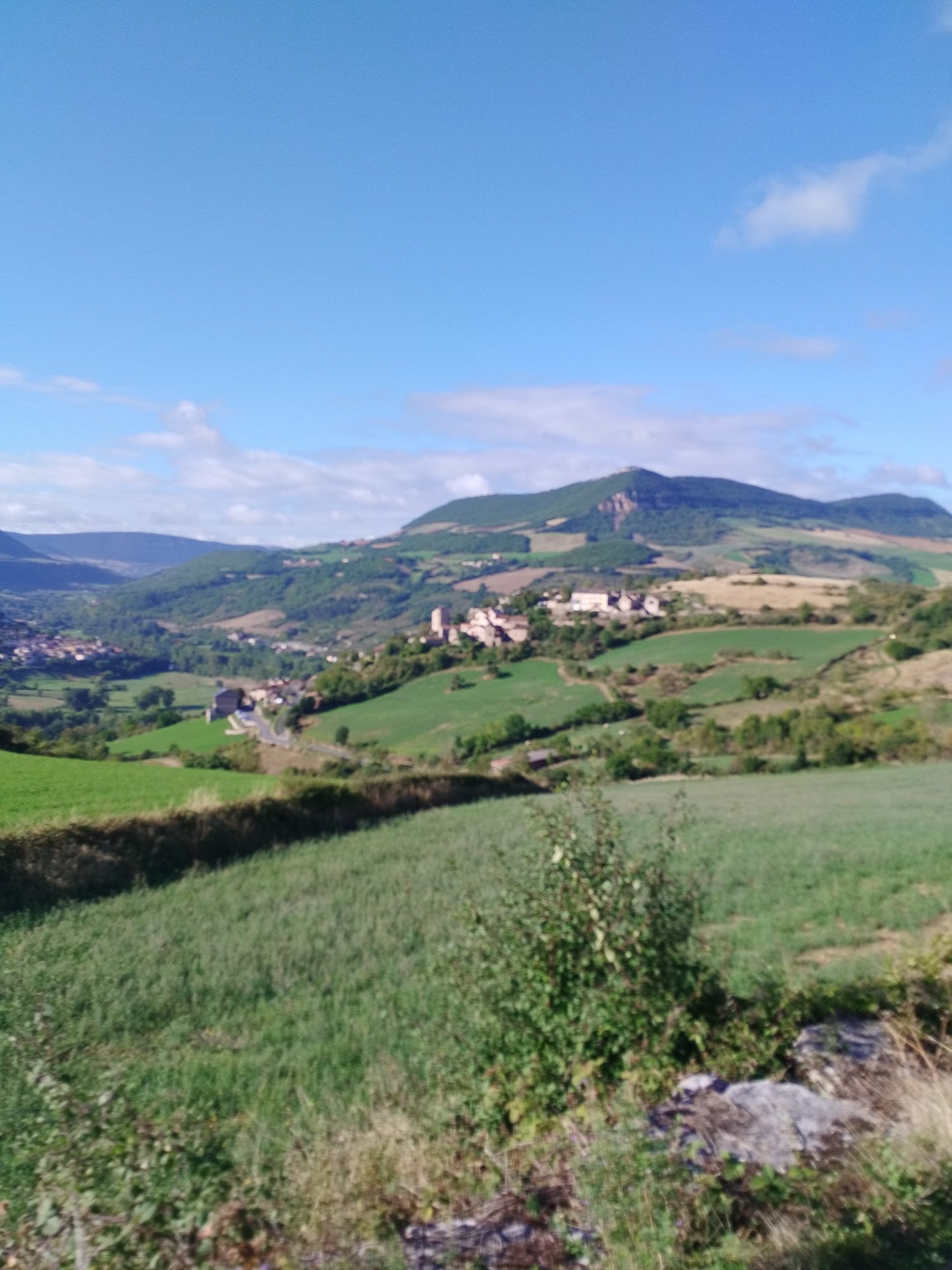
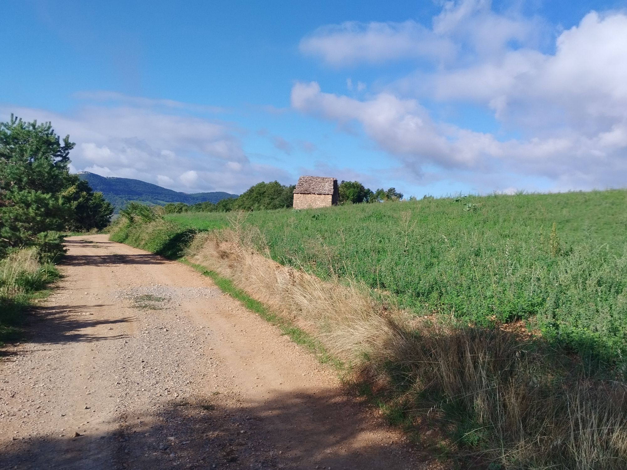
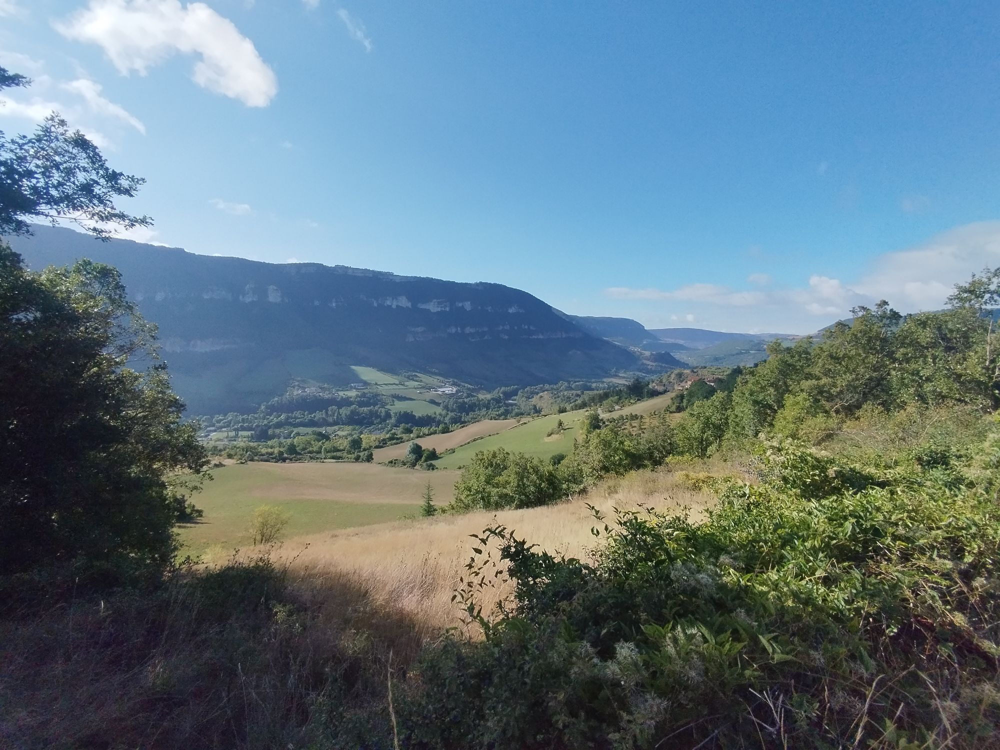
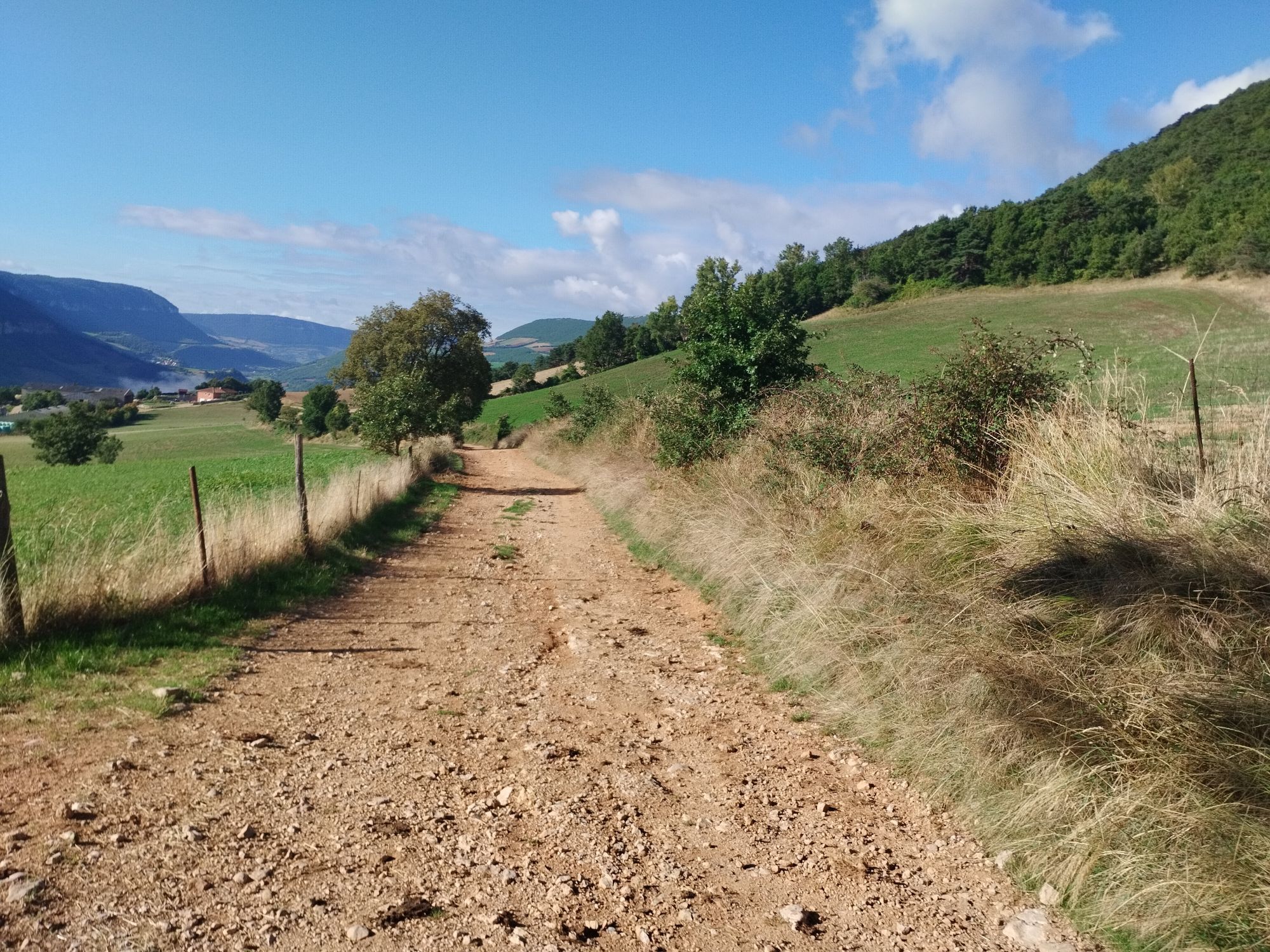

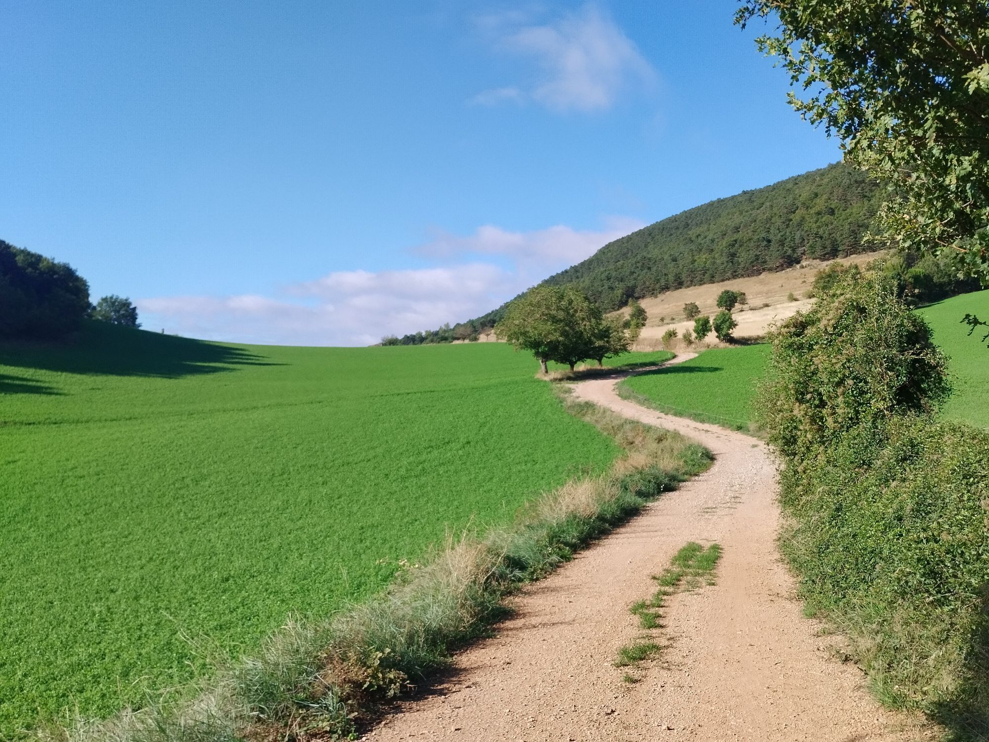
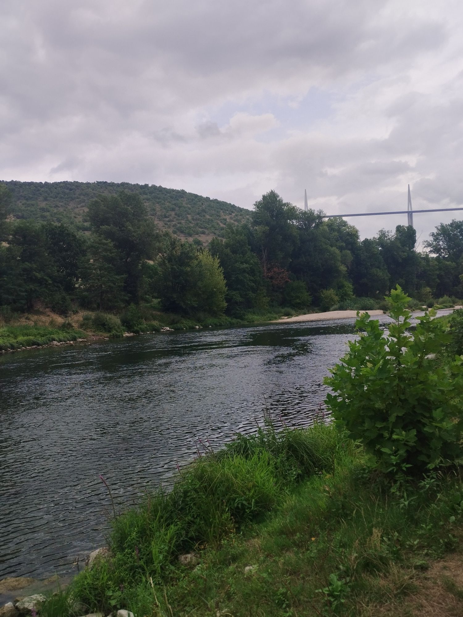
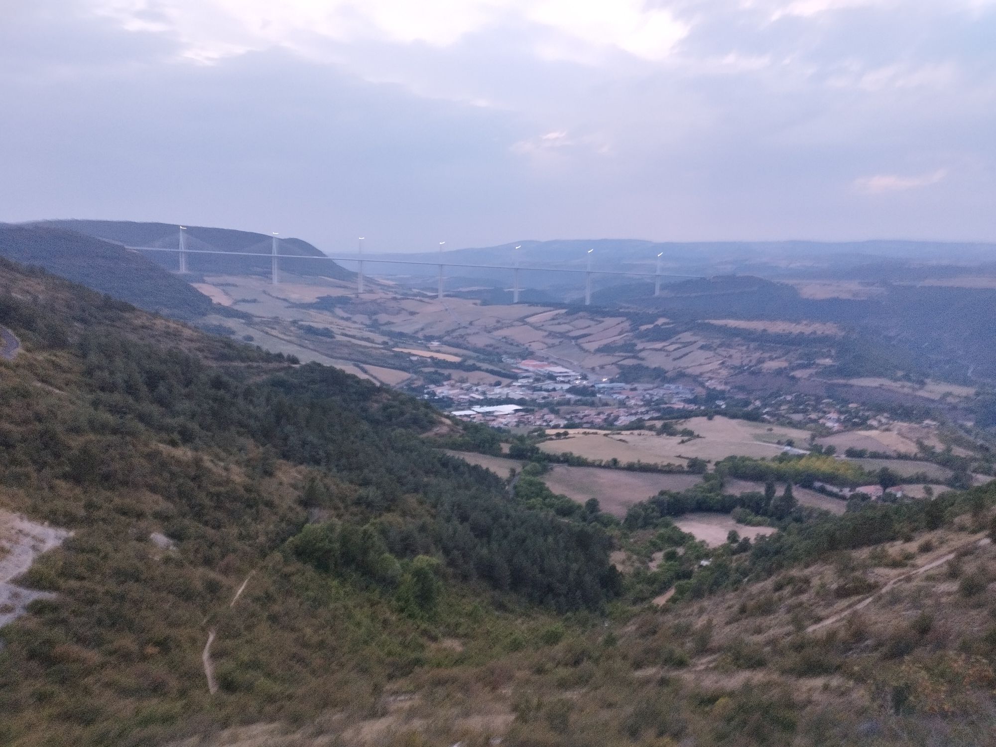
This trail invites the traveler to keep their eyes on the river, walking along its green banks, to swim during a break in its lively waters, and to admire the valley from breathtaking viewpoints.
Along...
Popis
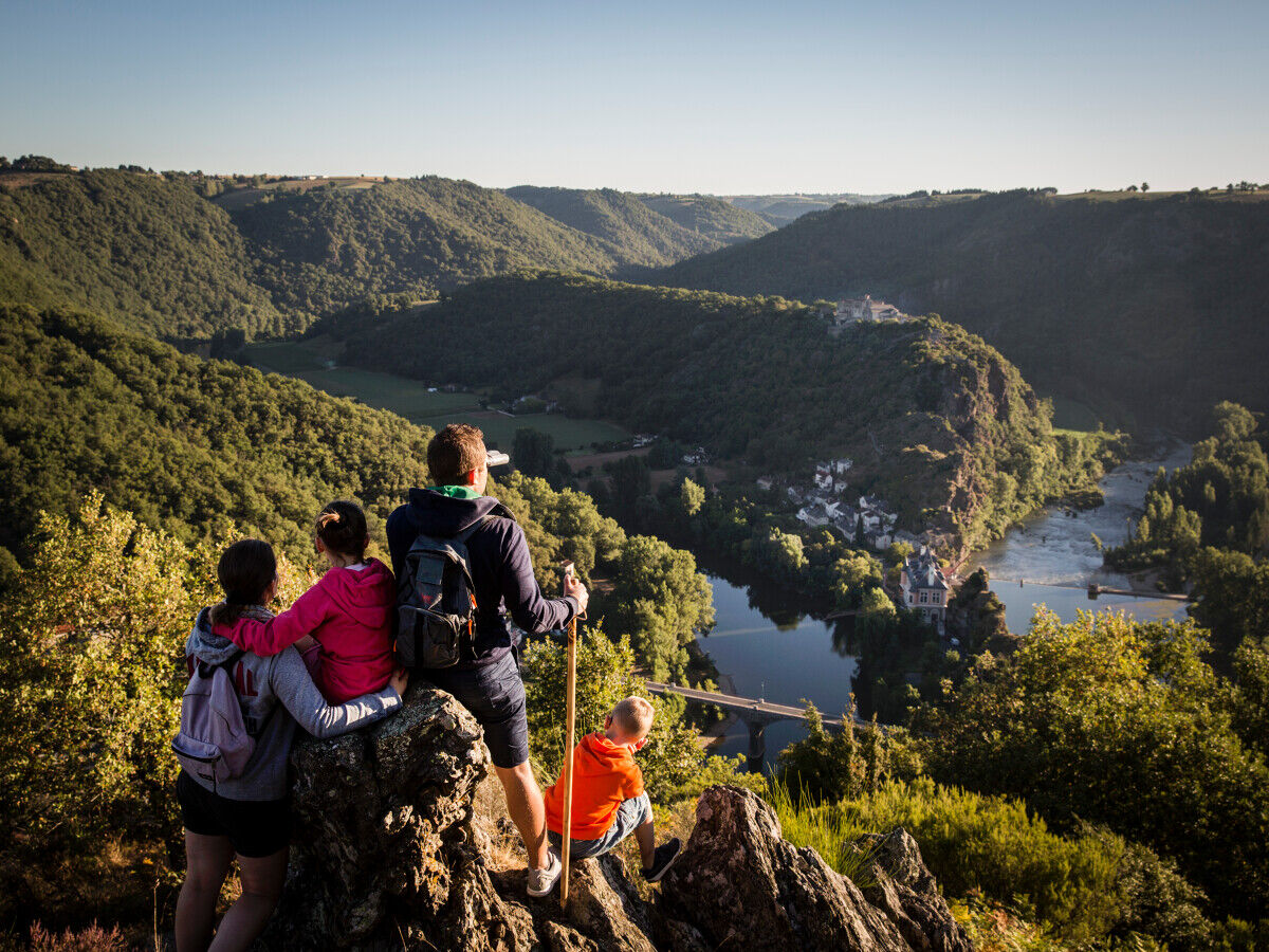
This trail invites the traveler to keep their eyes on the river, walking along its green banks, to swim during a break in its lively waters, and to admire the valley from breathtaking viewpoints.
Along the route, you will discover:
- Mont Lozère and the source of the Tarn.
- The classified site of the Gorges du Tarn, largely located in the Cévennes National Park.
- The rock with the granites of Mont Lozère, the limestones of the Causses, the schists of the Cévennes or the Ségala.
- The Grands Causses and their agro-pastoral landscapes listed as World Heritage Sites, the natural Cirques.
- The Raspes, its steep slopes downstream from Saint-Rome-de-Tarn to Pinet.
- The Ségala with its meanders, that of Ambialet, its meadows lined with tall poplars, and its chestnut trees.
- The Saut du Tarn in Saint-Juéry.
- Remains of castles, picturesque villages, Gallo-Roman heritage: Graufesenque, the Oppidum of Granède.
- Local products: charcuterie, Pélardon cheese, Roquefort, fruits of the Tarn Valley, AOC Côtes de Millau and AOC Gaillac...
- The Tarn Bridge, the Millau Viaduct, the Saut du Tarn museum.
- Cultural sites: the Millau Museum, the episcopal city of Albi, listed as a World Heritage Site, and its Cathedral, the Toulouse-Lautrec Museum.
Along the route, you will discover:
- Mont Lozère and the source of the Tarn.
- The classified site of the Gorges du Tarn, largely located in the Cévennes National Park.
- The rock with the granites of Mont Lozère, the limestones of the Causses, the schists of the Cévennes or the Ségala.
- The Grands Causses and their agro-pastoral landscapes listed as World Heritage Sites, the natural Cirques.
- The Raspes, its steep slopes downstream from Saint-Rome-de-Tarn to Pinet.
- The Ségala with its meanders, that of Ambialet, its meadows lined with tall poplars, and its chestnut trees.
- The Saut du Tarn in Saint-Juéry.
- Remains of castles, picturesque villages, Gallo-Roman heritage: Graufesenque, the Oppidum of Granède.
- Local products: charcuterie, Pélardon cheese, Roquefort, fruits of the Tarn Valley, AOC Côtes de Millau and AOC Gaillac...
- The Tarn Bridge, the Millau Viaduct, the Saut du Tarn museum.
- Cultural sites: the Millau Museum, the episcopal city of Albi, listed as a World Heritage Site, and its Cathedral, the Toulouse-Lautrec Museum.



Informace o trase
Geologické zajímavosti
Ano
Vhodné pro rodiny
Ano
Bezpečnostní pokyny
In case of emergency, dial 112
Informace o příjezdu
Příjezd
Consider carpooling
Veřejná doprava
Prefer public transportation for your travel
Další informace a tipy
Další informace
APIDAE Tourism data updated on 04/19/2023 by "Tarn Tourisme".
An error on this record? Write to the owner by referencing the following:
Record name: GR®736, Gorges et Vallée du Tarn | Record ID: 6484524 | URL (link) of this Outdooractive page.
Zatím žádné recenze
Oblíbené prohlídky v okolí
Seals X
středníTuristika 60.5 kmMillau - Église du Sacré-Cœur - Église Sainte-Marguerite-d'Antobe
středníMountainbike 45.7 kmÉglise Saint-Baudile - La Cressette - Le Vignal - La Cresse
středníTuristika 12.1 kmLa Cresse - La Cressette - Église Saint-Baudile - Le Vignal
středníTuristika 5.32 kmDU LARZAC A LA MEDITERRANEE A VTT SUR LA GTMC: MILLAU - LA COUVERTOIRADE
středníMountainbike 48.4 kmLe Cade
světloMountainbike 14.7 kmLa Bastide-Pradines - Grotte des Maquisards
světloTuristika 5.85 kmLapanouse-de-Cernon - Grotte des Maquisards
středníTuristika 12.4 kmCreissels - Cap de Coste - Fontaine de Cornebiau
Turistika 8.56 kmLa Cavalerie - Mas de Rapine - Moulin A Vent - Gringaud
světloTuristika 6.53 km

Pěší turistika a stopování

Více než 550.000 návrhů výletů, podrobné mapy a intuitivní plánovač tras dělají z aplikace nezbytnou výbavu pro všechny milovníky přírody.

Nenechte si ujít nabídky a inspiraci pro vaši příští dovolenou
Přihlaste se k odběru newsletteru
Chyba
Došlo k chybě. Zkuste to prosím znovu.Děkujeme za vaši registraci
Vaše e-mailová adresa byl přidán do poštovního seznamu.
Zájezdy po celé Evropě
Rakousko Švýcarsko Německo Itálie Slovenia Francie Nizozemsko Belgie Polsko Lichtenštejnsko Česko Slovensko Španělsko Chorvatsko Bosna a Hercegovina Lucembursko Andorra Portugal Iceland United Kingdom Ireland Greece Albania North Macedonia Malta Norway Montenegro Moldova Kosovo Hungary San Marino Romania Estonia Latvia Belarus Cyprus Lithuania Serbia Bulgaria Monaco Denmark Sweden Finland





