





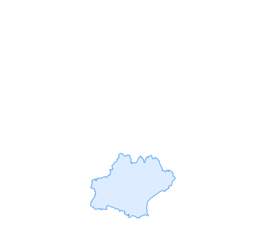

The star route
Úroveň obtížnosti: 4
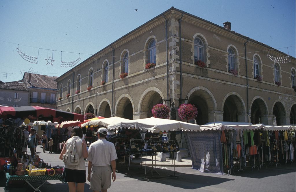
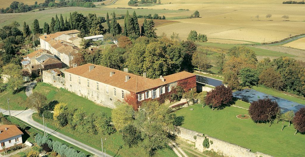
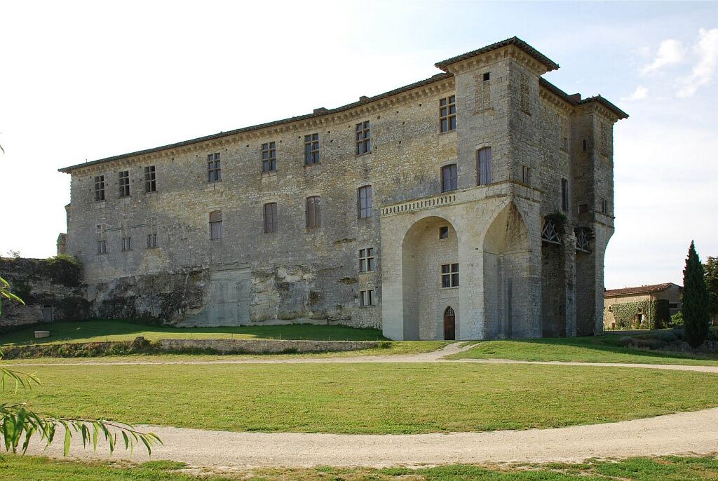
After the Hameau des Etoiles, the Château de Lavardens reveals itself in all its splendour, perched on its rocky spur. Inside, you will notice its Mozarabic tiles, unique in France.
Soon after, the thermal...
After the Hameau des Etoiles, the Château de Lavardens reveals itself in all its splendour, perched on its rocky spur. Inside, you will notice its Mozarabic tiles, unique in France.
Soon after, the thermal establishment of Castéra-Verduzan, whose sulfurous and ferruginous springs seem to have been known by the Romans, invites you to a small wellness session before appreciating the arrival at Saint-Puy, near the birthplace of Blaise de Monluc, Marshal of France.
The Château de Monluc, cradle of the pousse-rapière, will introduce you to this specialty and perhaps the secret of its manufacture...


Before leaving:
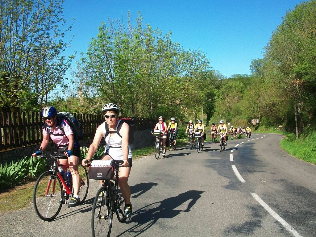
Ensure the perfect mechanical condition of the bike, including tires and brakes Make sure the bike is properly adjusted to your body shape Wearing a helmet is strongly recommended Take repair tools with you Remember that the traffic code applies to cyclists at all times Never ride more than two abreast and keep to a single file when traffic conditions require it Respect other users as you would like them to respect you Choose a route suitable for your physical abilities Inform those close to you of your itinerary Check the weather conditions A first aid kit is not essential but can be very useful Know and keep emergency contact numbers Respect the environment by not throwing food wrappers on the roadside If you have to return at dusk, make sure you can see and be seenEmergency number: 112
RN 21 from Auch
Bus line no. 932
Free parking near the starting point
4
Gascogne Lomagne Tourist Office,
Place du Général de Gaulle
32700 Lectoure
Tel: +33 (0)5 62 64 00 00
Oblíbené prohlídky v okolí
-
Vélo Pour Tous à Fleurance
světloJízda na kole 14.3 km -
Fleurance - Moulin du Roy
světloMountainbike 9.76 km -
Fleurance - Sur les traces des remparts
světloMountainbike 15.8 km -
The Countryside of La Romieu
světloMountainbike 15.7 km -
Montestruc - Un peu plus près des étoiles
světloMountainbike 12.0 km -
A Lestanque - Église Saint-Jean-Baptiste - Castillon-Massas - Roquelaure
středníŠotolinové kolo 22.9 km -
Église Notre-Dame-des-Pommiers - Église Saint-Laurent - Église Saint-Loup - Beaucaire
středníMountainbike 37.3 km -
Quartier du Campardiné - Chapelle - Église Saint-Martin - Église du Saint-Esprit
středníSilniční kolo 69.9 km -
Condom - Beausoleil - Chapelle Sainte-Marie-Madeleine - Saint-Jean-Poutge
heavyJízda na kole 42.6 km -
Beaucaire - Bidalet - Au Régé - Église Saint-Michel
heavyMountainbike 48.2 km
Pěší turistika a stopování


Nenechte si ujít nabídky a inspiraci pro vaši příští dovolenou
Vaše e-mailová adresa byl přidán do poštovního seznamu.





