







OENOVELO 1 BIS - FROM SAINT-CHINIAN TO THE CANAL DU MIDI DEPARTING FROM MAGALAS STATION

Úroveň obtížnosti: 2
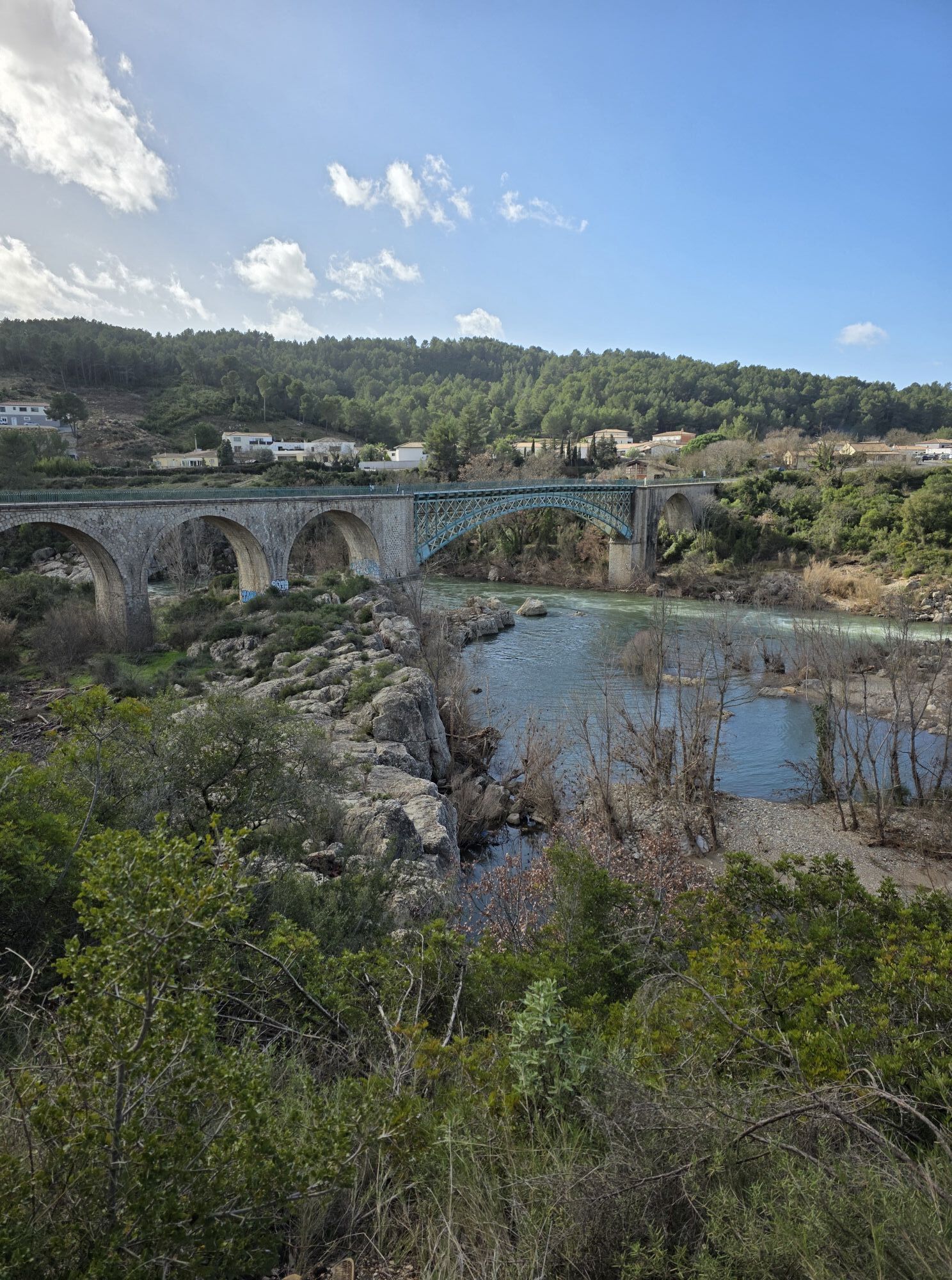
Set off to discover the villages of this area, where viticulture is predominant. Whether you venture on greenways or on low-traffic roads, you have the opportunity to admire the plains and hills planted...
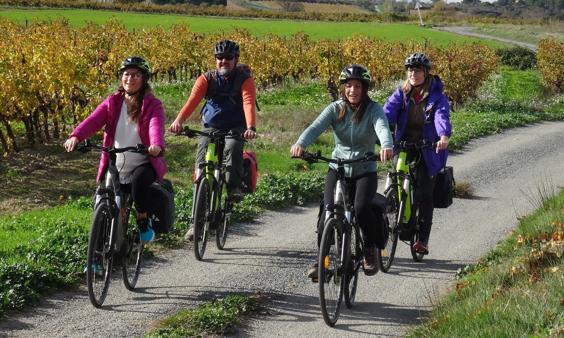
Set off to discover the villages of this area, where viticulture is predominant. Whether you venture on greenways or on low-traffic roads, you have the opportunity to admire the plains and hills planted with vines or the preserved banks of the Canal du Midi. Take time to taste the local gastronomy and sample the renowned wines (in moderation) of this region, around a winding road. Whether a romantic ride as a couple or an adventure with friends, live an unforgettable experience at the heart of nature and history.






1
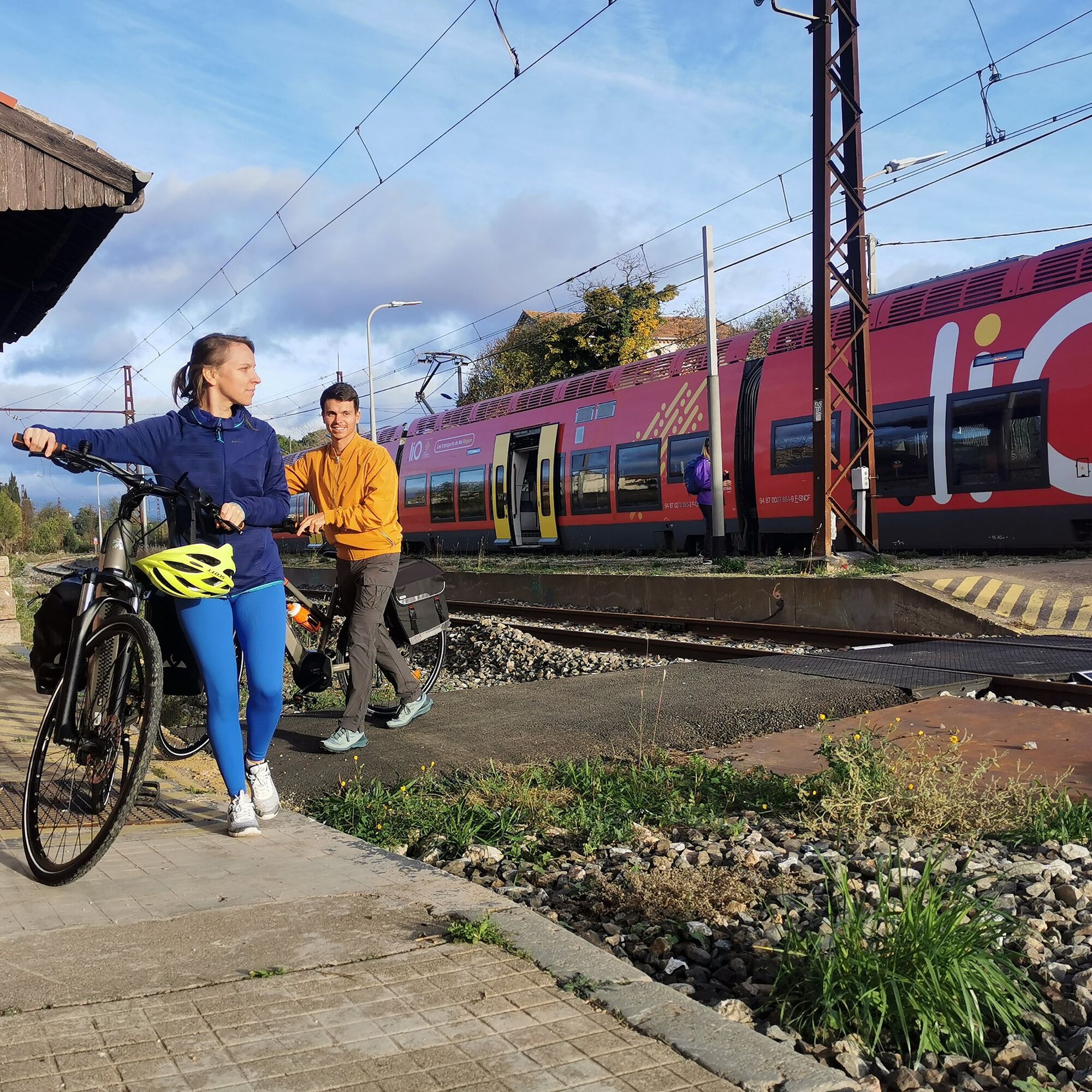
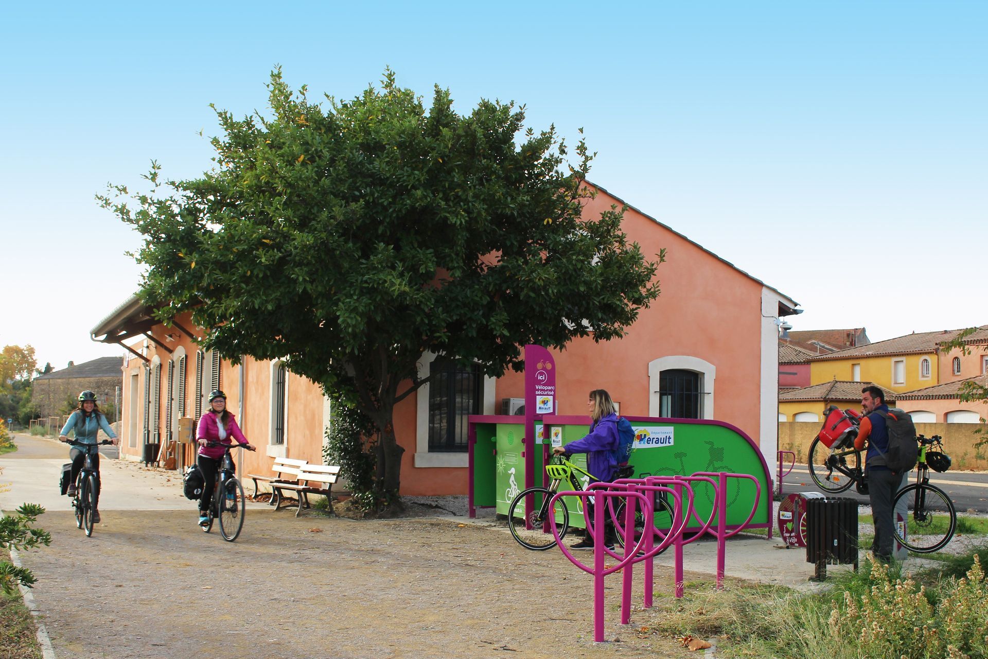
Leaving Magalas station, you cross this village perched on its hill then head towards the medieval circular village of Puimisson to reach the outdoor base of Réals. Along your route or very close by, you can stop at the Montalaurou chapel surrounded by umbrella pines in Pailhès and at Murviel-les-Béziers, before crossing the Orb river.
2
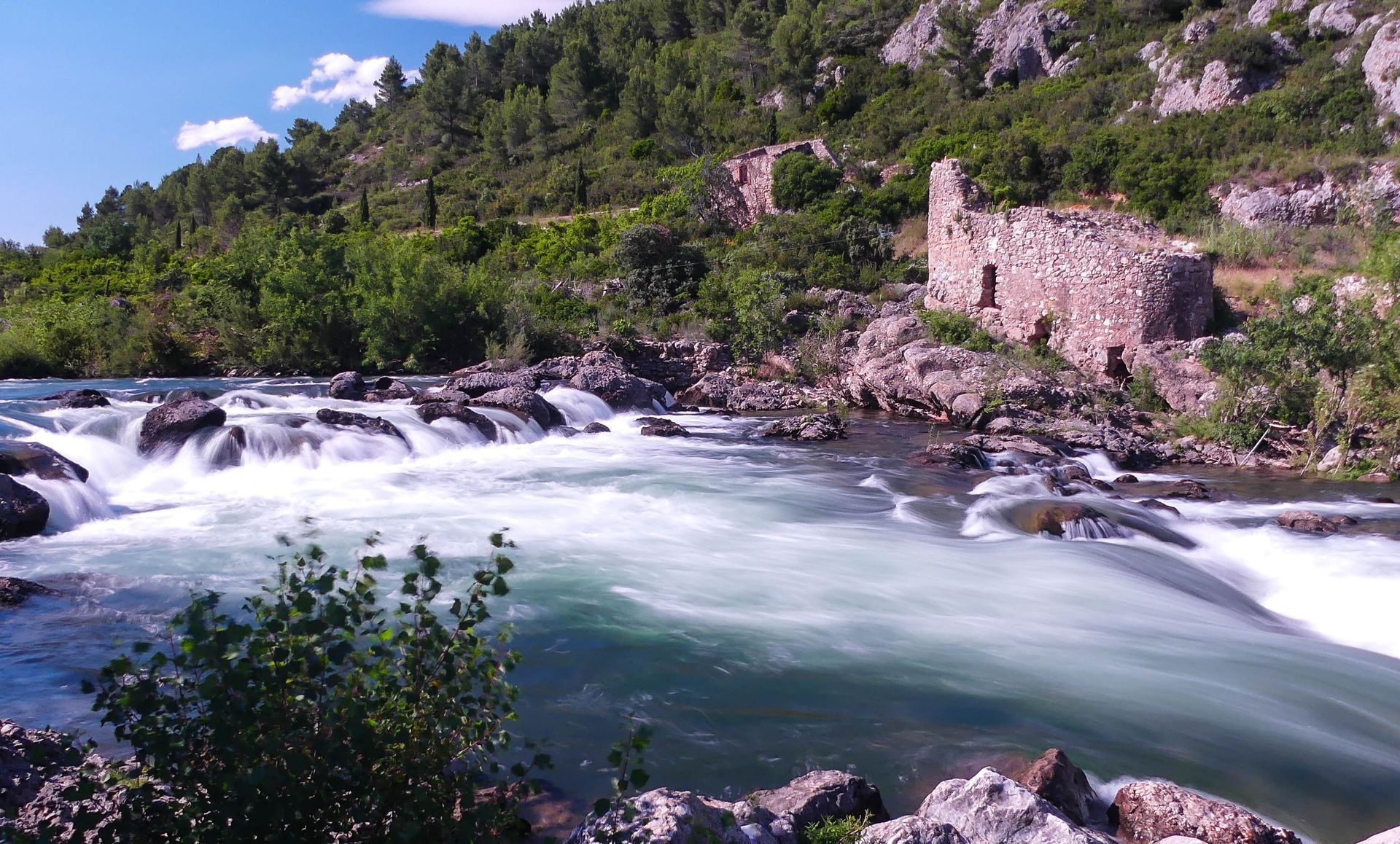
Facing a magnificent natural setting, the Réals base on your right is the ideal place for a picnic, to relax or rent a canoe. You must also admire this famous dolomitic chaos where the rock forms narrow gorges. To continue the route, take the bike path south, pass through a tunnel, follow along the Orb, then ride along the vineyards towards Cazouls-lès-Béziers.
3
Arriving at Cazouls (where you will find a bike stop), you will pass in front of the old station then stop at the winemakers' cellar of Pays d’Ensérune before riding another 3 km through the vineyards. At the (temporary) end of this greenway section, turn right to go down to Maureilhan.
4
Once over the Lirou (a tributary of the Orb), set off to discover Maureilhan through the alleys of its historic center. You will notice the medieval castle flanked by a quadrangular enclosure, the church a little further on as well as the typical winemaker houses of the region. Cross the main road passing through Maureilhan, then continue towards Montady.
5
After the cemetery, turn right and take a small road that bypasses the peculiar dried-up Étang de Montady. Reach the banks of the Canal du Midi then cross the bridge that leads to the village of Colombiers.
6
Enjoy the pretty alleys and discover a surprising heritage. It is strongly recommended to go to the river port on the Canal du Midi to visit the impressive Château Cave (from April to October) before leaving Colombiers. Take the “Rue de l’Oppidum” then follow the canal and pass above the Malpas tunnel. Visit the Maison du Malpas to see the layout model of the superimposed underground galleries under the tunnel. Another tip: take the road climbing for 1 km to the Oppidum d’Ensérune and enjoy a magnificent panorama over the Étang de Montady. Set off again along the canal and ride calmly to Poilhes. And if you prefer to taste, go towards the center of Nissan-lez-Ensérune via the D162E3 to knock at the door of the cellars labeled Accueil Vélo and Vignobles & Découvertes.
7
At Poilhes, enjoy beautiful views of the quays and barges. Continue straight ahead following the Canal du Midi. You will see the majestic Saint-Etienne collegiate church (visits and climbs to the bell tower by appointment) before arriving at the largest port of the Canal du Midi at Capestang.
8
At Capestang, continue on Camin’art, the former railway transformed into a greenway. You will discover a unique artistic route punctuated with contemporary artworks. At the terminus, in the former station, you can enjoy a gourmet break. Just after, you can admire, in the village of Cruzy, the fortified church or the museum collections.
9
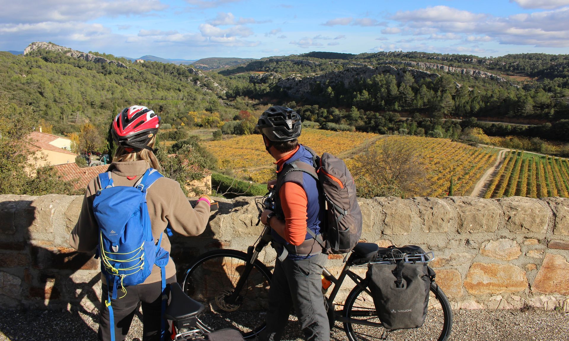
Continue straight north, on the D36 (caution). After 3 km, you will turn left towards Villespassans. Then, enjoy a beautiful winding road bordered by pine trees, overlooking the vineyards.
10
Head towards Assignan then, 2.5 km further on, turn right towards Saint-Chinian. The road continues amid limestone landscapes. The descent offers a superb panorama between reliefs and vineyards. Before arriving at Saint-Chinian, a detour to the mill on the left offers a superb viewpoint over the village with the Caroux mountain in the background.
11
You reach Saint-Chinian where you can taste the famous AOC at the Wine House or discover Art in the Cellar at the cooperative cellar. Cross the town towards Voie Ferrée street, then continue straight ahead to the Pierrerue town hall in order to reach the Saint-Chinian - Maureilhan Greenway which crosses vineyards and woods, towards Cessenon-sur-Orb.
12
Upon arrival in Cessenon, reach the banks of the Orb (a 145 km river stretching along the ramparts of Cessenon). Take a right onto the Boulevard de l’Orb for 1 km. At the end of your path, follow the bike path indicating “Base de Réals” 2.7 km away.
13
You arrive at the Réals base. After a break by the water, you cross the Orb and reach Magalas station through the picturesque villages of Avant-Monts.
In case of emergency, dial 112
Magalas
Prefer train for your journeys
Parking near the starting point
2
Road signs "Hérault à Vélo"
+33 4 67 67 71 71
ADT Hérault
Hérault Vélo
Oblíbené prohlídky v okolí
-
5.0
PECH BELET HIKE
světloTuristika 4.41 km -
OENORANDO® LES COTEAUX D'ENSÉRUNE
světloTuristika 8.08 km -
HIKING BETWEEN CANAL DU MIDI AND BEZIERS
světloTuristika 7.81 km -
CAPITELLES INTERPRETATION TRAIL
světloTuristika 4.33 km -
CAMIN'ARTS GREENWAY (CAPESTANG - CRUZY)
světloJízda na kole 11.9 km -
OENORANDO® LE PECH DU THOU
světloTuristika 7.34 km -
CASTLE CYCLE LOOP
světloJízda na kole 24.1 km -
OENORANDO® LES HAUTS DE CORNEILHAN
světloTuristika 10.3 km -
CIRCUIT TABARKA ISLAND – BÉZIERS MÉDITERRANÉE VTT-FFC AREA
středníMountainbike 17.2 km -
HIKING THE CANAL DU MIDI
světloTuristika 13.0 km
Pěší turistika a stopování


Nenechte si ujít nabídky a inspiraci pro vaši příští dovolenou
Vaše e-mailová adresa byl přidán do poštovního seznamu.





