



MTB route no. 15 Penne

You will discover the village of Penne and its 13th-century castle, a significant site of Catharism and the Albigensian Crusade, perched on its rocky spur overlooking the Aveyron. Along this route, you...
You will discover the village of Penne and its 13th-century castle, a significant site of Catharism and the Albigensian Crusade, perched on its rocky spur overlooking the Aveyron. Along this route, you will enjoy beautiful views of the Aveyron Valley and the landscapes of the Causse. You will go down to the foot of the village of Bruniquel before returning through a small, green valley.

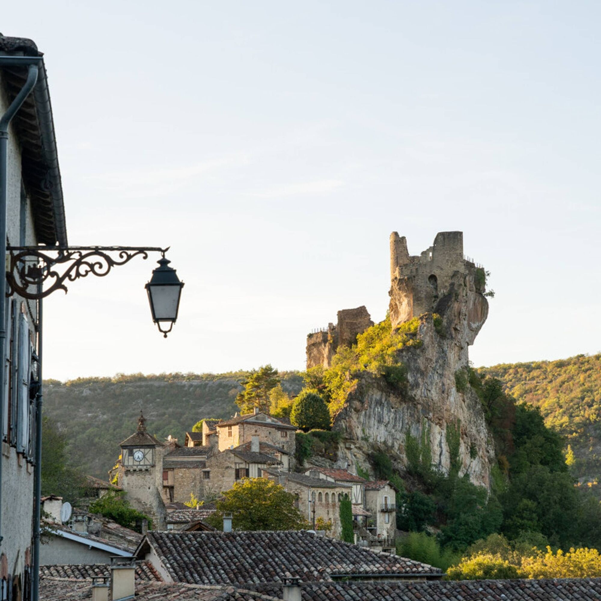
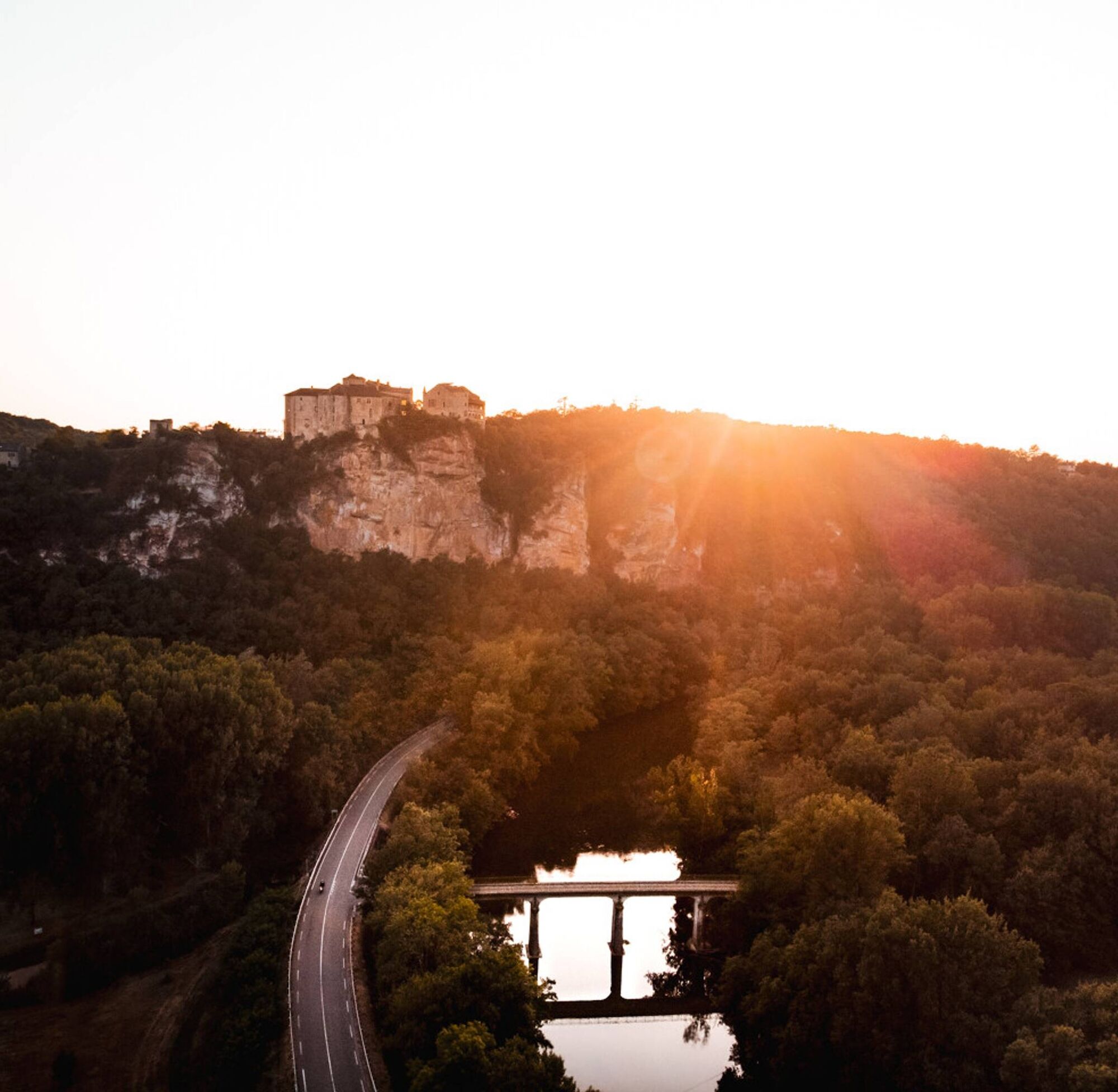

Starting from Penne, you descend below the village towards the Aveyron River and then climb up towards the Causse via a challenging uphill road. You cross the plateau on the small paths of the Causse and descend towards Bruniquel, enjoying a beautiful view of the castle overlooking the Aveyron Valley. You then gradually climb back up towards the Valeyres Farm and the hamlet of St. Paul de Mamiac. Finally, you descend back to Penne, having enjoyed all the panoramas.
Intermediate
Oblíbené prohlídky v okolí
-
The Suquets of Penne
světloTuristika 10.3 km -
Mountain Biking Trail: Grande Boucle Bastides and Vineyards of Gaillac
heavyMountainbike 144.4 km -
Sentier de Mespel
středníTuristika 5.73 km -
Tarn Horse Route: Puycelsi / Bruniquel
středníJízda na koni 11.9 km -
Tour du Tarn à cheval : Bruniquel / Roussayrolles
heavyJízda na koni 28.9 km -
Mountain Bike Route 8: Grand Tour of Grésigne
heavyMountainbike 52.5 km -
GR de Pays Penne - Cordes-sur-Ciel ®
heavyTuristika 31.8 km -
GR de Pays Castelnau-de-Montmiral - Penne ®
heavyTuristika 22.6 km -
Ornano Maquis Loop
světloTuristika 2.29 km -
The heritage trail (variant)
světloTuristika 6.61 km
Pěší turistika a stopování


Nenechte si ujít nabídky a inspiraci pro vaši příští dovolenou
Vaše e-mailová adresa byl přidán do poštovního seznamu.


