


Sandner Linde Bergtour


Short but strenuous mountain tour, which is rewarded with magnificent views!


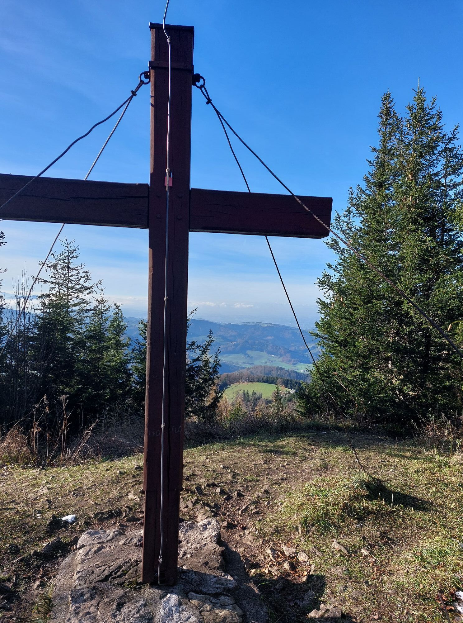
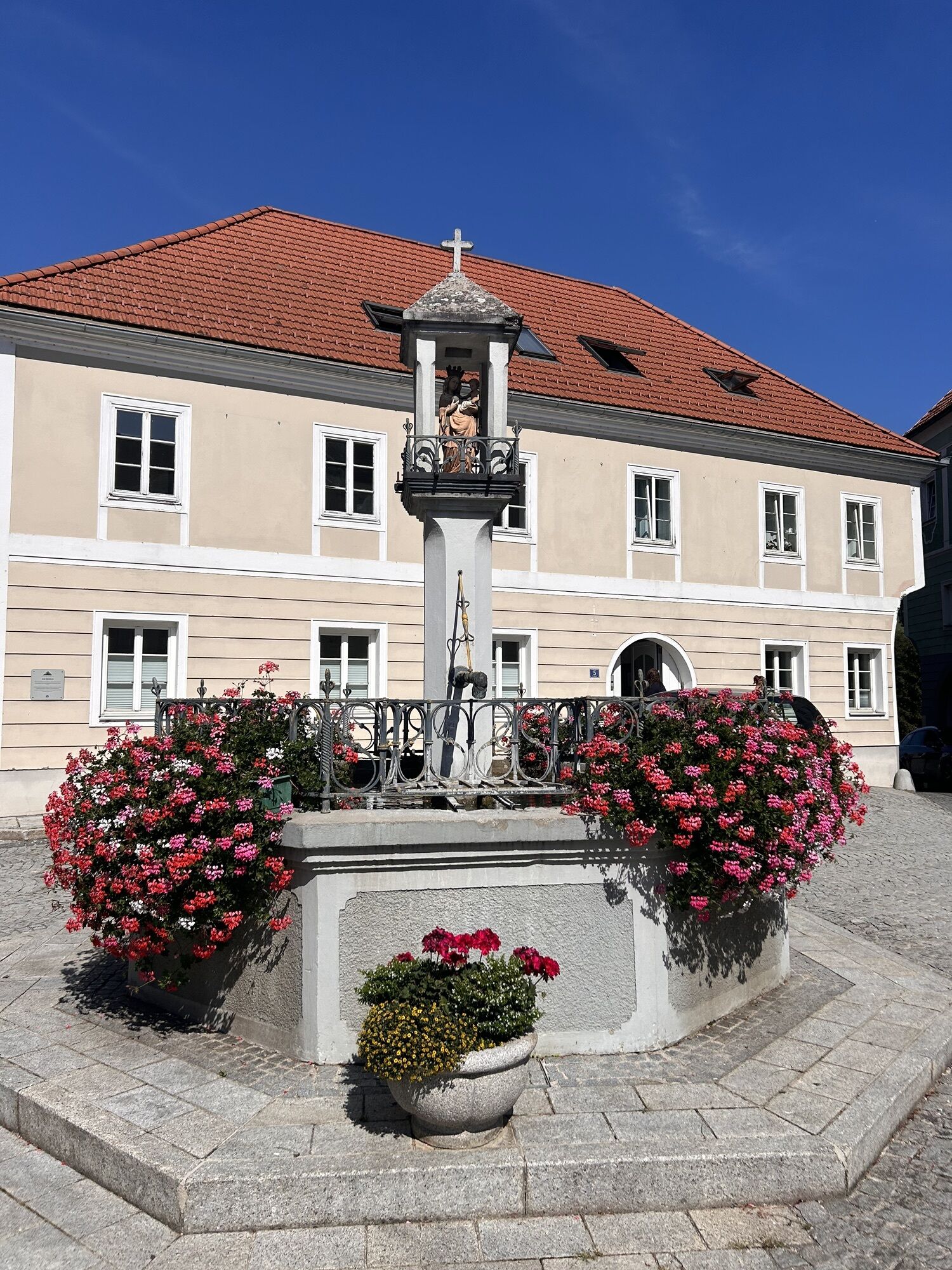
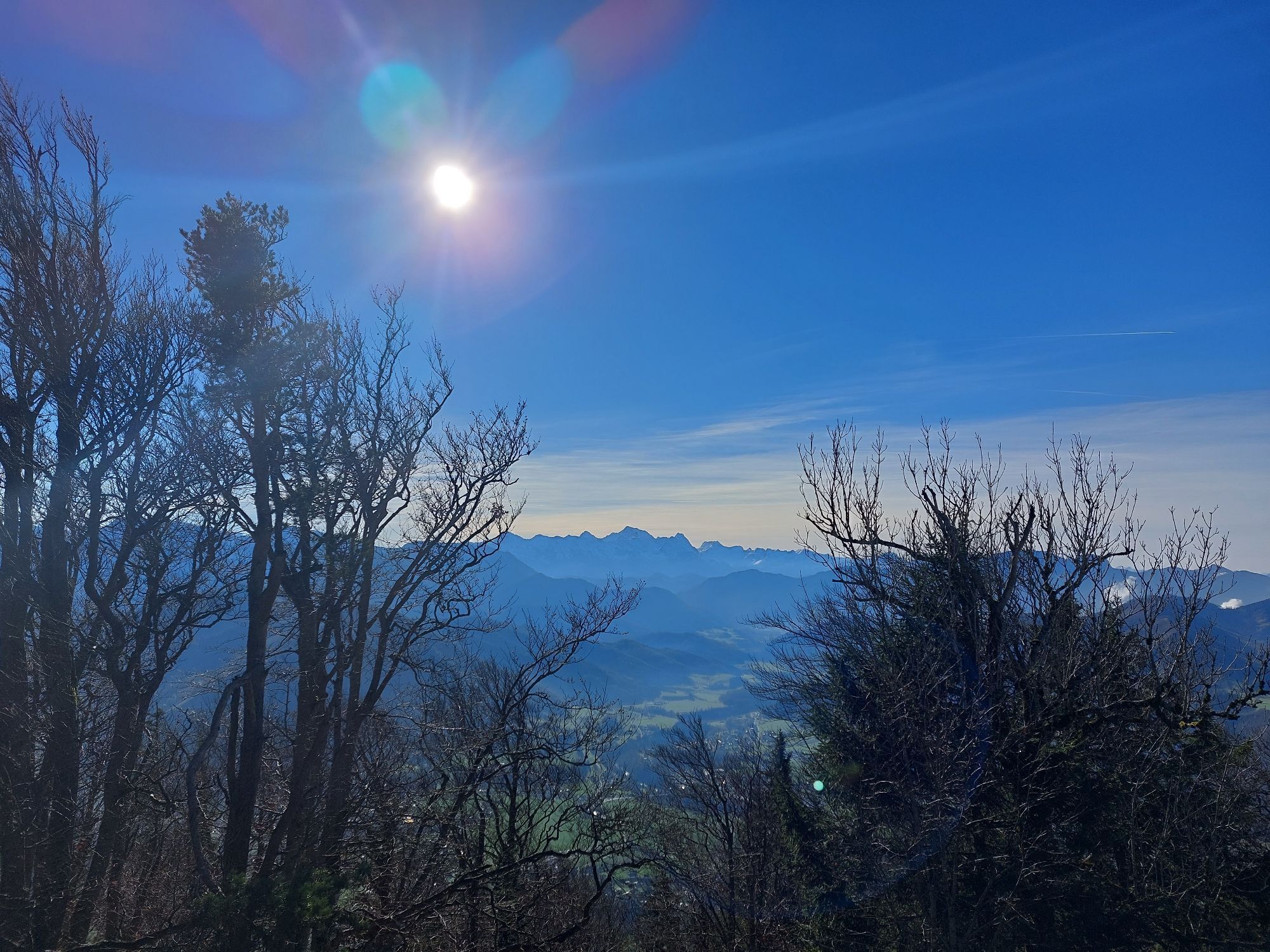
Short but strenuous mountain tour, which is rewarded with magnificent views!Steinbach - Ternbergerstraße - Gasthof Sandner Linde - after 5 km short detour to Polsterer Kogel - Pieslwang - SteinbachView-rich high-altitude route through farmland:Cycle downhill along Weyer Gasse and then right along the road. At the road junction turn right. On the Ternbergerstraße, which leads you up to the Gasthaus Sandner Linde, you will start to sweat a bit. After 5 km turn left to the Polsterer Kreuz. This wonderful vantage point invites you to a well-deserved rest. Enjoy the wonderful panoramic view and then return to Steinbach/Steyr via the district of Pieslwang.
Translated with www.DeepL.com/Translator (free version)
Think sun and rain protection and possibly a repair kit for minor bike mishaps.
Find out in advance about any road or trail closures along the route.
You can obtain map material at www.steyr-nationalpark.at
Oblíbené prohlídky v okolí
-
4.4
Ternberg -Schoberstein
středníTuristika 6.60 km -
4.3
Dürres Eck - Gaisberg - Hochbuchberg
středníTuristika 11.2 km -
4.6
Pfaffenmauer - Schoberstein - Gipfel der Lust Gasthof Klausriegler, Oberösterreich/Österreich
středníTuristika 9.72 km -
4.3
Gaisberg und Dürres Eck über Mollner Hütte
středníTuristika 9.98 km -
4.7
Kleiner und Großer Landsberg (3.7.2019) mit Sonnenuntergang
středníTuristika 3.51 km -
4.8
Schoberstein via Trattenbach/Gasthaus Klausriegler
středníTuristika 2.60 km -
4.3
Rinnerberger Wasserfall - Klamm
středníTuristika 7.55 km -
3.7
Schoberstein via Trattenbach/railway station
světloTuristika 5.53 km -
4.2
Großer und kleiner Landsberg
světloTuristika 6.16 km -
4.2
Gipfel der Lust, Koglerstein, Schobersteinhaus
světloTuristika 8.56 km

Pěší turistika a stopování


Nenechte si ujít nabídky a inspiraci pro vaši příští dovolenou
Vaše e-mailová adresa byl přidán do poštovního seznamu.