






Donausteig stage 4_G06 Grein - Sarmingstein: “Through the wild Strudengau”
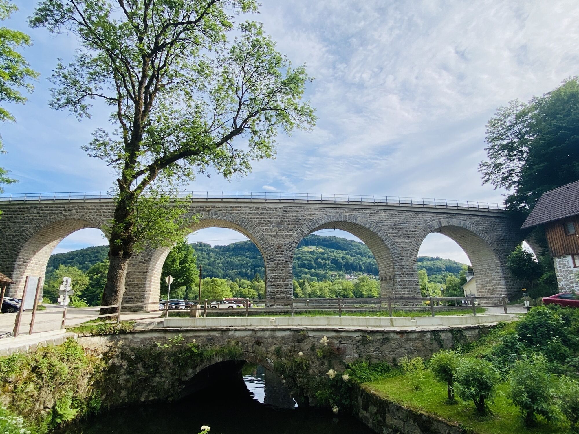
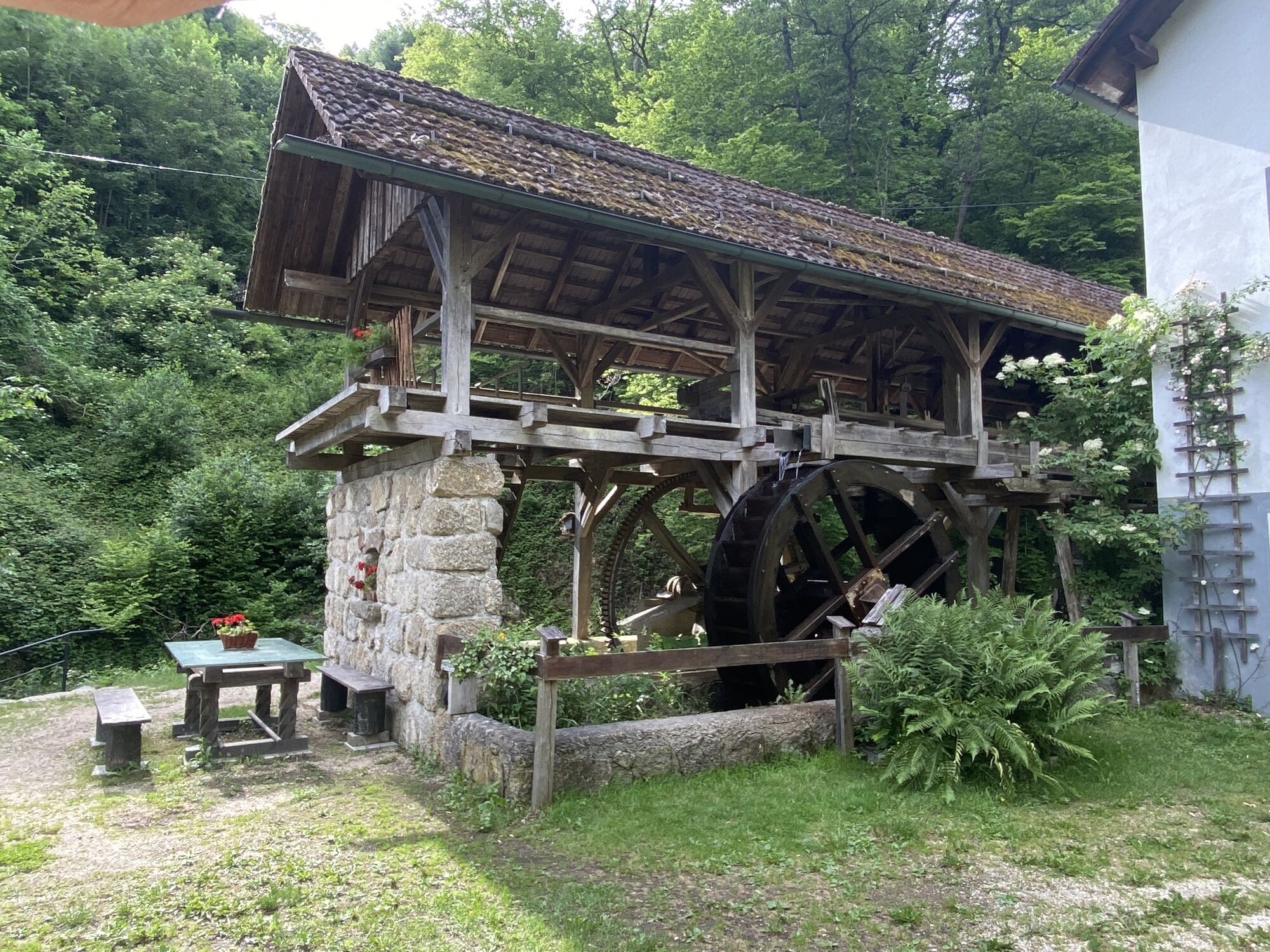
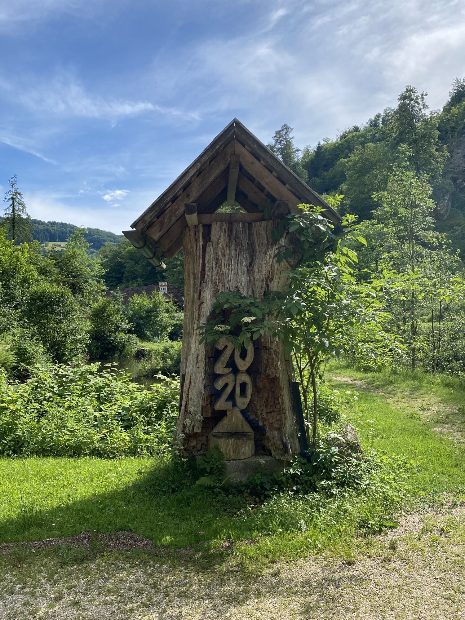
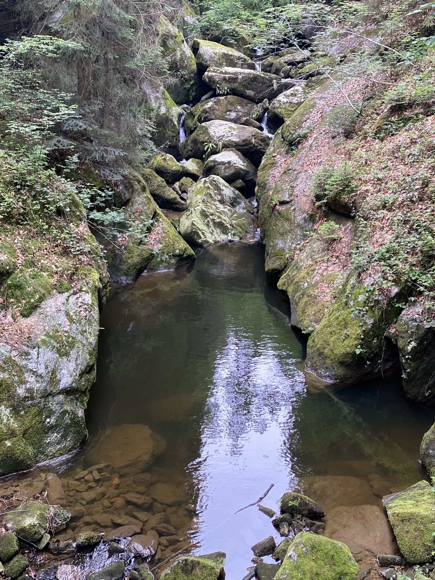
Grein, the gateway to Strudengau, is the starting point for this wonderful Donausteig stage. The historic town was once the last safe mooring spot before the dangerous whirlpools of Strudengau! Magnificent...
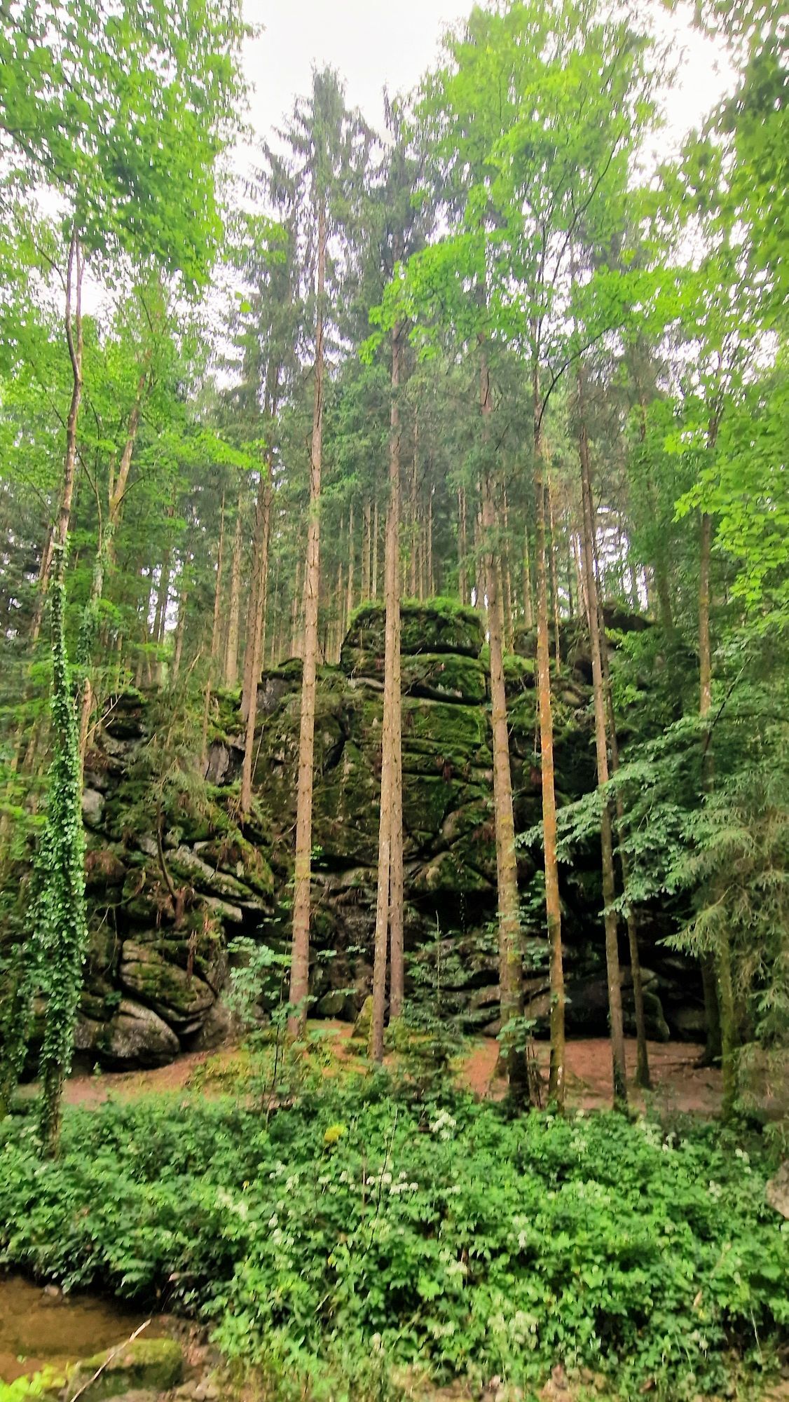
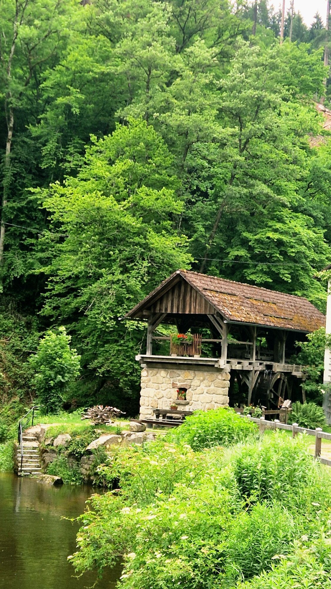
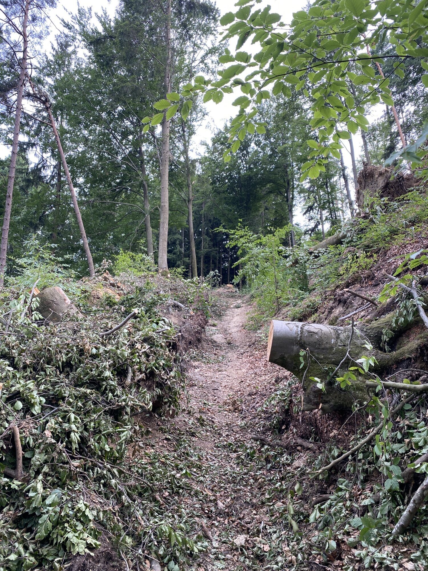
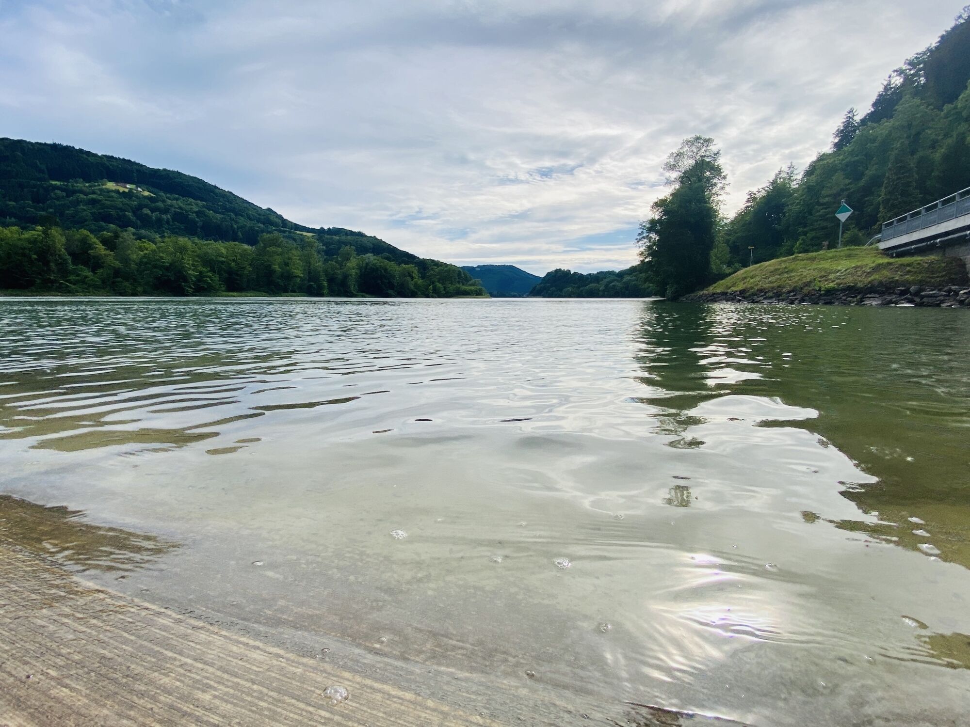
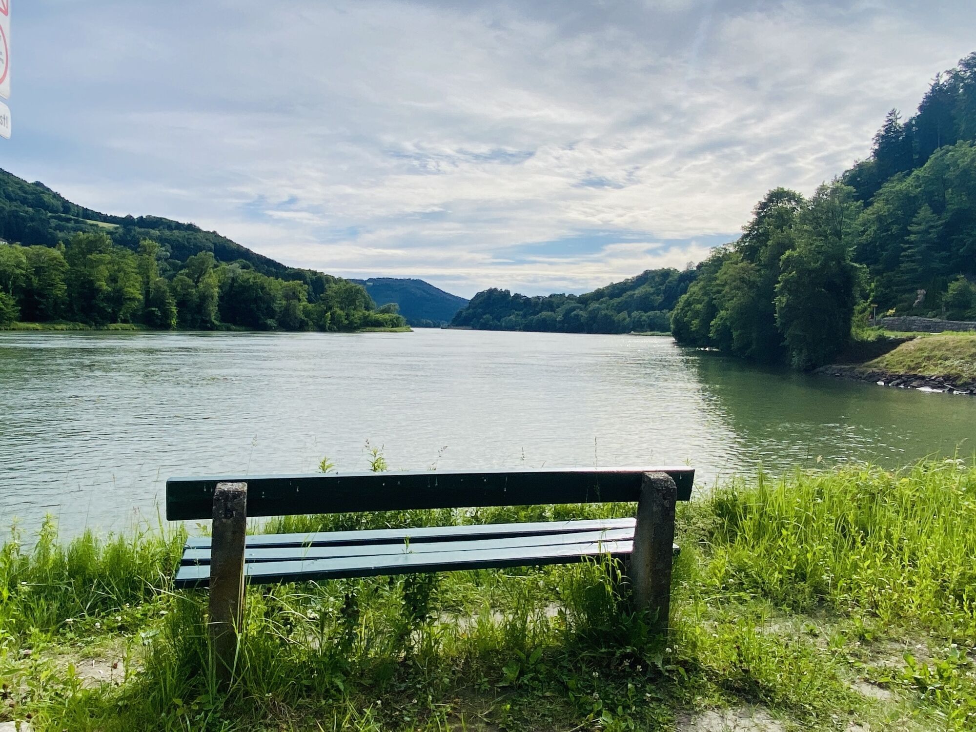
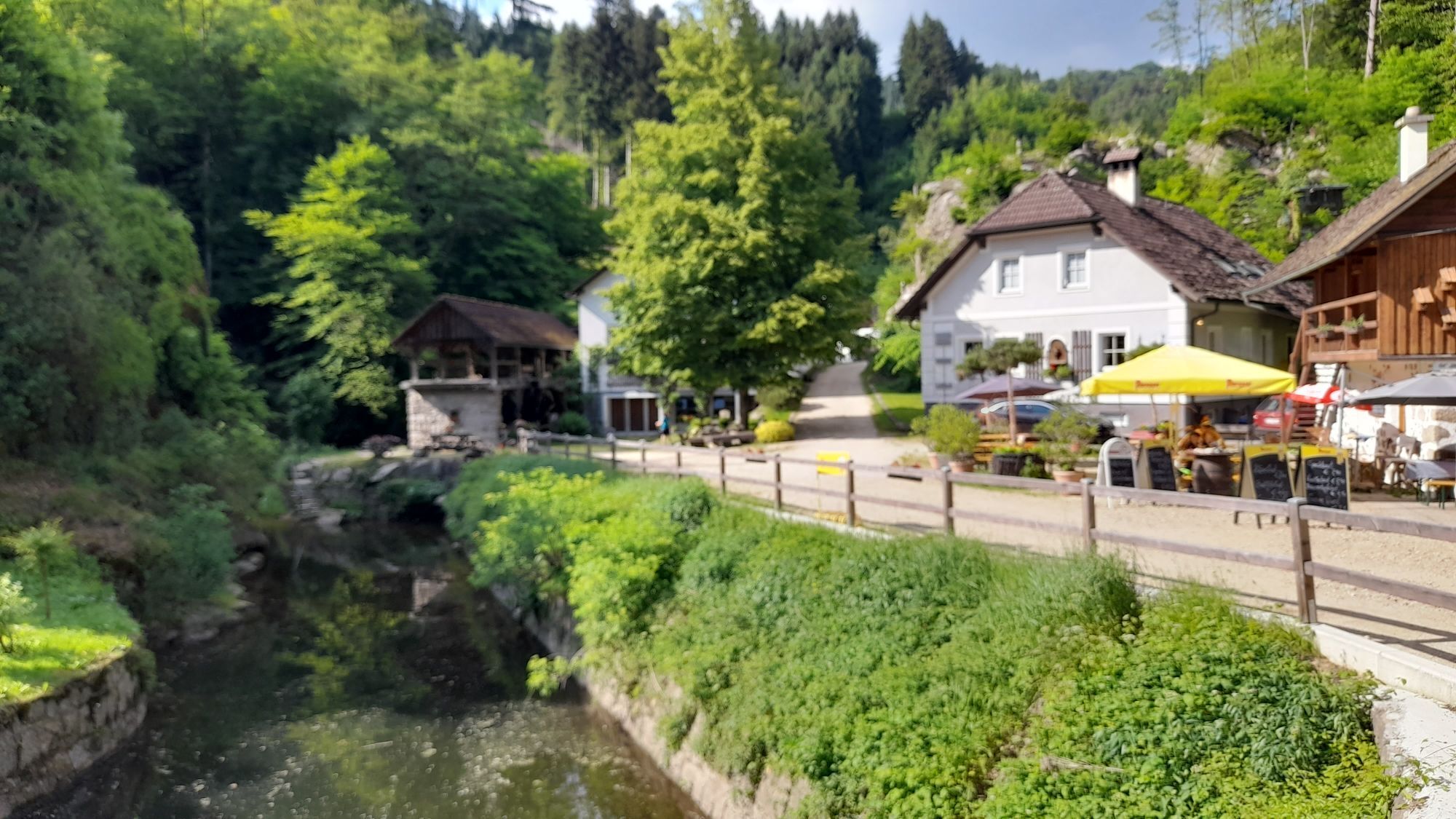
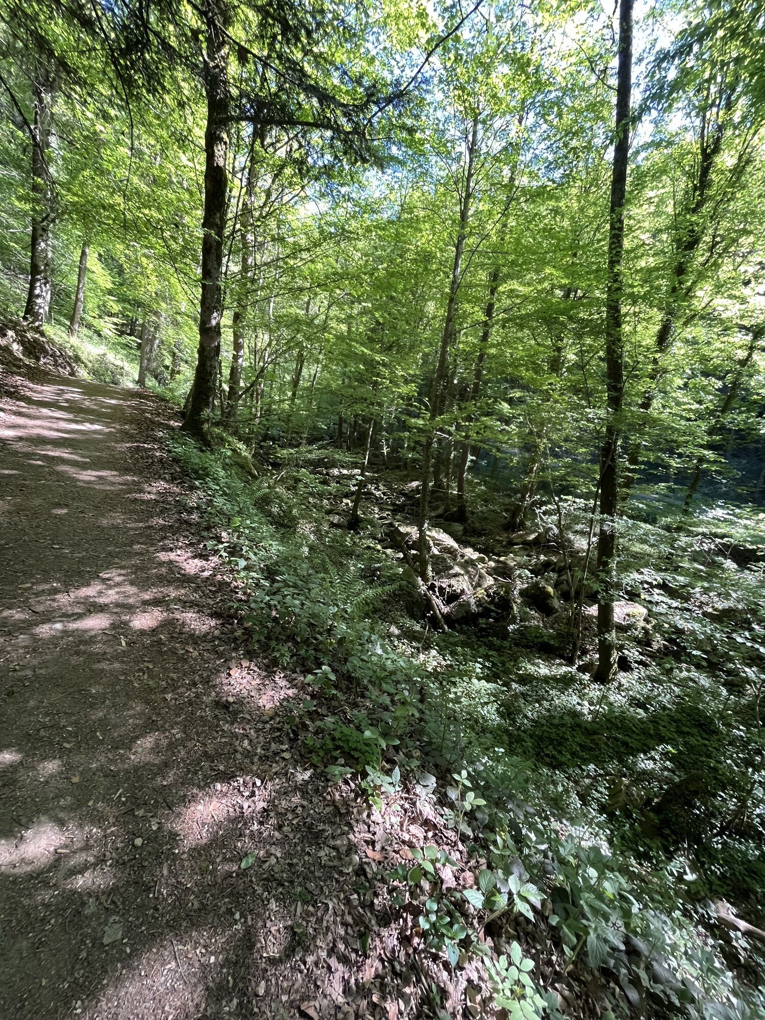
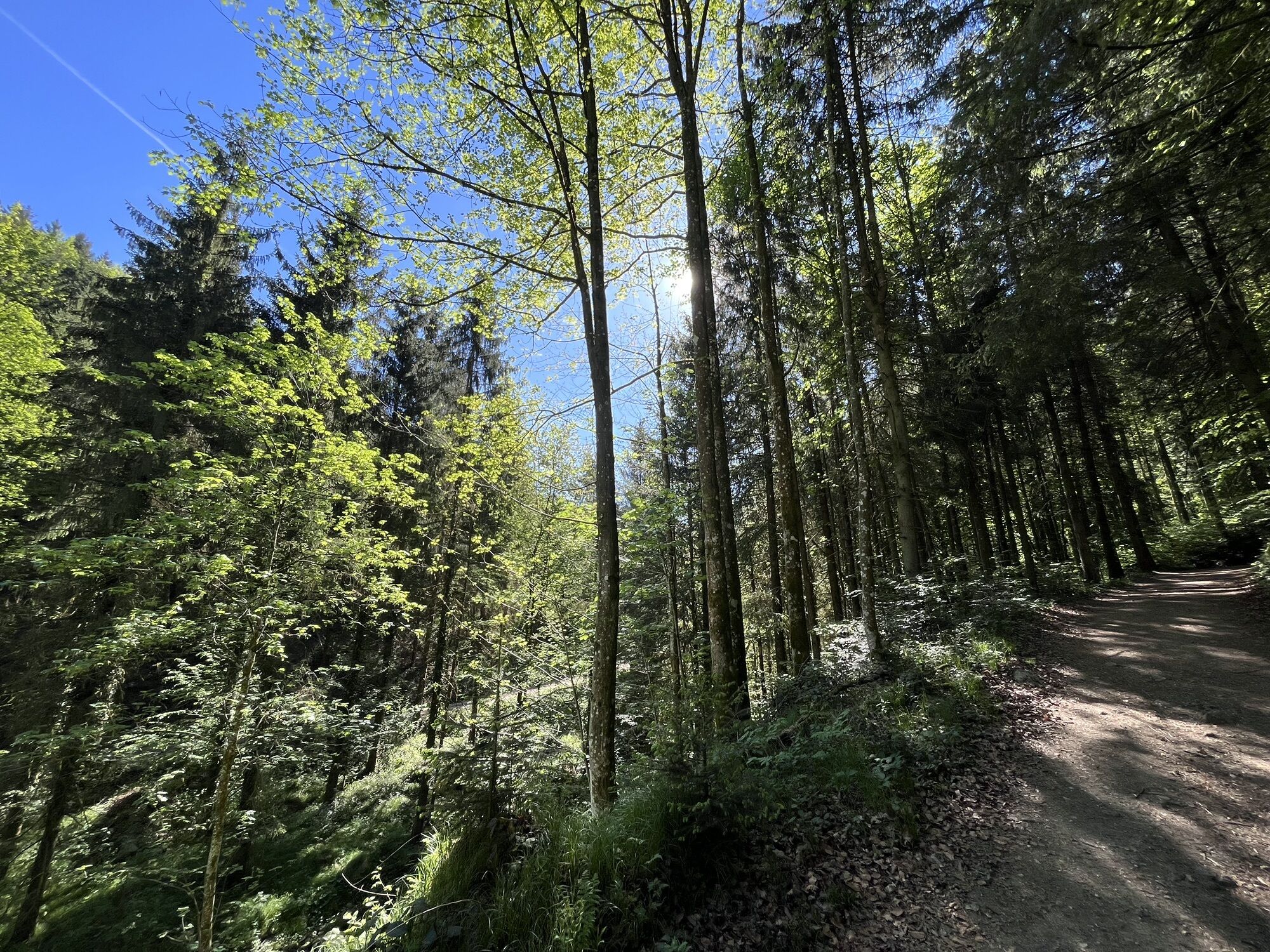
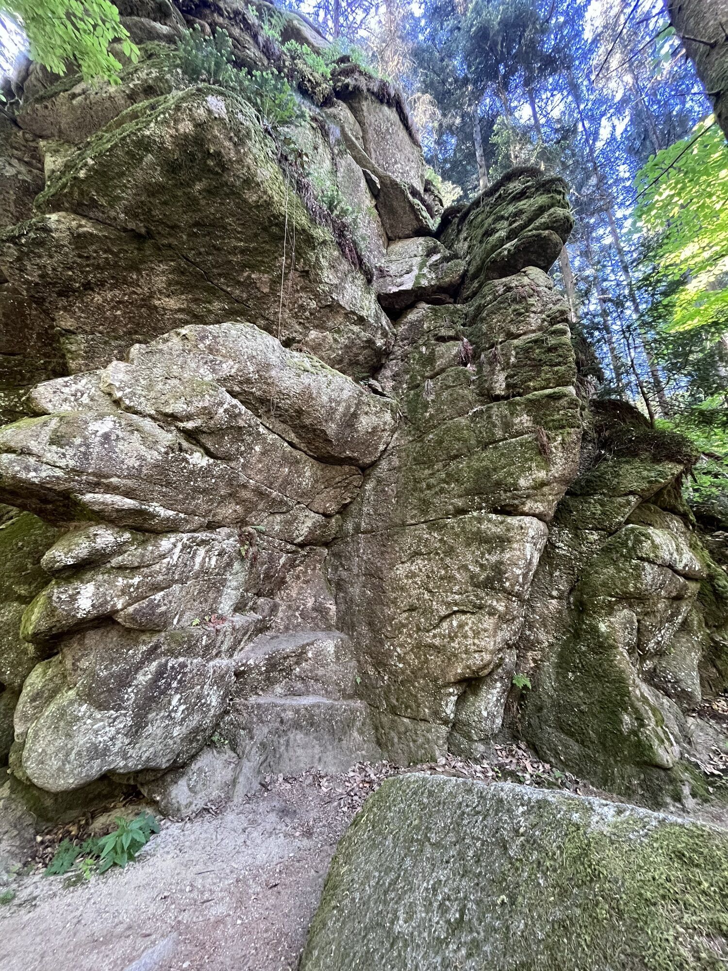
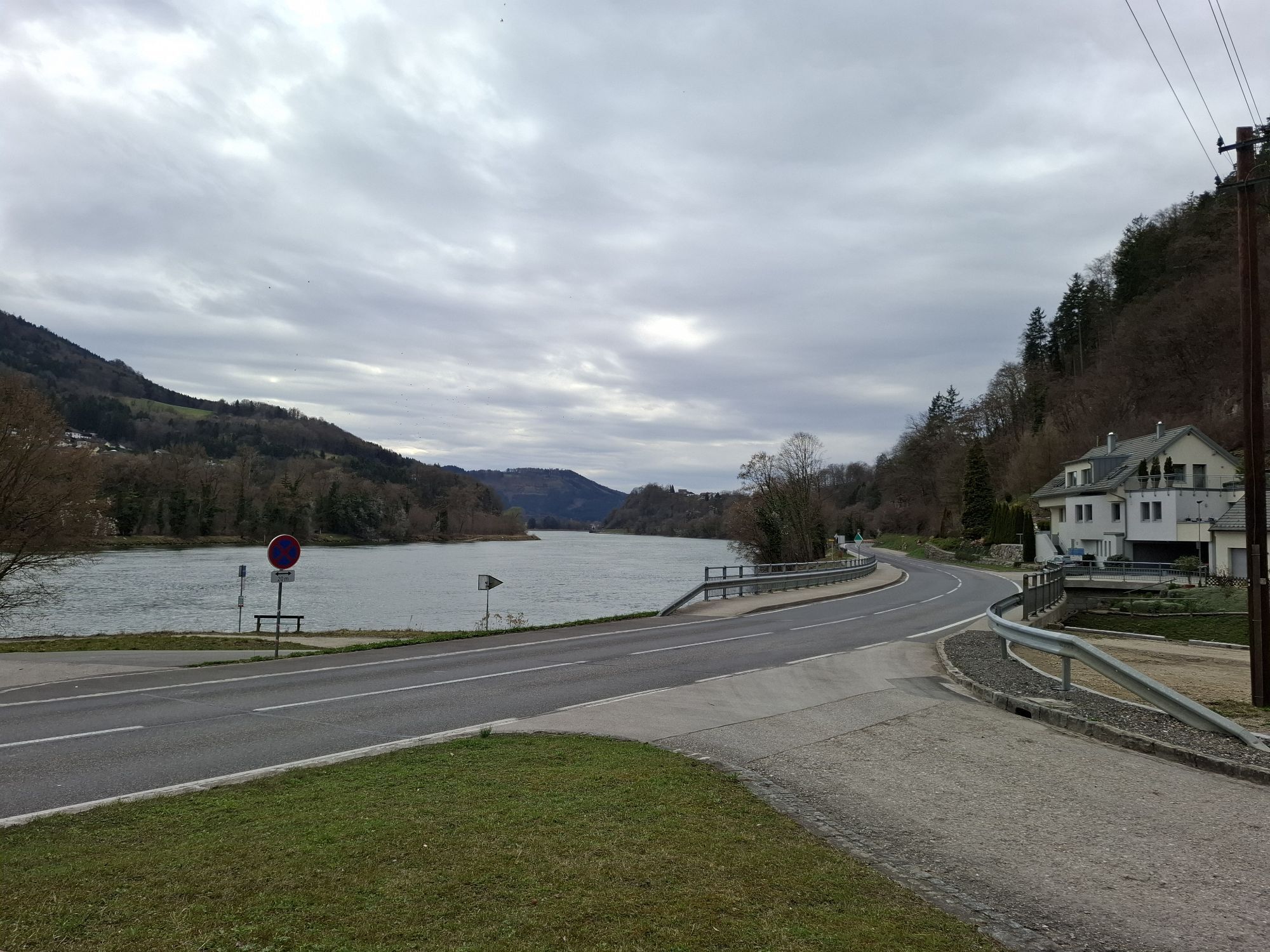
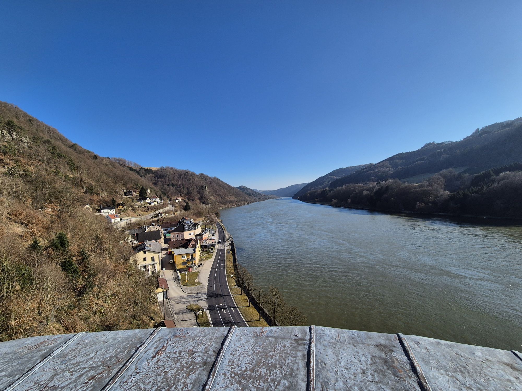
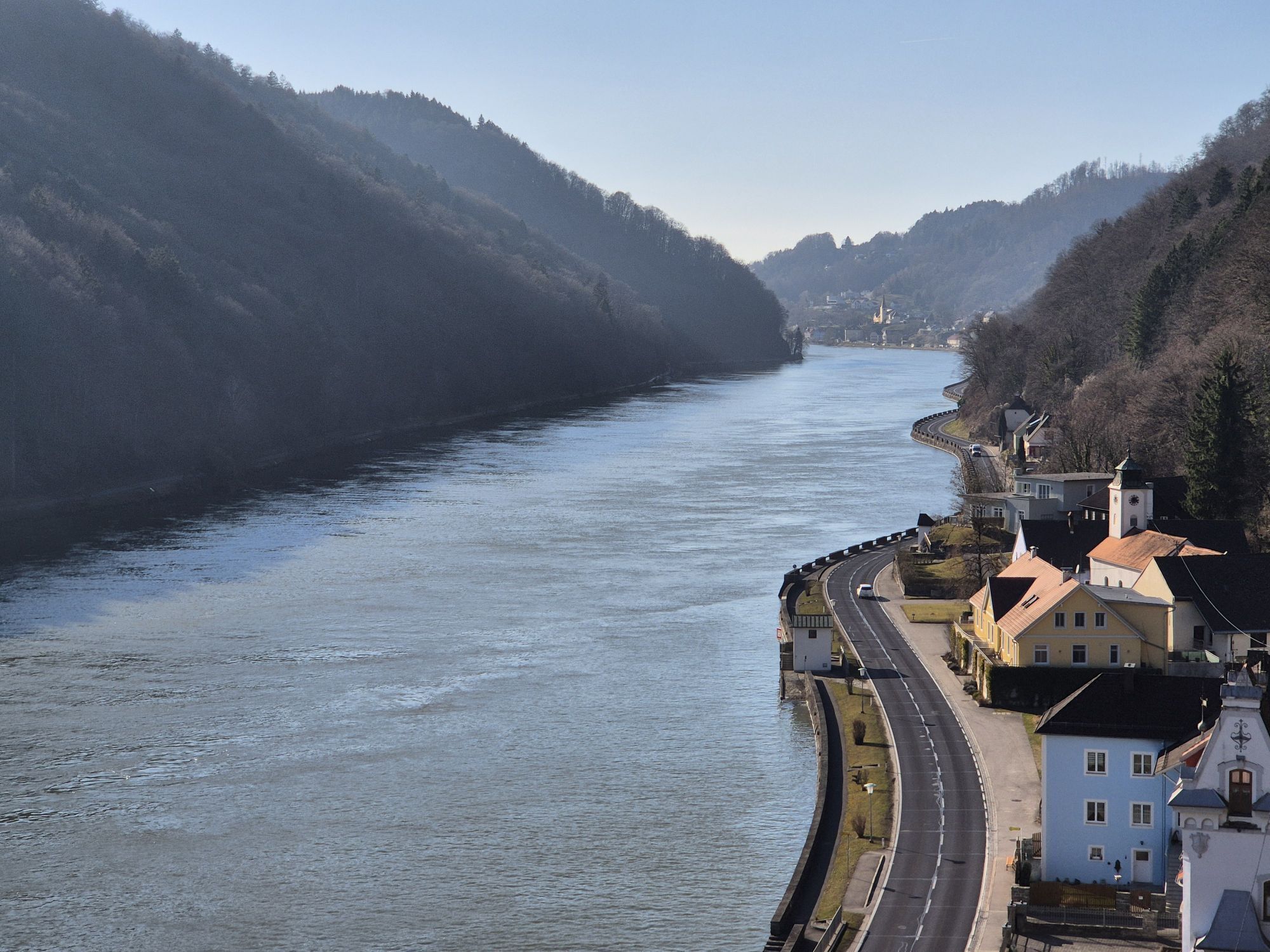
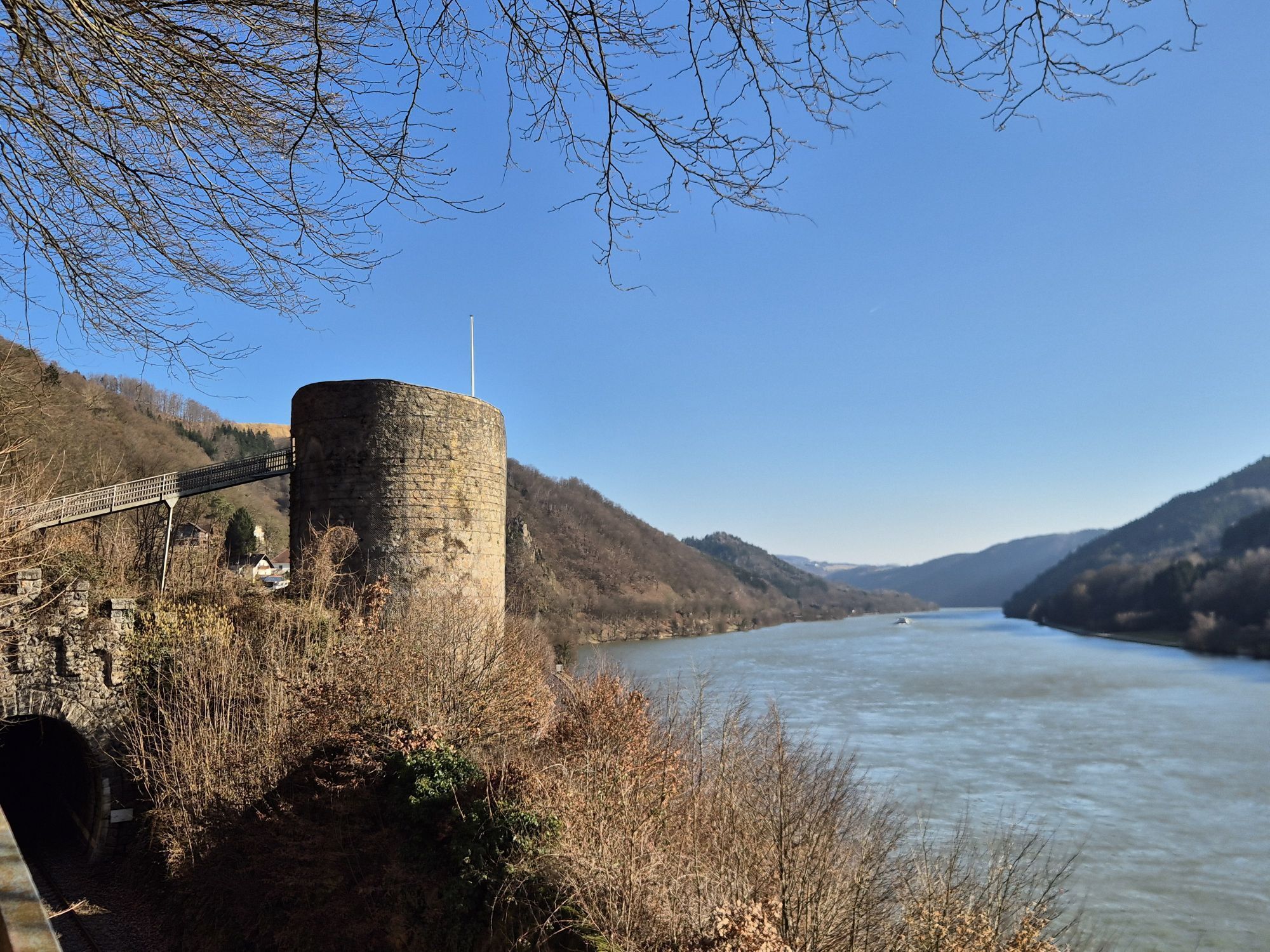
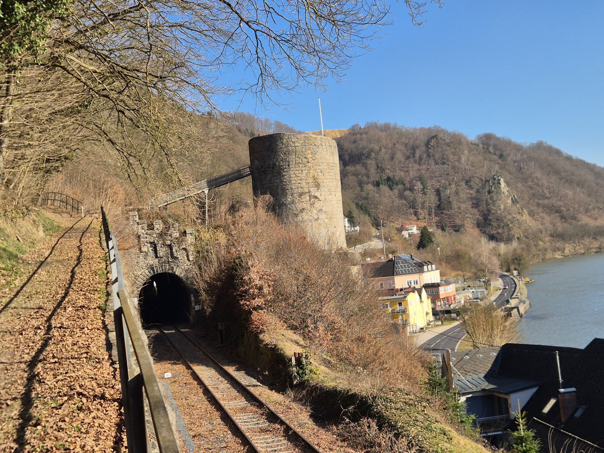
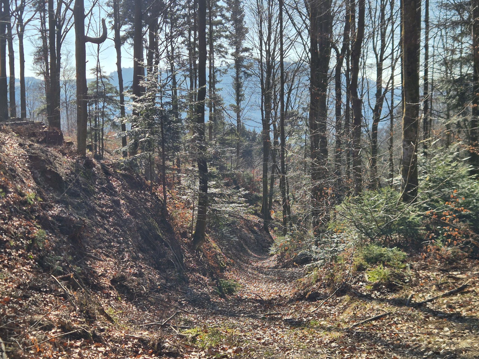
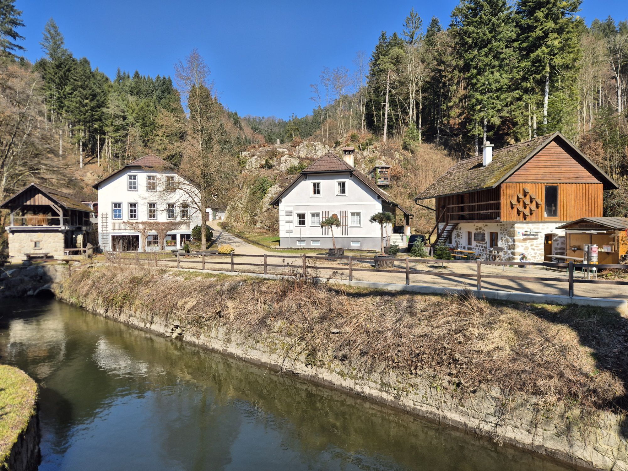
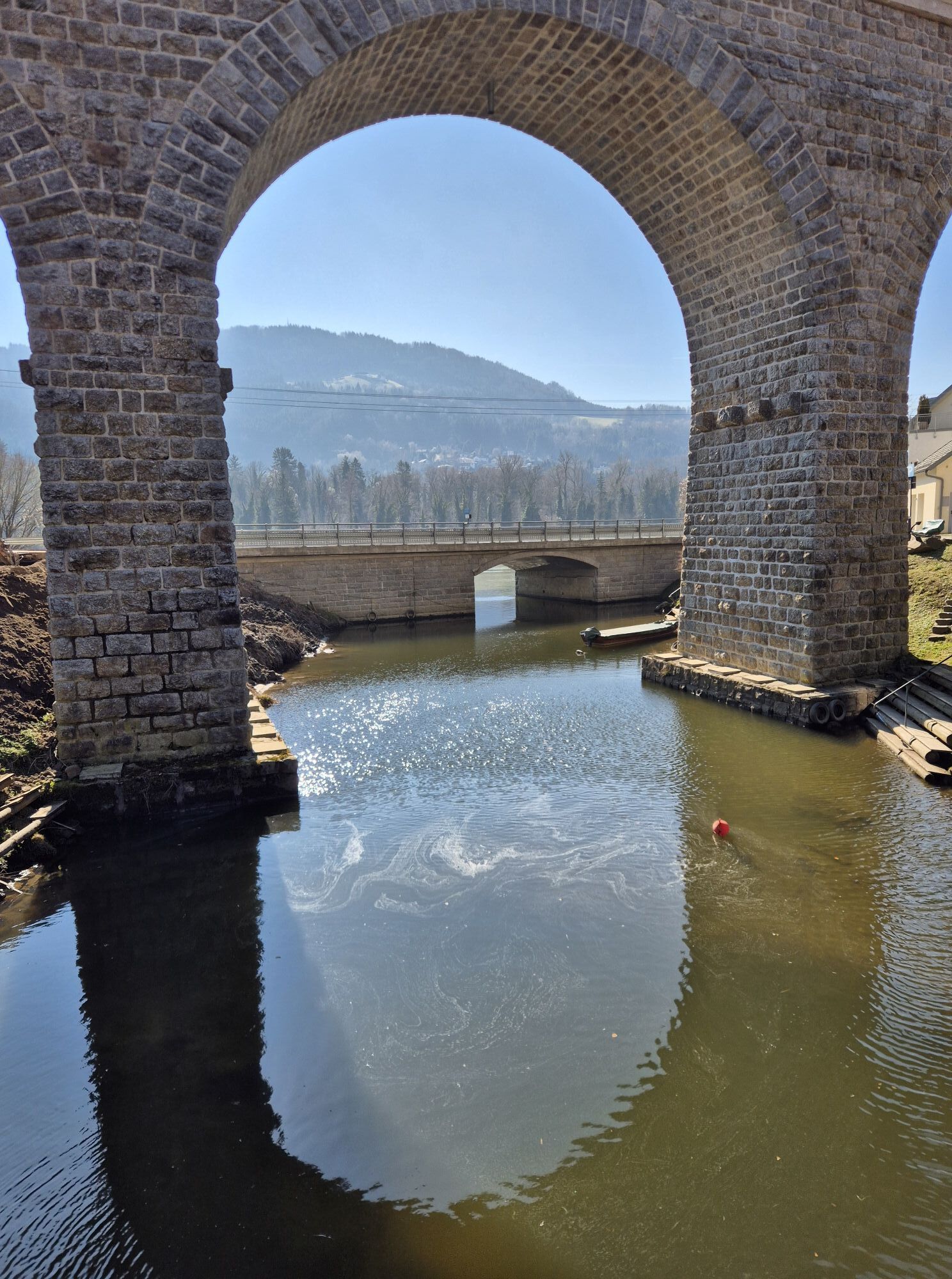
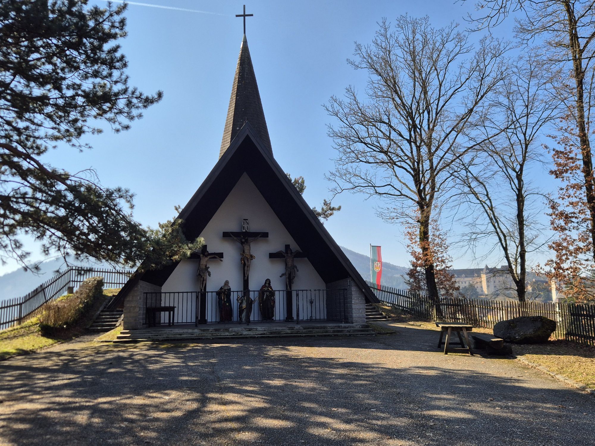
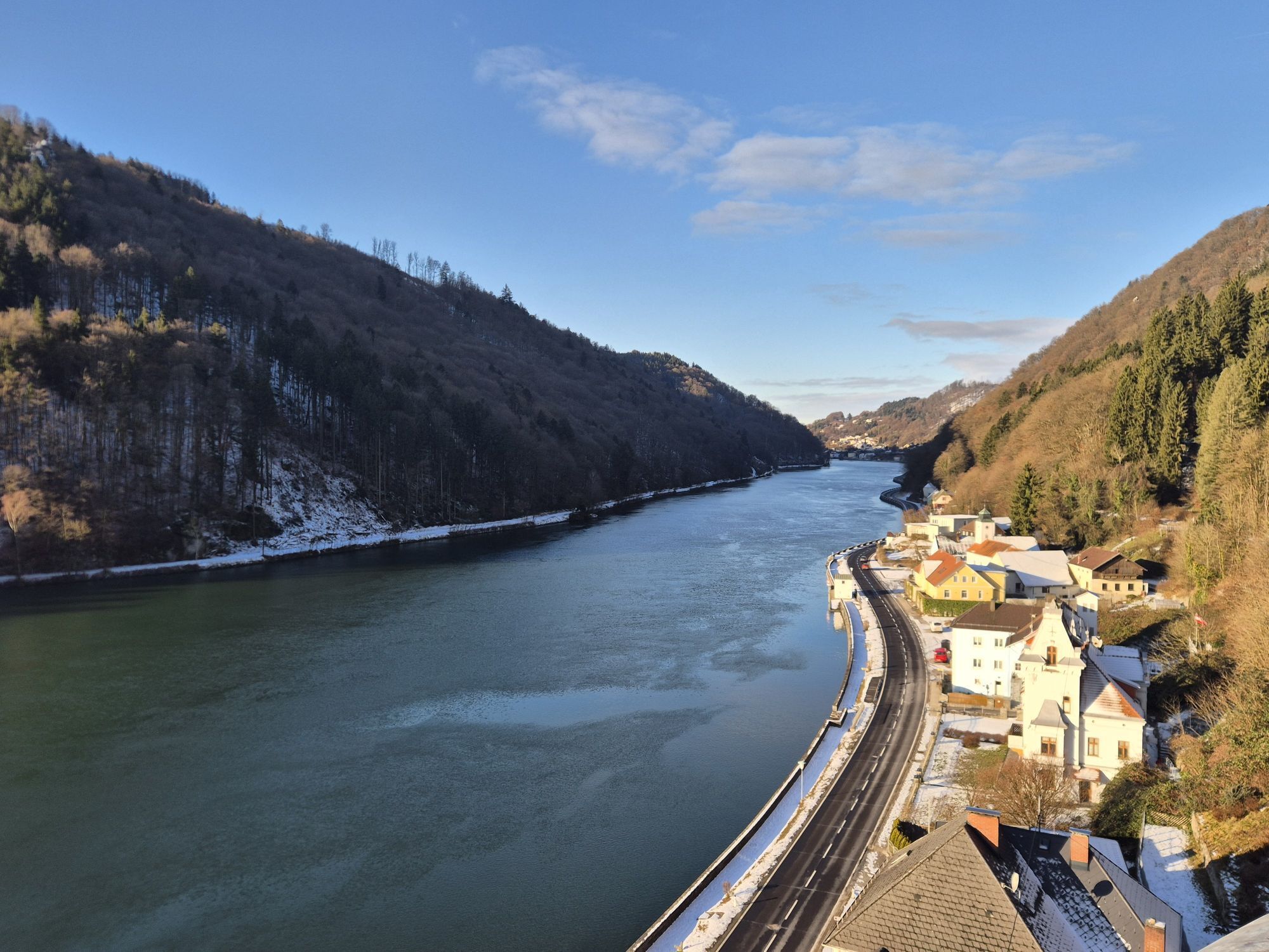
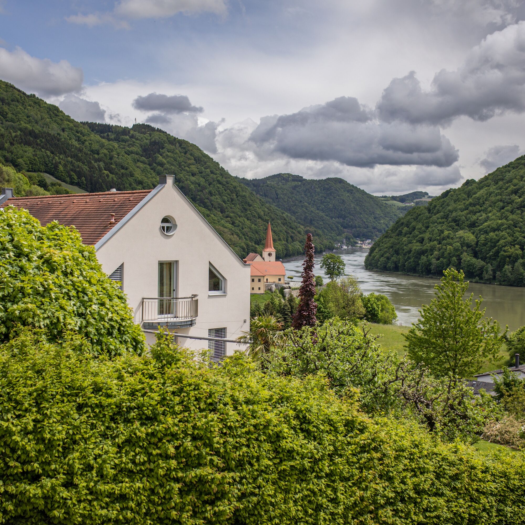
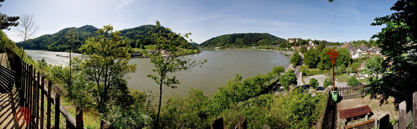
Grein, the gateway to Strudengau, is the starting point for this wonderful Donausteig stage. The historic town was once the last safe mooring spot before the dangerous whirlpools of Strudengau! Magnificent facades, elegant bay windows, … bear witness to wealth from Danube shipping. On the Danube promenade, we stroll to the Halterkreuz, which still warns today of the once first Strudengau obstacle. From there, the Donausteig leisurely climbs through a settlement area. A short detour to Kalvarienberg opens a wonderful view of Grein at a Donausteig viewpoint and shows us an unusual granite gallery. Afterwards, the urban settlement area quickly transitions into a rural cultural landscape and further into the typical forest landscape of the steep Danube notch valley. Over forest roads, we hike uphill in the forest to the view of Werfenstein Castle. Then forest paths lead us back down to the Danube at the Gießenbachmühle. Here on the Danube once began the most dangerous section of Strudengau!
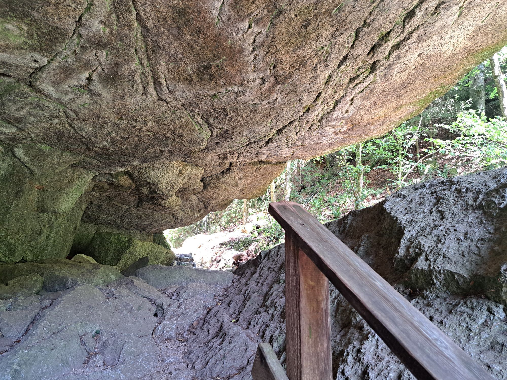
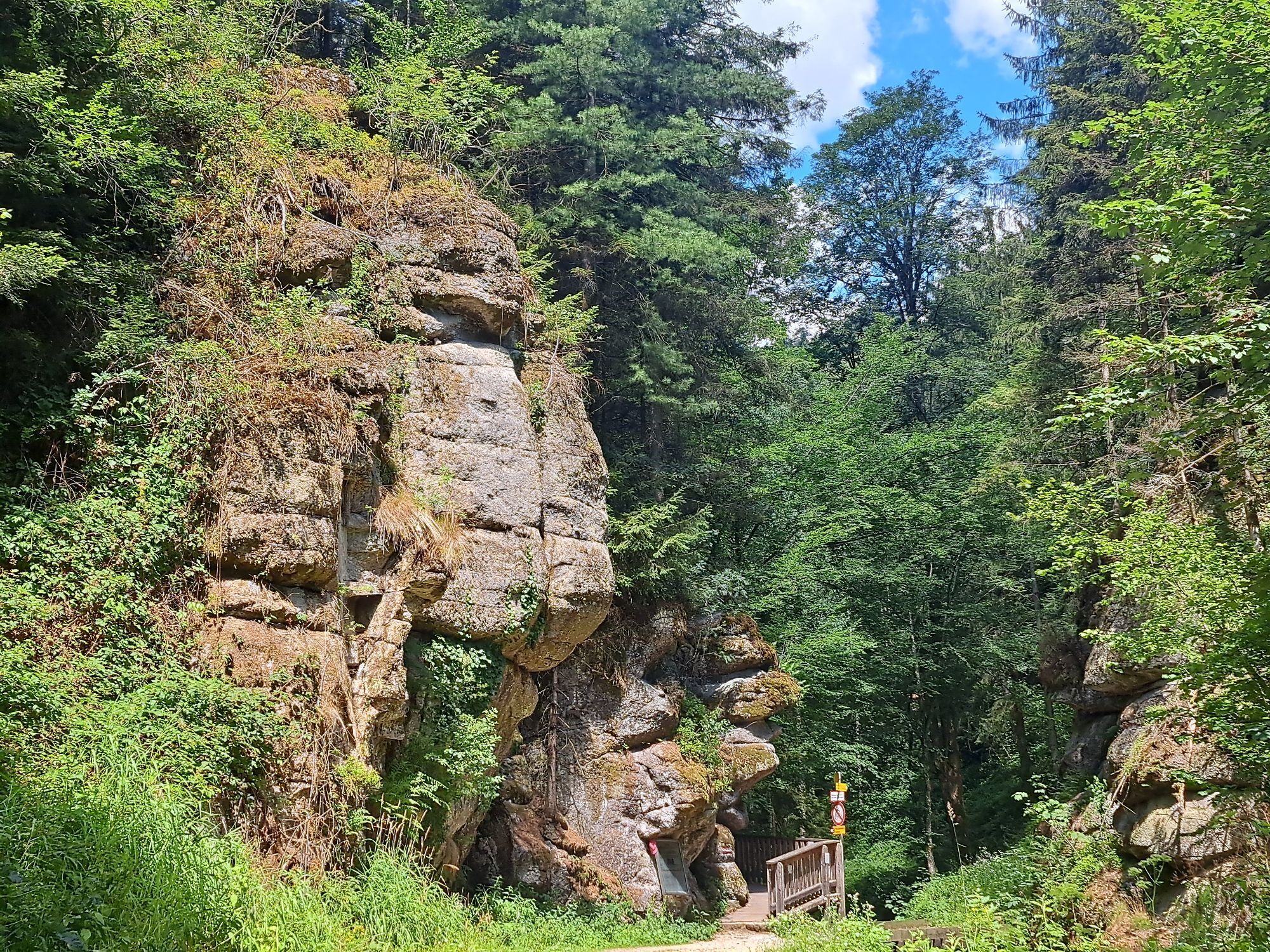
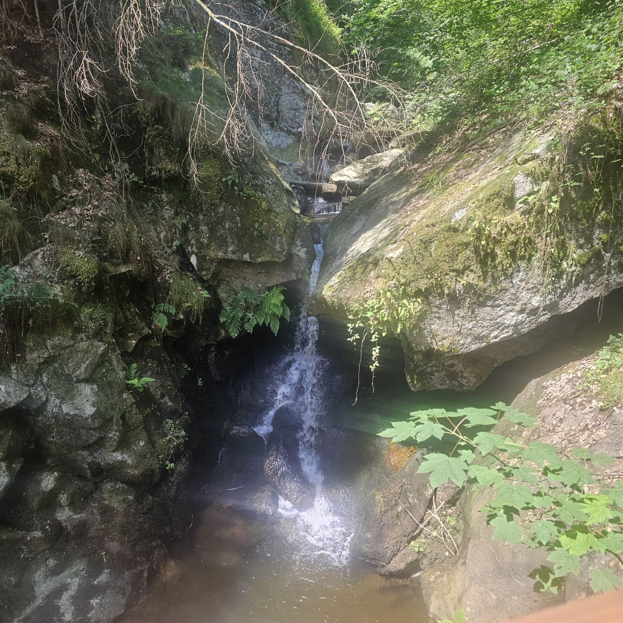
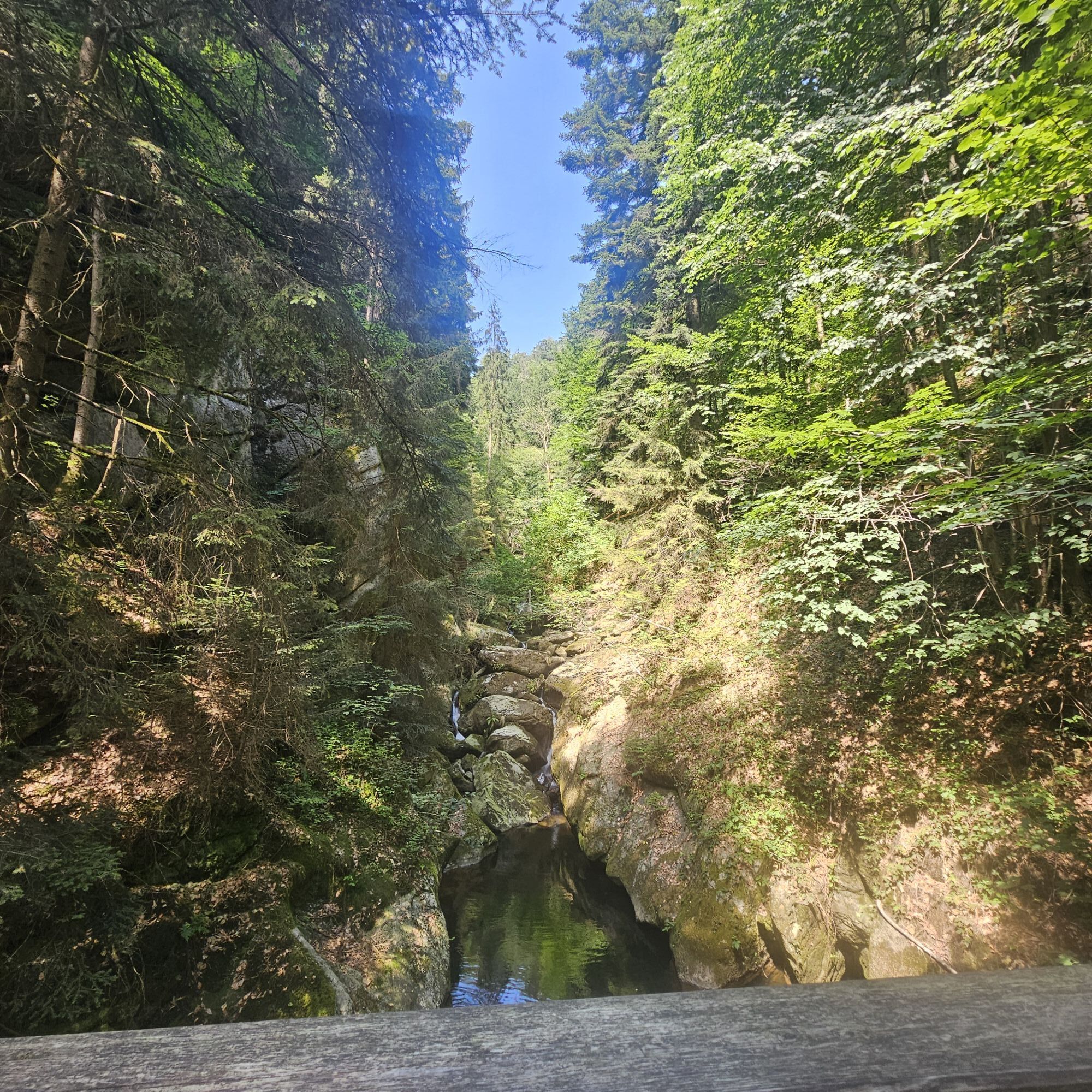
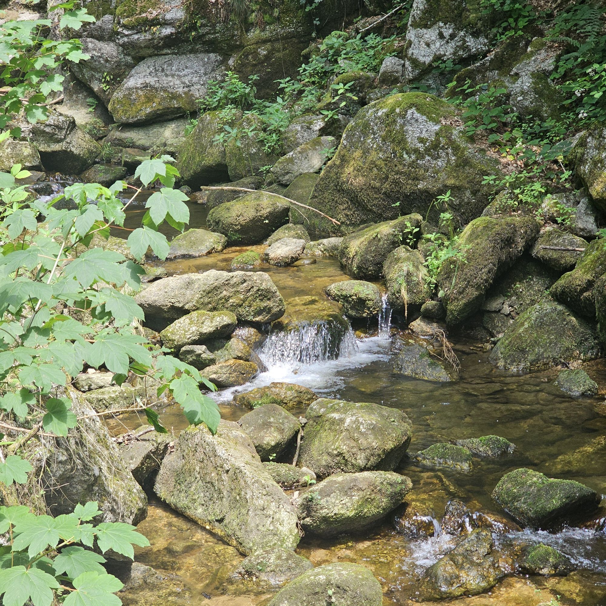
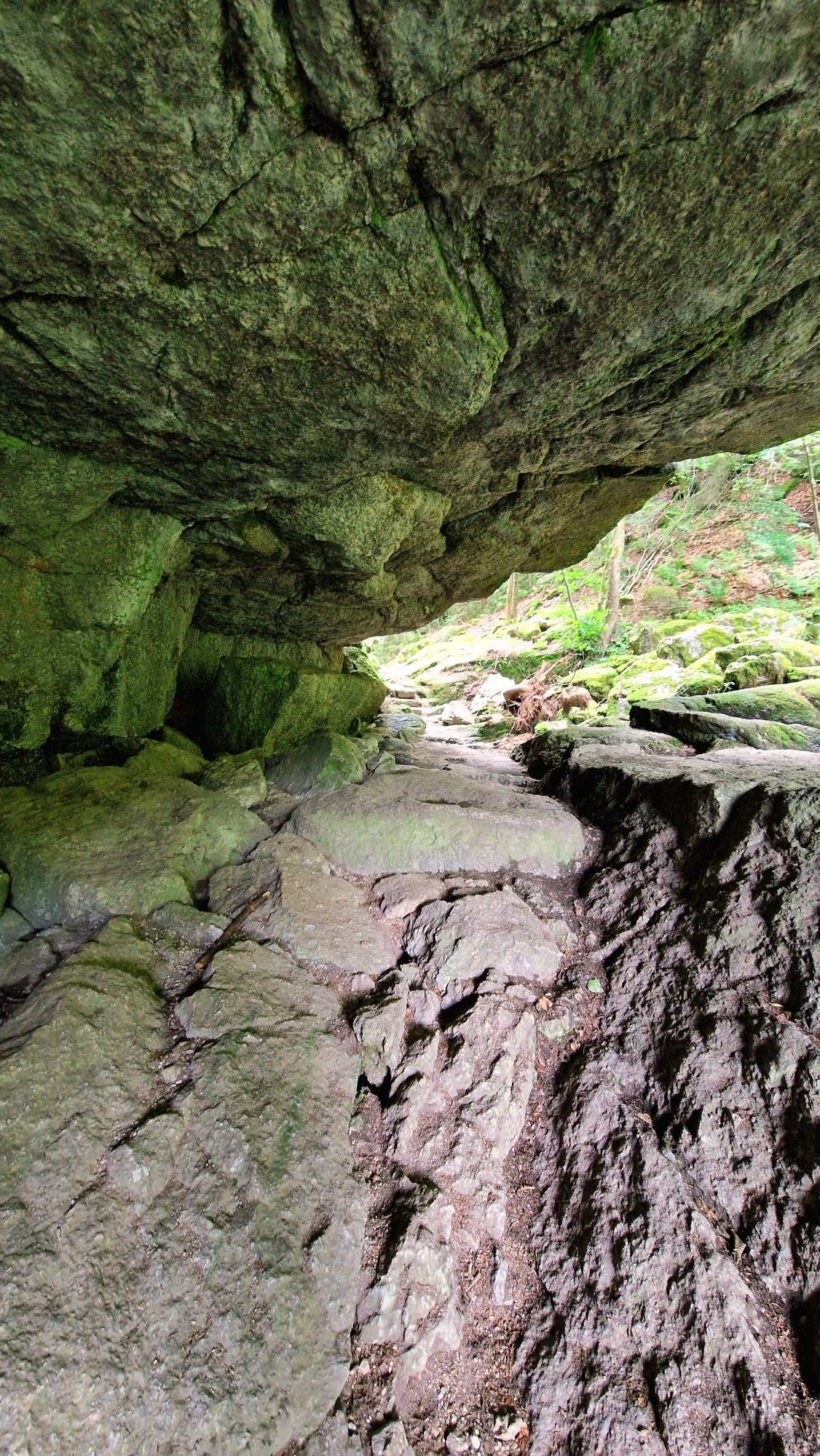
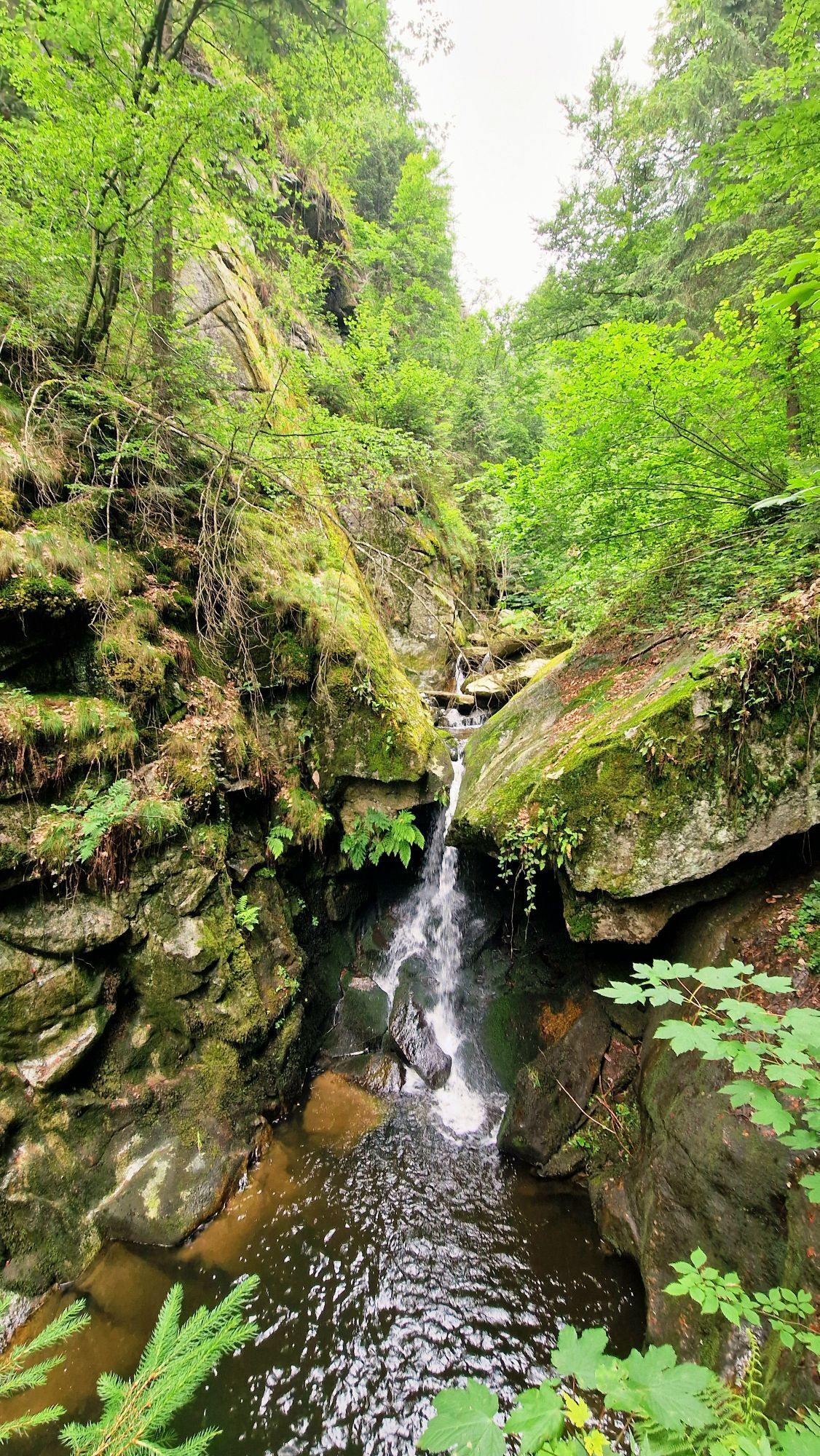
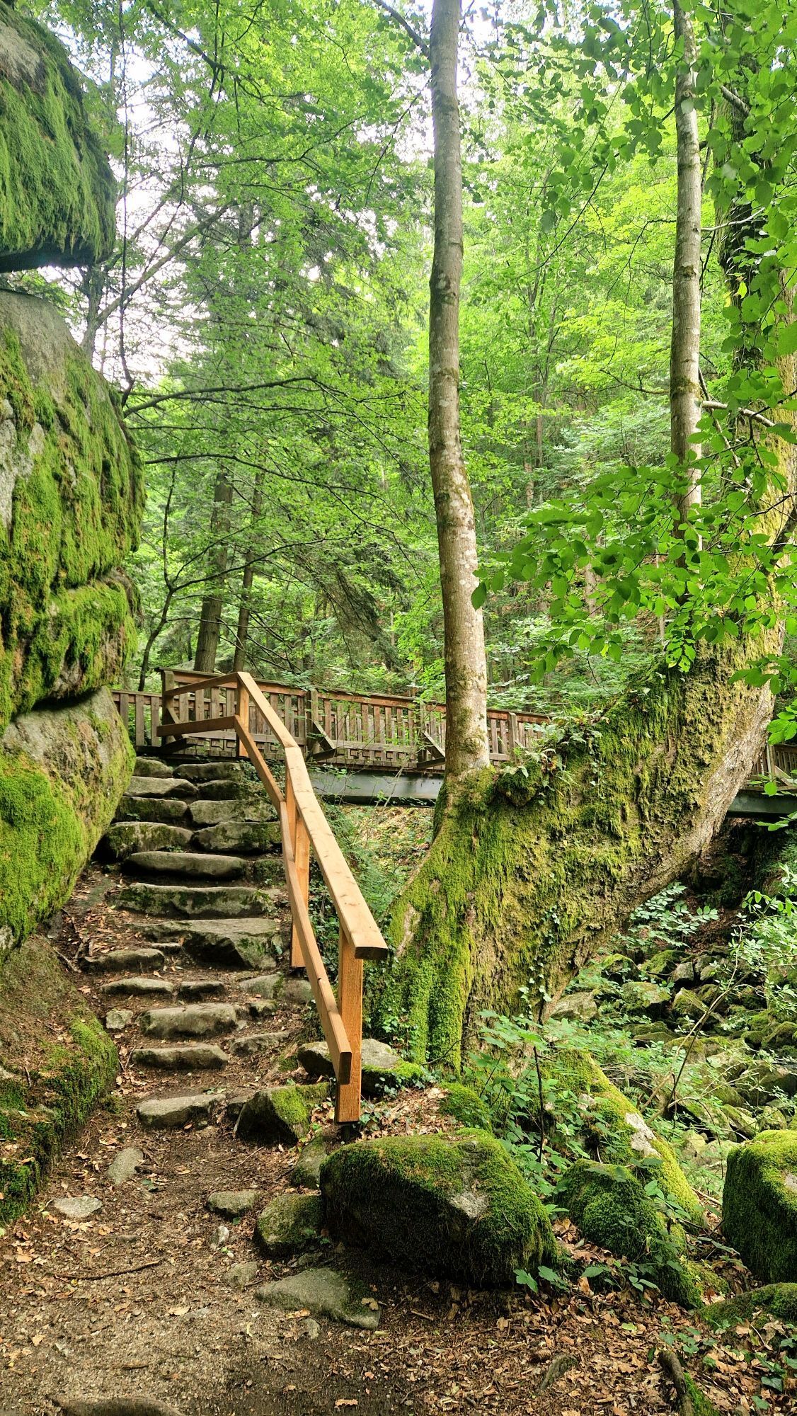
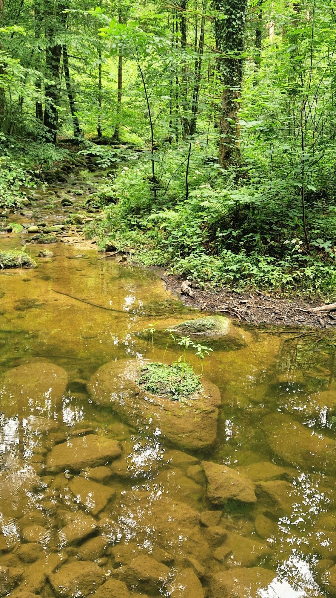
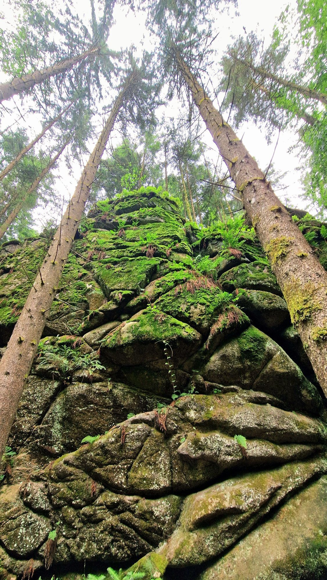
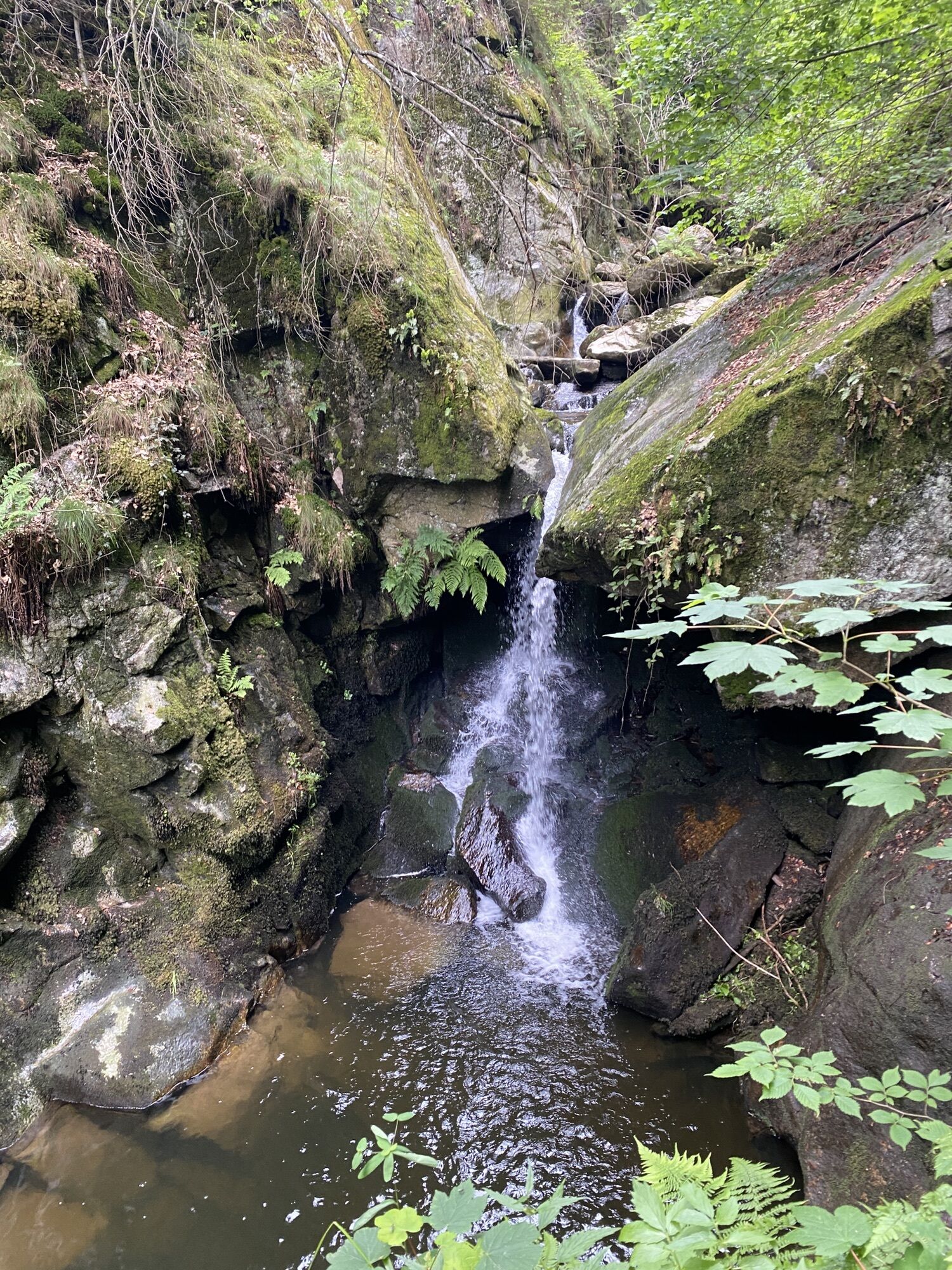
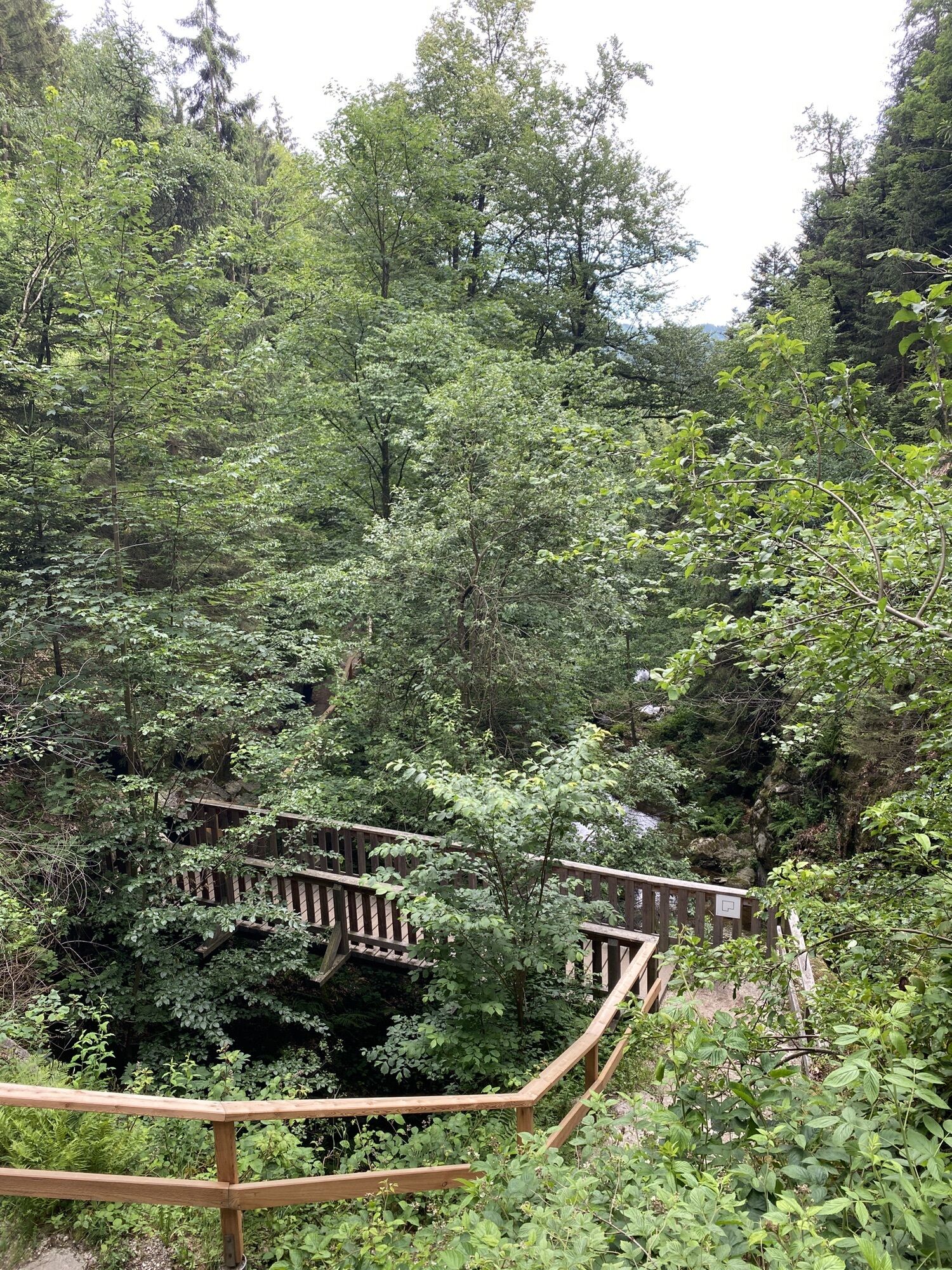
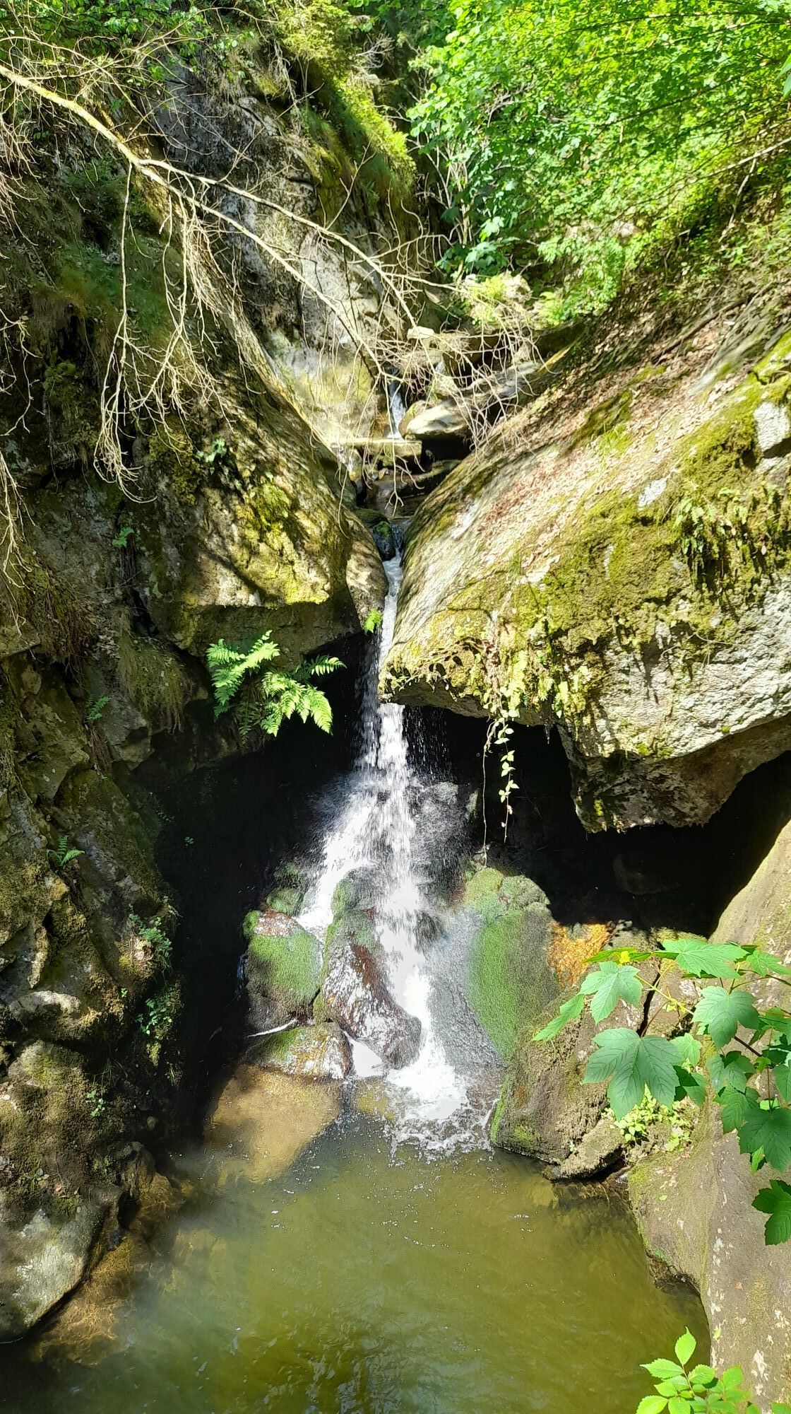
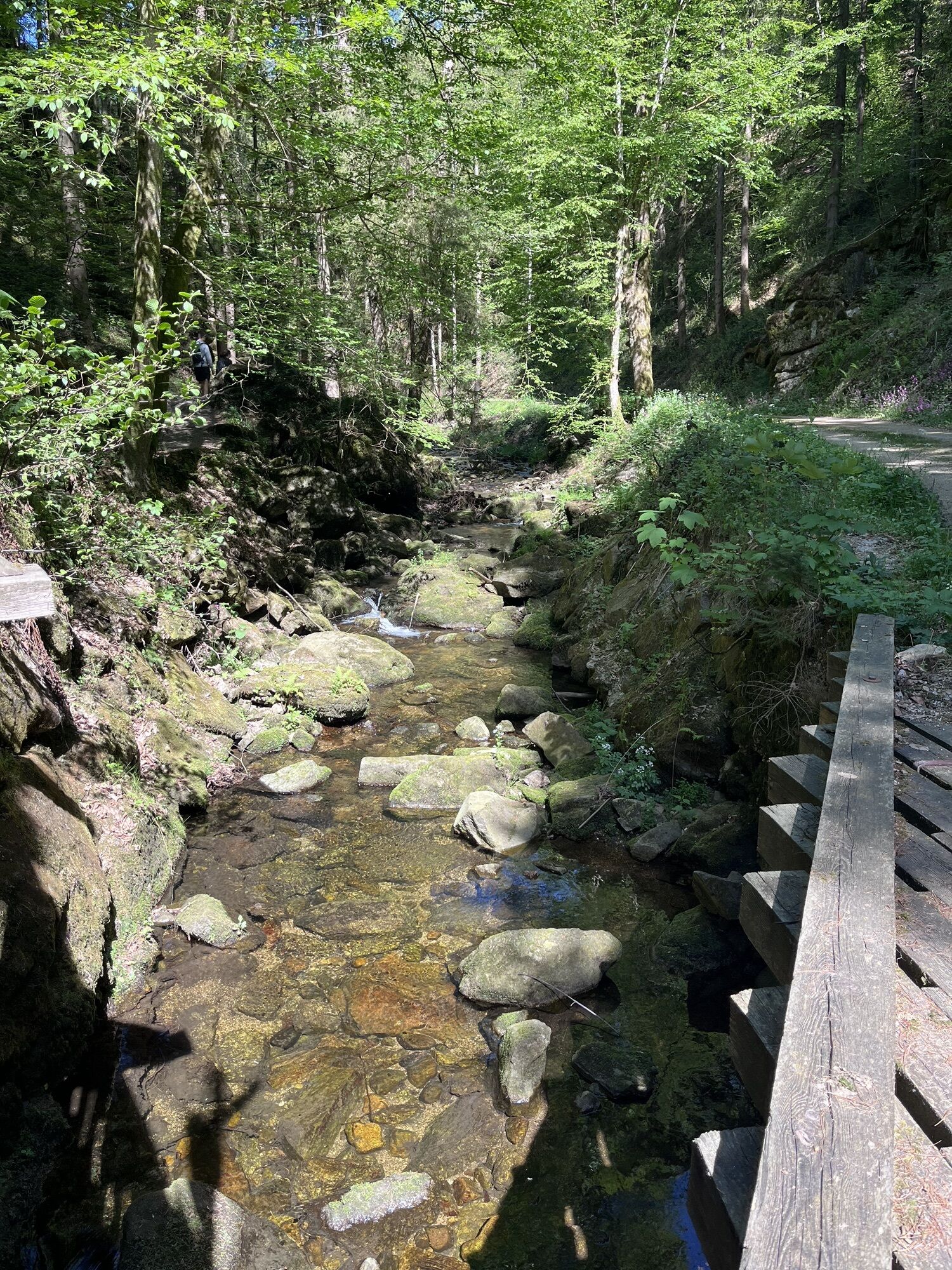
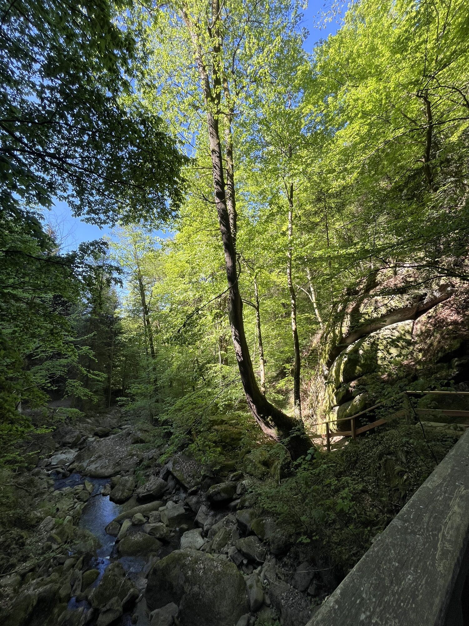
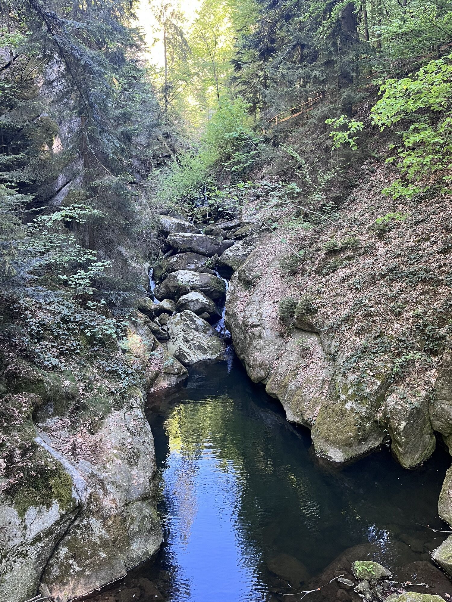
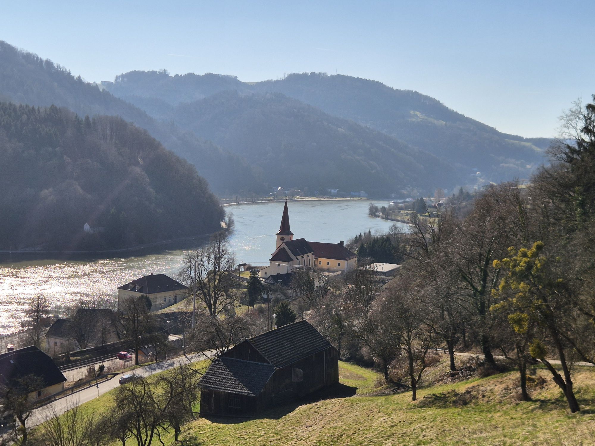
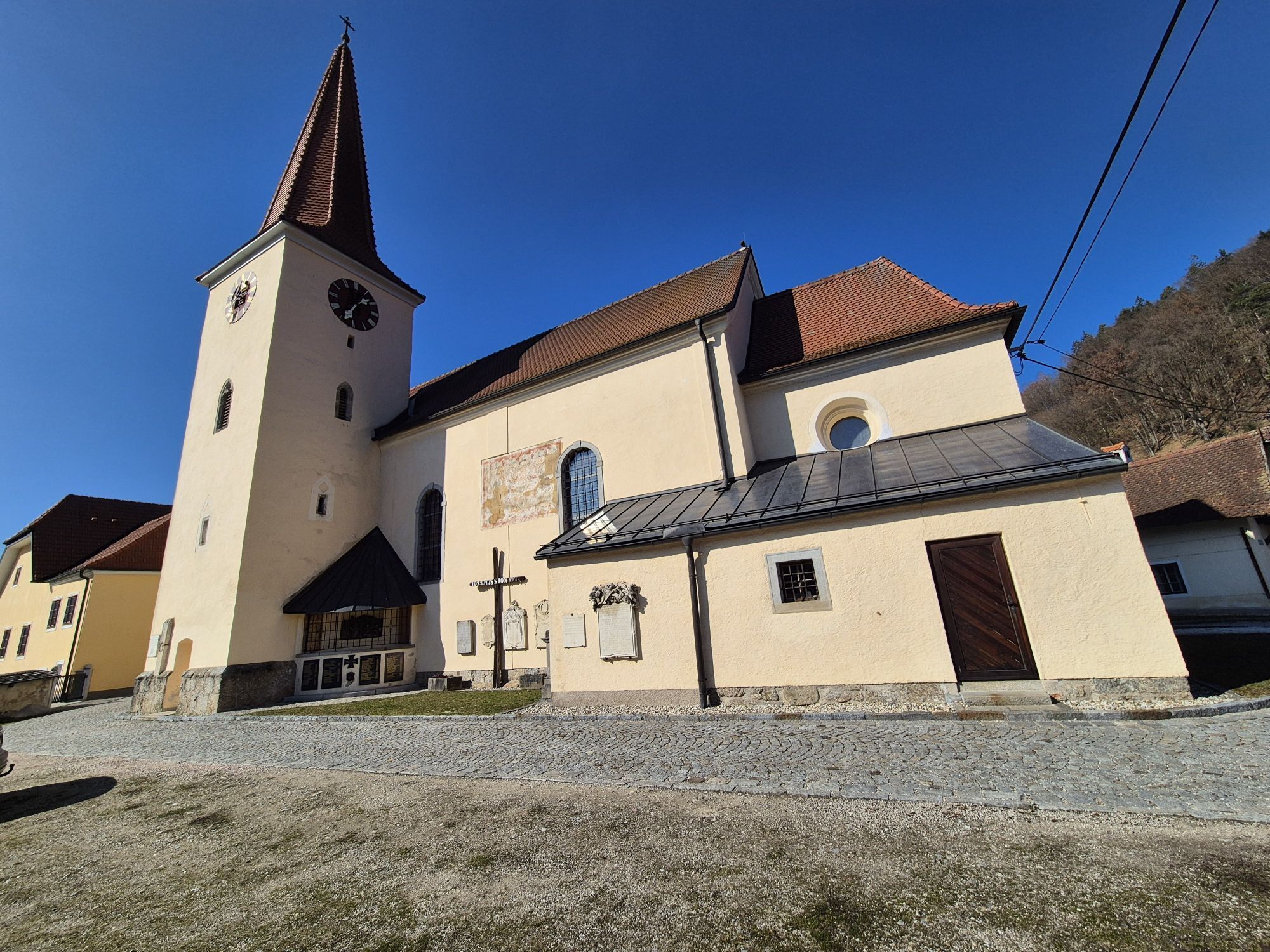
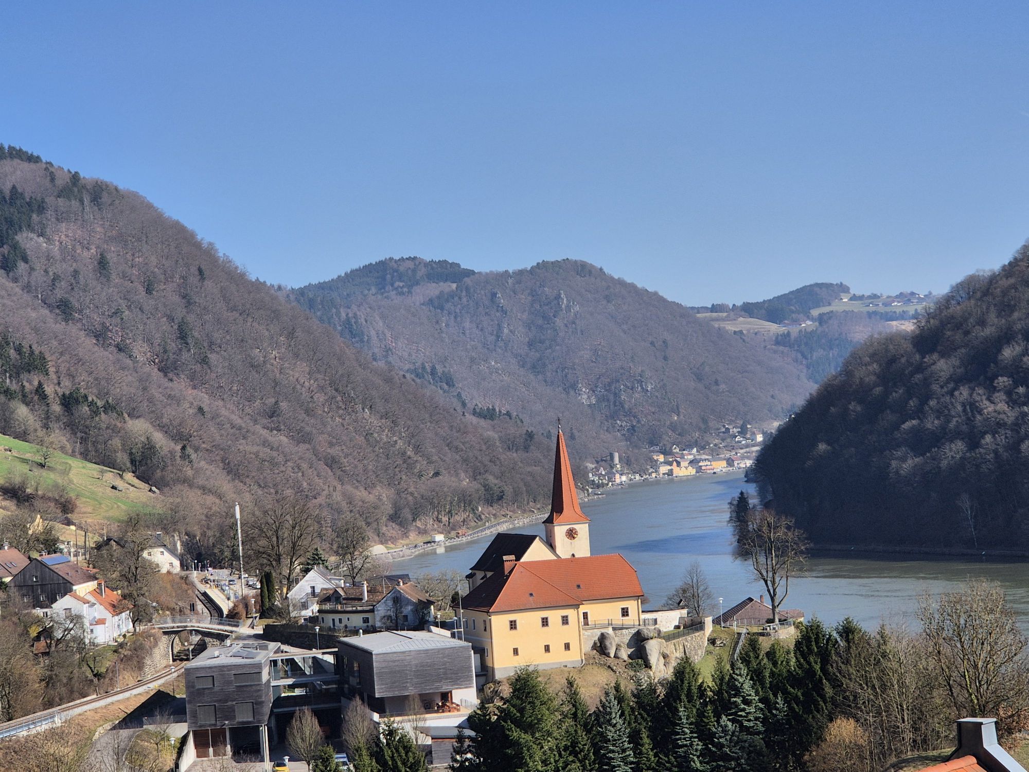
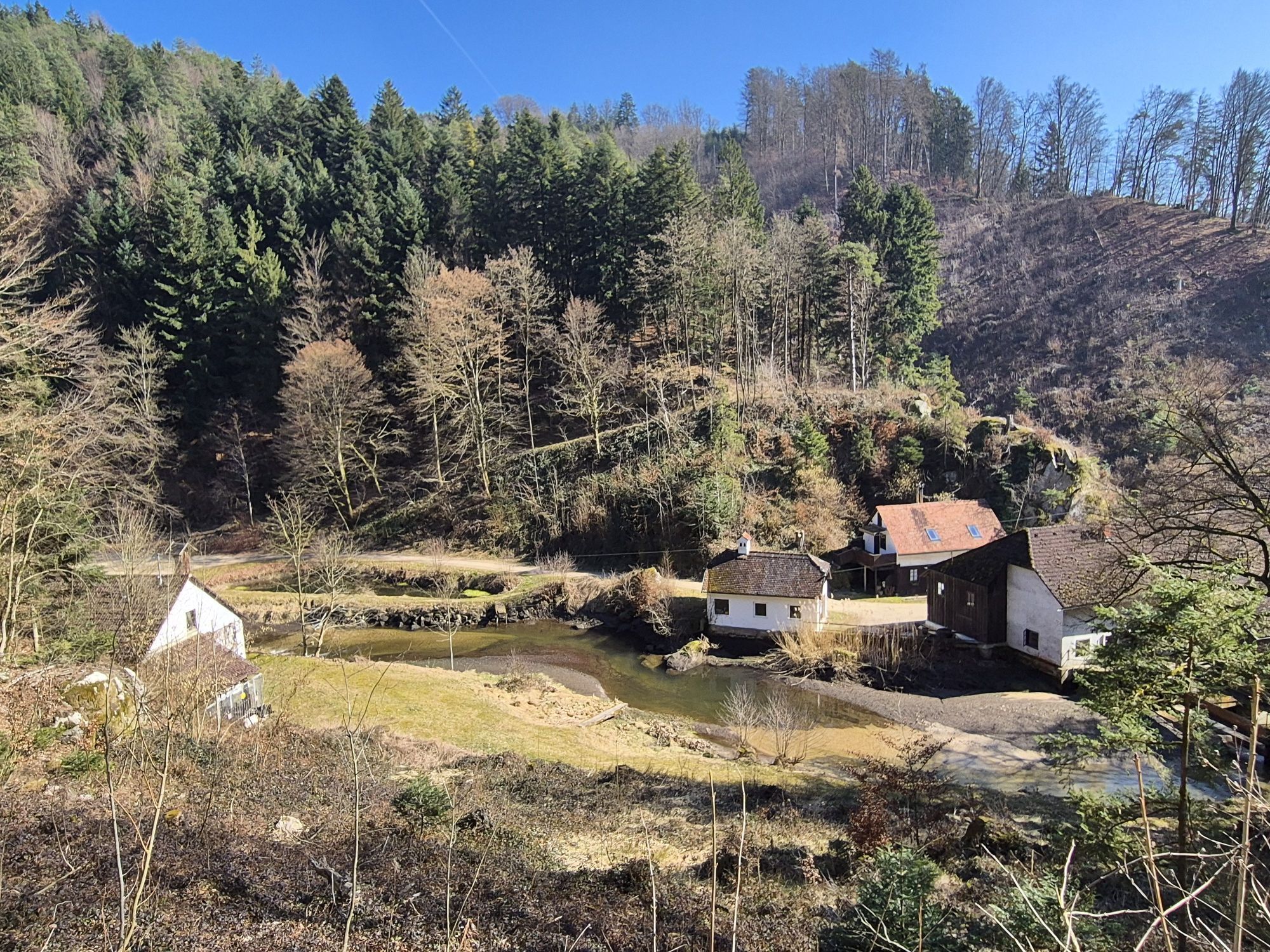
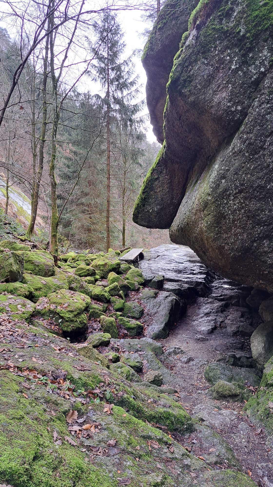
However, we leave the Danube immediately again and hike up through the wild romantic Stillensteinklamm. The quiet stream soon turns into splashing cascades and suddenly disappears under the Stone Chamber for about 300 m underground – a highlight! After this small detour, return briefly through the gorge. A little later we enjoy a hike high above the Danube through atmospheric mixed forests along the Danube valley. Sporadic glimpses down to the Danube stream let us imagine the once danger. In a forest clearing, the Donausteig rest area “Donaublick” invites us to linger and allows a view back to Gobelwarte, one of the seven Donausteig peaks! Historic forest paths lead us down into a settlement above Struden. In Struden were once the mightiest water whirlpools of the entire Danube run! From here, we go over scattered settlements further down to the Danube and reach St. Nikola via the old Danube road after a short uphill. St. Nikola is the place of the church of the patron saint of the boatmen. Here, the dangers of Strudengau were once overcome and it's time to show gratitude. From the Donausteig rest area below the church, we have a wonderful view back to the former danger spots!
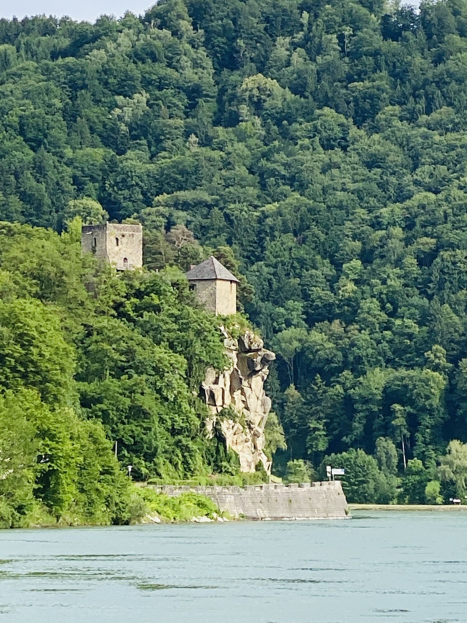
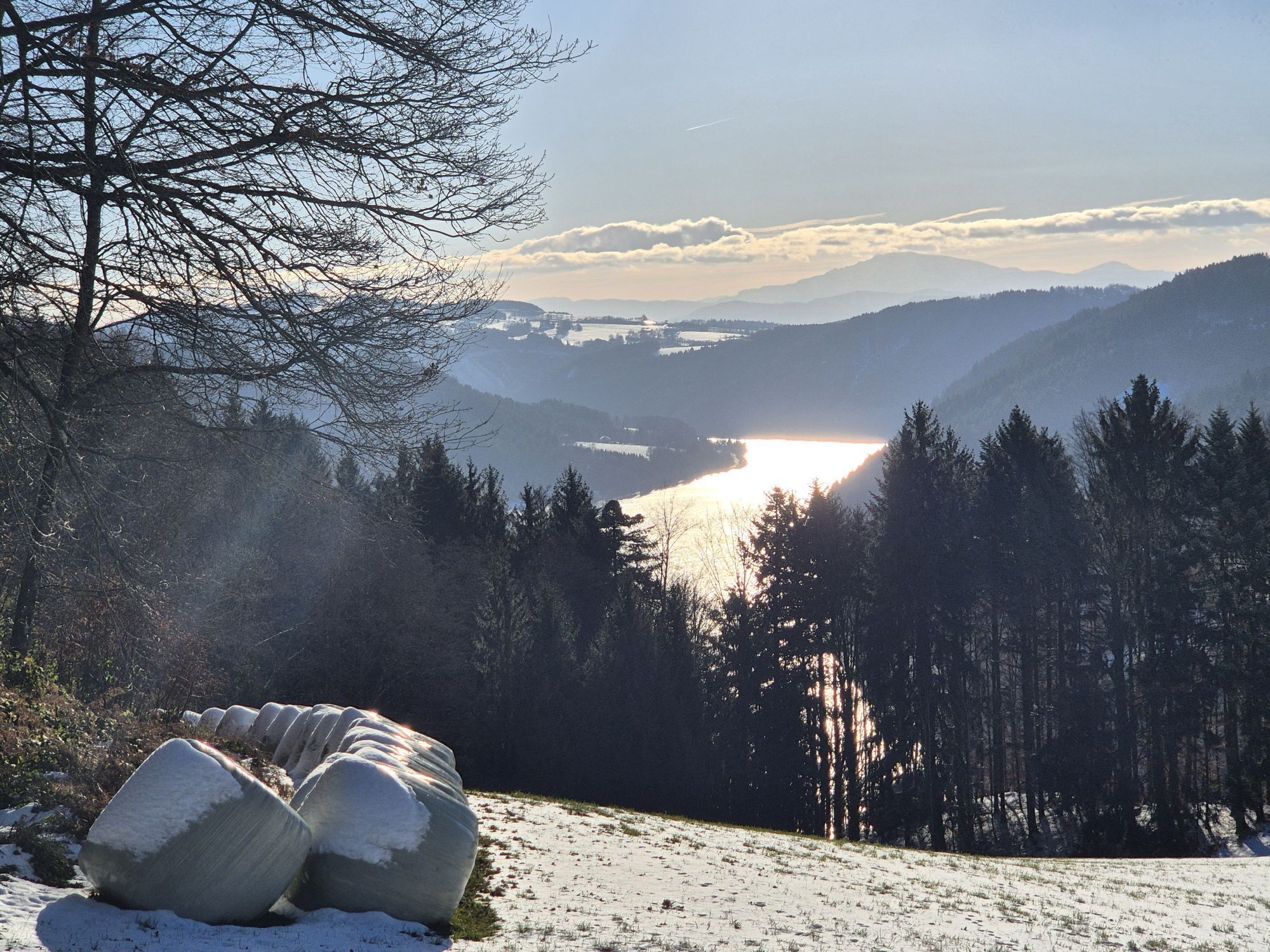
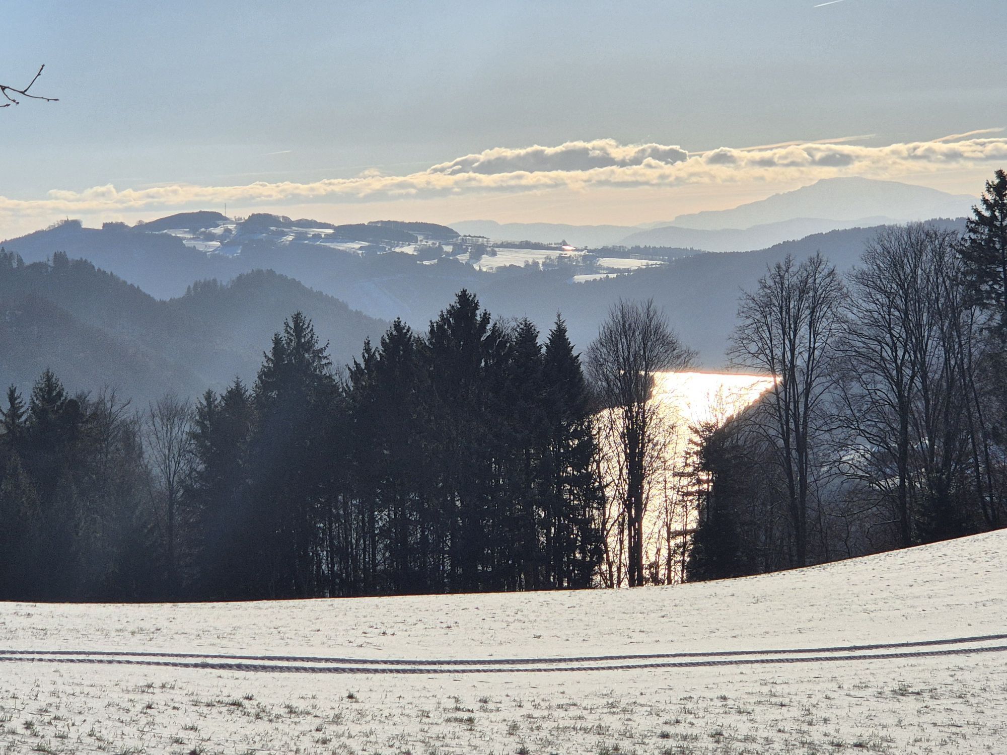
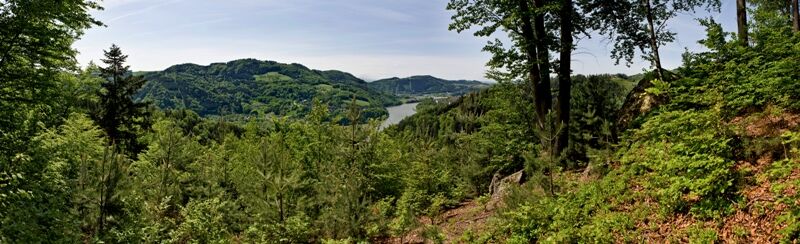
The last section of the route is an absolute hiking highlight! First, the ancient church path leads us up the valley slope through magnificent forest stands. Then we hike alone through atmospheric mixed forests along the Danube valley past individual meadows to the Moststation Kleinleitner. Here opens a magnificent view far beyond the end of the wild Strudengau – up to the Ötscher! After a wonderful descent, we reach the historic Danube village of Sarmingstein past the historically significant Säbnich Castle, the end of Strudengau. Simply amazing!
Discover the following special features with the Donausteig diary:
- Grein - the gateway to Strudengau
- Donausteig starting point “Grein”
- Greinburg Castle - the oldest castle north of the Alps?
- Halterkreuz-Votive and warning
- Kalvarienberg granite gallery
- Donausteig viewpoint “Grein”
- Werfenstein Castle toll or chain
- Wörth Island - rapids and rock blocks
- ...
Download: Donausteig diary stage 4_G06 Grein-Sarmingstein

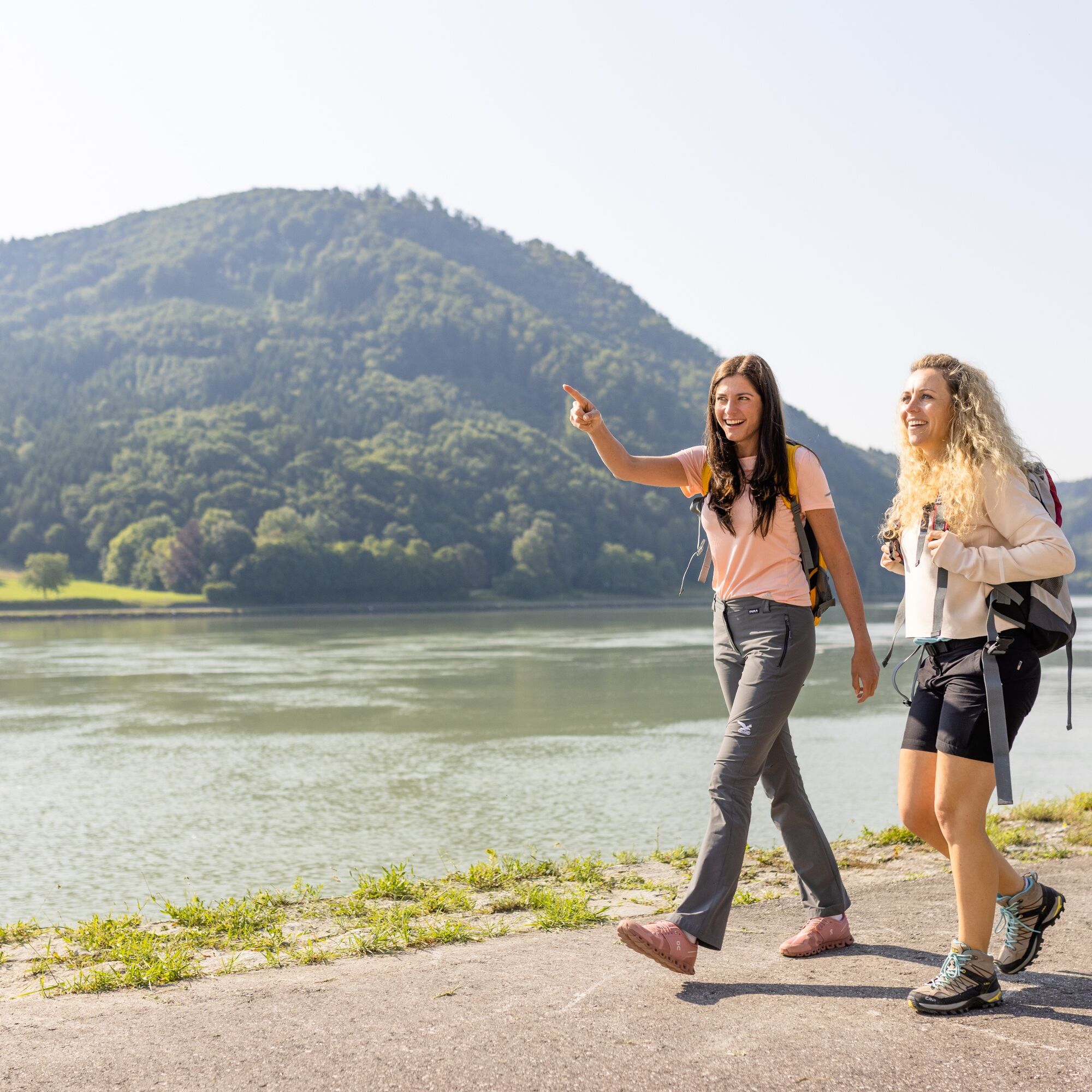
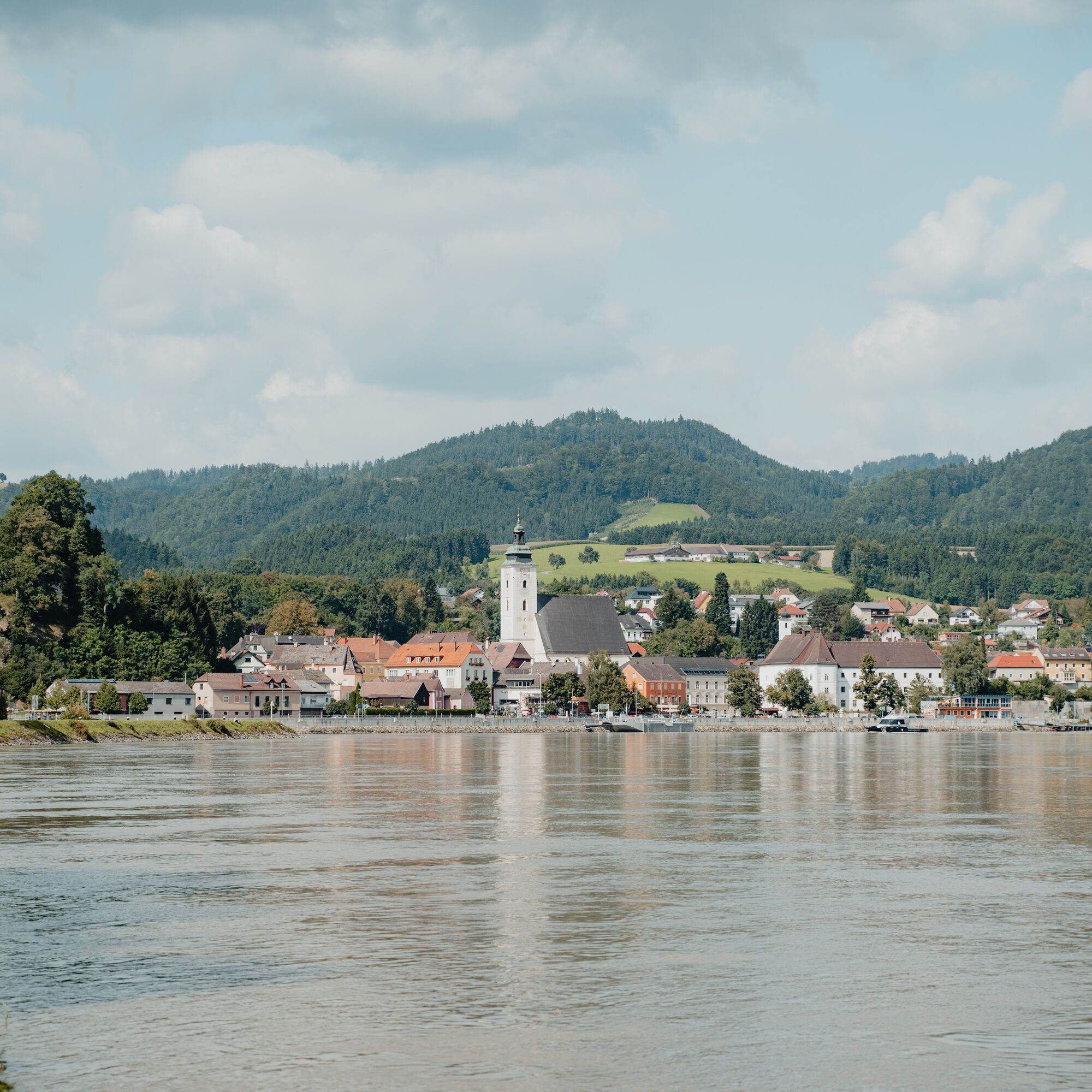
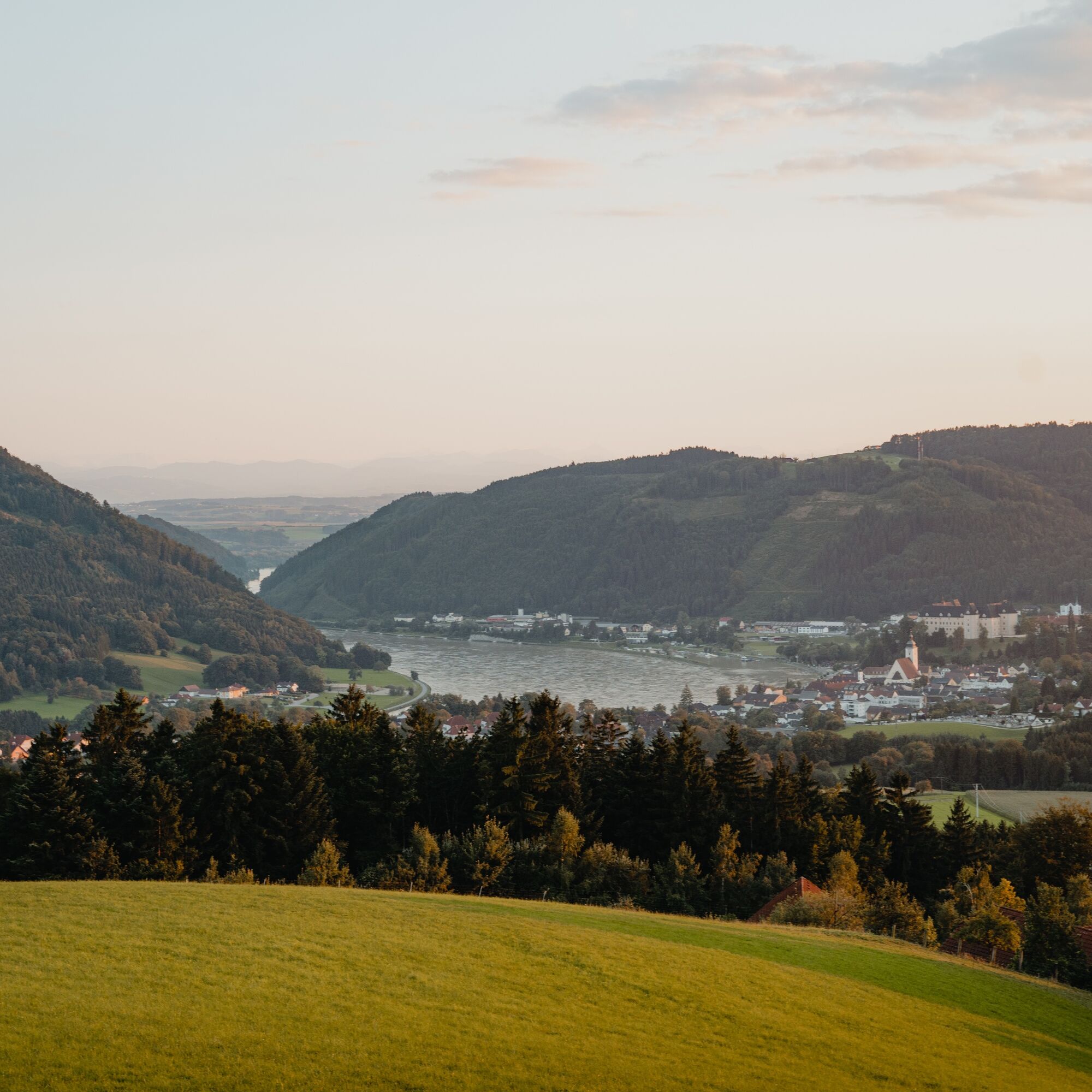
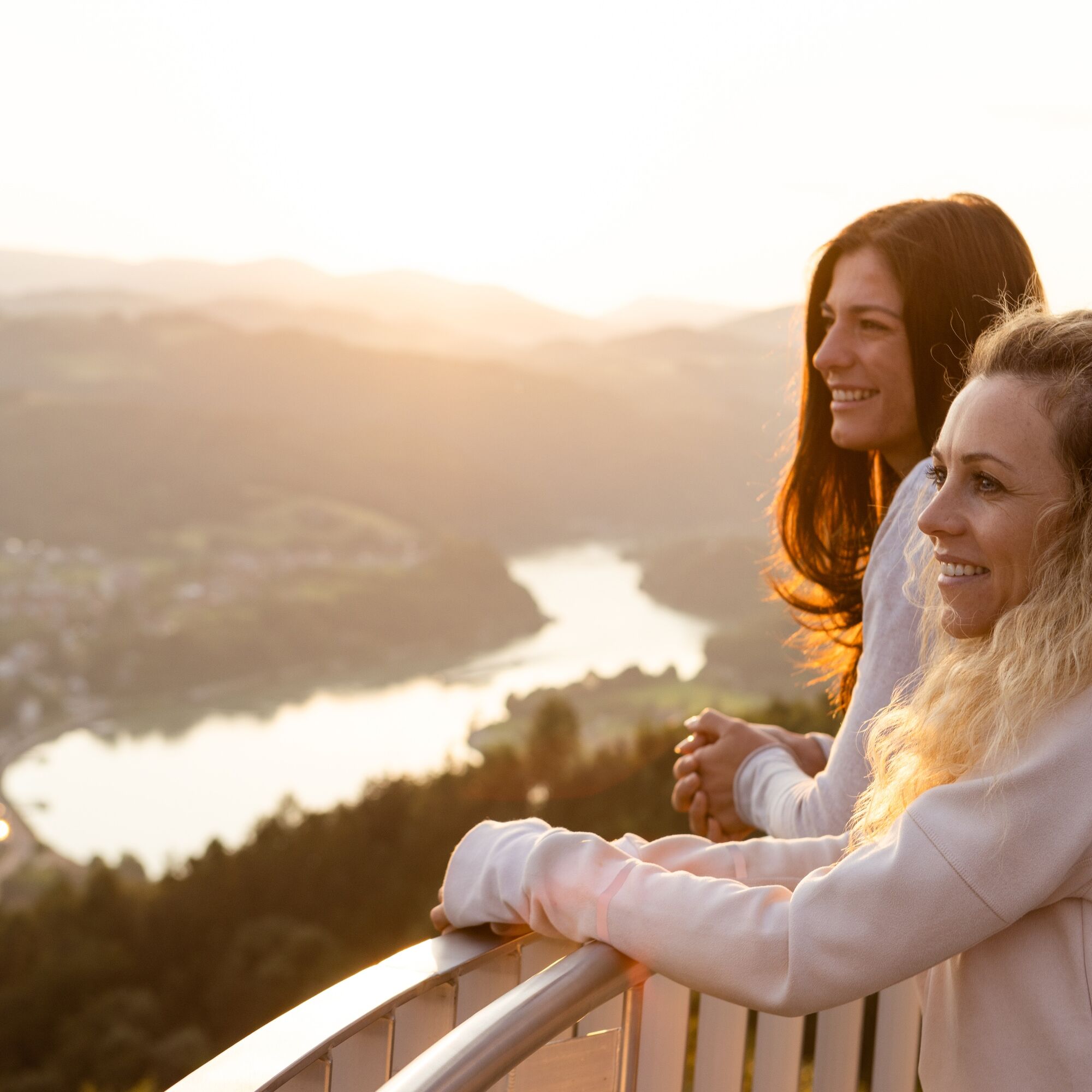


From the Donausteig starting point in Grein, we walk along the Danube riverside downstream to the large intersection at the edge of the village (to the right of which stands the Halterkreuz on a small Danube rock). There, turn left and immediately right onto a footpath between the houses uphill. The footpath leads into Jubiläumsstraße, which we follow. At the railway underpass, a short detour to the right to the Donausteig viewpoint or the granite gallery on the Kalvarienberg is recommended. After the railway underpass, at the next intersection, we follow Wienerweg through a residential area – first straight uphill, later in a left curve downhill. At the asphalt road from the Danube valley, we turn right downhill towards the Danube. Shortly after, the “Zufahrt Ramersböck” branches off to the left. We keep left uphill on this. Before the Ramersböck farm, the Donausteig takes a hairpin turn and now follows a field path further uphill. Through forest-rich forest roads, after a longer walk, we reach three granite rocks with petroglyphs and a view of Werfenstein Castle. Now right through the forest downhill to the Gießenbachmühle on the Danube. From the Donausteig starting point “St. Nikola/Gießenbachmühle,” we initially hike over forest roads, then over idyllic hiking trails up the romantic Stillensteinklamm – up to the Stone Chamber. Shortly back through the gorge, then forest paths lead higher up the valley slope. Afterwards, we walk along a pleasant forest path past the Donausteig rest area “Donaublick” to a settlement above Struden (signpost with a junction to Werfenstein Castle). Here we follow the asphalt road first left uphill and after 250 m at the next intersection right downhill – St. Nikola is in view. After a right curve, the Donausteig turns sharply left opposite an old factory building. A footpath leads via a bridge over the Danube riverside railway, further through rows of houses down to the Danube. Now under the railway bridge, over the Dimbach and the old cobblestone street uphill to the Danube farm in St. Nikola. A short detour takes us from here to the St. Nikola church and the Donausteig rest area “Kirchenplatz” behind it. To continue, we circle the Danube farm on the north side. At the next intersection, first left and then immediately right again. We follow the asphalted service road uphill towards the “Sattl Moststation” to the next curve. There, the Donausteig turns left and follows a wonderful forest path – first rapidly uphill, then enjoyably along the Danube valley slope – up to the Moststation Kleinleitner. We leave the following short asphalt section again after a hairpin turn to the left over a meadow. An atmospheric forest path takes us down to Sarmingstein. Arriving at the railway tracks, we follow a footpath to the left of them and hike past the round tower of Säbnich Castle to the houses on the Sarmingbach. There, to the right, we reach the Donausteig starting point “Sarmingstein” at the Strudengauhof inn.
To make orientation easier for you, the Donausteig has been equipped with its own orientation system – the description can be found here.
Ano
Ano
In addition to personal hiking equipment, there are no special requirements. However, note that it is a long and strenuous stage!
The car parks at the Danube riverside are mostly short-term parking zones, as is the town center. Two free long-term parking lots are about a 10-minute walk away (parking lot at the “Stadt Grein” train station; parking lot opposite the campsite on the southern access road to the town).
WGD Donau Oberösterreich Tourismus GmbH
Lindengasse 9
4040 Linz, Austria
Tel. +43(0)732/7277-800
Fax. +43(0)732/7277-804
info@donausteig.com
Tourism Association Grein/Donau
Stadtplatz 7
4360 Grein
Tel./Fax: +43(0)7268/7055
info.grein@oberoesterreich.at
www.oberoesterreich.at/grein
Tourism Association St. Nikola
4381 St. Nikola/Donau
Tel.: 0043(0)69913030422
tourismus@struden.at
www.sankt-nikola.at
www.oberoesterreich.at/st.nikola.donau
The “Upper Austrian Shipping Museum” is practically a must for every Donausteig hiker! It vividly opens up the world of historical Danube shipping and the use of Danube tributaries.

 Získejte přehled Vždy živě na místě s více než 9 500 webkamerami. bergfex Jako uživatel Pro si nyní můžete zobrazit odpovídající webové kamery pro mnoho prohlídek v aplikaci prohlídky z. Můžete si tak přímo prohlédnout aktuální podmínky.
 Oblíbené prohlídky v okolí
- 4,6
Waldhausen: Outlook circuit
středníTuristika 14,0 km - 4,7
Stillensteinklamm, Grein
světloTuristika 10,4 km - 4,9
Stillensteinklamm Rundweg über Struden
světloTuristika 12,6 km - 4,1
Wolfsschlucht - auf den Spuren adeliger Kurgäste
Turistika 2,29 km - 4,4
Gobelwarte - Grein, Oberösterreich
středníTuristika 5,41 km - 4,4
Gobelwarte-Runde, Grein
středníTuristika 8 km - 4,6
Brandstetterkogel über Matras Steig
světloTuristika 6,28 km - 4,8
Herzsteinweg Ysper und Burgsteinmauer
středníTuristika 14,7 km - 4,0
Burgstall-Wanderweg Nr. 3
středníTuristika 11,8 km - 4,7
Die Blasenstein-Runde, Oberösterreich
středníTuristika 11,8 km
Pěší turistika a stopování


Nenechte si ujít nabídky a inspiraci pro vaši příští dovolenou
Vaše e-mailová adresa byl přidán do poštovního seznamu.





