







Backpacking Trip North of Sarlat
Úroveň obtížnosti: T1
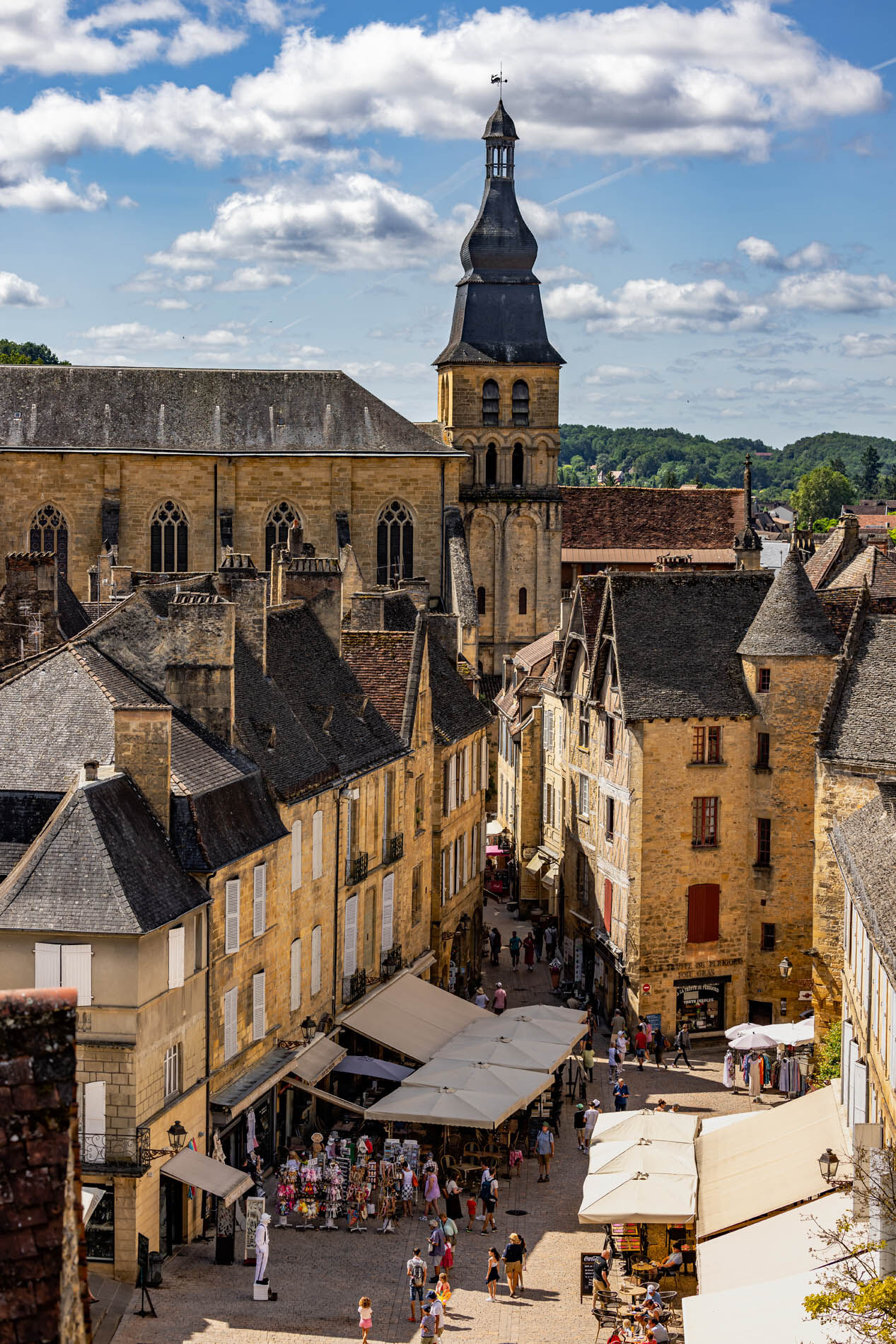
A five-day hiking trip starting in Sarlat to explore the iconic landscapes of the Périgord Noir, featuring unspoiled nature, charming villages, and remarkable heritage sites. Starting in Sarlat, this 5-day...
A five-day hiking trip starting in Sarlat to explore the iconic landscapes of the Périgord Noir, featuring unspoiled nature, charming villages, and remarkable heritage sites. Starting in Sarlat, this 5-day backpacking hike invites you to explore the varied landscapes of the Périgord Noir along a 72-km route with nearly 2,000 meters of elevation gain. Amid wooded valleys, sunken paths, charming villages, and sweeping panoramic views, each stage offers a gradual immersion into this unspoiled region. You’ll pass through Saint-André-d’Allas, Marquay, Tamniès, and Proissans, among others, while walking alongside rivers, ponds, and iconic sites such as the Cabanes du Breuil and the Château de Commarque. Suitable for regular hikers, this route alternates between easy sections and more challenging stretches. 15.5 km


In case of an emergency, dial 112
Consider carpooling
Per i vostri spostamenti, preferite i mezzi pubblici
Parking near the starting point
T1
Sarlat Périgord Noir Tourist Office www.sarlat-tourisme.com
No markup https://cdt64.media.tourinsoft.eu/upload/Sarlat-rando-en-itinerance-nord-2-1.pdf
Oblíbené prohlídky v okolí
- 5.0
Boucle de la Turançonnaise n°14 / La Chapelle Aubareil
středníTuristika 9.42 km - 5.0
Boucle de la Ferrassie n° 26 / Savignac de Miremont
světloTuristika 7.46 km Boucle La Salamandre
světloTuristika 5.57 kmBoucle La Combe du Loup
světloTuristika 12.9 kmTrail de la Vallée
středníTrailrunning 14.9 kmBoucle de la Fontaine des Graves
středníTuristika 8.99 kmBoucle Promenade de Lascaux n° 17 / Montignac
středníTuristika 6.95 km- 5.0
Boucle de la Forêt Sud / de la Marquise n° 4 / Campagne
světloJízda na koni 3.87 km - 5.0
Boucle de l'Albaroise n° 15 / La Chapelle Aubareil
středníJízda na koni 9.86 km Boucle de Saint Quentin
středníTuristika 14.0 km
Pěší turistika a stopování


Nenechte si ujít nabídky a inspiraci pro vaši příští dovolenou
Vaše e-mailová adresa byl přidán do poštovního seznamu.





