
Circuit Pédestre N°56 : "Sentier de découverte des Champs de pierres et cascades d'Augerolles"
střední
Pořiďte si tuto prohlídku do mobilního telefonu
Circuit Pédestre N°56 : "Sentier de découverte des Champs de pierres et cascades d'Augerolles"
střední
Turistika
2.60
km
Naskenujte QR kód a spusťte navigaci v aplikaci bergfex.


Pěší turistika a stopování





Circuit Pédestre N°56 : "Sentier de découverte des Champs de pierres et cascades d'Augerolles"
střední
Vzdálenost
2.60
km
Doba trvání
00:55
h
Ascent
66
hm
Hladina moře
521 -
601
m
Stažení skladby
Circuit Pédestre N°56 : "Sentier de découverte des Champs de pierres et cascades d'Augerolles"
střední
Turistika
2.60
km
At the gateway to the Millevaches plateau, let yourself be taken on a walk with explanatory panels, to discover a 50-hectare listed natural site: the Augerolles waterfalls, where you can discover the cut...
Popis
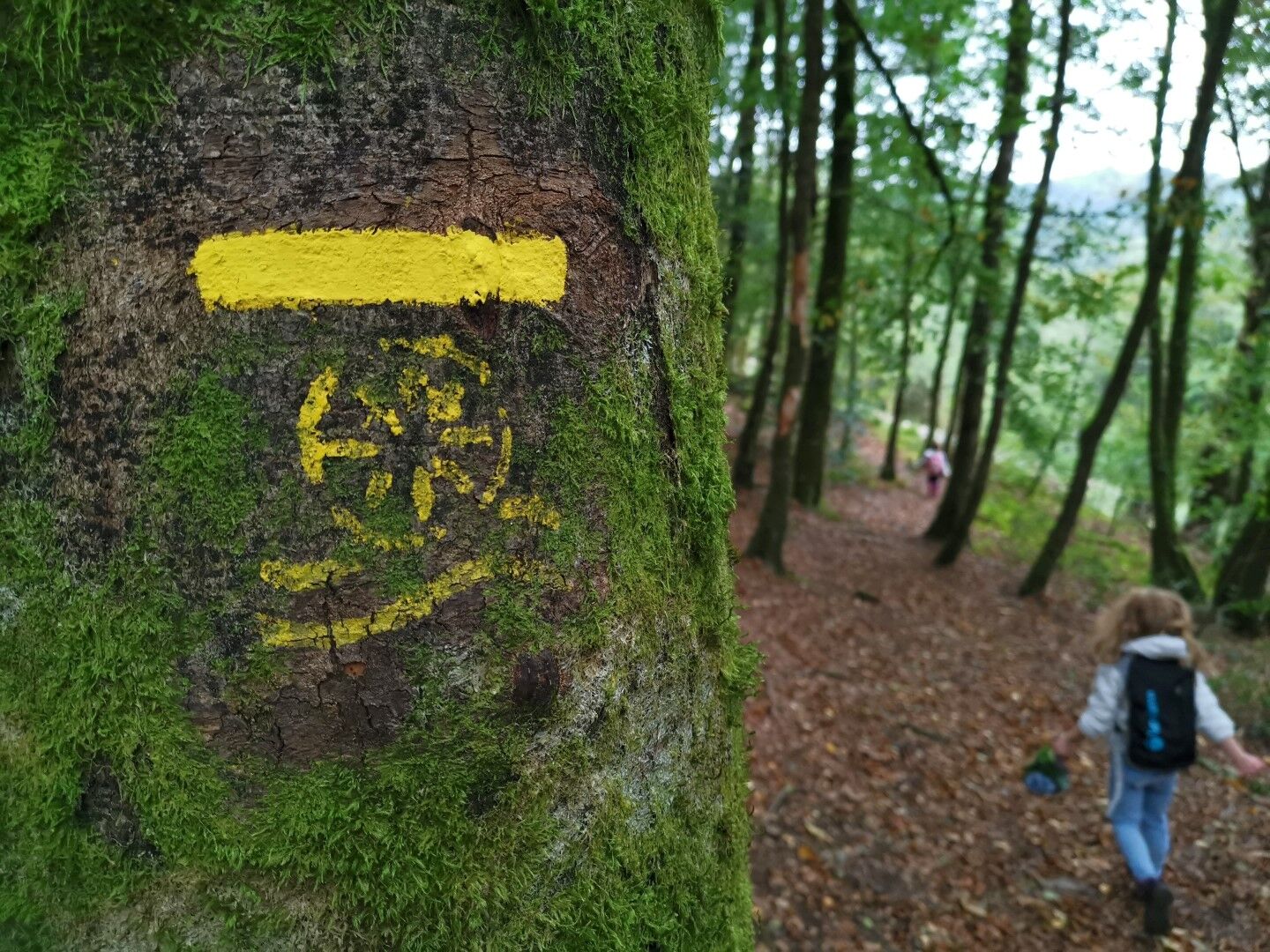
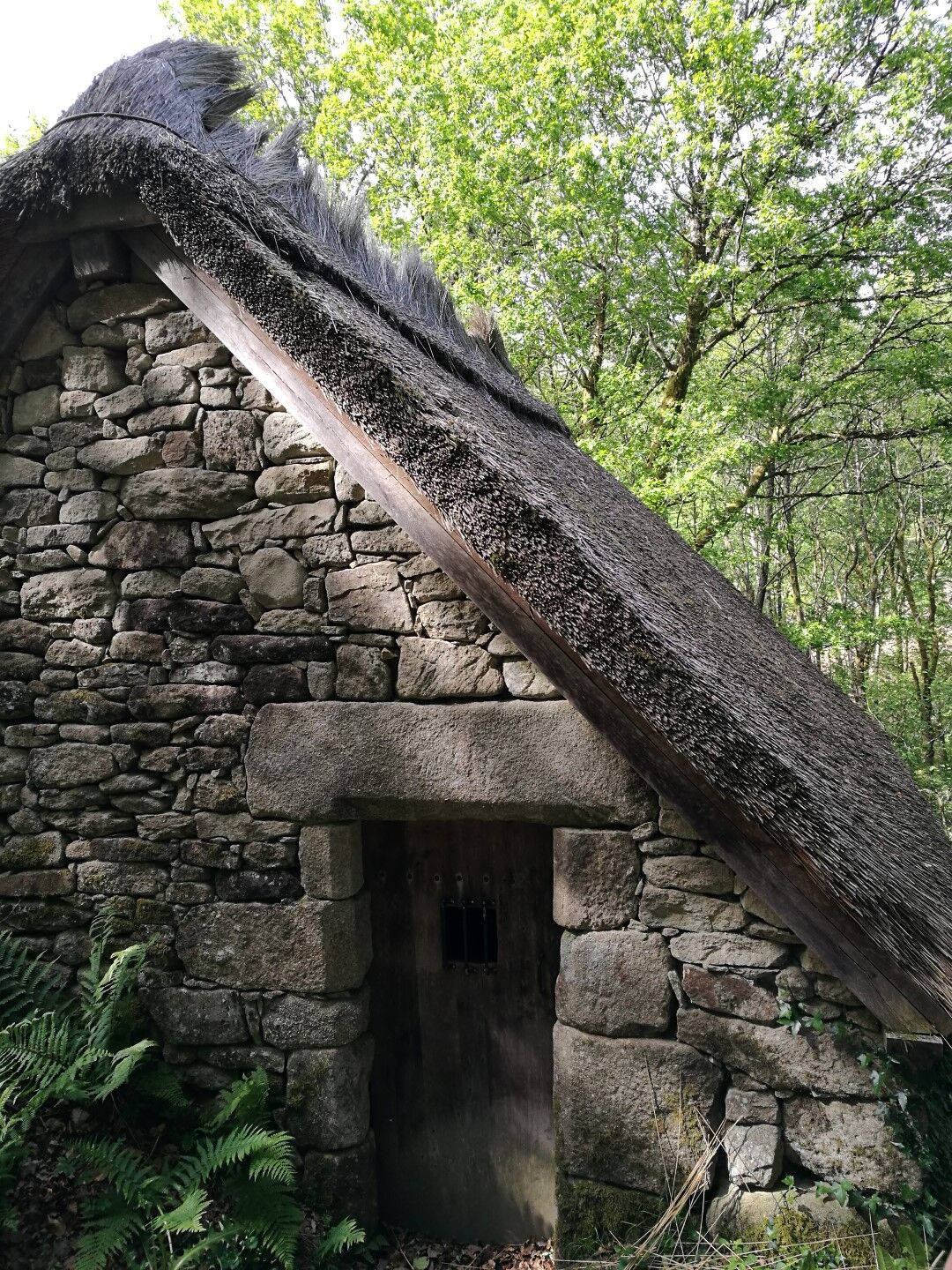
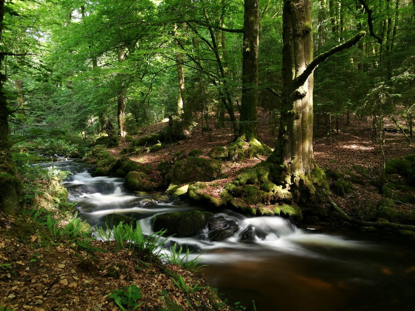
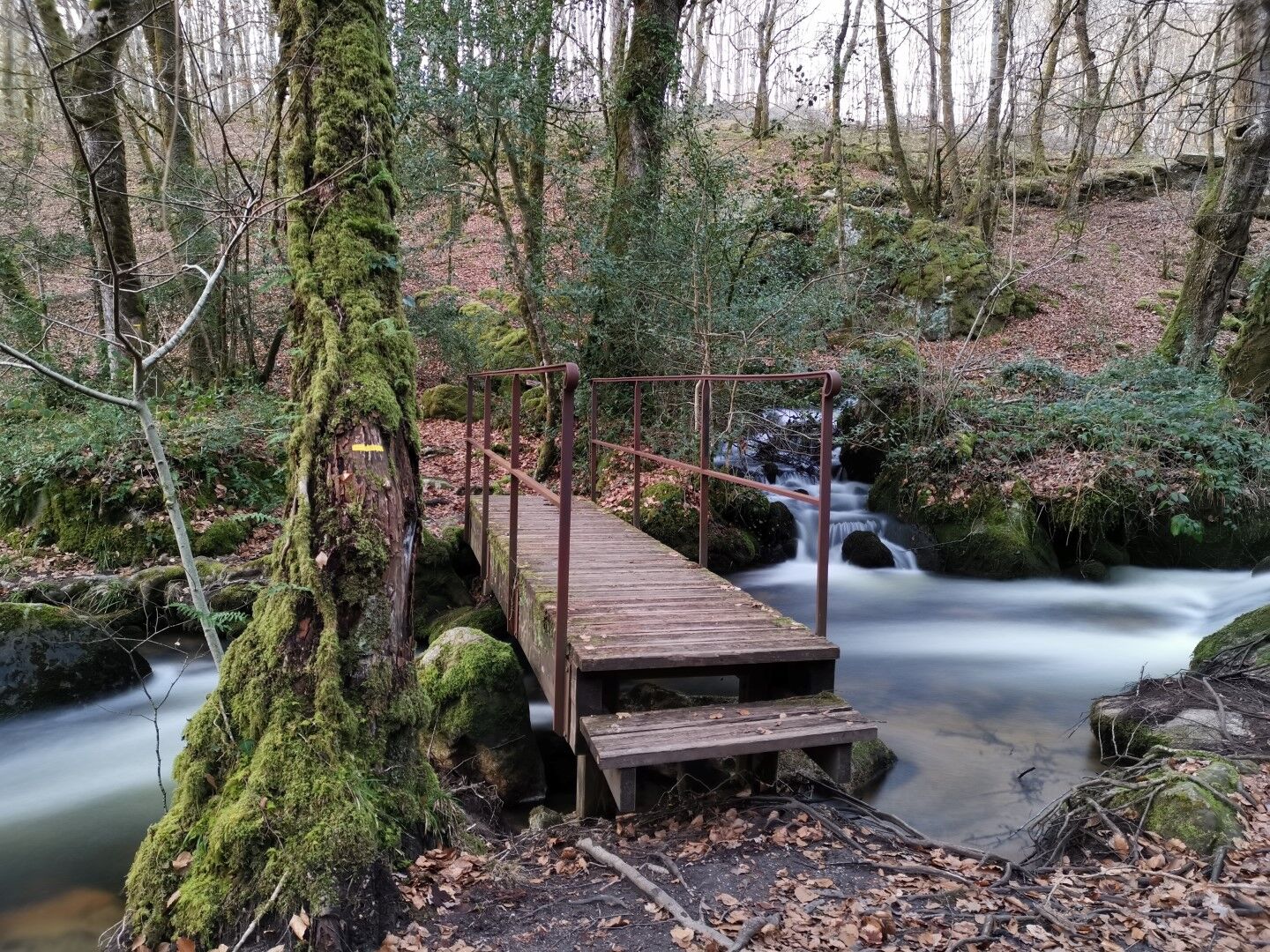
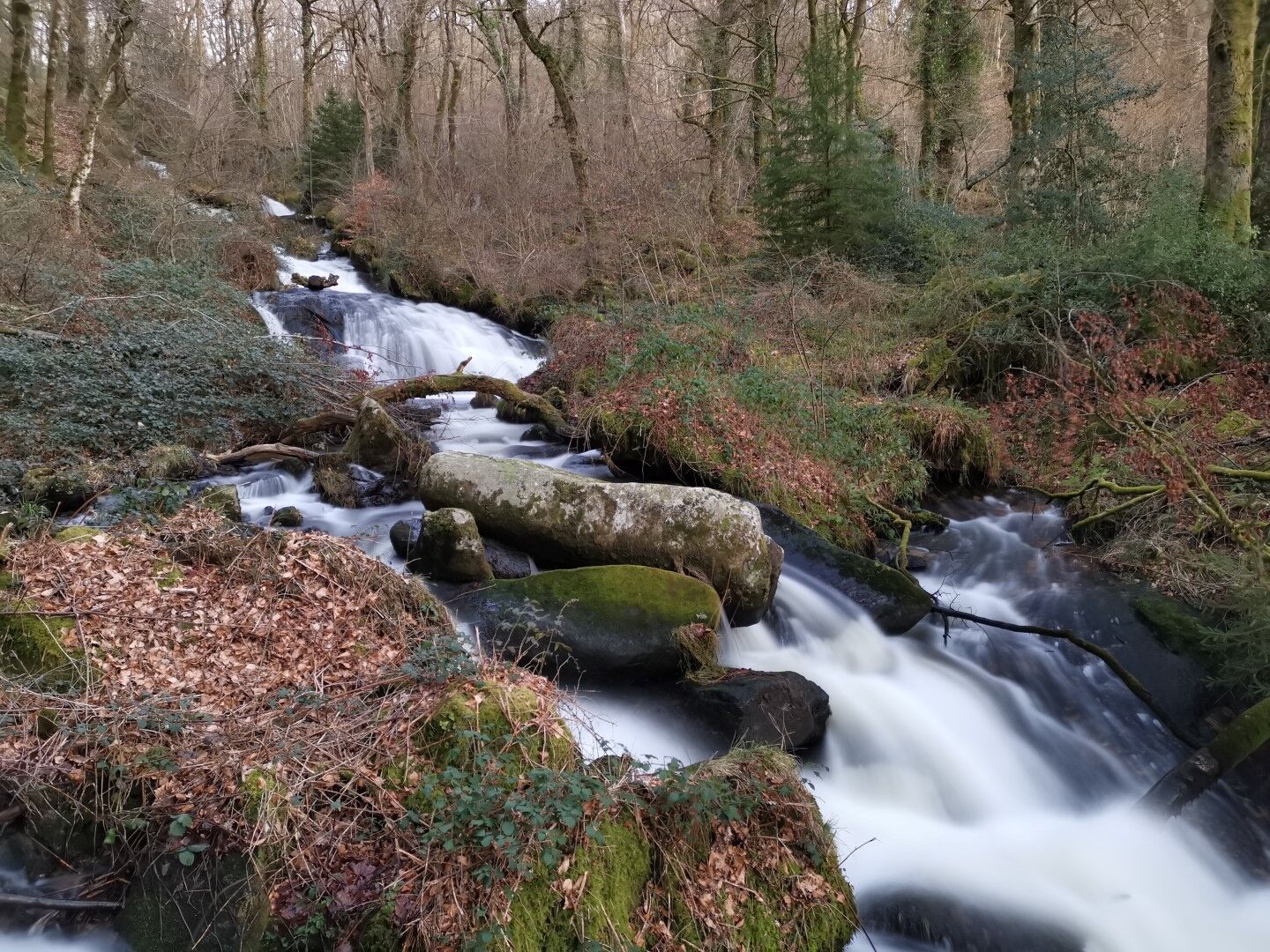
At the gateway to the Millevaches plateau, let yourself be taken on a walk with explanatory panels, to discover a 50-hectare listed natural site: the Augerolles waterfalls, where you can discover the cut granite bridge-plates, the Augerolles mill, and the Champs de Pierres: imposing chaos of balls and blunt boulders formed during the Ice Age, which shape the wooded landscape and line the waterfalls.
Trasa
Trasa
Circuit Pédestre N°56 : "Sentier de découverte des Champs de pierres et cascades d'Augerolles"
střední
Turistika
2.60
km
Autor
Poskytuje Tourisme Creuse


Informace o trase
Vhodné pro invalidní vozíky
Ano
Další informace a tipy
Další informace
OT Creuse Sud Ouest https://www.tourisme-creuse.com/creuse-sud-ouest/
Zatím žádné recenze
Oblíbené prohlídky v okolí
-
Shoreline path of Vassivière lake
středníTuristika 26.0 km -
Lake Vassivière lakeside path
světloMountainbike 26.0 km -
The moors and peat bogs of the Mazure
světloTematická stezka 7.41 km -
Circuit Pédestre N°21 CC : "Sentier de découverte de la Rigole du Diable"
světloTuristika 2.91 km -
GR de Pays "Cascades, landes et tourbières" GRP65
heavyJízda na koni 67.1 km -
Tour du lac de Vassivière, "Sentier de rives"
středníJízda na koni 25.9 km -
La Vélidéale in Creuse: Royère-de-Vassivière / Bujaleuf
světloCyklistika na velkou vzdálenost 35.0 km -
Sentier d'interprétation des pierres fades
světloTuristika 3.14 km -
Bike loop 50 - Saint-Dizier-Leyrenne and the Thaurion valley
středníSilniční kolo 19.1 km -
The heathland of Puy de la Croix
světloTematická stezka 2.16 km
Pěší turistika a stopování

Více než 550.000 návrhů výletů, podrobné mapy a intuitivní plánovač tras dělají z aplikace nezbytnou výbavu pro všechny milovníky přírody.

Nenechte si ujít nabídky a inspiraci pro vaši příští dovolenou
Přihlaste se k odběru newsletteru
Chyba
Došlo k chybě. Zkuste to prosím znovu.
Děkujeme za vaši registraci
Vaše e-mailová adresa byl přidán do poštovního seznamu.
Zájezdy po celé Evropě
Rakousko
Švýcarsko
Německo
Itálie
Slovenia
Francie
Nizozemsko
Belgie
Polsko
Lichtenštejnsko
Česko
Slovensko
Španělsko
Chorvatsko
Bosna a Hercegovina
Lucembursko
Andorra
Portugal
Iceland
United Kingdom
Ireland
Greece
Albania
North Macedonia
Malta
Norway
Montenegro
Moldova
Kosovo
Hungary
San Marino
Romania
Estonia
Latvia
Belarus
Cyprus
Lithuania
Serbia
Bulgaria
Monaco
Denmark
Sweden
Finland





