
Randonnée en écomobilité entre Saint-André-de-Cubzac et Blaye sur le GR® 655
střední
Pořiďte si tuto prohlídku do mobilního telefonu
Randonnée en écomobilité entre Saint-André-de-Cubzac et Blaye sur le GR® 655
střední
Turistika
34.35
km
Naskenujte QR kód a spusťte navigaci v aplikaci bergfex.


Pěší turistika a stopování




Randonnée en écomobilité entre Saint-André-de-Cubzac et Blaye sur le GR® 655
střední
Vzdálenost
34.4
km
Doba trvání
08:31
h
Ascent
276
hm
Hladina moře
3 -
72
m
Stažení skladby
Randonnée en écomobilité entre Saint-André-de-Cubzac et Blaye sur le GR® 655
střední
Turistika
34.35
km
This 35 km itinerary, which can be completed over two days, takes you from Saint-André-de-Cubzac to Blaye, with an overnight stop in Bourg-sur-Girondebourg-sur-Gironde for the night.On the GR®655, you...
Popis
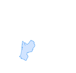
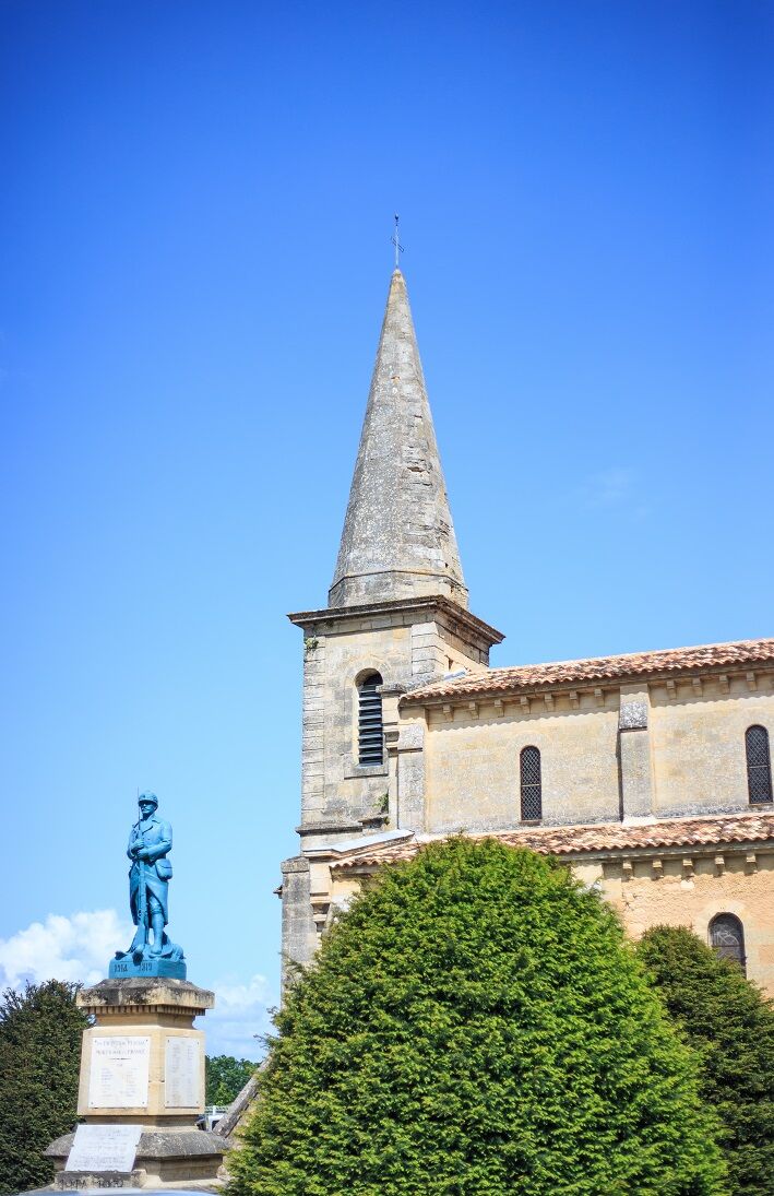
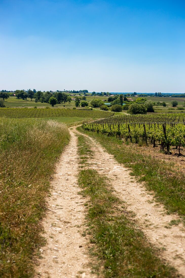
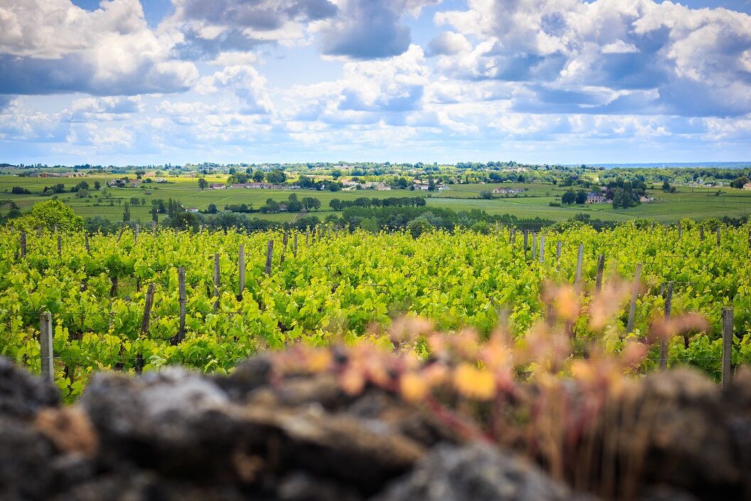
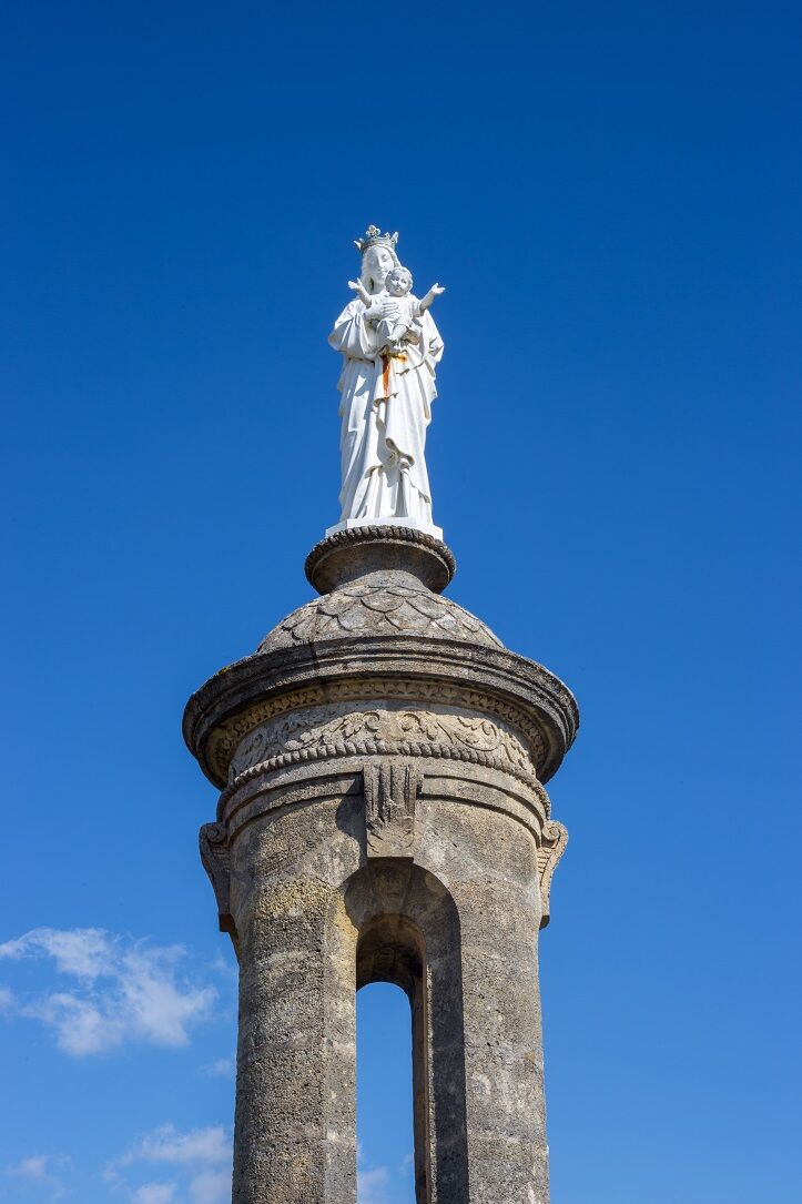
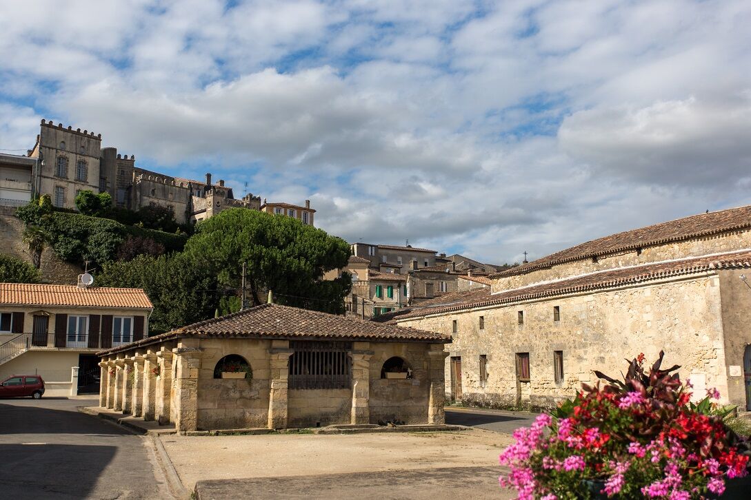
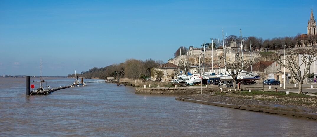
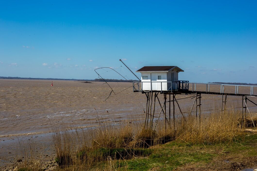
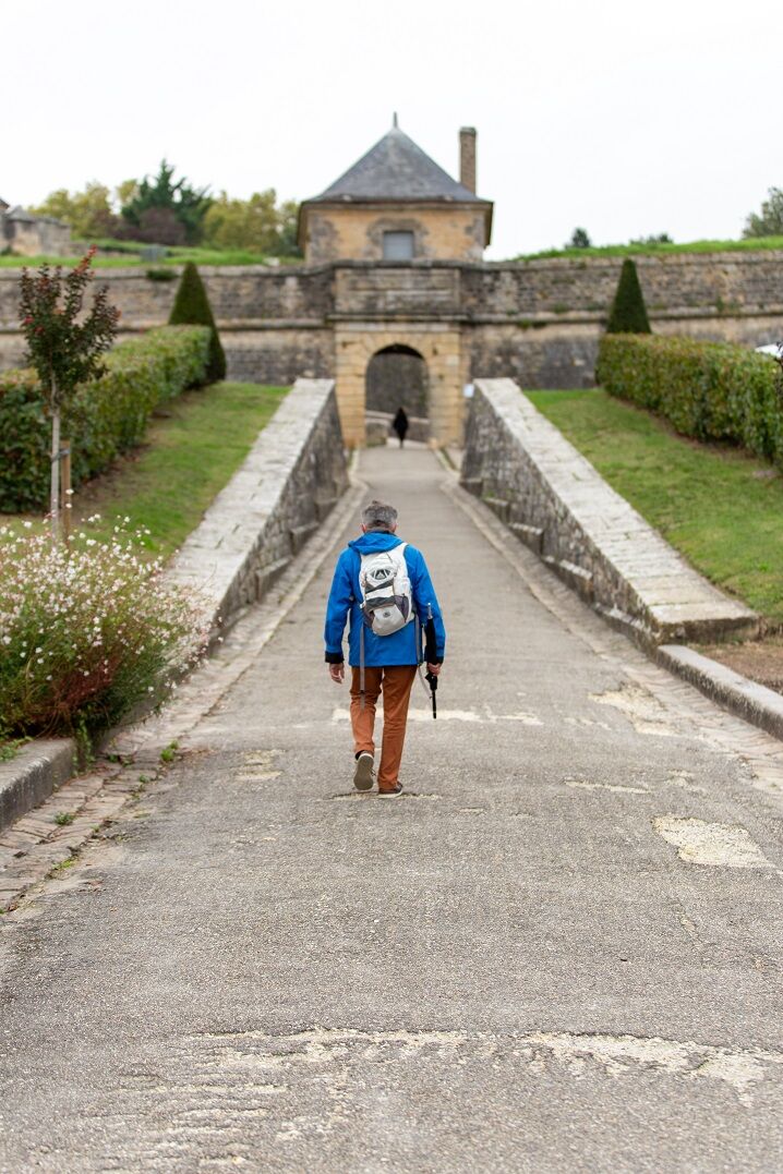
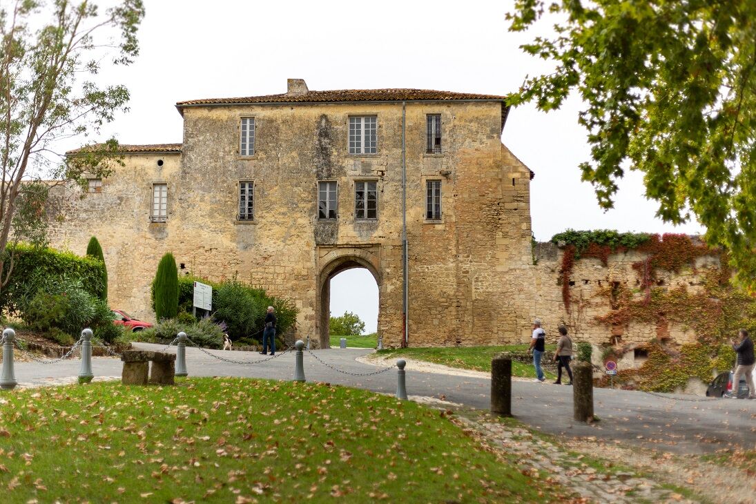
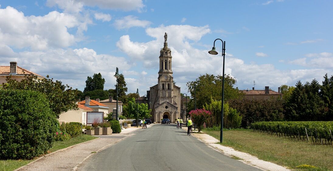
This 35 km itinerary, which can be completed over two days, takes you from Saint-André-de-Cubzac to Blaye, with an overnight stop in Bourg-sur-Gironde bourg-sur-Gironde for the night. On the GR®655, you can contemplate the banks of the Dordogne, the Gironde Estuary and its numerous harbours and atypical carrelets, as well as the Moorish-style houses of Bourg, its château, church and washhouse, before rising above the vineyards to reach the splendid and famous citadel of Blaye.
This route is proposed by the Comité Régional de Randonnée Pédestre. Departing from a train station or TER bus stop, it allows you to join a walking or hiking itinerary, and take a stroll in ecomobility!
This route is proposed by the Comité Régional de Randonnée Pédestre. Departing from a train station or TER bus stop, it allows you to join a walking or hiking itinerary, and take a stroll in ecomobility!
Trasa
Église Sainte-Luce
(29 m)
Místo konání bohoslužeb
0.9 km
Église Saint-Pierre
(13 m)
Místo konání bohoslužeb
4.0 km
Église Saint-Vincent
(25 m)
Místo konání bohoslužeb
7.6 km
La Ridoise
(57 m)
Vypořádání
12.0 km
Église Saint-Géronce
(24 m)
Místo konání bohoslužeb
18.1 km
Bourg
(25 m)
Vesnice
18.2 km
Église Saint-André
(33 m)
Místo konání bohoslužeb
34.2 km
Trasa
Randonnée en écomobilité entre Saint-André-de-Cubzac et Blaye sur le GR® 655
střední
Turistika
34.35
km
Blaye
(5 m)
Město
0.1 km
La Terrière
(28 m)
Koridor/terén
0.5 km
La Merlette
(29 m)
Koridor/terén
0.6 km
Église Sainte-Luce
(29 m)
Místo konání bohoslužeb
0.9 km
Lers
(26 m)
Koridor/terén
2.4 km
La Lande-Ouest
(12 m)
Koridor/terén
2.8 km
Chopine
(19 m)
Koridor/terén
3.1 km
Plassac
(4 m)
Vesnice
3.5 km
Bar Restaurant du Port
(4 m)
Restaurace
3.6 km
Le Port-Nord
(9 m)
Koridor/terén
3.6 km
Roubiscle
(5 m)
Koridor/terén
3.8 km
Le Bourg
(11 m)
Koridor/terén
4.0 km
Église Saint-Pierre
(13 m)
Místo konání bohoslužeb
4.0 km
La Mothe
(32 m)
Koridor/terén
4.3 km
Paradis-Nord
(23 m)
Koridor/terén
4.3 km
Jongay
(29 m)
Vypořádání
7.4 km
Église Saint-Vincent
(25 m)
Místo konání bohoslužeb
7.6 km
Villeneuve
(26 m)
Vesnice
7.8 km
Au Castaing
(6 m)
Vypořádání
8.4 km
Roque de Thau
(4 m)
Vypořádání
8.6 km
Marmisson
(6 m)
Vypořádání
9.8 km
Furt
(5 m)
Vypořádání
10.6 km
La Mayanne
(5 m)
Vypořádání
10.8 km
Francicot
(61 m)
Vesnice
11.5 km
La Ridoise
(57 m)
Vypořádání
12.0 km
Le Carré
(53 m)
Vypořádání
12.2 km
Plissau
(56 m)
Vypořádání
12.4 km
Moulin Dechamps
(56 m)
Vypořádání
12.6 km
Rousset
(53 m)
Vypořádání
12.8 km
Luc
(48 m)
Vypořádání
13.1 km
Bayon-sur-Gironde
(47 m)
Vesnice
13.4 km
Panorama du Bec d'Ambes
(50 m)
Úhel pohledu
14.4 km
Pain de Sucre
(7 m)
Vypořádání
15.5 km
Brangette
(11 m)
Vypořádání
15.9 km
Clote Blanche
(31 m)
Vypořádání
16.4 km
Les Cabanes
(22 m)
Vypořádání
16.6 km
Gogues
(43 m)
Vypořádání
16.9 km
Cambes
(5 m)
Vypořádání
17.0 km
La Croix
(33 m)
Vypořádání
17.9 km
Église Saint-Géronce
(24 m)
Místo konání bohoslužeb
18.1 km
Bourg
(25 m)
Vesnice
18.2 km
Reynaud
(5 m)
Vypořádání
21.1 km
Sous la Pierrière
(5 m)
Vypořádání
21.8 km
La Pierrière
(30 m)
Sousedství
22.1 km
Le Lustre
(13 m)
Sousedství
22.2 km
Au Pont du Roi
(5 m)
Vypořádání
22.6 km
Prignac-et-Marcamps
(30 m)
Vesnice
24.4 km
Les Hugons
(37 m)
Vypořádání
25.6 km
La Piguille
(27 m)
Vypořádání
25.7 km
Les Lurzines
(33 m)
Vypořádání
26.6 km
Saint-Gervais
(38 m)
Vesnice
28.7 km
Église Saint-Gervais
(38 m)
Místo konání bohoslužeb
28.8 km
Tizac
(46 m)
Vypořádání
30.4 km
Saint-André-de-Cubzac
(43 m)
Vesnice
33.8 km
Église Saint-André
(33 m)
Místo konání bohoslužeb
34.2 km
La table d'Inomoto
(34 m)
Restaurace
34.2 km
Autor
Poskytuje Gironde tourisme

Informace o trase
Vhodné pro invalidní vozíky
Ano
Další informace a tipy
Další informace
Comité Régional de Randonnée Pédestre de Nouvelle-Aquitaine https://www.ffrandonnee-nouvelle-aquitaine.com/
Tipy
White and red (GR®)
cdt64.media.tourinsoft.eu/upload/Fich...
Zatím žádné recenze
Oblíbené prohlídky v okolí
-
5.0
La boucle des châteaux de Margaux
světloTuristika 10.3 km -
Randonnée pédestre à Plassac
středníTuristika 14.5 km -
Boucle pédestre du Lac de Saint-Christoly-de-Blaye
Turistika 9.66 km -
La boucle des pins
světloTuristika 12.6 km -
Les vignobles à vélo - la boucle des Châteaux de Margaux
světloJízda na kole 7.47 km -
Boucle de la Lagune d'enfer à pied ou à vélo
Turistika 15.3 km -
Les boucles des marais d'Arcins-Soussans
světloTuristika 11.4 km -
Boucle des Trias
světloJízda na kole 21.4 km -
Cache-cache en Médoc à Moulis-en-Médoc
světloMotorrad 8.68 km -
Boucle St Ciers de Canesse et Villeneuve
středníTuristika 12.4 km

Pěší turistika a stopování

Více než 550.000 návrhů výletů, podrobné mapy a intuitivní plánovač tras dělají z aplikace nezbytnou výbavu pro všechny milovníky přírody.

Nenechte si ujít nabídky a inspiraci pro vaši příští dovolenou
Přihlaste se k odběru newsletteru
Chyba
Došlo k chybě. Zkuste to prosím znovu.
Děkujeme za vaši registraci
Vaše e-mailová adresa byl přidán do poštovního seznamu.
Zájezdy po celé Evropě
Rakousko
Švýcarsko
Německo
Itálie
Slovenia
Francie
Nizozemsko
Belgie
Polsko
Lichtenštejnsko
Česko
Slovensko
Španělsko
Chorvatsko
Bosna a Hercegovina
Lucembursko
Andorra
Portugal
Iceland
United Kingdom
Ireland
Greece
Albania
North Macedonia
Malta
Norway
Montenegro
Moldova
Kosovo
Hungary
San Marino
Romania
Estonia
Latvia
Belarus
Cyprus
Lithuania
Serbia
Bulgaria
Monaco
Denmark
Sweden
Finland





