


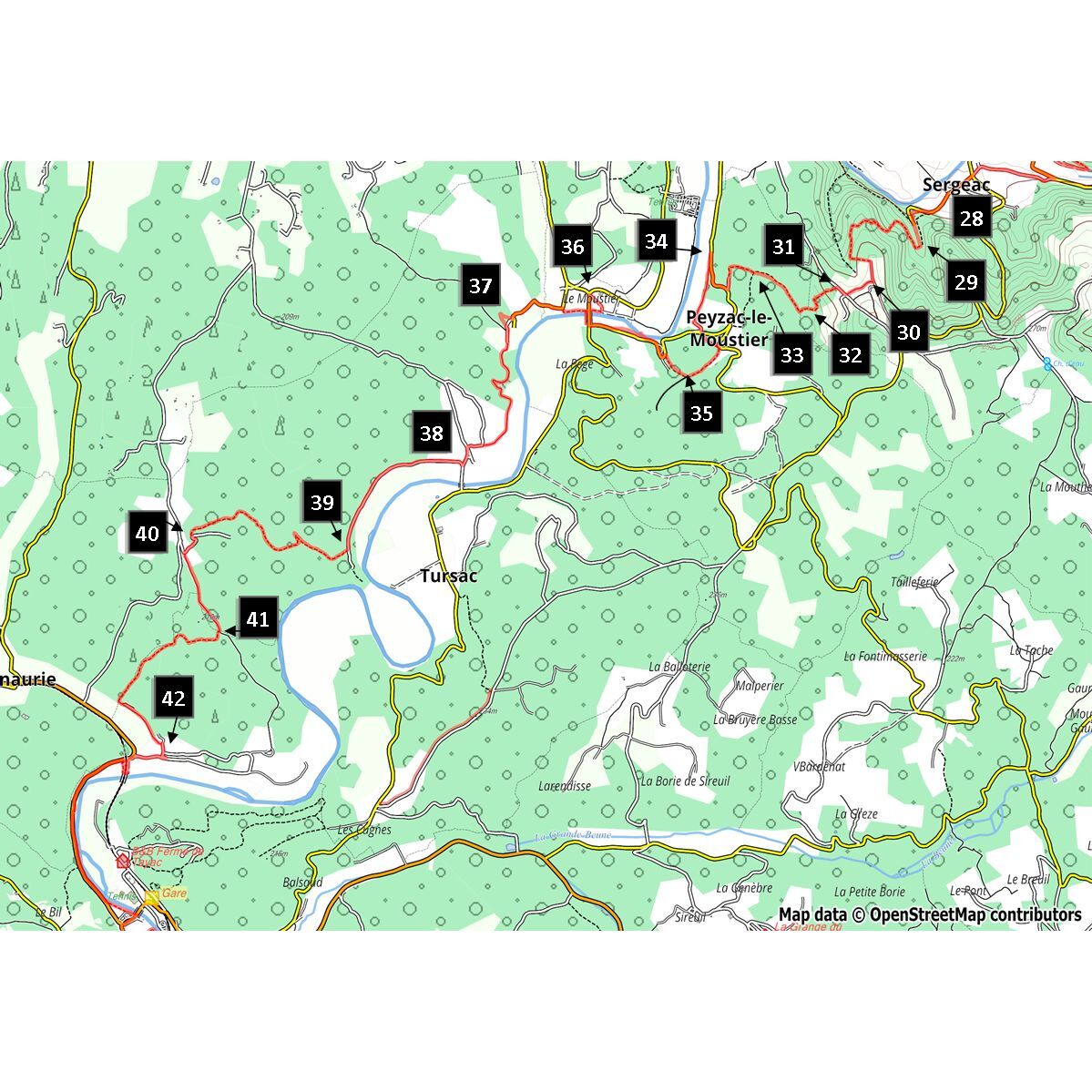
Dans les pas des Hommes de Lascaux Etape 4: Sergeac- Les Eyzies
From Terrasson-Lavilledieu to Limeuil where the Vézère joins the Dordogne, the river runs through one of the most beautiful regions of the Périgord. This fourth stage will take you from Sergeac to Les...
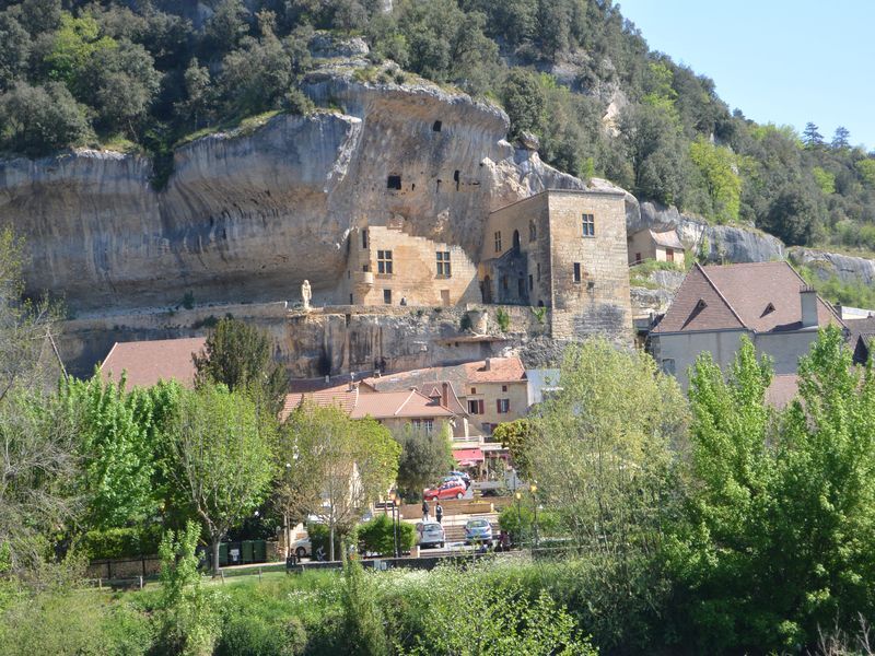
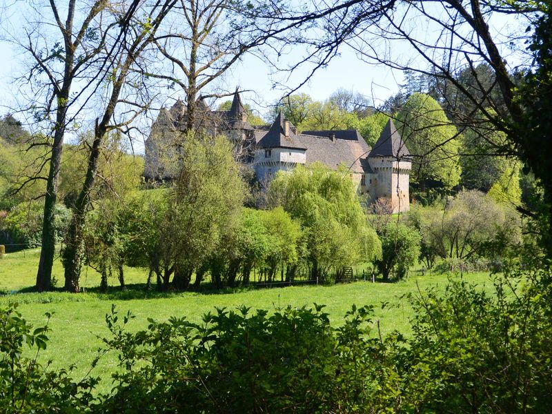
From Terrasson-Lavilledieu to Limeuil where the Vézère joins the Dordogne, the river runs through one of the most beautiful regions of the Périgord. This fourth stage will take you from Sergeac to Les Eyzies. Cross the village of Sergeac to arrive in the valley of Castelmerle, high place of prehistory in the Vézère Valley. You will discover successively the troglodytic site of La Roque St Christophe, the site of La Madeleine and the deposits of Le Moustier, La Micoque and Laugerie.


Ano
Dordogne-Périgord le Département
Oblíbené prohlídky v okolí
-
Boucle Promenade de Lascaux n° 17 / Montignac
středníTuristika 6.95 km -
Les Eyzie
světloTuristika 9.01 km -
De bogue nach Limeuil, Frankreich
světloTuristika 11.0 km -
Boucle de Saint Quentin
středníTuristika 14.0 km -
Voie verte Les Eyzies/Saint-Chamassy
světloTuristika 22.1 km -
Boucle de la Ferrassie n° 26 / Savignac de Miremont
světloTuristika 7.46 km -
Boucle La Combe du Loup
světloTuristika 12.9 km -
Boucle de la Fontaine des Graves
středníTuristika 8.99 km -
Boucle des feuillardiers
světloTuristika 5.24 km -
Saint-Léon-sur-Vézère en écomobilité - Un plus beau Village de France dans les bras de la Vézère
Turistika 2.23 km
Pěší turistika a stopování


Nenechte si ujít nabídky a inspiraci pro vaši příští dovolenou
Vaše e-mailová adresa byl přidán do poštovního seznamu.