
Balade à roulettes : Les prés salés ouest
Turistika
Pořiďte si tuto prohlídku do mobilního telefonu
Balade à roulettes : Les prés salés ouest
Turistika
1.94
km
Naskenujte QR kód a spusťte navigaci v aplikaci bergfex.


Pěší turistika a stopování




Balade à roulettes : Les prés salés ouest
Turistika
Vzdálenost
1.94
km
Doba trvání
00:28
h
Ascent
-
hm
Hladina moře
1 -
3
m

Navigujte po trase v aplikaci
Nainstalujte si aplikaci zdarma a mějte trasu vždy na očích díky GPS navigaci a sledování polohy.
Využijte nyní službu „ bergfex “ v aplikaci
Naskenuj QR kód pomocí fotoaparátu
Jakmile je aplikace nainstalována, obsah se otevře přímo. Pokud aplikaci ještě nemáš, budeš přesměrován na stránku, kde si ji můžeš zdarma stáhnout.
Stažení skladby
Balade à roulettes : Les prés salés ouest
Turistika
1.94
km
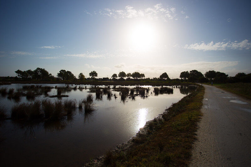
It is an unusual place in the Bay of Arcachon. The salt meadows also called "schorre" represent a natural park with a rich biodiversity. The landscape changes with the rhythm of the tides. We can observe...
Popis
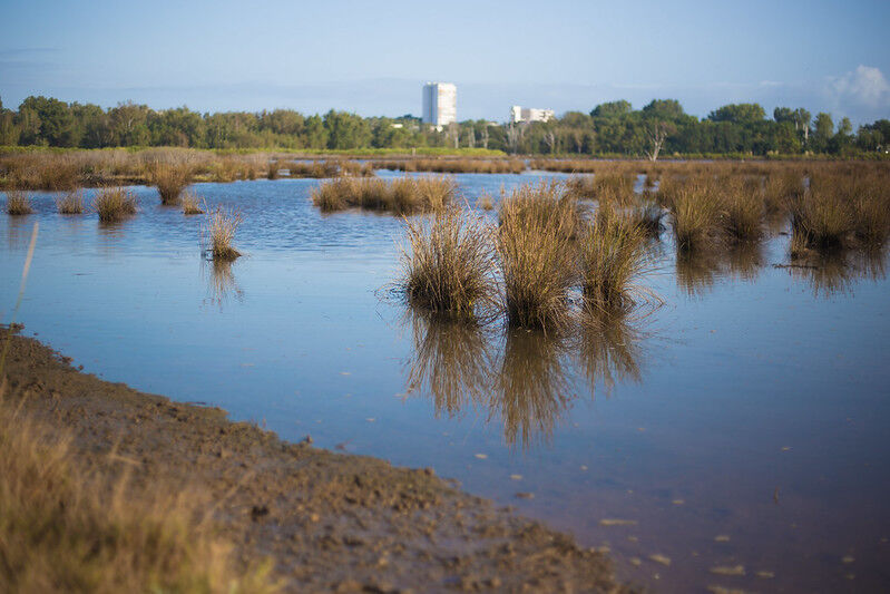
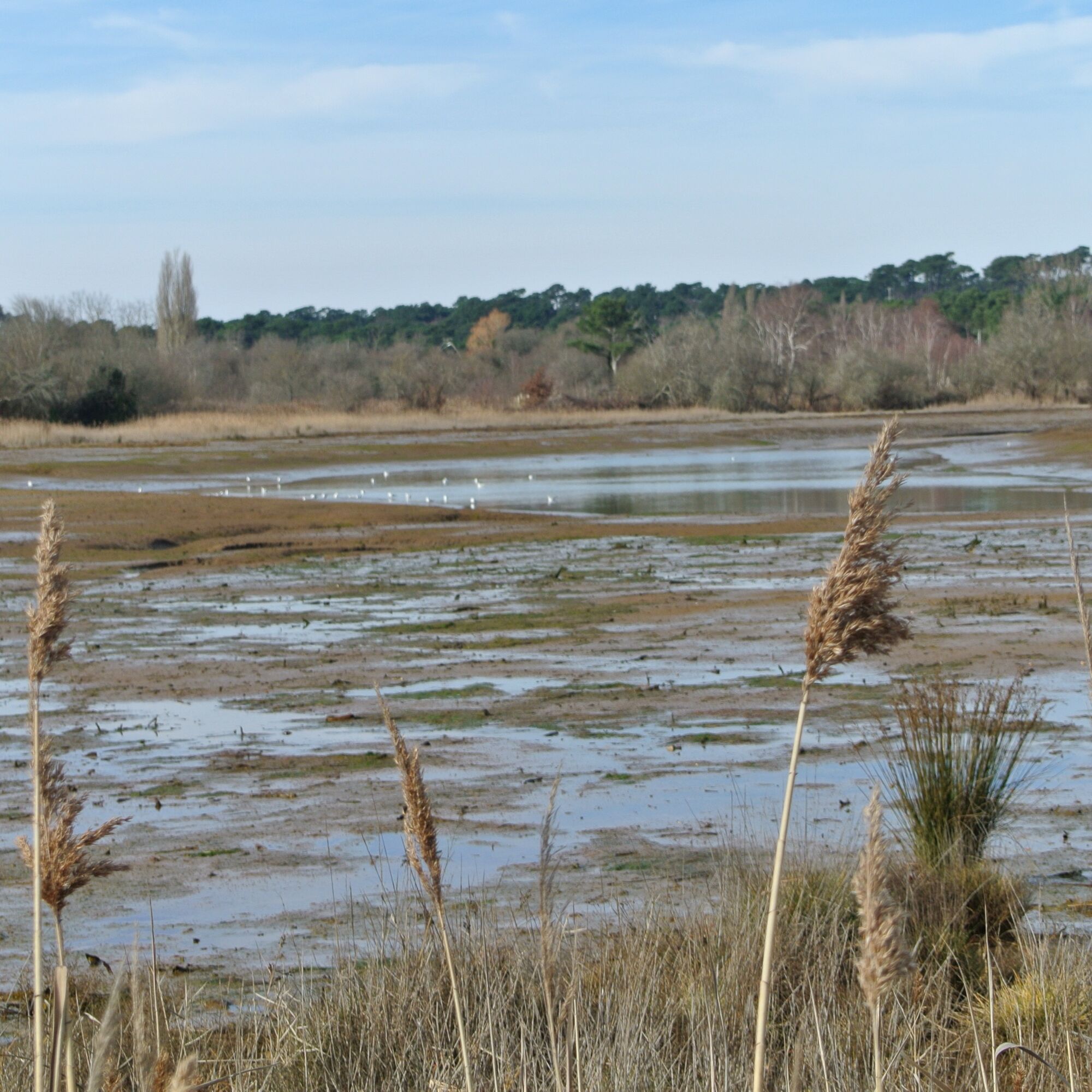
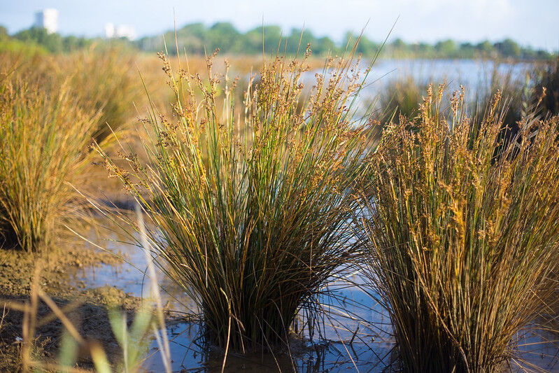
It is an unusual place in the Bay of Arcachon. The salt meadows also called "schorre" represent a natural park with a rich biodiversity. The landscape changes with the rhythm of the tides. We can observe birds, ducks... A tip, bring your binoculars! They constitute the high fringe of the shoreline, covered by the sea during the high tides. There is a short vegetation, which "likes salt". They play a very important role, hence the interest in preserving them A sandy beach borders the site to the north and a long-distance footpath runs along the dike.
The Balades à Roulettes® (BR®) are short, quiet walks, with a pushchair or a small bicycle, or adapted for people with reduced mobility (in a wheelchair), proposed by the French Federation of Rambling of the Gironde.
The Balades à Roulettes® (BR®) are short, quiet walks, with a pushchair or a small bicycle, or adapted for people with reduced mobility (in a wheelchair), proposed by the French Federation of Rambling of the Gironde.
Trasa
Trasa
Balade à roulettes : Les prés salés ouest
Turistika
1.94
km
Autor
Poskytuje Gironde tourisme
Prohlídku Balade à roulettes : Les prés salés ouest zajišťuje outdooractive.com.

Informace o trase
Vhodné pro invalidní vozíky
Ano
Bezpečnostní pokyny
In case of emergency, dial 112
Informace o příjezdu
Příjezd
Consider carpooling
Parkování
Parking near the starting point
Další informace a tipy
Další informace
FFRP 33
Zatím žádné recenze
Oblíbené prohlídky v okolí
-
A Audenge, sur le Domaine de Graveyron entre terre et eaux
světloTuristika 6.02 km -
Au Teich, comme un oiseau sur le sentier du littoral
světloTuristika 8.27 km -
Les secrets de la petite Amazone
Turistika 10.0 km -
Les Pistes de Robin : les secrets de la Dune du Pilat
světloTuristika 1.17 km -
A Lanton, à la rencontre des belles villas de Taussat-les-Bains
světloTuristika 2.36 km -
A Lanton, Audenge, Biganos, Le Teich sur les traces de Saint Jacques de Compostelle
světloJízda na kole 28.7 km -
Boucle du Porge, entre océan, pins et bassin
Jízda na kole 48.6 km -
Arcachon, Boucle de la Ville d'Automne
světloTuristika 6.16 km -
Tour de Gironde à vélo : étape 7 - Salles / Andernos
světloJízda na kole 29.8 km -
Les prés salés, entre terre et mer
světloTuristika 9.98 km
Pěší turistika a stopování

Více než 550.000 návrhů výletů, podrobné mapy a intuitivní plánovač tras dělají z aplikace nezbytnou výbavu pro všechny milovníky přírody.

Nenechte si ujít nabídky a inspiraci pro vaši příští dovolenou
Přihlaste se k odběru newsletteru
Chyba
Došlo k chybě. Zkuste to prosím znovu.
Děkujeme za vaši registraci
Vaše e-mailová adresa byl přidán do poštovního seznamu.
Zájezdy po celé Evropě
Rakousko
Švýcarsko
Německo
Itálie
Slovenia
Francie
Nizozemsko
Belgie
Polsko
Lichtenštejnsko
Česko
Slovensko
Španělsko
Chorvatsko
Bosna a Hercegovina
Lucembursko
Andorra
Portugal
Iceland
United Kingdom
Ireland
Greece
Albania
North Macedonia
Malta
Norway
Montenegro
Moldova
Kosovo
Hungary
San Marino
Romania
Estonia
Latvia
Belarus
Cyprus
Lithuania
Serbia
Bulgaria
Monaco
Denmark
Sweden
Finland





