
Navigace na stránkách
Pořiďte si tuto prohlídku do mobilního telefonu
Mapa
Chemin de Saint-Jacques-Compostelle par la Chapelle Saint-Jean-Baptiste de l’Hôpital

střední
Turistika
199.40 km
Naskenujte QR kód a spusťte navigaci v aplikaci bergfex.
QR Code
Pěší turistika a stopování
Stáhnout pro iOS
Stáhnout pro Android

Chemin de Saint-Jacques-Compostelle par la Chapelle Saint-Jean-Baptiste de l’Hôpital
Mapa
Vzdálenost
199.4 km
Doba trvání
48:04 h
Ascent
396 hm
Hladina moře
- m
Stažení skladby
Mapa
Chemin de Saint-Jacques-Compostelle par la Chapelle Saint-Jean-Baptiste de l’Hôpital
střední
Turistika
199.40 km

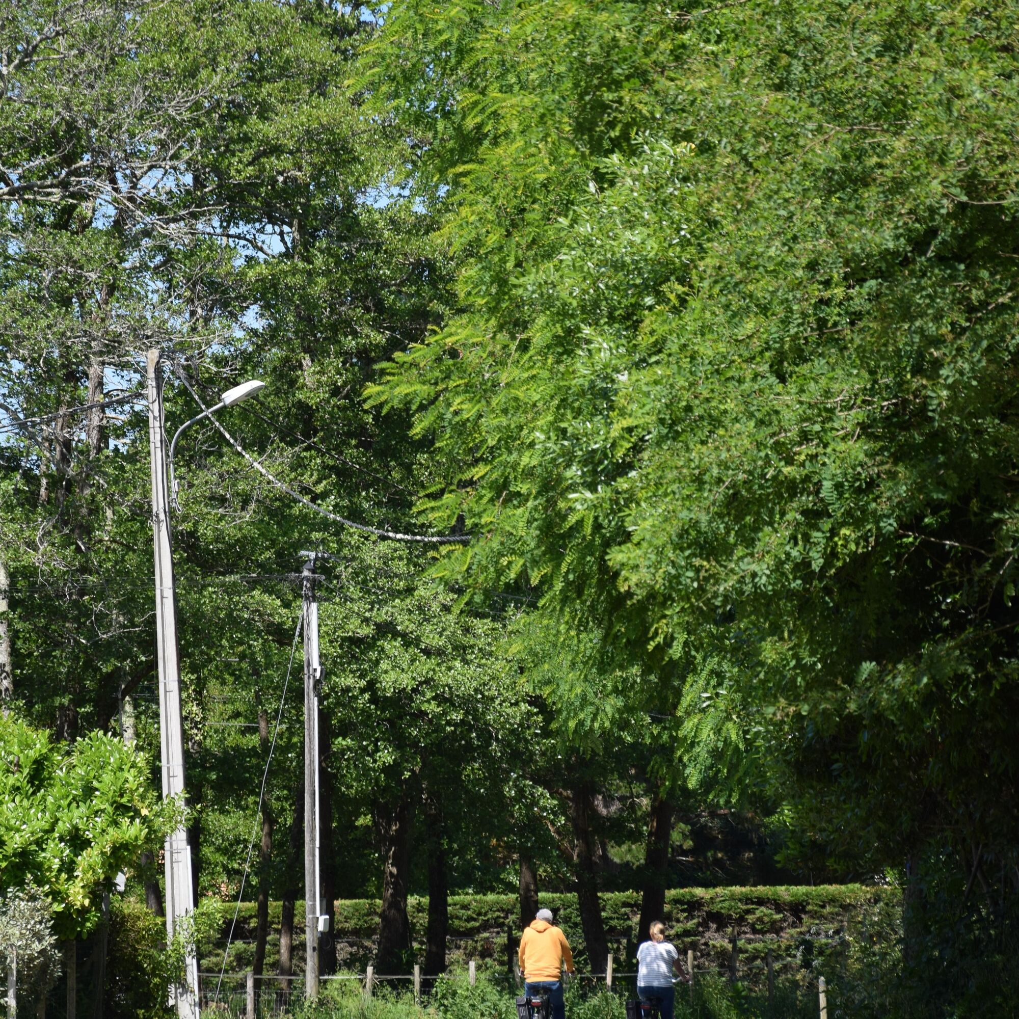
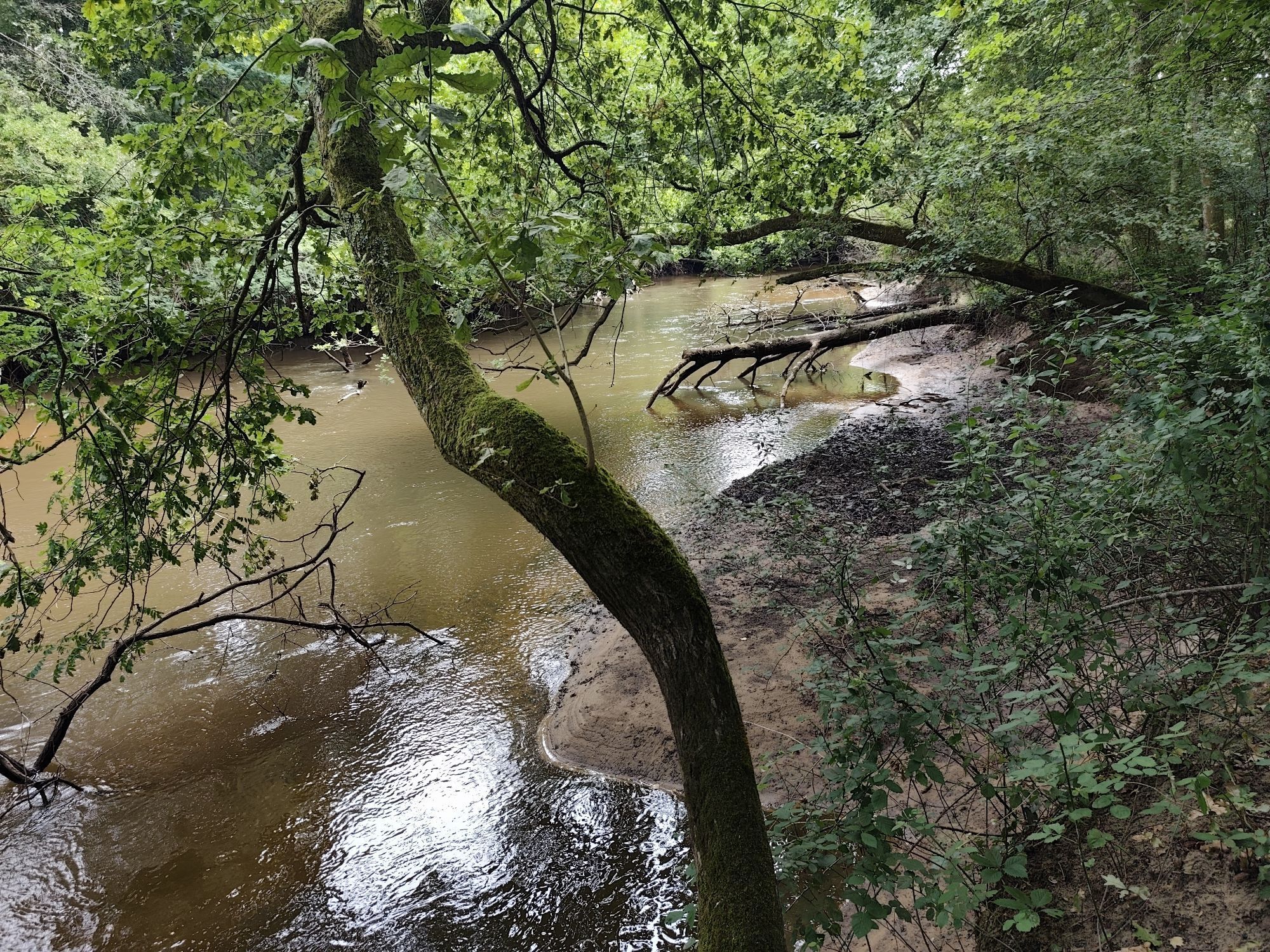
Fotografie našich uživatelů

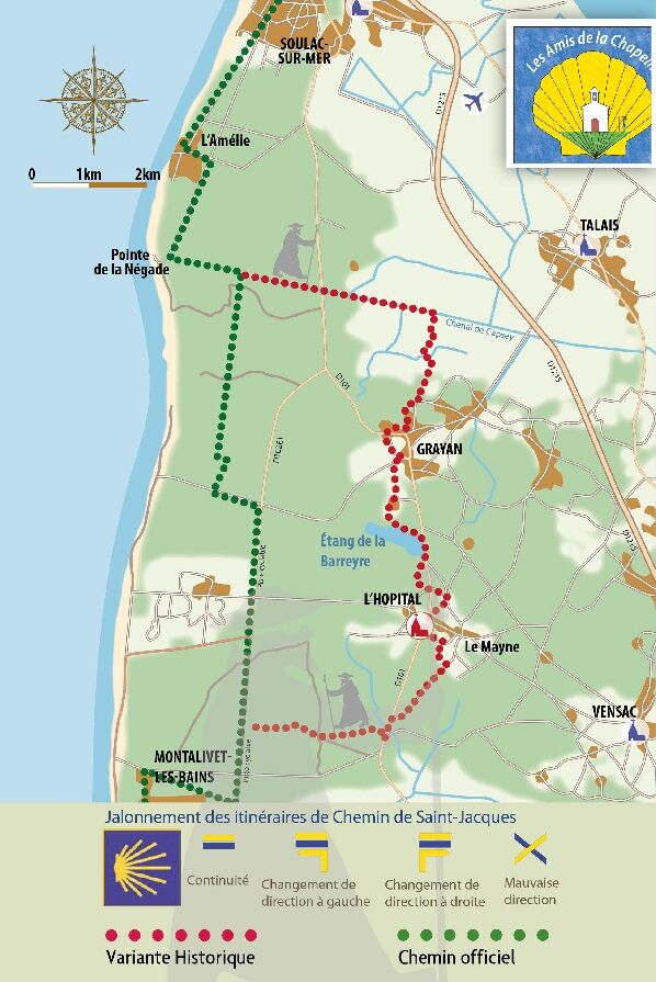
The "Variante de l'Hôpital", a historic section of the Soulac route, follows the route taken by the pilgrims of yesteryear in the Nord Médoc. Almost 1,000 years ago, thousands of pilgrims from northern...

Popis

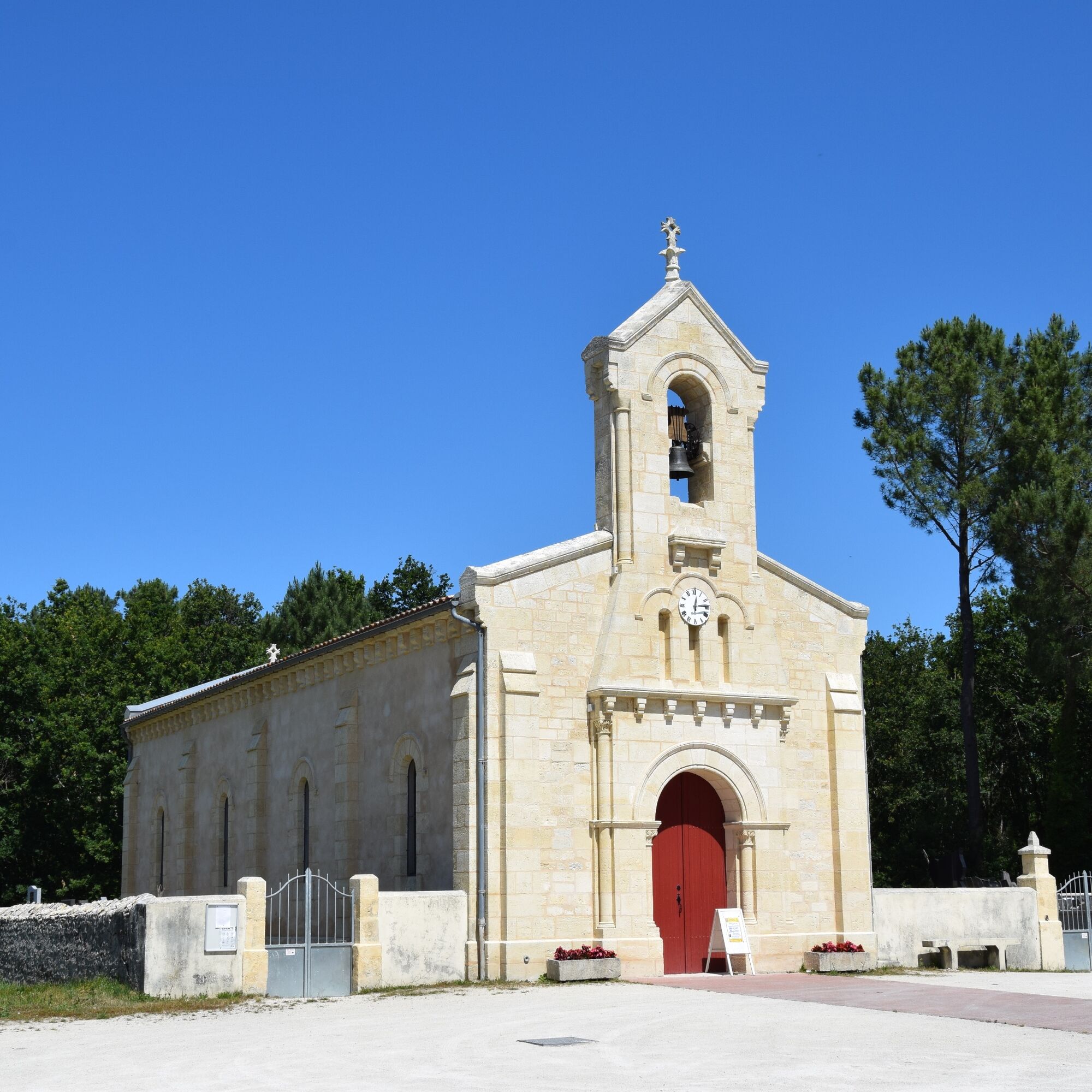
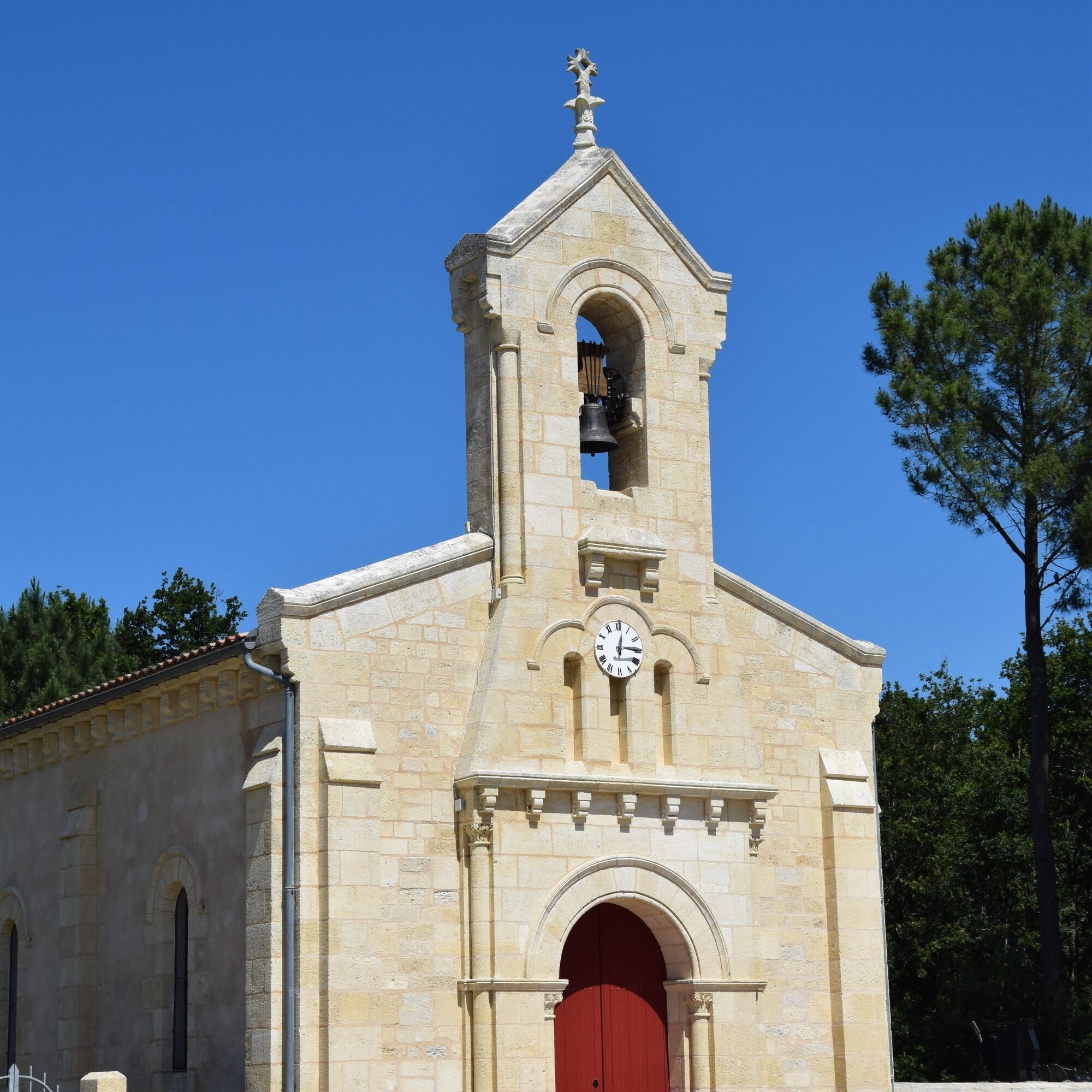
The "Variante de l'Hôpital", a historic section of the Soulac route, follows the route taken by the pilgrims of yesteryear in the Nord Médoc. Almost 1,000 years ago, thousands of pilgrims from northern Europe landed at Soulac-sur-Mer on their way to Compostela, Rome or Jerusalem. After their devotions at Sainte-Véronique, they would head for the Hôpital de la Grayanès, where the Hospitallers of Saint-Jean-de-Jérusalem had founded a major commandery (the Order's 4th in France).
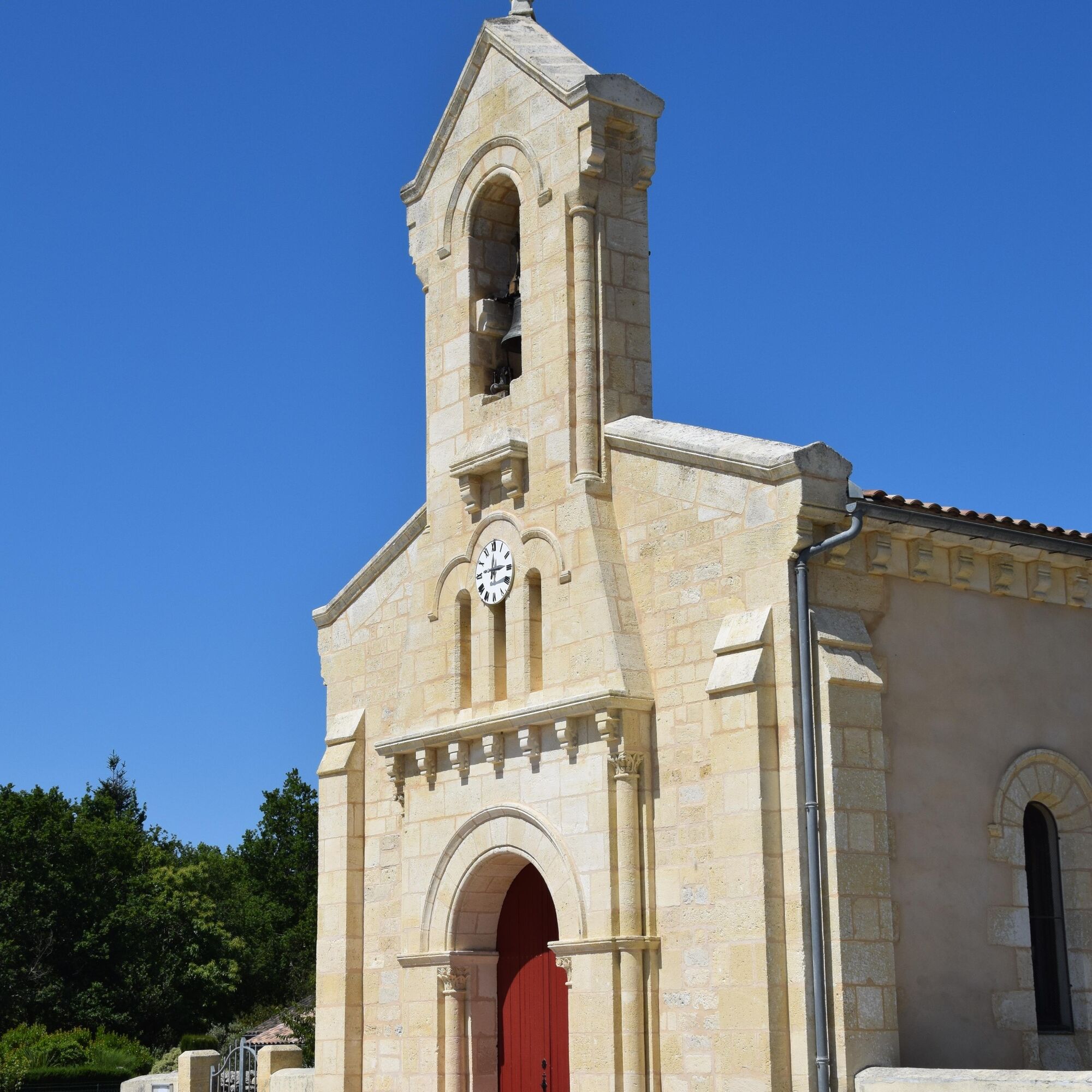
The chapel of Saint-Jean-Baptiste de L'Hôpital is the last witness to this.
Trasa
Chapelle de l'Amélie
(10 m)
Místo konání bohoslužeb
12.1 km
Chapelle Notre-Dame
(9 m)
Místo konání bohoslužeb
37.5 km
Chapelle de Contaut
(16 m)
Místo konání bohoslužeb
61.2 km
Église Saint-Seurin
(23 m)
Místo konání bohoslužeb
123.4 km
Église Saint-Éloi
(4 m)
Místo konání bohoslužeb
147.8 km
Résidence La Louisiane
(5 m)
Sousedství
155.3 km
La Mothe
(3 m)
Vypořádání
175.9 km
Trasa
Mapa
Chemin de Saint-Jacques-Compostelle par la Chapelle Saint-Jean-Baptiste de l’Hôpital
střední
Turistika
199.40 km
Bac Pointe de Grave-Royan
(3 m)
Přístaviště trajektu
0.1 km
La Pointe de Grave
(4 m)
Vypořádání
0.3 km
Les Huttes
(5 m)
Vypořádání
6.0 km
PGVS - Soulac Les Arros
(7 m)
Železniční stanice
7.0 km
Soulac-sur-Mer
(9 m)
Vesnice
8.5 km
Le Signal
(9 m)
Koridor/terén
9.4 km
Restaurant des Pins
(9 m)
Restaurace
12.0 km
L'Amélie
(9 m)
Vypořádání
12.1 km
Chapelle de l'Amélie
(10 m)
Místo konání bohoslužeb
12.1 km
Vidau
(6 m)
Vypořádání
23.9 km
L'Hôpital
(11 m)
Sousedství
27.6 km
Chapelle Saint-Jean
(11 m)
Místo konání bohoslužeb
27.7 km
Vensac Océan
(12 m)
Sousedství
34.7 km
Les Colonies
(12 m)
Vypořádání
35.0 km
Montalivet-les-Bains
(11 m)
Sousedství
35.6 km
Front de Mer
(10 m)
Sousedství
37.0 km
Chapelle Notre-Dame
(9 m)
Místo konání bohoslužeb
37.5 km
Le Pin Sec
(12 m)
Vypořádání
51.3 km
Hourtin Plage
(13 m)
Vypořádání
56.6 km
Maison Forestière du Petit Mont Est et Ouest
(23 m)
Koridor/terén
60.5 km
Chapelle de Contaut
(16 m)
Místo konání bohoslužeb
61.2 km
Contaut
(16 m)
Vypořádání
61.3 km
Le Piqueyrot
(16 m)
Restaurace
63.3 km
Piqueyrot
(16 m)
Vypořádání
63.3 km
Bombannes
(19 m)
Sousedství
77.6 km
Belvédère du Cousseau
(22 m)
Úhel pohledu
88.3 km
Lacanau-Océan
(12 m)
Sousedství
96.5 km
Carrefour du Lion
(7 m)
Koridor/terén
101.4 km
Manchets
(16 m)
Koridor/terén
104.4 km
Saucinon
(20 m)
Vypořádání
108.6 km
Lotissement Bernos
(16 m)
Vypořádání
109.8 km
Le Vignas
(20 m)
Vypořádání
121.2 km
Le Porge
(22 m)
Vesnice
123.2 km
Église Saint-Seurin
(23 m)
Místo konání bohoslužeb
123.4 km
Les Badines
(6 m)
Vypořádání
138.0 km
Les Hauts du Bourgeon
(5 m)
Vypořádání
138.4 km
Arès
(5 m)
Vesnice
143.4 km
Église Saint-Éloi
(4 m)
Místo konání bohoslužeb
147.8 km
Andernos-les-Bains
(9 m)
Město
148.8 km
Le Bétey
(3 m)
Vypořádání
149.6 km
Le Mauret
(4 m)
Vypořádání
151.4 km
Taussat-les-Bains
(7 m)
Sousedství
152.5 km
Cassy
(6 m)
Sousedství
155.1 km
Résidence La Palmeraie
(5 m)
Sousedství
155.3 km
Résidence La Louisiane
(5 m)
Sousedství
155.3 km
Pointe de Branne
(4 m)
Koridor/terén
160.9 km
Le Pavillon
(4 m)
Koridor/terén
162.6 km
Cabane du Pigeonney
(4 m)
Koridor/terén
165.7 km
Audenge
(5 m)
Vesnice
166.0 km
Port des Tuiles
(3 m)
Vypořádání
170.9 km
Comprian
(4 m)
Vypořádání
171.3 km
Le Bruillau
(4 m)
Koridor/terén
173.2 km
La Mothe
(3 m)
Vypořádání
175.9 km
Martinot
(29 m)
Vypořádání
194.9 km
Larrat
(29 m)
Vypořádání
195.1 km
Bernon
(30 m)
Vypořádání
195.3 km
Caton
(25 m)
Koridor/terén
198.0 km
La Paillote Ha-Lô
(24 m)
Restaurace
198.1 km
Aire de Jeux des Eaux qui Rient
(22 m)
Dětské hřiště
199.3 km
Sanguinet
(24 m)
Vesnice
199.3 km
Informace o prohlídce
Technologie
n.a.
Stav
3 / 6
Krajina
n.a.
Zkušenosti
5 / 6
Celoročně přístupné
Led
Úno
Bře
Dub
Kvě
Čen
Čec
Srp
Zář
Říj
Lis
Pro
Sdílet prohlídku
Mapa
Chemin de Saint-Jacques-Compostelle par la Chapelle Saint-Jean-Baptiste de l’Hôpital
střední
Turistika
199.40 km
Chyba
Došlo k chybě. Zkuste to prosím znovu.
Pěší turistika a stopování

Pěší turistika a stopování

ke stažení pro iOSstáhnout pro Android
Pěší turistika a stopování
Více než 550.000 návrhů výletů, podrobné mapy a intuitivní plánovač tras dělají z aplikace nezbytnou výbavu pro všechny milovníky přírody.
bergfex