







Grand Tour de Talais
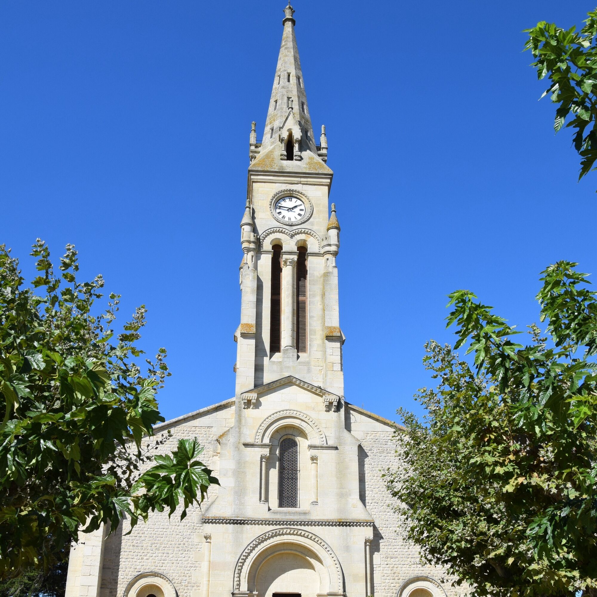
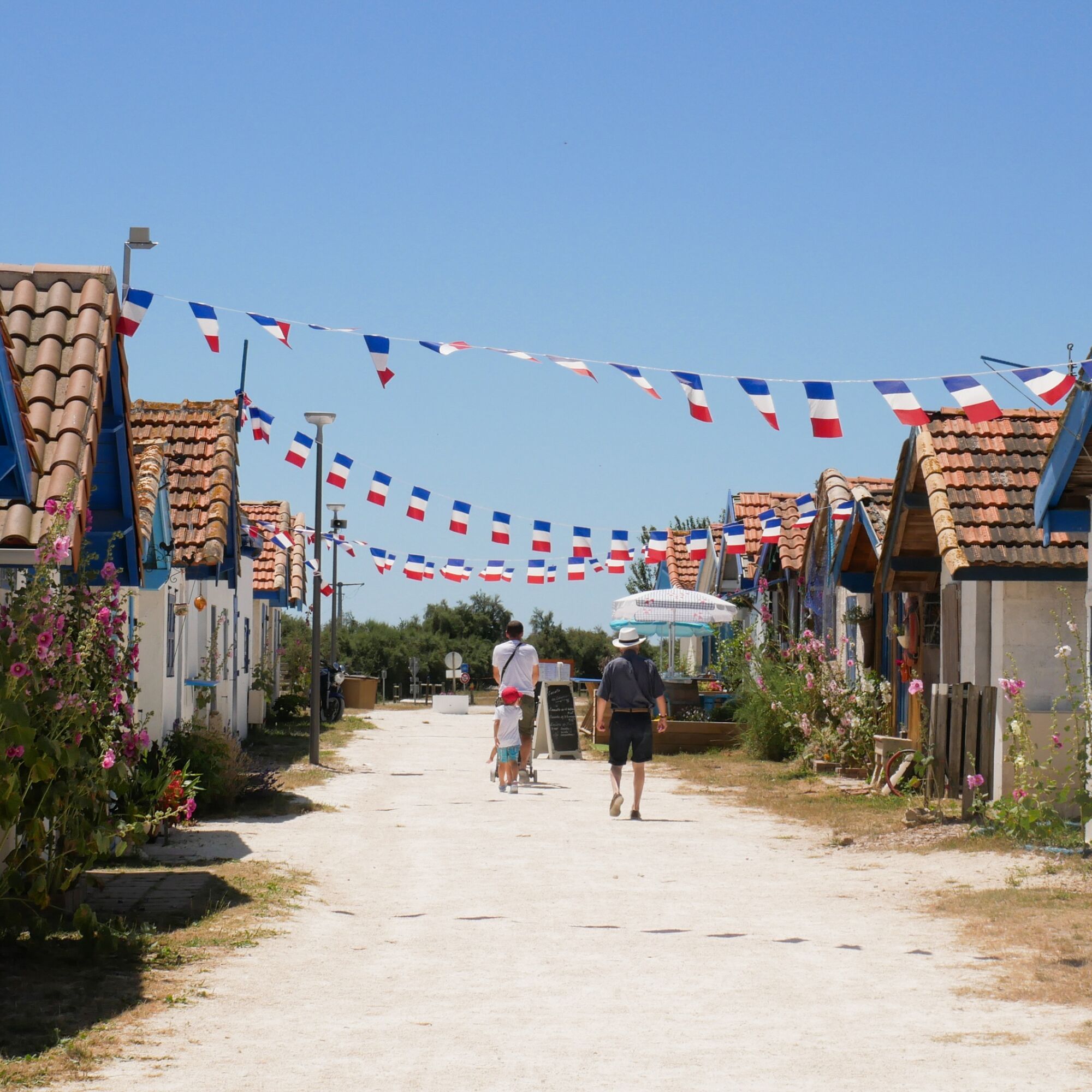
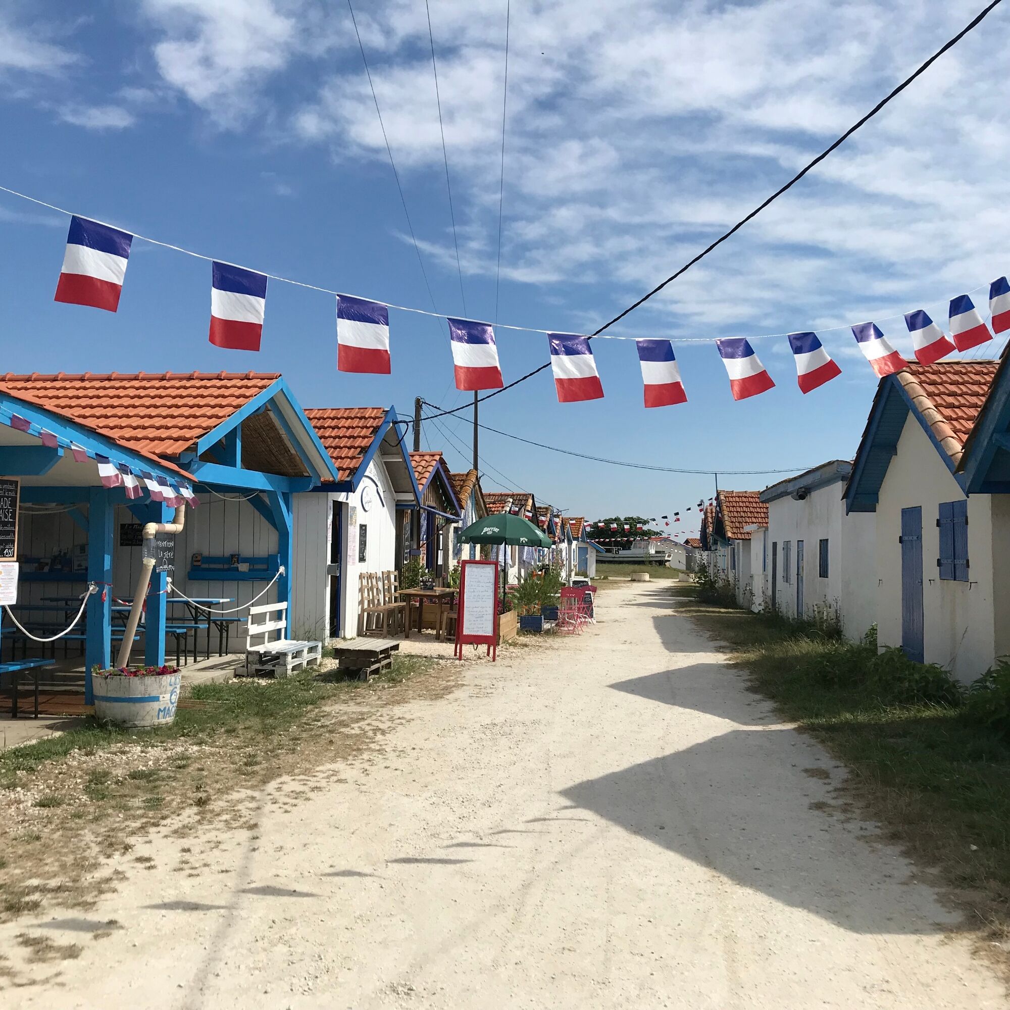
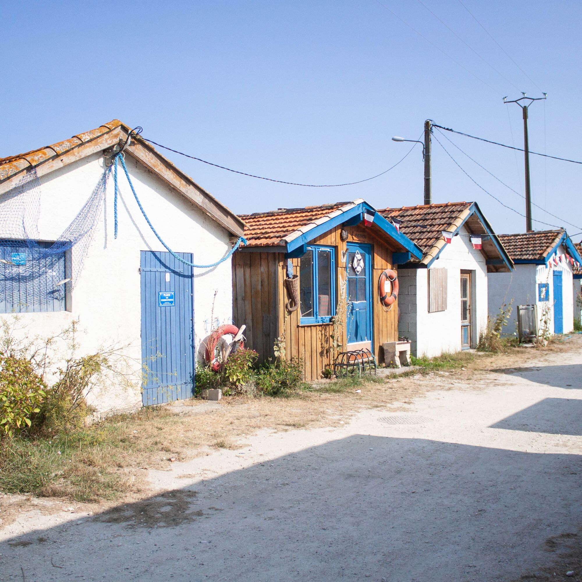
A walking route rich in outstanding natural heritage, offering an opportunity to discover the marsh and oyster-farming port of this small village of Talais. Starting from the village church and passing...
A walking route rich in outstanding natural heritage, offering an opportunity to discover the marsh and oyster-farming port of this small village of Talais. Starting from the village church and passing through the mattes, you'll reach this old oyster-farming port lined with unusual huts. If you're feeling brave, the walk will take you all the way to the estuary...Leave your car in the car park behind the church.
At the corner of the large town house, take the route de Loumenade.
250m to the right in the meadow are the remains of a tumulus probably of Neolithic origin known as the "Motte du Castéra".
Cross the crossroads, then turn left 200m along the gravel path to the Château.
Walk 200m, then turn right along the passage de la pompe for 250m to the intersection.
Turn left into the Chemin du Désert for 150m, then left into Rue Jean de l'Ouille for 150m.
Turn right into rue de long Régat, then walk straight on for 925m and take the passe communale du Vigneau.
Cross the junction with the D101 E3 (route de Grayan) and go straight ahead along the passe de la Cousteyre for 1,675 metres.
Turn right along the D1E4, route de Saint Vivien, then walk for 300m.
Cross the D1E4 and turn left along the passe communale for 850m, then left for 300m to the route des Cabireaux. Walk along the road for 625m and turn right onto the Prés du Moine pass for 550m.
Continue along this pass, turning left for 1km as far as the passe Castillonnaise, the road from the port of Talais to Saint Vivien.
Turn left for 450m and walk straight on to the port, skirting the mattes for around 2000m.

Ano
In case of emergency, dial 112
Consider carpooling
Parking near the starting point
OT Médoc Atlantique
Oblíbené prohlídky v okolí
-
Tour de Gironde à vélo : étape 11 - Montalivet-les-Bains / Royan
světloJízda na kole 30.0 km -
Circuit des villas soulacaises
světloTuristika 2.03 km -
La Soulacaise Sud
světloTuristika 7.58 km -
Le sentier du Marais du Gua
světloTuristika 1.04 km -
La Verdonnaise
Turistika 6.21 km -
La Soulacaise
světloTuristika 6.12 km -
Boucle entre vignes et marais
světloTuristika 6.45 km -
Boucle de Goulée
Turistika 6.04 km -
Boucle des Palus
Turistika 3.67 km -
La boucle de Talais par le port
Turistika 6.28 km

Pěší turistika a stopování


Nenechte si ujít nabídky a inspiraci pro vaši příští dovolenou
Vaše e-mailová adresa byl přidán do poštovního seznamu.





