





La Laurence 26 km

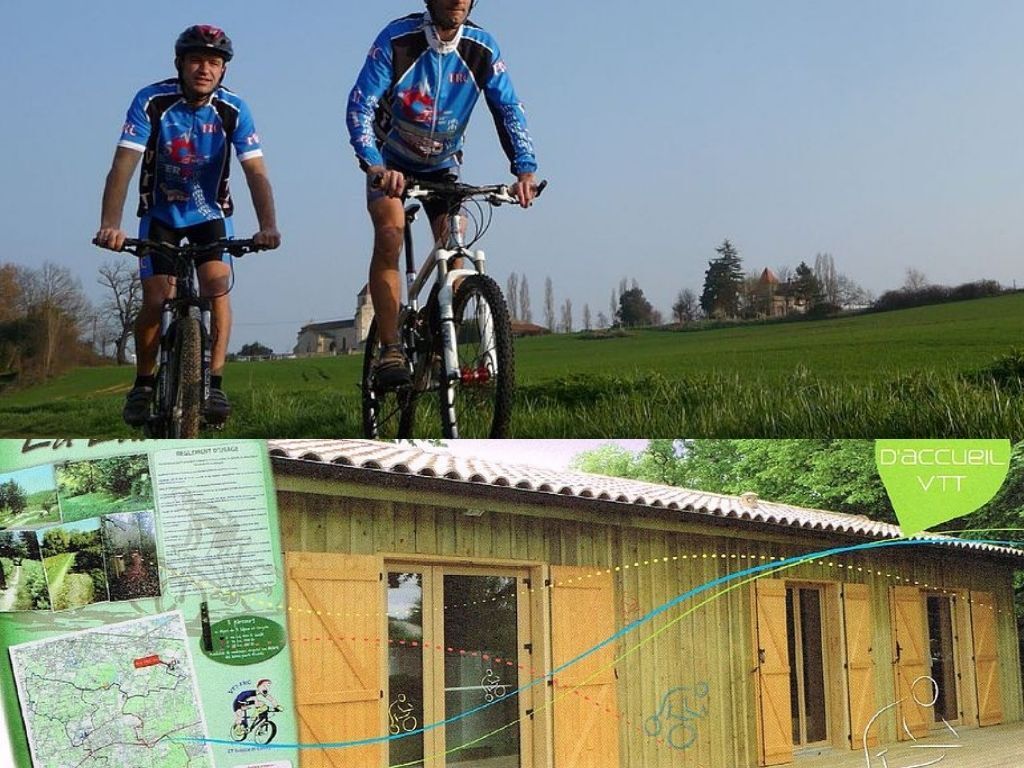
Only 15 minutes from Bordeaux, the VTT FRC Saint-Sulpice and the Conseil Départemental invite you to discover the marked out mountain bike trails of "La Laurence": 46 km and 640 d+ / 36 km and 480 d+ /...
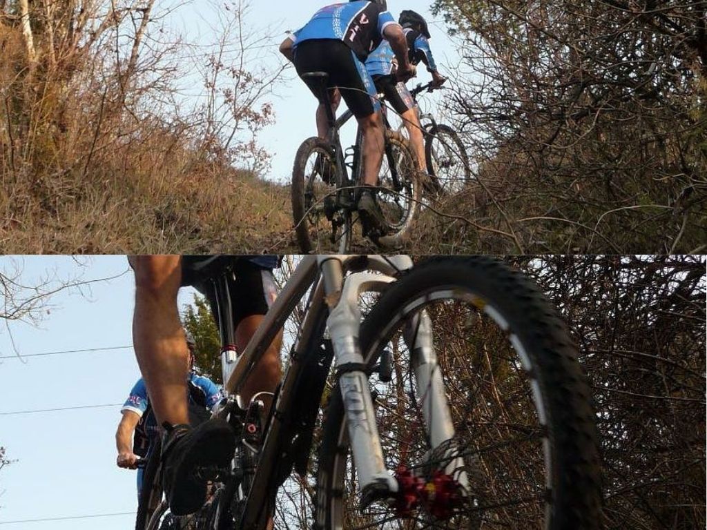
Only 15 minutes from Bordeaux, the VTT FRC Saint-Sulpice and the Conseil Départemental invite you to discover the marked out mountain bike trails of "La Laurence": 46 km and 640 d+ / 36 km and 480 d+ / 26 km and 160 d+.
These hilly routes take in vineyards and woods and cross the communes of Saint-Sulpice-et-Cameyrac, Beychac-et-Caillau, Salleboeuf, Pompignac, Montussan, Yvrac and Saint-Loubès.
Since 2015, Sainte-Eulalie and Yvrac have benefited from 4 new links to different routes.
Please note: since September 30, 2020, the northern part is open all year round from Saint-Sulpice (15 km trail and the 23 km trail). The southern part remains closed during the hunting season.

Ano
In case of emergency, call 112.
OT de l'Entre-deux-Mers
Oblíbené prohlídky v okolí
-
Saint-Emilion - Bordeaux par la piste Roger Lapébie
středníJízda na kole 49.7 km -
Super balade : Sur l'eau et dans les nuages
světloTuristika 20.6 km -
La Laurence 38 km
středníMountainbike 37.0 km -
Boucle Bellevue
světloTuristika 5.62 km -
Boucle du Moulin Neuf
světloTuristika 6.32 km -
Boucle de Montalon, Saint-André-de-Cubzac
světloTuristika 12.6 km -
Balade à roulettes : Lac de Saint-Vincent-de-Paul - Impraticable
světloTuristika 0.73 km -
Boucle du Greseau et de Baron
světloTuristika 5.30 km -
Boucle de La Sauve à pied - Une abbaye en Entre-deux-Mers
světloTuristika 6.99 km -
5.0
Pessac - Église Saint-Éloi - Basilique Saint-Michel - Mériadeck
světloTuristika 5.48 km
Pěší turistika a stopování


Nenechte si ujít nabídky a inspiraci pro vaši příští dovolenou
Vaše e-mailová adresa byl přidán do poštovního seznamu.





