
Circuit VTT n°18 - Le tour de Versillat
střední
Pořiďte si tuto prohlídku do mobilního telefonu
Circuit VTT n°18 - Le tour de Versillat
střední
Mountainbike
27.80
km
Naskenujte QR kód a spusťte navigaci v aplikaci bergfex.


Pěší turistika a stopování





Circuit VTT n°18 - Le tour de Versillat
střední
Vzdálenost
27.8
km
Doba trvání
02:36
h
Ascent
351
hm
Hladina moře
292 -
434
m
Stažení skladby
Circuit VTT n°18 - Le tour de Versillat
střední
Mountainbike
27.80
km
We leave the outskirts of La Souterraine fairly quickly to access the Sédelle valley via the GR654 and the Chemin de Compostelle, which we intersect several times.There's a nice downhill path (watch out...
Popis
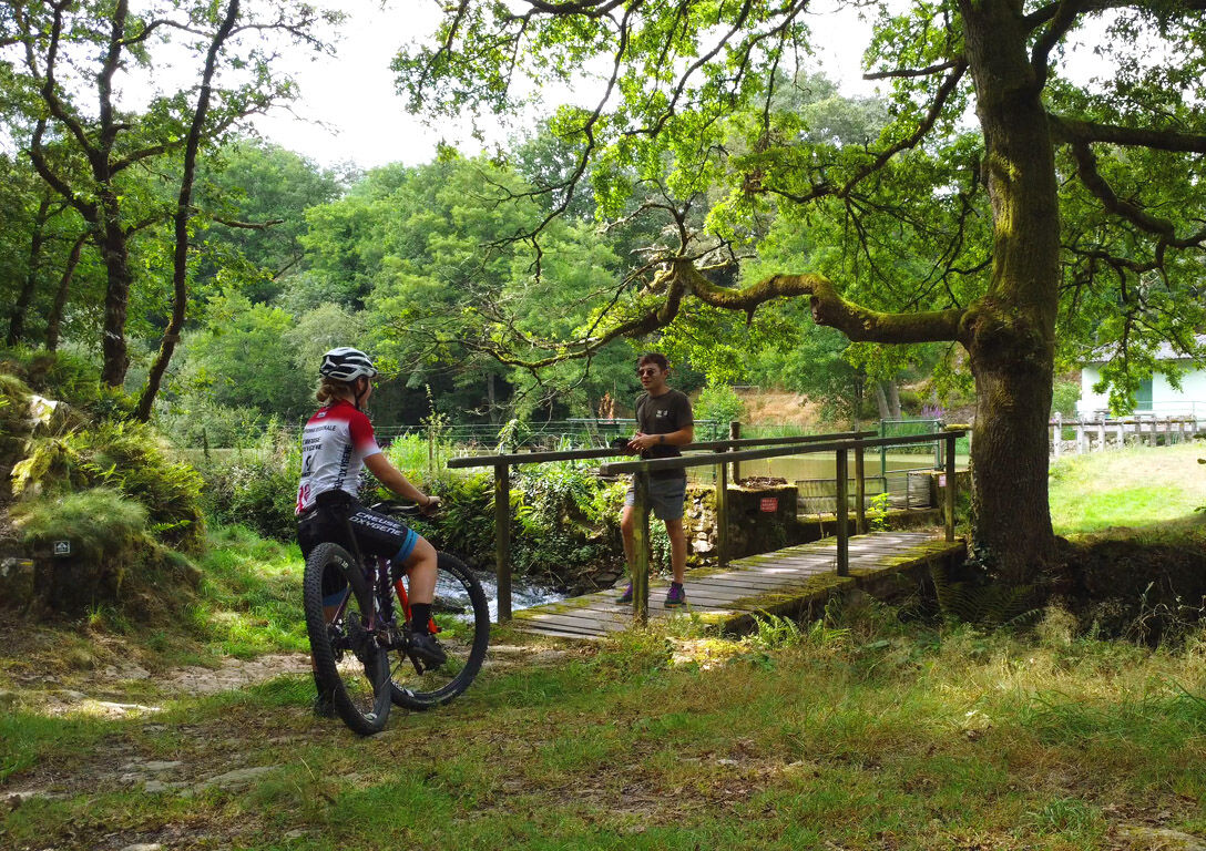
We leave the outskirts of La Souterraine fairly quickly to access the Sédelle valley via the GR654 and the Chemin de Compostelle, which we intersect several times.
There's a nice downhill path (watch out for Compostelle pilgrims going the wrong way!) at around km 7; a pleasant, albeit technical, passage through a stream at km 21... And a beautiful hill to climb at km 22.
Trasa
Bousseresse
(377 m)
Vypořádání
1.7 km
Peu de Châtelus
(350 m)
Summit
5.4 km
Église Saint-Agnan
(308 m)
Místo konání bohoslužeb
8.2 km
Mazégout
(313 m)
Vypořádání
8.5 km
La Peyre
(312 m)
Vypořádání
18.5 km
La Grande Vergnolle
(410 m)
Vypořádání
23.1 km
Bridiers
(409 m)
Vypořádání
26.3 km
Trasa
Circuit VTT n°18 - Le tour de Versillat
střední
Mountainbike
27.80
km
Bousseresse
(377 m)
Vypořádání
1.7 km
Le Moulin Porcher
(354 m)
Vypořádání
3.2 km
La Coustière
(375 m)
Vypořádání
4.2 km
La Rebeyrolle
(354 m)
Vypořádání
5.0 km
Peu de Châtelus
(350 m)
Summit
5.4 km
Lascoux
(362 m)
Vypořádání
6.1 km
Saint-Agnant-de-Versillat
(310 m)
Vesnice
7.9 km
Mel Lou
(312 m)
Restaurace
8.1 km
Église Saint-Agnan
(308 m)
Místo konání bohoslužeb
8.2 km
Mazégout
(313 m)
Vypořádání
8.5 km
Le Breuil
(355 m)
Vypořádání
11.2 km
Le Boucheron
(329 m)
Vypořádání
15.5 km
La Peyre
(312 m)
Vypořádání
18.5 km
Le Grand Couret
(341 m)
Vypořádání
20.4 km
La Caffarderie
(339 m)
Vypořádání
21.2 km
La Grande Vergnolle
(410 m)
Vypořádání
23.1 km
La Petite Vergnolle
(415 m)
Vypořádání
23.3 km
Le Cluzeau
(403 m)
Vypořádání
23.7 km
Bridiers
(409 m)
Vypořádání
26.3 km
L'Aquarelle du Limousin
(394 m)
Restaurace
27.6 km
Autor
Poskytuje Tourisme Creuse
Prohlídku Circuit VTT n°18 - Le tour de Versillat zajišťuje outdooractive.com.


Další informace a tipy
Další informace
OT Pays Sostranien https://www.tourisme-creuse.com/pays-sostranien/
Zatím žádné recenze
Oblíbené prohlídky v okolí
-
The painters' trail
světloTematická stezka 3.68 km -
Circuit pédestre Dans les pas de Monet F1
světloTuristika 3.22 km -
Circuit Uni'Vert Trail n°6 : Racin'es Trail
středníTuristika 8.23 km -
Mountain bike route no. 39 - Crozant
heavyMountainbike 32.7 km -
MTB route no. 41 - Saint Sébastien
světloMountainbike 11.0 km -
Creuse Loop / Western Section: Crozant > Châtelus le Marcheix
středníCyklistika na velkou vzdálenost 64.9 km -
Circuit Uni'Vert Trail n°7 : Urbain'POLT
středníTuristika 19.6 km -
Circuit Uni'Vert Trail n°5 : Cazitrail
středníTuristika 15.8 km -
Circuit VTT n°20 - Autour de l'étang de la Cazine
světloMountainbike 12.7 km -
De Pierre et de Bois SD1
středníTuristika 11.1 km
Pěší turistika a stopování

Více než 550.000 návrhů výletů, podrobné mapy a intuitivní plánovač tras dělají z aplikace nezbytnou výbavu pro všechny milovníky přírody.

Nenechte si ujít nabídky a inspiraci pro vaši příští dovolenou
Přihlaste se k odběru newsletteru
Chyba
Došlo k chybě. Zkuste to prosím znovu.
Děkujeme za vaši registraci
Vaše e-mailová adresa byl přidán do poštovního seznamu.
Zájezdy po celé Evropě
Rakousko
Švýcarsko
Německo
Itálie
Slovenia
Francie
Nizozemsko
Belgie
Polsko
Lichtenštejnsko
Česko
Slovensko
Španělsko
Chorvatsko
Bosna a Hercegovina
Lucembursko
Andorra
Portugal
Iceland
United Kingdom
Ireland
Greece
Albania
North Macedonia
Malta
Norway
Montenegro
Moldova
Kosovo
Hungary
San Marino
Romania
Estonia
Latvia
Belarus
Cyprus
Lithuania
Serbia
Bulgaria
Monaco
Denmark
Sweden
Finland





