Navigace na stránkách
Pořiďte si tuto prohlídku do mobilního telefonu
Mapa
The Dordogne- from villages to dams

střední
dálková pěší trasa
193,75 km
Naskenujte QR kód a spusťte navigaci v aplikaci bergfex.
QR Code
Pěší turistika a stopování
Stáhnout pro iOS
Stáhnout pro Android

The Dordogne- from villages to dams

střední
dálková pěší trasa
Mapa
Vzdálenost
193,8 km
Doba trvání
61:32 h
Ascent
5.568 hm
Hladina moře
179 - 784 m
Stažení skladby
Mapa
The Dordogne- from villages to dams
střední
dálková pěší trasa
193,75 km

The trail requires 15 days of walking for families and 5 to 6 days for those more sporty to discover the Château de Val, Bort Organs, Spontour, Argentat, the Black Rock Viaduct, the site of St Nazaire,...

Popis

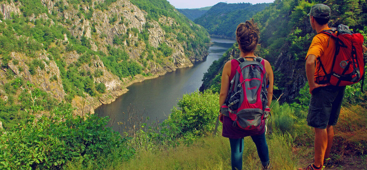
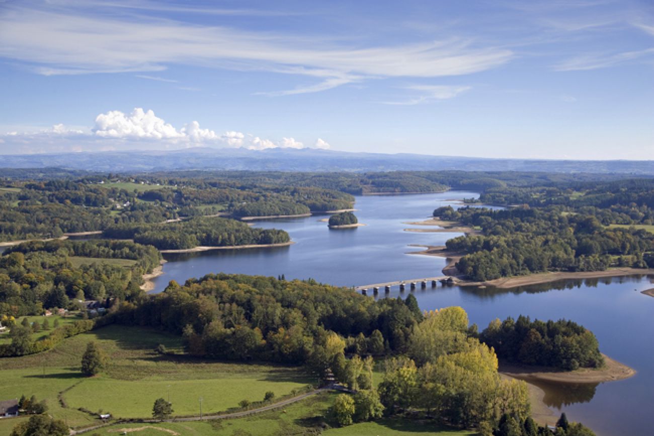
The trail requires 15 days of walking for families and 5 to 6 days for those more sporty to discover the Château de Val, Bort Organs, Spontour, Argentat, the Black Rock Viaduct, the site of St Nazaire, Belvedere Gratte-Bruyère and the dams in the Dordogne valley. 

The Dordogne basin was classified by UNESCO in 2012 as a "World Biosphere Reserve". 

Signposting: yellow and white (shown in both directions).

Trasa
Chapelle Saint-Martin
(680 m)
Místo konání bohoslužeb
7,0 km
Les Orgues
(795 m)
Summit
39,2 km
Puy de Manzagol
(694 m)
Sopka
73,9 km
Chapelle Sainte-Marie-Madeleine
(275 m)
Místo konání bohoslužeb
124,9 km
Chapelle Saint-Simon
(503 m)
Místo konání bohoslužeb
141,2 km
Coufinier
(530 m)
Vypořádání
165,8 km
Chapelle Jeanne d'Arc
(184 m)
Místo konání bohoslužeb
193,6 km
Trasa
Mapa
The Dordogne- from villages to dams
střední
dálková pěší trasa
193,75 km
Église de la Sainte-Trinité
(778 m)
Místo konání bohoslužeb
0,0 km
Confolent-Port-Dieu
(777 m)
Vypořádání
0,0 km
Chapelle Saint-Martin
(680 m)
Místo konání bohoslužeb
7,0 km
Monestier-Port-Dieu
(709 m)
Vesnice
13,4 km
La Bournerie
(645 m)
Vypořádání
18,8 km
Outre Val
(551 m)
Vypořádání
22,3 km
Restaurant l'Outre Val
(547 m)
Restaurace
22,4 km
Le Mont
(650 m)
Vypořádání
23,9 km
Soul Kitchen Us Mex
(538 m)
Restaurace
34,4 km
Aux diables au thym
(438 m)
Restaurace
35,5 km
Phenix De Jade
(433 m)
Restaurace
36,0 km
Bort-les-Orgues
(423 m)
Vesnice
36,3 km
Les Orgues
(795 m)
Summit
39,2 km
Cronzat
(595 m)
Vypořádání
49,8 km
Saint-Julien-près-Bort
(610 m)
Vesnice
51,8 km
Église Saint-Julien-de-Brioude
(619 m)
Místo konání bohoslužeb
51,9 km
Laborde
(593 m)
Vypořádání
54,5 km
Rotabourg
(609 m)
Vypořádání
58,1 km
Église Saint-Pardoux-de-Guéret
(611 m)
Místo konání bohoslužeb
59,8 km
Roche-le-Peyroux
(585 m)
Vesnice
60,2 km
Val Beneyte
(562 m)
Vypořádání
62,1 km
Chaux
(582 m)
Vypořádání
66,5 km
Liginiac
(570 m)
Vesnice
69,2 km
Chapelle Notre-Dame de Pitié
(576 m)
Místo konání bohoslužeb
69,5 km
Prentegarde
(660 m)
Vypořádání
71,7 km
Puy de Manzagol
(694 m)
Sopka
73,9 km
Manzagol
(662 m)
Vypořádání
74,1 km
Sérandon
(602 m)
Vesnice
81,3 km
Hôtel de la Poste Chez Lisa
(601 m)
Restaurace
81,3 km
La Charlane
(557 m)
Vypořádání
85,8 km
Les Âges
(565 m)
Vypořádání
92,7 km
La Renaudie
(578 m)
Vypořádání
93,9 km
Le Moulin de Tony
(415 m)
Koridor/terén
95,9 km
Fontloube
(549 m)
Vypořádání
98,2 km
Le Mons
(554 m)
Vypořádání
110,7 km
La Terrade
(539 m)
Vypořádání
111,7 km
Lafage
(545 m)
Vypořádání
115,2 km
Durfort
(541 m)
Vypořádání
117,1 km
Aynes
(273 m)
Vypořádání
119,1 km
Durfort
(541 m)
Vypořádání
121,7 km
Chapelle Sainte-Marie-Madeleine
(275 m)
Místo konání bohoslužeb
124,9 km
Spontour
(265 m)
Vesnice
125,1 km
Le Poumeyrol
(520 m)
Vypořádání
127,9 km
Chalimont
(522 m)
Vypořádání
129,6 km
Sialve
(544 m)
Vypořádání
130,1 km
May
(538 m)
Vypořádání
131,8 km
Viaduc des Rochers Noirs
(359 m)
Úhel pohledu
134,6 km
Église Saint-Martin
(301 m)
Místo konání bohoslužeb
137,2 km
L'Échamel
(524 m)
Vypořádání
139,8 km
Chapelle Saint-Simon
(503 m)
Místo konání bohoslužeb
141,2 km
L'Herbeil
(502 m)
Vypořádání
141,3 km
Roc Grand
(468 m)
Koridor/terén
144,3 km
La Chapeloune
(537 m)
Vypořádání
147,5 km
Beunac
(548 m)
Vypořádání
148,5 km
Le Peuch
(579 m)
Vypořádání
150,1 km
La Vedrenne
(568 m)
Vypořádání
150,7 km
Vergne
(555 m)
Vypořádání
153,6 km
Cache des Maquisards
(363 m)
Vchod do jeskyně
158,5 km
Coufinier
(530 m)
Vypořádání
165,8 km
Soumaille
(521 m)
Vypořádání
168,9 km
Vivière
(489 m)
Koridor/terén
170,3 km
Murat
(511 m)
Vypořádání
171,0 km
Le Buisson
(400 m)
Vypořádání
171,5 km
Le Seyt
(471 m)
Vypořádání
172,4 km
Gramont
(507 m)
Vypořádání
174,1 km
Laplaze
(511 m)
Vypořádání
174,2 km
Moulin Haut
(438 m)
Koridor/terén
175,1 km
Saint-Martin-la-Méanne
(494 m)
Vesnice
175,5 km
La Planèze
(486 m)
Koridor/terén
176,0 km
Lavastroux
(508 m)
Vypořádání
177,4 km
Chez Fabrice Lavastroux
(517 m)
Restaurace
177,6 km
Le Chastang
(368 m)
Koridor/terén
178,9 km
Belvédère du Chastang (rive droite)
(325 m)
Úhel pohledu
178,9 km
Glény
(203 m)
Vesnice
181,4 km
Caguelane
(409 m)
Koridor/terén
181,7 km
Suc Pointu
(352 m)
Koridor/terén
182,2 km
Saint-Martial-Entraygues
(431 m)
Vesnice
184,9 km
Longour
(190 m)
Vypořádání
191,8 km
Chapelle Jeanne d'Arc
(184 m)
Místo konání bohoslužeb
193,6 km
Argentat
(192 m)
Vesnice
193,7 km
Informace o prohlídce

Aimed at hikers, mountain bikers and walkers, this trail in Corrèze goes from Confolent Port Dieu to Argentat. This 200-km-long route has an elevation gain of 8,300 m and offers outstanding and spectacular views over the Dordogne.

Technologie
n.a.
Stav
4 / 6
Krajina
5 / 6
Zkušenosti
5 / 6
Nejlepší roční období
Led
Úno
Bře
Dub
Kvě
Čen
Čec
Srp
Zář
Říj
Lis
Pro
Sdílet prohlídku
Mapa
The Dordogne- from villages to dams
střední
dálková pěší trasa
193,75 km
Chyba
Došlo k chybě. Zkuste to prosím znovu.
Informace o trase
Trasa

- 

Geologické zajímavosti

Ano

Vybavení

It is recommended to wear good walking shoes and to provide protective clothing against rain, sun or cold.
Don't forget to bring a backpack with a small first aid kit, mobile phone, map, water and food.
Stay vigilant near roads.

Bezpečnostní pokyny

European emergency number: 112
For people with hearing or speech difficulties: 114 per SMS

Before you leave:   

Find out about the weather in particular to make sure there are no thunderstorms. Bring an IGN map, compass or GPS, topo-guide, etc... Don't leave empty-handed! Inform a friend or family member of your objective and contact him or her again in the event of a change: departure and return times, number of participants with the telephone number of each, vehicle(s), parking Avoid going alone, use equipment that is consistent with the practice of the activity.
Informace o příjezdu
Veřejná doprava
ACCESS TO BORT-LES-ORGUES THEN CONFOLENT-PORT-DIEU From Limoges: train to Ussel (SNCF) then bus (SNCF coach) from Ussel to Bort-les-Orgues. From Tulle: train to Ussel then bus (SNCF coach) from Ussel to Bort-les-Orgues. From Brive-la-Gaillarde: train to Ussel then bus (SNCF coach) from Ussel to Bort-les-Orgues. From Clermont-Ferrand: direct bus (SNCF) To get to Confolent-Port-Dieu from Bort-les-Orgues, a taxi is required (25 min. of travel).

ACCESS TO ARGENTAT

From Limoges: SNCF train to Tulle (via Brive-la-Gaillarde) then regular line bus 7 to Argentat From Tulle: regular line bus 7 to Argentat  From Brive-la-Gaillarde: regular line bus 1 From Clermont-Ferrand: SNCF bus to Ussel then train from Ussel to Tulle, to finish by bus from Tulle to Argentat by regular line 1
Parkování
In Bort-les-Orgues: Place du foirail (above the town hall). It is also the starting point of the trail (beige IDPR sign). It is a public place so no special supervision.

In Argentat: Koening Square.

Další informace a tipy
Další informace

Corrèze TourismePhone : + 33 (0)5 55 29 98 78
Email : contact@tourismecorreze.com

Pěší turistika a stopování

Pěší turistika a stopování

ke stažení pro iOSstáhnout pro Android
Pěší turistika a stopování
Více než 550.000 návrhů výletů, podrobné mapy a intuitivní plánovač tras dělají z aplikace nezbytnou výbavu pro všechny milovníky přírody.
bergfex