







2 Wülfrath-Düssel to Velbert-Neviges
Wülfrath-Düssel to Velbert-Neviges
We begin the stage in Düssel and quickly reach the romantic valley of Holzer Bach. This section is one of the treasures of the neanderland STEIG.
We soon reach the hill...
Wülfrath-Düssel to Velbert-Neviges
We begin the stage in Düssel and quickly reach the romantic valley of Holzer Bach. This section is one of the treasures of the neanderland STEIG.
We soon reach the hill at Wülfrath and the Alte Kölnische Landstraße (“strata colonensis”).
We cross the A535 and pass through a beautiful forest up to the source of the Düssel.
From there we cross two more valleys, after which we arrive at a mountain spur by the ruins of Hardenberg Castle (Burg Hardenberg) – only the earth walls can still be seen.
The path then heads down into the pilgrim town of Velbert-Neviges, which has many places to eat. Other highlights include a concrete pilgrimage church, Hardenberg Castle and the legendary mini-golf course of the “Hardenberg Potters”, the multiple German mini-golf champions.
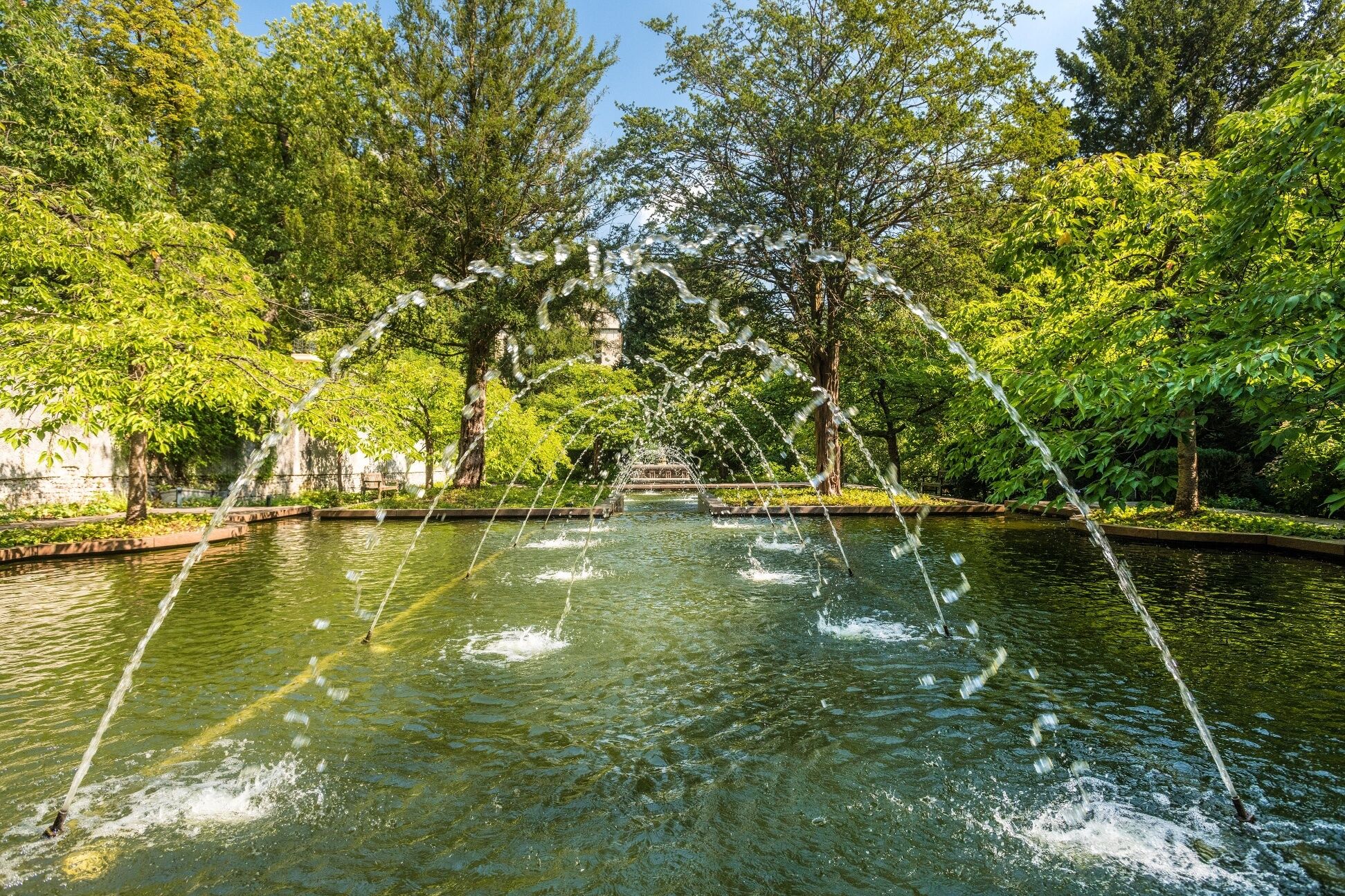
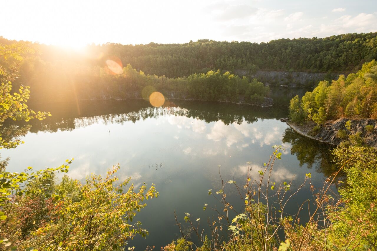

The path runs beside cool streams, through deep forests, and over windy hills; depending on the time of year and the weather, you may need to take a coat.
The narrow paths can be slippery in places, particularly in wet weather.
Be careful at the edges of steep faces, keep your distance.
Use the app’s journey planner
Aprath S-Bahn: S 9 - via 1.5 km marked path
Düssel bus stop: 641
Finish:
Neviges S-Bahn: S 9
Neviges Markt / Bahnhof bus stop: 627, 647 and 649
Parking in Wülfrath-Düssel
Park+Ride car park in Velbert-Neviges
Parking in Velbert-Neviges
Oblíbené prohlídky v okolí
-
4.8
Der Baldeneysteig
středníTuristika 26.0 km -
5.0
Neandertaler Runde
světloTuristika 12.6 km -
3.0
Rotthäuser Höhe und Tal
světloTuristika 9.41 km -
4.7
Stindertal (A2 Trail)
světloTuristika 7.59 km -
5.0
Hühnerroute
středníTuristika 21.6 km -
Entdeckerschleife Biohöfe im Windrather Tal
středníTematická stezka 11.5 km -
5.0
Etappe 07: Schlösser & Ruhrtal-Panorama
středníTuristika 8.53 km -
5.0
Etappe 06: Paradies mit Museumslandschaft
středníTuristika 14.2 km -
5.0
Etappe 04: Erlebnis Elfringhauser Schweiz
středníTuristika 15.4 km -
4.5
A9 Angerthal
středníTuristika 10.8 km
Pěší turistika a stopování


Nenechte si ujít nabídky a inspiraci pro vaši příští dovolenou
Vaše e-mailová adresa byl přidán do poštovního seznamu.





