







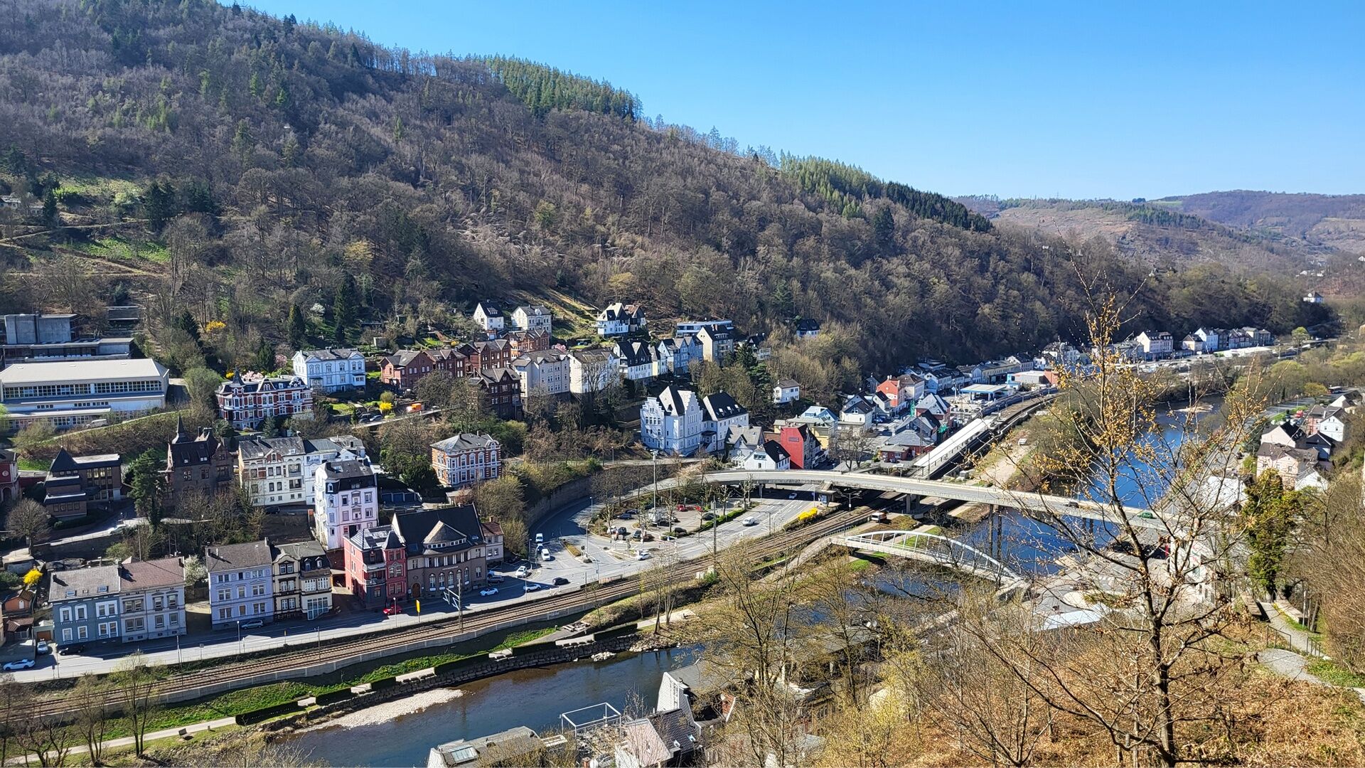
Altena Panorama circular hiking trail (via Sauerland Höhenflug)

From Altena Castle, we first walk quite a distance along the Sauerland Höhenflug quality hiking trail to Hegenscheid airfield. There we leave the long-distance hiking trail to return to Altena via the...
From Altena Castle, we first walk quite a distance along the Sauerland Höhenflug quality hiking trail to Hegenscheid airfield. There we leave the long-distance hiking trail to return to Altena via the Wixberg in a beautiful panoramic loop through the Pragpaul nature reserve.
The final or initial section leads through Altena's town center, past Holtzbrinck Castle, the adventure elevator and the German Wire Museum.


Sturdy shoes and a rain jacket may also be required in the summer months.
www.tourismus.altena.de
If you want to save yourself a few meters in altitude, take the adventure elevator to Altena Castle in the city centre.


Oblíbené prohlídky v okolí
-
5.0
K2 – Zur Falkenlei in Neuenrade-Küntrop
středníTuristika 10.4 km -
Wiblingwerde 12
světloTuristika 10.8 km -
Hohenlimburg
světloTuristika 13.4 km -
5.0
Neuenrade: Walderlebnispfad Igelweg
světloTuristika 4.90 km -
4.0
Rundwanderweg über die Höhen von Altena
středníTuristika 16.6 km -
Forest air & Lenne view
středníTuristika 14.7 km -
Breckerfeld
středníTuristika 15.3 km -
Rundwanderweg in Langscheid "Schlösser Tour"
středníTuristika 14.2 km -
Sonntagslauf Iserlohn-Brandkopf-Danzturm-Forsthaus Löhnen-Kesbern-Dahlsen-Zur Mühle-Hegenscheid-Lössel
světloTuristika 18.2 km -
Sauerland-Waldroute - Etappe 2: Stephanopler Tal - Volkringhausen
středníTuristika 12.5 km
Pěší turistika a stopování


Nenechte si ujít nabídky a inspiraci pro vaši příští dovolenou
Vaše e-mailová adresa byl přidán do poštovního seznamu.





