







Circular hiking trail Meinerzhagen Heed (A4)

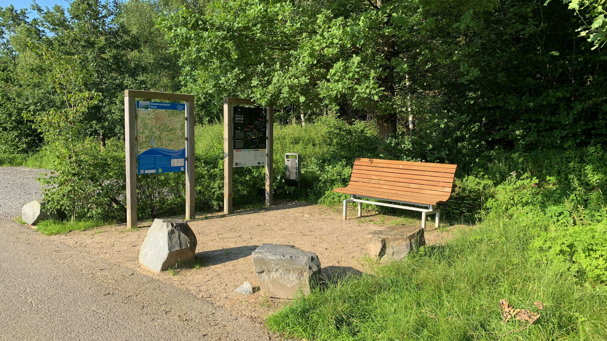
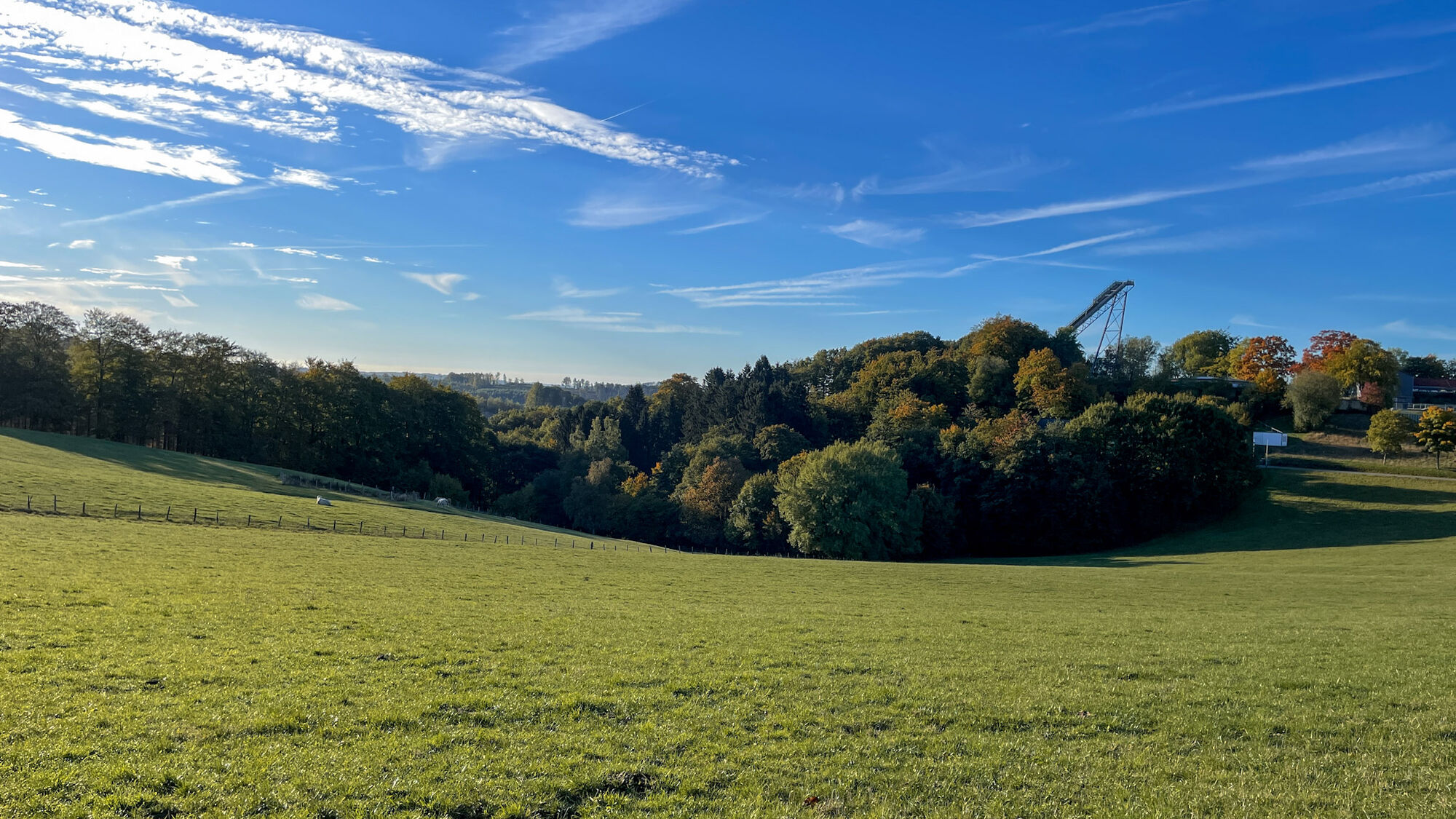
The circular hiking trail A4 starts at the Heed hiking parking lot and leads through the idyllic villages of Heed, Redlendorf, and Winzenberg up to the Meinhardus-Mattenschanzen.


First aid: In case of emergency, dial the emergency number 112. Provide the rescue point number. Rescue points are marked access points in the forest for emergency vehicles. If the nearest rescue point is not known, your location can be directly retrieved via AML (Advanced Mobile Location) during the emergency call.
As a guest in the forest, we show understanding, respect, and proper behavior to ensure the benefit, protection, and recreation of our forest.

Oblíbené prohlídky v okolí
-
4.5
Sagenweg Lindlar-Frielingsdorf
středníTuristika 14.4 km -
4.0
Rundweg an der Versetahlsperre
středníTuristika 10.9 km -
5.0
Um die Nordhelle
středníTuristika 6.81 km -
Talsperren Genkel und Agger
světloMountainbike 22.5 km -
5.0
Spazier- und Wanderweg Genkeltalsperre
středníTuristika 9.85 km -
4.0
Wasser-Weitblick-Pfad (Rundweg am Sauerland-Höhenflug)
středníTuristika 11.8 km -
5.0
Rundwanderweg Valbert (Jagdhorn) - Historischer Jagdhornweg Valbert
středníTematická stezka 10.8 km -
Plettenbergs größtes Schwimmbecken: Die Oestertalsperre
středníTuristika 7.23 km -
4.0
Drolshagen A4 varied and relaxing
středníTuristika 10.3 km -
4.0
Nordic Walking (red)
středníNordic Walking 6.90 km
Pěší turistika a stopování


Nenechte si ujít nabídky a inspiraci pro vaši příští dovolenou
Vaše e-mailová adresa byl přidán do poštovního seznamu.





