Rüthen - Kalvarienberg - Romantik Landhotel Knippschild - Biesenberg
střední
Navigace na stránkách
Navigace na stránkách
Pořiďte si tuto prohlídku do mobilního telefonu
Rüthen - Kalvarienberg - Romantik Landhotel Knippschild - Biesenberg
střední
Turistika
14.28
km
Naskenujte QR kód a spusťte navigaci v aplikaci bergfex.

Pěší turistika a stopování


Rüthen - Kalvarienberg - Romantik Landhotel Knippschild - Biesenberg
střední
Vzdálenost
14.28
km
Doba trvání
03:41
h
Ascent
397
hm
Hladina moře
296 -
431
m
Stažení skladby
Rüthen - Kalvarienberg - Romantik Landhotel Knippschild - Biesenberg
střední
Turistika
14.28
km
Trasa
Kalvarienberg
(428 m)
Summit
2.0 km
Kallenhardter Kreuzweg
(328 m)
Místo konání bohoslužeb
2.6 km
Siechenkapelle
(321 m)
Místo konání bohoslužeb
2.8 km
Kallenhardt-Heide
(352 m)
Vesnice
4.8 km
Kallenhardt
(410 m)
Vesnice
8.6 km
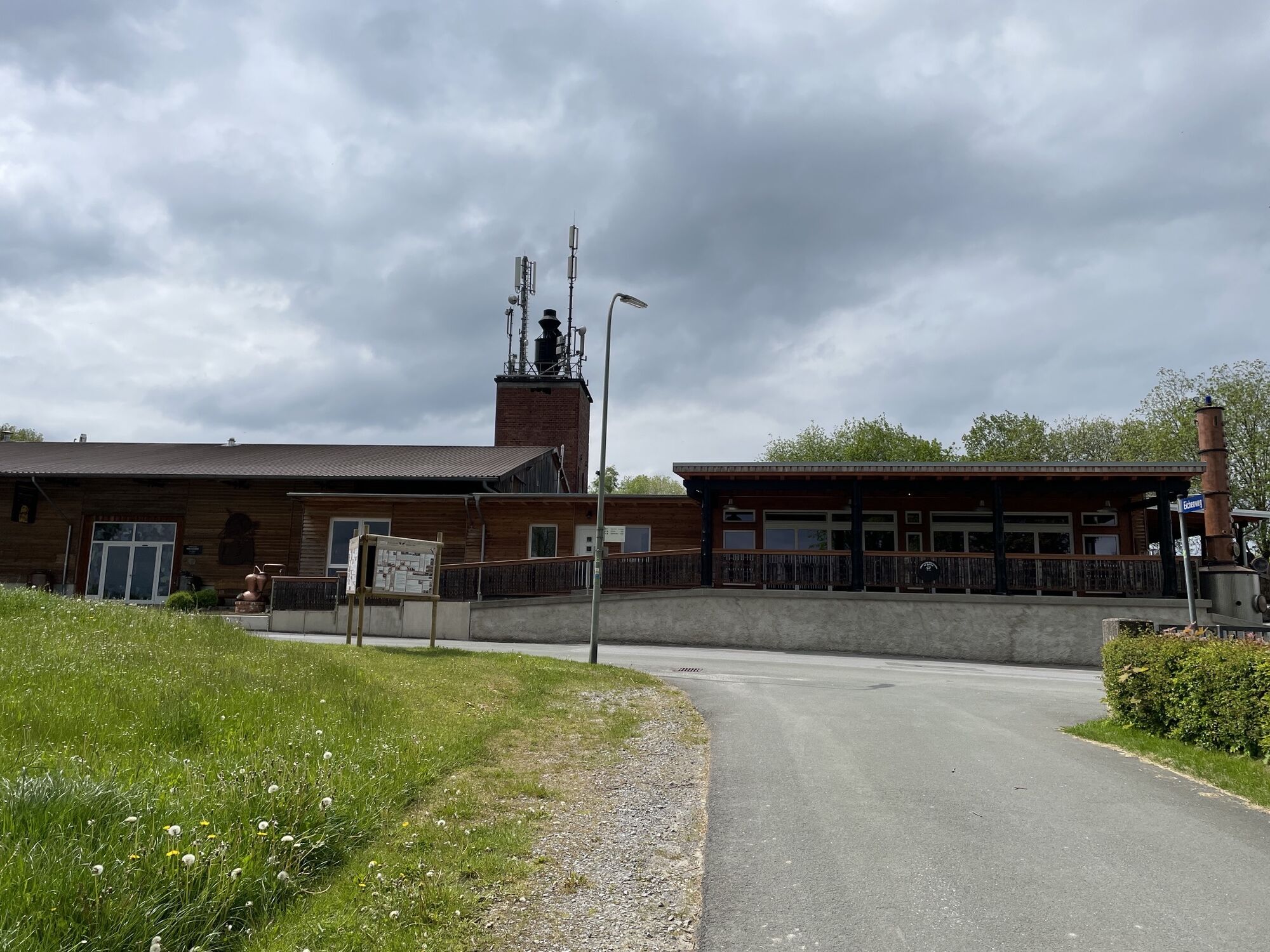
Romantik Landhotel Knippschild
(414 m)
Restaurace
8.6 km
Biesenberg
(415 m)
Summit
11.9 km
Trasa
Rüthen - Kalvarienberg - Romantik Landhotel Knippschild - Biesenberg
střední
Turistika
14.28
km
Kalvarienberg
(428 m)
Summit
2.0 km
Kallenhardter Kreuzweg
(328 m)
Místo konání bohoslužeb
2.6 km
Siechenkapelle
(321 m)
Místo konání bohoslužeb
2.8 km
Kallenhardt-Heide
(352 m)
Vesnice
4.8 km
Kallenhardt
(410 m)
Vesnice
8.6 km
Romantik Landhotel Knippschild
(414 m)
Restaurace
8.6 km
Biesenberg
(415 m)
Summit
11.9 km
Zatím žádné recenze
Oblíbené prohlídky v okolí
-
4.0
MTB – circular route in the Bilstein Valley no. 47
středníJízda na kole 17.8 km -
4.0
BestWeg Andreasberg
středníTuristika 8.33 km -
Sauerland Forest Route: Quality hiking trail from Iserlohn to Marsberg
střednídálková pěší trasa 245.8 km -
Monastery Way - a spiritual hiking route from Königsmünster Abbey to Bestwig Mountain Monastery - northern route KW
středníTuristika 15.6 km -
Swinging Path Ostwig
středníTematická stezka 1.67 km -
BestWeg Velmede-Bestwig
středníTuristika 10.6 km -
BestWeg Nuttlar
středníTuristika 12.2 km -
Historischer Belecker Stadtrundgang
středníTuristika 1.82 km -
Circular hike Haus Welschenbeck
středníTuristika 1.06 km -
Mescheder Höhenwanderweg - Etappe 3 (M)
Turistika 15.6 km
Pěší turistika a stopování

Více než 550.000 návrhů výletů, podrobné mapy a intuitivní plánovač tras dělají z aplikace nezbytnou výbavu pro všechny milovníky přírody.

Nenechte si ujít nabídky a inspiraci pro vaši příští dovolenou
Přihlaste se k odběru newsletteru
Chyba
Došlo k chybě. Zkuste to prosím znovu.
Děkujeme za vaši registraci
Vaše e-mailová adresa byl přidán do poštovního seznamu.
Zájezdy po celé Evropě
Rakousko
Švýcarsko
Německo
Itálie
Slovenia
Francie
Nizozemsko
Belgie
Polsko
Lichtenštejnsko
Česko
Slovensko
Španělsko
Chorvatsko
Bosna a Hercegovina
Lucembursko
Andorra
Portugal
Iceland
United Kingdom
Ireland
Greece
Albania
North Macedonia
Malta
Norway
Montenegro
Moldova
Kosovo
Hungary
San Marino
Romania
Estonia
Latvia
Belarus
Cyprus
Lithuania
Serbia
Bulgaria
Monaco
Denmark
Sweden
Finland