


Road Bike - Diemelsee & Bruchhauser Steine


After starting in Brilon, the route is initially rolling until Olsberg. Then follows the first highlight of the route: the path leads below the Bruchhauser Steine and then over the Rhine-Weser watershed....
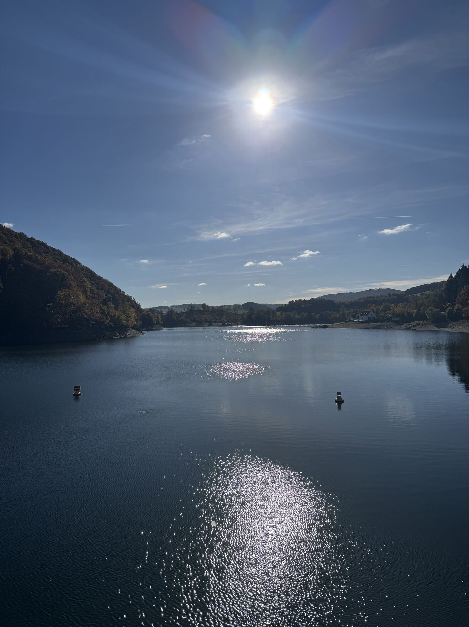
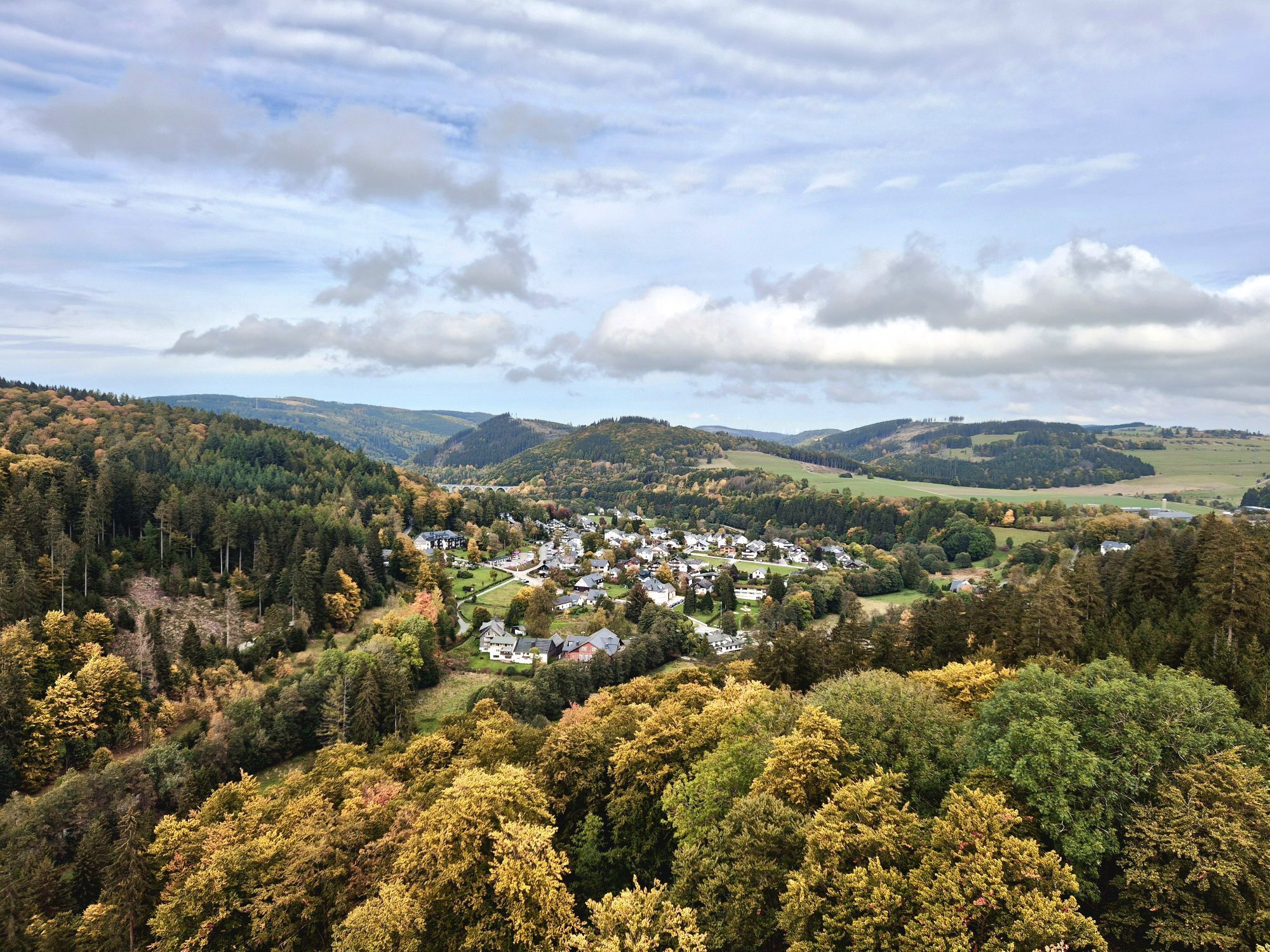
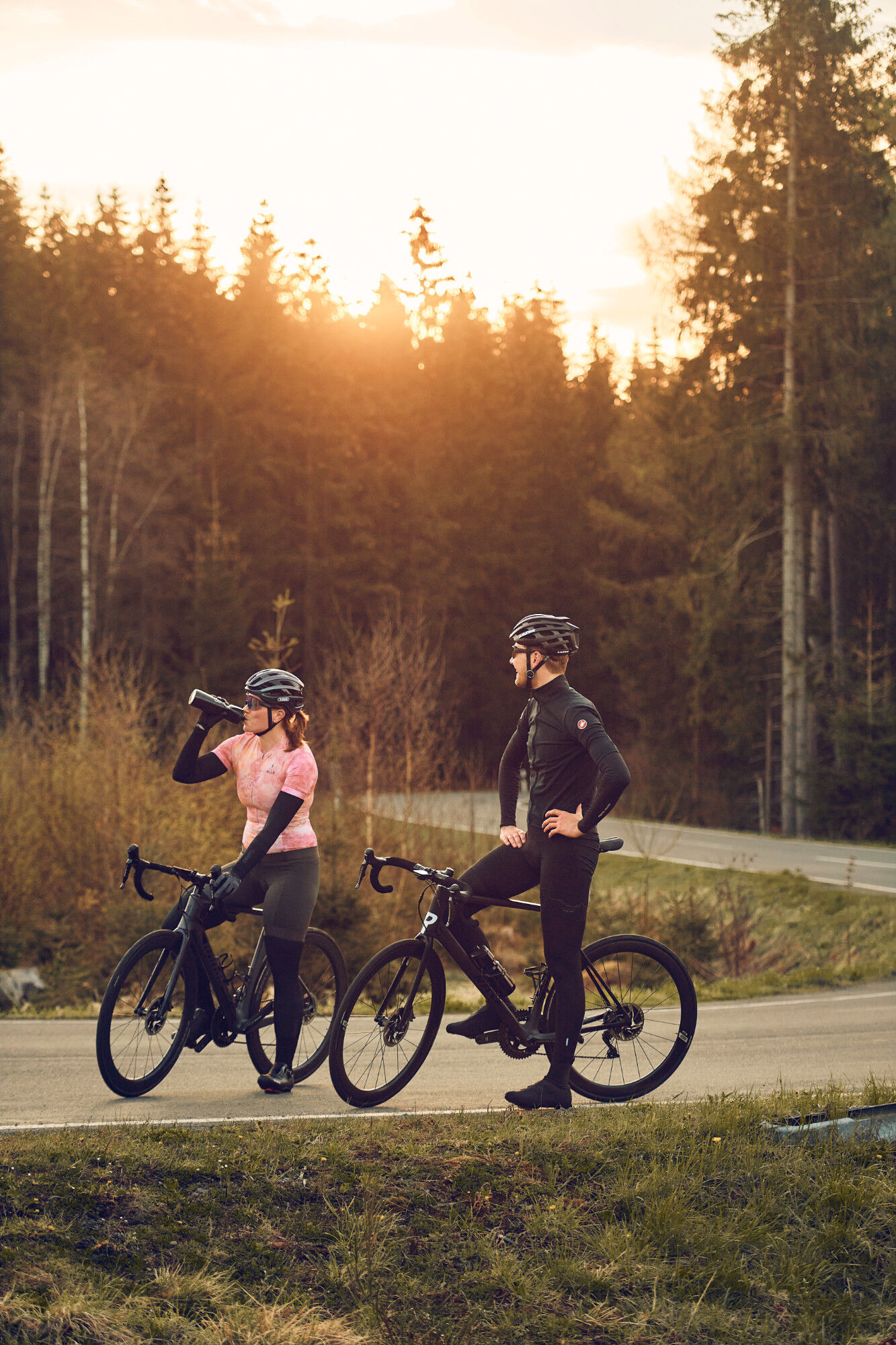
After starting in Brilon, the route is initially rolling until Olsberg. Then follows the first highlight of the route: the path leads below the Bruchhauser Steine and then over the Rhine-Weser watershed. Then flat through Willingen and further to Usseln. After Bömighausen follows a longer ascent before descending further to the Diemelsee. After the lake, behind Bontkirchen awaits the toughest climb of the route: the ride over the Buttenberg. After Hoppecke, it goes uphill through some hairpin bends before the final descent back to Brilon.

Brilon – Scharfenberg – Antfeld – Olsberg – Elleringhausen – Willingen – Usseln – Bömighausen – Schweinsbühl – Heringhausen – Diemelsee – Bontkirchen – Hoppecke – Brilon
Tax Office Brilon
Webové kamery z prohlídky
-
Olsberg
-
Talstation Ettelsberg-Seilbahn
-
Talstation Ettelsberg-Seilbahn
-
Talstation Ettelsberg-Seilbahn
-
Talstation Ettelsberg-Seilbahn
-
Talstation Ettelsberg-Seilbahn
-
Kurhotel Hochsauerland 2010
-
Kurhotel Hochsauerland 2010
-
Kurhotel Hochsauerland 2010
-
Kurhotel Hochsauerland 2010
-
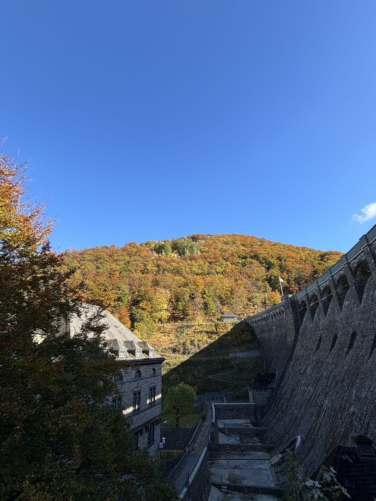
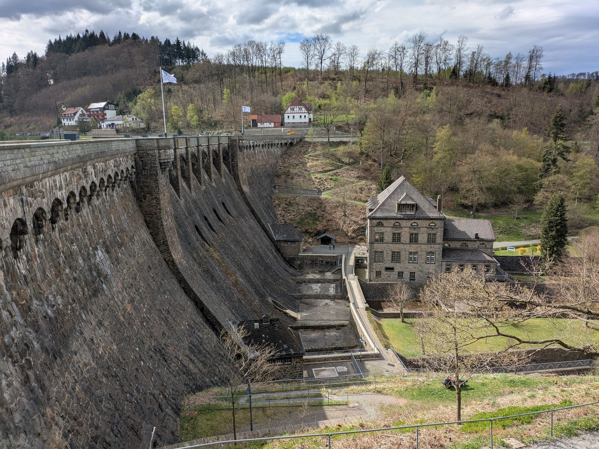
Diemelsee
-
Sternrodt Skilift
-
Hochheideturm - Ettelsberg
-
Diemelsee – Heringhausen – Strandbad mit Seepromenade
-
Skywalk
-
Skywalk
-
Skywalk
-
Skywalk
-
Skywalk
-
Stern Hotel Sauerland
-
Schwalefeld - Cafe Fernblick
-
Willinger Brauhaus
-
Ettelsberg
-
Olsberg Eisenberg
-
Sonnenhang
-
Talstation Ettelsberg Seilbahn
-
Ettelsberg Seilbahn Bergstation/ Hochheideturm
-
Mountainbike-Strecke K1
-
K1 Gipfelkreuz
-
Bikepark (Sommer) / Skipiste an K1-Hütte (Winter)
-
Spielplatz, Bergsee, K1-Gipfel
-
Spielplatz am Hochheideturm
-
Ettelsbergplateau
-
Ettelsberghütte
-
Zum Wilddieb
Oblíbené prohlídky v okolí
-
4.7
Bruchhauser Steine B1
středníTuristika 11.8 km -
5.0
Circular route Skywalk/Hill - Ettelsberg
světloTuristika 4.10 km -
4.5
Bruchhausener Steine
heavyTuristika 5.15 km -
4.8
Rundwanderung Diemelsee
světloTuristika 8.54 km -
5.0
Rothaarsteig-Spur - Grönebacher Dorfpfad
středníTuristika 10.6 km -
4.0
Willingen (W8)
středníTuristika 12.9 km -
5.0
Willingen (W6)
středníTuristika 12.9 km -
5.0
Strycktal circular route (Willingen)
středníTuristika 3.99 km -
5.0
Wandertipp: Rundweg Ettelsberg-Mühlenkopfschanze
světloTuristika 7 km -
5.0
Upländer meditation path
světloTuristika 17.6 km

Pěší turistika a stopování


Nenechte si ujít nabídky a inspiraci pro vaši příští dovolenou
Vaše e-mailová adresa byl přidán do poštovního seznamu.