







Möhnetal cycle path with children - Brilon to Warstein
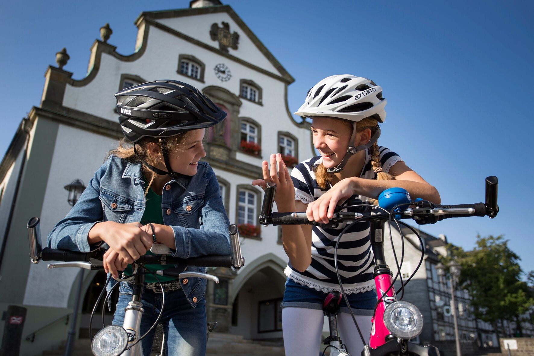
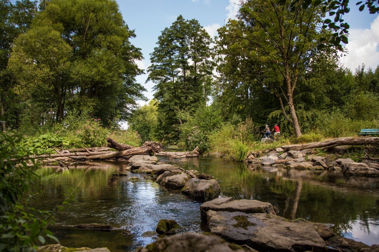
Much can be discovered along the route: besides attractive places, the Möhnetal presents itself from its most beautiful side. Floodplain landscapes with lush meadows, green forests and gentle hills shape...
Much can be discovered along the route: besides attractive places, the Möhnetal presents itself from its most beautiful side. Floodplain landscapes with lush meadows, green forests and gentle hills shape the scenery throughout the tour.
The route starts in the Hanseatic town of Brilon and initially follows almost level the railway cycle path along the Möhne river gently downhill.
The Möhnetal is undergoing change: through the project “Möhne Life” parts of the floodplain have been renaturalized. Flower-rich valley meadows and open floodplain forests are being restored for many animal and plant species of the Central Uplands valleys and will provide cyclists with an even greater natural experience in the future.
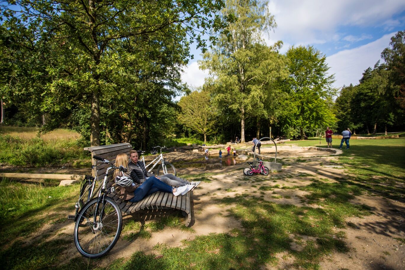
For the little cyclists, this stage offers a special highlight with the Bibertal. In good summer weather and with some time, the outdoor pool "Biberbad" with beach area and giant slide can be enjoyed. After a refreshment in Café-Bibertal, the route continues to the destination Belecke with its historic old town.


Junctions 09, 10, 38, 37, 36
Since 2015, the entire Sauerland region has been signposted with the junction system:
www.radeln-nach-zahlen.de/de/Das-Konzept-Radeln-nach-Zahlen/Knotenpunktkarte
Places: Brilon - Rüthen/Bibertal - Warstein-Belecke
Ano
A list of helpful tips about equipment can be found at:
www.adfc.de/themen/auf-tour/radtourenplanung/checkliste-packen/
In the entire region (Soest district, Hochsauerlandkreis, Märkischer Kreis, Olpe district and Siegen-Wittgenstein district) a rescue point system is installed. Rescue points can be found, among other places, on the information boards at the junctions of the South Westphalia cycling network.
At the starting point you will find a parking lot suitable as a starting point for your bike ride.
The start point of the route can be reached via Brilon/Stadt train station.
Hiking car park Külbensteine as well as other parking lots in Brilon.
Take a detour to the Bibertal.
Oblíbené prohlídky v okolí
Paderborner Land Route
středníJízda na kole 251.4 km- 4.0
MTB – circular route in the Bilstein Valley no. 47
středníJízda na kole 17.8 km - 5.0
Monastery Way - a spiritual hiking route from Königsmünster Abbey to Bestwig Mountain Monastery - northern route KW
středníTuristika 15.6 km Fünf-Bäche-Weg
středníTuristika 25.6 kmSauerland Forest Route: Quality hiking trail from Iserlohn to Marsberg
střednídálková pěší trasa 245.8 km- 3.0
Sauerland-Waldroute mit Bus und Bahn: Von Hirschberg nach Bestwig (Westfalenbus)
heavyTuristika 26.4 km Swinging Path Ostwig
středníTematická stezka 1.67 kmThe "Rabennest Route" in and around Kallenhardt
středníTuristika 19.1 km- 5.0
Winterwanderweg: Briloner und Gudenhagener Poppenberg
středníZimní turistika 5.96 km Circular hike Haus Welschenbeck
středníTuristika 1.06 km

Pěší turistika a stopování


Nenechte si ujít nabídky a inspiraci pro vaši příští dovolenou
Vaše e-mailová adresa byl přidán do poštovního seznamu.





