


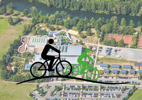
Plettenberg: AquaMagis Tour XS
The circular route begins in the immediate vicinity of the AquaMagis leisure pool in Plettenberg on the Lenne cycle path. Initially, you gently ride a bit along the Lenne to warm up. Just behind the confluence...
The circular route begins in the immediate vicinity of the AquaMagis leisure pool in Plettenberg on the Lenne cycle path. Initially, you gently ride a bit along the Lenne to warm up. Just behind the confluence of the Else into the Lenne, the path turns right. Now the routes run along the Else and you pass through Plettenberg's town center. The first small climb happens before the village of Köbbinghausen. Then it continues towards the museum station of the Märkische Museum Railway.
A short break is recommended here; on operating days, you can ride along in one of the lovingly restored carriages pulled by the historic steam locomotive.
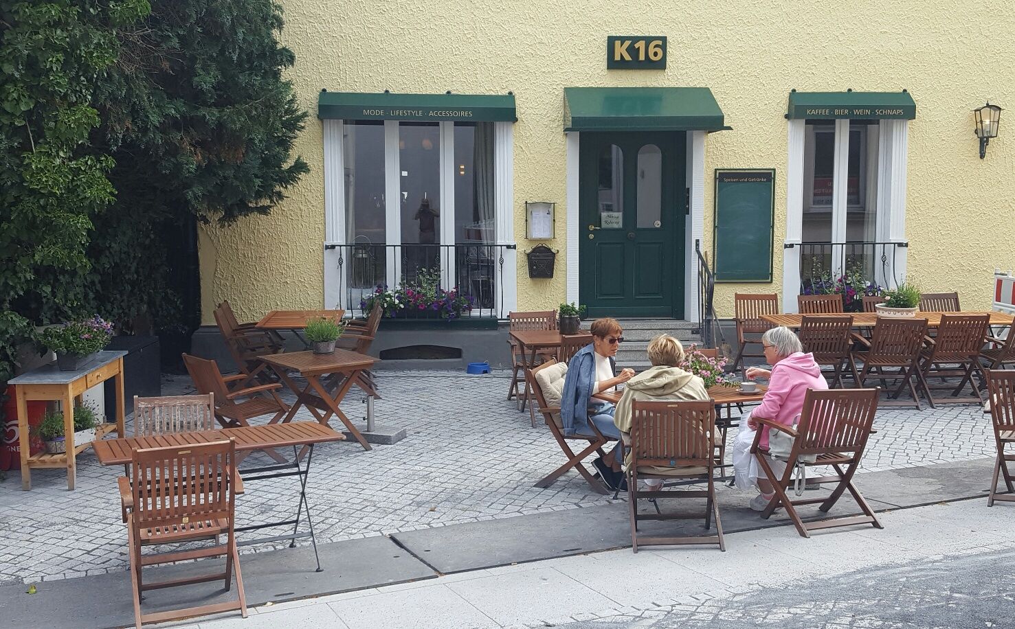
After the Hüinghausen airfield, the more challenging part of the route begins as Herscheid is located somewhat higher. In Herscheid, besides numerous places to stop for refreshments, there is also a café and an ice cream parlour along the route. Upon reaching the Fattorel ice cream café in Herscheid, the route sharply turns right at the shooting hall and heads into the mountains towards Rärin. Noteworthy are several sections with beautiful views over the mountains. Before Rärin, the path branches off towards Wellin. The Wellin forest hotel invites you for a leisurely rest.
Next begins the wild-romantic part of the tour. The cycle path initially runs over an easy-to-ride gravel surface, then transitions into a well-ridable forest path. Eventually, it quickly descends on asphalt, and after a few minutes and several changes of direction, the route turns left onto a well-graveled forest path that mostly leads downhill. Finally, the cyclist returns to civilization and arrives in Pungelscheid.
The districts of Pungelscheid, Riesei, and Königsburg are passed before crossing the Lenne and arriving at the town hall in Werdohl.
From Werdohl, the cycle path first runs alongside the road, then detours and runs through the Kettling industrial area near McDonald's along the railway. After the Bauckloh industrial area, the cycle path joins the federal road, which requires careful riding for about 500 meters. In the Teindeln district, the path leaves the road, crosses railway and Lenne, and meanders gently through the valley towards Plettenberg.
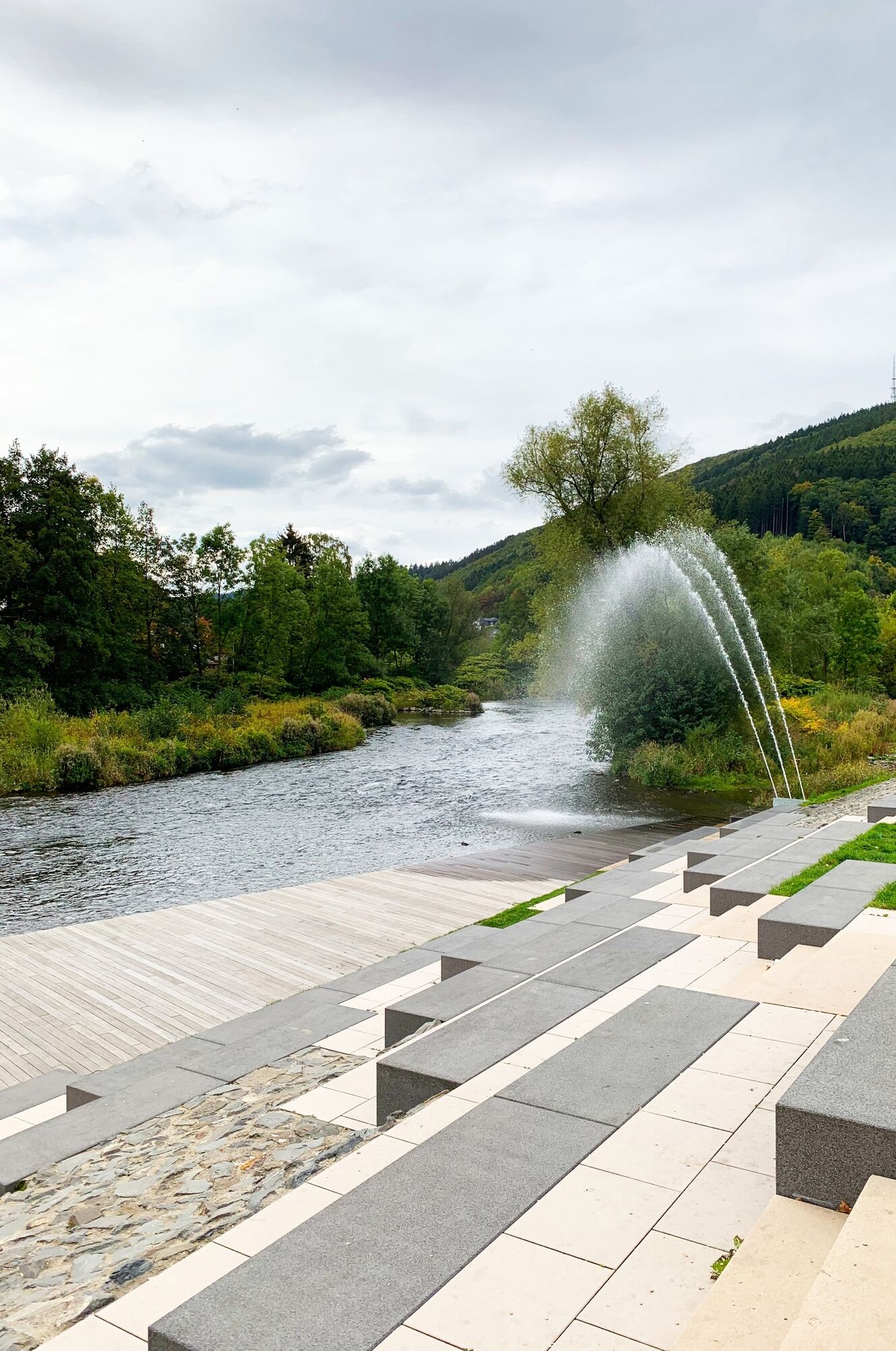
Now the route goes again over and along the Lenne. After the Lenne bridge in Ohle, the last small climb can be overcome. The tour ends at the AquaMagis leisure pool in Plettenberg.
The 41 km tour with 490 meters of elevation gain is a sportily ambitious circuit, featuring a steadily ascending profile until halfway with moderate slopes and no extremely steep sections. There are numerous opportunities to take breaks. The route can be ridden by trained touring cyclists, e-bikers, and mountain bikers. About 3 hours of pure riding time should be planned. Since the route also runs on smaller roads and a short section on the federal road, it is suitable for older children who are confident in traffic. The tour is not suitable for road cyclists.

Plettenberg - Herscheid - Werdohl - Plettenberg
Bus stop map Plettenberg, Grünestraße: https://www.mvg-online.de/fileadmin/user_upload/user_upload/Dokumente/Karten/Haltestellenumgebungsplaene/Plettenberg_Gruenestrasse_ZOB.pdf
Bus stop map Plettenberg, station: https://www.mvg-online.de/fileadmin/user_upload/user_upload/Dokumente/Karten/Haltestellenumgebungsplaene/Plettenberg_Bahnhof.pdf
Line 75, AquaMagis stop: https://www.mvg-online.de/fileadmin/user_upload/user_upload/Dokumente/Fahrplaene/Linie075.pdf
Line 90, AquaMagis stop: https://www.mvg-online.de/fileadmin/user_upload/user_upload/Dokumente/Fahrplaene/Linie090.pdf
Oblíbené prohlídky v okolí
-
4.0
Rundweg an der Versetahlsperre
středníTuristika 10.9 km -
4.5
2 Burgen Weg
světloTuristika 16.9 km -
5.0
From Wildewiese via Faulebutter to the pumped storage plant
Turistika 15.5 km -
5.0
Um die Nordhelle
středníTuristika 6.81 km -
5.0
Bommecketal - Naturerlebnisweg in Plettenberg
světloTuristika 4.07 km -
Plettenbergs größtes Schwimmbecken: Die Oestertalsperre
středníTuristika 7.23 km -
P-Weg - Der Plettenberger Rundwanderweg
heavyTuristika 57.6 km -
Herscheid - Plettenberg: Museumseisenbahntour mit Versetalsperre
heavyJízda na kole 47.7 km -
The Stockum Sculpture Route
středníTuristika 3.54 km -
Plettenberg: Hestenberg circular route PE2
středníTuristika 7.61 km
Pěší turistika a stopování


Nenechte si ujít nabídky a inspiraci pro vaši příští dovolenou
Vaše e-mailová adresa byl přidán do poštovního seznamu.