







Ahrsteig entire route stages 1-7 (approx. 100km)
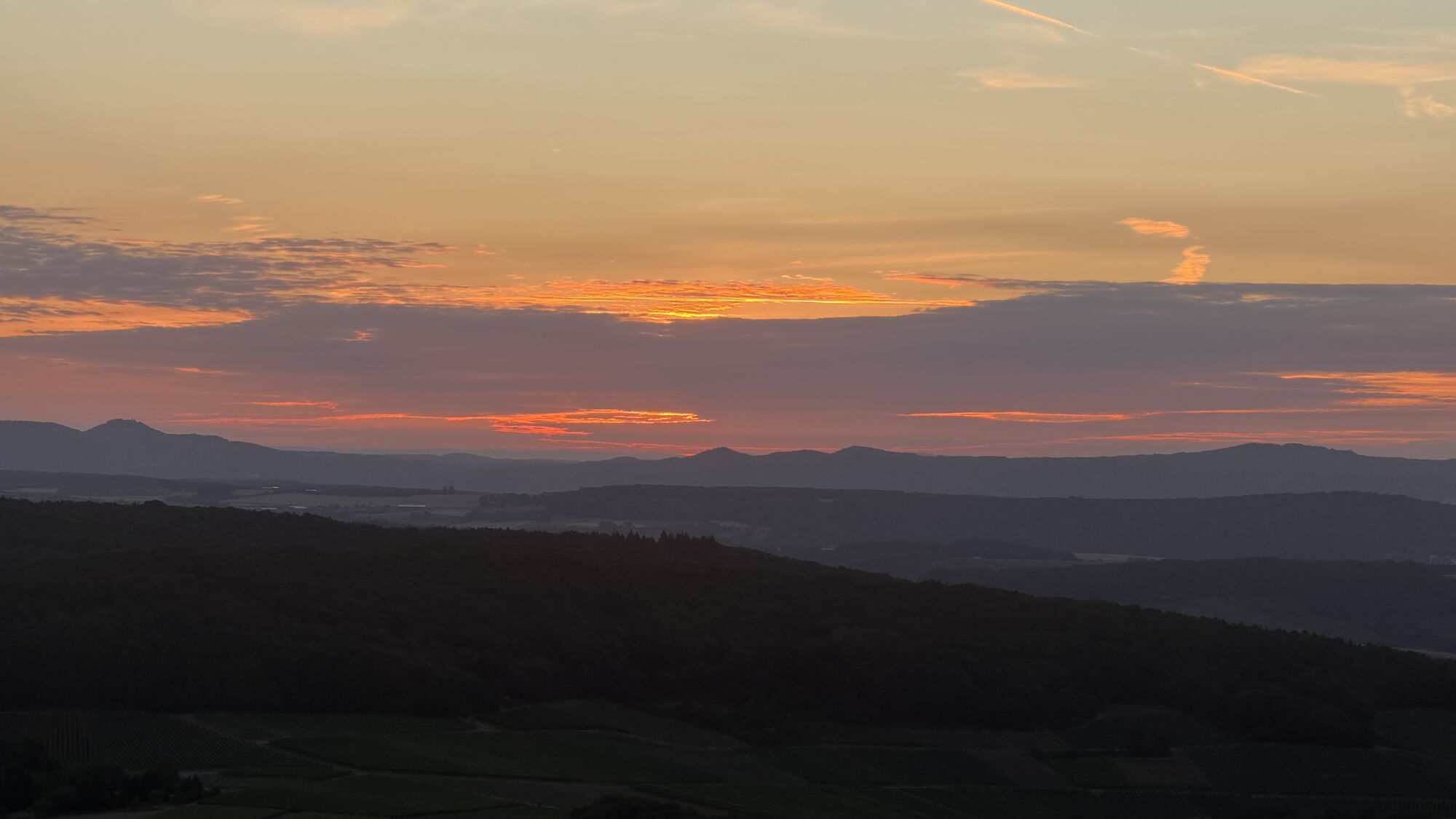
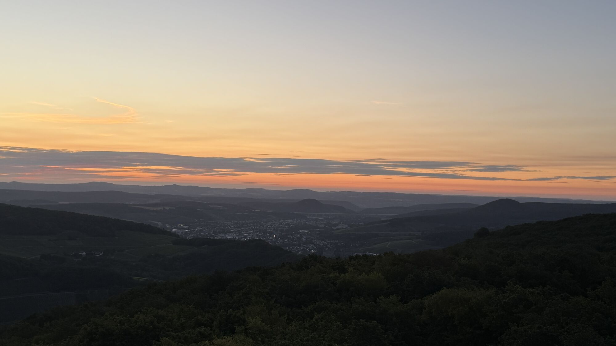
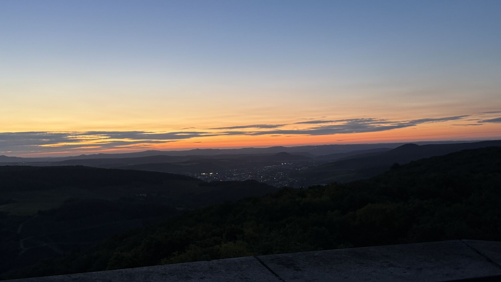
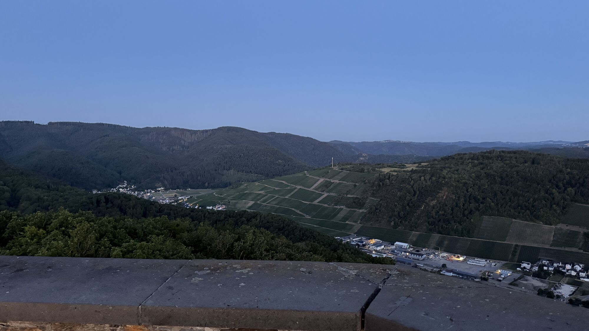
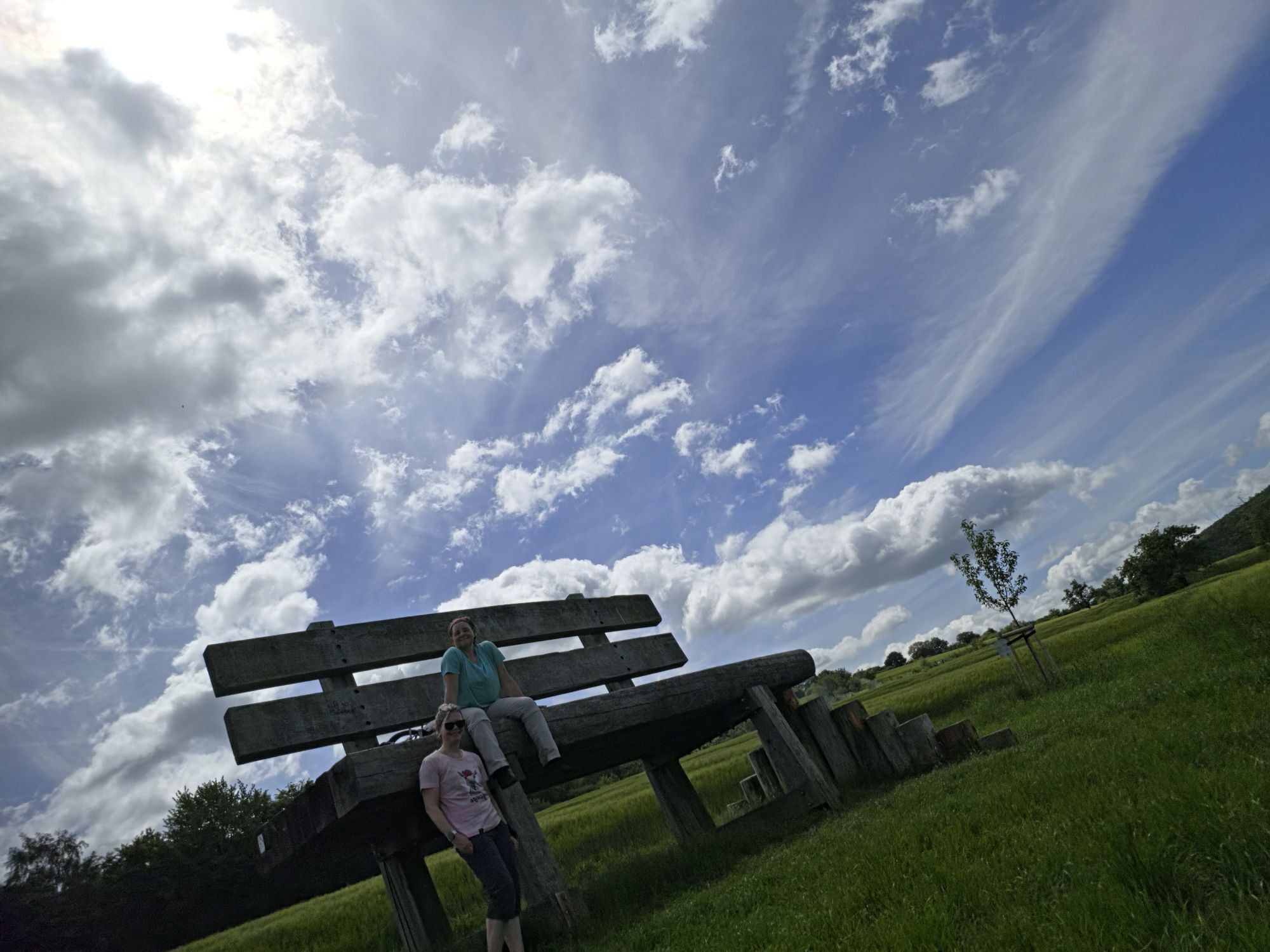
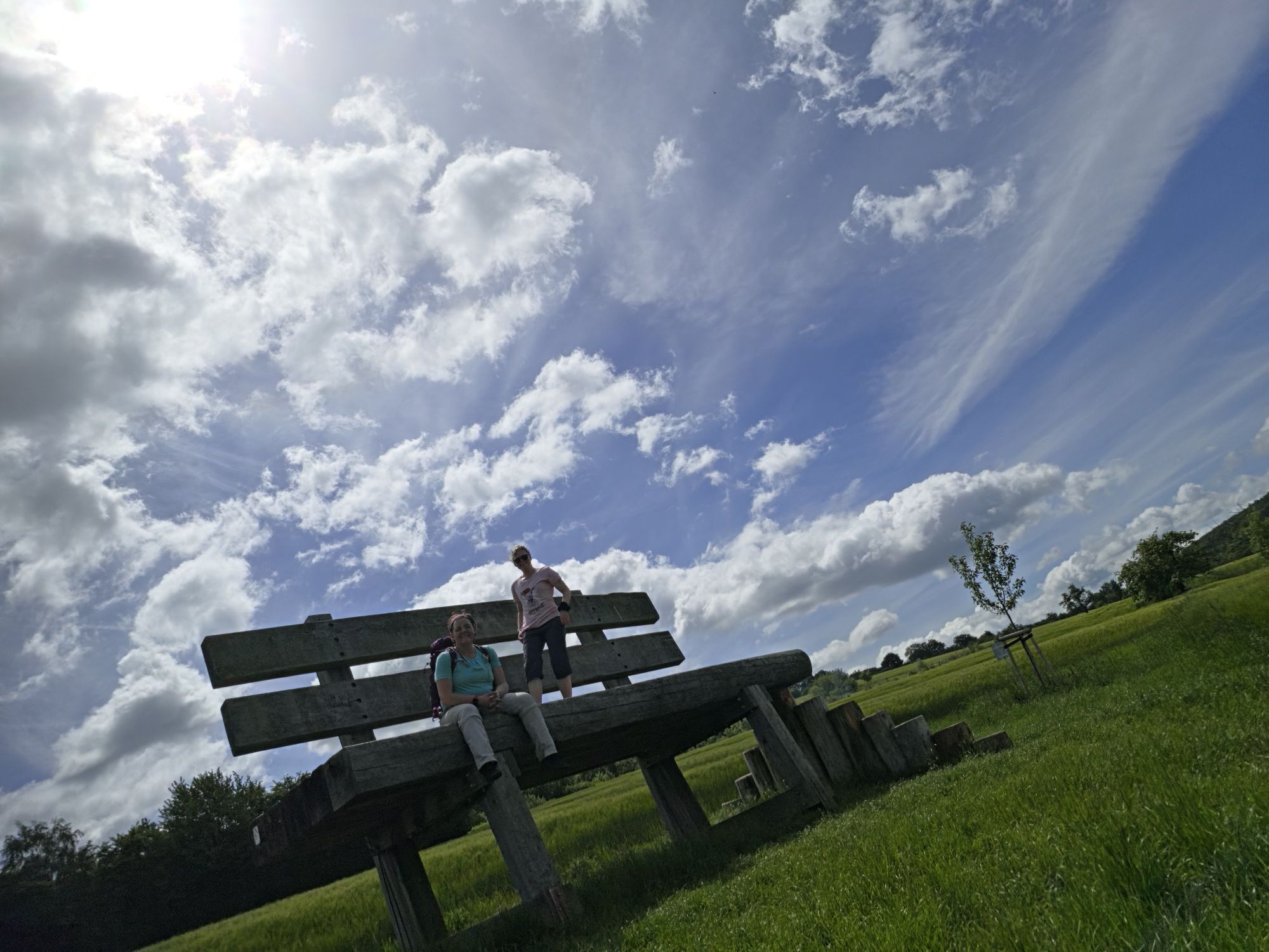
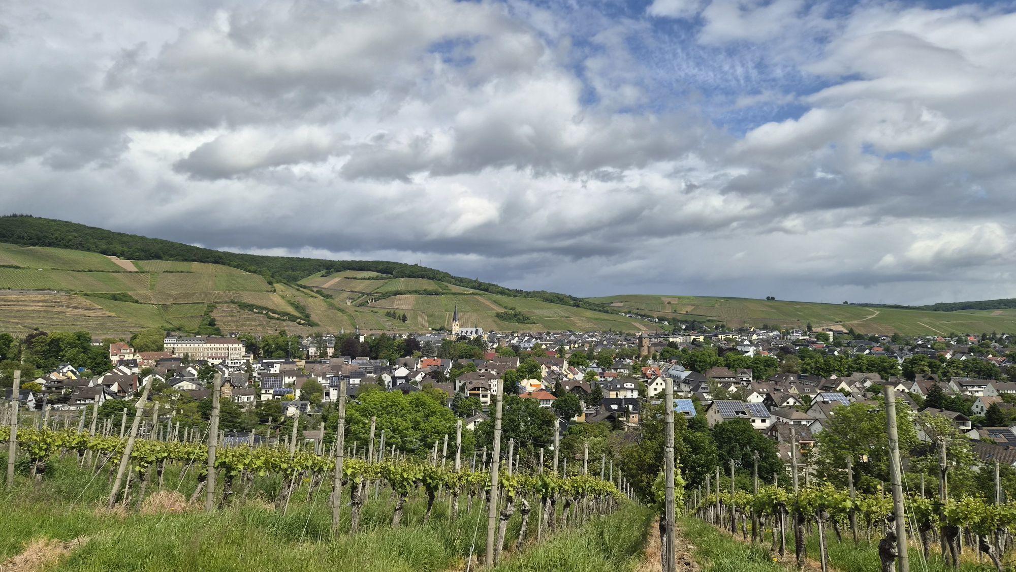
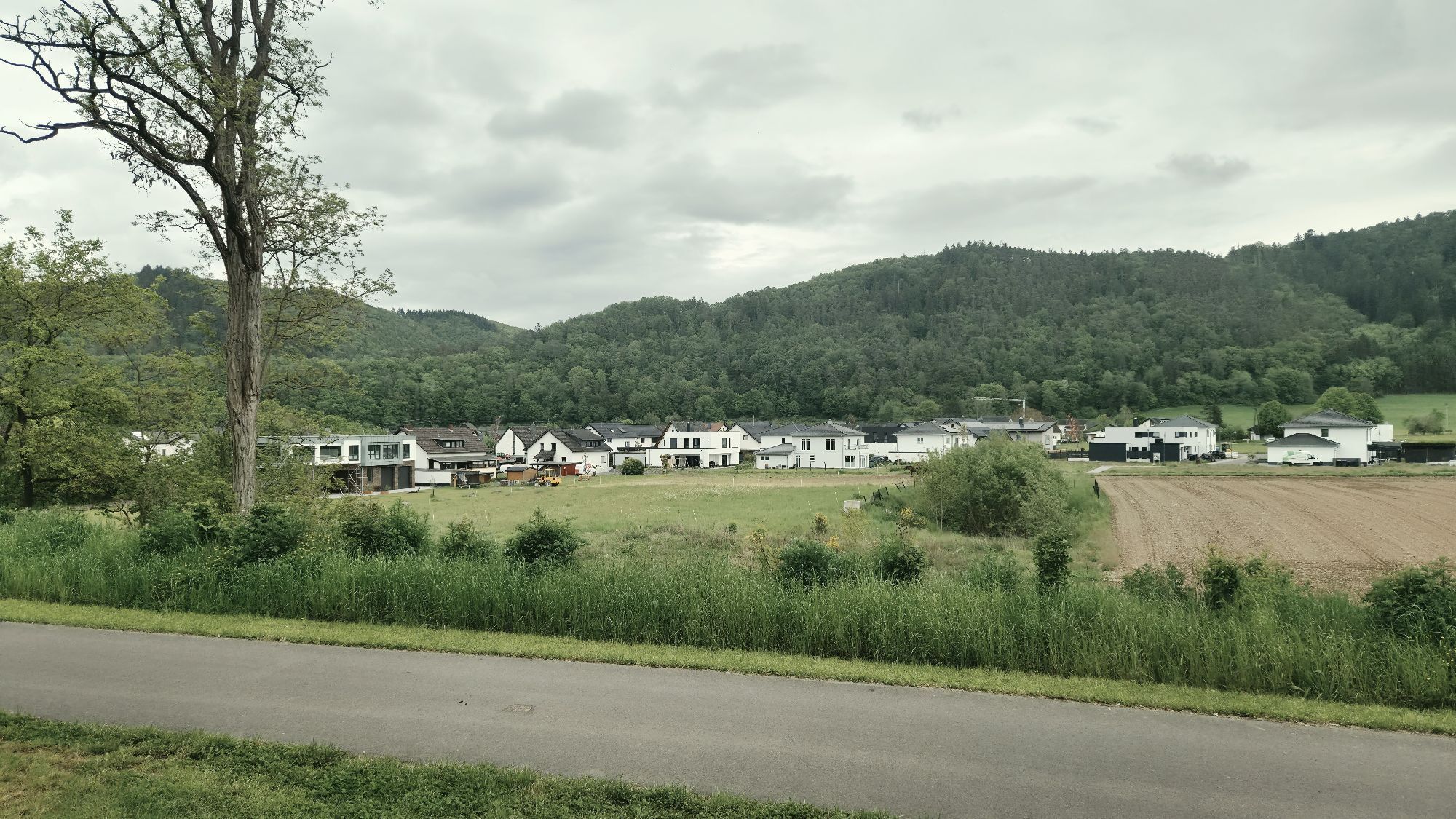
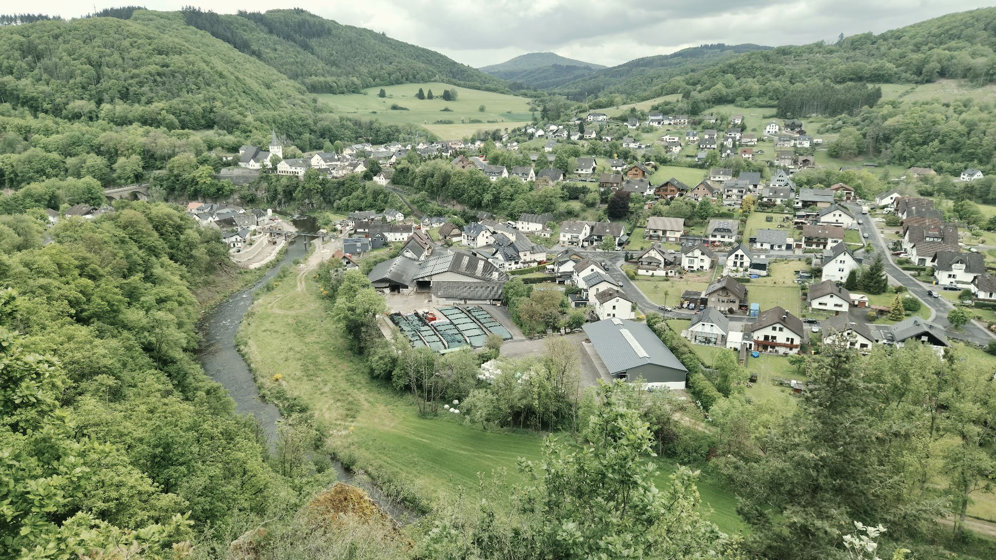
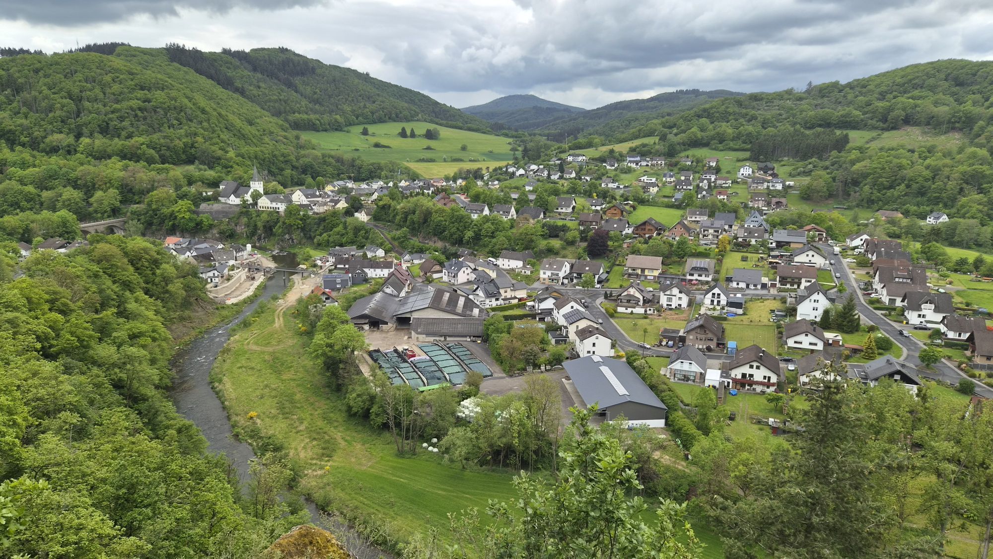
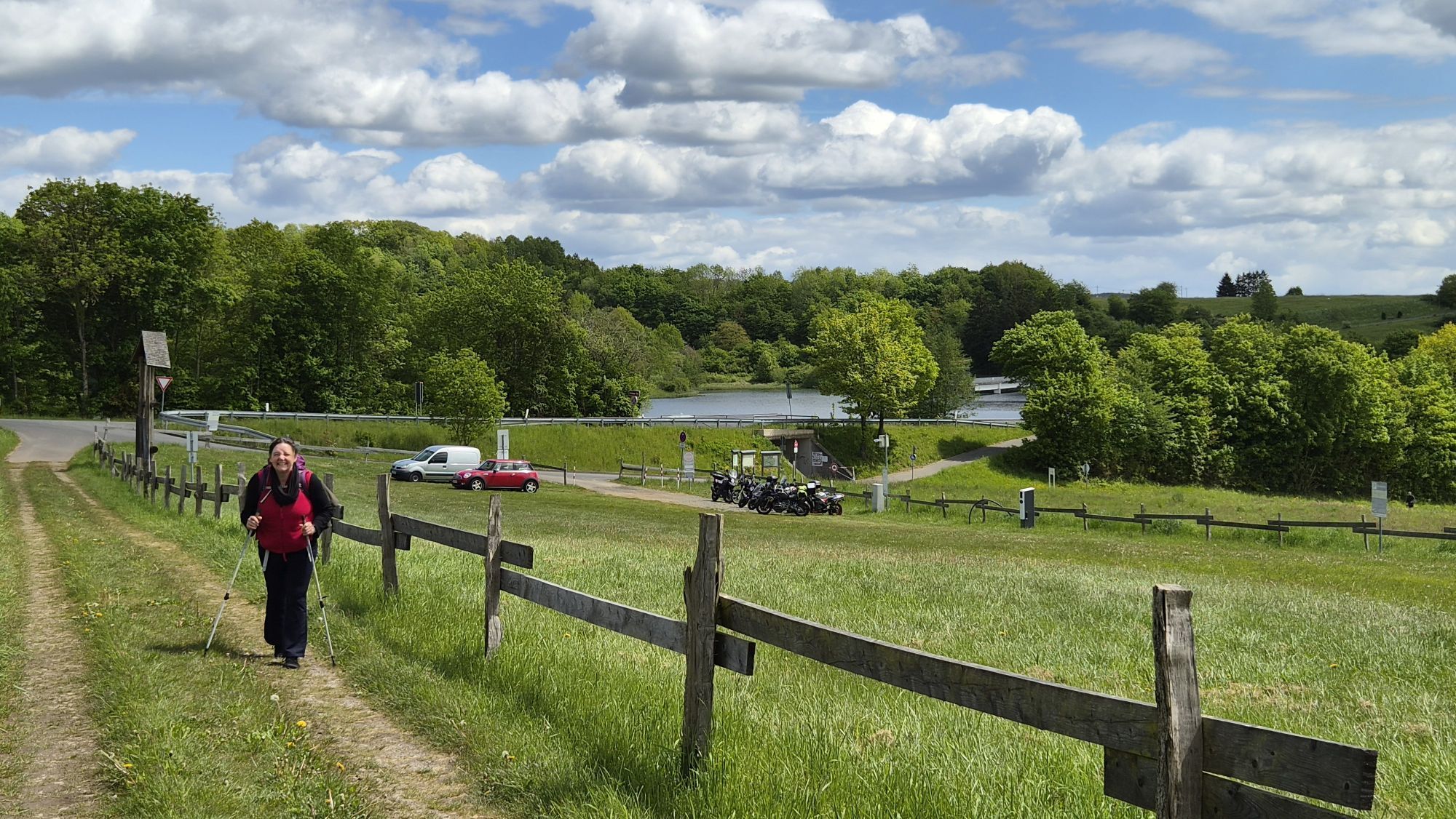
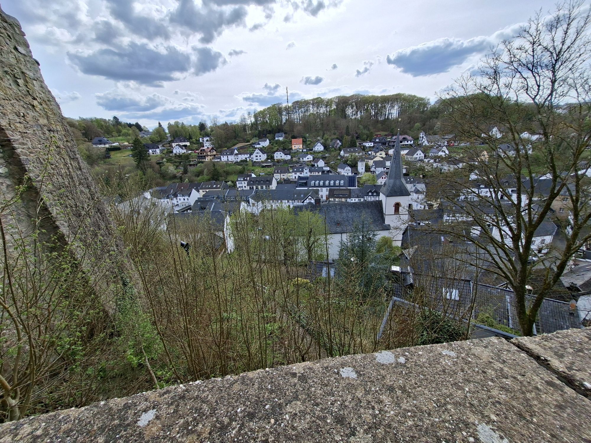
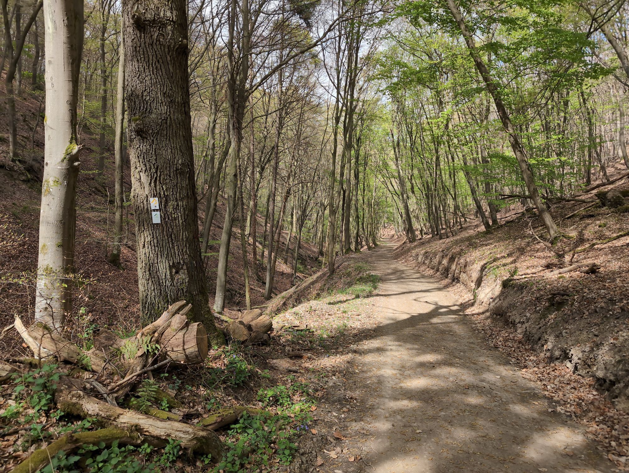
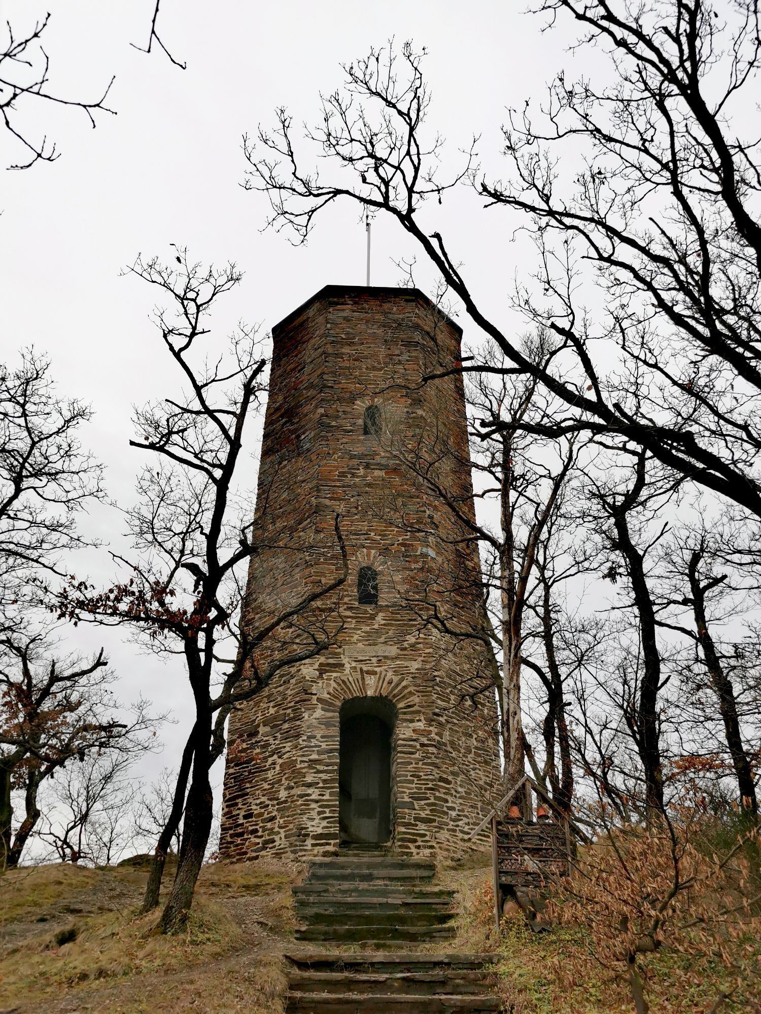
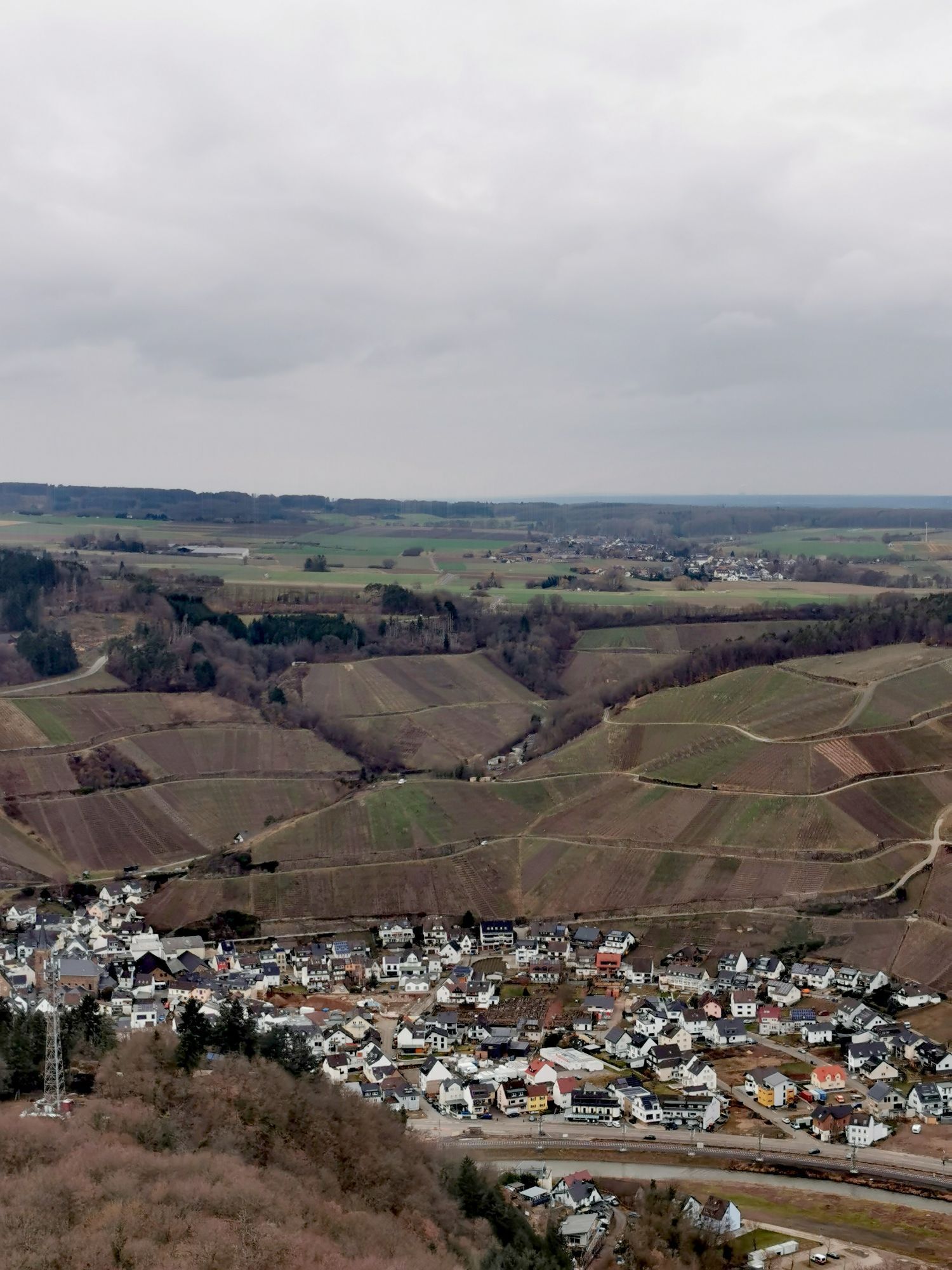
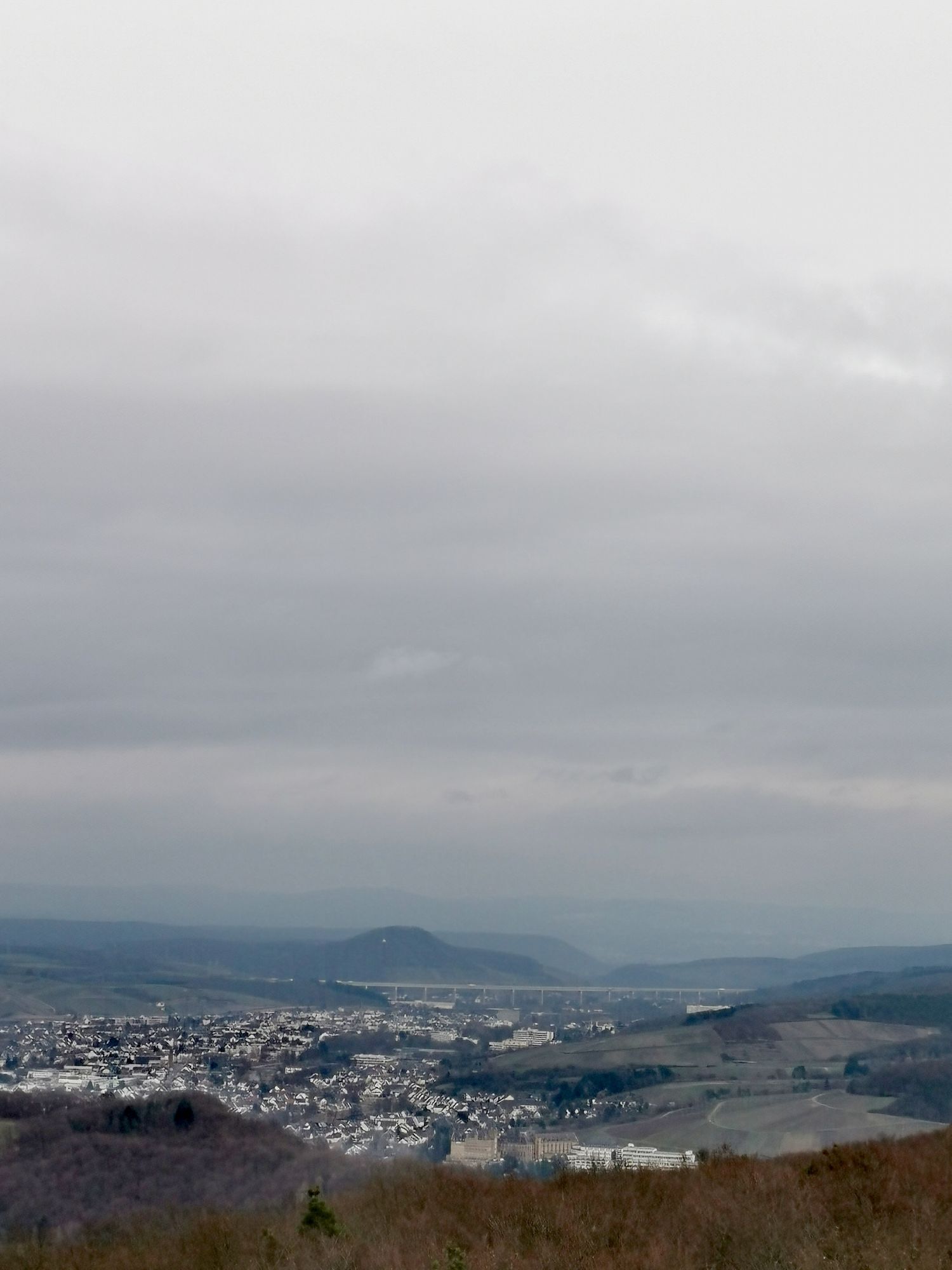
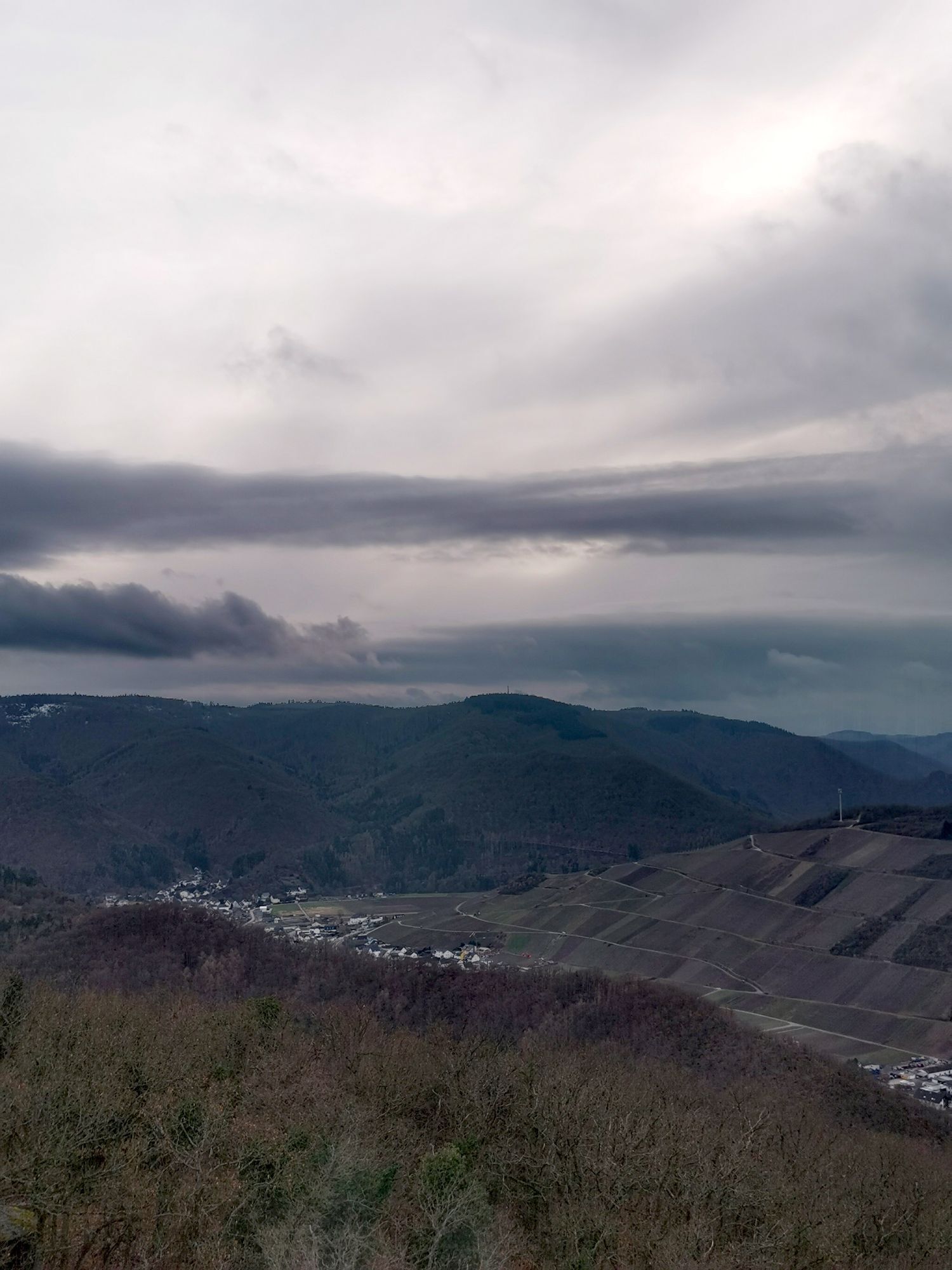
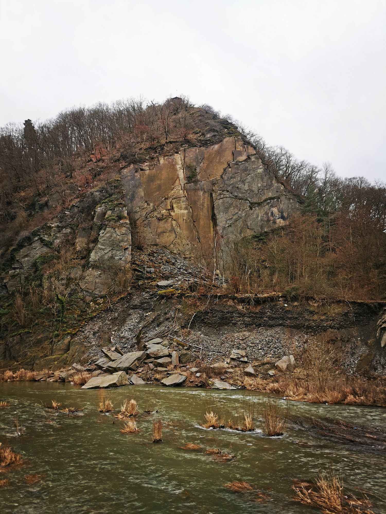
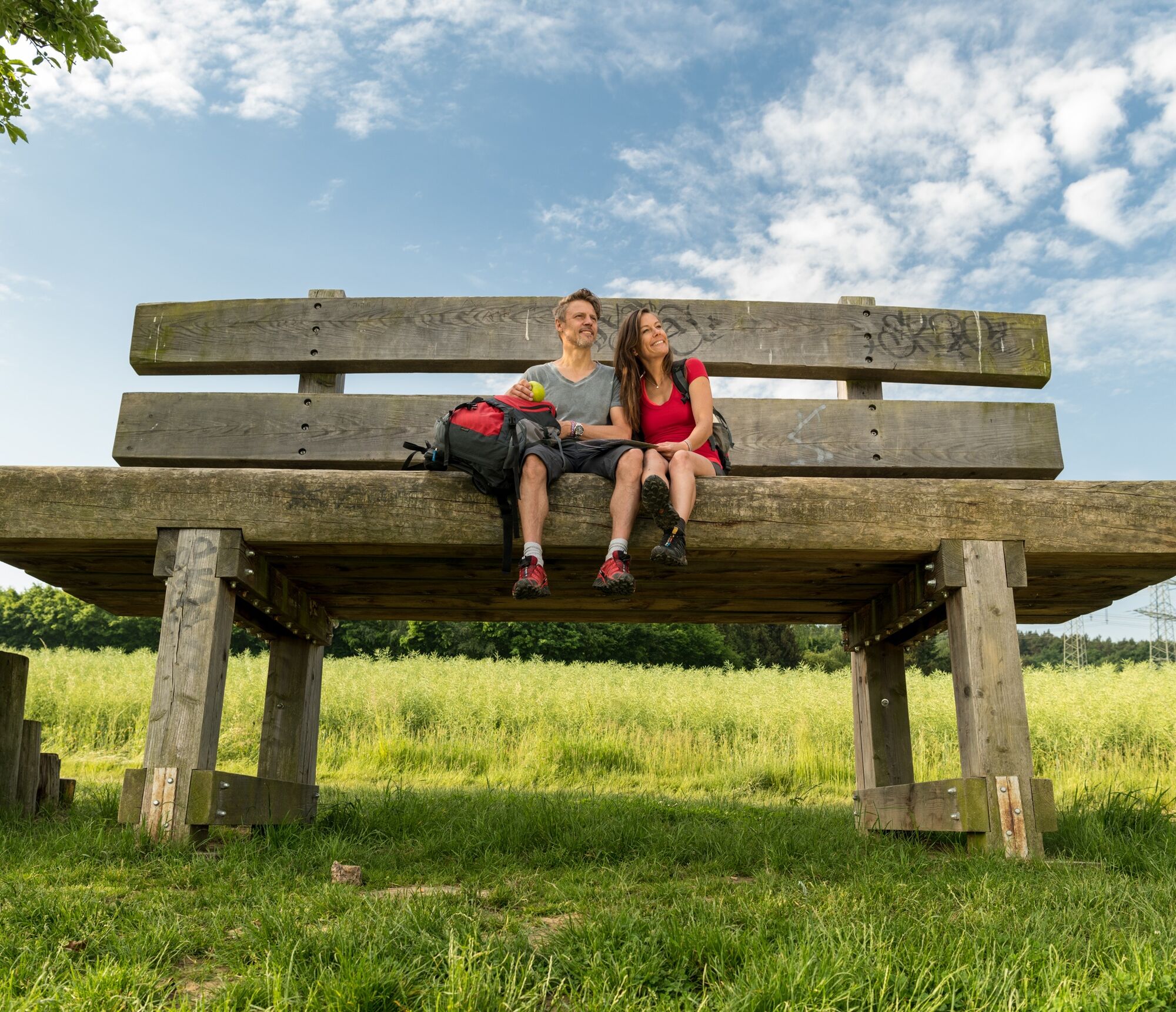
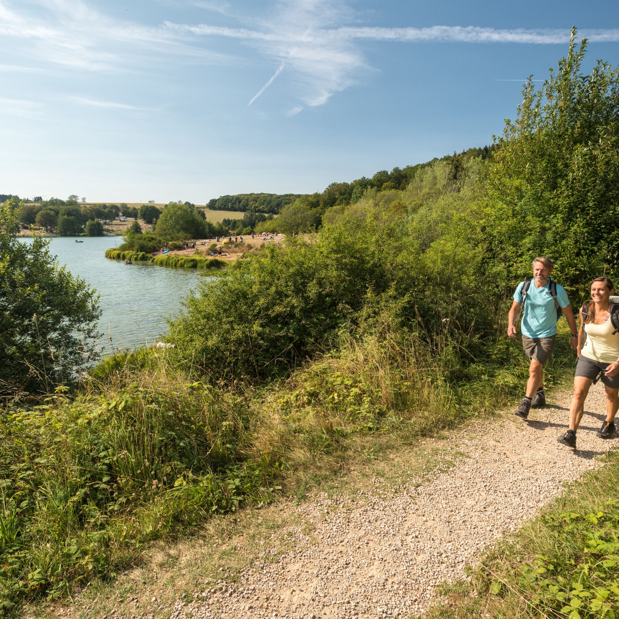
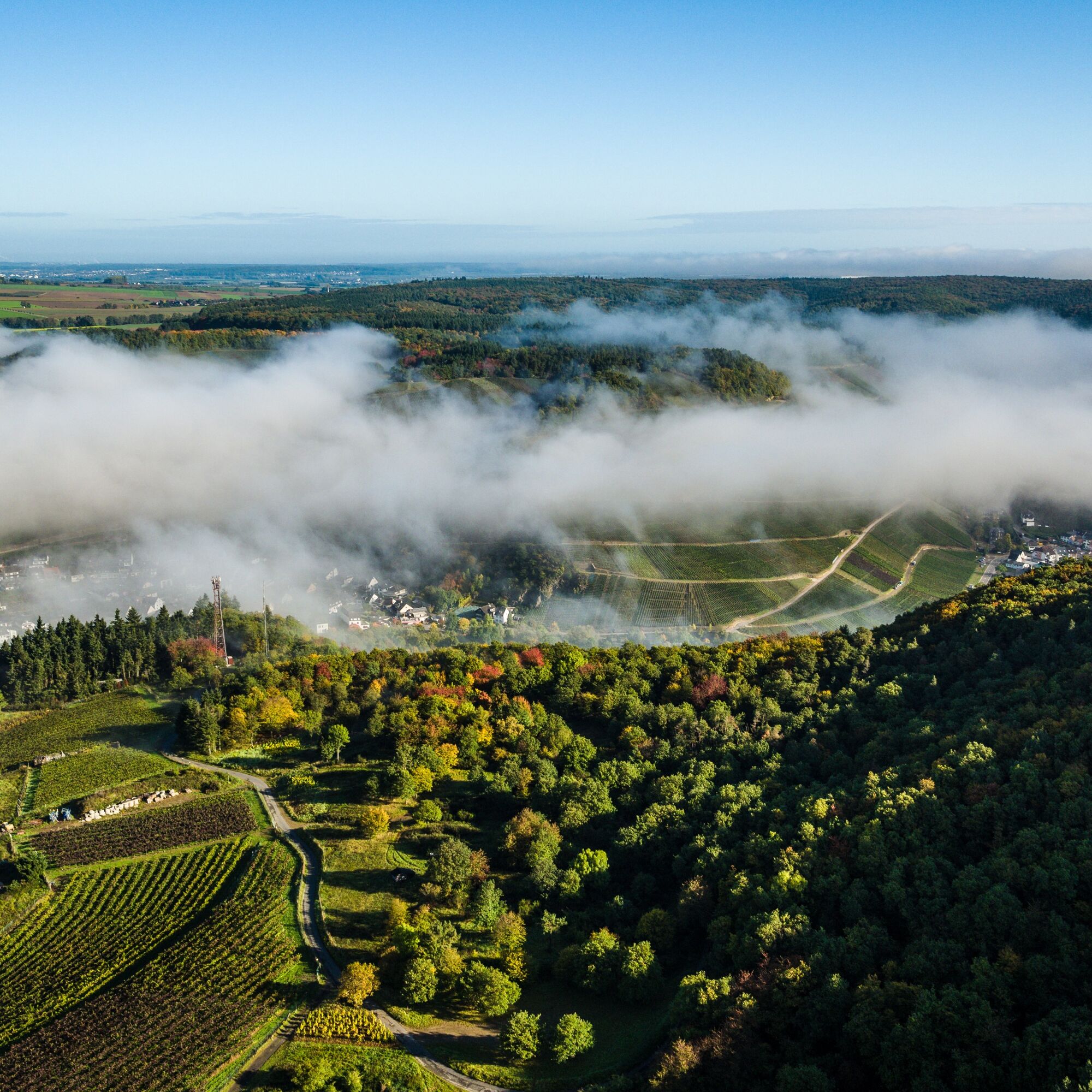
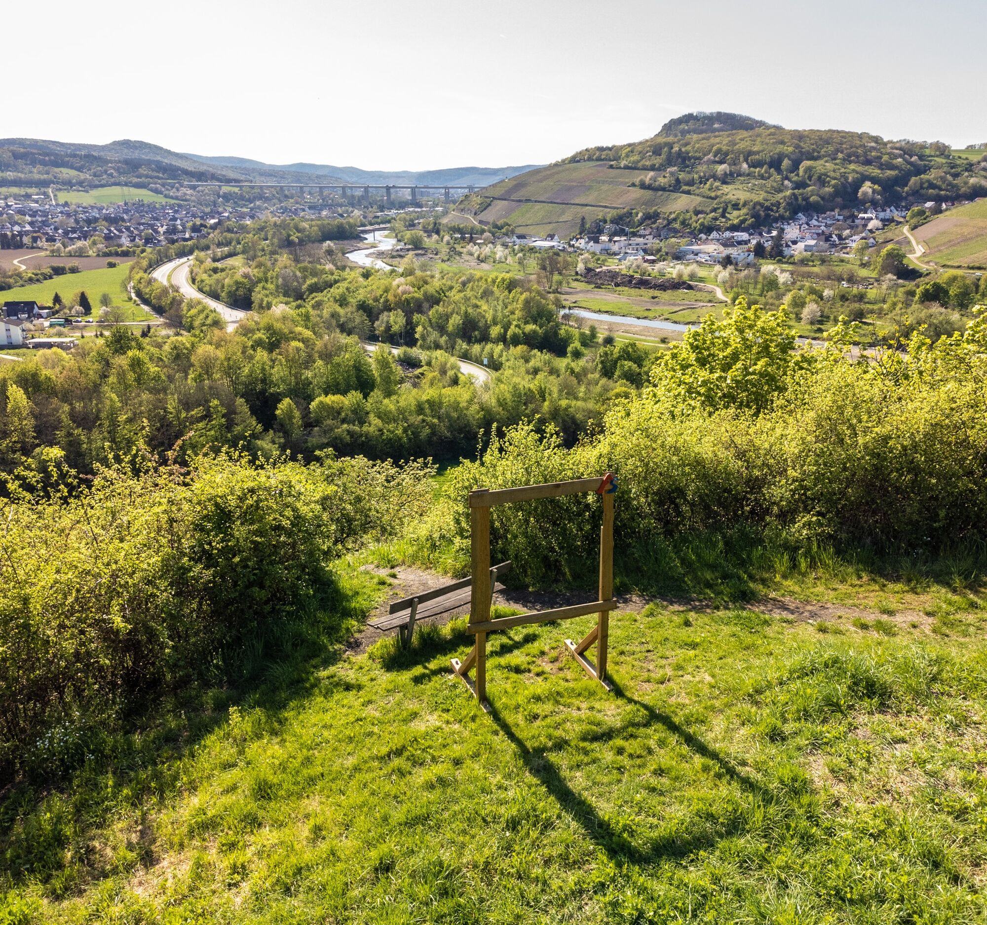
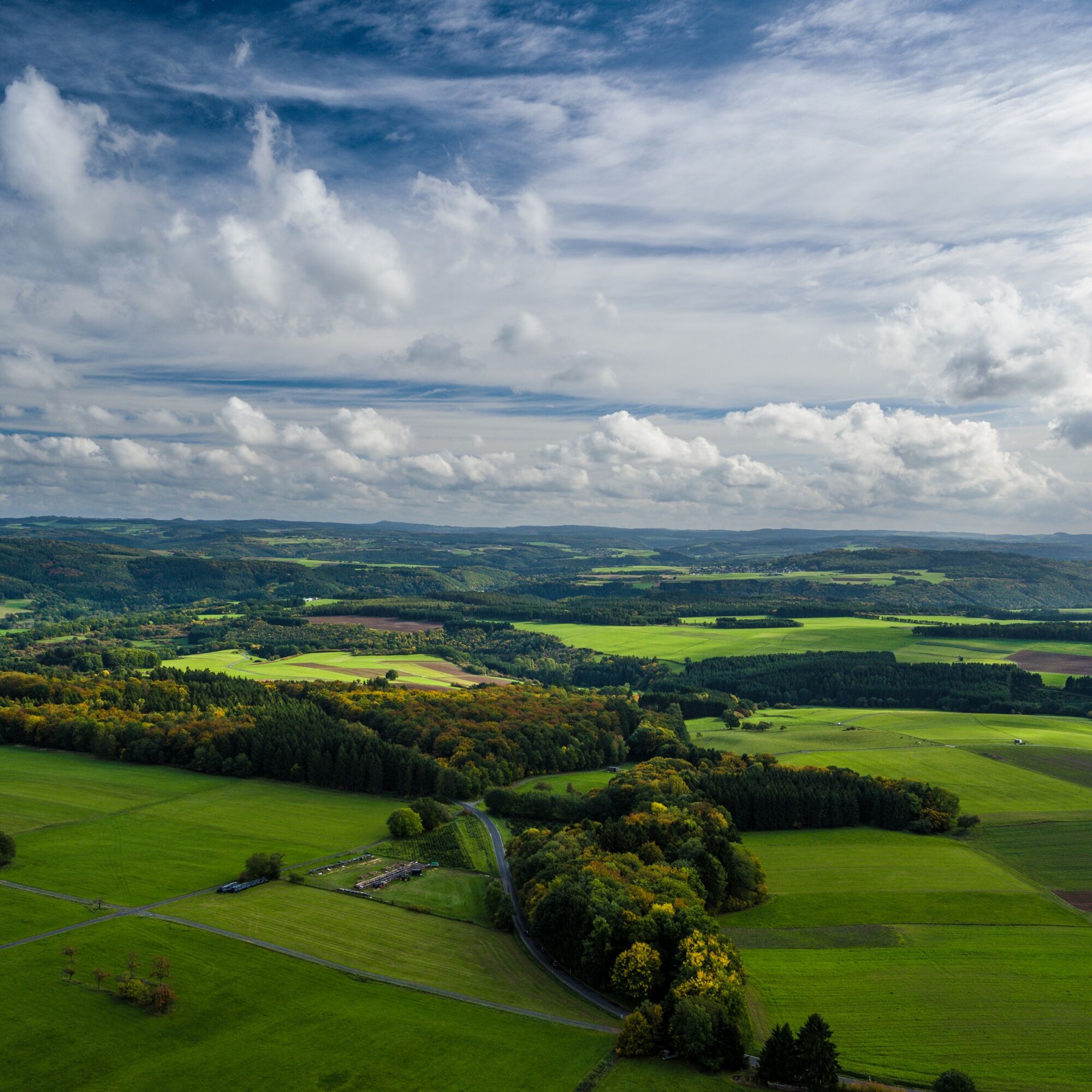
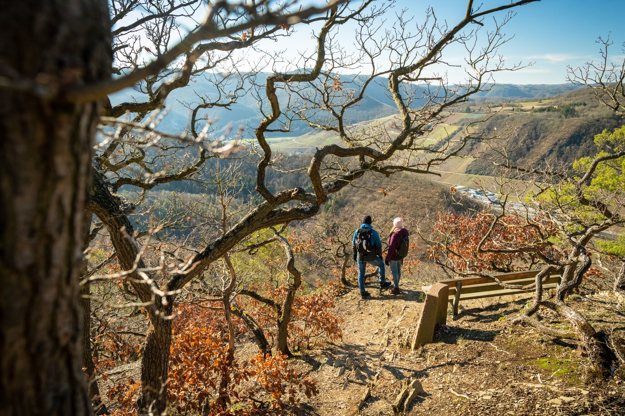
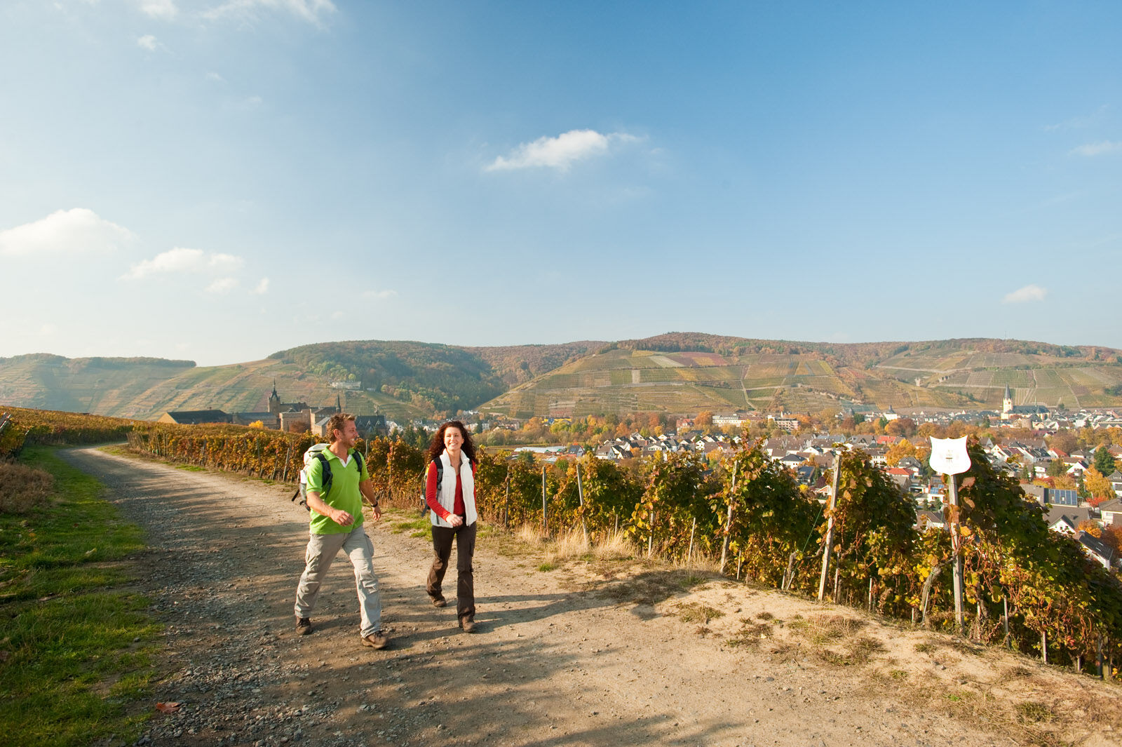
The AhrSteig is not only a challenging hiking trail, it impresses with its natural diversity as well as the abundance of natural monuments and cultural treasures along the route. Impressive views into...
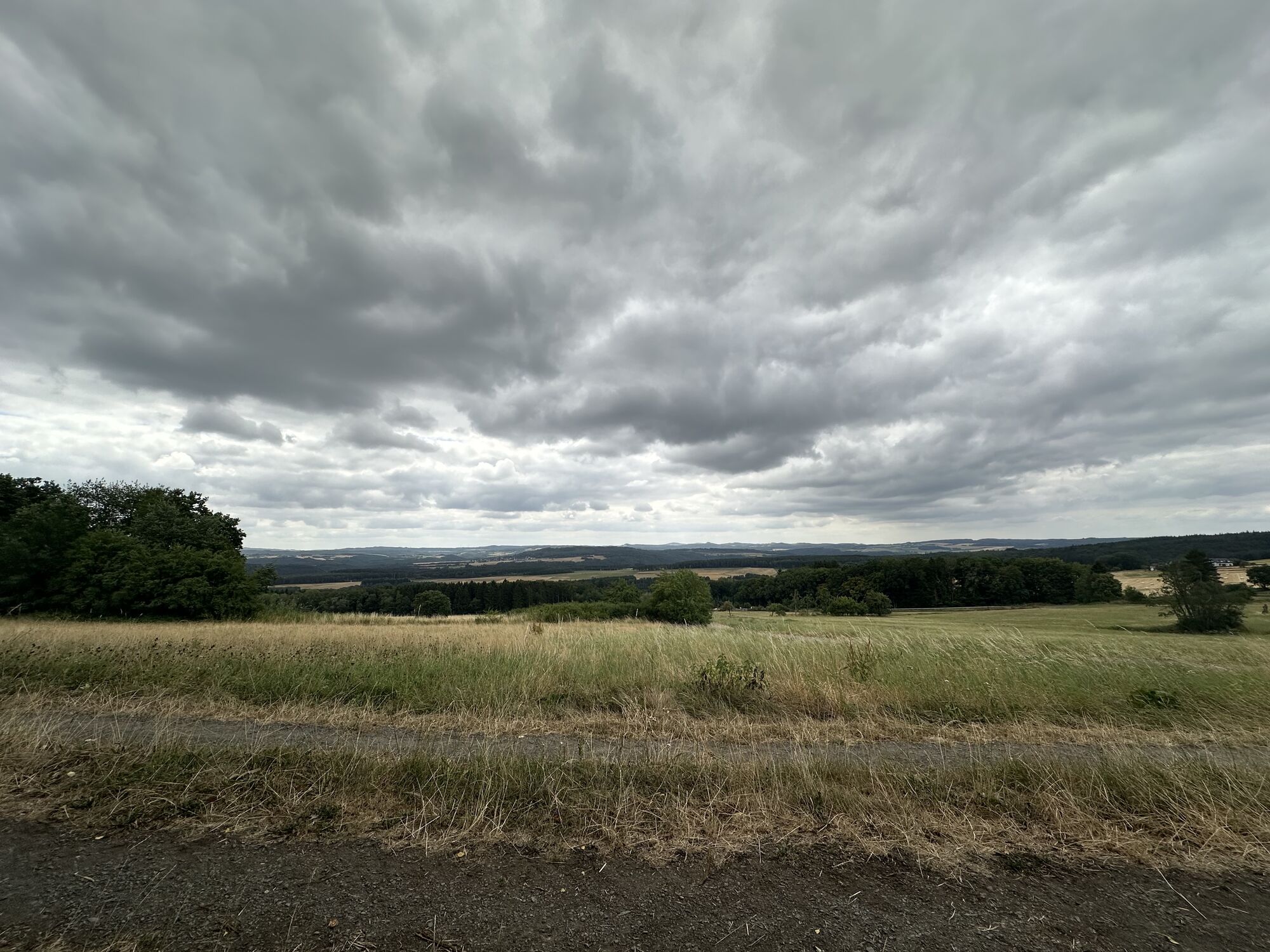
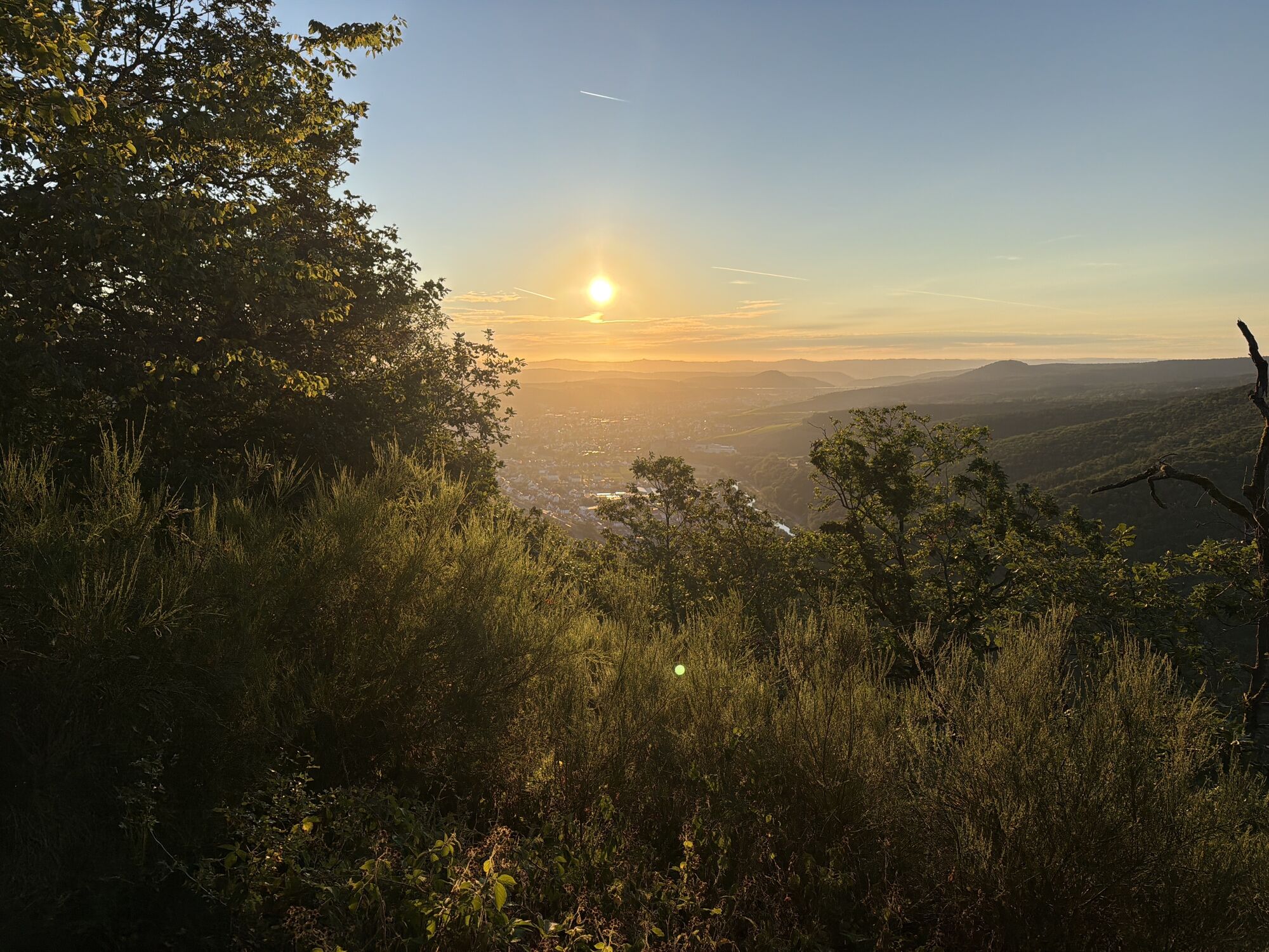
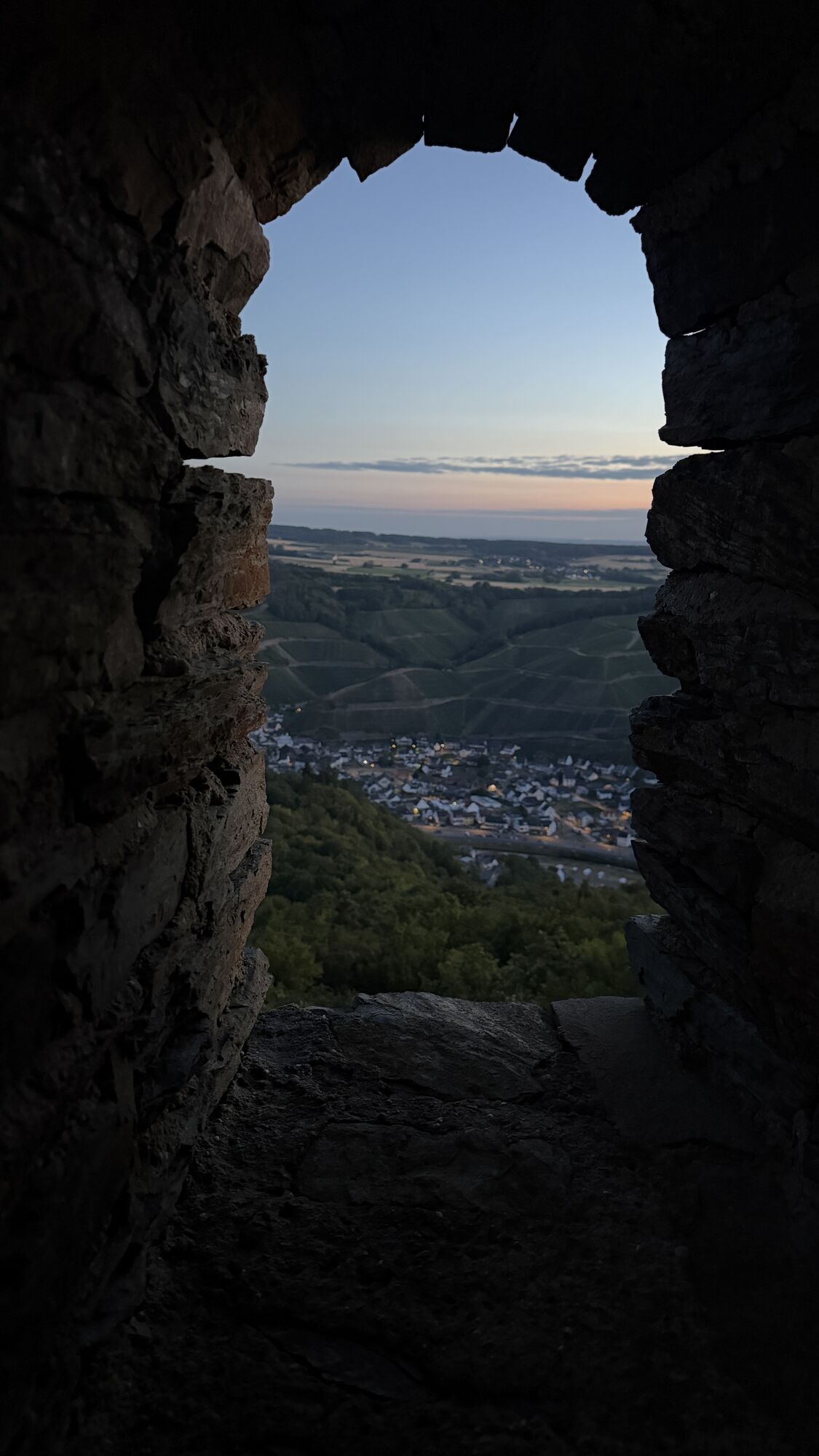
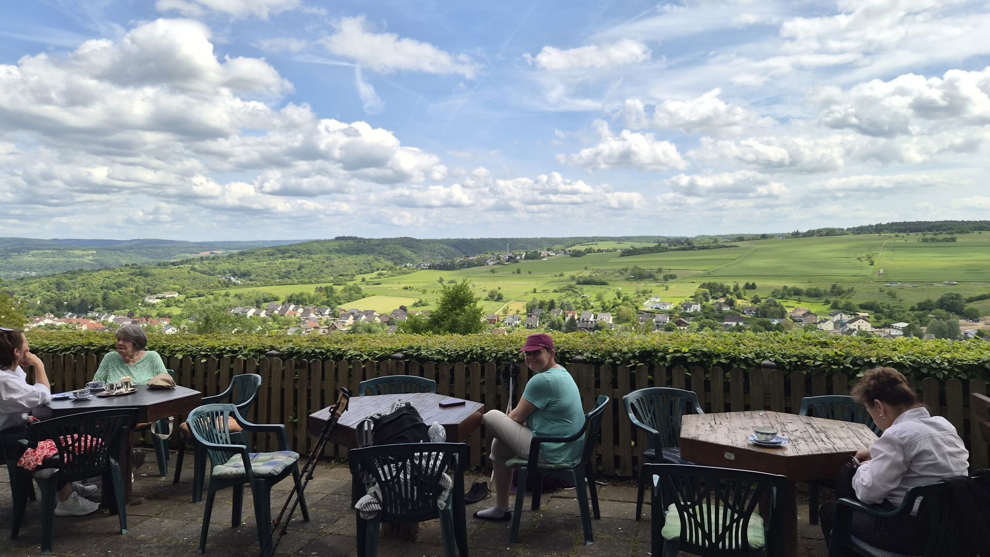
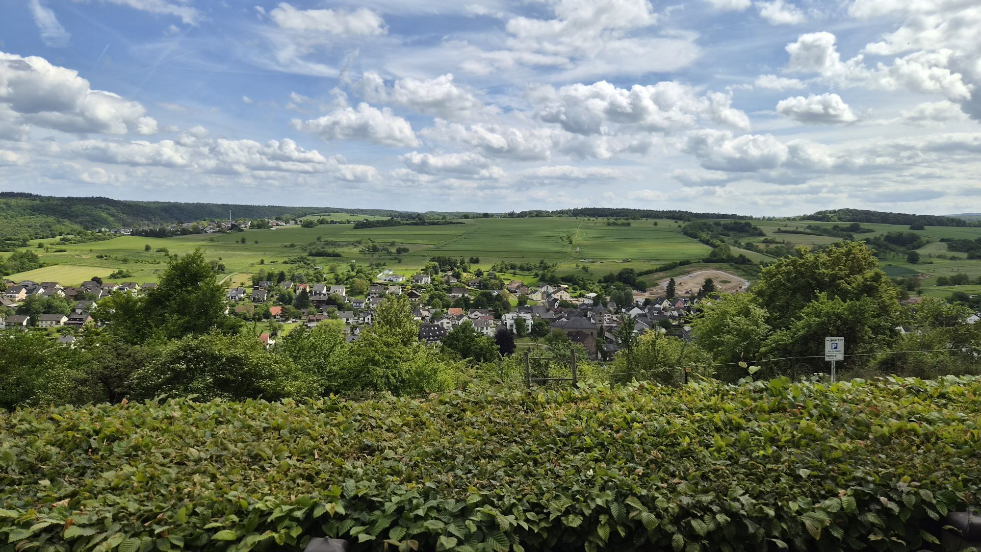
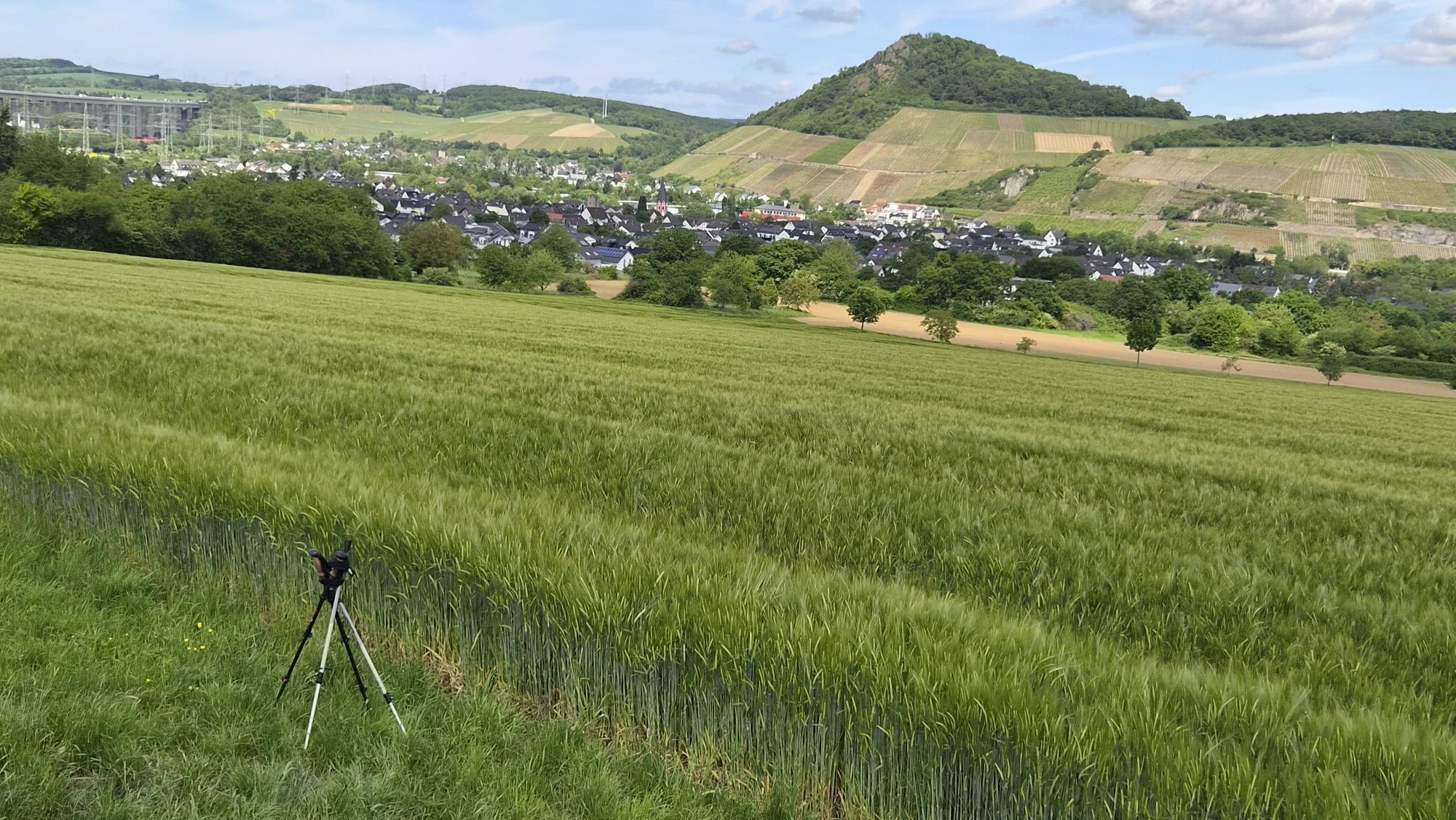
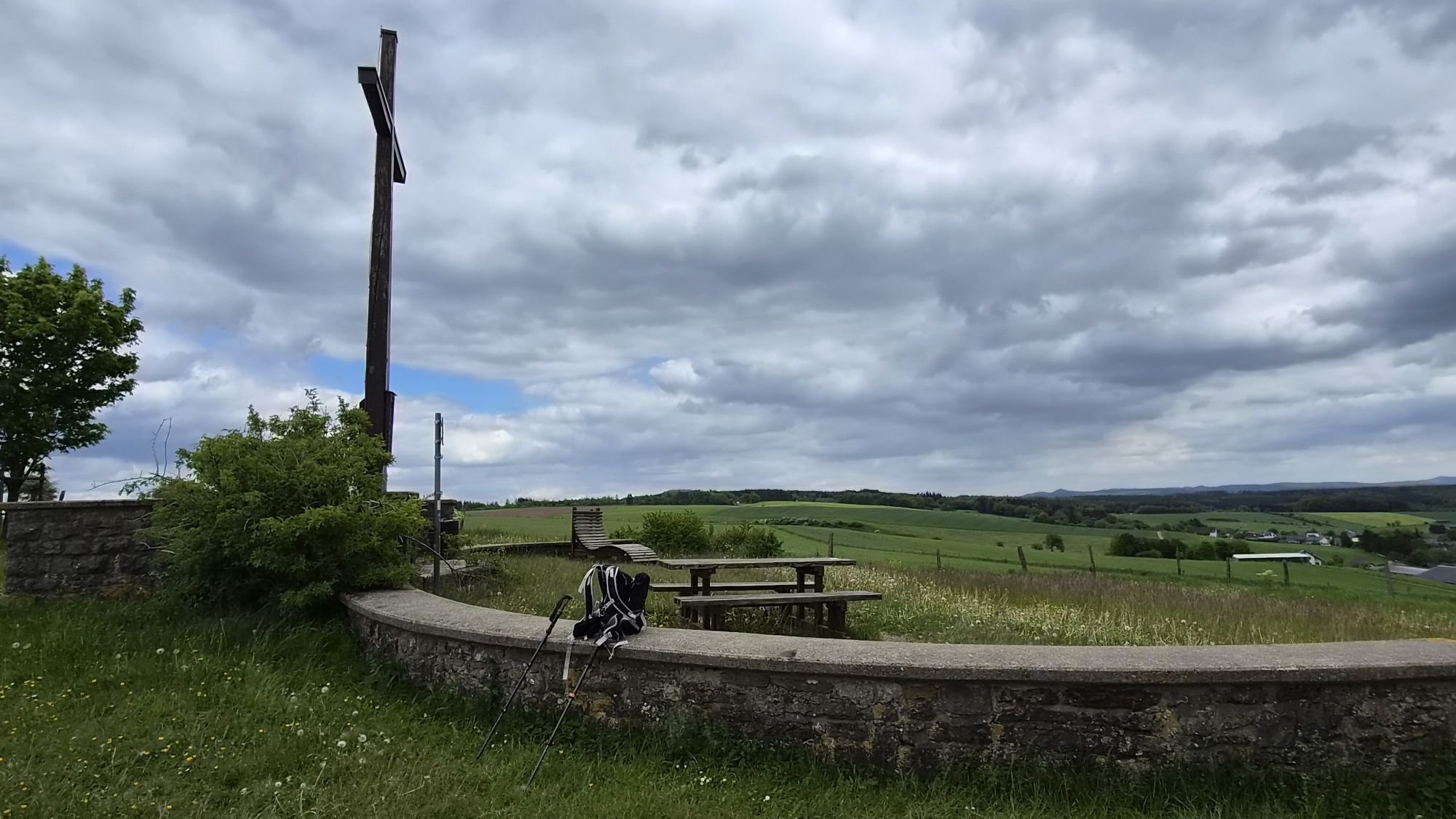
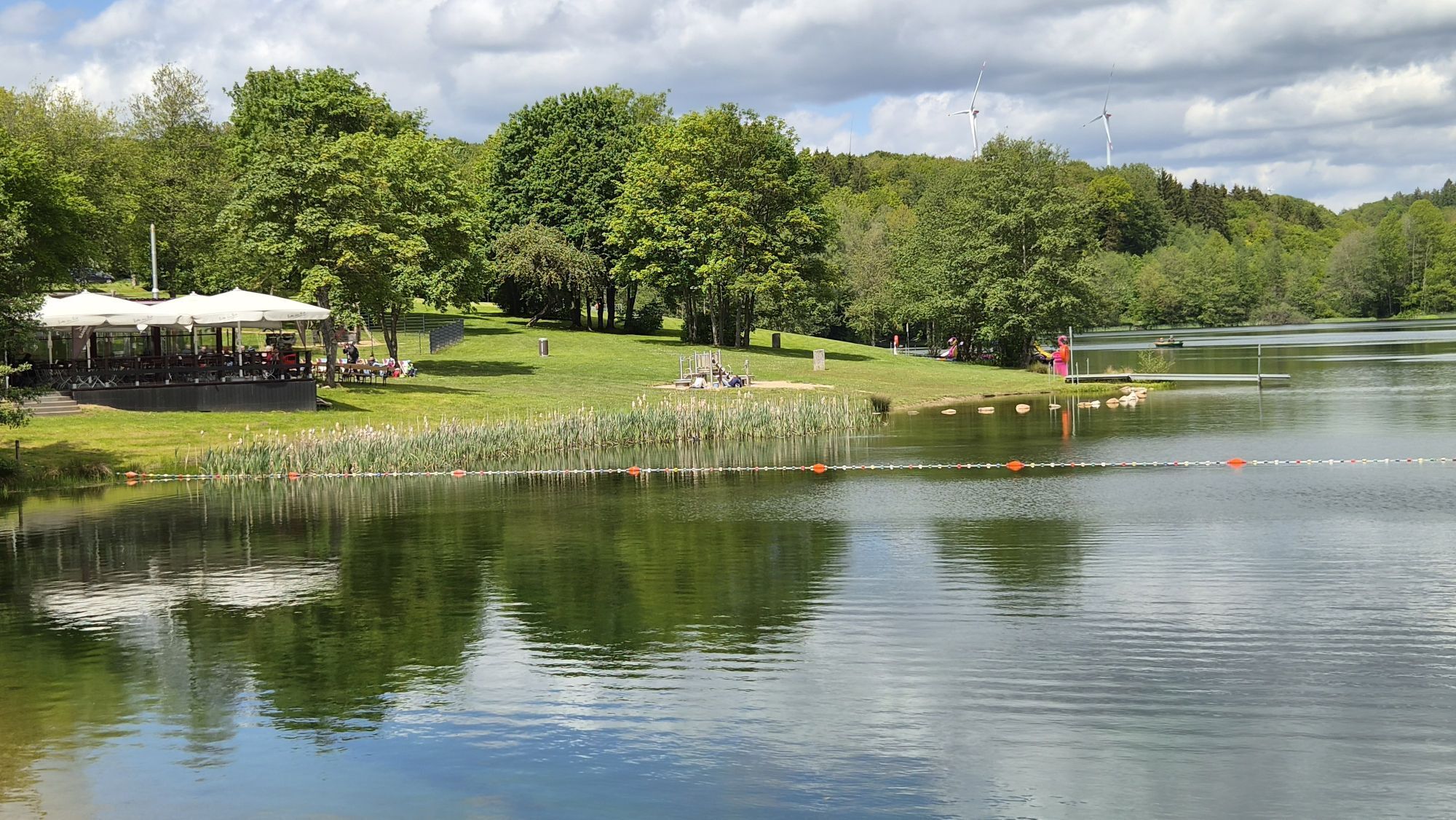
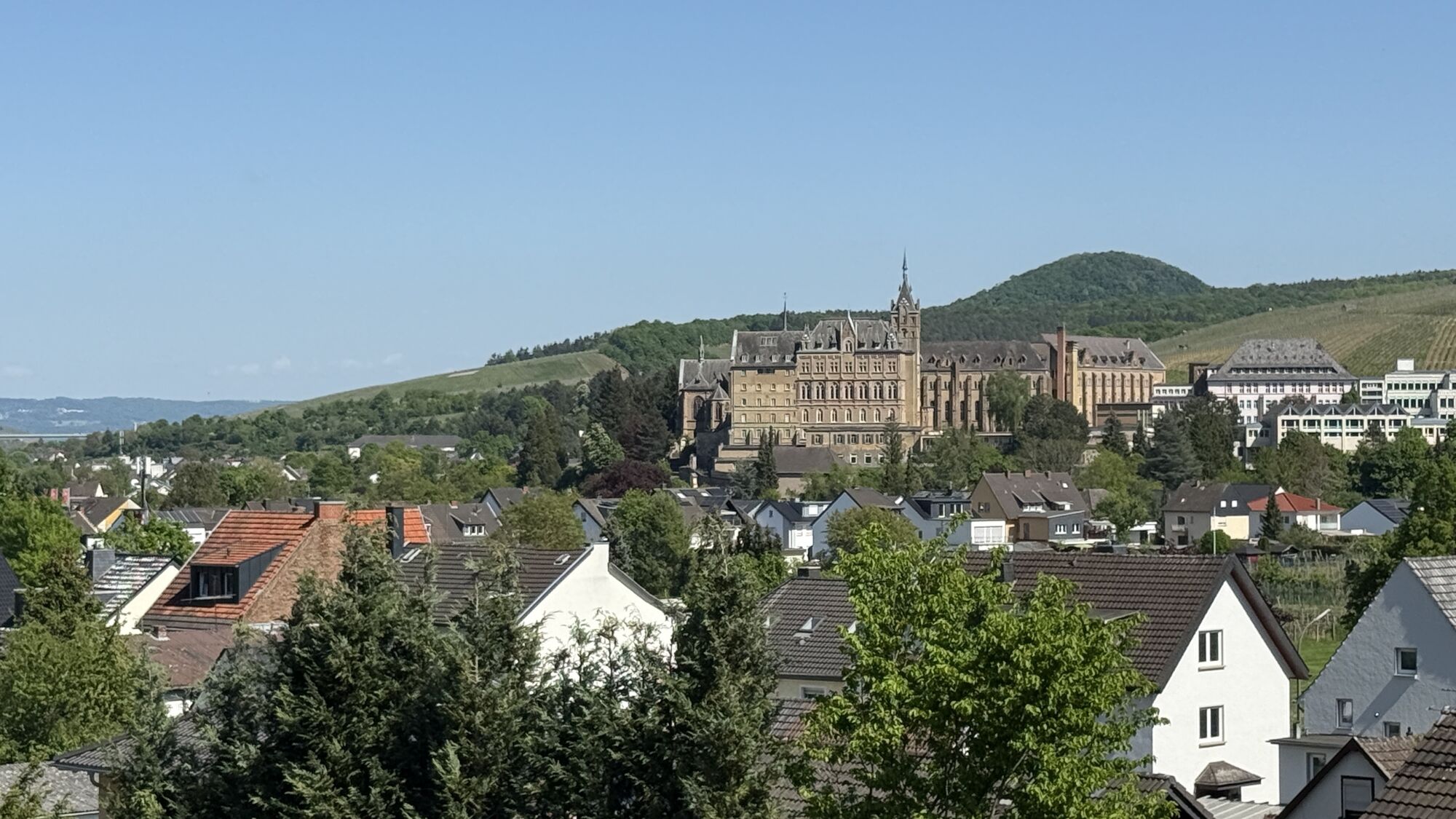
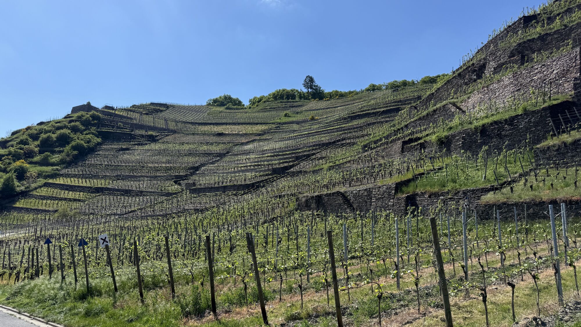
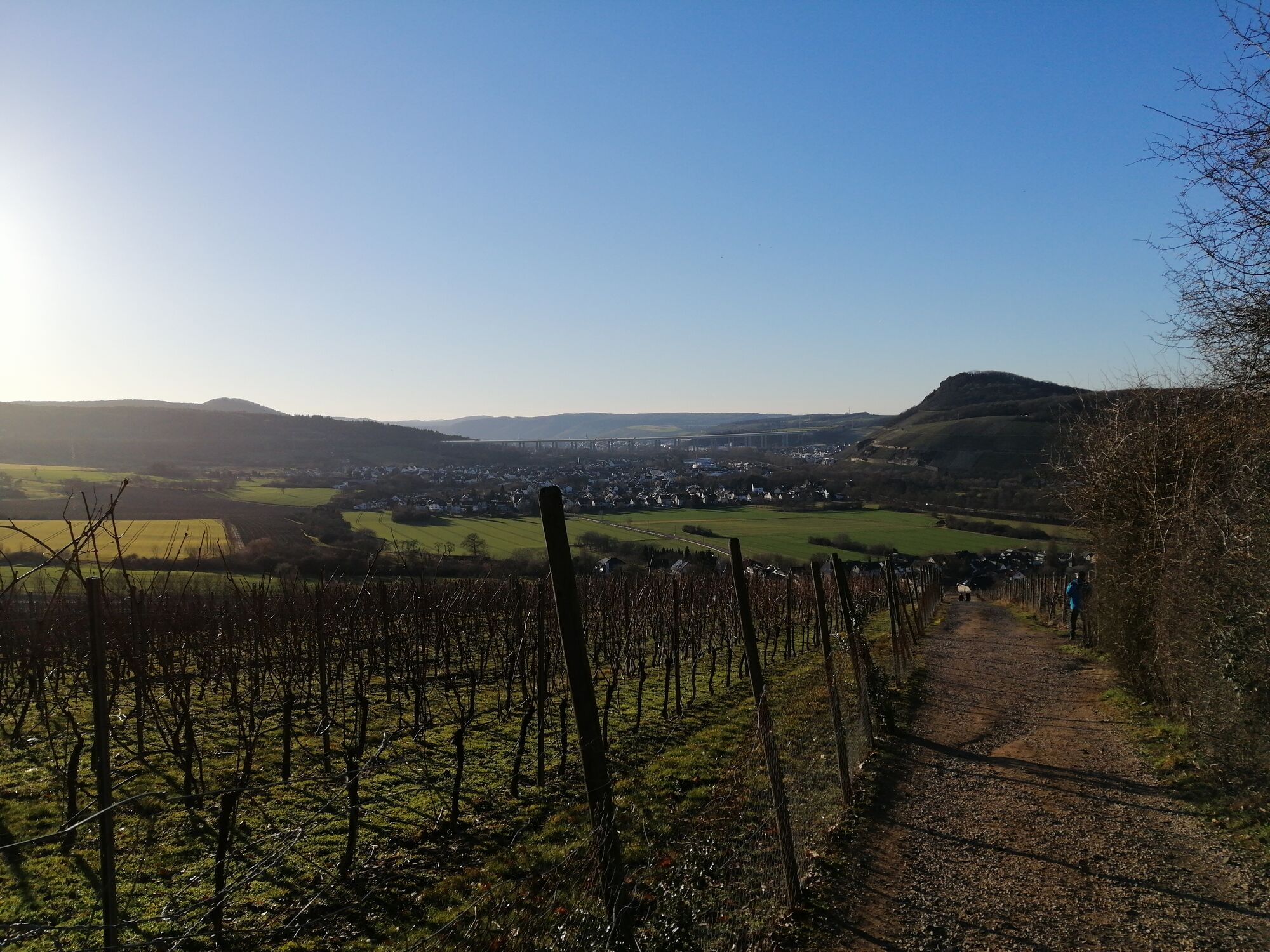
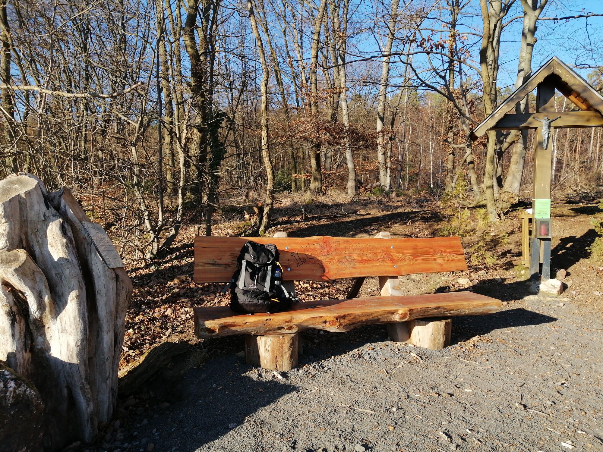
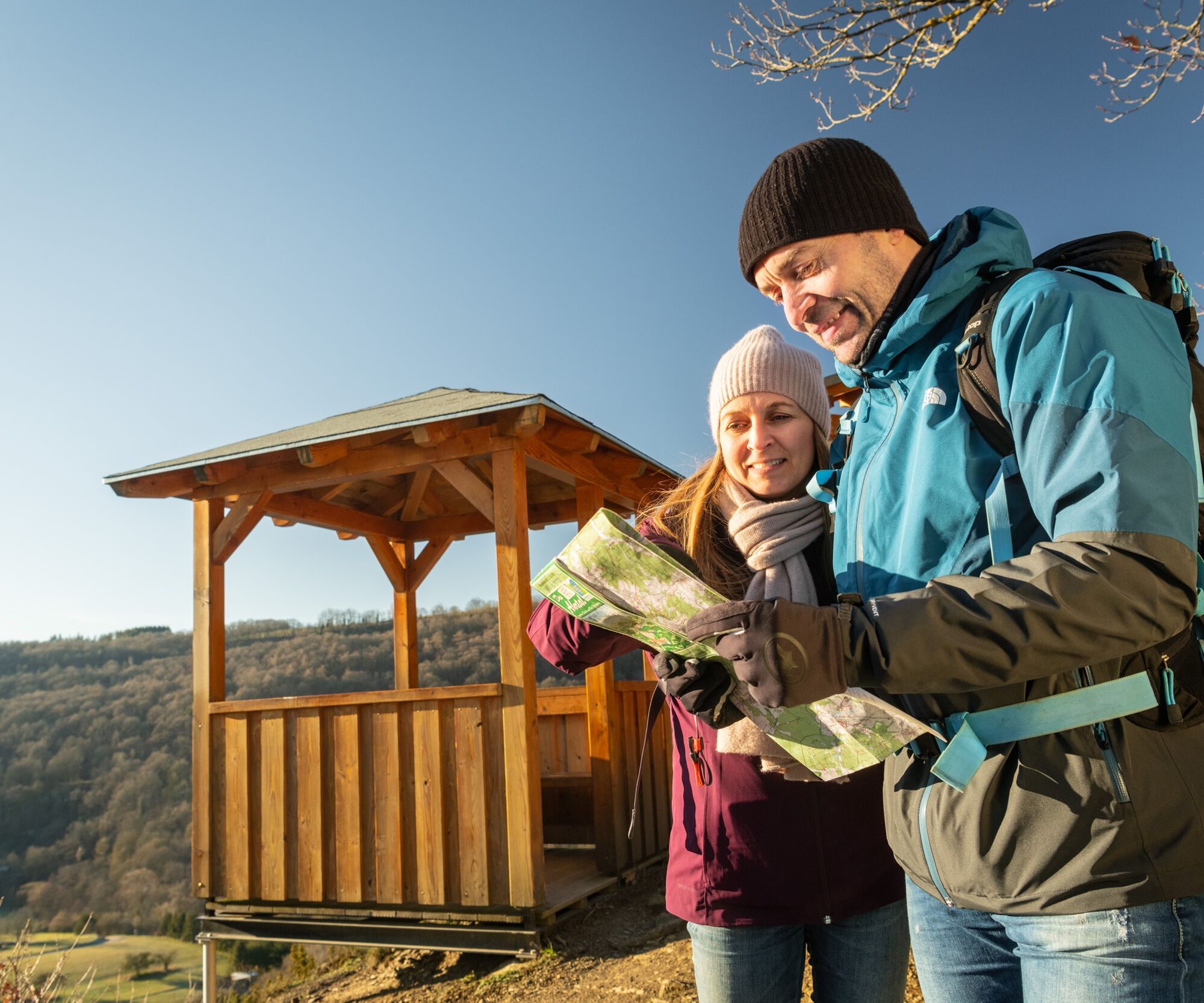
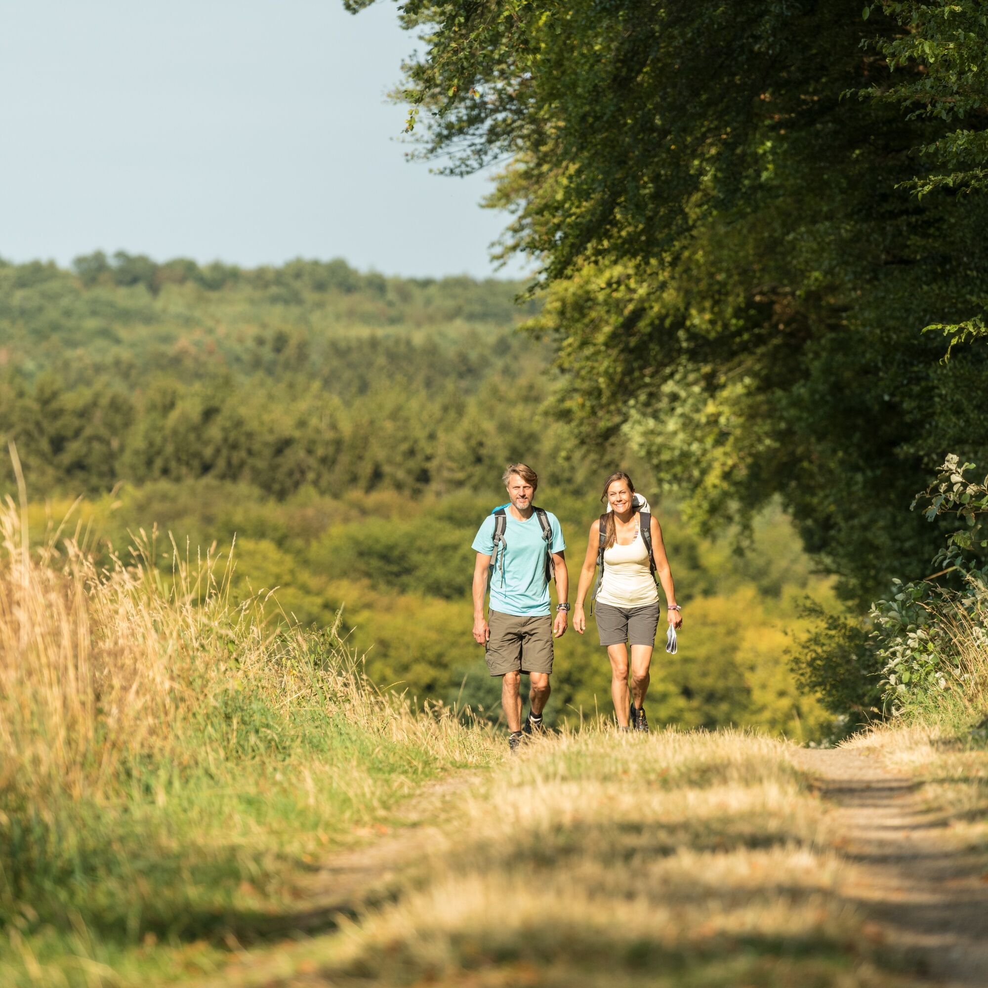
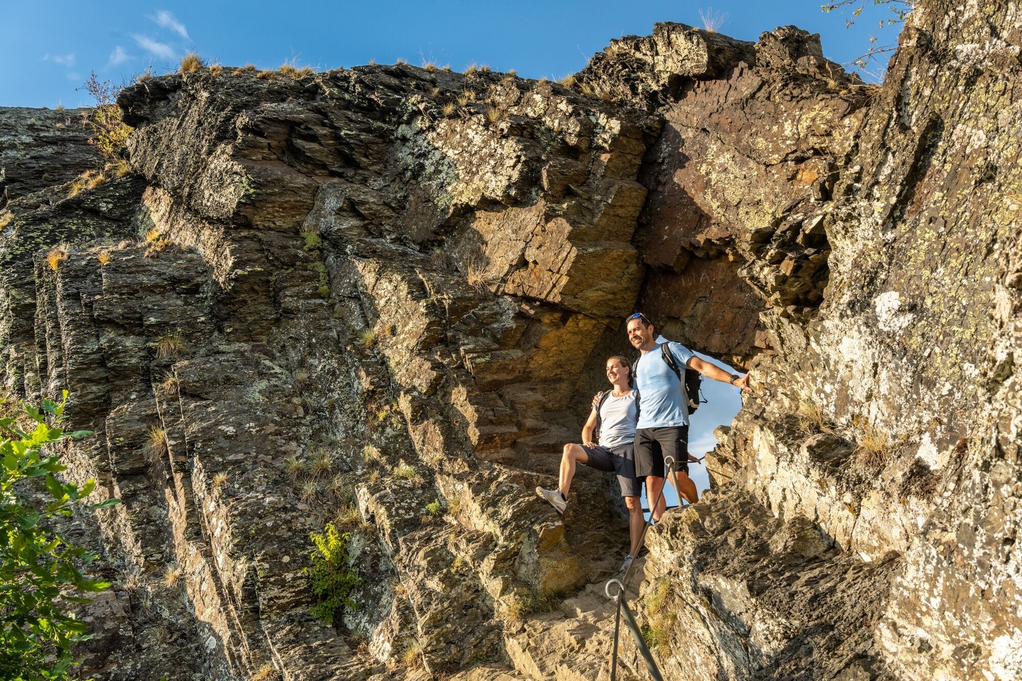
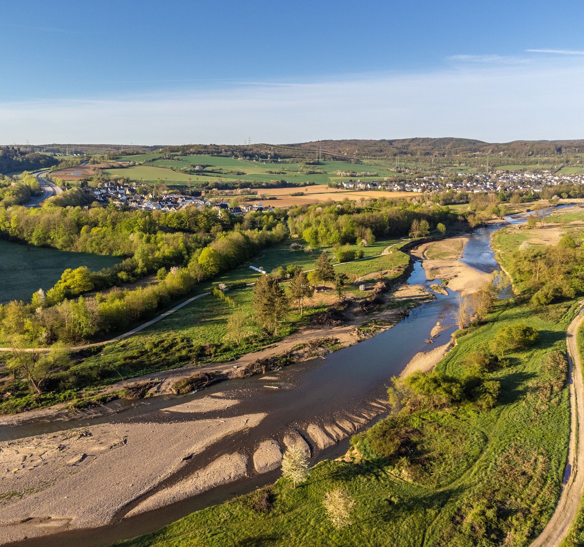
The AhrSteig is not only a challenging hiking trail, it impresses with its natural diversity as well as the abundance of natural monuments and cultural treasures along the route. Impressive views into the romantic Ahr valley far beyond the Ahr heights characterize the unique trails of the AhrSteig. Idyllic forest paths and quiet meadow trails contrast with gentle high plains and narrow rock paths, lonely high plateaus alternate with lively wine villages. Along the stages, certified "Qualitätsgastgeber Wandern in Deutschland" hosts invite nature lovers and hikers to rest and linger. At the respective start and end points of the stages, information about public transport (ÖPNV) is provided. Steige are not hiking paths in the usual sense; the staff at the tourist information offices in the Ahr valley are happy to advise on the individual stages and levels of difficulty.
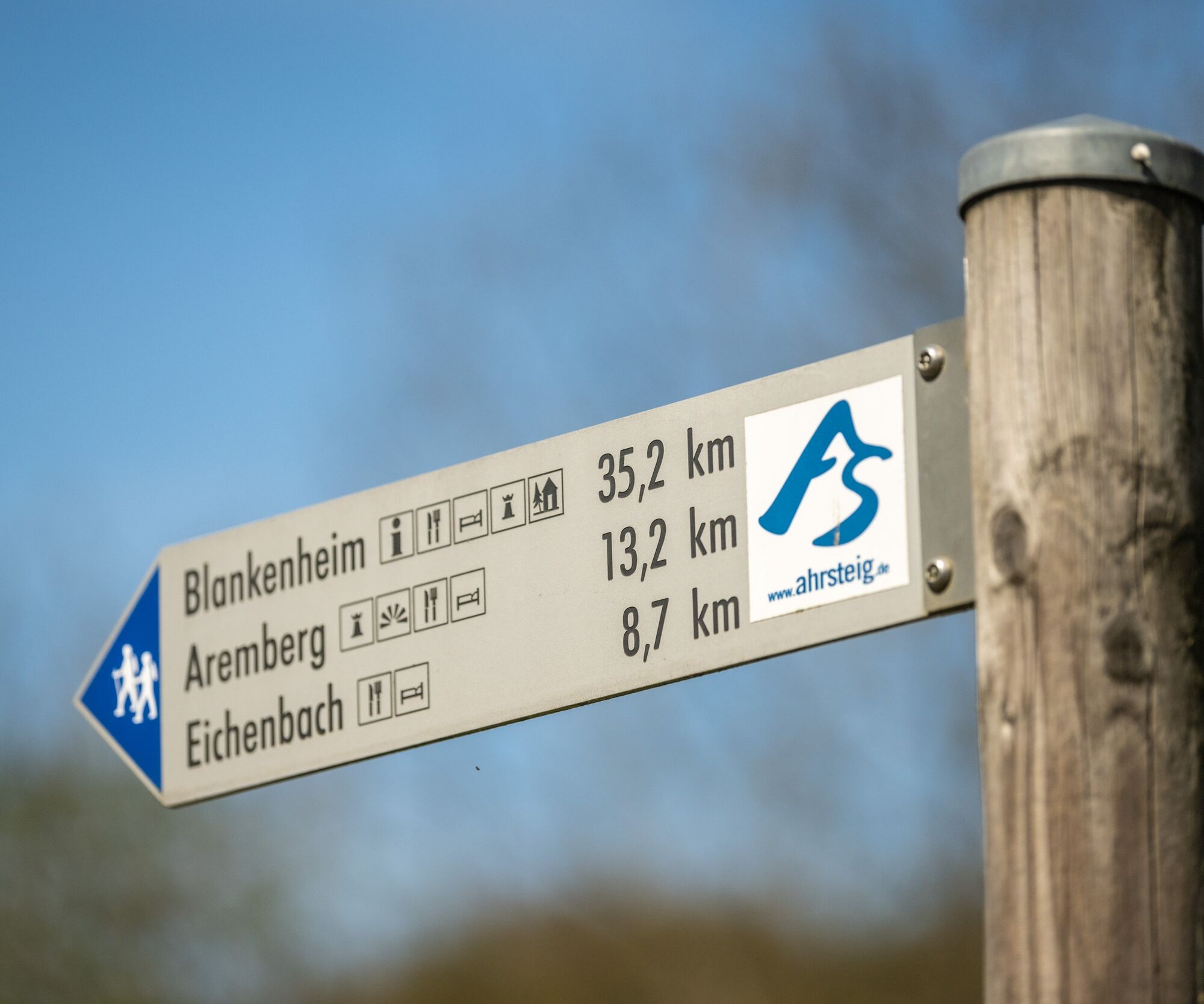

Stage 1: Blankenheim - source of the Ahr - Eifelmuseum - Viaduct Onerahreck - Freilinger See
Stage 2: Freilinger See - Freilingen - Hühnerberg - Lommersdorfer Wald - Aremberg
Stage 3: Aremberg - Arenberg Castle Ruins - Eichenbach - Bläke Fritz - Streitenau - Chimney Chapel - Freilichtbühne - Schuld - Insul
Stage 4: Insul - Hanensteiner mill - Sierscheid - Dümpelhardt - Liersbachtal - Linder height - crib chapel - Kreuzberg
Stage 5: Kreuzberg - Lingenberg - Altenburg - Teufelsloch - Rech - Dernau - Krausberg - Walporzheim
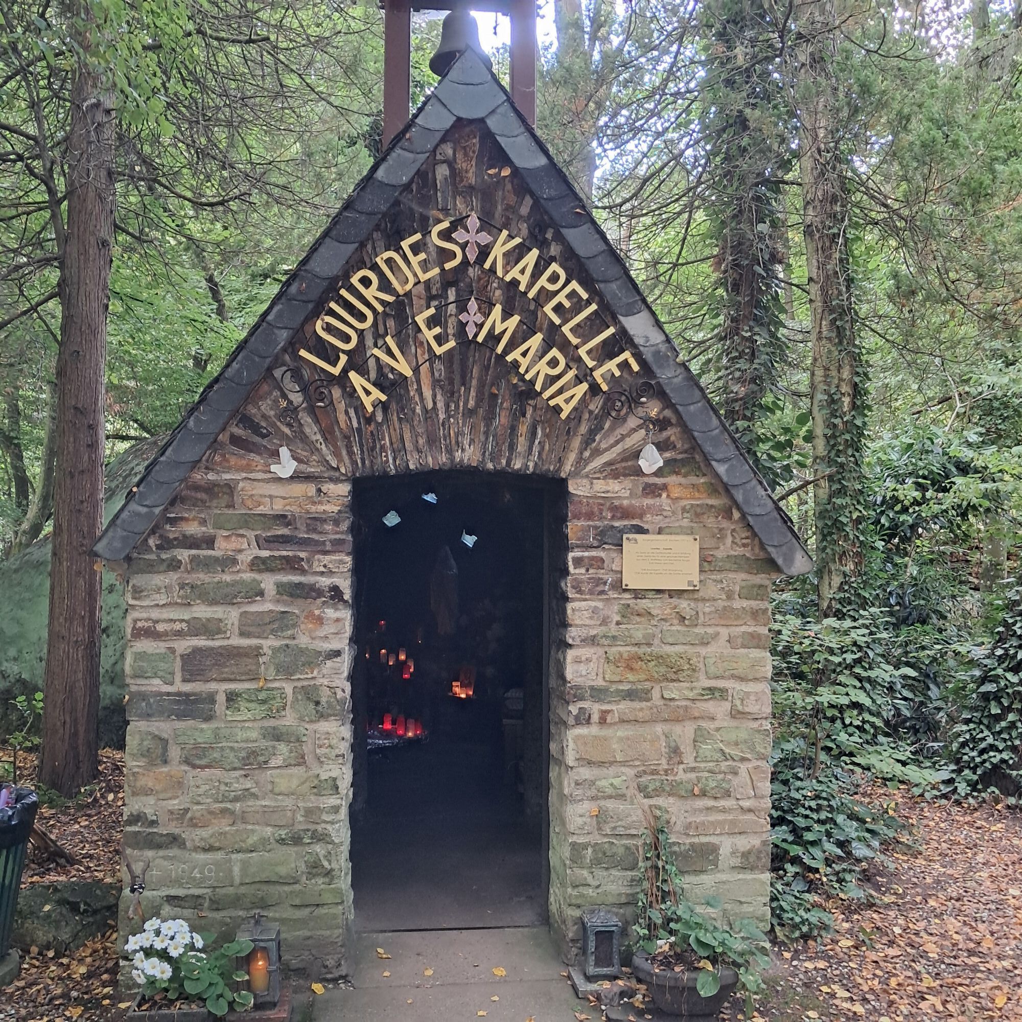
Stage 6: Old Town Ahrweiler - Museum Römervilla - Documentation Site Government Bunker - Walporzheim - Calvarienberg Monastery - Lourdeskapelle - Forest Climbing Park - Ahr-Ressort
Stage 7: Bad Neuenahr - Neuenahrer Berg - Beilratsberg - Heimersheim - Ehlingen - Ehlinger Lei - Feltenturm - Sinzig Castle
Sturdy footwear and packed lunch recommended
Sturdy footwear
A1 to the Blankenheim exit, then continue on B51 and B258 to the town center of Blankenheim.
From Bonn with the S23 to Rheinbach, then by SEV bus to Rheinbach and from there to Blankenheim (forest)
Rail replacement service timetables
Timetable information at https://www.bahn.de and https:// www.vrminfo.de
Parking garage in the center of Blankenheim, parking lot on Koblenzer Straße and at the pond in Blankenheim.
Further information
Ahrtal Tourism Bad Neuenahr-Ahrweiler e.V.
Oberstr. 8
53474 Bad Neuenahr-Ahrweiler
Web: www.ahrtal.de or www.ahrsteig.de
Email: info@ahrtal.de
Tel.: (02641) 9171-0
Conveniently reach the starting point with the WanderBus Oberes Ahrtal (RVK line 899) Blankenheim – Altenahr between stages 1 - 4
Získejte přehled
Vždy živě na místě s více než 9 500 webkamerami. bergfex Jako uživatel Pro si nyní můžete zobrazit odpovídající webové kamery pro mnoho prohlídek v aplikaci prohlídky z. Můžete si tak přímo prohlédnout aktuální podmínky.
Oblíbené prohlídky v okolí
-
4.0
Teufelsloch-Höhenwanderung
středníTuristika 7.44 km -
4.7
Round route Bad Neuenahr No. 5 - Through the Ramersbach Forest
středníTuristika 9.31 km -
Weinwanderung Dernau nach Ahrweiler
Turistika 23.4 km -
4.7
Rundwanderung Rech / Steinerberg
středníTuristika 14.2 km -
Burg Are - Engelsley Nord - Süd und im Tal zurück
heavyHorská turistika 3.63 km -
4.3
Hohe Acht
světloTuristika 6.80 km -
5.0
Leichte Rund-Wanderung Dernau / Mayschoß
světloTuristika 5.46 km -
4.5
AhrSchleife "Köhlerweg"
Turistika 10.9 km -
3.5
Rund um die Safenburg
světloTuristika 8.10 km -
5.0
Traumpfad Wacholderweg
Turistika 8.65 km

Pěší turistika a stopování


Nenechte si ujít nabídky a inspiraci pro vaši příští dovolenou
Vaše e-mailová adresa byl přidán do poštovního seznamu.





