


Sendas del Ega - Camping Acedo Route 7
Highlight the climb on the trail from Ancín to the Llanos de San Antón, a long climb but without steep slopes. The last part of the route is a succession of trails that lead us to the urban area of Acedo,...
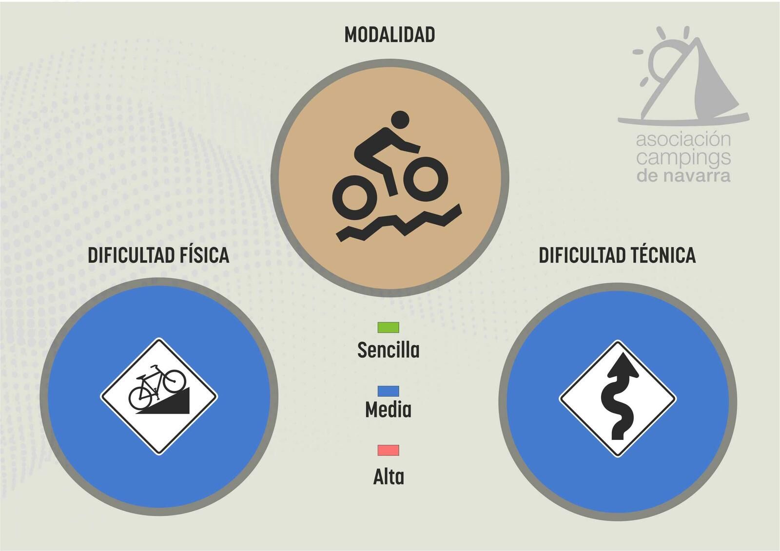
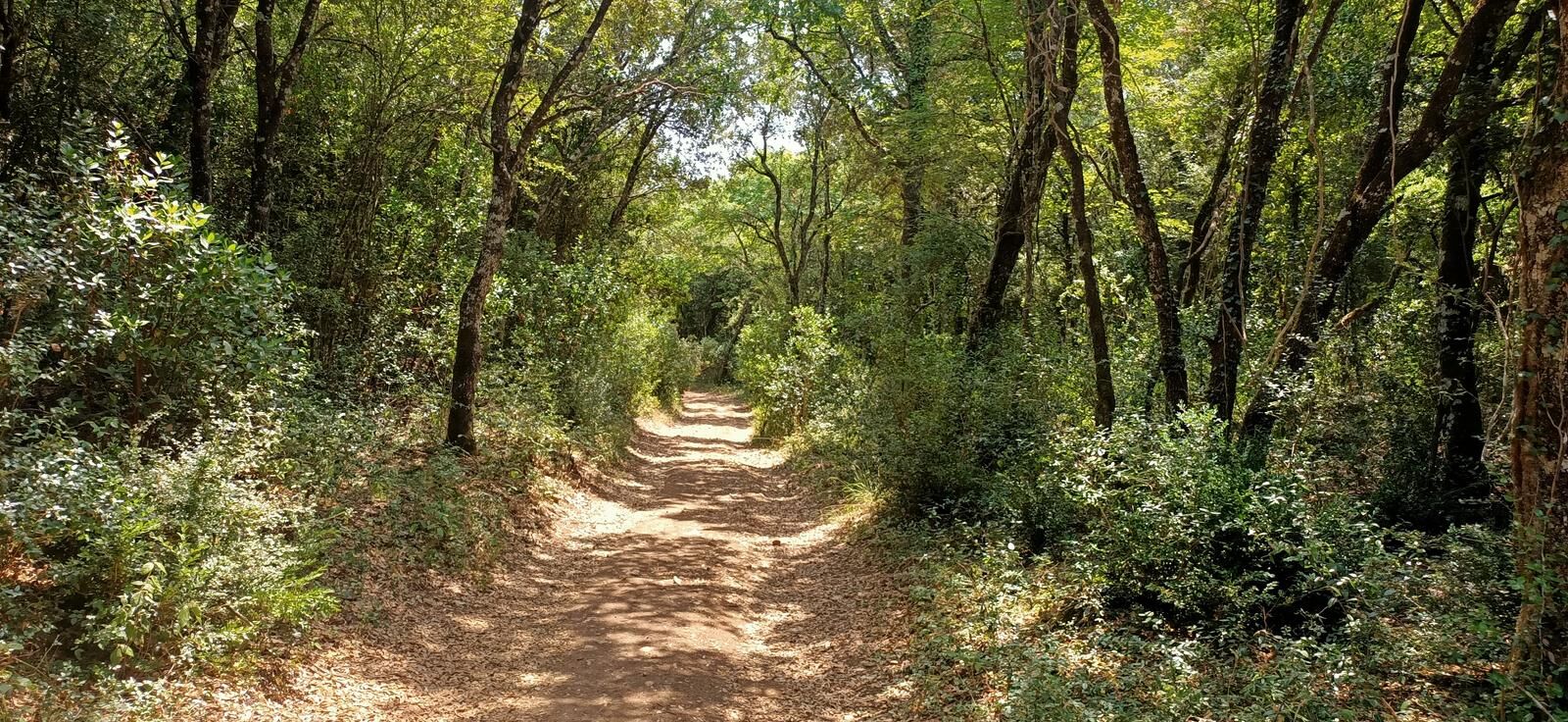
Highlight the climb on the trail from Ancín to the Llanos de San Antón, a long climb but without steep slopes. The last part of the route is a succession of trails that lead us to the urban area of Acedo, which we avoid by taking the Greenway back to the camping site. Technically, it is a route suitable for all audiences as the trails do not have difficult sections.

Ano
Ano
8 essential accessories for any bike route
Helmet
Gloves
Air pump
Multitool
Spare tube
Multitool
Tire levers
Odometer
Water bottle and something to eat
By car:
Carretera Los Arcos, 131282 Acedo, Navarra, ES
There are no direct options to arrive by public transport
The camping site has parking options
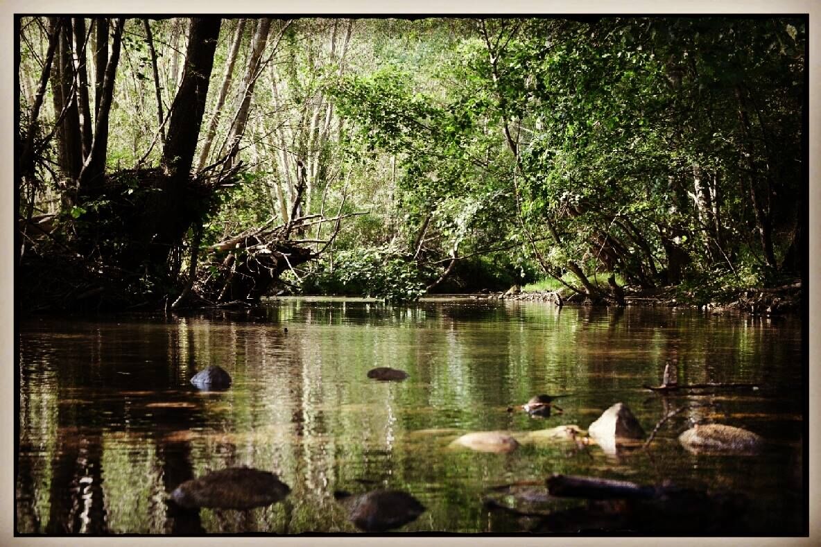
Stop to enjoy the beautiful nature along the Ega River.
Oblíbené prohlídky v okolí
-
Valles de Álava - Camping Acedo Route 3
heavySilniční kolo 103.5 km -
Return to Berrueza - Camping Acedo Routes 1
světloSilniční kolo 41.0 km -
Vasco-Navarro Railway Greenway
světloJízda na kole 28.1 km -
Valdega, Allín, and Améscoas - Camping Acedo Route 2
středníSilniční kolo 77.7 km -
Údolí Tierra Estella - kemp Artaza Trasa 3
středníSilniční kolo 102.6 km -
Lokiz a Uiarra - Camping Artaza Route 8
středníMountainbike 31.2 km -
Prohlídka Améscoas - Camping Artaza Trasa 7
středníMountainbike 45.3 km -
Stezky Lokiz - Camping Acedo Route 9
heavyMountainbike 42.2 km -
Sierra de Dos Hermanas - Camping Acedo Trasa 8
středníMountainbike 28.6 km -
Valle de Allín - Camping Artaza Trasa 1
světloSilniční kolo 45.6 km
Pěší turistika a stopování


Nenechte si ujít nabídky a inspiraci pro vaši příští dovolenou
Vaše e-mailová adresa byl přidán do poštovního seznamu.