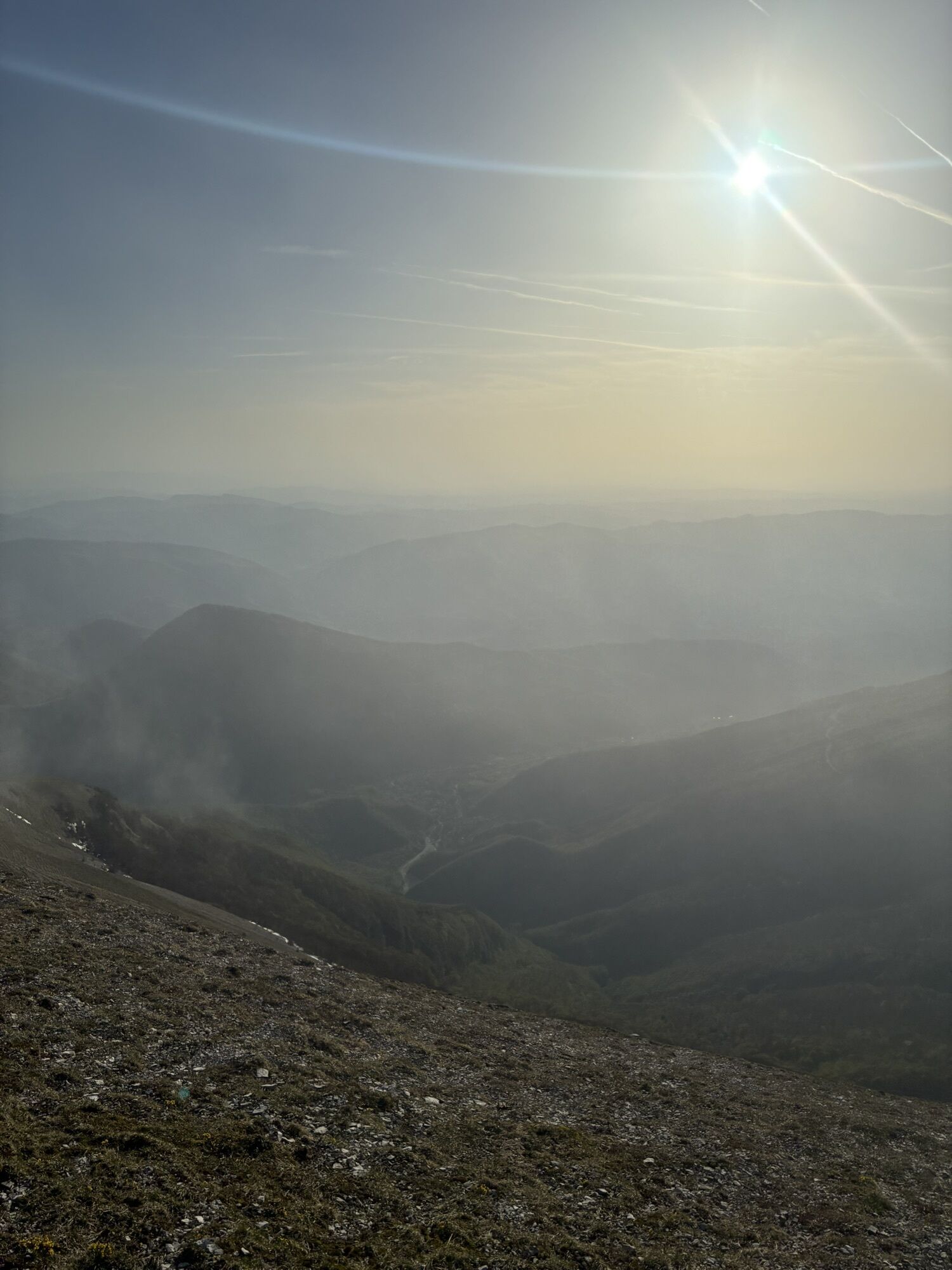
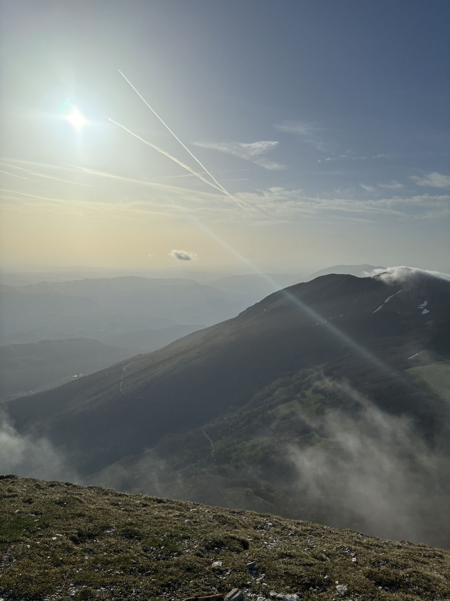
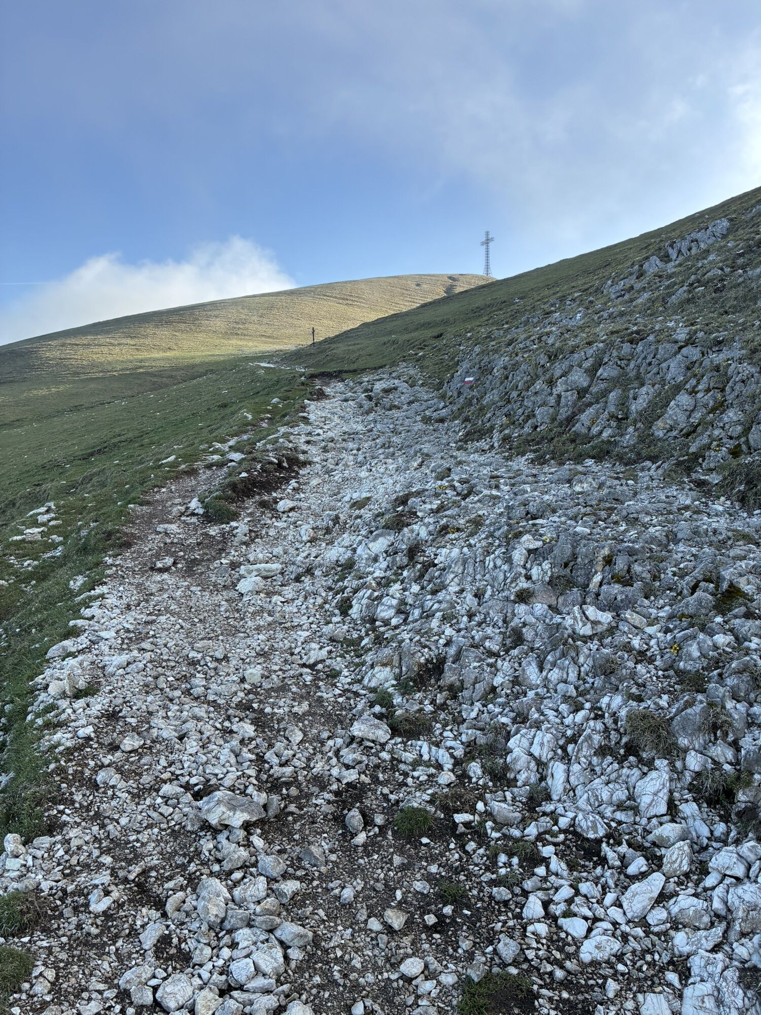
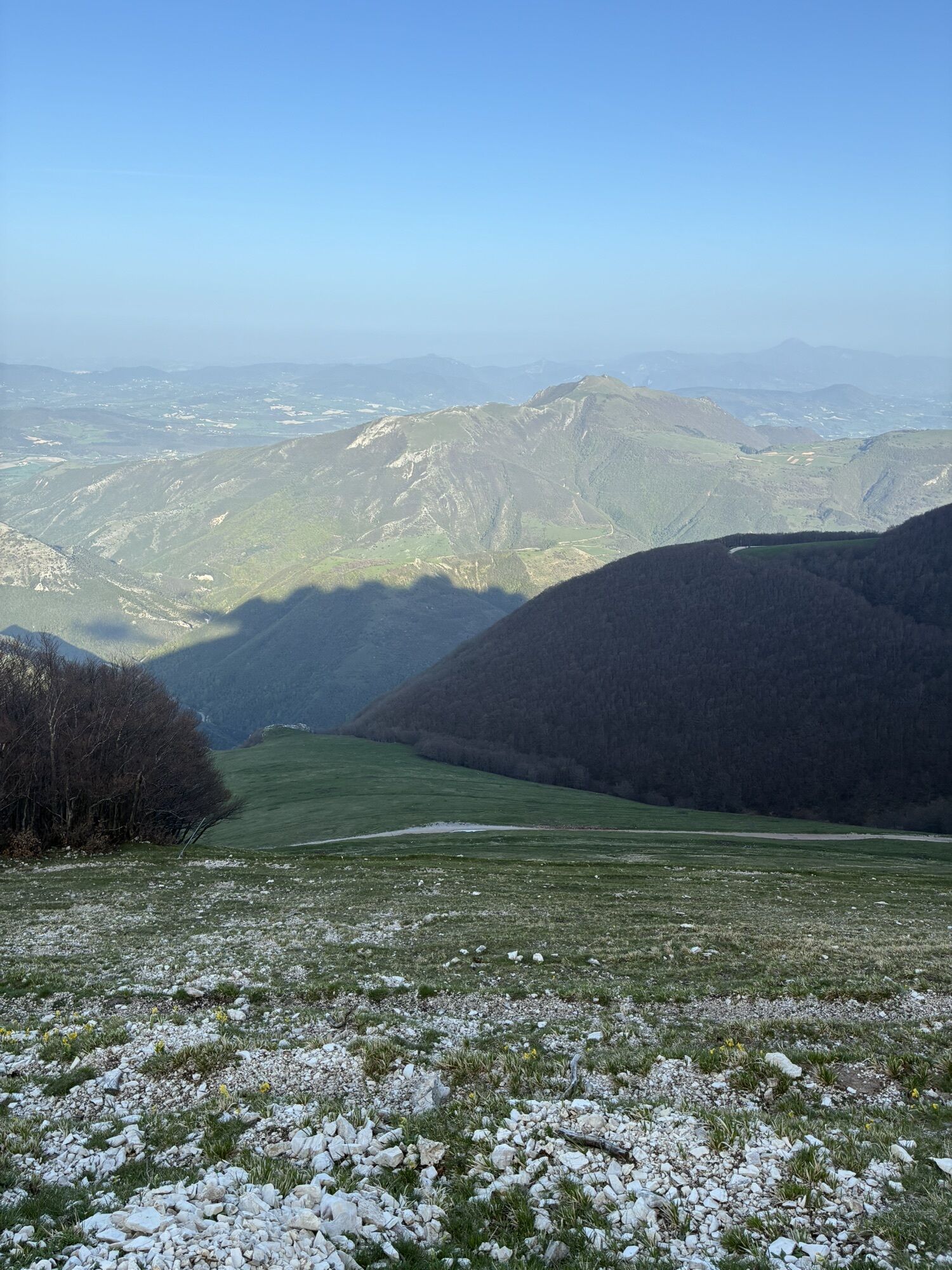
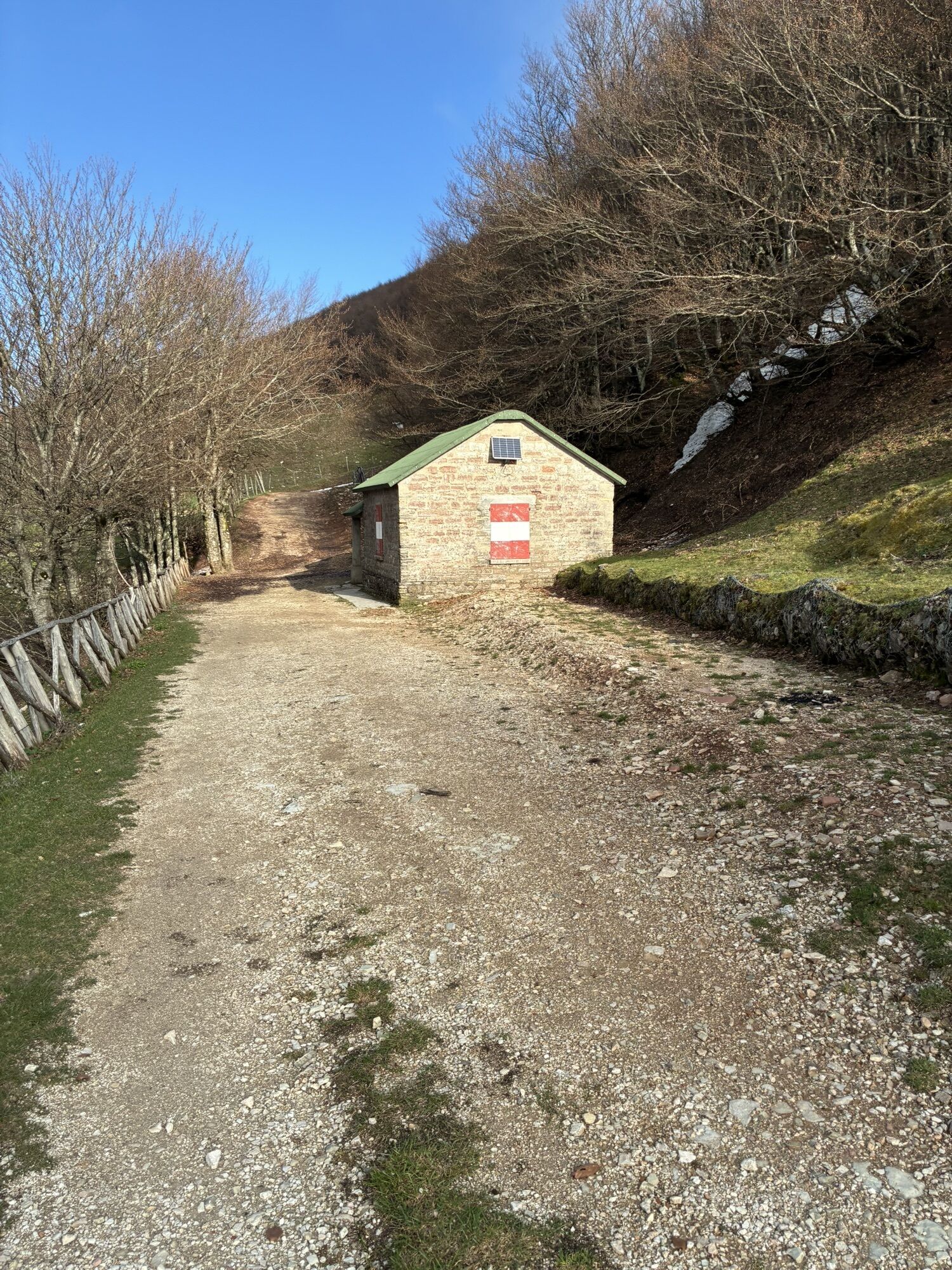
Cactus - Chiaserna - Monte Catria - Rifugio della Vernosa
heavy
Navigace na stránkách
Navigace na stránkách
Pořiďte si tuto prohlídku do mobilního telefonu
Cactus - Chiaserna - Monte Catria - Rifugio della Vernosa
heavy
Turistika
12.68
km
Naskenujte QR kód a spusťte navigaci v aplikaci bergfex.

Pěší turistika a stopování


Cactus - Chiaserna - Monte Catria - Rifugio della Vernosa
heavy
Vzdálenost
12.68
km
Doba trvání
04:44
h
Ascent
1215
hm
Hladina moře
490 -
1701
m
Stažení skladby
Cactus - Chiaserna - Monte Catria - Rifugio della Vernosa
heavy
Turistika
12.68
km

Trasa
Cactus
(489 m)
Restaurace
0.0 km
Chiaserna
(490 m)
Vesnice
0.0 km
Monte Catria
(1701 m)
Summit
5.4 km
Abisso Cani Sciolti ingresso N.
(1692 m)
Vchod do jeskyně
5.6 km
Madonna degli Scout
(1370 m)
Koridor/terén
7.5 km
Capanna dei Porci
(1270 m)
Útočiště (neřízené)
7.9 km
Chiaserna
(490 m)
Vesnice
12.6 km
Trasa
Cactus - Chiaserna - Monte Catria - Rifugio della Vernosa
heavy
Turistika
12.68
km
Cactus
(489 m)
Restaurace
0.0 km
Chiaserna
(490 m)
Vesnice
0.0 km
Abisso Cani Sciolti
(1697 m)
Vchod do jeskyně
5.4 km
Monte Catria
(1701 m)
Summit
5.4 km
Abisso Cani Sciolti ingresso N.
(1692 m)
Vchod do jeskyně
5.6 km
Rifugio della Vernosa
(1490 m)
Útočiště (neřízené)
6.5 km
Madonna degli Scout
(1370 m)
Koridor/terén
7.5 km
Capanna dei Porci
(1270 m)
Útočiště (neřízené)
7.9 km
Chiaserna
(490 m)
Vesnice
12.6 km
Cactus
(489 m)
Restaurace
12.6 km
Zatím žádné recenze
Oblíbené prohlídky v okolí
-
4.0
Von Coldipeccio auf den Monte Motette
Turistika 14.6 km -
Giro e vetta del Monte calvario
světloTuristika 7.47 km -
Bosco di Tecchie
středníTuristika 9.91 km -
5.0
Sigillo - Casa Valcella - Buca di Catino - Monte Cucco
středníTuristika 4.93 km -
Val di Ranco - Colle gli Scogli - Monte Cucco - Monte Cucco da Tobia
Turistika 15.4 km -
Pian di Lavacchio - Monte Nerone - La Rocchetta - Visso
středníTuristika 261.0 km -
Costacciaro - Buca di Mazzapane - Grotta del Banco Bituminoso - Monte Cucco
heavyTuristika 18.1 km -
Costacciaro - Buca di Mazzapane - Monte Cucco - Monte Culumeo
heavyTuristika 28.8 km -
Monte Cucco da Tobia - Pozzetto del Ranco - Colle gli Scogli - Val di Ranco
středníTuristika 13.2 km -
Costacciaro - Monte Cucco
středníTuristika 4.62 km
Pěší turistika a stopování

Více než 550.000 návrhů výletů, podrobné mapy a intuitivní plánovač tras dělají z aplikace nezbytnou výbavu pro všechny milovníky přírody.

Nenechte si ujít nabídky a inspiraci pro vaši příští dovolenou
Přihlaste se k odběru newsletteru
Chyba
Došlo k chybě. Zkuste to prosím znovu.
Děkujeme za vaši registraci
Vaše e-mailová adresa byl přidán do poštovního seznamu.
Zájezdy po celé Evropě
Rakousko
Švýcarsko
Německo
Itálie
Slovenia
Francie
Nizozemsko
Belgie
Polsko
Lichtenštejnsko
Česko
Slovensko
Španělsko
Chorvatsko
Bosna a Hercegovina
Lucembursko
Andorra
Portugal
Iceland
United Kingdom
Ireland
Greece
Albania
North Macedonia
Malta
Norway
Montenegro
Moldova
Kosovo
Hungary
San Marino
Romania
Estonia
Latvia
Belarus
Cyprus
Lithuania
Serbia
Bulgaria
Monaco
Denmark
Sweden
Finland