





Stoos - Fronalpstock panorama trail
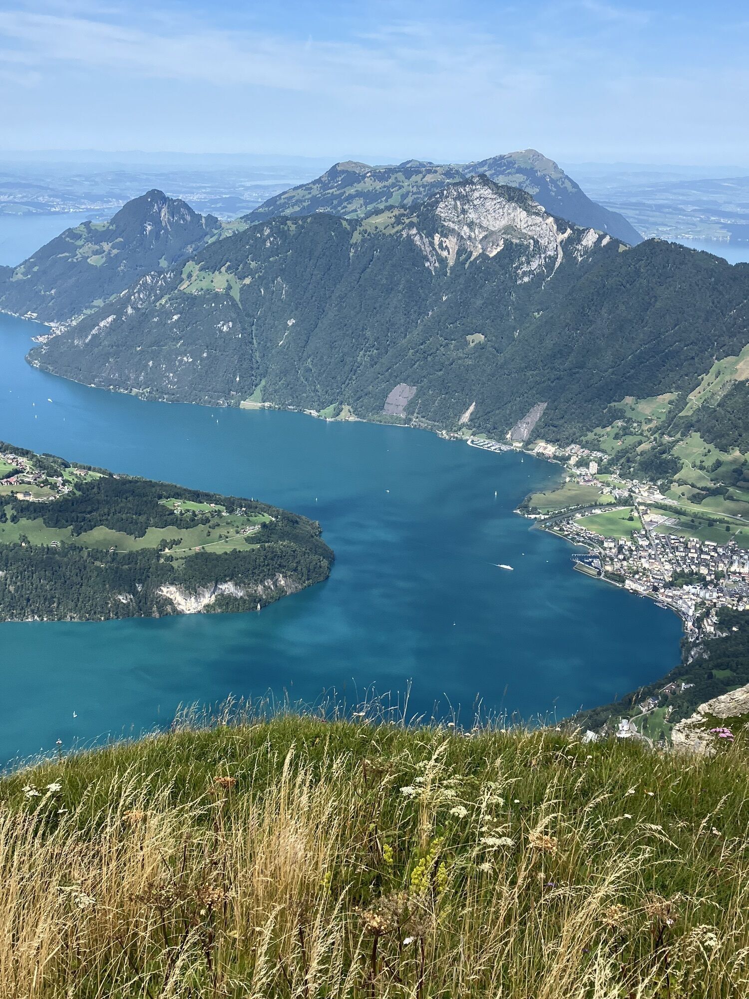
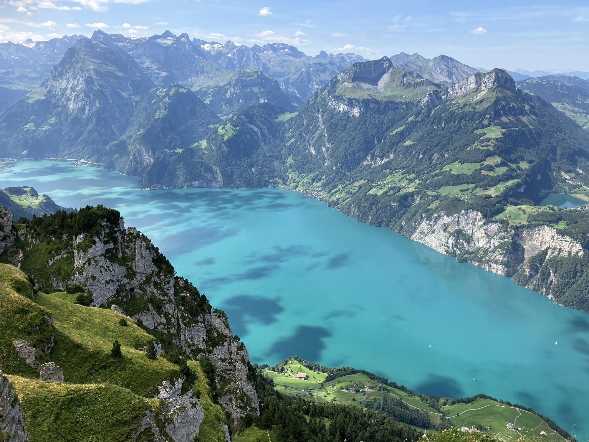
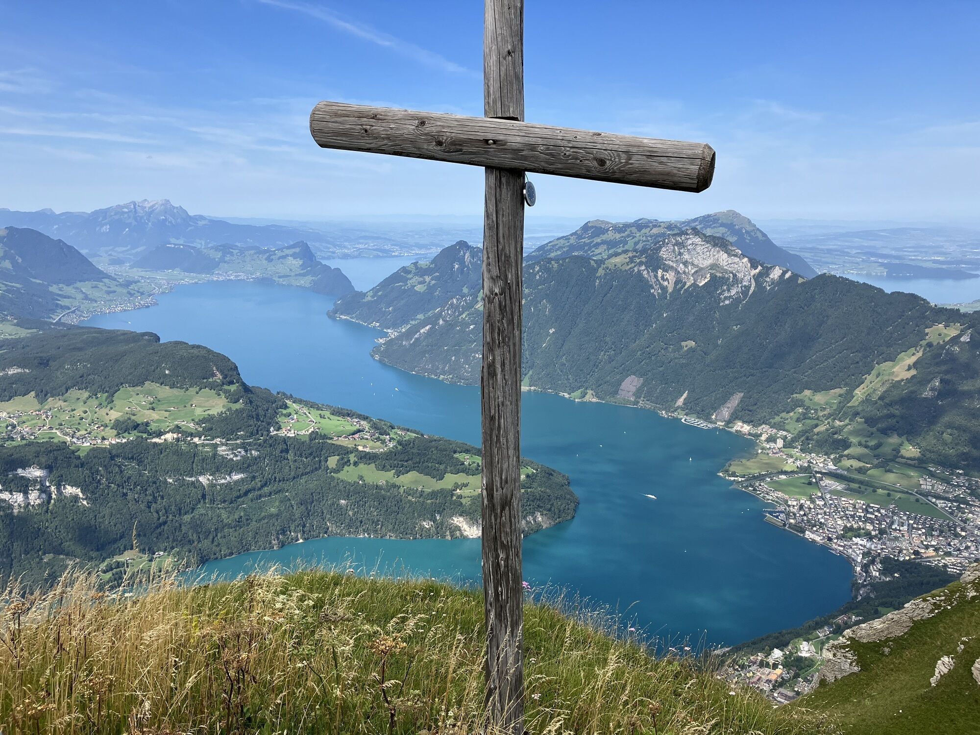
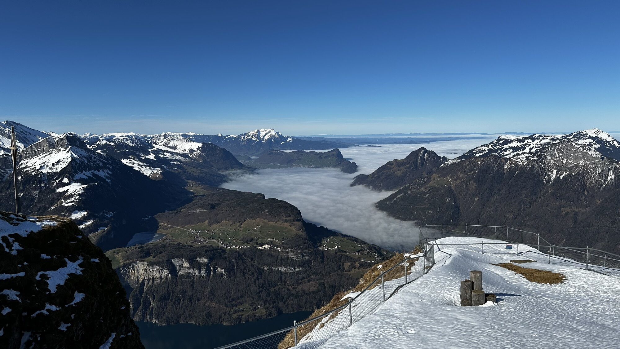
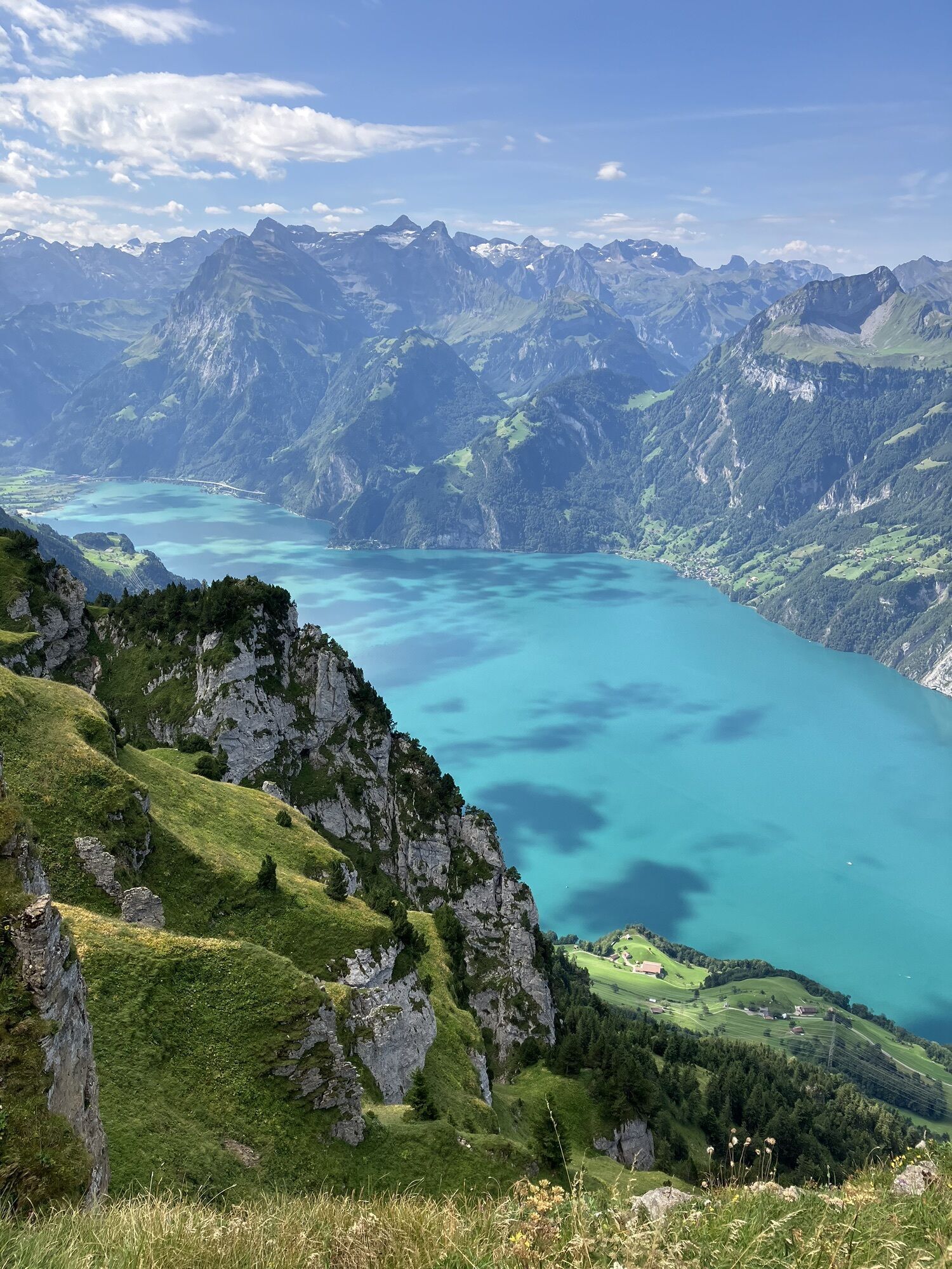
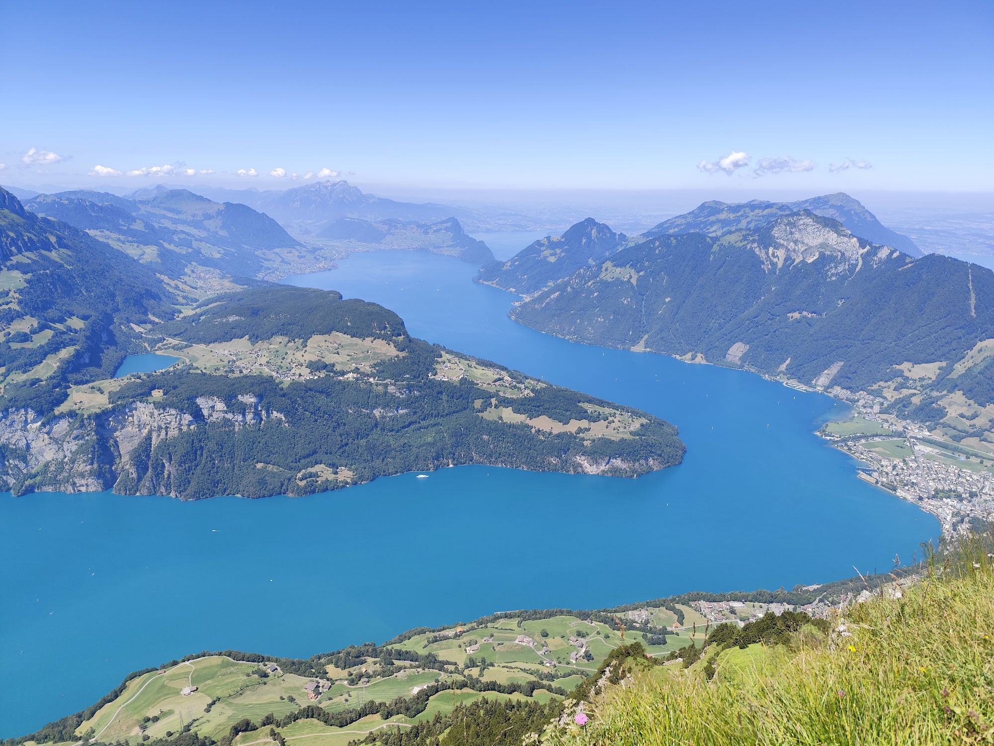
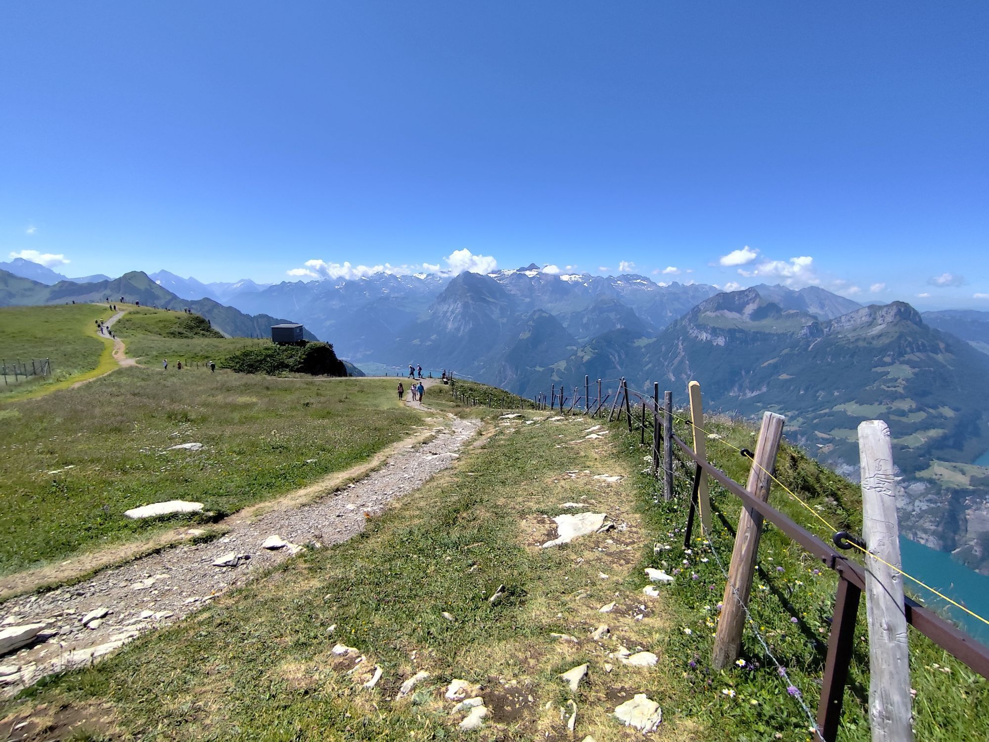
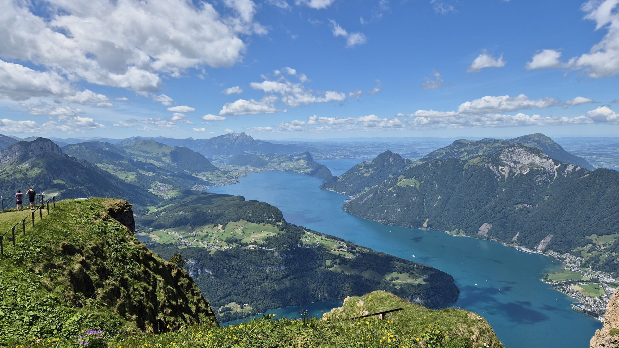
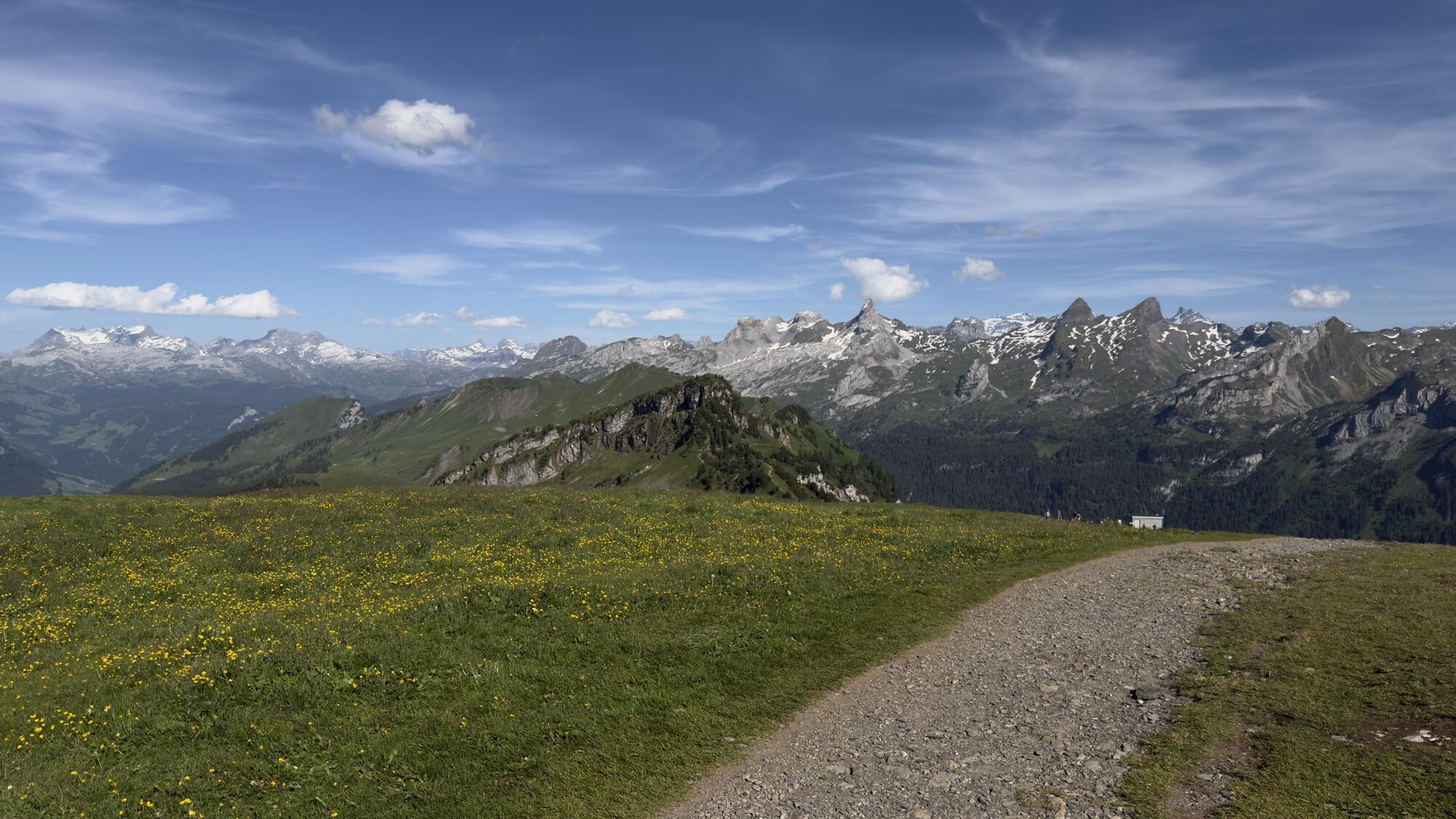
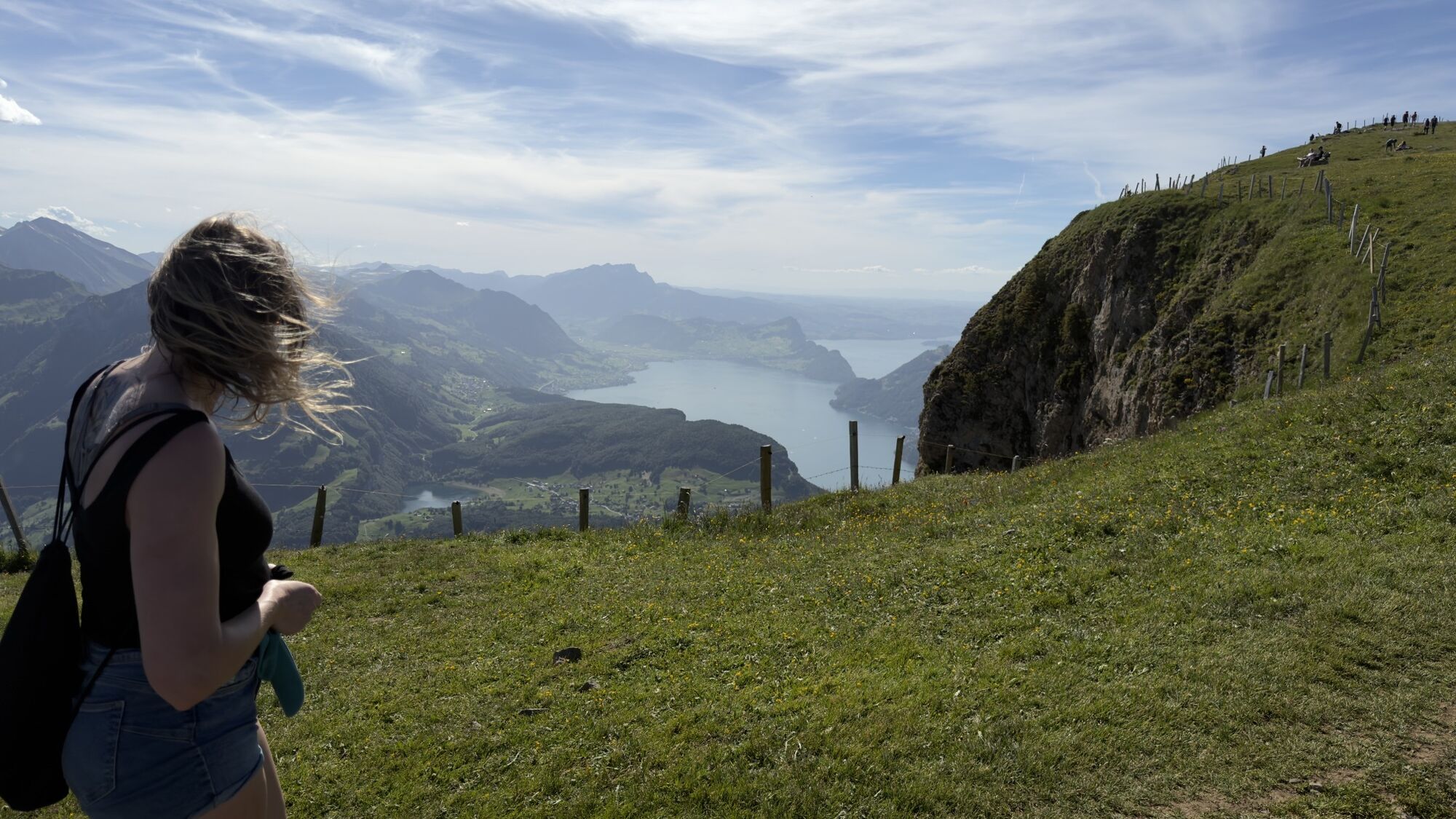
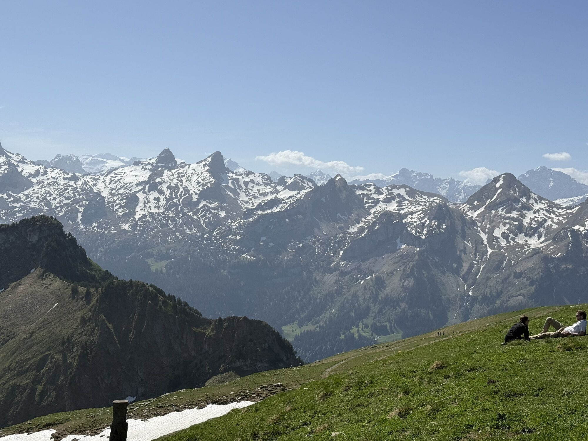
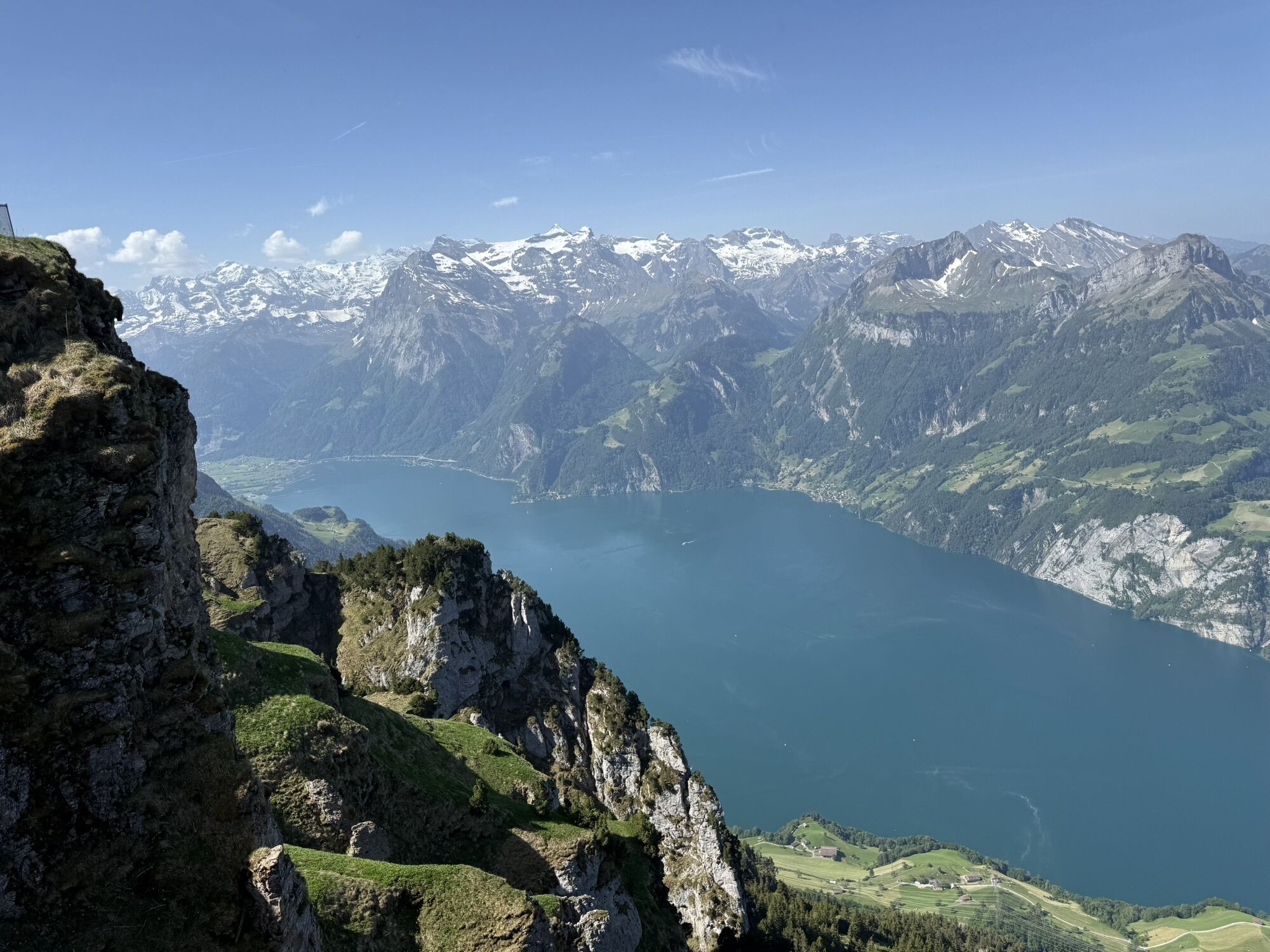
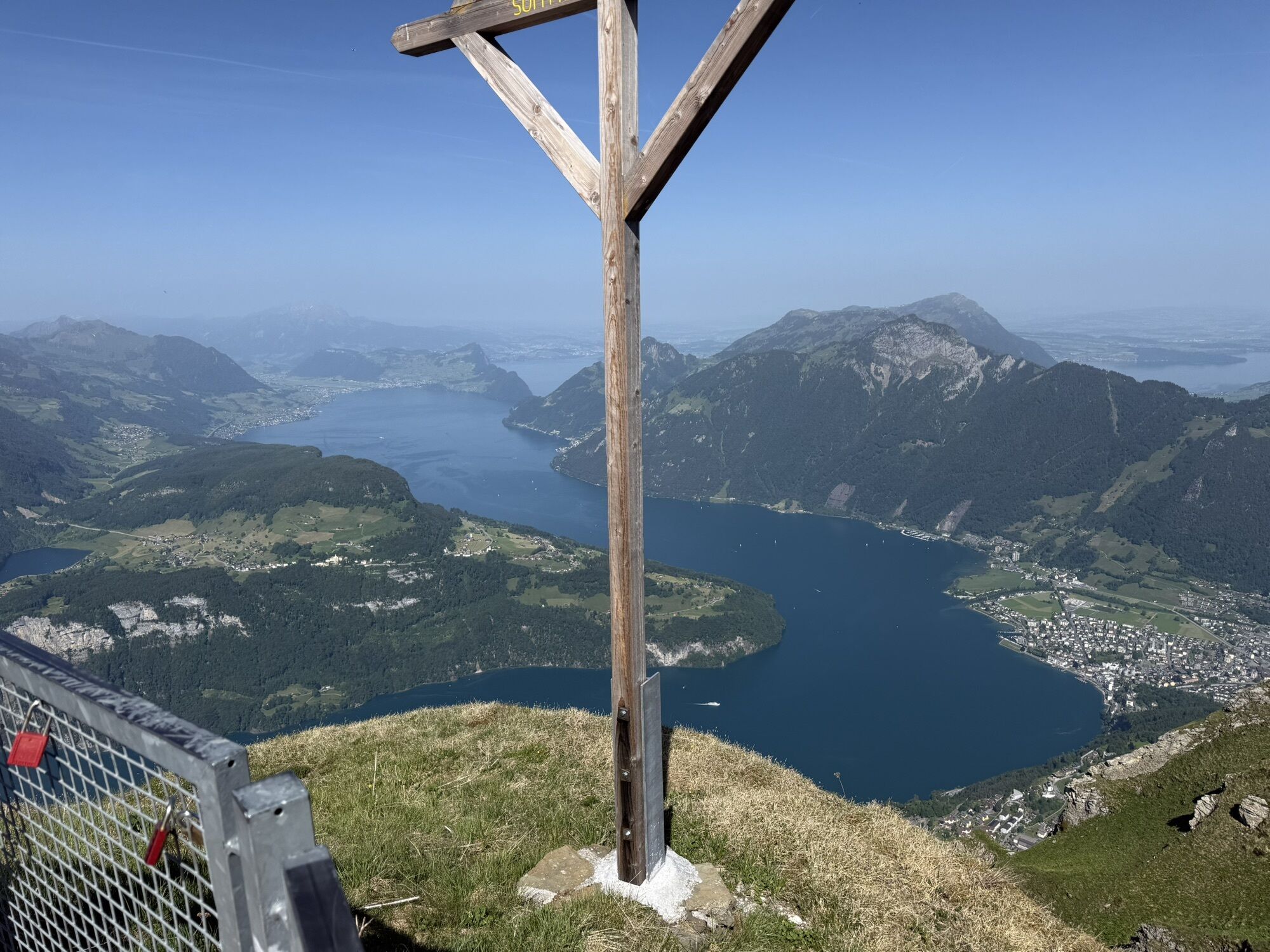
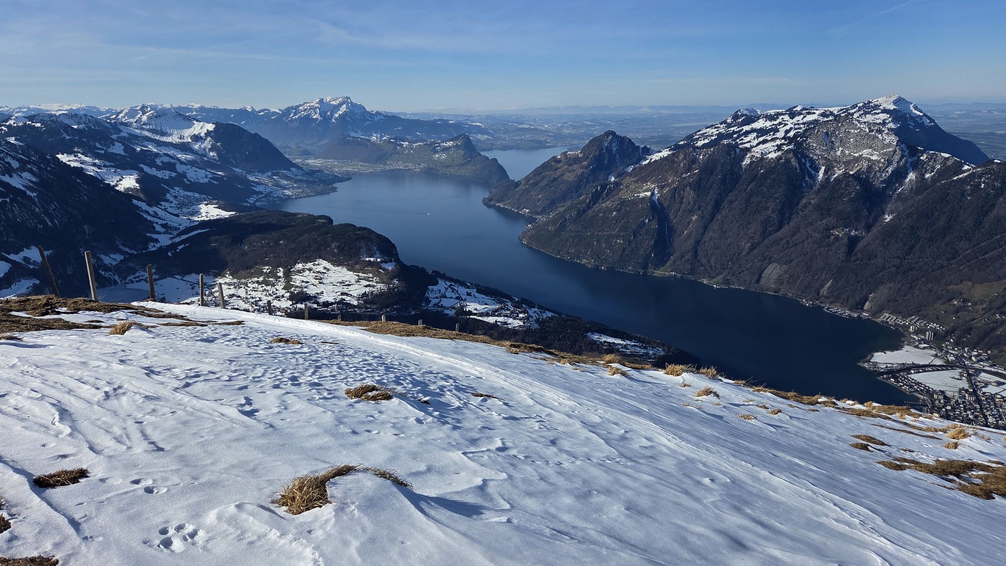
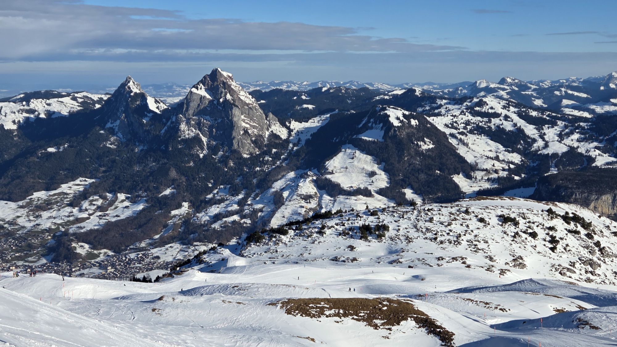
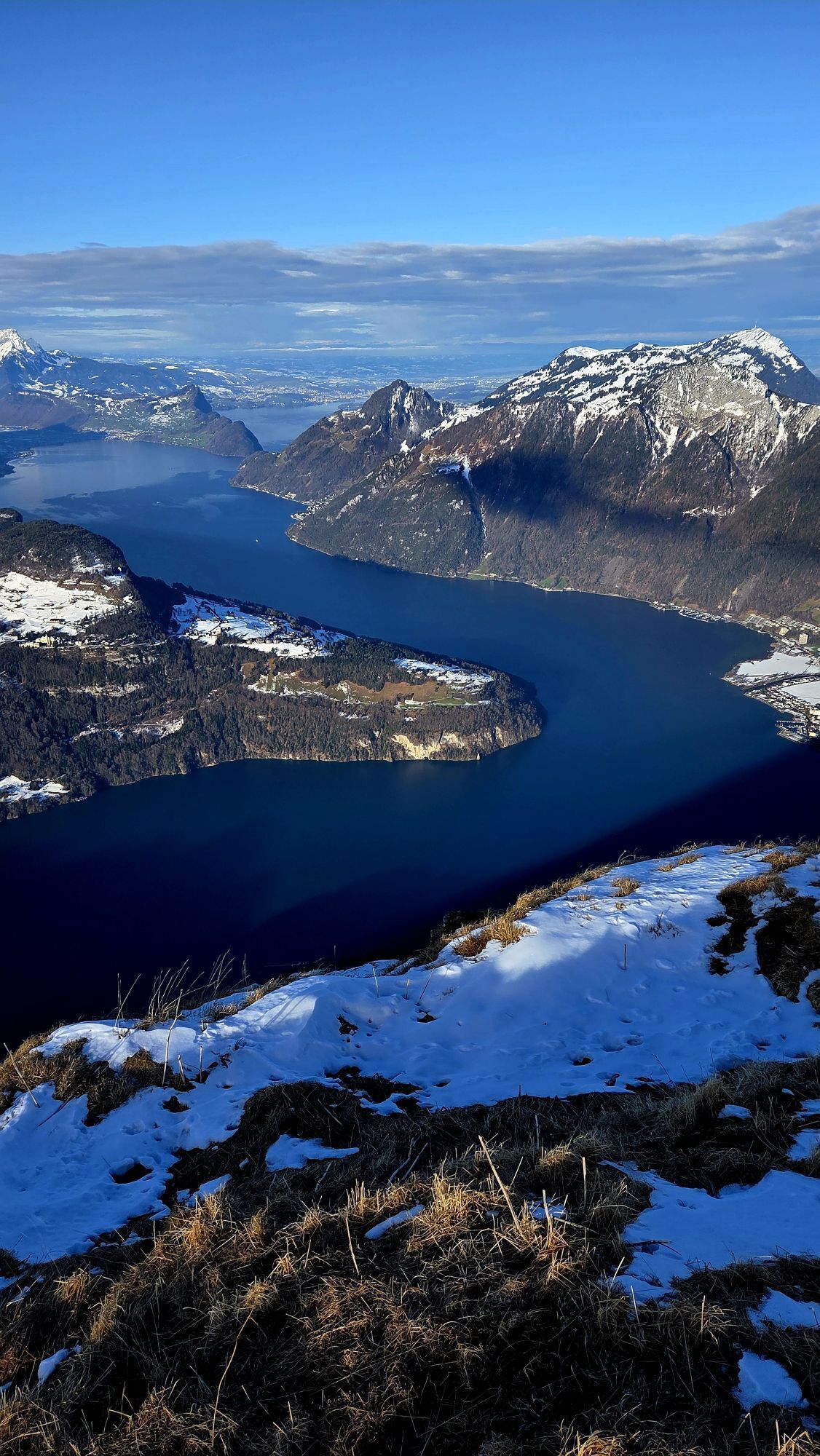
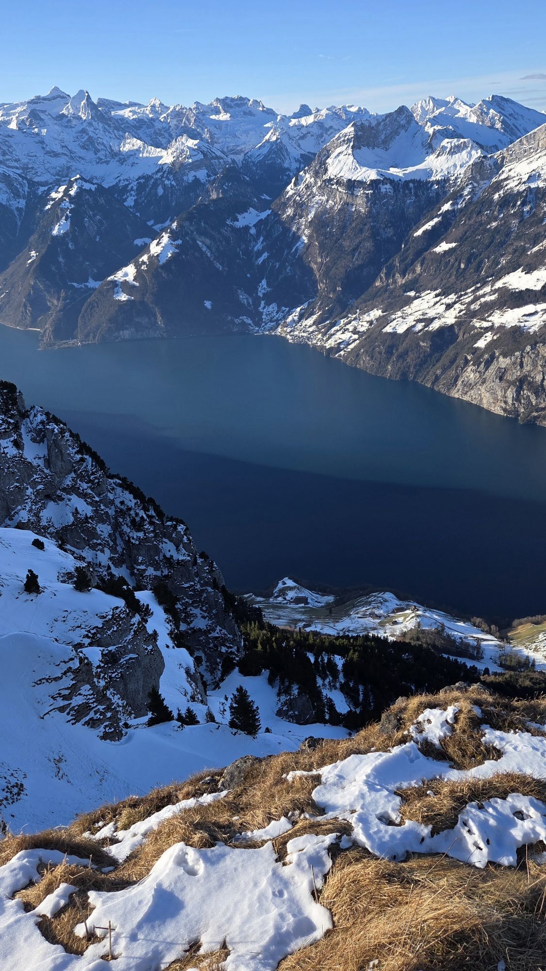
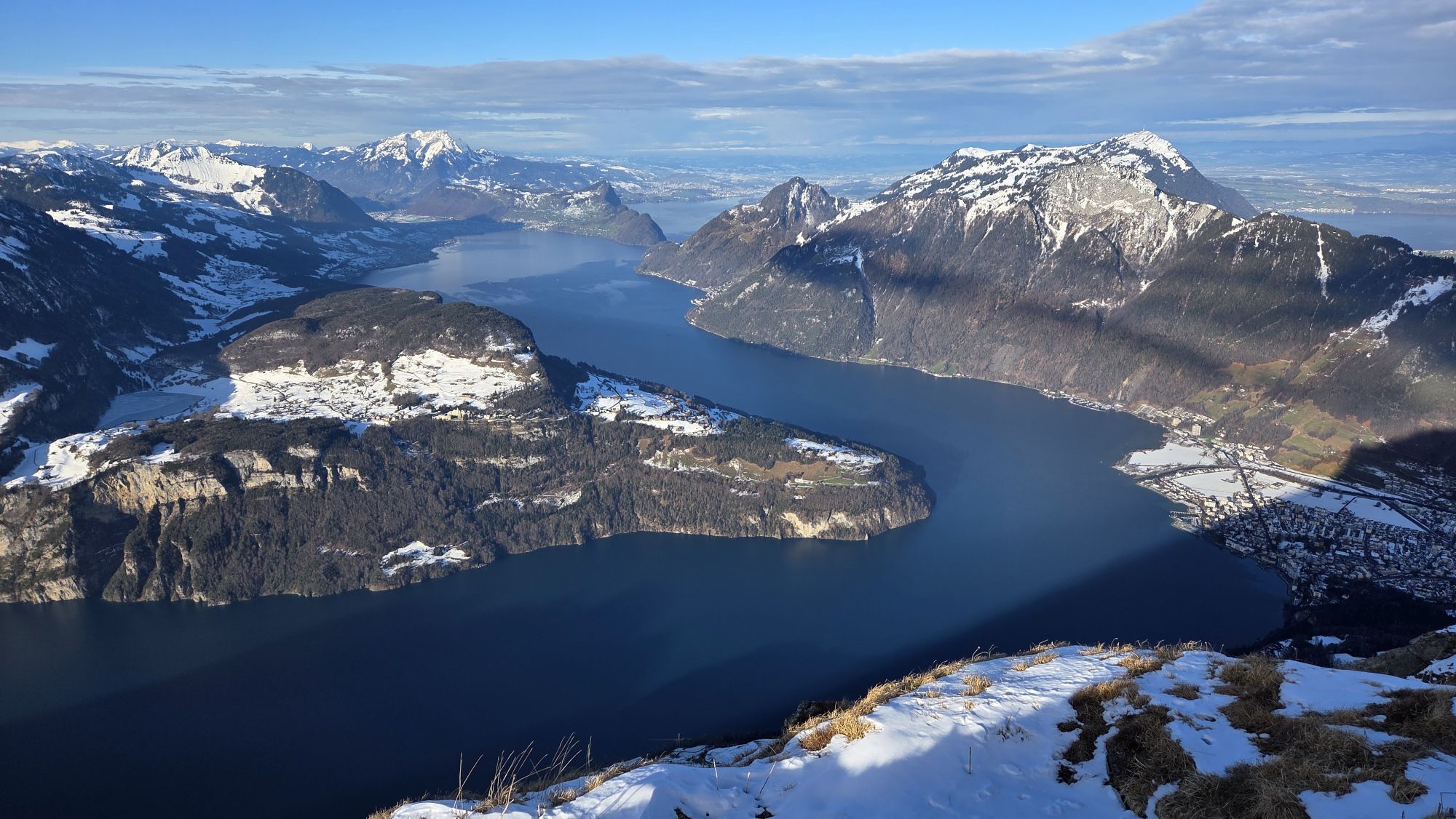
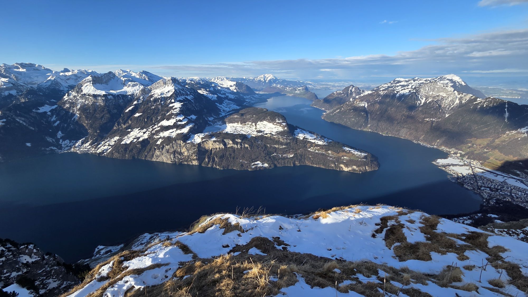
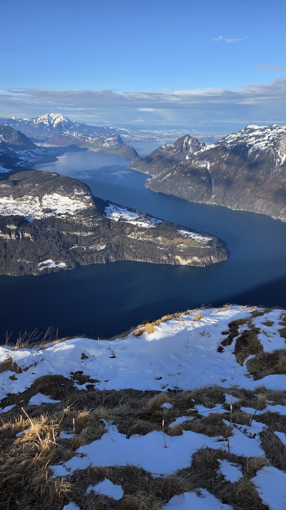
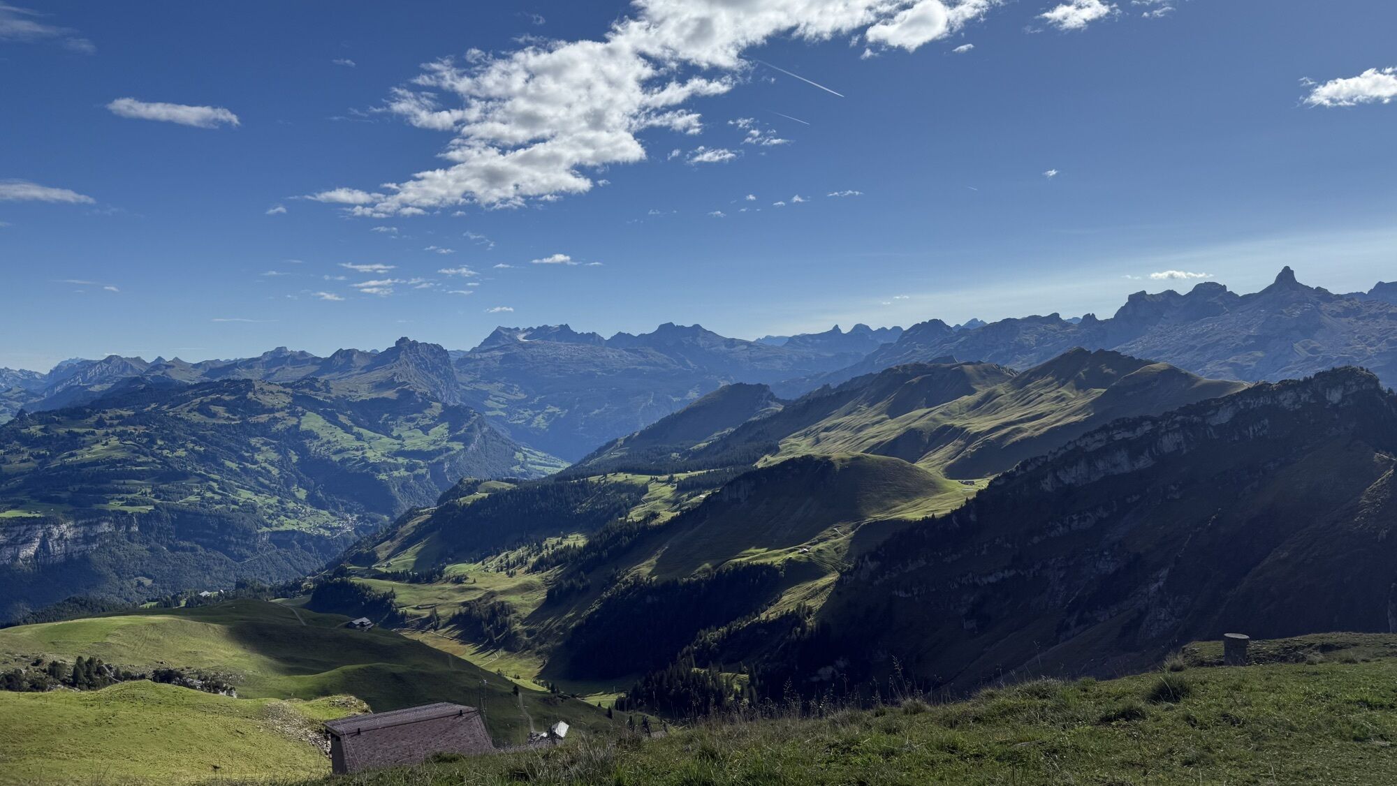
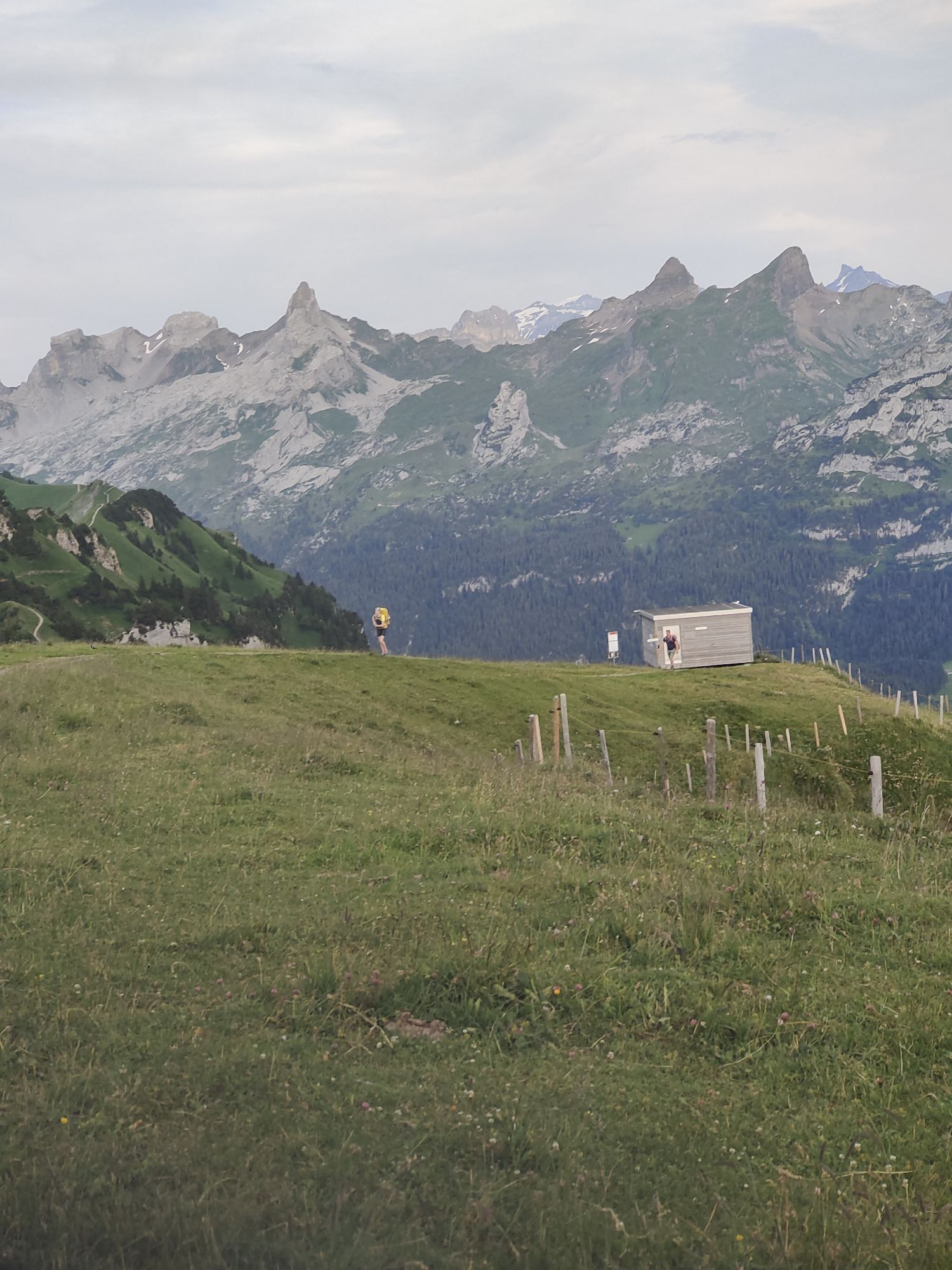
Being virtually level, the circular path could be walked in 30 minutes. But who wants to stomp their way through this wonderful panorama? Too many snow-covered peaks, romantic valleys and blue lakes are...
Being virtually level, the circular path could be walked in 30 minutes. But who wants to stomp their way through this wonderful panorama? Too many snow-covered peaks, romantic valleys and blue lakes are waiting to be seen. The powerful nature of the vista must be allowed to gradually flow through the body. The feast for the eyes is followed by a feast for the palate in the summit restaurant. The path is signposted and starts next to the upper terminus of the chairlift, which later returns you to the car-free mountain village of Stoos.

Fronalpstock Gipfel - Fronalpstock Gipfel
Pistenplan Stoos, Winterprospekt Region Stoos-Muotatal
Gute Winterschuhe, dem wetterentsprechende Kleidung.
Bitte folgen Sie der Winterwanderweg-Beschilderung auf dem Trail.
By car on the A4 to the Schwyz exit, then in the direction of Muotathal to the valley station of the large funicular Schwyz-Stoos or by car on Morschacherstrasse (at Wolfsprung), then follow the signs to Morschach and continue to the valley station of the small cable car Morschach-Stoos.
From the mountain stations follow the signs to the chairlift Fronalpstock.
Parking is available at the valley station of the Schwyz-Stoos funicular and the cable car Morschach-Stoos.
Einkehr ins heimelige Gipfelrestaurant Fronalpstock auf 1922 m. ü. M.
Webové kamery z prohlídky
Získejte přehled Vždy živě na místě s více než 9 500 webkamerami. bergfex Jako uživatel Pro si nyní můžete zobrazit odpovídající webové kamery pro mnoho prohlídek v aplikaci prohlídky z. Můžete si tak přímo prohlédnout aktuální podmínky. Oblíbené prohlídky v okolí
- 4.8
Gratwanderung Klingenstock
světloTuristika 9.36 km - 4.6
Rundwanderung
světloHorská turistika 12.9 km - 4.3
Mythenweg - Bergwanderung auf den Grossen Mythen
heavyTuristika 3.40 km - 4.4
Kleiner Mythen
středníTuristika 6.31 km - 4.5
Brunni-Feuerstellen-Rundwanderung
světloTuristika 11.5 km - 4.7
Mythen via Ibergeregg
středníTuristika 9.73 km - 3.9
Gnipen - ab Goldau - Rundwanderung
středníTuristika 10.6 km - 5.0
Wanderung entlang der Mythen, Alp "Zwüschet-Mythen"
středníTuristika 10.5 km - 4.8
Holzegg - Grosser Mythen - Restaurant Grosser Mythen - Alpwirtschaft Brunnialp
středníTuristika 5.66 km - 4.7
Rundwanderung: Alplersee - Rophaien - Spilauersee - Lidernenhütte
heavyTuristika 15.5 km
Pěší turistika a stopování


Nenechte si ujít nabídky a inspiraci pro vaši příští dovolenou
Vaše e-mailová adresa byl přidán do poštovního seznamu.





