


Path of creation


Part 1a:
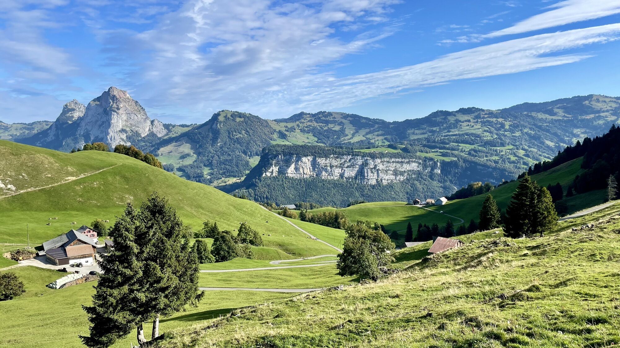
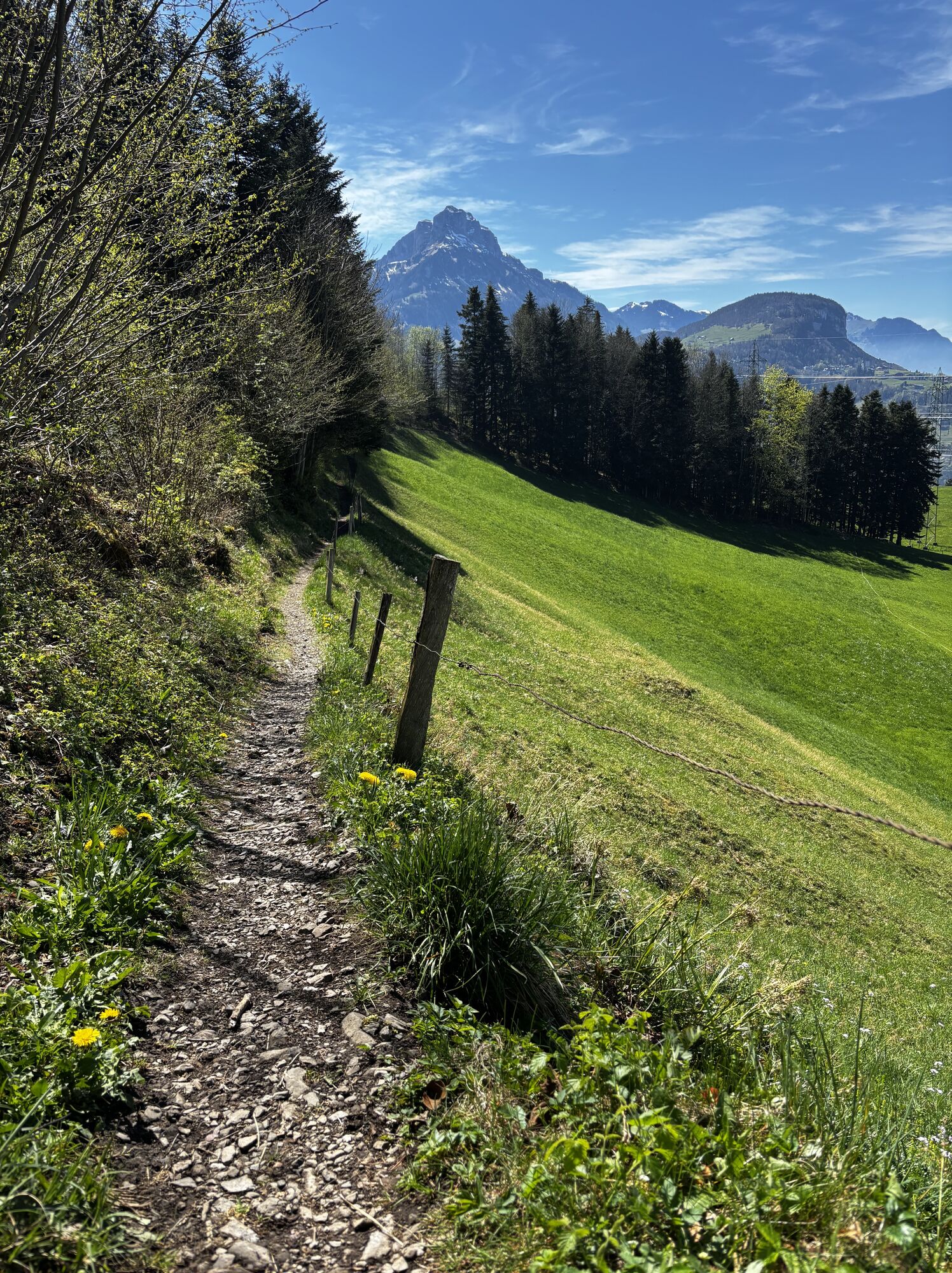
From Morschach-Mattli, the path climbs about 100 metres to the Schwyzerhöchi, before descending leisurely to Oberschönenbuch. Hikers then follow the flat natural road to Schlattli (Pt. 569) and...
Part 1a:
From Morschach-Mattli, the path climbs about 100 metres to the Schwyzerhöchi, before descending leisurely to Oberschönenbuch. Hikers then follow the flat natural road to Schlattli (Pt. 569) and climb up the opposite side of the valley to Uf Ibrig. After the ascent, a pleasant intermediate section follows along the Ober Gibel. Via the Chaisten reed area, the mountain path reaches the Handgruebi, where the last stretch over the Gründel leads to the end of the stage at St. Karl (Pt. 1165).
Part 1b:
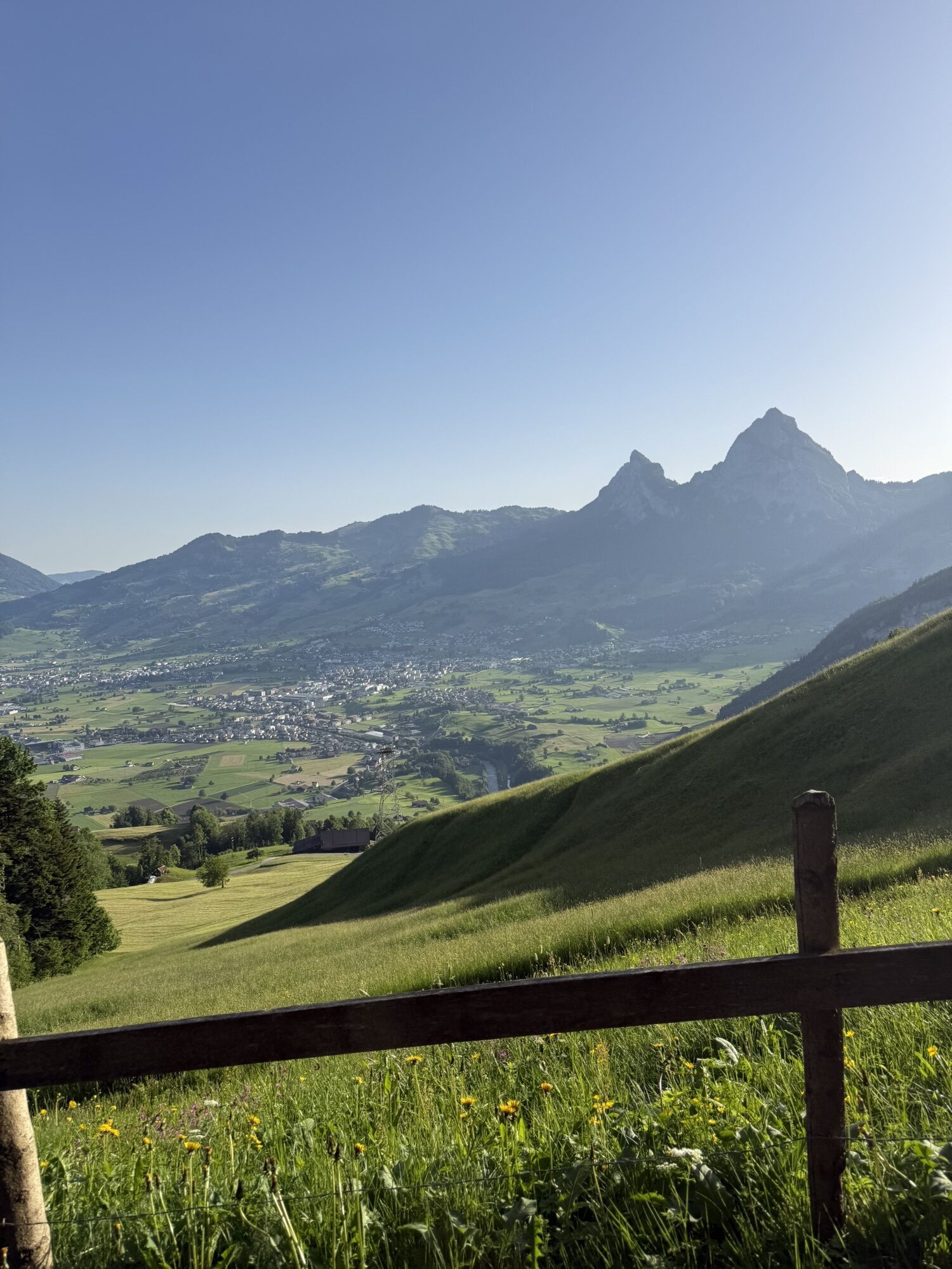
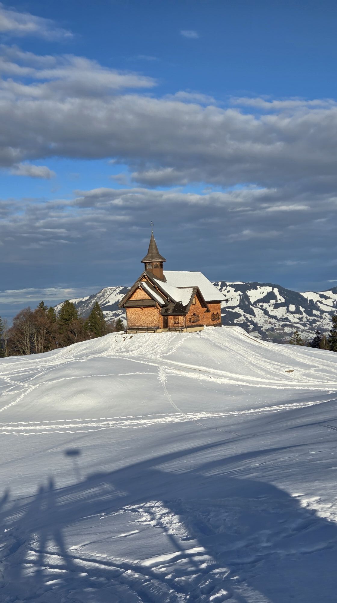
From the Hildegard-Hotel St. Karl at 1165 metres above sea level, the mountain path descends steadily towards Illgau on the sunny southern slope and from there along the old escape route down to the Muota valley (pt. 582). After a short stretch of trottoir, the path branches off towards Wigetli/Tristel and runs along the rushing Muota to the Wil district. The St. Josef monastery can be seen from afar.
Part 2:
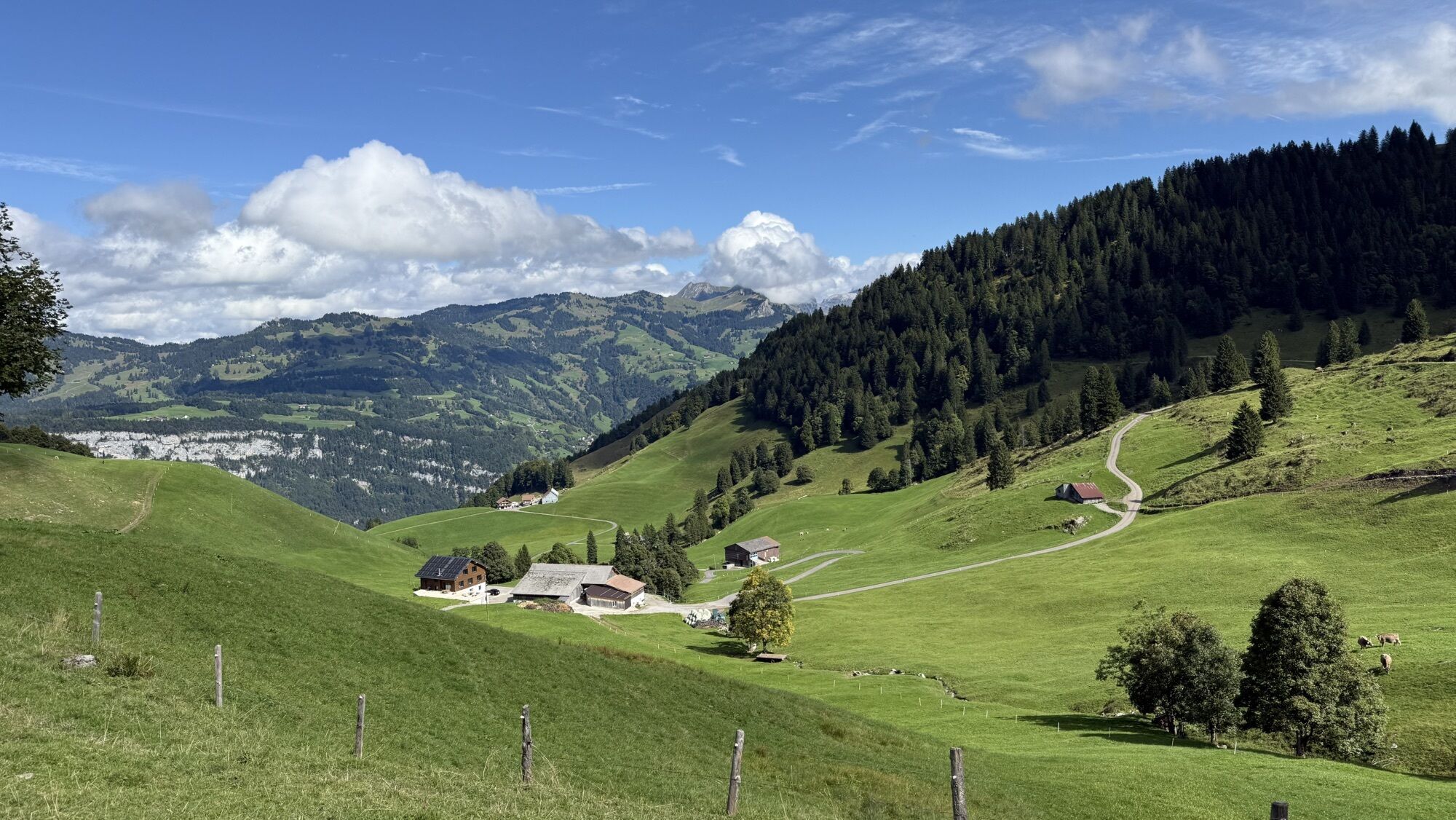
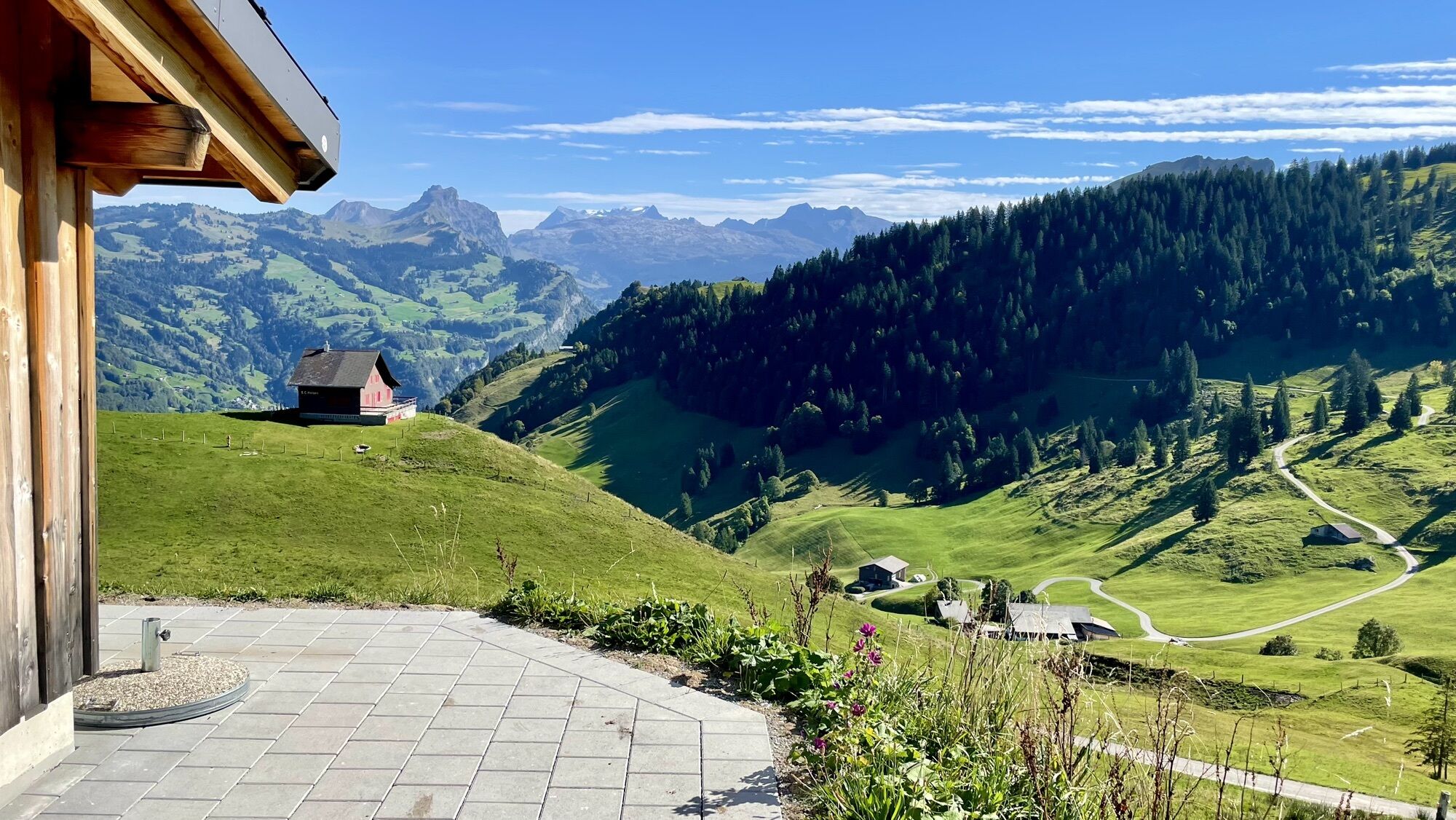
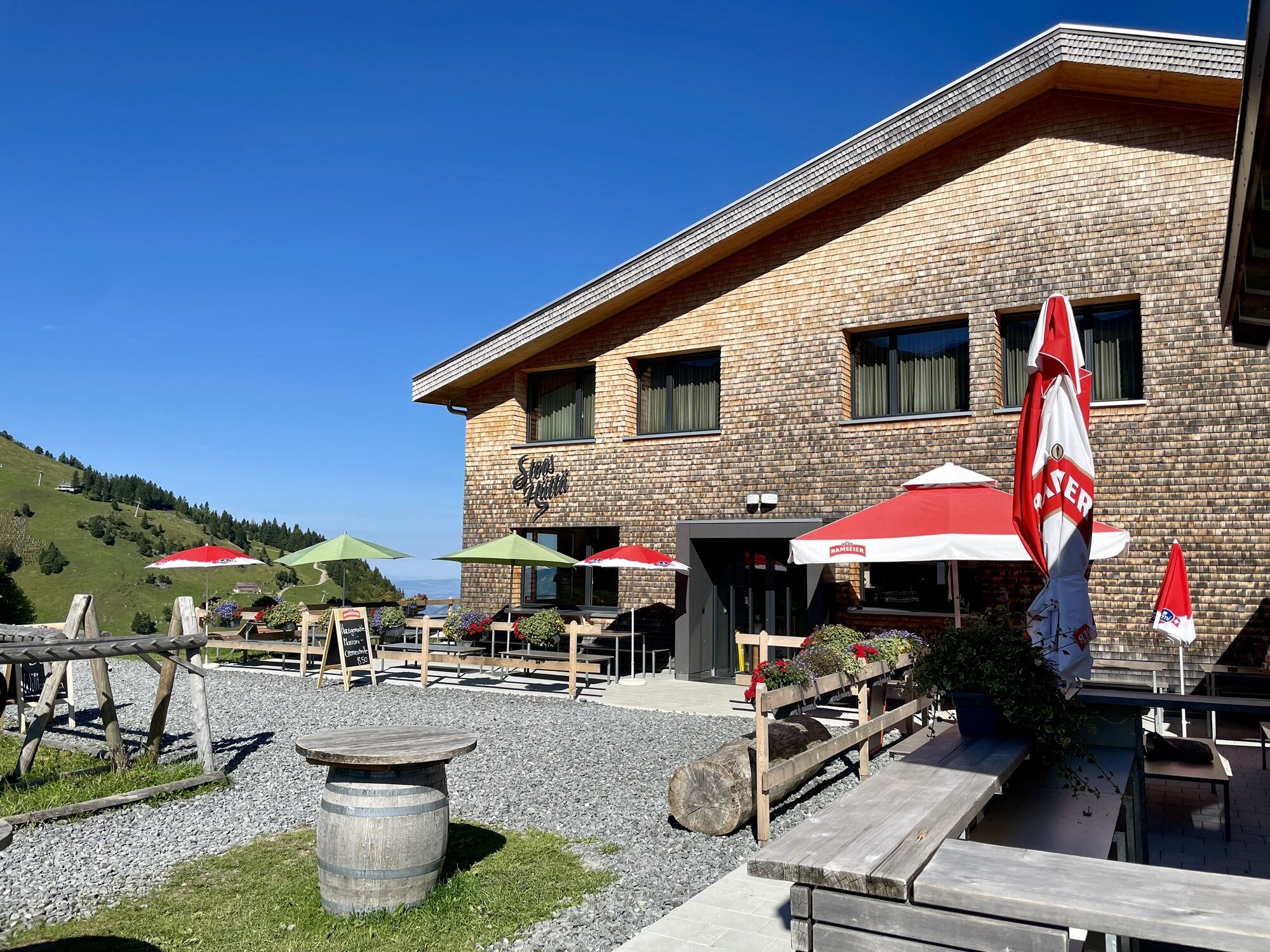
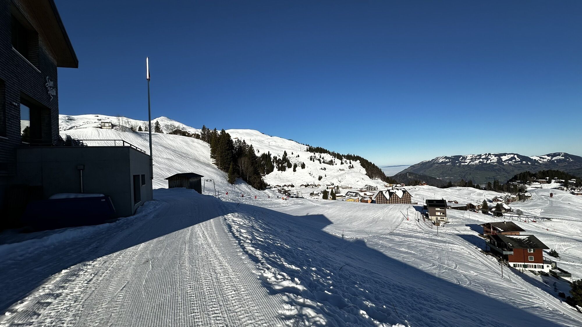
The hiking and mountain trails of the third stage are well developed and almost never lead over asphalted roads. It leads over extensive alpine pastures, through shady woodland, wonderful flower meadows or impressive valley crossings.From the St. Josef monastery, the Muota hiking trail leads along the Muota to Hinterthal and from there along the deep ravine of the Hüribach up to Stali (Pt. 907). A short stretch downhill and the forest road branches off to the left to Frutt and on to Goldplangg. The following mountain path over the Wannentritt and various Stoos Alps takes hikers to the winter and health resort of Stoos. From there the path follows the old road to Morschach, where the destination of the stage is Antoniushaus Mattli.
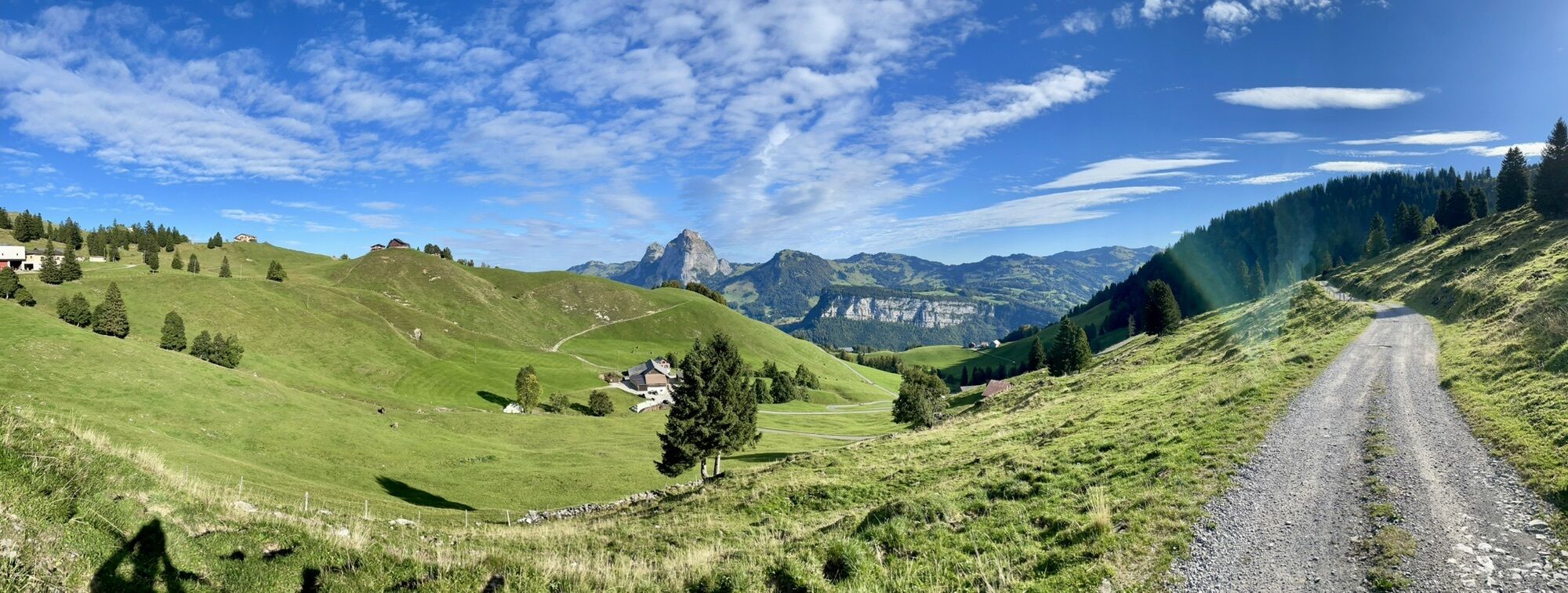
The route starts at Antoniushaus Mattli, via Laui, Dägenbalm, Trümlenen to Schwyzerhöchi, descent to Oberschönenbuch, then towards Schlattli, ascent to Uf Ibrig (Aufiberg). Continue via Blätzli, Halten, Chaisten to Handgruobi (Hand), via Gründel to the stopover at St. Karl. Descent via Wart to Illgau, at the end of the village descent onto the valley floor to the sand, via Boden to Will and Muotathal.From St. Josef monastery, the Muota hiking trail leads along the Muota to Hinterthal, then towards Frutt, Grindsblacken, Suterlis Hütte, Föhnenhütte. Keep right towards Uf den Gütschen, then through Goldplangg to Wannentritt. Via Laubgarten to Geissbützen, Rinderchruteren, Brunnerboden to the village of Stoos. In the village to the mountain station of the cable car Morschach-Stoos, to the right of it into the forest and over the old Stoos road (Stoos forest) to the Nägelisgärtli. Via Dägenbalm to the stage town of Mattli.
Wanderschuhe mit gutem Profil oder Treckingschuhe, Regenjacke, Getränk, Verpflegung, eventuell Stöcke.
By car on the A4 to the Mositunnel exit, then turn off to Morschach.
By SBB to Brunnen railway station SBB timetable
Auto AG Schwyz Line 2 Schwyz-Brunnen with Line 4 from Brunnen to Morschach Timetable AAGS
Parking in the village (chargeable).
Antonius House Mattli, Morschach Antonius House Mattli
Hildegardhotel St. Karl Hildegardhotel
A detour below Geissbützen to Alp Tröligen, the largest alpine cheese dairy on Stoos (with catering and shopping facilities).
Webové kamery z prohlídky
-
Bergstation Sternen
-
Skilifte Brunni-Haggenegg, Alpthal
-
Handgruobi Talstation
-
Passhöhe Ibergeregg
-
Talstation Skilift Brunni
-
Passhöhe Ibergeregg
-
Mittelstation Grossenboden
-
Bergstation Brünnelistock
-
Bergstation Stägleren/Rotenflue
-
Talstation Skilift Brunni
-
Stoos - Fronalpstock
-
Stoos - Fronalpstock
-
Stoos - Fronalpstock
-
Stoos - Fronalpstock
-
Stoos - Fronalpstock
-
Stoos - Fronalpstock
-
Stoos - Fronalpstock
-
Bergstation Sternen
-
Stoos Dorf
-
Stoos Dorf
-
Stoos Dorf
-
Stoos Dorf
-
Stoos Dorf
-
Stoos Dorf
-
Seebli - Talstation Sternen
-
Stoos - Fronalpstock
-
Stoos Dorf
-
Stoos Dorf
-
Brunnen am Vierwaldstättersee
-
Rotenflue
-
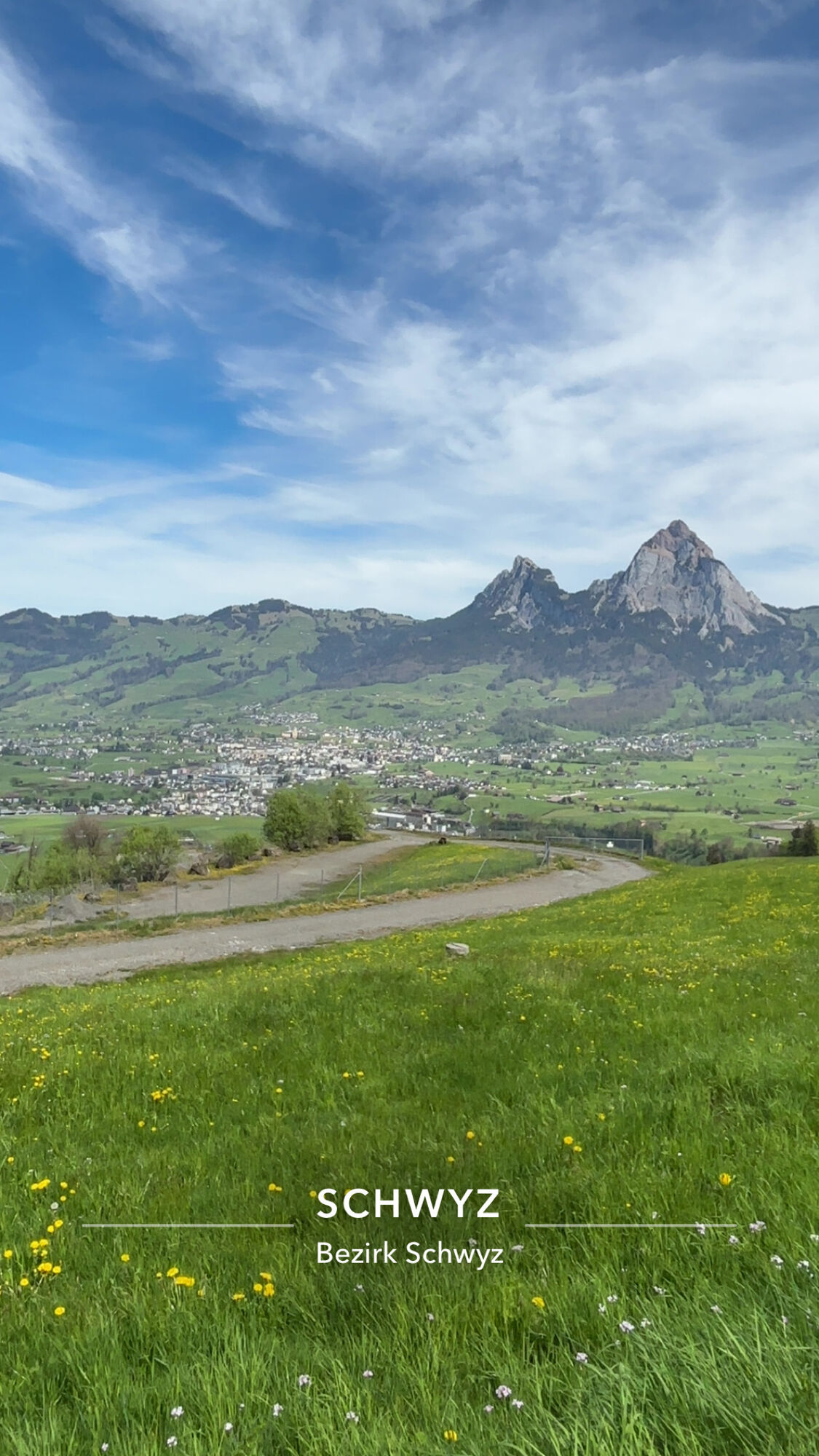
Schwyz
-
Morschach
-
Muotathal
-
Lipplis
-
Holzegg Bergstation
-
Fuederegg
-
Laucherenstöckli
-
Rütliwiese
-
Sisikon Camping
Oblíbené prohlídky v okolí
-
4.8
Gratwanderung Klingenstock
světloTuristika 9.36 km -
4.5
Rundwanderung
světloHorská turistika 12.9 km -
4.3
Mythenweg - Bergwanderung auf den Grossen Mythen
heavyTuristika 3.40 km -
4.2
Kleiner Mythen
středníTuristika 6.31 km -
4.5
Brunni-Feuerstellen-Rundwanderung
světloTuristika 11.5 km -
4.7
Mythen via Ibergeregg
středníTuristika 9.73 km -
3.9
Gnipen - ab Goldau - Rundwanderung
středníTuristika 10.6 km -
5.0
Wanderung entlang der Mythen, Alp "Zwüschet-Mythen"
středníTuristika 10.5 km -
4.8
Holzegg - Grosser Mythen - Restaurant Grosser Mythen - Alpwirtschaft Brunnialp
středníTuristika 5.66 km -
2.5
Rundwanderung Furggelenstock
středníTuristika 10 km
Pěší turistika a stopování


Nenechte si ujít nabídky a inspiraci pro vaši příští dovolenou
Vaše e-mailová adresa byl přidán do poštovního seznamu.